Elevation of E Brunner Rd, Athol, ID, USA
Location: United States > Idaho > Kootenai County > Athol >
Longitude: -116.74969
Latitude: 47.906502
Elevation: 735m / 2411feet
Barometric Pressure: 93KPa
Elevation Map:
Satellite Map:
Related Photos:

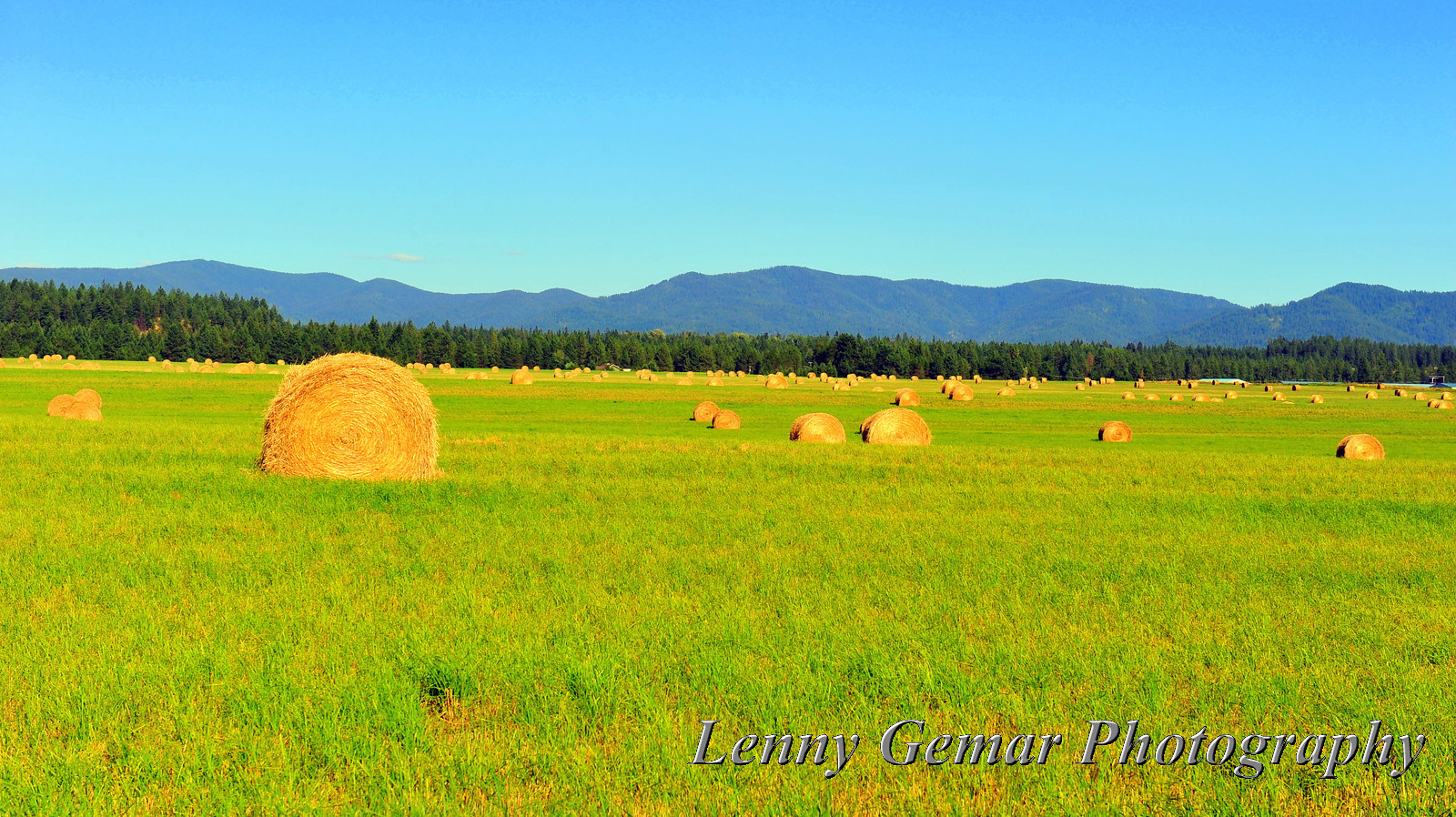
Idaho Sunsets
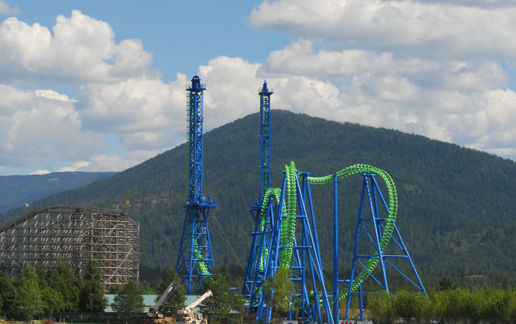
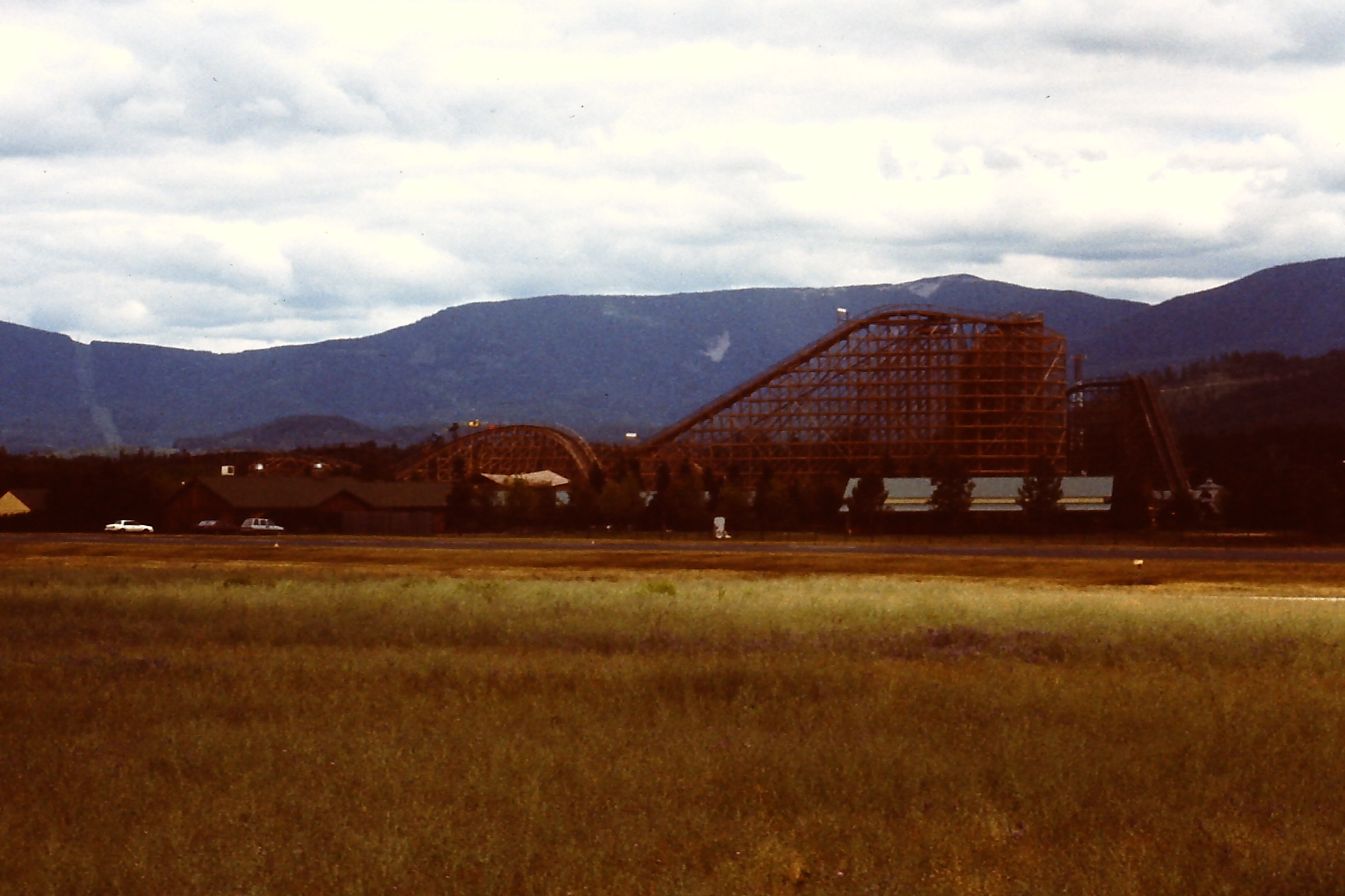
Silverwood Roller Coasters
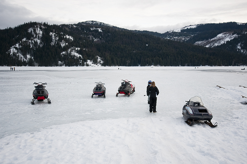
Frozen Lake Transportation
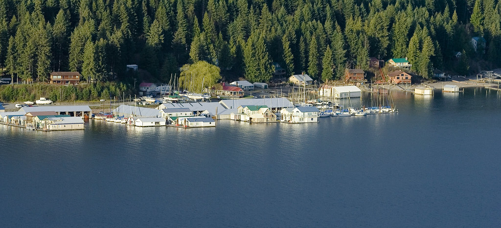
McDonald's Resort, Bayview, ID
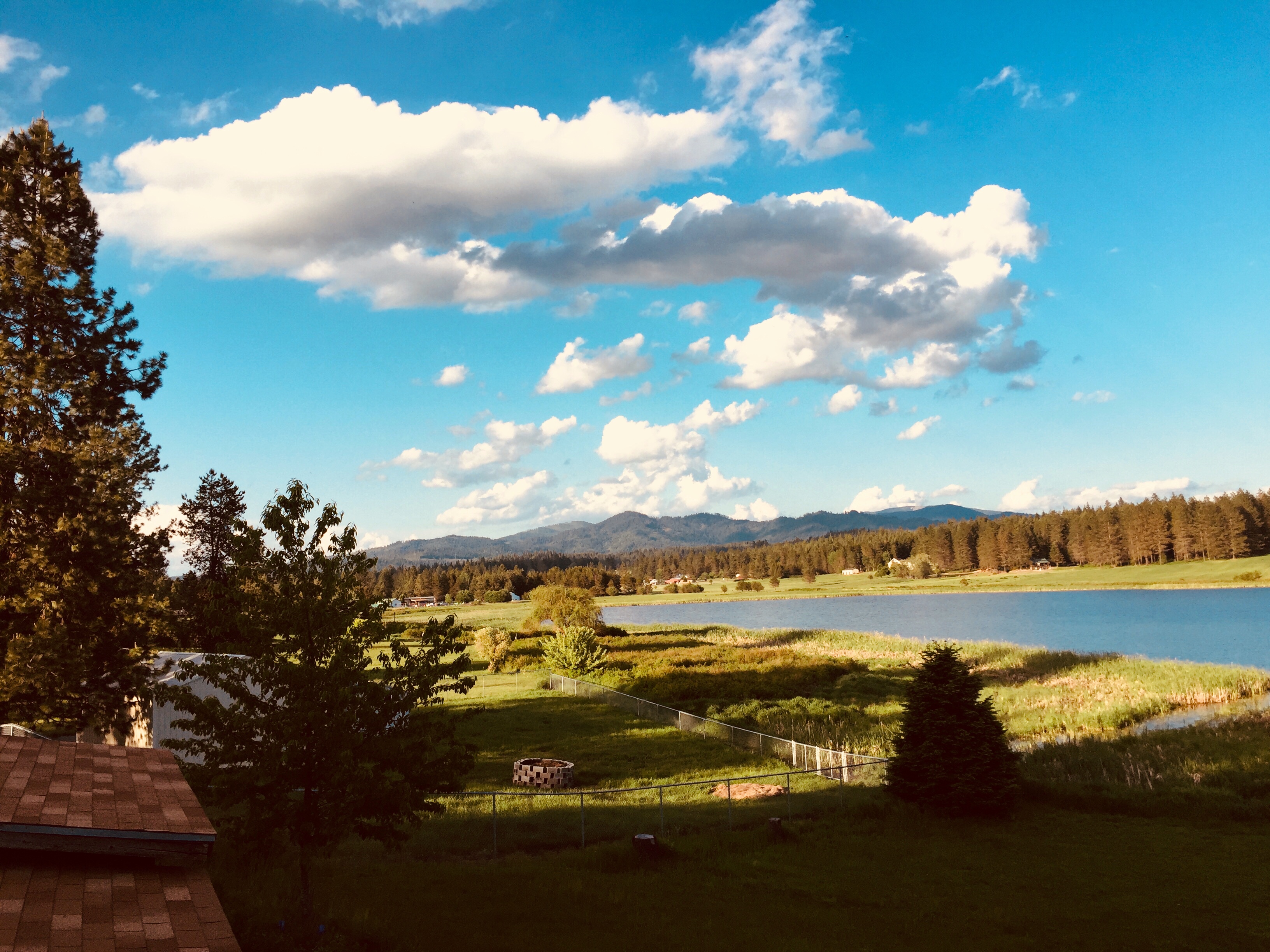
Great View!

Window View
20110806_170802_104885-X3

snow on trail on South Chilco Mountain
USSP07181999 - 13
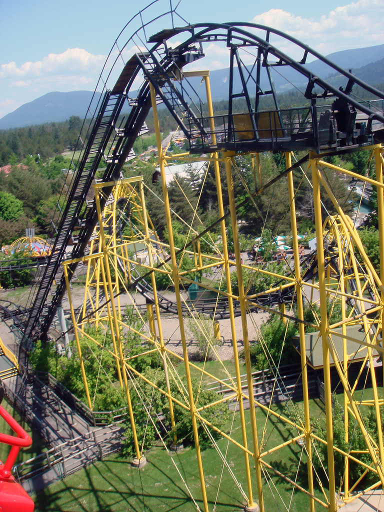
Silverwood 018
2014-09-05_01-23-20
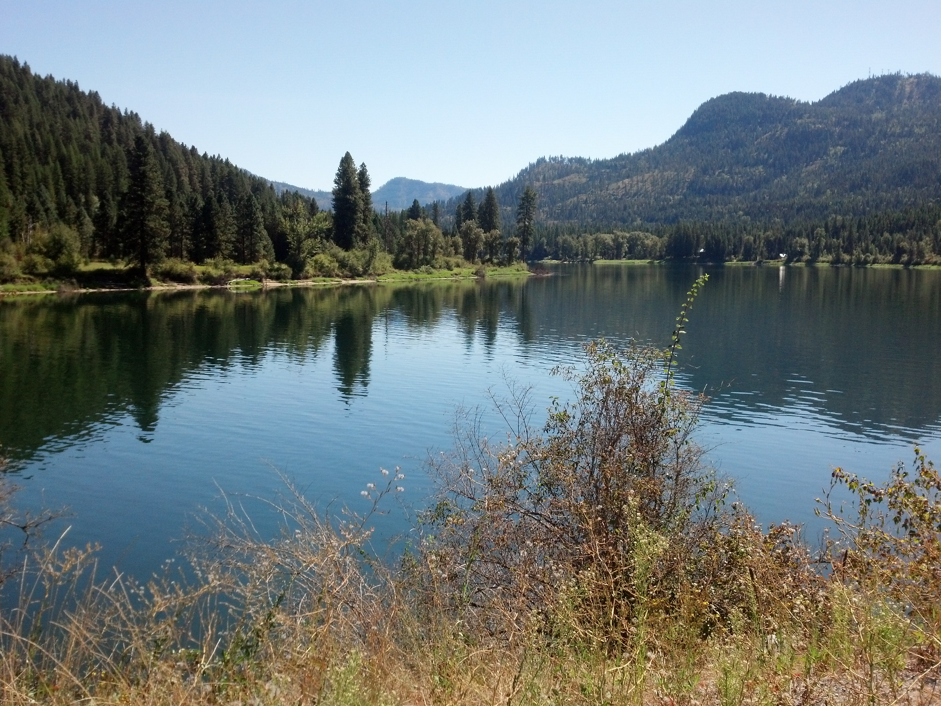
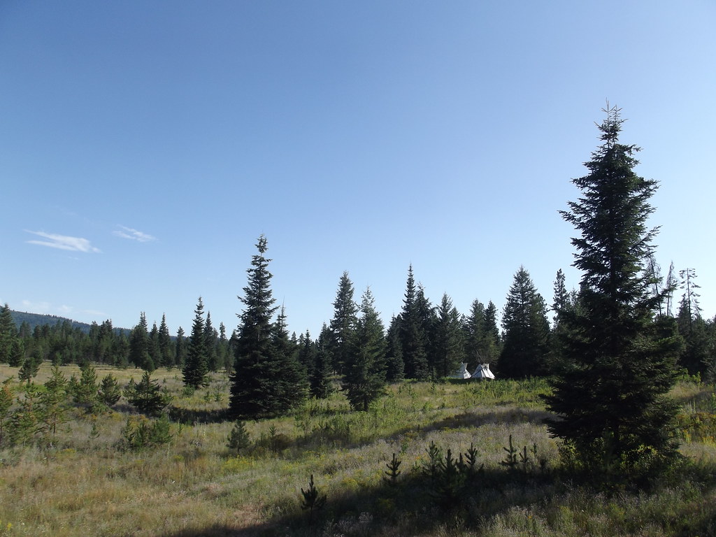
Alpine Lake, Hayden, Idaho.

Looking southwest towards Hayden Lake from South Chilco Mountain
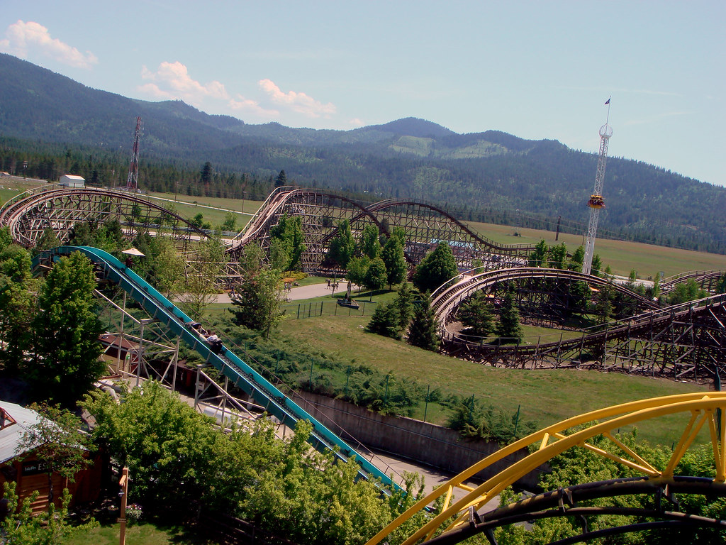
Silverwood Amusement Park

Old lookout site on South Chilco Mountain

Looking southwest towards Hayden Lake from South Chilco Mountain

Top of South Chilco, Idaho

Stream along Shoreline Trail, Farragut State Park, Idaho

Top junction, Chilco Mountain Trail, Idaho

Chilco Mountain, Chilco Mountain Trail, Idaho

Beargrass along Chilco Mountain Trail, Idaho

Huckleberries along Chilco Mountain Trail, Idaho

looking northeast towards Cabinets from Chilco Mountain Trail, Idaho

looking southwest from South Chilco Mountain, Idaho

South Chilco Mountain, Idaho

South Chilco Mountain, Idaho
Topographic Map of E Brunner Rd, Athol, ID, USA
Find elevation by address:

Places near E Brunner Rd, Athol, ID, USA:
US-95, Athol, ID, USA
3706 E Auburn Ct
2280 Pine Glen Ct
N Ramsey Rd, Rathdrum, ID, USA
E Garwood Rd, Hayden, ID, USA
28317 N Fall St
16515 N Rimrock Rd
West Caroline Drive
34878 N Kelso Dr
21133 N Camper Rd
North 12th Avenue
10th Avenue
N Lakeview Blvd, Rathdrum, ID, USA
32272 7th Ave
Spirit Lake
4882 Id-53
24044 N Bridge Lake Rd
25875 N Fjord Rd
4657 Christine St
Christine Street
Recent Searches:
- Elevation of Gateway Blvd SE, Canton, OH, USA
- Elevation of East W.T. Harris Boulevard, E W.T. Harris Blvd, Charlotte, NC, USA
- Elevation of West Sugar Creek, Charlotte, NC, USA
- Elevation of Wayland, NY, USA
- Elevation of Steadfast Ct, Daphne, AL, USA
- Elevation of Lagasgasan, X+CQH, Tiaong, Quezon, Philippines
- Elevation of Rojo Ct, Atascadero, CA, USA
- Elevation of Flagstaff Drive, Flagstaff Dr, North Carolina, USA
- Elevation of Avery Ln, Lakeland, FL, USA
- Elevation of Woolwine, VA, USA