Elevation of E 11th Rd, Streator, IL, USA
Location: United States > Illinois > Lasalle County > Osage Township > Garfield >
Longitude: -88.949452
Latitude: 41.0747939
Elevation: 200m / 656feet
Barometric Pressure: 99KPa
Elevation Map:
Satellite Map:
Related Photos:
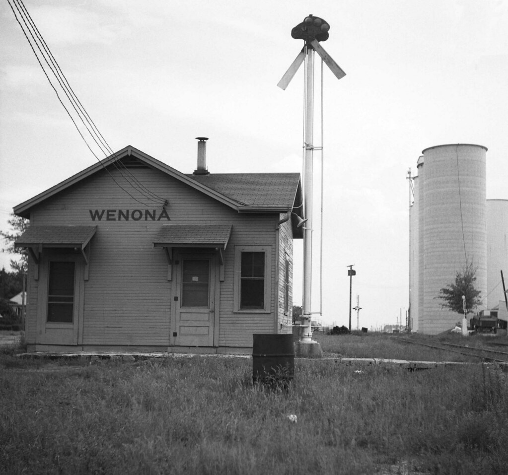
Illinois Central Depot, Wenona, Illinois
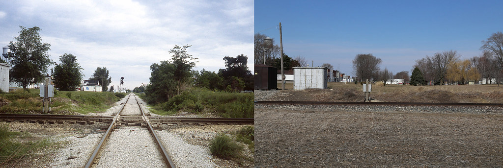
I.C./NYC crossing Lostant, Illinois

Sunset on the Santa Fe

Illinois Central Depot, Wenona, Illinois
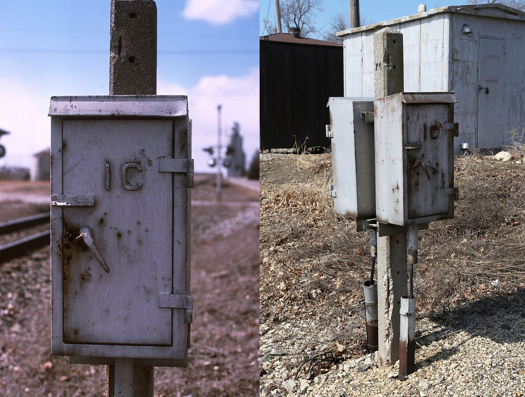
I.C./NYC Control Box, Lostant, Illinois
Splitting the signals at Ancona

Gulf, Mobile & Ohio Depot, Wenona, Illinois

Overlooking spring lake creek

Spring lake falls cose-up 1

Up in the clouds

Flying from MCI to Providence, Rhode Island

Route 66 - USA - 2014

Route 66 - USA - 2014

Flying from MCI to Providence, Rhode Island
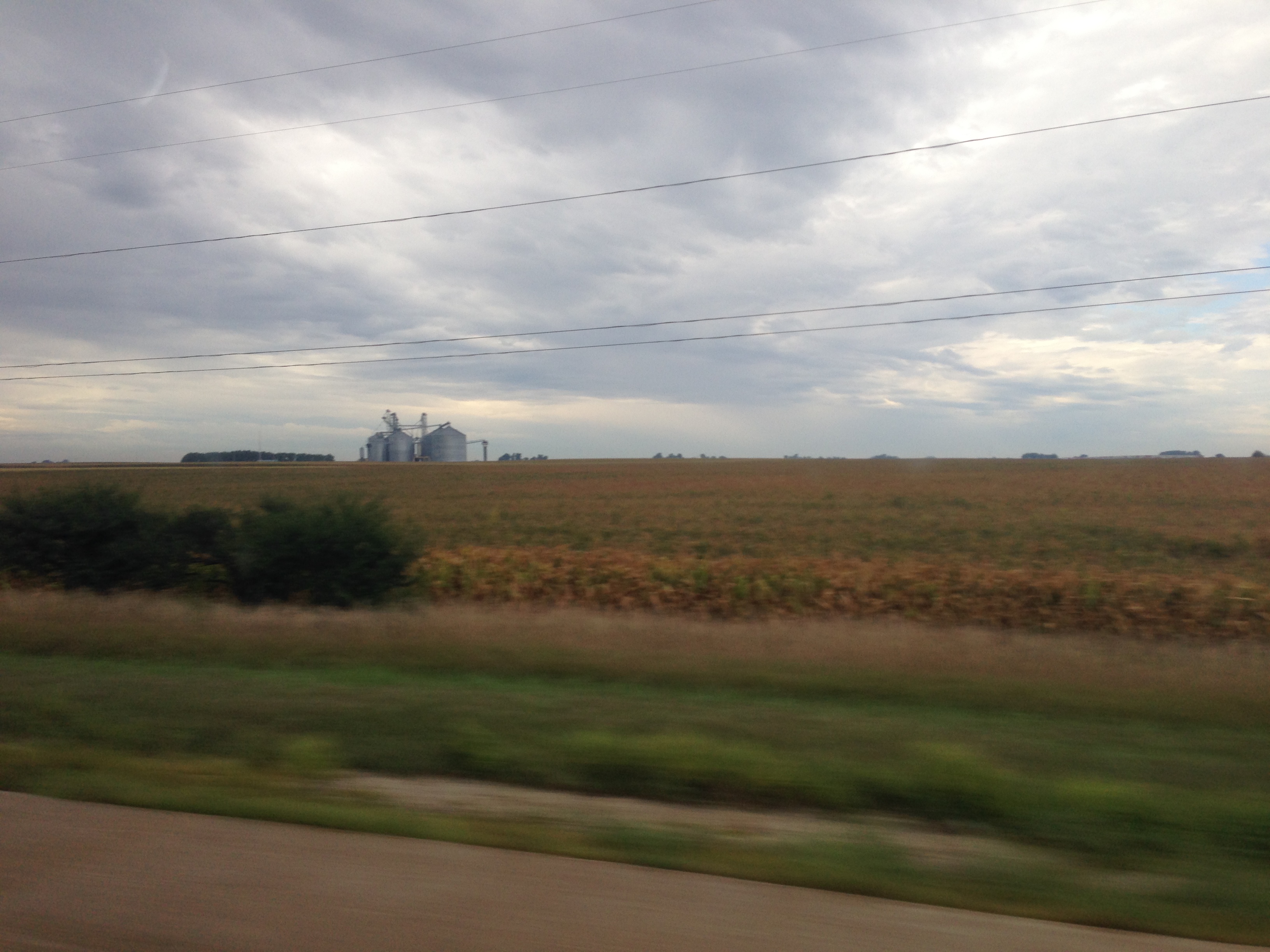
Route 66 - USA - 2014

Freshly painted

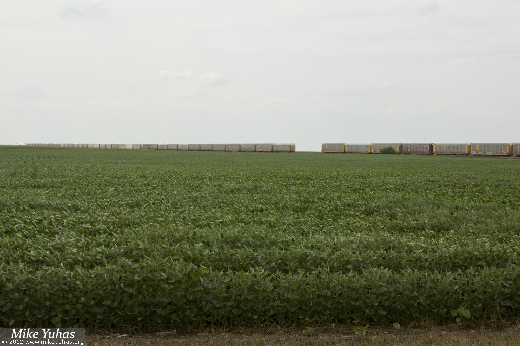
Across the soybean field

Sunday morning at Ancona

Going away...from 2 miles away

Midwest Wind

Old School
Uh-oh

Coming To An End
Topographic Map of E 11th Rd, Streator, IL, USA
Find elevation by address:

Places near E 11th Rd, Streator, IL, USA:
Garfield
Osage Township
Reading Township
Wenona
1408 S Jackson St
E Madison St, Dana, IL, USA
Streator
Bp
Lostant
Socu Owens Credit Union
IL-23, Streator, IL, USA
Tonica
Minonk
N st Rd, Oglesby, IL, USA
Bennington Township
N Main St, Toluca, IL, USA
Toluca
Amity Township
Deer Park Township
2850 County Rd 200 N
Recent Searches:
- Elevation of Blattner Rd, Philo, CA, USA
- Elevation of Polzela, Slovenia
- Elevation of Gorod Kislovodsk, Stavropol Krai, Russia
- Elevation of Kislovodsk, Stavropol Krai, Russia
- Elevation of Eagle Stone Drive, Eagle Stone Dr, The Preserve at Corkscrew, FL, USA
- Elevation of Formby Ct, Myrtle Beach, SC, USA
- Elevation of Hobbyhorse Ct, Dover, DE, USA
- Elevation of Horseshoe Ln, Dahlonega, GA, USA
- Elevation of Village Point Dr, Daphne, AL, USA
- Elevation map of Kabardino-Balkarian Republic, Russia