Elevation of County Rd N, Toluca, IL, USA
Location: United States > Illinois > Marshall County > Bennington Township >
Longitude: -89.143936
Latitude: 40.9560948
Elevation: 215m / 705feet
Barometric Pressure: 99KPa
Elevation Map:
Satellite Map:
Related Photos:
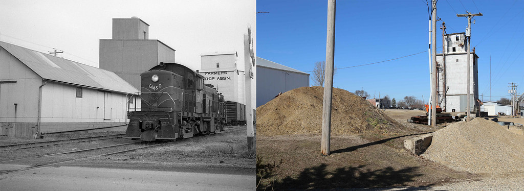
GM&O #50 La Rose, Illinois

Small Town, America

Santa Fe/Illinois Central Crossing, Minonk, Illinois
What Ya Need

Illinois Central Depot, Wenona, Illinois

Illinois Central/Santa Fe crossing, Minonk, Illinois

Gulf, Mobile & Ohio Depot, Wenona, Illinois
Jumbo Shot

Illinois Central Depot, Minonk, Illinois
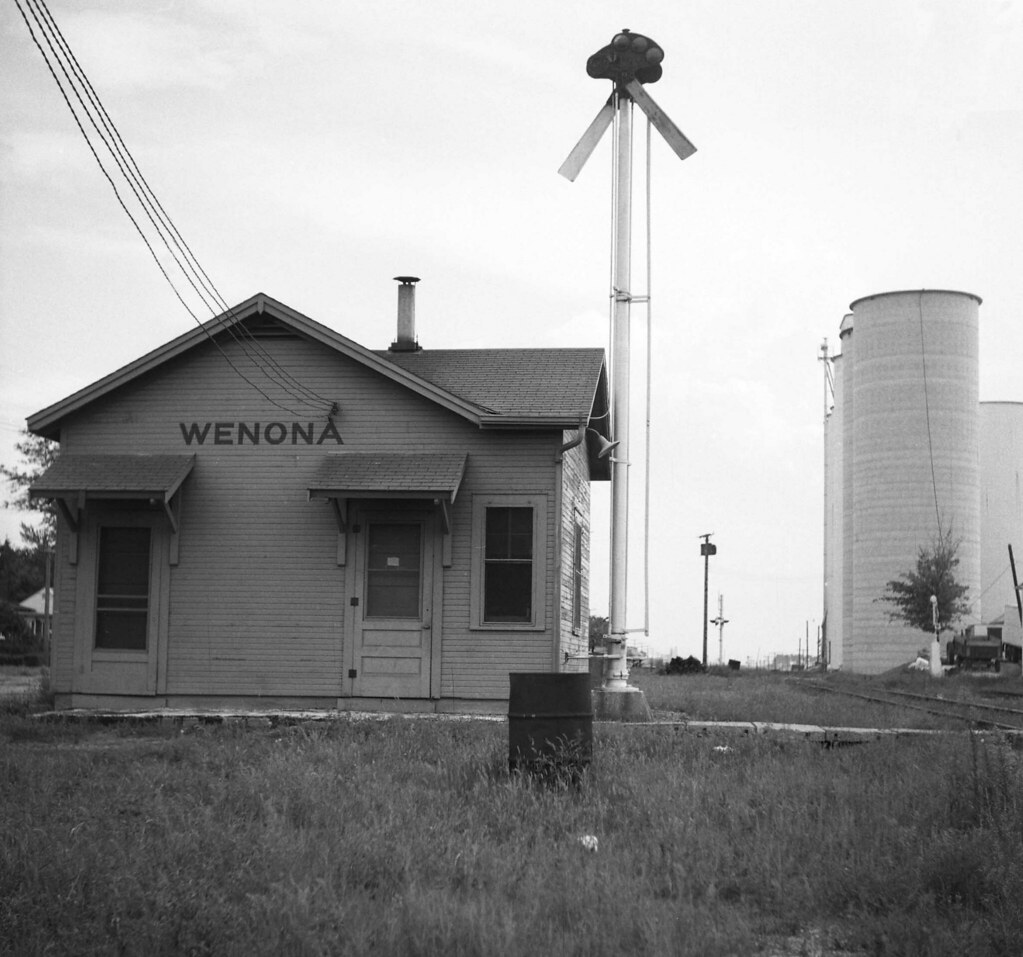
Illinois Central Depot, Wenona, Illinois

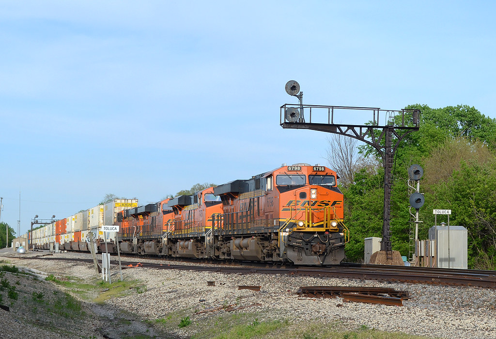
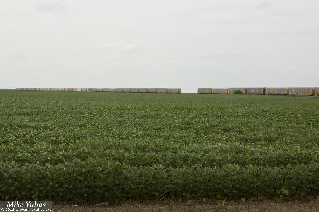
BNSF 7283 West at Toluca, IL

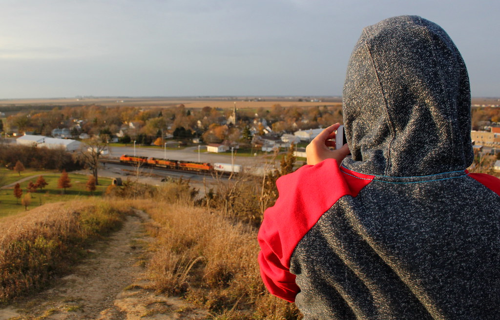
Hike Up Jumbo
BNSF QFTMNSA6 01

Hindert Bros Building, Minonk, IL

Current view

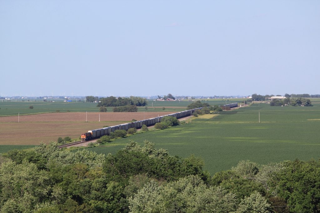
Roaring out of the Illinois River Valley

Freshly painted

Central Illinois
ATSF 546 West
Rain on Graves

The Vespa in HDR
hay!
Uh-oh
Cars and cars of cars

Termite Food

Coming To An End

Eating dinner atop the Jumbo!
Route 66 - USA - 2014

Trinity Lutheran Cemetery (La Rose)
Topographic Map of County Rd N, Toluca, IL, USA
Find elevation by address:

Places near County Rd N, Toluca, IL, USA:
Bennington Township
Toluca
N Main St, Toluca, IL, USA
La Rose
Main St, Varna, IL, USA
Varna
Minonk
Roberts Township
Benson, IL, USA
Wenona
196 N Jefferson St
N Jefferson St, Washburn, IL, USA
Washburn
Roanoke, IL, USA
Magnolia
N Main St, Roanoke, IL, USA
Roanoke
Osage Township
Wilbern Rd, Lacon, IL, USA
Low Point
Recent Searches:
- Elevation of Woodland Oak Pl, Thousand Oaks, CA, USA
- Elevation of Brownsdale Rd, Renfrew, PA, USA
- Elevation of Corcoran Ln, Suffolk, VA, USA
- Elevation of Mamala II, Sariaya, Quezon, Philippines
- Elevation of Sarangdanda, Nepal
- Elevation of 7 Waterfall Way, Tomball, TX, USA
- Elevation of SW 57th Ave, Portland, OR, USA
- Elevation of Crocker Dr, Vacaville, CA, USA
- Elevation of Pu Ngaol Community Meeting Hall, HWHM+3X7, Krong Saen Monourom, Cambodia
- Elevation of Royal Ontario Museum, Queens Park, Toronto, ON M5S 2C6, Canada