Elevation of Wilbern Rd, Lacon, IL, USA
Location: United States > Illinois > Marshall County > Richland Township >
Longitude: -89.326036
Latitude: 40.9489778
Elevation: 172m / 564feet
Barometric Pressure: 99KPa
Elevation Map:
Satellite Map:
Related Photos:
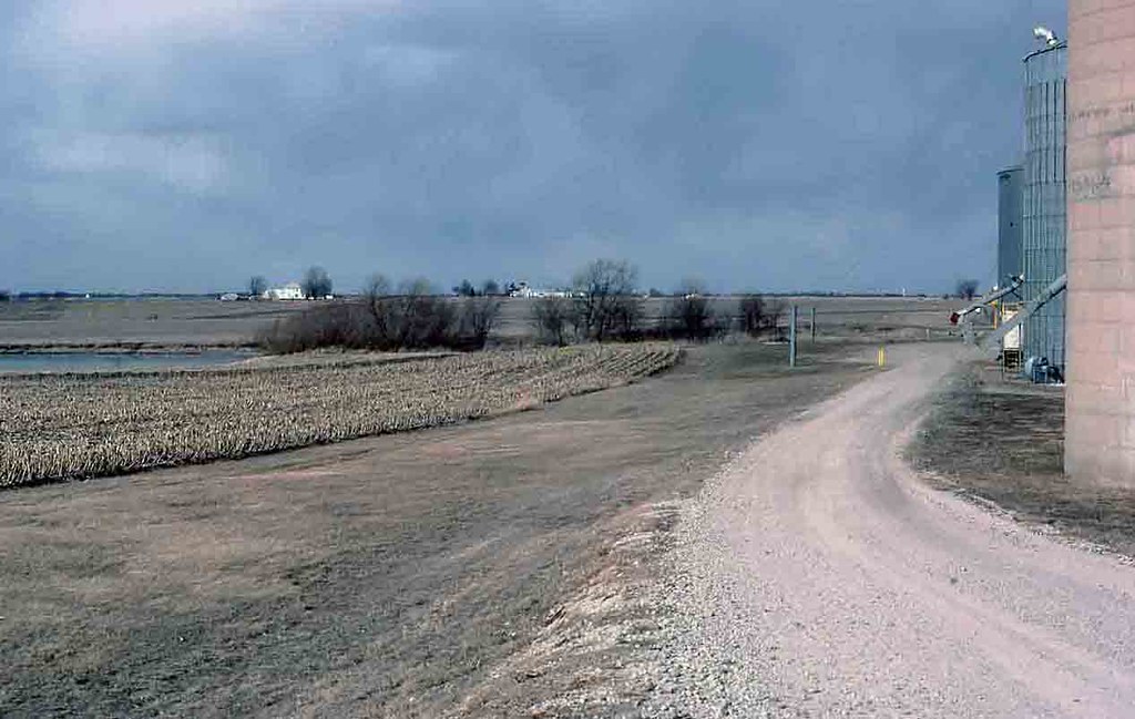
GM&O Dwight Branch 1996, Low Point, Illinois
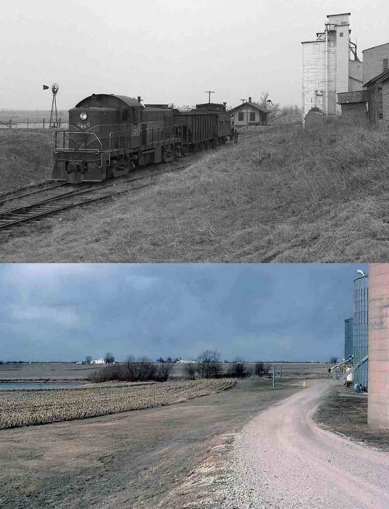
GM&O #50 Low Point, Illinois
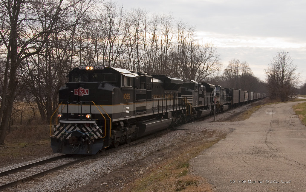
NS 1065 Marshall

Illinois River (HDR)

Illinois River (HDR)
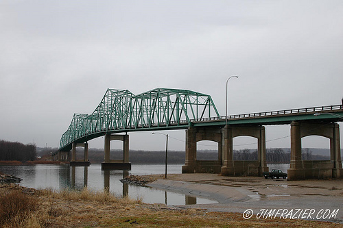
Lacon Bridge

"A True Throwback Thursday"

hay!
Termite Food
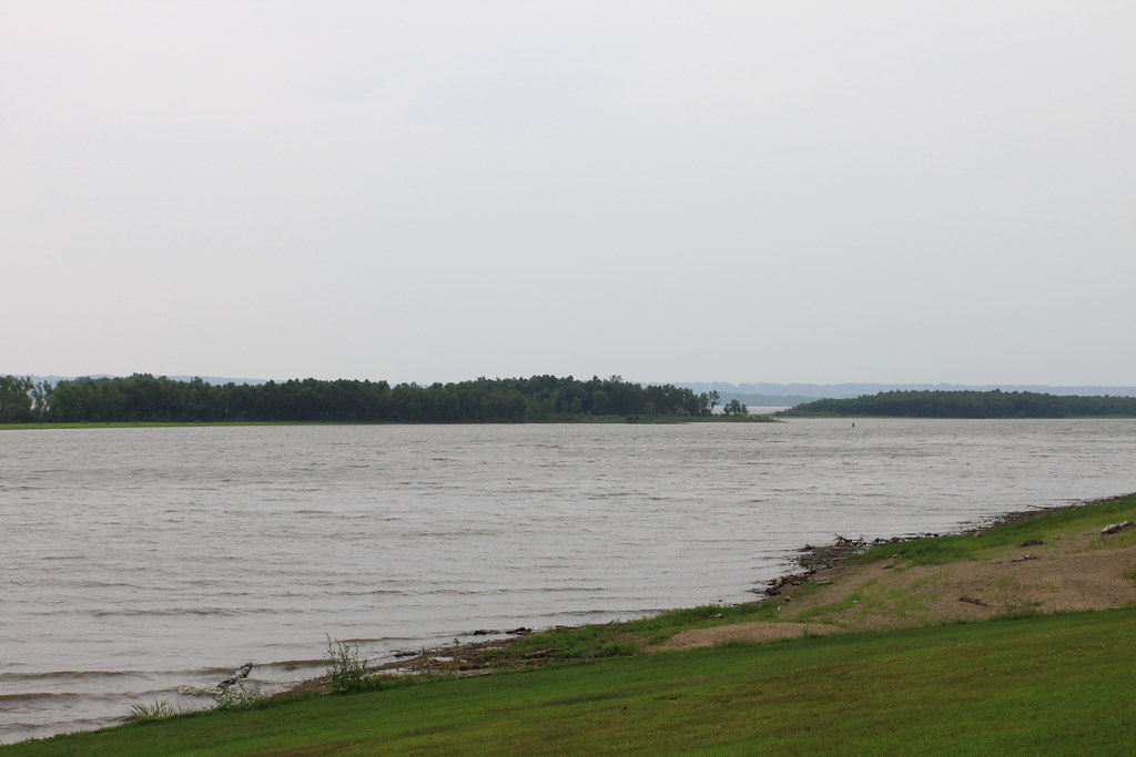
Illinois River

IVC Grey Ghost 10192013
Illinois River and Hamm’s Holiday Harbor, Chillicothe

Sunset on Camp
Trinity Lutheran Cemetery (La Rose)

Looking Skyward 04032012
Illinois River
Topographic Map of Wilbern Rd, Lacon, IL, USA
Find elevation by address:

Places near Wilbern Rd, Lacon, IL, USA:
Cazenovia Township
1948 Il-89
Low Point
State St, Low Point, IL, USA
1642 Coal Bank Rd
1641 Coal Bank Rd
777 Partridge Point Rd
1495 County Rd 1050 E
1049 Hay Meadows Lane
1506 Noel Dr
1505 Noel Dr
1502 Noel Dr
1131 Stonelake Court
815 E Chatham St
1301 Johanna Dr
1009 Belsly Way
901 Belsly Way
839 Belsly Way
300 N Menard St
815 Coal Bank Rd
Recent Searches:
- Elevation of Corso Fratelli Cairoli, 35, Macerata MC, Italy
- Elevation of Tallevast Rd, Sarasota, FL, USA
- Elevation of 4th St E, Sonoma, CA, USA
- Elevation of Black Hollow Rd, Pennsdale, PA, USA
- Elevation of Oakland Ave, Williamsport, PA, USA
- Elevation of Pedrógão Grande, Portugal
- Elevation of Klee Dr, Martinsburg, WV, USA
- Elevation of Via Roma, Pieranica CR, Italy
- Elevation of Tavkvetili Mountain, Georgia
- Elevation of Hartfords Bluff Cir, Mt Pleasant, SC, USA