Elevation of Dundalk, ON N0C, Canada
Location: Canada > Ontario > Grey County > Southgate >
Longitude: -80.393568
Latitude: 44.167665
Elevation: 519m / 1703feet
Barometric Pressure: 95KPa
Elevation Map:
Satellite Map:
Related Photos:
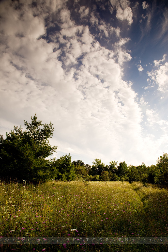
Flesherton Hills Trail
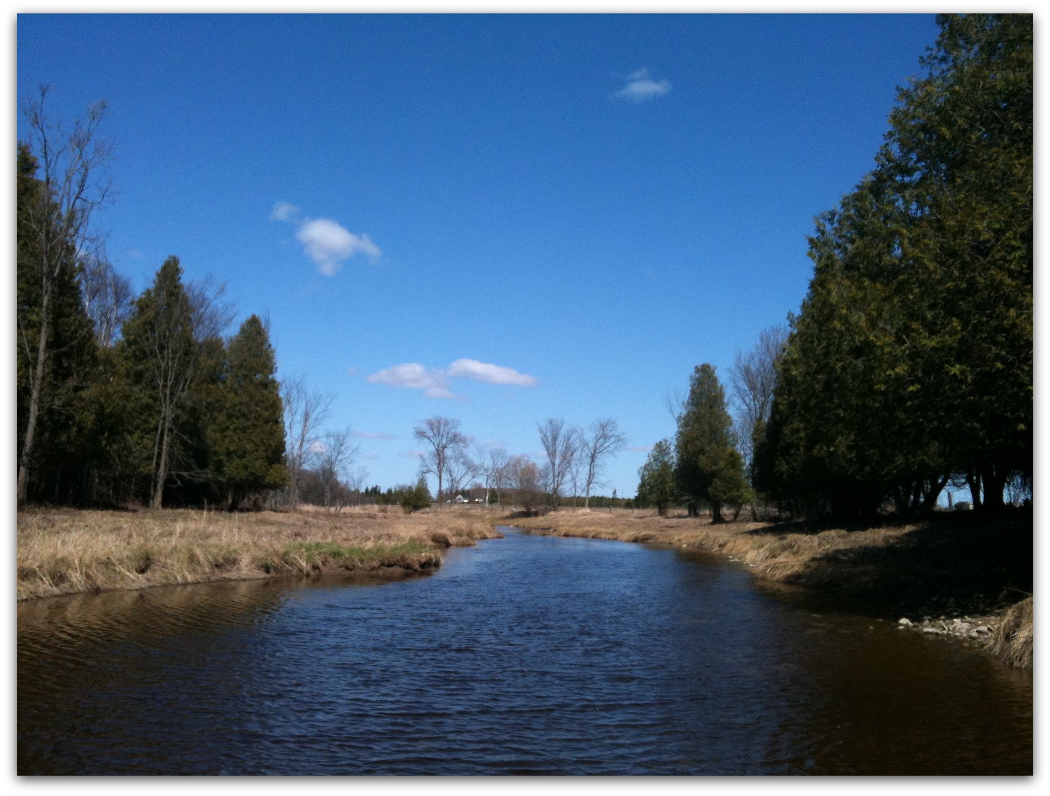
Standing in the Middle of the Grand
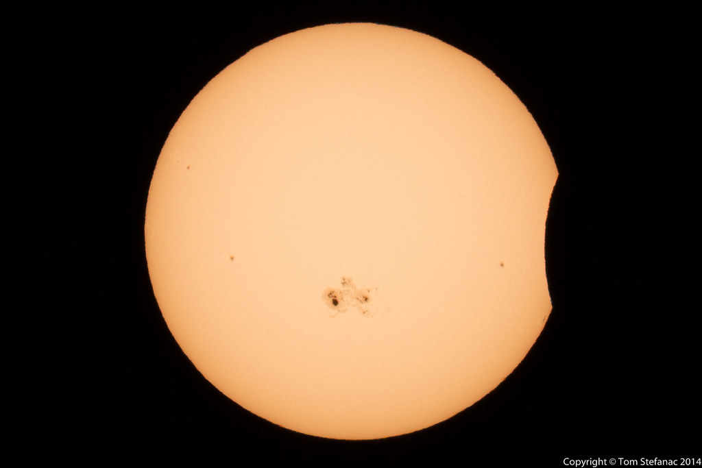
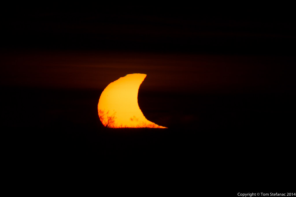
Solar Eclipse - 5:41PM
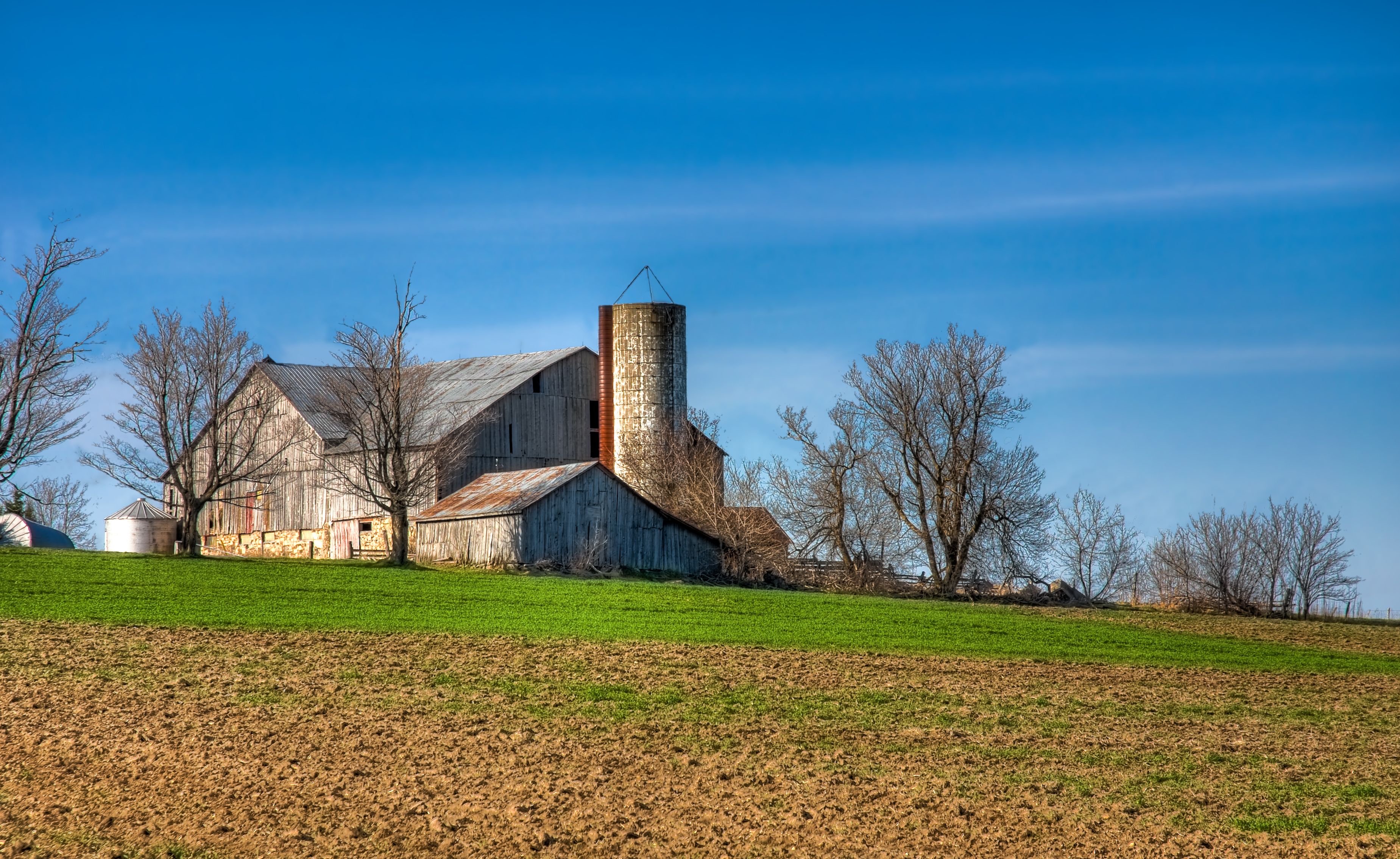
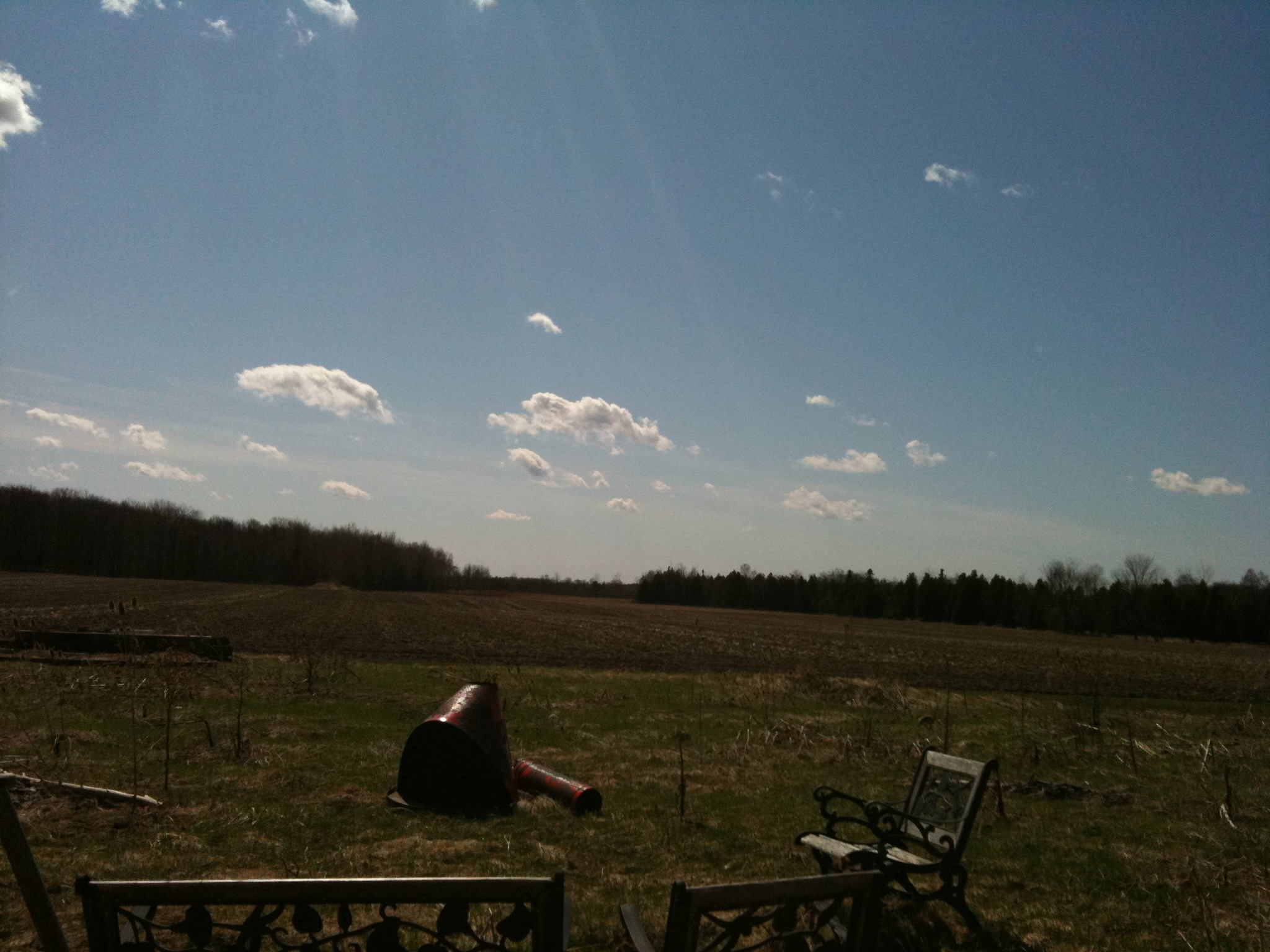
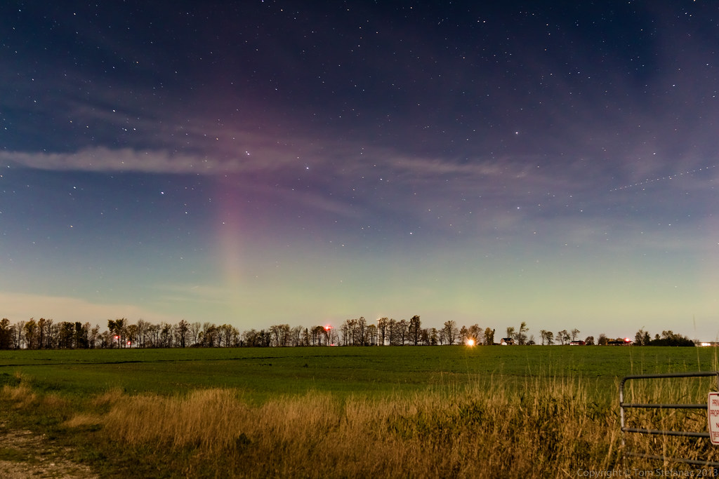
Farm On A Hill

Green Webs
Solar Eclipse - 6:20PM
View From the Shop Window

Eugenia Falls

The Falls in Fall
Bokeh Day
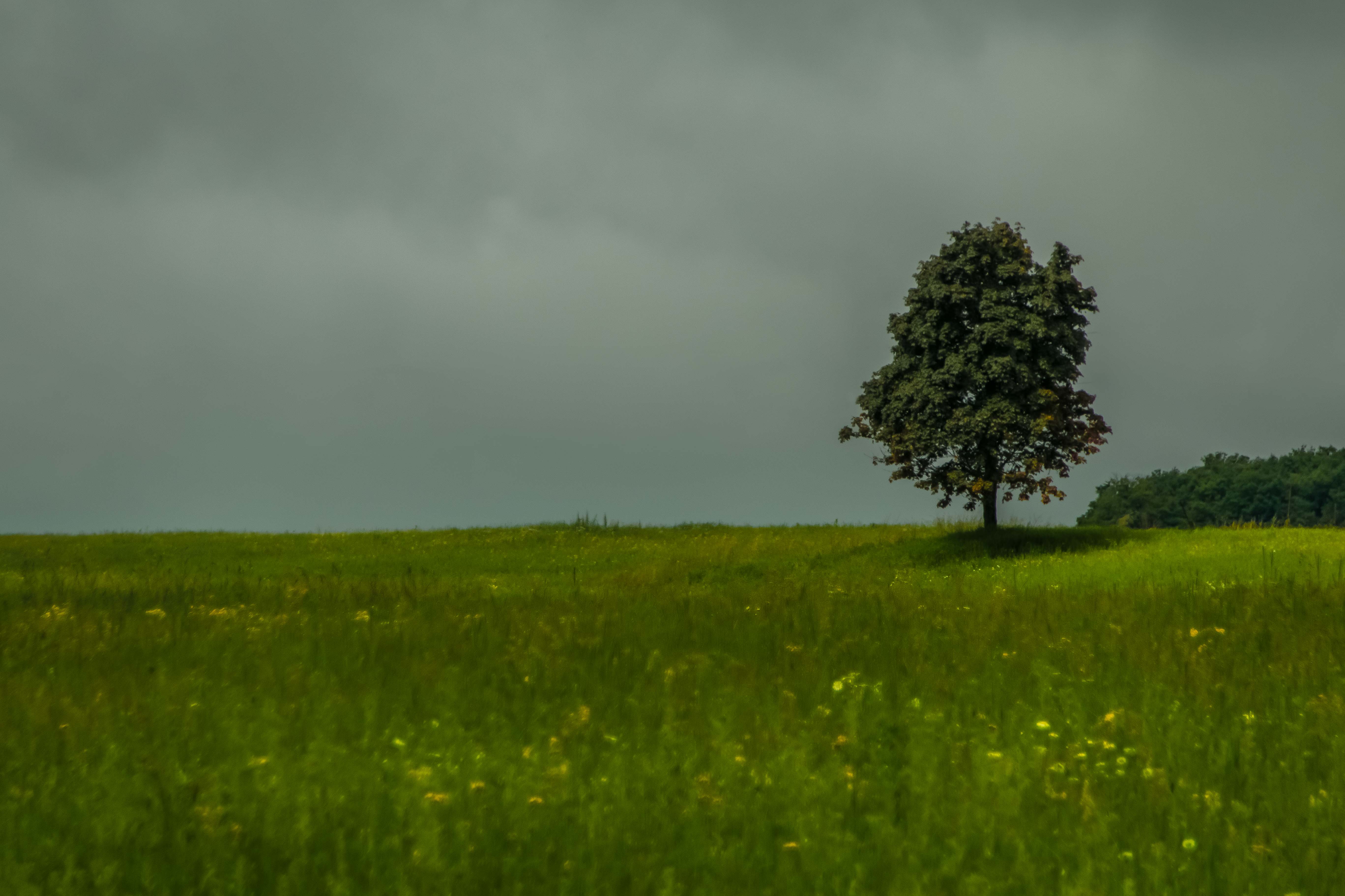
Tree on the Hill
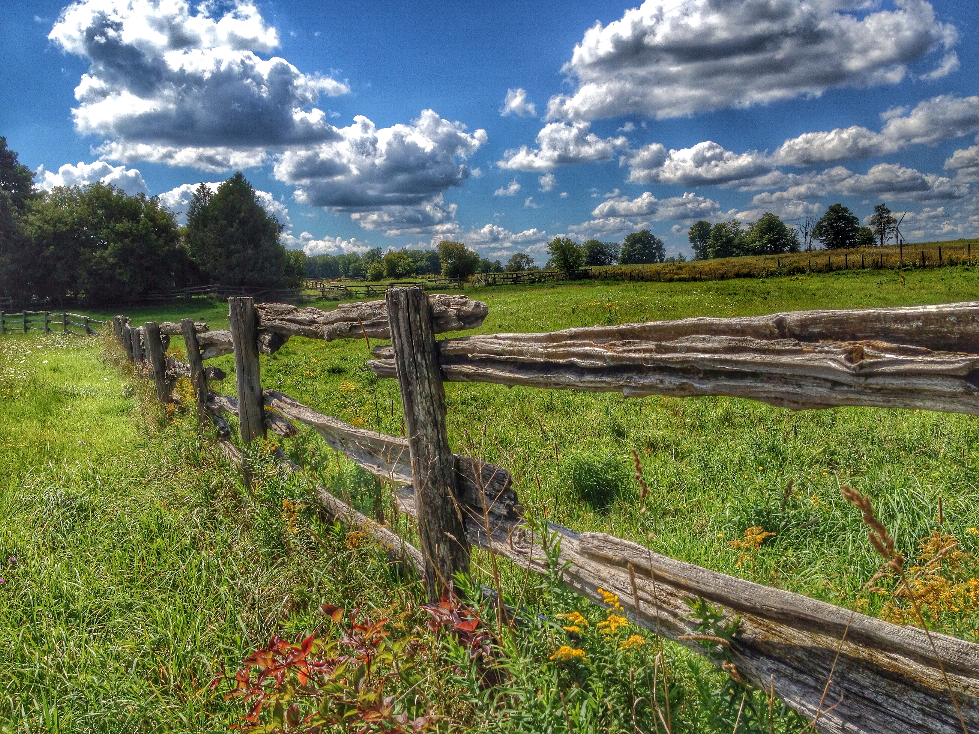
Rural Fence
Old and new
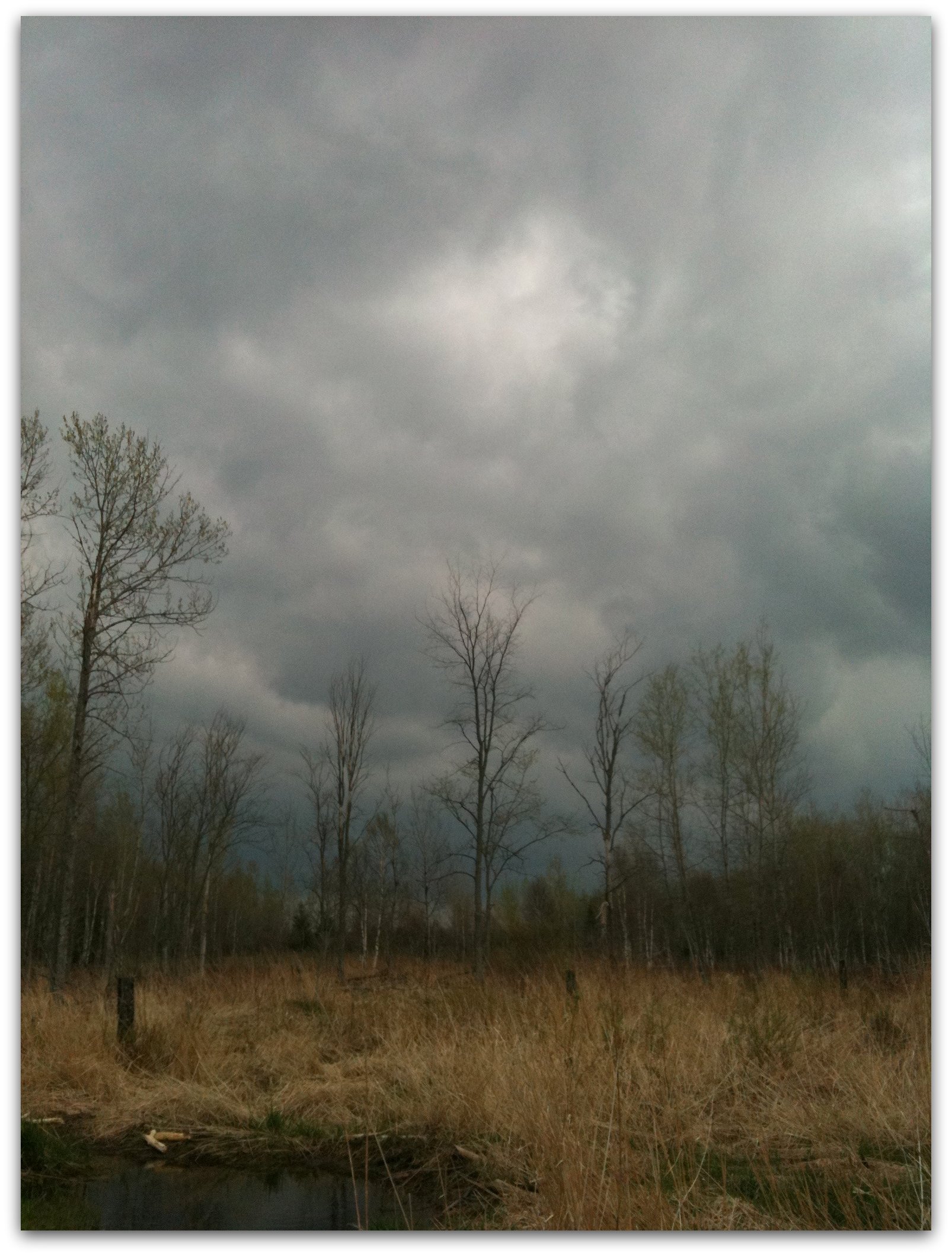
Beaver Pond

Chasing waterfalls across grey highlands
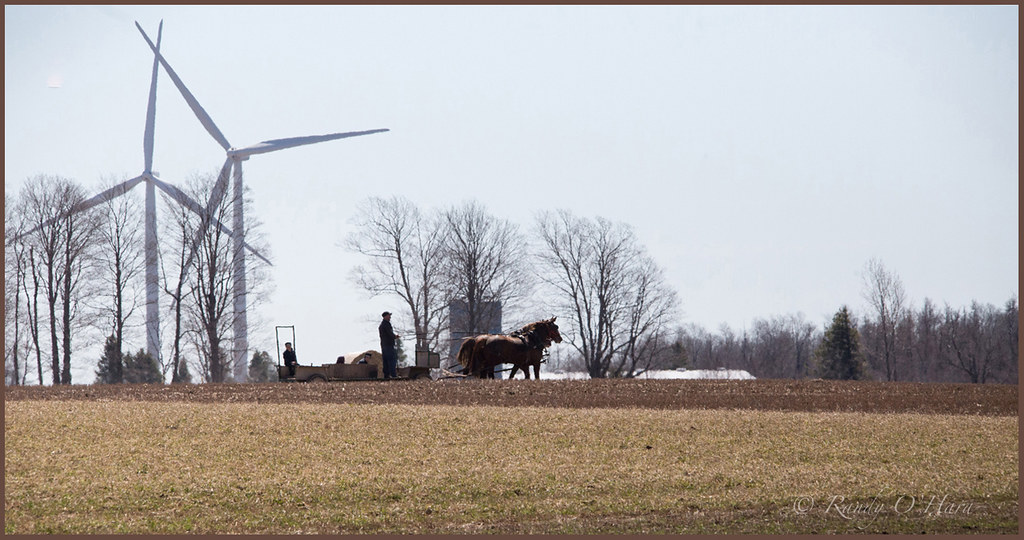
Horse Drawn

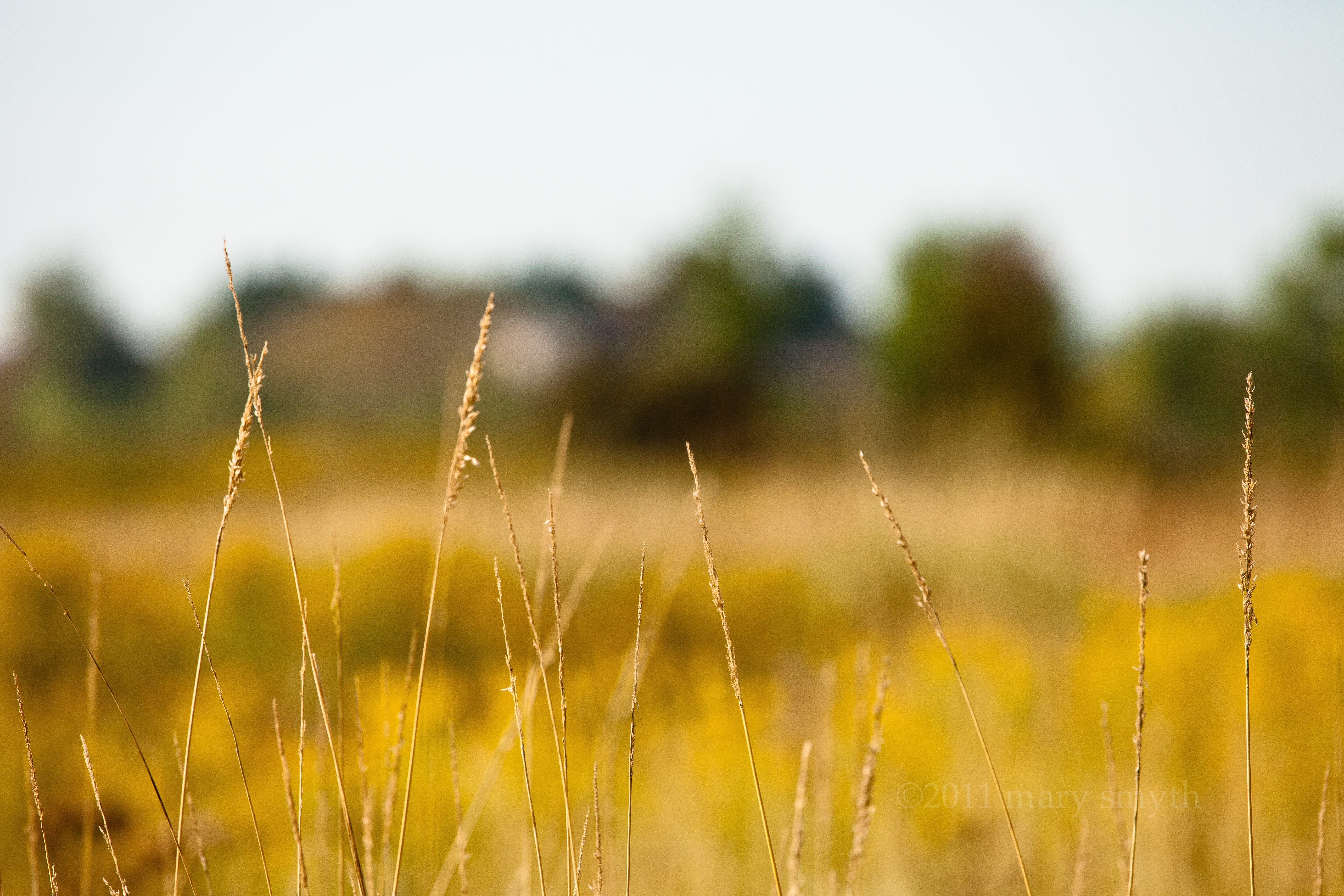
Canola Field
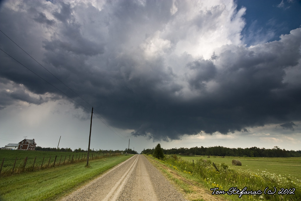
Driving around with Christina. July 10th 2013.
Drive ...
Crooked house

Driving around with Christina. July 10th 2013.

Yellow Farm
Somewhere out there
20131014-IMG_9220.jpg
Structure Growing

Sunset on the Farm
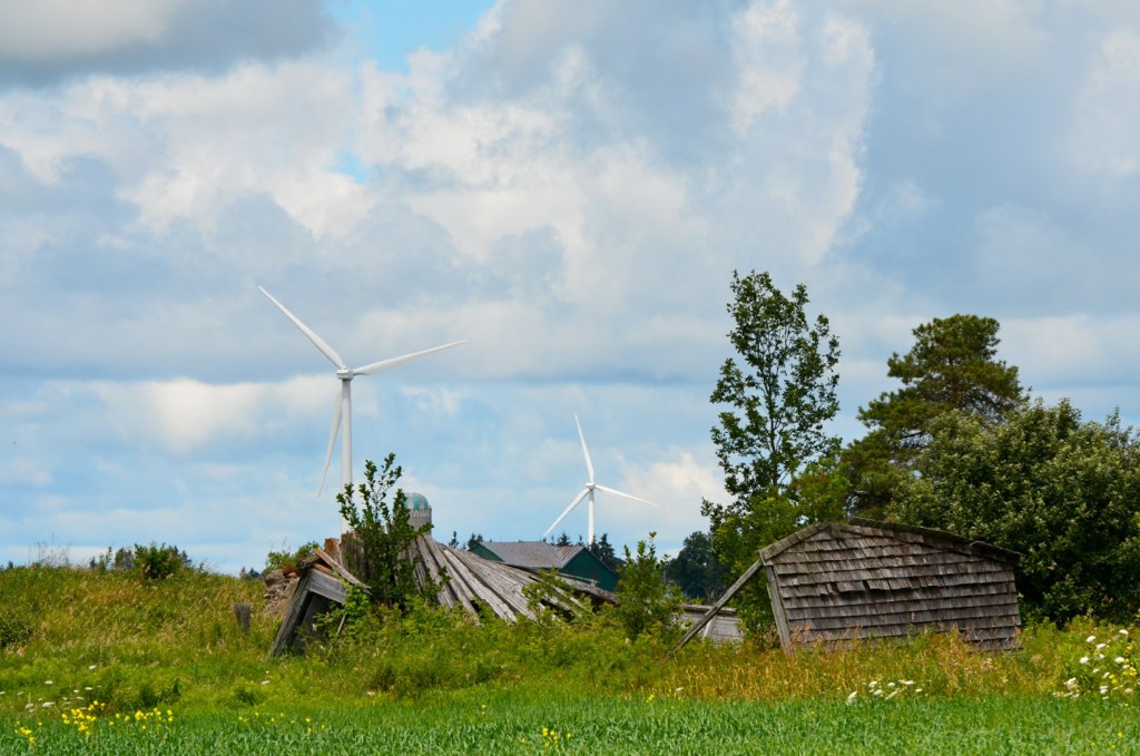
Fresh Development
Topographic Map of Dundalk, ON N0C, Canada
Find elevation by address:

Places near Dundalk, ON N0C, Canada:
525 County Rd 9
245262 Southgate Road 24
Osprey Wetland Conservation Lands
186220 Grey Rd 9
186220 Grey Rd 9
320520 170 Rd
South Line
Maple Grove Village
Badjeros
554029 Rd 55
Hopeville
Feversham
325719 Durham Rd B
Osprey Wetlands
Flesherton
Eugenia
Eugenia Lake
110 Penny Ln
Raglan Street
149 Lakeshore Blvd
Recent Searches:
- Elevation of Corso Fratelli Cairoli, 35, Macerata MC, Italy
- Elevation of Tallevast Rd, Sarasota, FL, USA
- Elevation of 4th St E, Sonoma, CA, USA
- Elevation of Black Hollow Rd, Pennsdale, PA, USA
- Elevation of Oakland Ave, Williamsport, PA, USA
- Elevation of Pedrógão Grande, Portugal
- Elevation of Klee Dr, Martinsburg, WV, USA
- Elevation of Via Roma, Pieranica CR, Italy
- Elevation of Tavkvetili Mountain, Georgia
- Elevation of Hartfords Bluff Cir, Mt Pleasant, SC, USA