Elevation of Dubreuilville, ON P0S, Canada
Location: Canada > Ontario > Algoma District > Dubreuilville >
Longitude: -84.550824
Latitude: 48.348505
Elevation: 336m / 1102feet
Barometric Pressure: 97KPa
Elevation Map:
Satellite Map:
Related Photos:

CP Freight Train near Franz
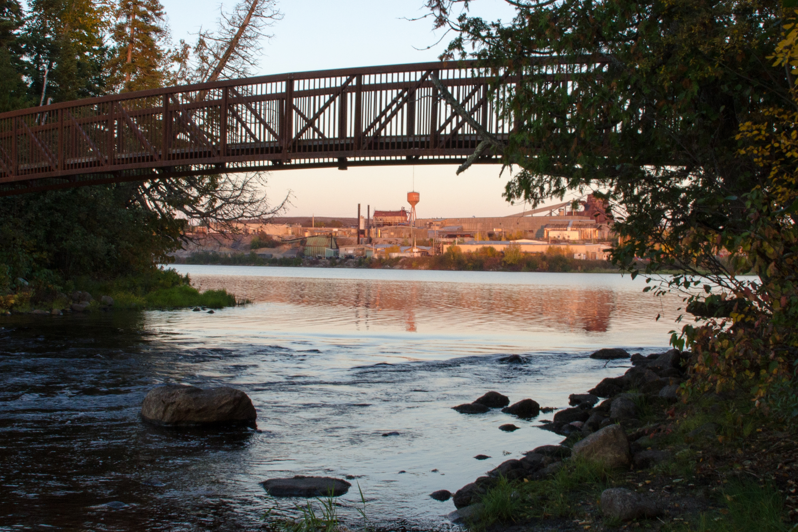
Bridge Over Mill

Stars in Duberville

VIA Budds near Franz
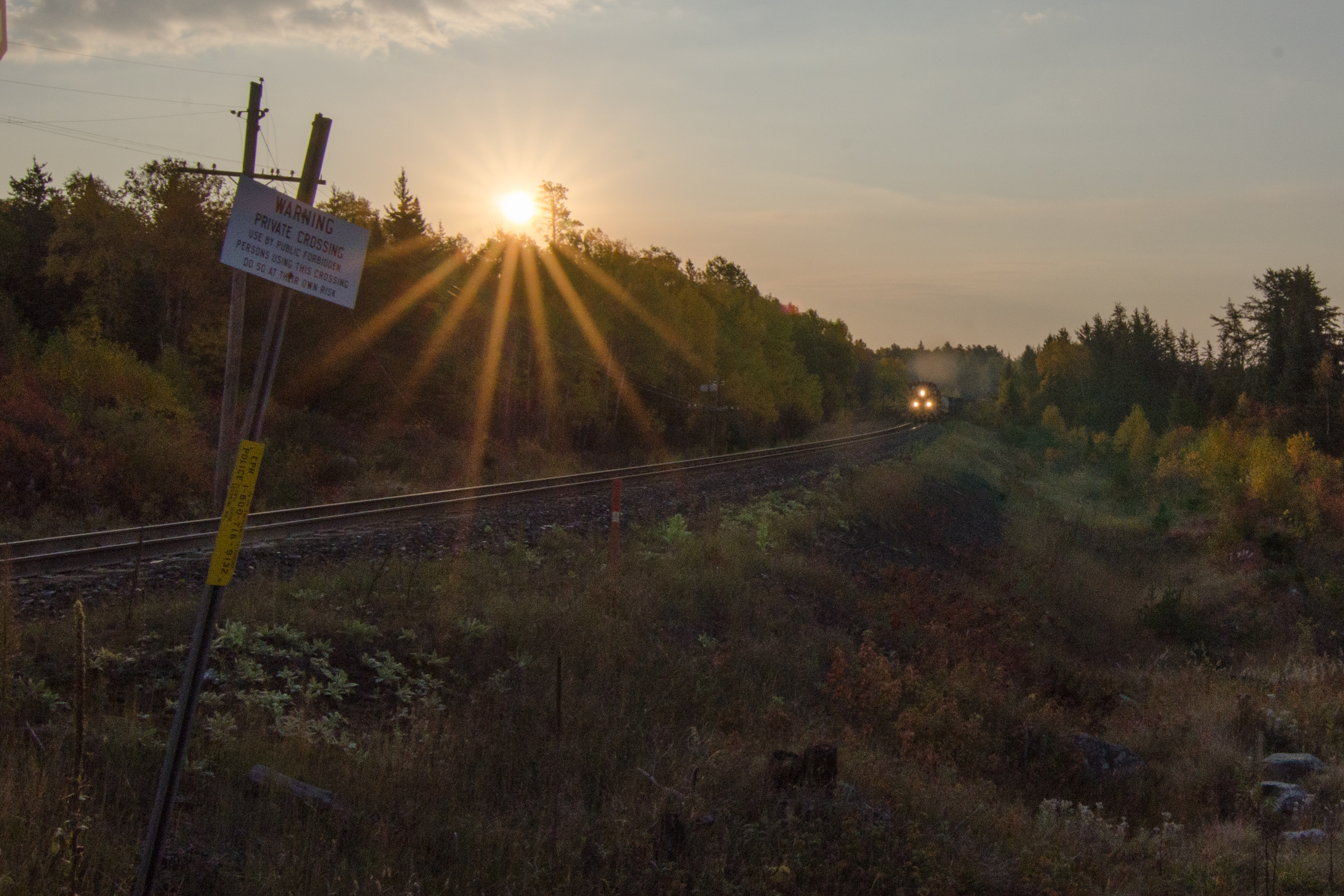
CP Freight Train near Franz

Blue LightSaber in the Sky
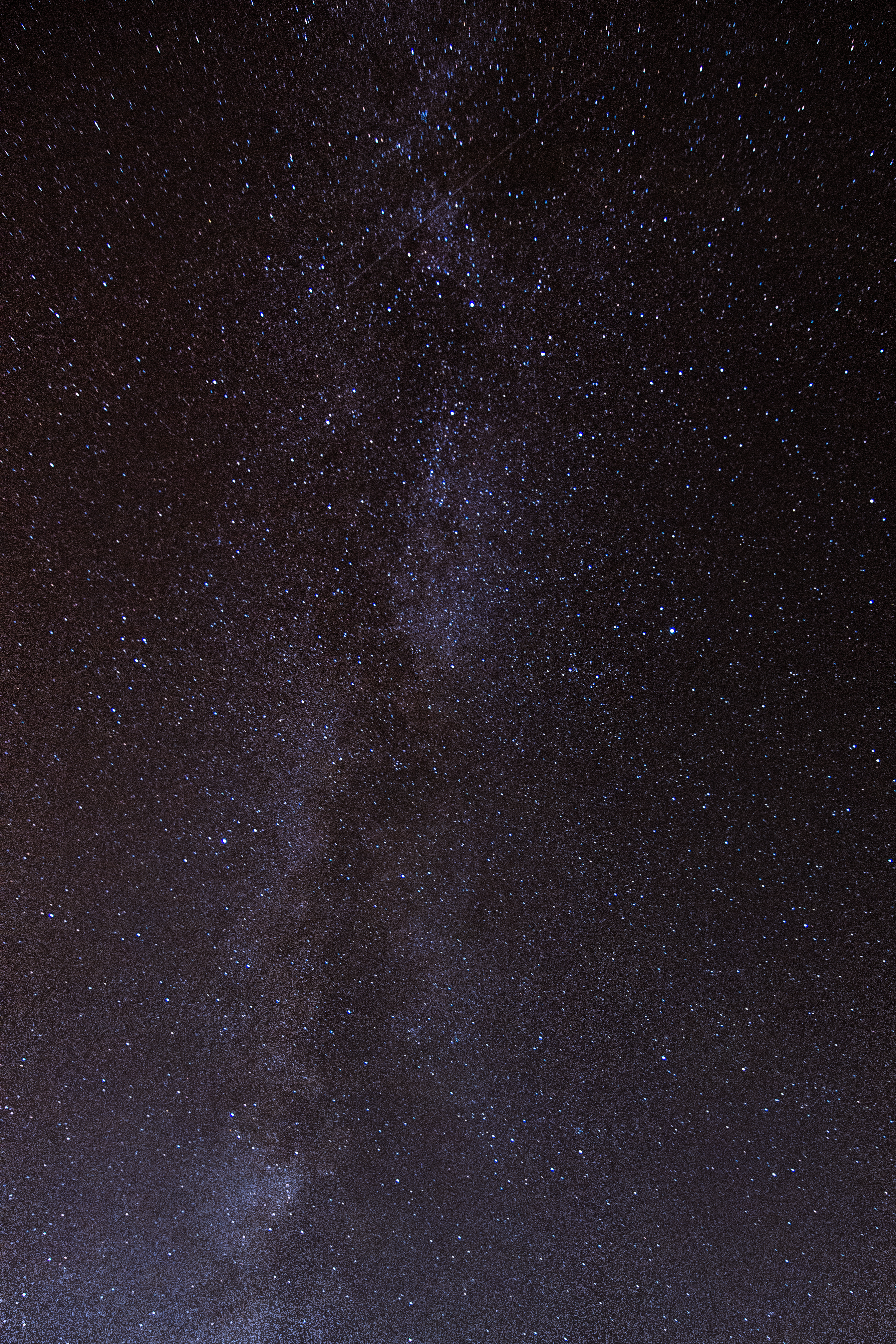
Milky Way
Topographic Map of Dubreuilville, ON P0S, Canada
Find elevation by address:

Places in Dubreuilville, ON P0S, Canada:
Places near Dubreuilville, ON P0S, Canada:
Des Sapins Ave, Dubreuilville, ON P0S 1B0, Canada
Dubreuilville
Wawa
Wawa
Mission Road
Best Northern Motel And Restaurant
White River
White River
Hornepayne
86 Third Ave
Third Ave, Hornepayne, ON P0M, Canada
86 Third St
White Lake Provincial Park Campground
Recent Searches:
- Elevation of Corso Fratelli Cairoli, 35, Macerata MC, Italy
- Elevation of Tallevast Rd, Sarasota, FL, USA
- Elevation of 4th St E, Sonoma, CA, USA
- Elevation of Black Hollow Rd, Pennsdale, PA, USA
- Elevation of Oakland Ave, Williamsport, PA, USA
- Elevation of Pedrógão Grande, Portugal
- Elevation of Klee Dr, Martinsburg, WV, USA
- Elevation of Via Roma, Pieranica CR, Italy
- Elevation of Tavkvetili Mountain, Georgia
- Elevation of Hartfords Bluff Cir, Mt Pleasant, SC, USA