Elevation of Doyle Township, MI, USA
Location: United States > Michigan > Schoolcraft County >
Longitude: -86.047901
Latitude: 46.1792941
Elevation: 206m / 676feet
Barometric Pressure: 99KPa
Elevation Map:
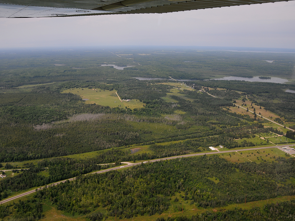
Satellite Map:
Related Photos:

Island View

Colorful Ferns

Seney Pond Scene

Autumn Scene at Seney

Mandelbrot sunset

Seney Wildlife Refuge 03

Seney NWR 2012
Blaney Park, Michigan 29 jl 2008 DSC_0289f

Smith Lake

Deer in the woods - Seney State Prk. UP Mich.

Trumpeter swan

Road to nowhere.

Veteran Visitor
Topographic Map of Doyle Township, MI, USA
Find elevation by address:

Places in Doyle Township, MI, USA:
Places near Doyle Township, MI, USA:
1220w
Schoolcraft County
Gulliver
Mueller Township
County Road 432
Seney
Manistique
State Road
Sunset Beach
Inwood Township
Cooks
28 M-28, Munising, MI, USA
Doe Lake Road
9427 M-28
6715 00.25 Rd
6715 00.25 Rd
Garden
Valley Spur
Au Train Township
Ensign Township
Recent Searches:
- Elevation of Elwyn Dr, Roanoke Rapids, NC, USA
- Elevation of Congressional Dr, Stevensville, MD, USA
- Elevation of Bellview Rd, McLean, VA, USA
- Elevation of Stage Island Rd, Chatham, MA, USA
- Elevation of Shibuya Scramble Crossing, 21 Udagawacho, Shibuya City, Tokyo -, Japan
- Elevation of Jadagoniai, Kaunas District Municipality, Lithuania
- Elevation of Pagonija rock, Kranto 7-oji g. 8"N, Kaunas, Lithuania
- Elevation of Co Rd 87, Jamestown, CO, USA
- Elevation of Tenjo, Cundinamarca, Colombia
- Elevation of Côte-des-Neiges, Montreal, QC H4A 3J6, Canada