Elevation map of Schoolcraft County, MI, USA
Location: United States > Michigan >
Longitude: -86.190362
Latitude: 46.0693515
Elevation: 215m / 705feet
Barometric Pressure: 99KPa
Elevation Map:
Satellite Map:
Related Photos:
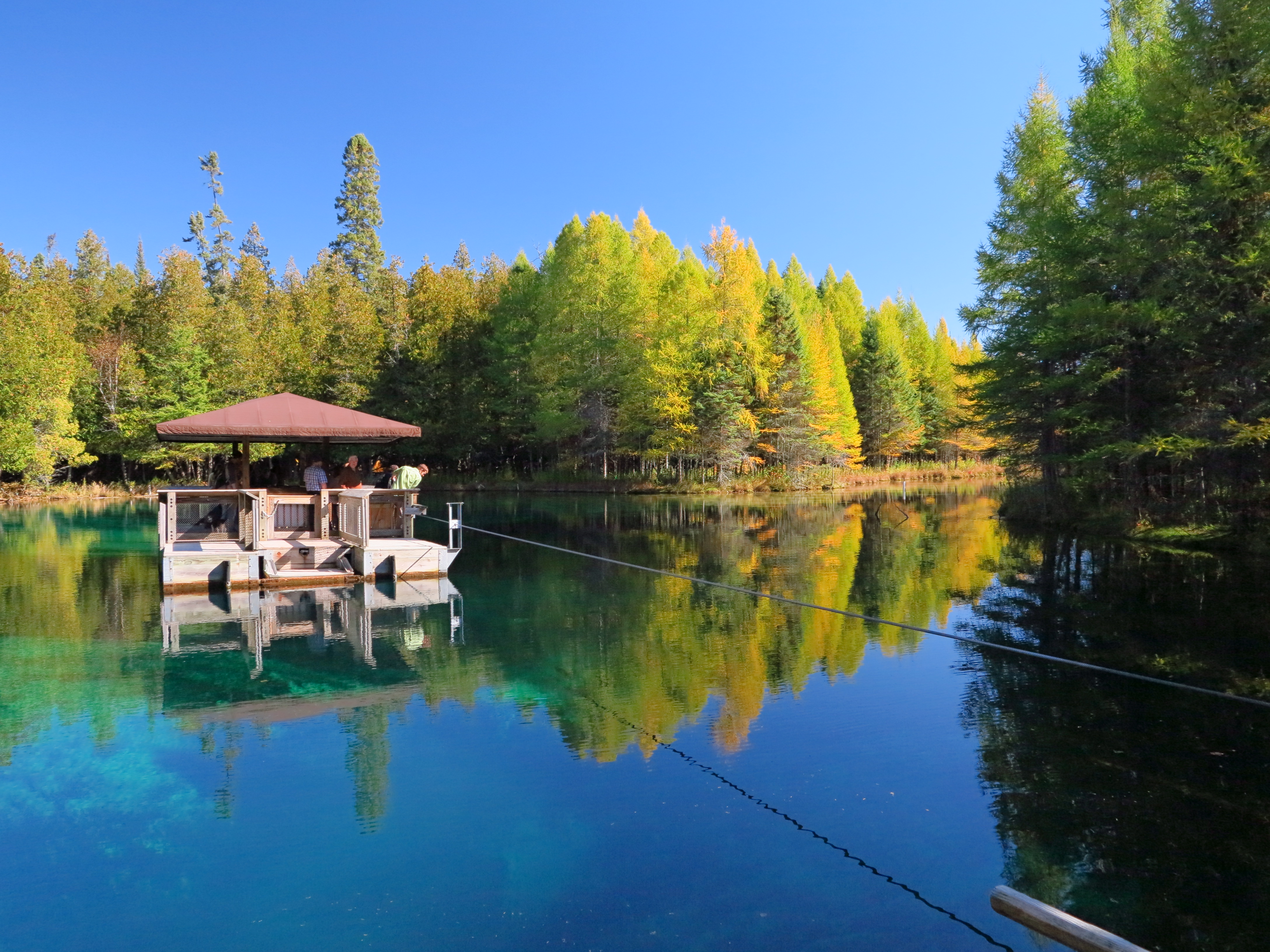
IMG_3236 Raft at The Big Spring
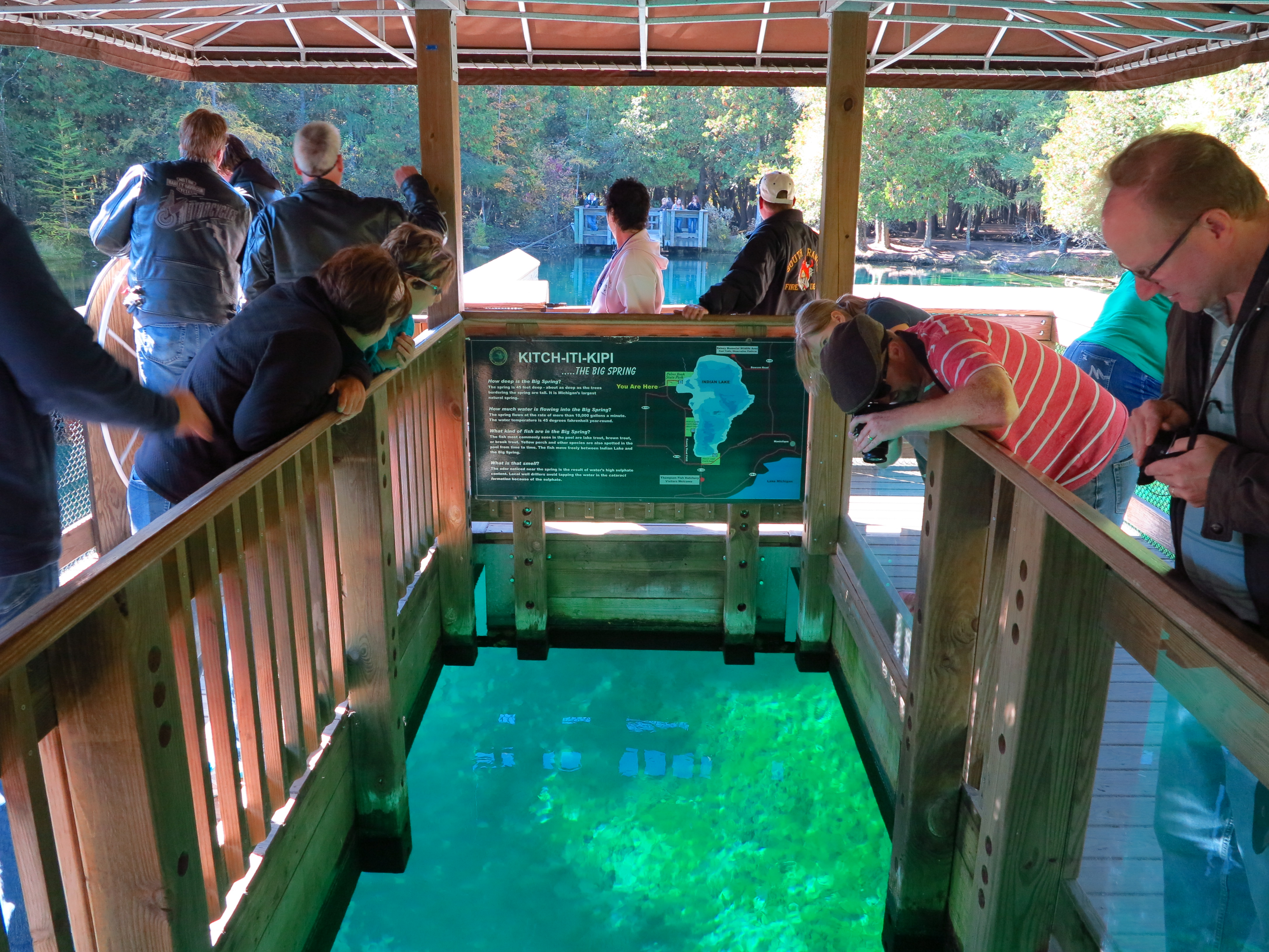
IMG_3268 tourists on The Big Spring raft
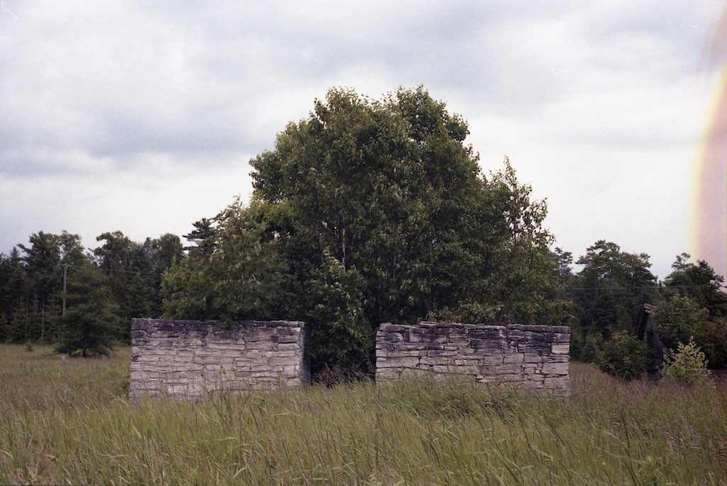
abandoned barn
Manistique East Breakwater Lighthouse - Manistique. Michigan 1998
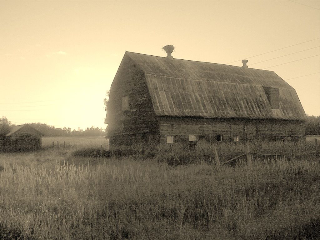
Michigan Barn
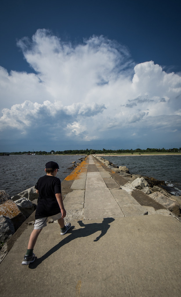
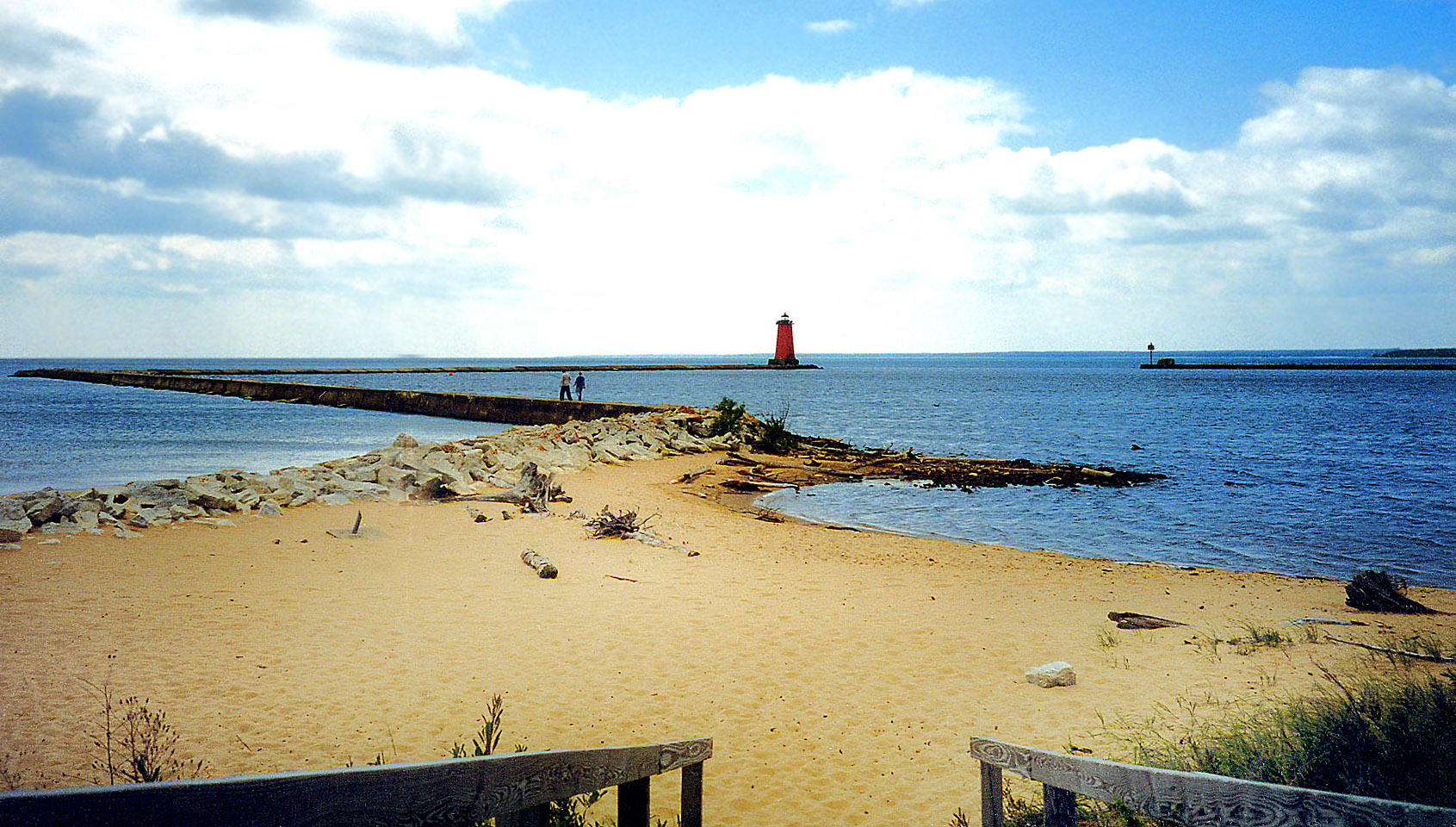
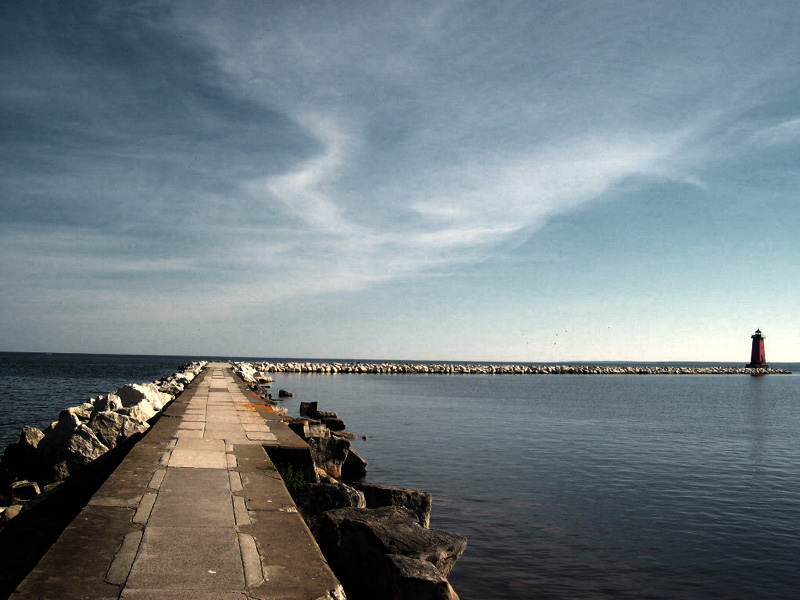
Walking on the jetty

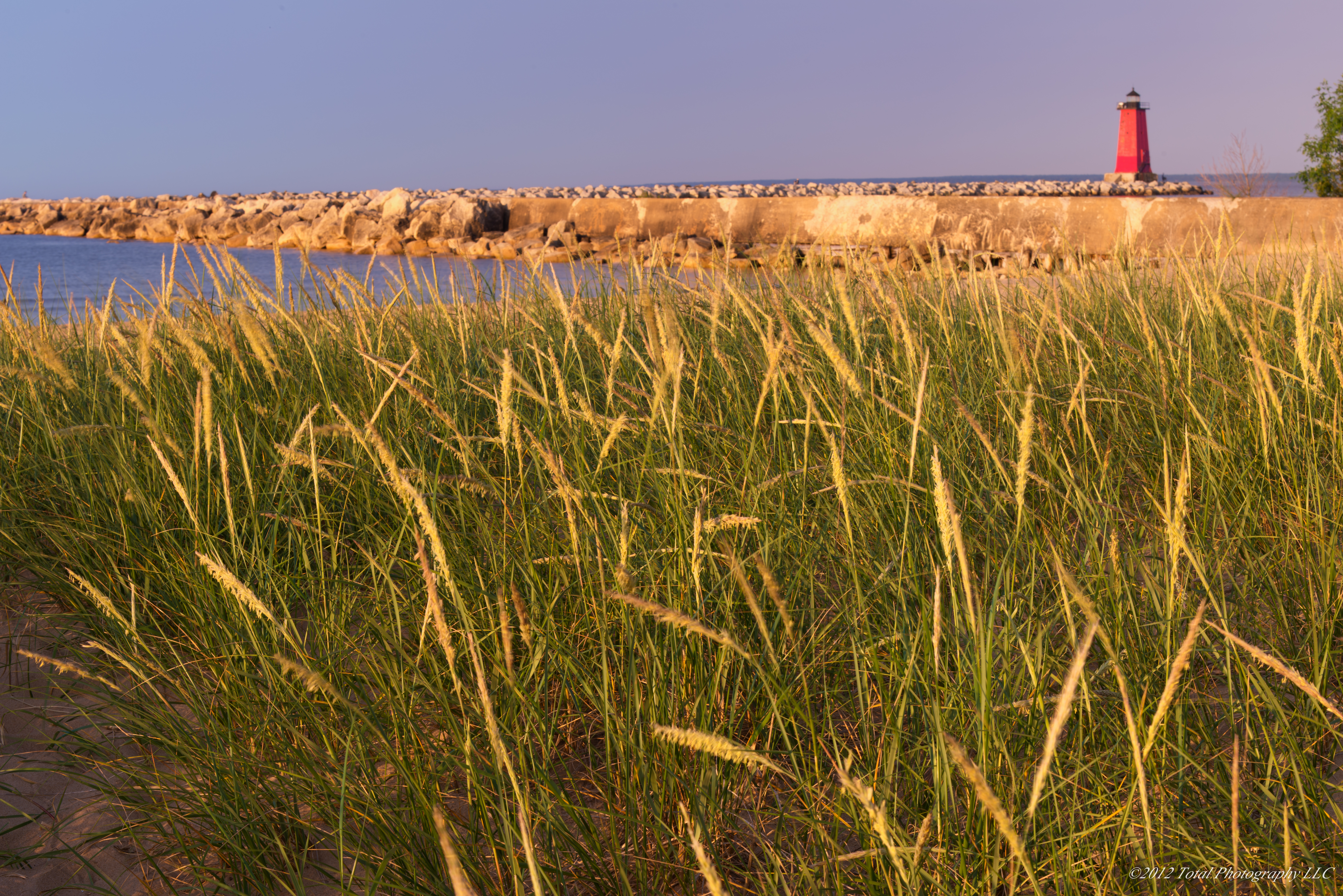
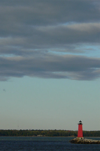
Manistique East Breakwater Lighthouse
Manistique East Breakwater Light

Photostock 2014 image 5 of ?, Cinema Two Drive In
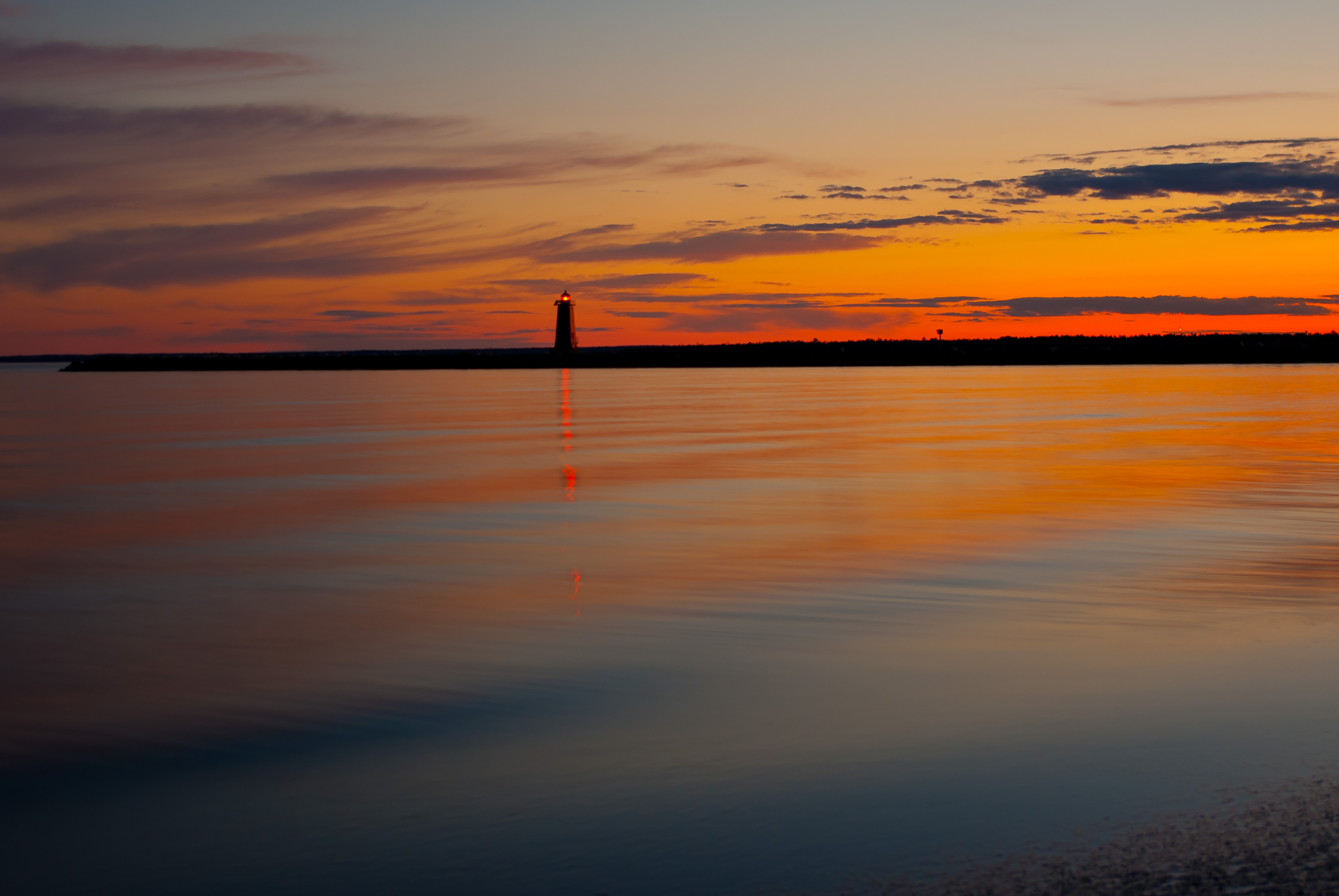
Manistique East Breakwater Lighthouse

Manistique light 12-23-13
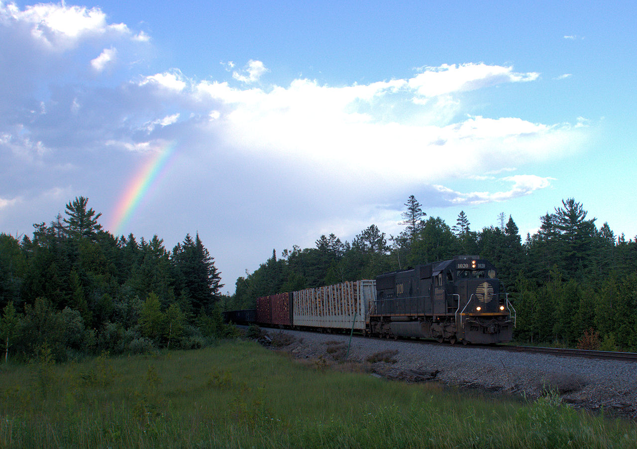
IC1020-SD70_Gulliver-MI_07-25-2011g
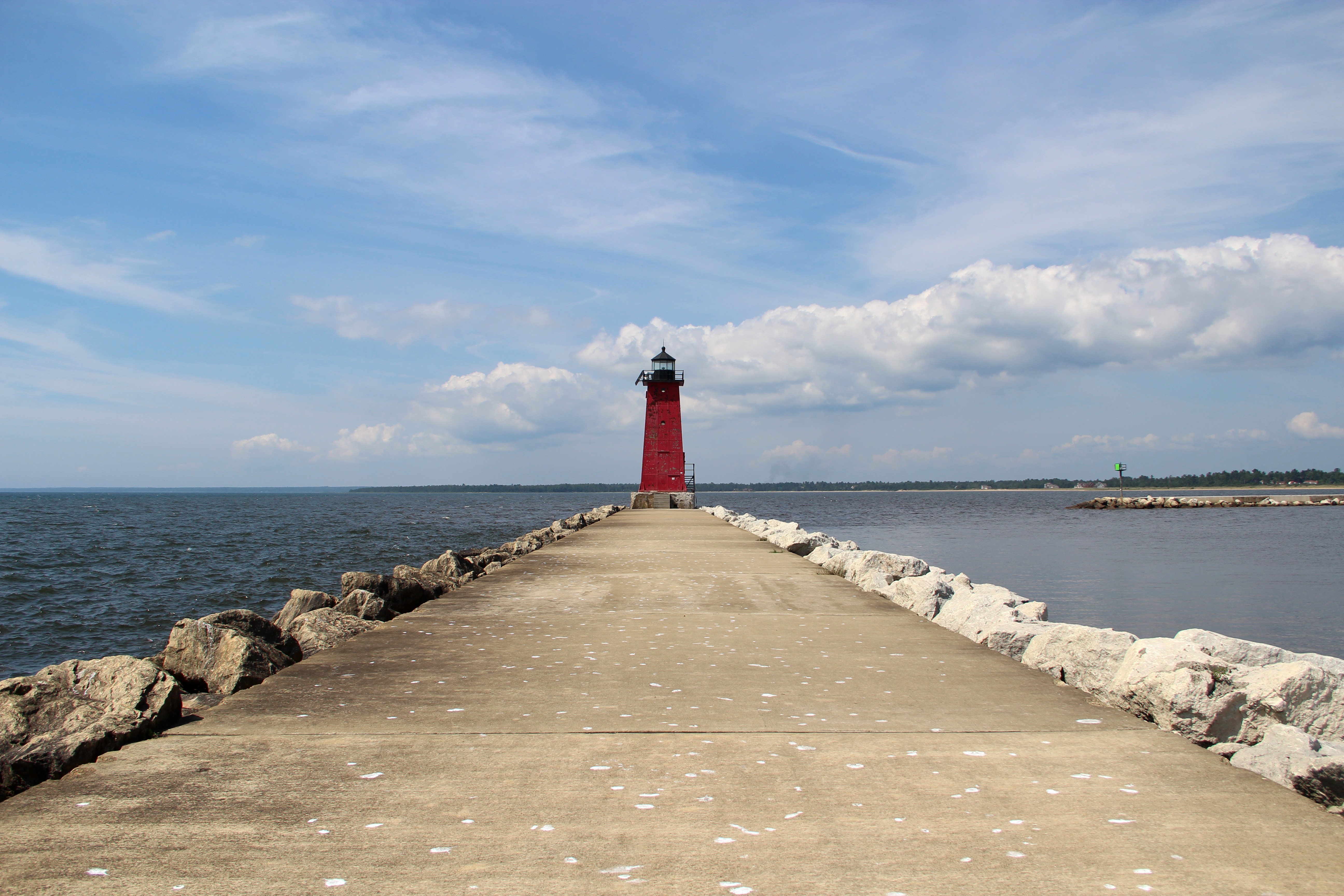
Manistique East Breakwater Lighthouse
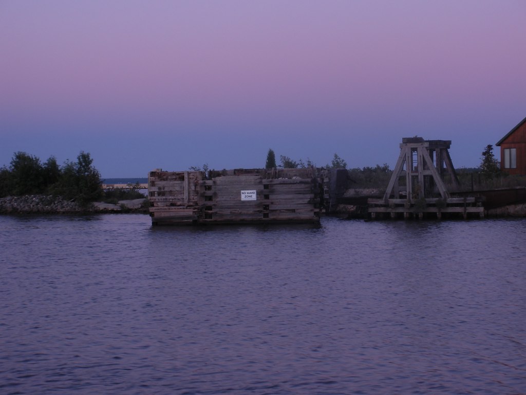
Former carferry slip in Manistique Michigan.
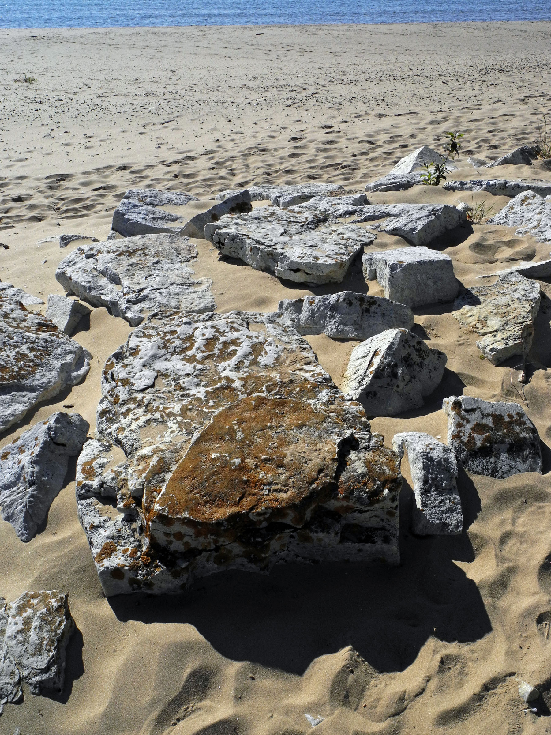
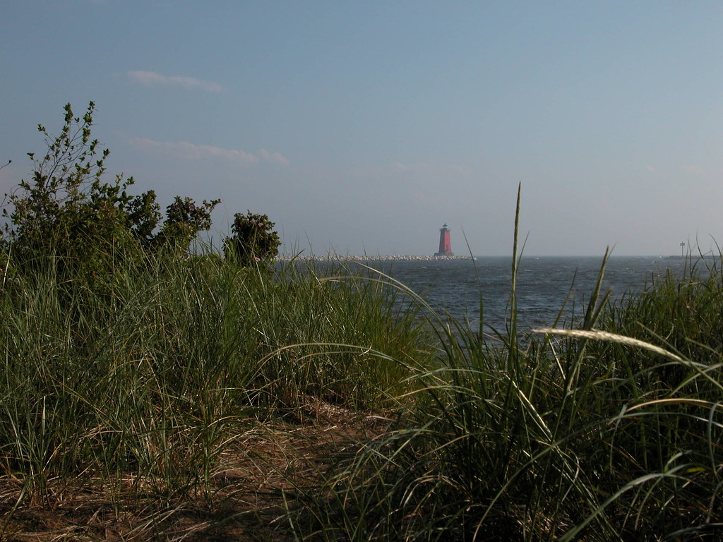
Rip-rap, Manistique Light, Michigan
Manistique lighthouse
2013 Road Trip around Lake Michigan (joined with Grandpa and Grandma at the end)
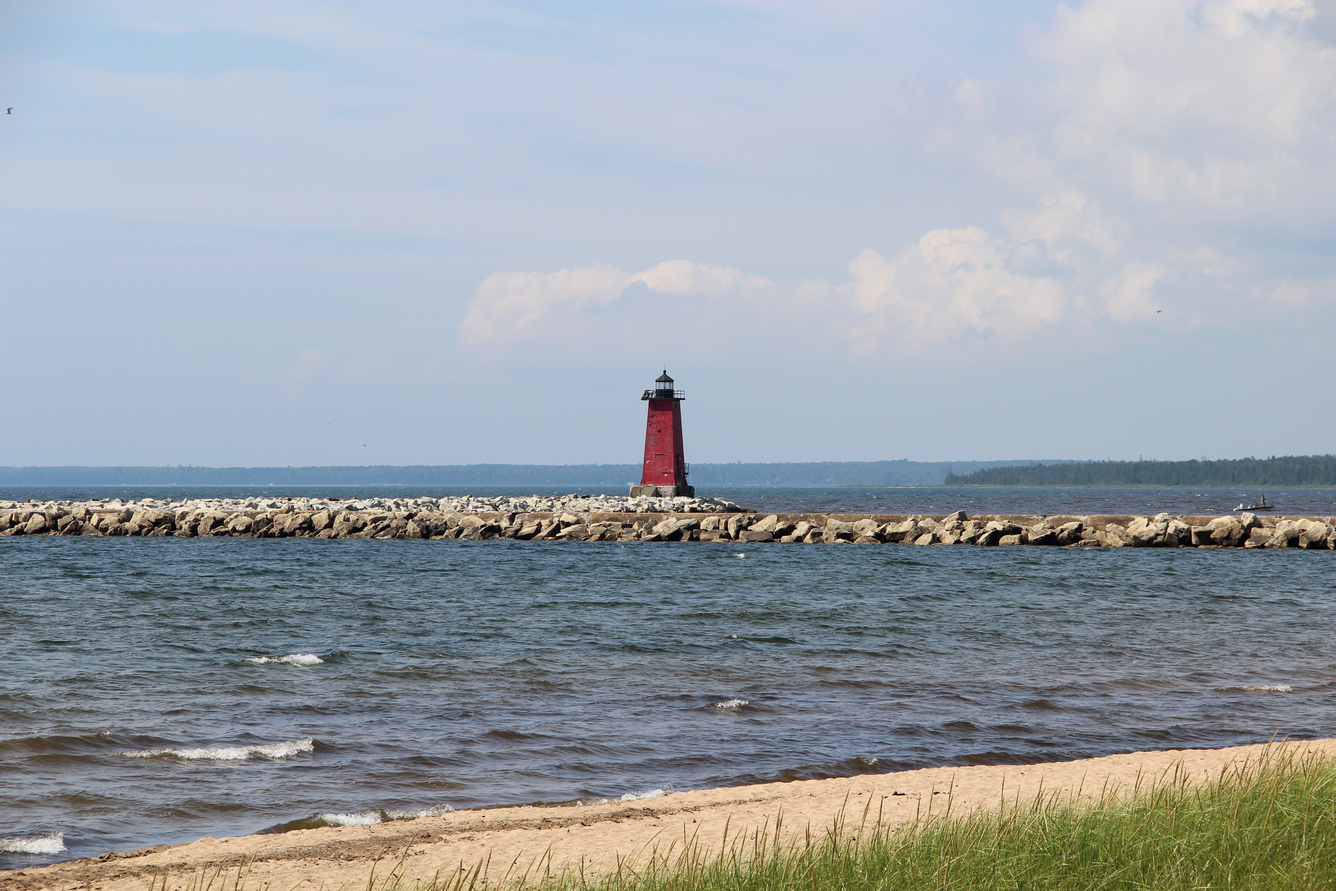
Manistique East Breakwater Lighthouse
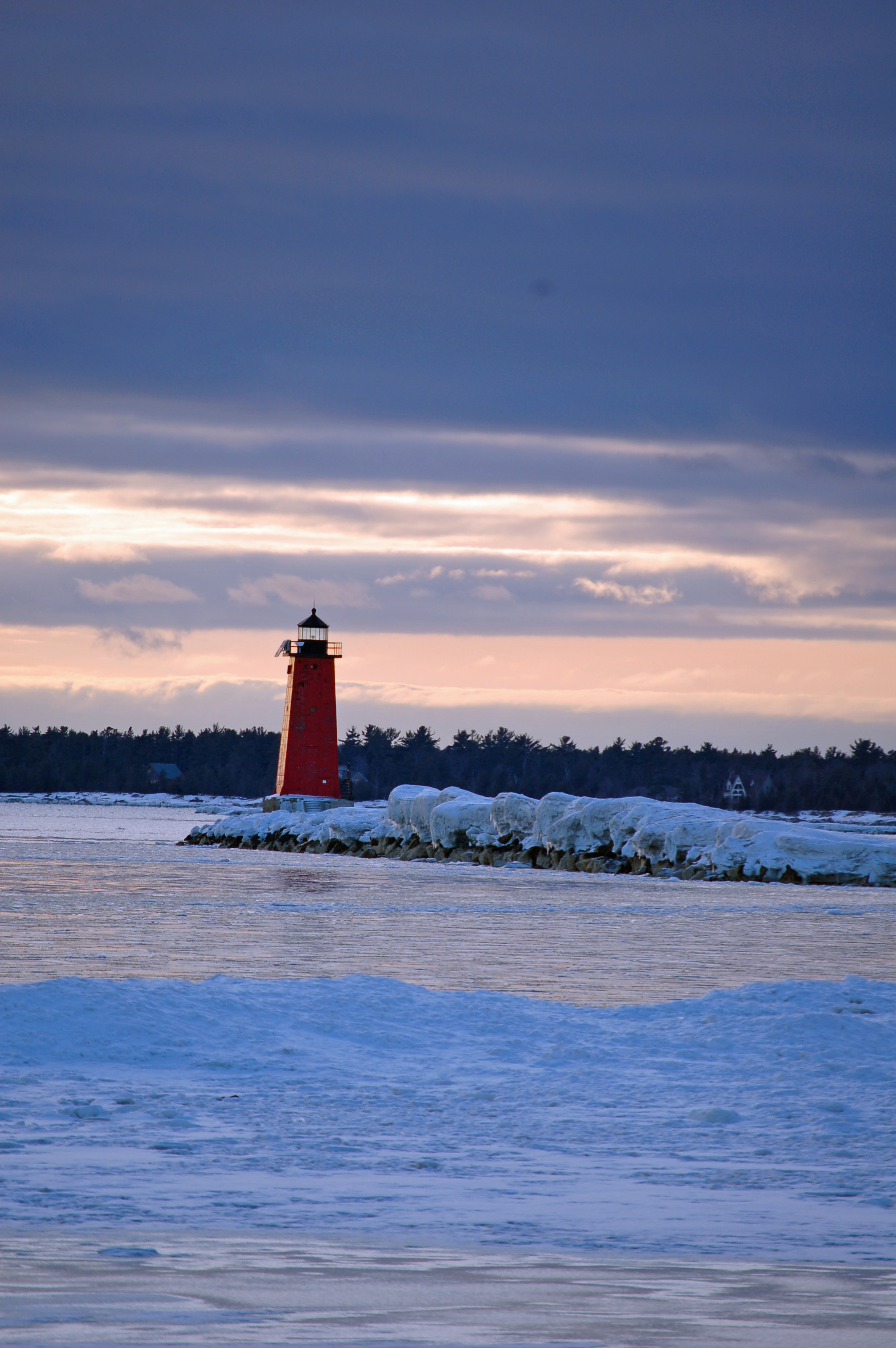
Manistique Lighthouse
Michigan Lighthouse
34950755.P1020279
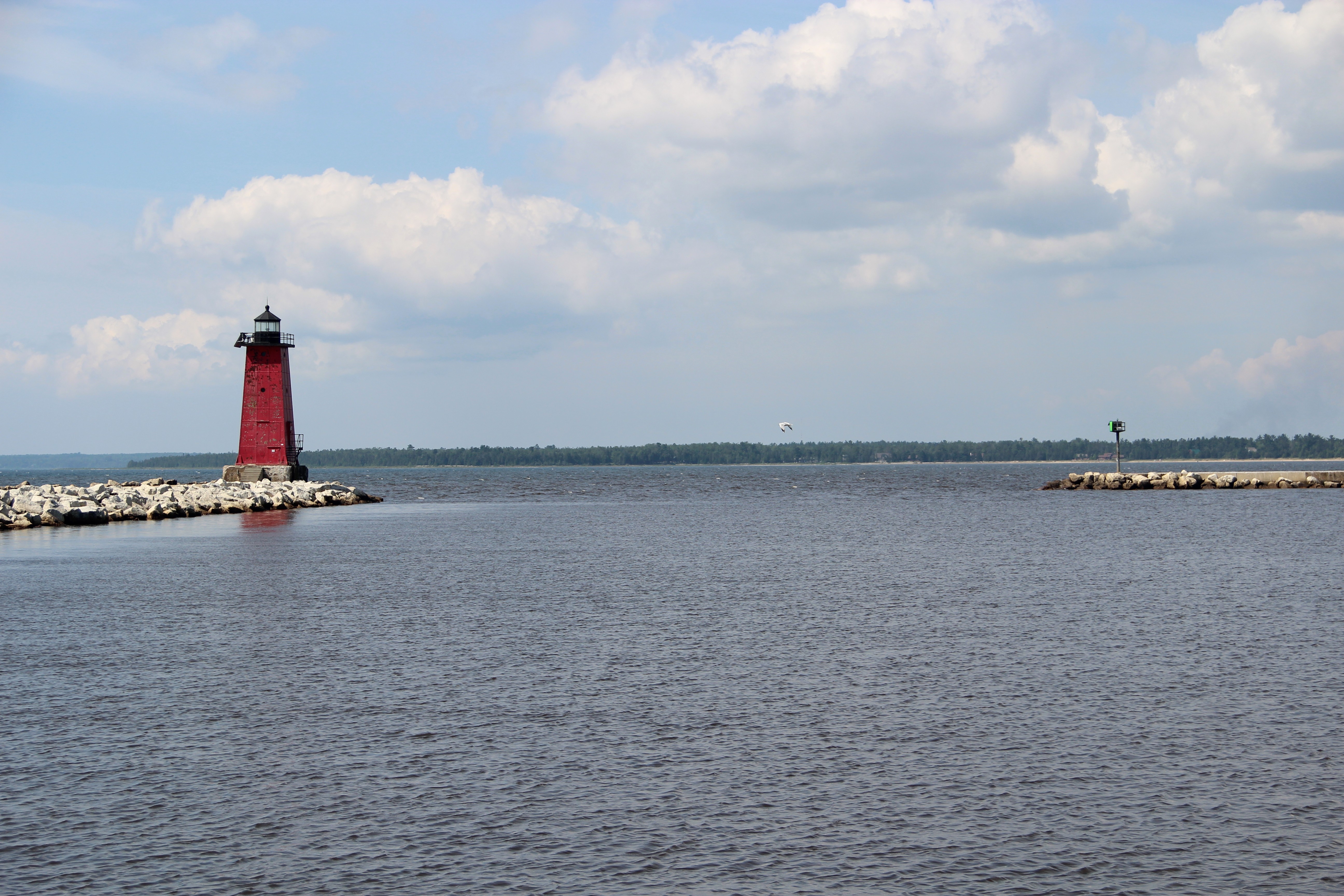
Manistique East and West Breakwater Lights

Smith Lake
Topographic Map of Schoolcraft County, MI, USA
Find elevation by address:

Places in Schoolcraft County, MI, USA:
Places near Schoolcraft County, MI, USA:
Manistique
State Road
Sunset Beach
Doyle Township
Gulliver
County Road 432
1220w
Inwood Township
Mueller Township
Cooks
Seney
6715 00.25 Rd
6715 00.25 Rd
Garden
Doe Lake Road
28 M-28, Munising, MI, USA
9427 M-28
Valley Spur
Au Train Township
Ensign Township
Recent Searches:
- Elevation of Fern Rd, Whitmore, CA, USA
- Elevation of 62 Abbey St, Marshfield, MA, USA
- Elevation of Fernwood, Bradenton, FL, USA
- Elevation of Felindre, Swansea SA5 7LU, UK
- Elevation of Leyte Industrial Development Estate, Isabel, Leyte, Philippines
- Elevation of W Granada St, Tampa, FL, USA
- Elevation of Pykes Down, Ivybridge PL21 0BY, UK
- Elevation of Jalan Senandin, Lutong, Miri, Sarawak, Malaysia
- Elevation of Bilohirs'k
- Elevation of 30 Oak Lawn Dr, Barkhamsted, CT, USA