Elevation of Doodlebug Lane, Doodlebug Ln, Shingletown, CA, USA
Location: United States > California > Shasta County > Shingletown >
Longitude: -121.93834
Latitude: 40.5217396
Elevation: 764m / 2507feet
Barometric Pressure: 92KPa
Elevation Map:
Satellite Map:
Related Photos:

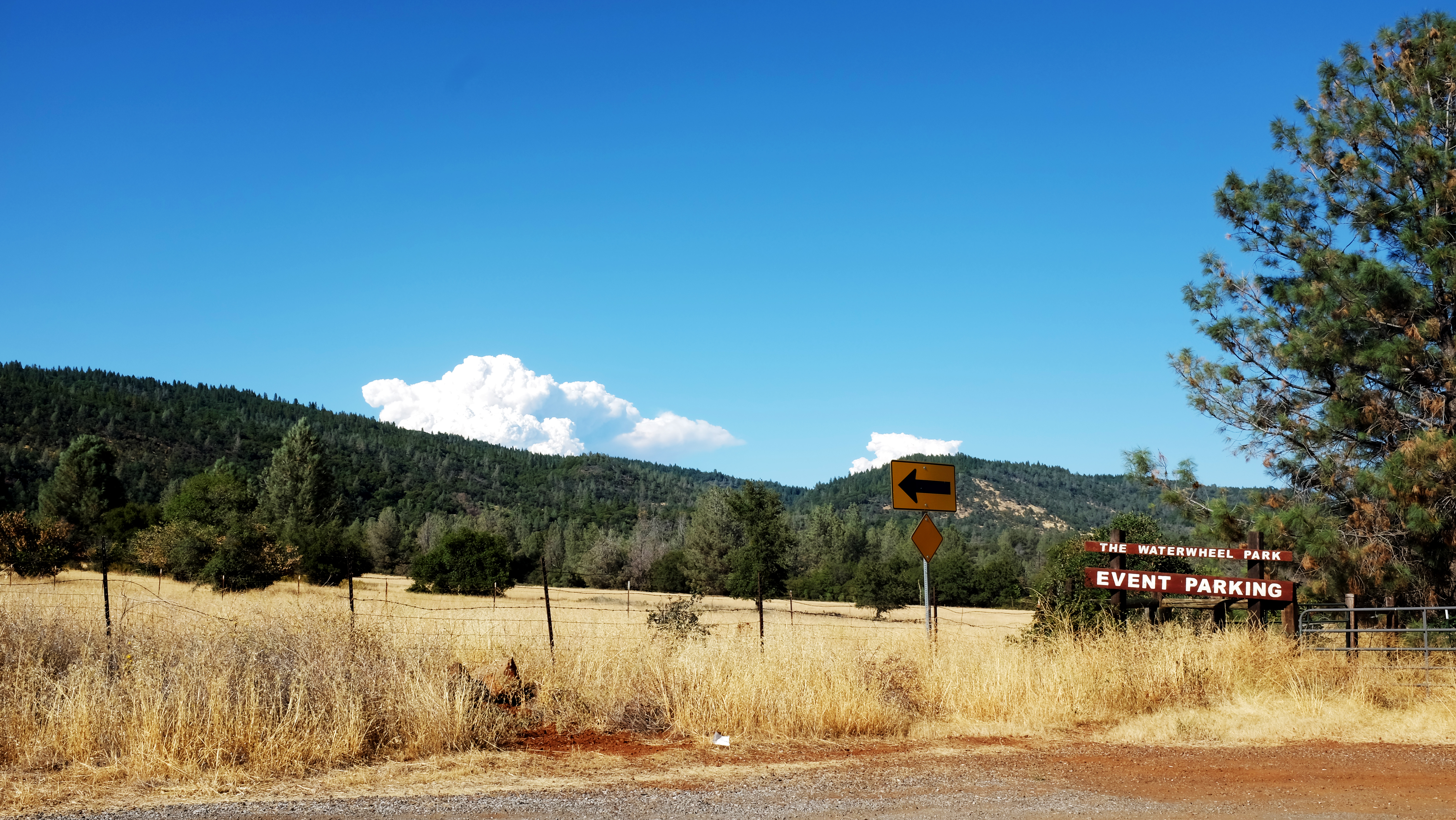
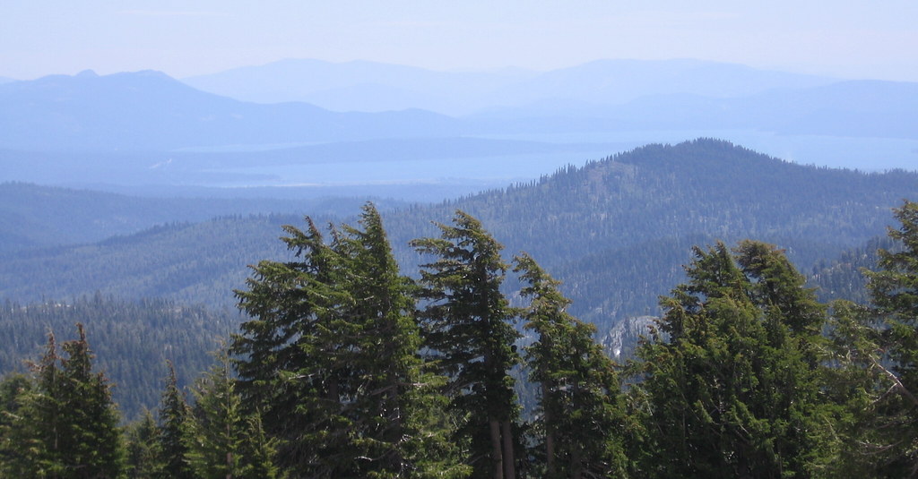
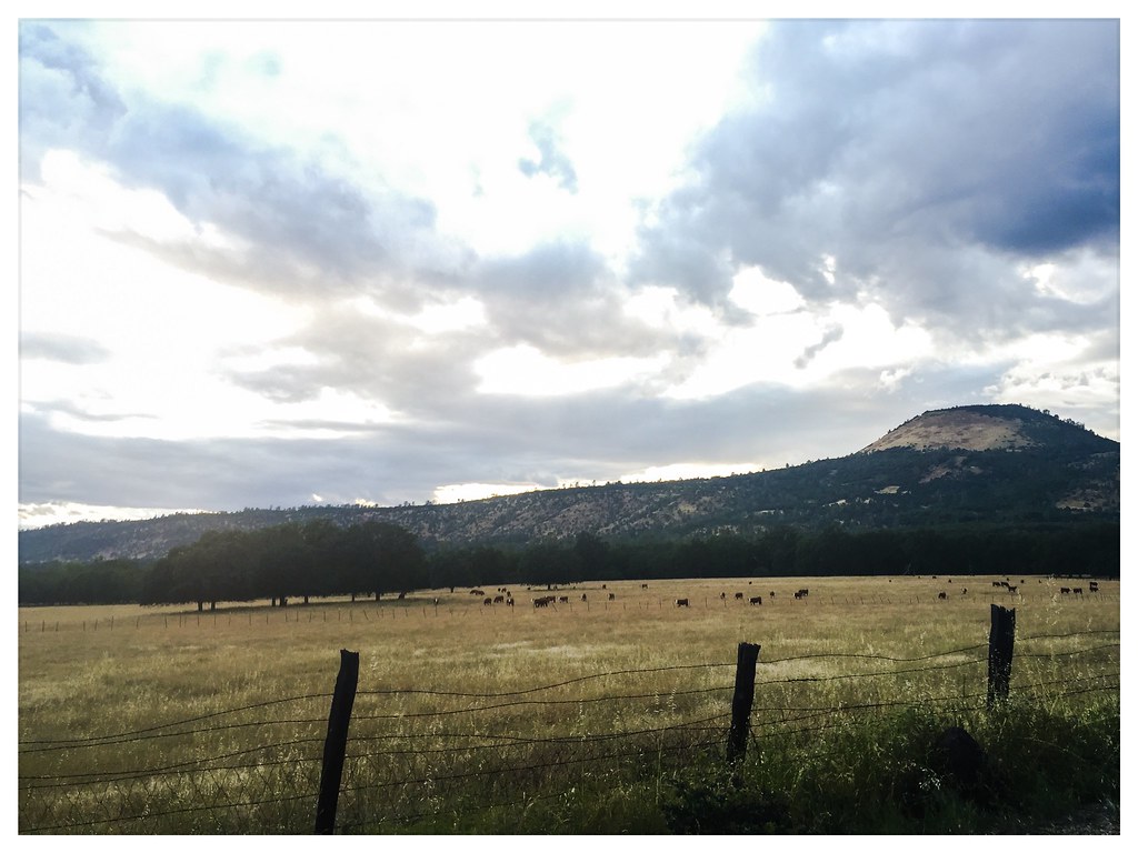
Roberts_12 Fountain
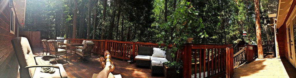
Panoramic view from Larissa's deck
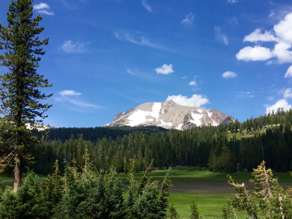
Roberts_80 Lassen Peak

Roberts_75 Summit Lake

#California #USA
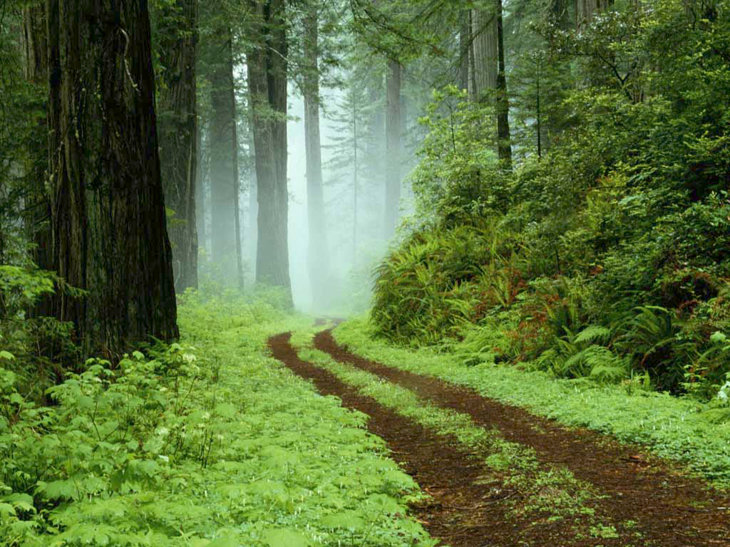
A forest path in Redwoods State Park, California.

A forest path in Redwoods State Park, California.

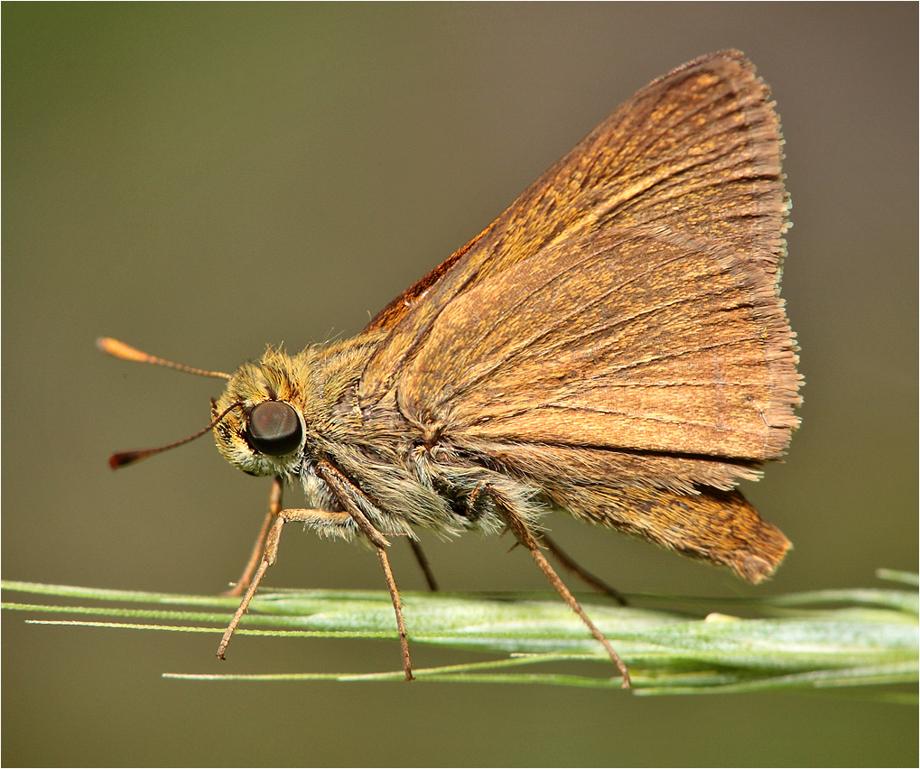
Sandhill Skipper

Sandhill Skipper
Montague 2012

L1020042.NEF
A closer look at the Wildfire

Mylitta Cresent
Lassen Volcanic National Park
Lassen County Exploring
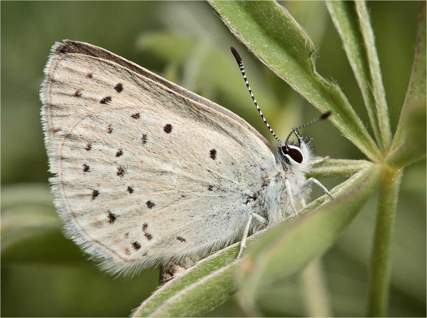
Boisduval's Blue
Dun Skipper

Western Tiger Swallotail

Woodland Skipper
IMG_2697.jpg

Horses @ Wild Horse Sanctuary

California Tortoiseshell

Roberts_76 Summit Lake
Topographic Map of Doodlebug Lane, Doodlebug Ln, Shingletown, CA, USA
Find elevation by address:

Places near Doodlebug Lane, Doodlebug Ln, Shingletown, CA, USA:
29246 Westmoore Rd
30562 Thumper Dr
7169 Shasta Forest Dr
7295 Shasta Forest Dr
7593 Midway Pines Dr
7354 Shasta Forest Dr
7374 Shasta Forest Dr
30763 Thumper Dr
7493 Shasta Forest Dr
7493 Shasta Forest Dr
7174 Dogwood Cir
7324 Patience Ln
30892 Dandelion Ln
Shingletown
Shingletown Store Inc
31159 Woodridge Dr
10473 Blue Mountain Ranch Rd
6450 Wilson Hill Rd
Blue Mountain Ranch Rd, Whitmore, CA, USA
10518 Hufford Ranch Rd
Recent Searches:
- Elevation of Côte-des-Neiges, Montreal, QC H4A 3J6, Canada
- Elevation of Bobcat Dr, Helena, MT, USA
- Elevation of Zu den Ihlowbergen, Althüttendorf, Germany
- Elevation of Badaber, Peshawar, Khyber Pakhtunkhwa, Pakistan
- Elevation of SE Heron Loop, Lincoln City, OR, USA
- Elevation of Slanický ostrov, 01 Námestovo, Slovakia
- Elevation of Spaceport America, Co Rd A, Truth or Consequences, NM, USA
- Elevation of Warwick, RI, USA
- Elevation of Fern Rd, Whitmore, CA, USA
- Elevation of 62 Abbey St, Marshfield, MA, USA