Elevation of Blue Mountain Ranch Rd, Whitmore, CA, USA
Location: United States > California > Shasta County > Whitmore >
Longitude: -121.94355
Latitude: 40.5920879
Elevation: 582m / 1909feet
Barometric Pressure: 95KPa
Elevation Map:
Satellite Map:
Related Photos:

Roberts_12 Fountain
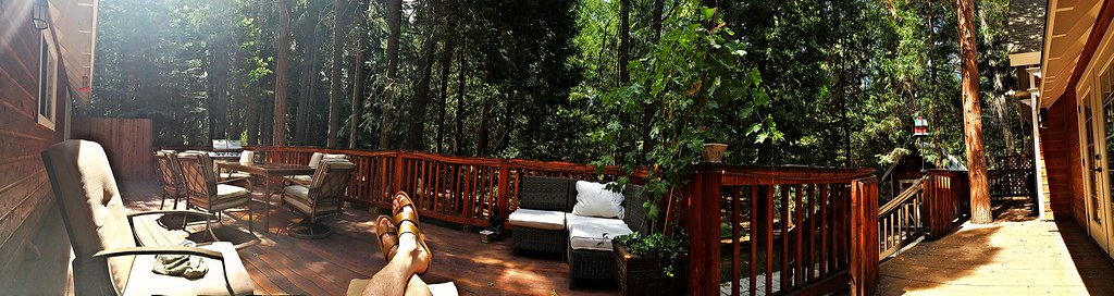
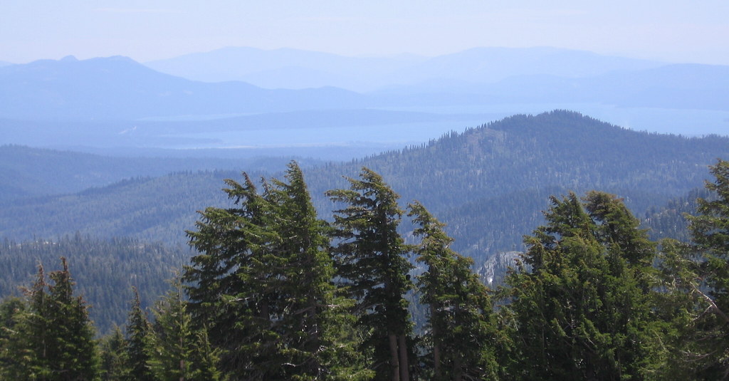
Panoramic view from Larissa's deck
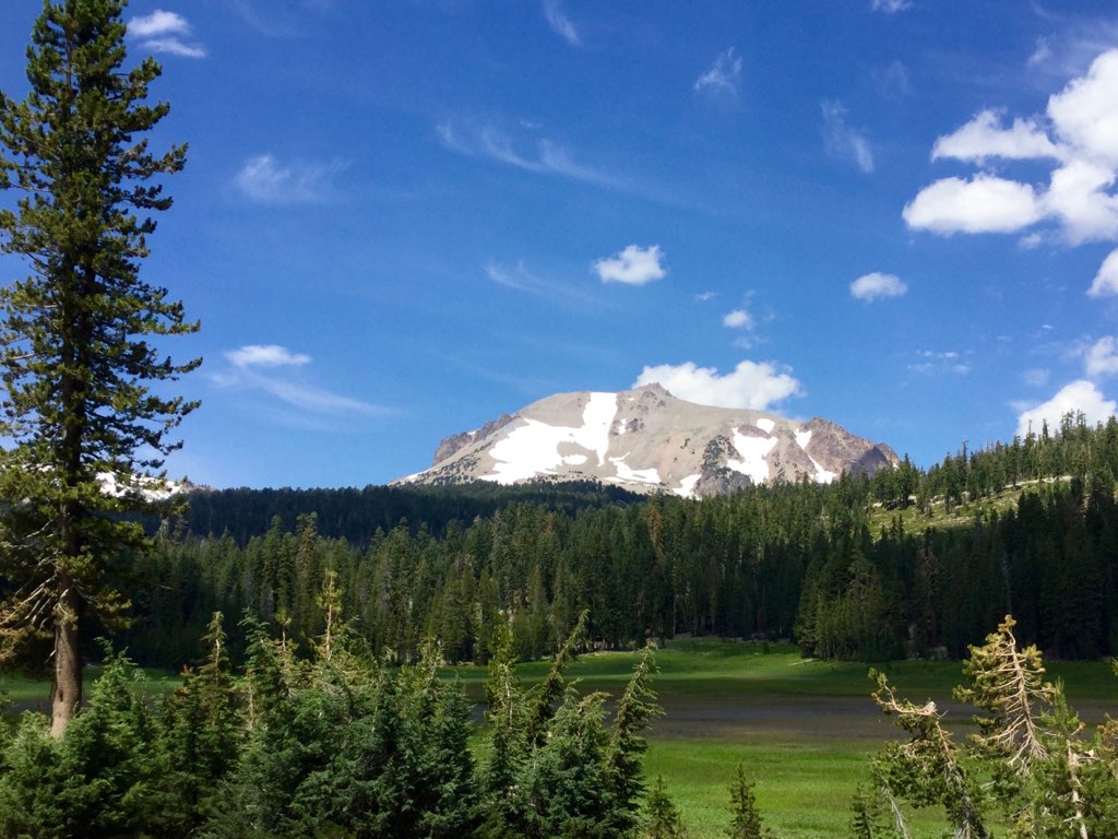
Roberts_80 Lassen Peak

Roberts_75 Summit Lake
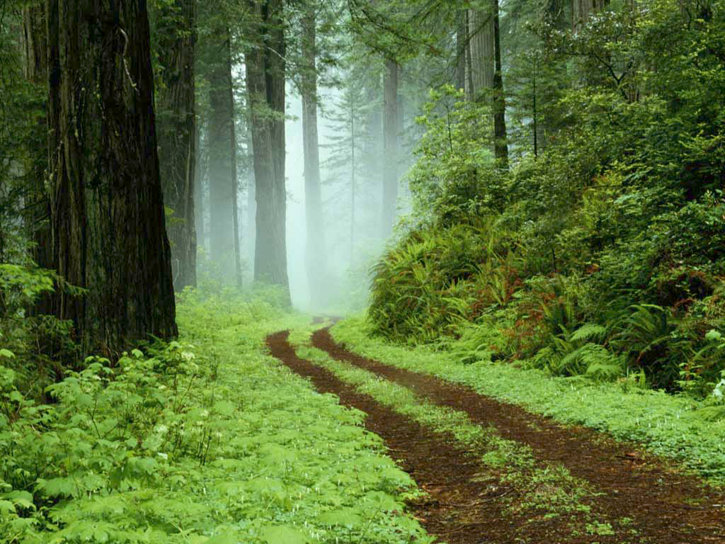
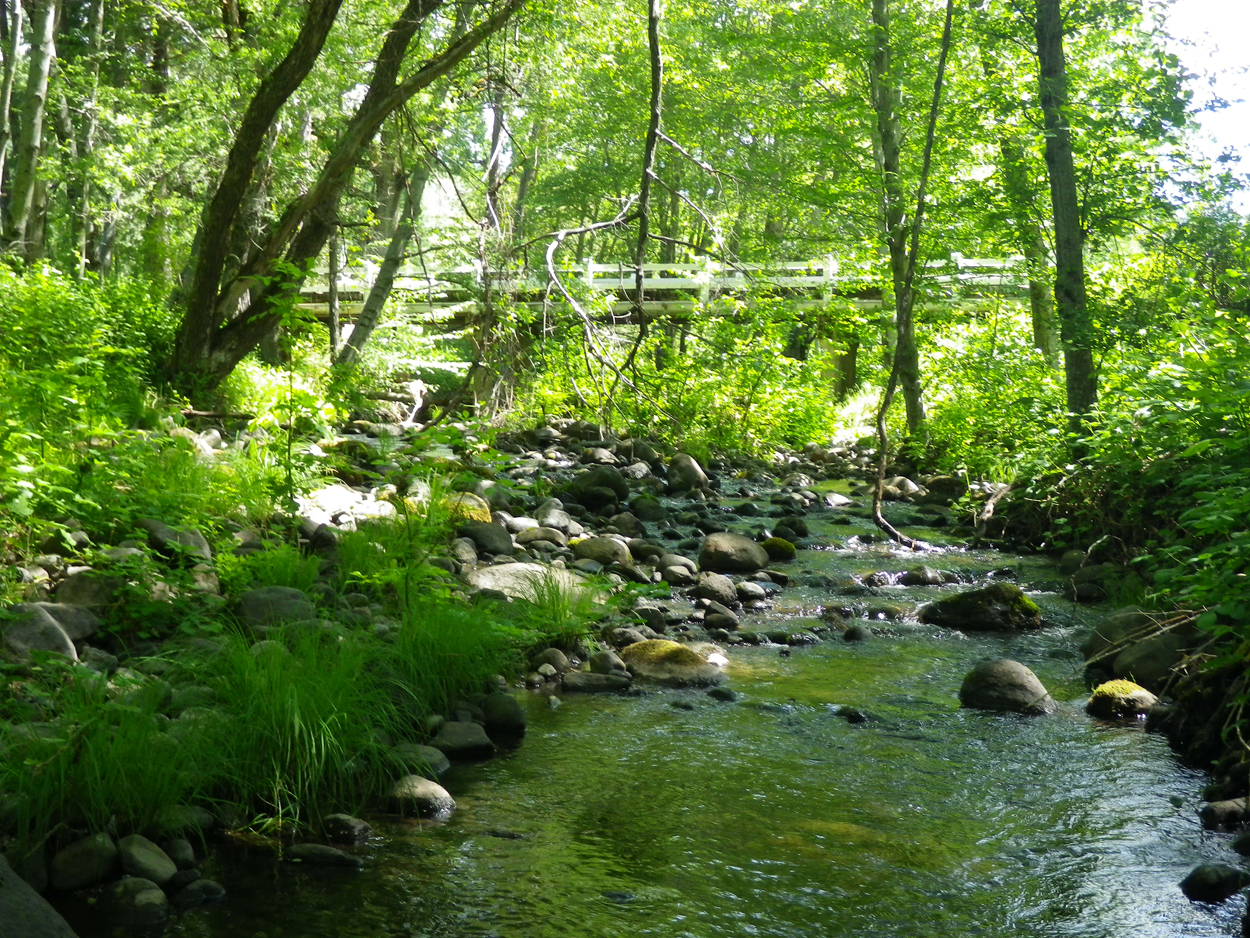
A forest path in Redwoods State Park, California.

A forest path in Redwoods State Park, California.

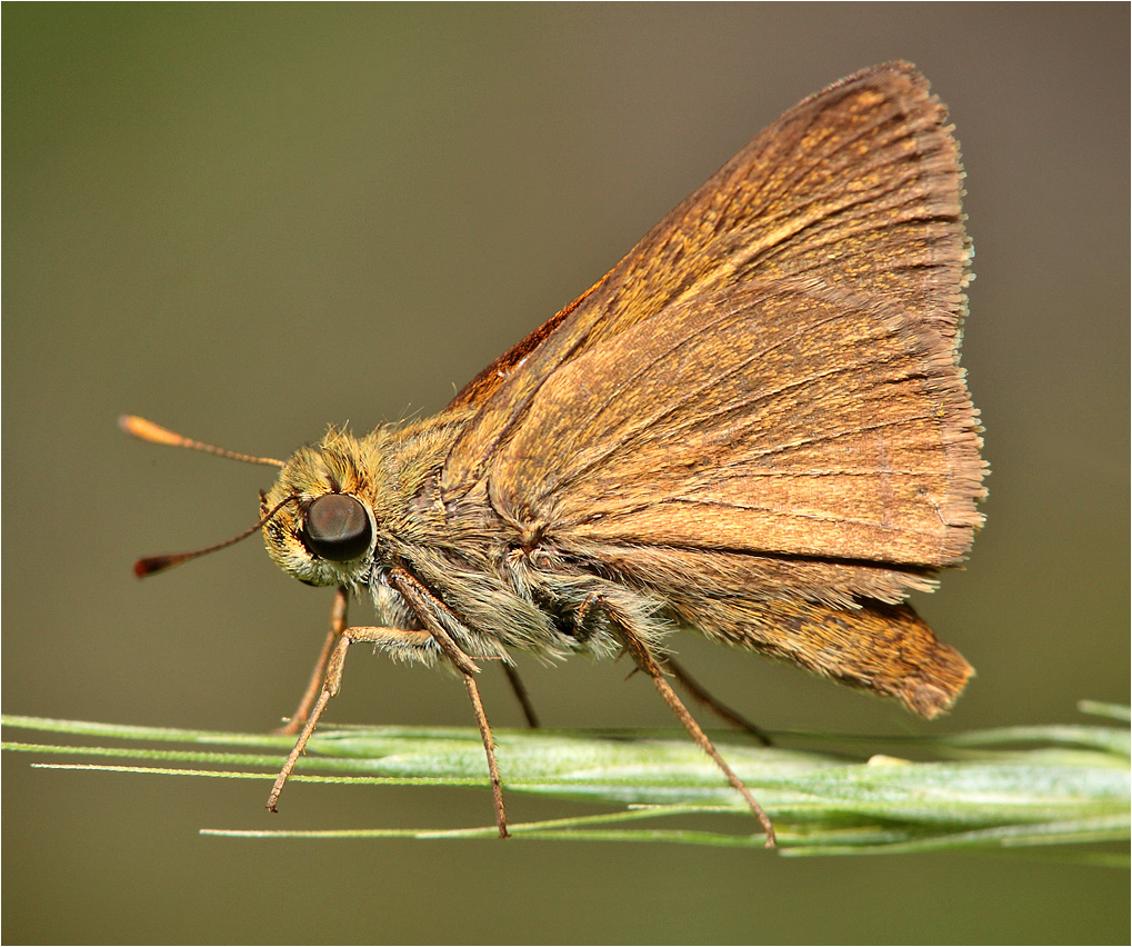
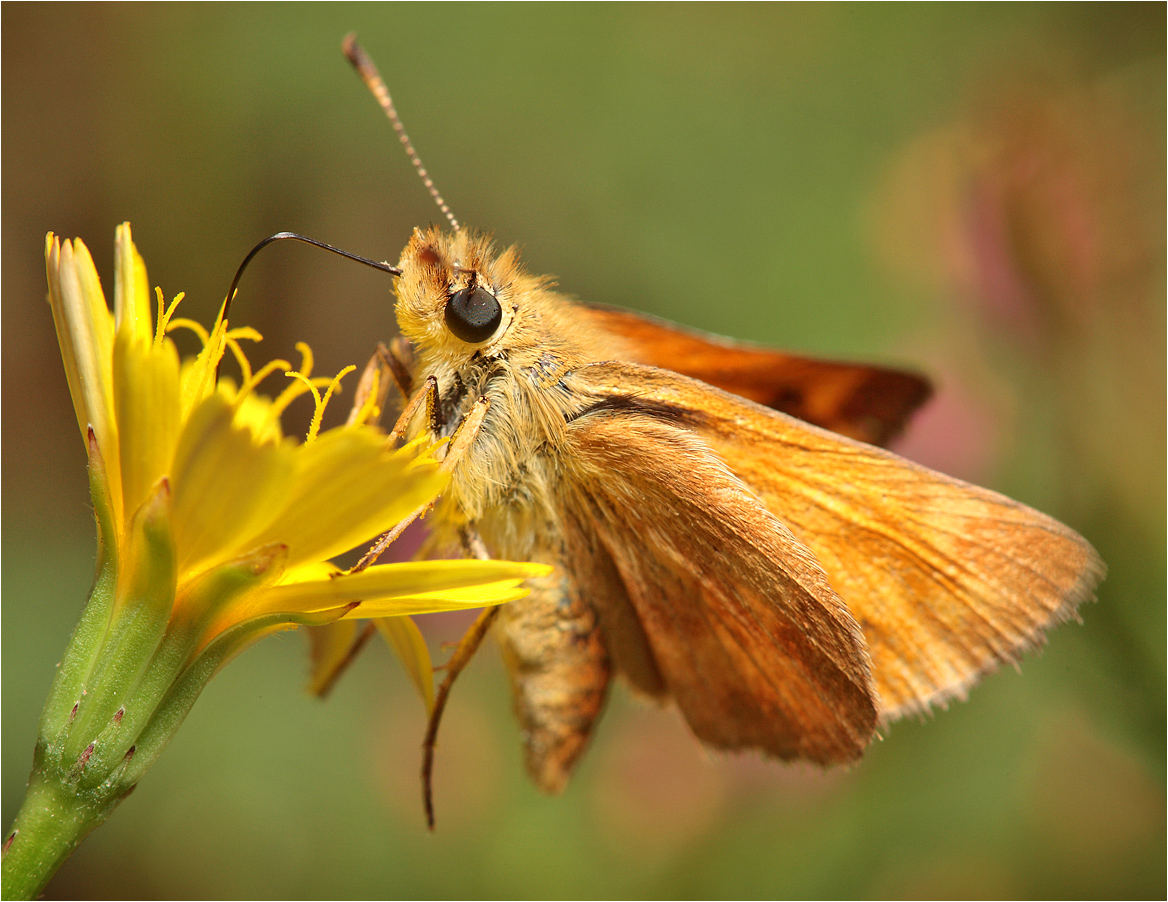
Sandhill Skipper

Sandhill Skipper

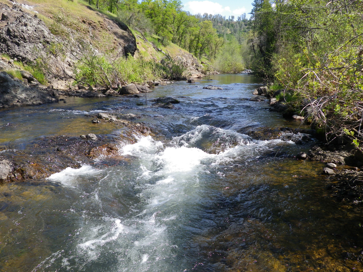
Kilarc Reservoir
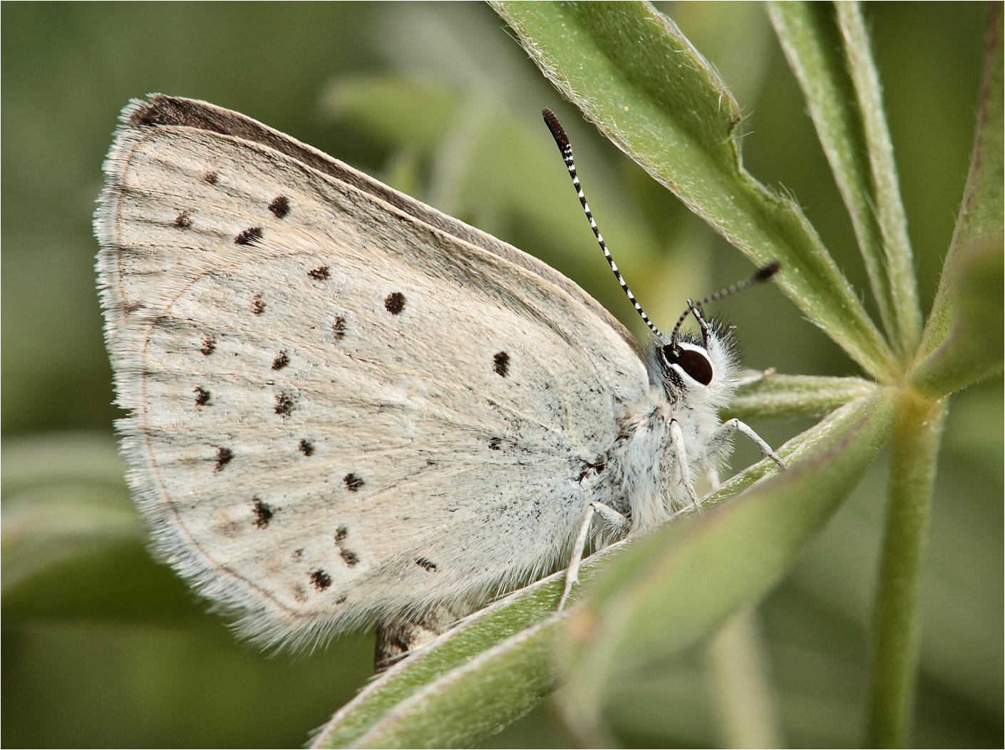
Boisduval's Blue

Secret Turkey Spot- decoy in place
Ott-Stahl
Lassen Volcanic National Park
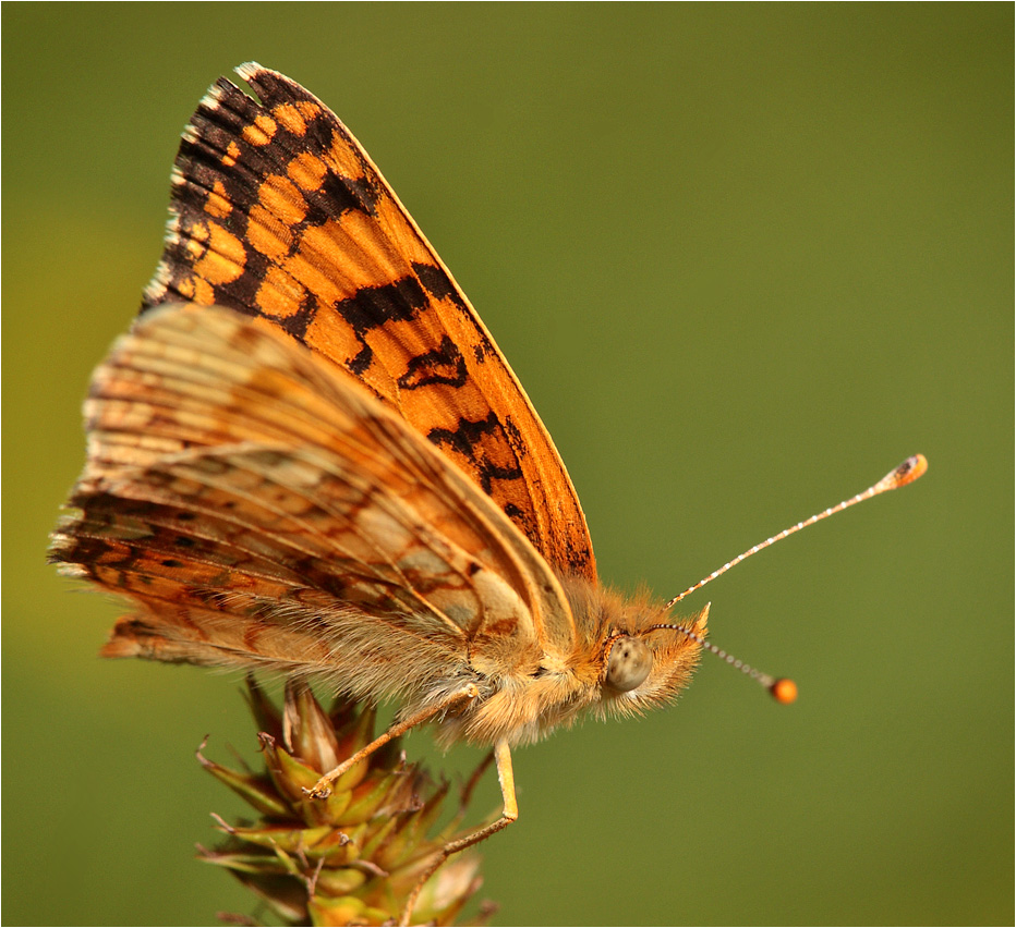
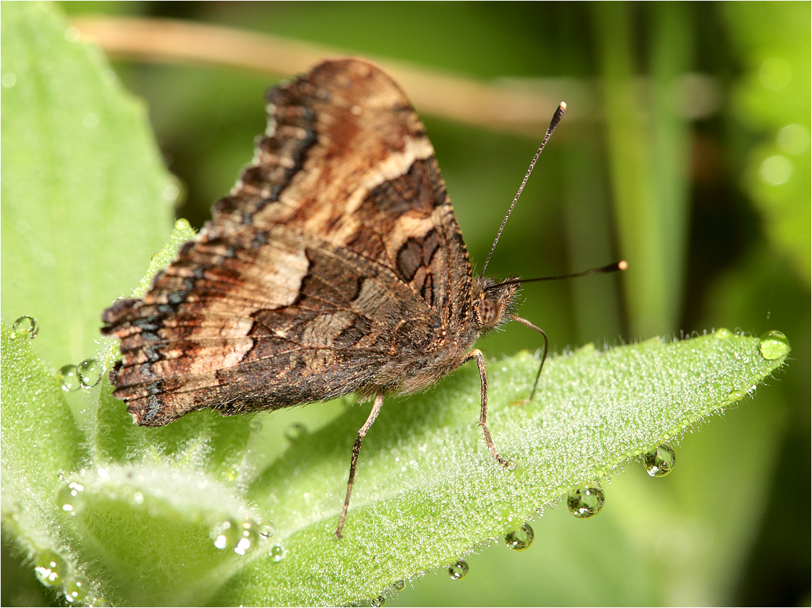
Mylitta Cresent
Dun Skipper
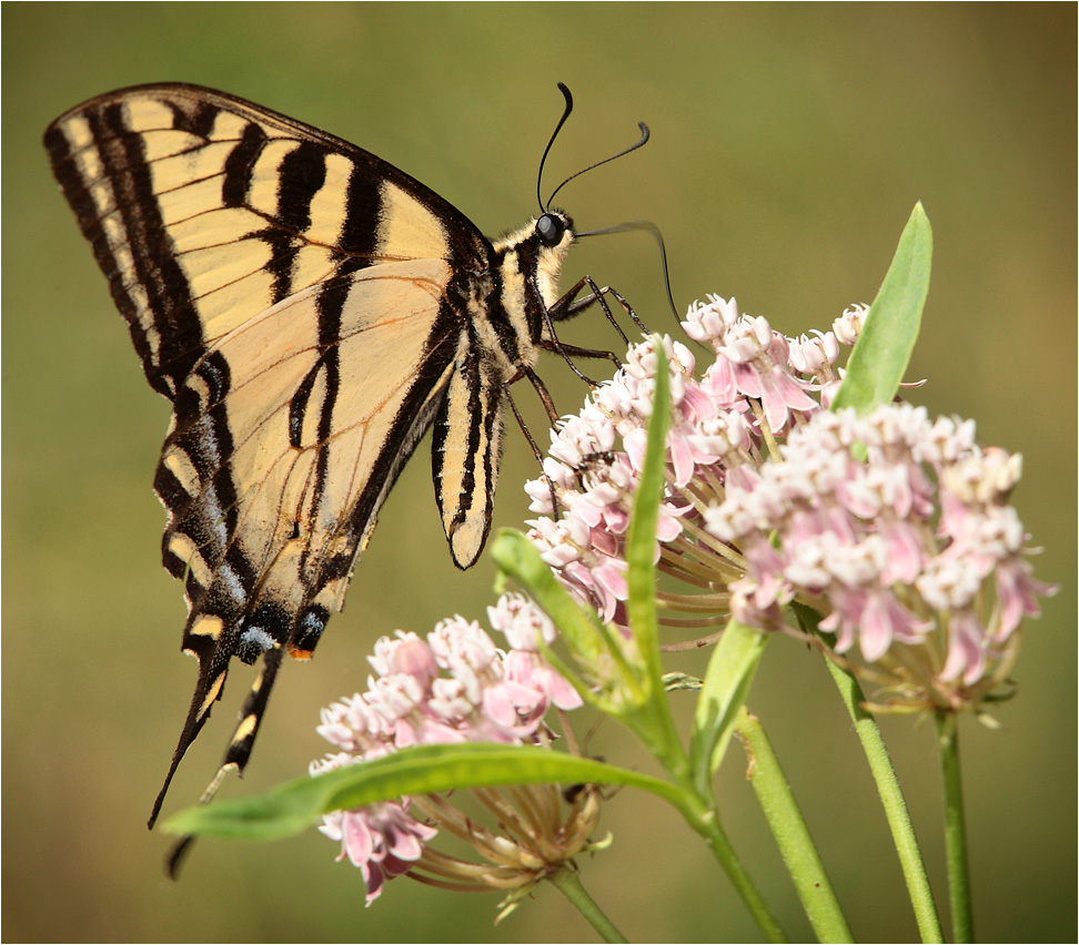
Western Tiger Swallotail
Woodland Skipper

Elk on Oak Run Rd. march 22nd 7am
California Tortoiseshell

Roberts_76 Summit Lake

Roberts_74 Summit Lake
Elmer's Way

Horses enjoying freedom at the Wild Horse Sanctuary in Manton California
Topographic Map of Blue Mountain Ranch Rd, Whitmore, CA, USA
Find elevation by address:

Places near Blue Mountain Ranch Rd, Whitmore, CA, USA:
Blue Mountain Ranch Rd, Whitmore, CA, USA
29323 S Cow Creek Rd
29348 S Cow Creek Rd
10515 Hufford Ranch Rd
10518 Hufford Ranch Rd
Doodlebug Lane
29246 Westmoore Rd
7593 Midway Pines Dr
7295 Shasta Forest Dr
7354 Shasta Forest Dr
7374 Shasta Forest Dr
7169 Shasta Forest Dr
30562 Thumper Dr
7324 Patience Ln
7493 Shasta Forest Dr
7493 Shasta Forest Dr
30763 Thumper Dr
7174 Dogwood Cir
30892 Dandelion Ln
Shingletown Store Inc
Recent Searches:
- Elevation of Luther Road, Luther Rd, Auburn, CA, USA
- Elevation of Unnamed Road, Respublika Severnaya Osetiya — Alaniya, Russia
- Elevation of Verkhny Fiagdon, North Ossetia–Alania Republic, Russia
- Elevation of F. Viola Hiway, San Rafael, Bulacan, Philippines
- Elevation of Herbage Dr, Gulfport, MS, USA
- Elevation of Lilac Cir, Haldimand, ON N3W 2G9, Canada
- Elevation of Harrod Branch Road, Harrod Branch Rd, Kentucky, USA
- Elevation of Wyndham Grand Barbados Sam Lords Castle All Inclusive Resort, End of Belair Road, Long Bay, Bridgetown Barbados
- Elevation of Iga Trl, Maggie Valley, NC, USA
- Elevation of N Co Rd 31D, Loveland, CO, USA