Elevation of Don Felipe Rd, Belen, NM, USA
Location: United States > New Mexico > Belen >
Longitude: -106.77762
Latitude: 34.672556
Elevation: 1466m / 4810feet
Barometric Pressure: 85KPa
Elevation Map:
Satellite Map:
Related Photos:

The Tracks
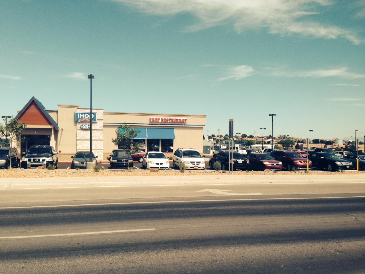
IHOP in Los Lunas

Red Phalarope

Red Phalarope

Red Phalarope
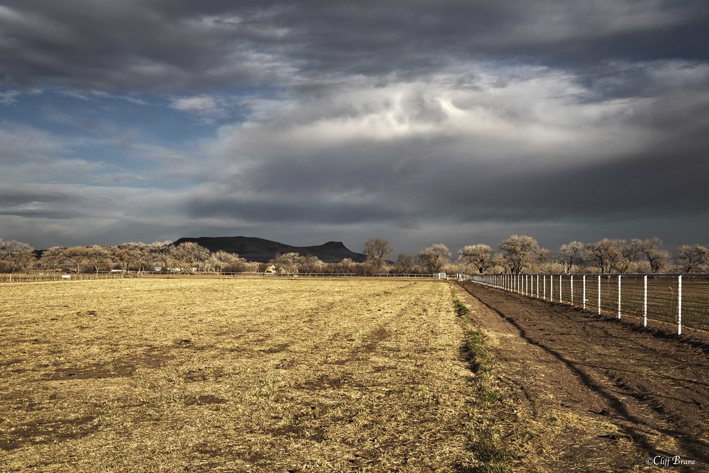
Fence, Field and Cottonwood Trees in Morning Sun - Valencia County, NM

Snow in the Manzanos

Flood Irrigation - Farm Field Valencia County New Mexico
Three Trees
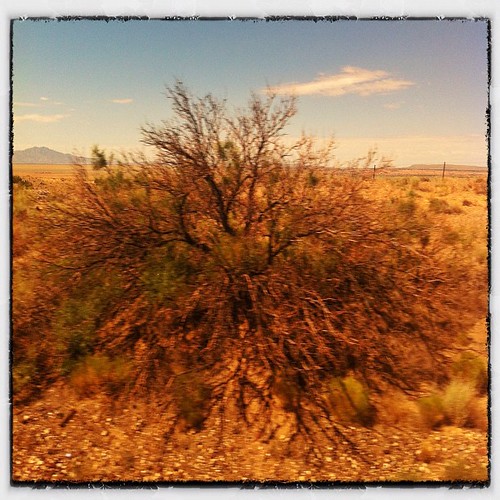
bit'o'bush
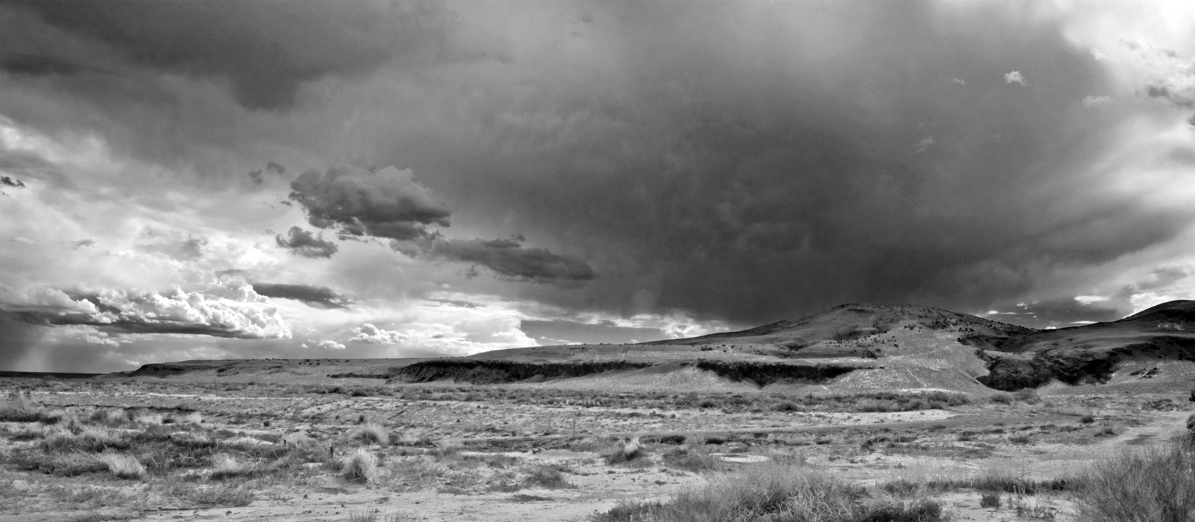
High Desert Mesa Storm Clouds II bw
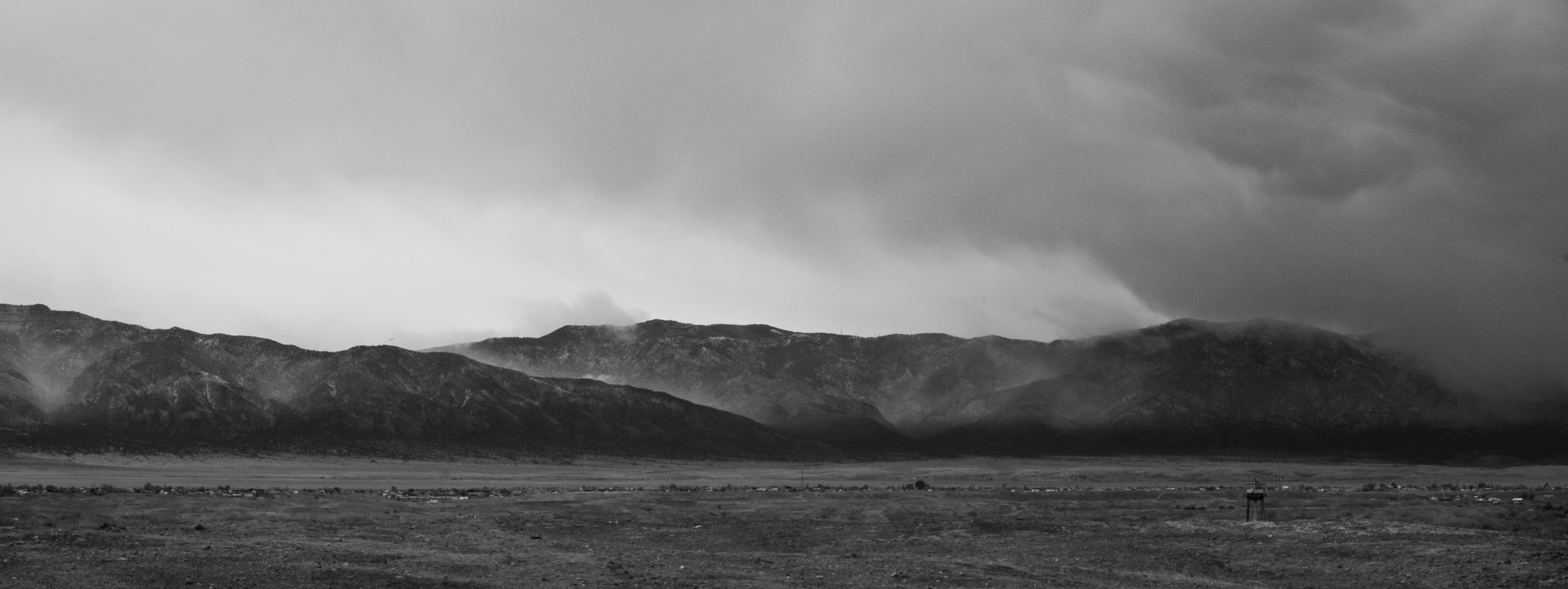
Spring Storm on the Manzano's
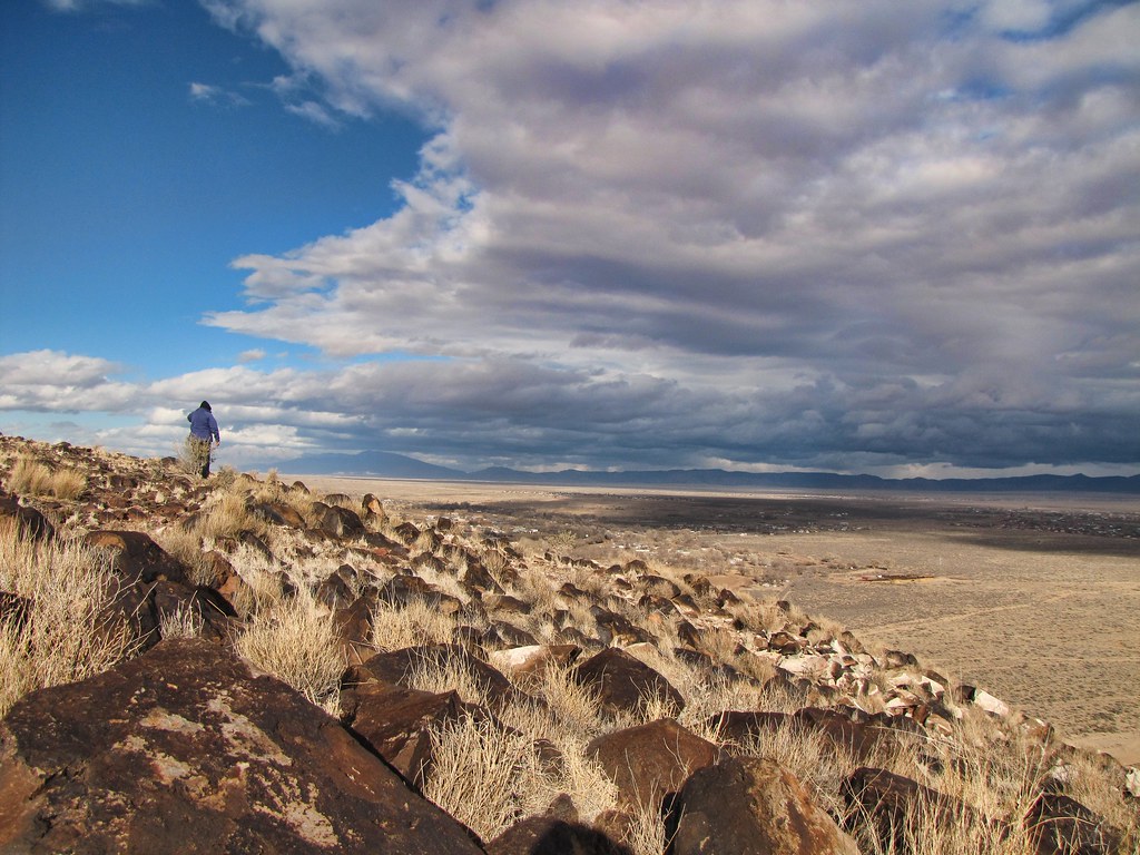
Watching the retreating storm from Tome Hill

Desert...
Willie Chavez RV Park _4582
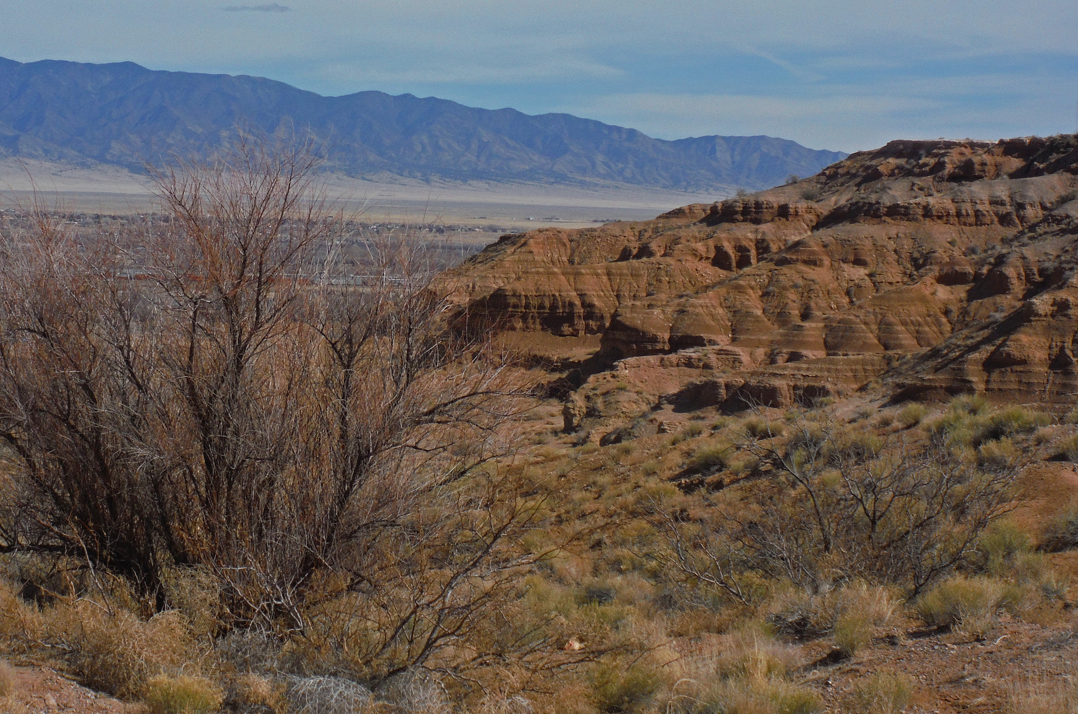
Rough Country Near Belen NM
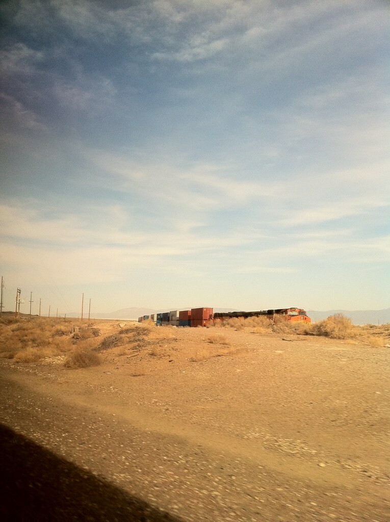
車窓からの風景 1
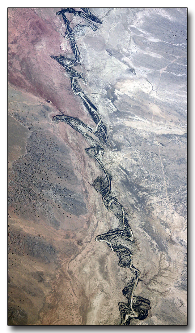
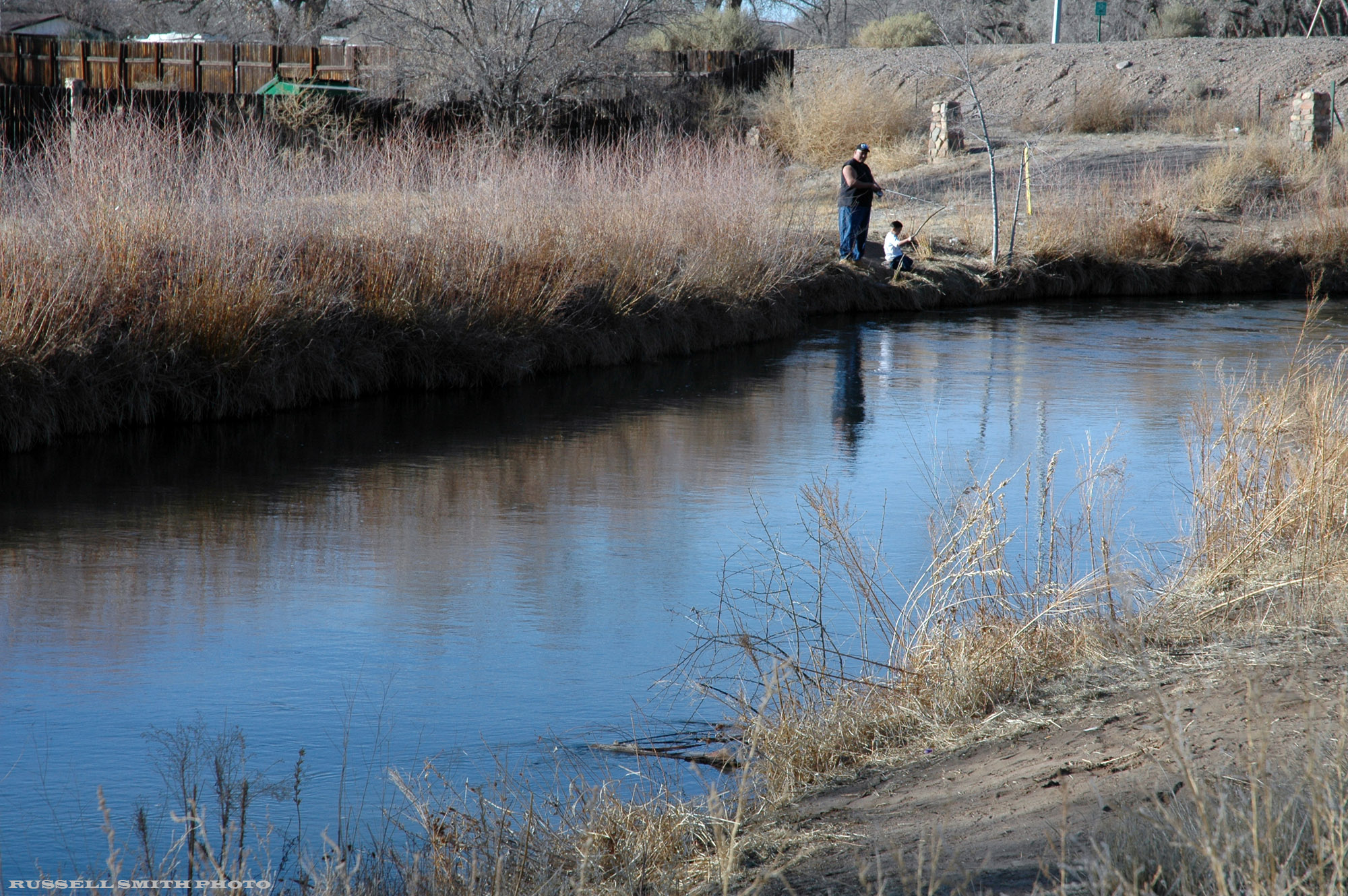
Rio Grande Tributary

Our Belen Neighbors
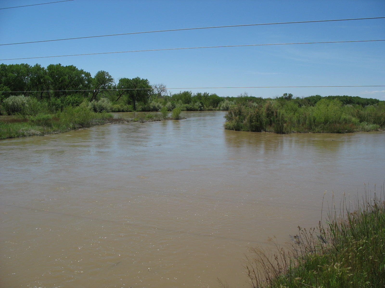
The River

Lightly powdered mountians
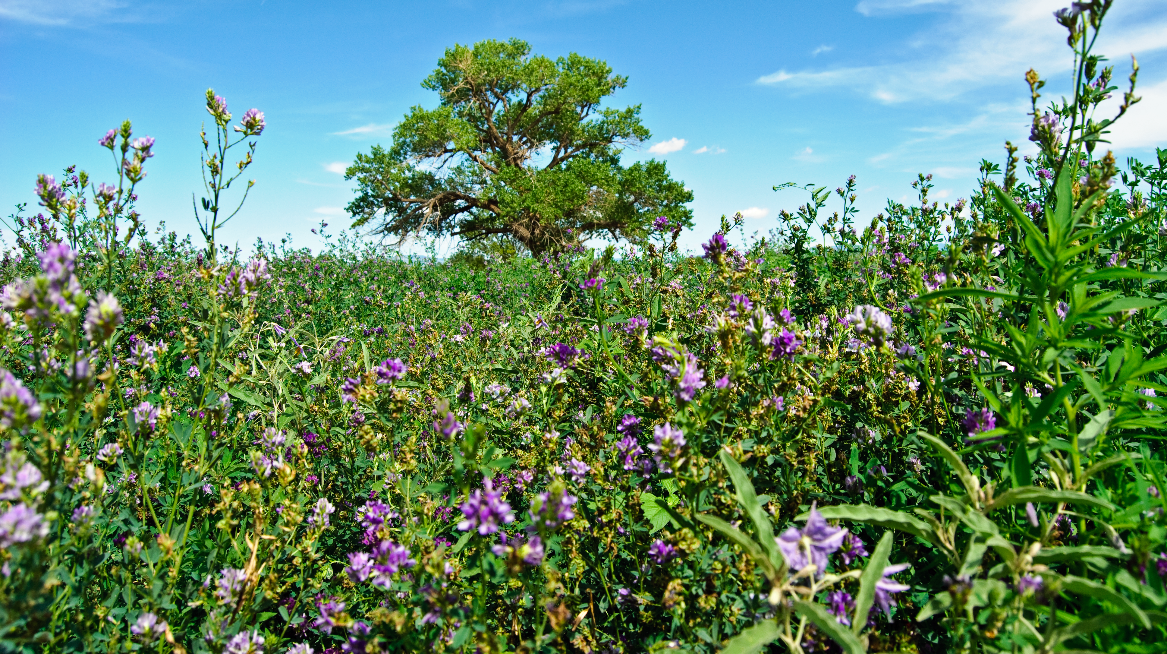
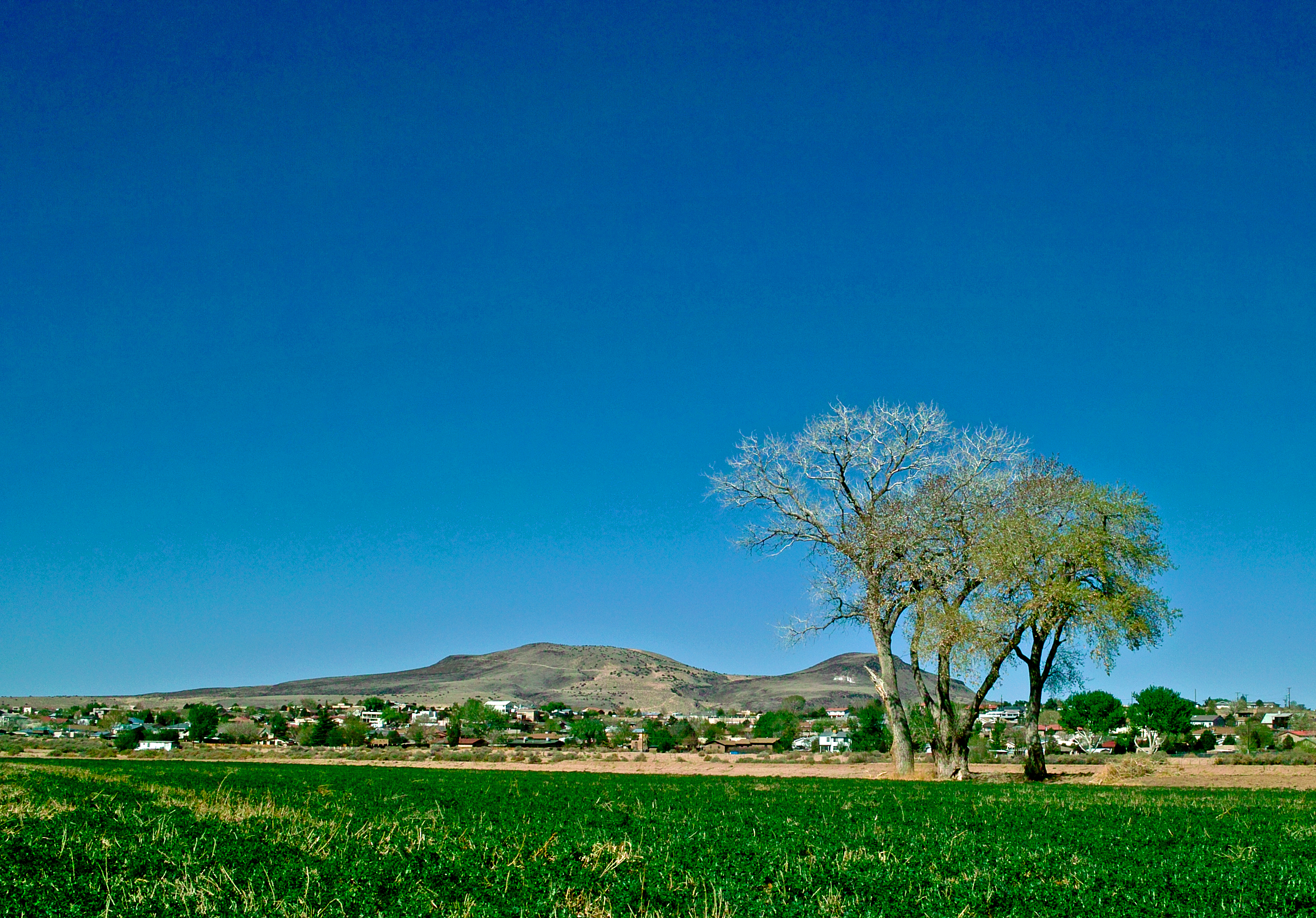
Lone Cottonwood IV

Unsettled Air
Topographic Map of Don Felipe Rd, Belen, NM, USA
Find elevation by address:

Places near Don Felipe Rd, Belen, NM, USA:
Belen
9 Eusebio Rd, Belen, NM, USA
Sunrise Bluffs
NM-, Belen, NM, USA
40 Fermin Chavez Rd
33 Edmundo Rd
Los Trujillos-gabaldon
2 Salado Ave
345 Gorman Ave
Los Chavez
Tome-adelino
La Entrada Rd, Los Lunas, NM, USA
El Cerro
Tome
10 Proverbs Pl
Rio Communities North
56 Pauls Pl
5 Vista Del Oeste
1 Vista Del Cerro Dr
Valencia County
Recent Searches:
- Elevation of Groblershoop, South Africa
- Elevation of Power Generation Enterprises | Industrial Diesel Generators, Oak Ave, Canyon Country, CA, USA
- Elevation of Chesaw Rd, Oroville, WA, USA
- Elevation of N, Mt Pleasant, UT, USA
- Elevation of 6 Rue Jules Ferry, Beausoleil, France
- Elevation of Sattva Horizon, 4JC6+G9P, Vinayak Nagar, Kattigenahalli, Bengaluru, Karnataka, India
- Elevation of Great Brook Sports, Gold Star Hwy, Groton, CT, USA
- Elevation of 10 Mountain Laurels Dr, Nashua, NH, USA
- Elevation of 16 Gilboa Ln, Nashua, NH, USA
- Elevation of Laurel Rd, Townsend, TN, USA