Elevation of 40 Fermin Chavez Rd, Belen, NM, USA
Location: United States > New Mexico > Valencia County > Los Trujillos-gabaldon >
Longitude: -106.75384
Latitude: 34.651462
Elevation: 1464m / 4803feet
Barometric Pressure: 85KPa
Elevation Map:
Satellite Map:
Related Photos:

The Tracks

Red Phalarope

Red Phalarope

Red Phalarope
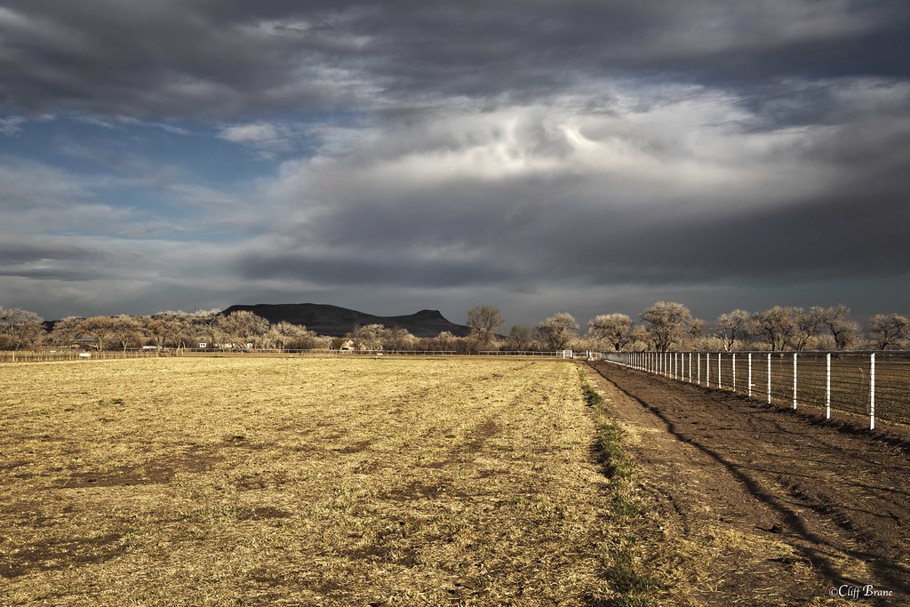
Fence, Field and Cottonwood Trees in Morning Sun - Valencia County, NM

Snow in the Manzanos
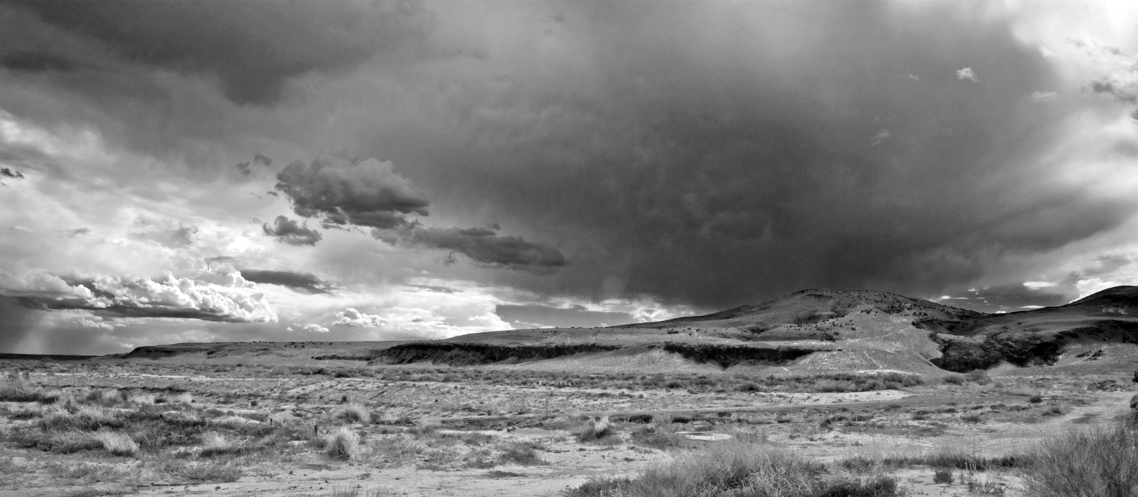
High Desert Mesa Storm Clouds II bw

Flood Irrigation - Farm Field Valencia County New Mexico
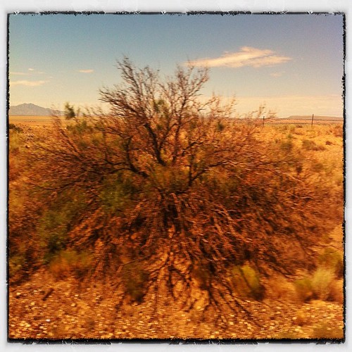
bit'o'bush

Desert...
Willie Chavez RV Park _4582
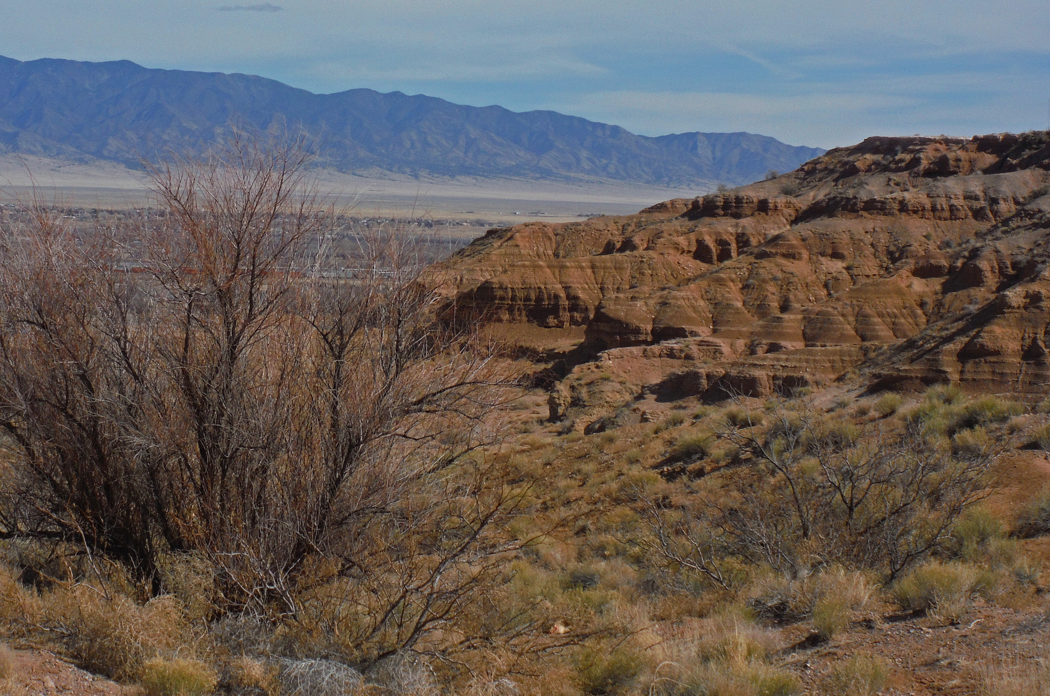
Rough Country Near Belen NM
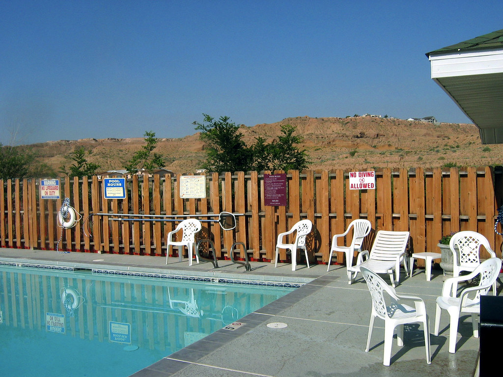
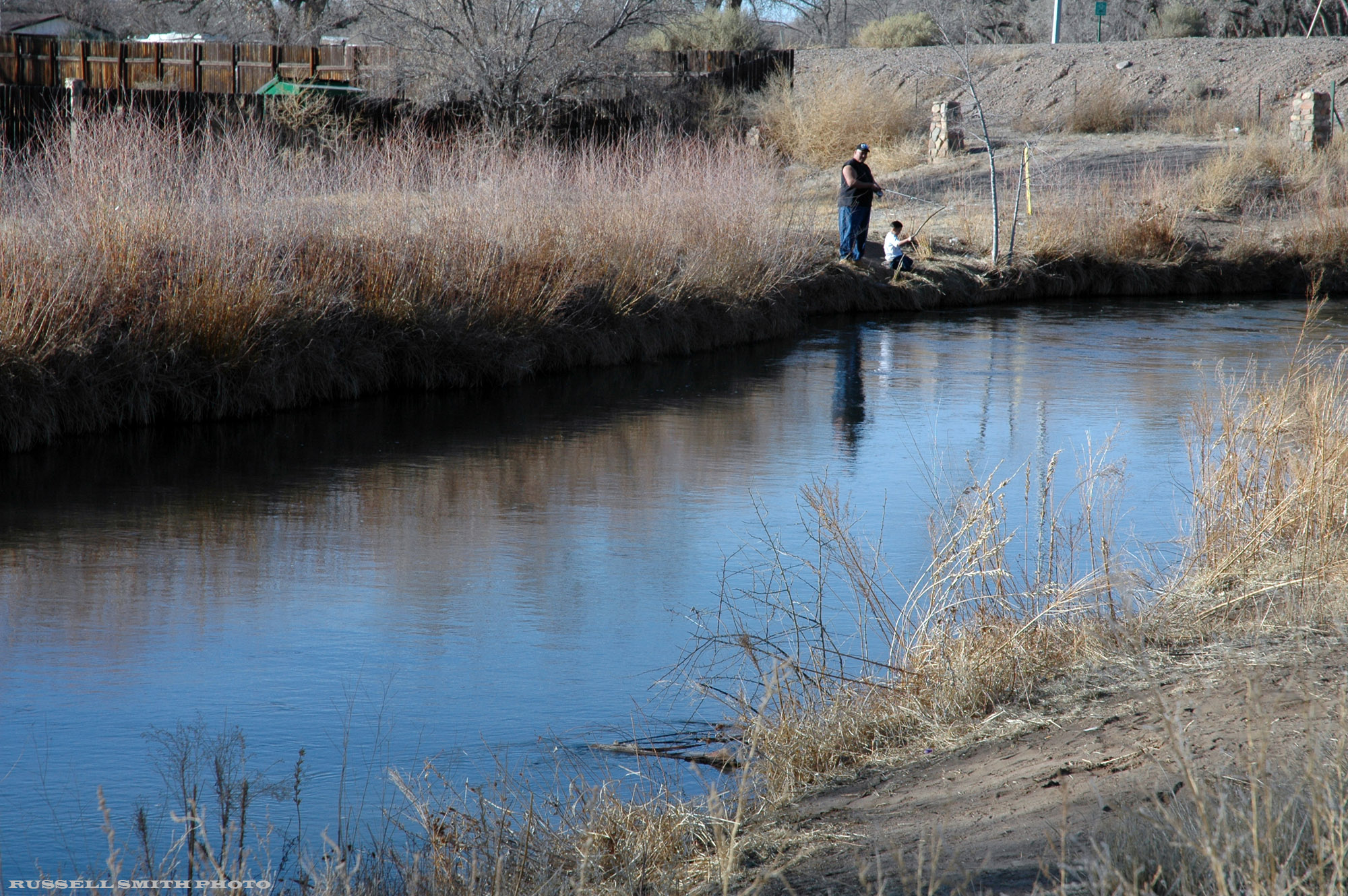
Oasis in Belen
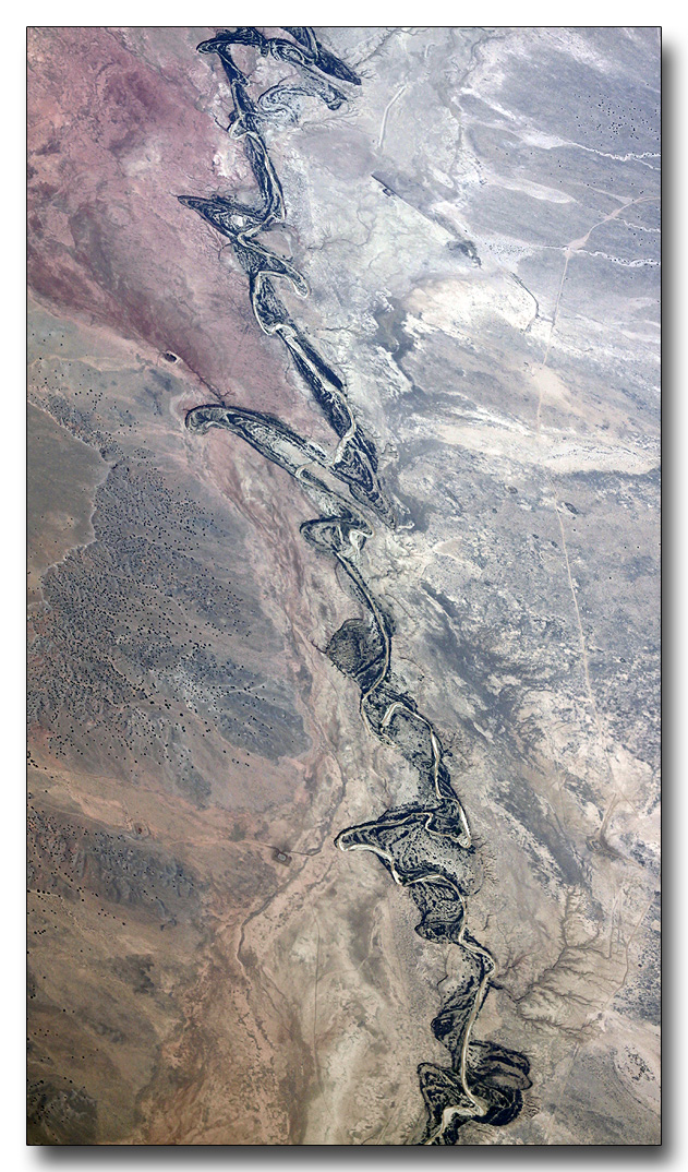
Rio Grande Tributary

Our Belen Neighbors
Topographic Map of 40 Fermin Chavez Rd, Belen, NM, USA
Find elevation by address:

Places near 40 Fermin Chavez Rd, Belen, NM, USA:
Los Trujillos-gabaldon
Belen
NM-, Belen, NM, USA
867 Don Felipe Rd
345 Gorman Ave
2 Salado Ave
9 Eusebio Rd, Belen, NM, USA
Sunrise Bluffs
33 Edmundo Rd
Los Chavez
La Entrada Rd, Los Lunas, NM, USA
El Cerro
Tome-adelino
10 Proverbs Pl
Tome
Rio Communities North
Valencia County
5 Vista Del Oeste
1 Vista Del Cerro Dr
56 Pauls Pl
Recent Searches:
- Elevation of Congressional Dr, Stevensville, MD, USA
- Elevation of Bellview Rd, McLean, VA, USA
- Elevation of Stage Island Rd, Chatham, MA, USA
- Elevation of Shibuya Scramble Crossing, 21 Udagawacho, Shibuya City, Tokyo -, Japan
- Elevation of Jadagoniai, Kaunas District Municipality, Lithuania
- Elevation of Pagonija rock, Kranto 7-oji g. 8"N, Kaunas, Lithuania
- Elevation of Co Rd 87, Jamestown, CO, USA
- Elevation of Tenjo, Cundinamarca, Colombia
- Elevation of Côte-des-Neiges, Montreal, QC H4A 3J6, Canada
- Elevation of Bobcat Dr, Helena, MT, USA