Elevation map of Dolores County, CO, USA
Location: United States > Colorado >
Longitude: -108.52257
Latitude: 37.7530272
Elevation: 2534m / 8314feet
Barometric Pressure: 74KPa
Elevation Map:
Satellite Map:
Related Photos:
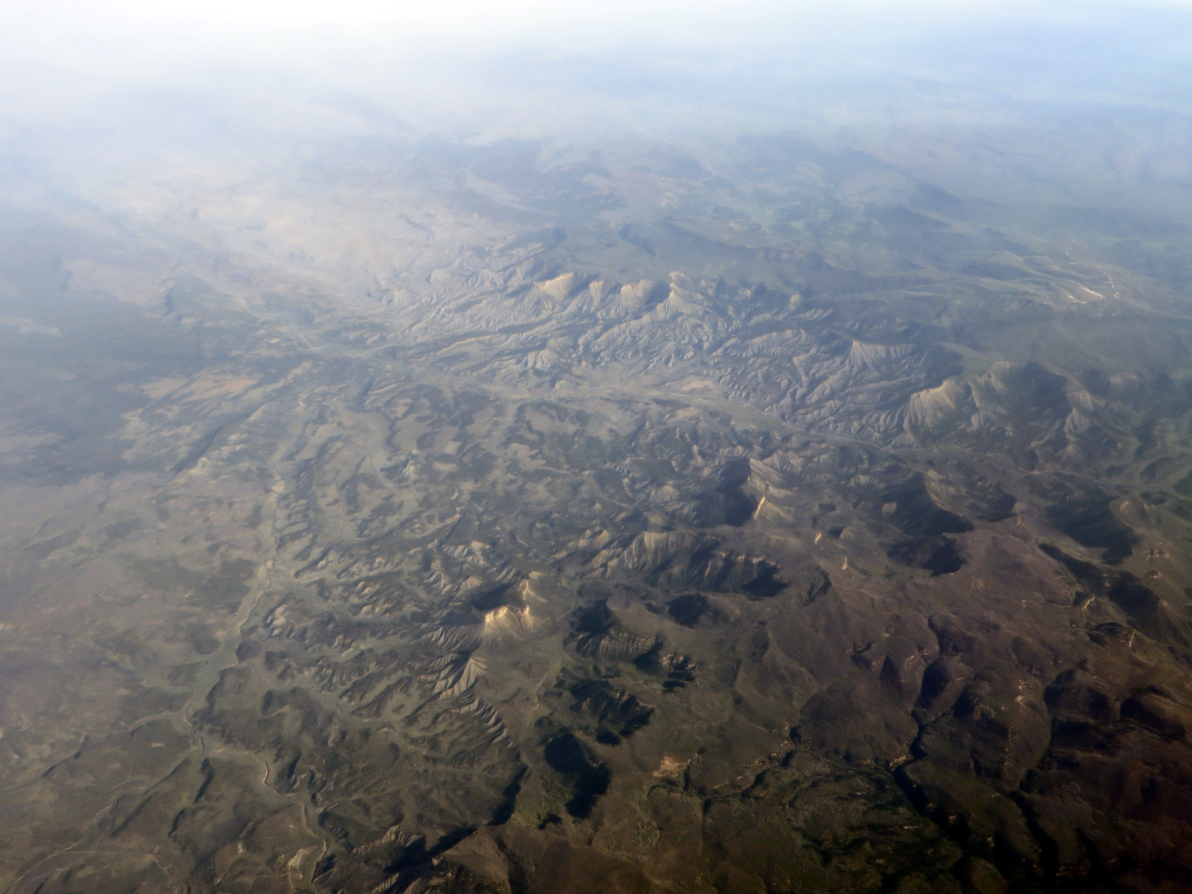
Western Colorado East of the San Juan Mountains
Topographic Map of Dolores County, CO, USA
Find elevation by address:

Places in Dolores County, CO, USA:
Places near Dolores County, CO, USA:
Disappointment Road
Road Cc
Bald Hill
Dolores, CO, USA
Groundhog Lake Rv Park And Campground
23658 Road 37
23110 Co-145
Stoner
30981 V 6
14663 County Rd N
18972 Rd 25.8
The Views Rv Park & Campground
18282 Rd 22
1005 Hillside Ave
Dolores
CO-, Dolores, CO, USA
Rustic Style Furniture
Rd W, Lewis, CO, USA
US-, Pleasant View, CO, USA
Lewis
Recent Searches:
- Elevation of Corso Fratelli Cairoli, 35, Macerata MC, Italy
- Elevation of Tallevast Rd, Sarasota, FL, USA
- Elevation of 4th St E, Sonoma, CA, USA
- Elevation of Black Hollow Rd, Pennsdale, PA, USA
- Elevation of Oakland Ave, Williamsport, PA, USA
- Elevation of Pedrógão Grande, Portugal
- Elevation of Klee Dr, Martinsburg, WV, USA
- Elevation of Via Roma, Pieranica CR, Italy
- Elevation of Tavkvetili Mountain, Georgia
- Elevation of Hartfords Bluff Cir, Mt Pleasant, SC, USA