Elevation of Doghobble Dr, Franklin, NC, USA
Location: United States > North Carolina > Macon County > Franklin > Franklin >
Longitude: -83.358944
Latitude: 35.2651166
Elevation: 724m / 2375feet
Barometric Pressure: 93KPa
Elevation Map:
Satellite Map:
Related Photos:

Steaming Toward Fontana
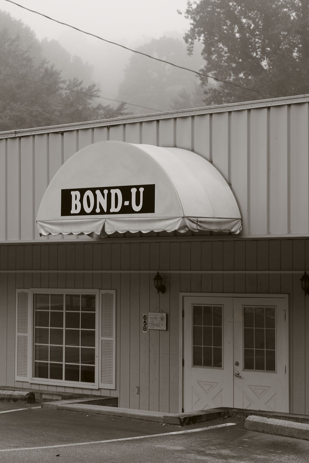
For when U need it

Fringed Phacelia

Cowee Bald Fire Tower - North Carolina

Mountain View, Speedwell, NC

Mountain Sun

Webster Baptist Church, Webster, NC

Webster Baptist Church, Webster, NC

The Cowee Mountains.

Mountain View, Speedwell, NC

Mountain Hiking

Webster Baptist Church, Webster, NC

Webster Baptist Church, Webster, NC

Webster Baptist Church, Webster, NC

Webster Baptist Church, Webster, NC

Fire Pink

Webster Baptist Church, Webster, NC

Dillsboro Bridge, Tuckasegee River, Dillsboro, North Carolina

Webster Baptist Church, Webster, NC

Webster Baptist Church, Webster, NC

Webster Baptist Church, Webster, NC

Town and country

Between the river and the fog
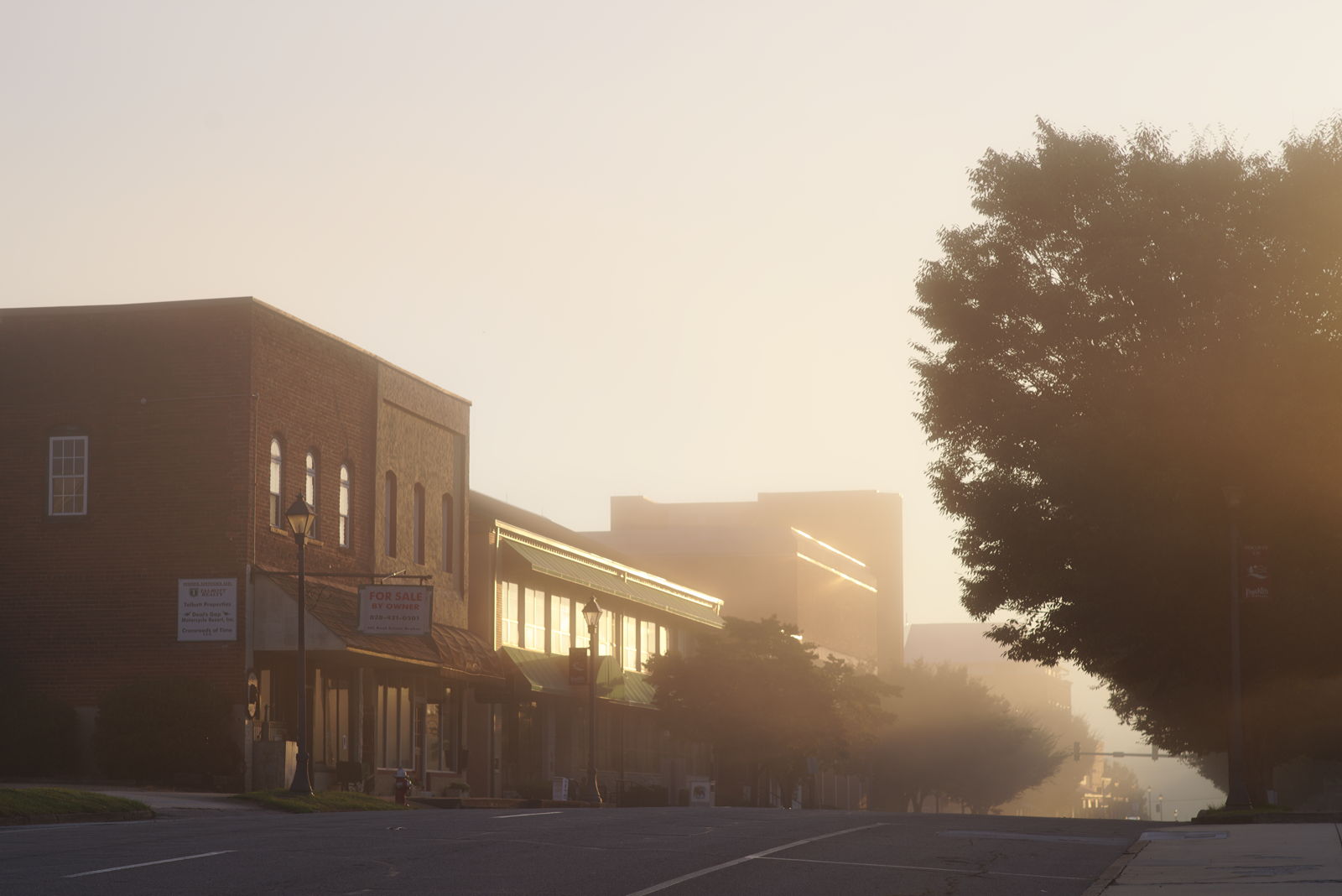
Morning on Main Street

Smoky Mountains

PrrysWtrGrdn_0817_edit.jpg

The Curve
The road at the end of the falls

Fields of Gold | Franklin, NC

Ruby City

GSMR GP9 1755 at Dillsboro

Jackson County Airport 24A in Cullowhee, NC
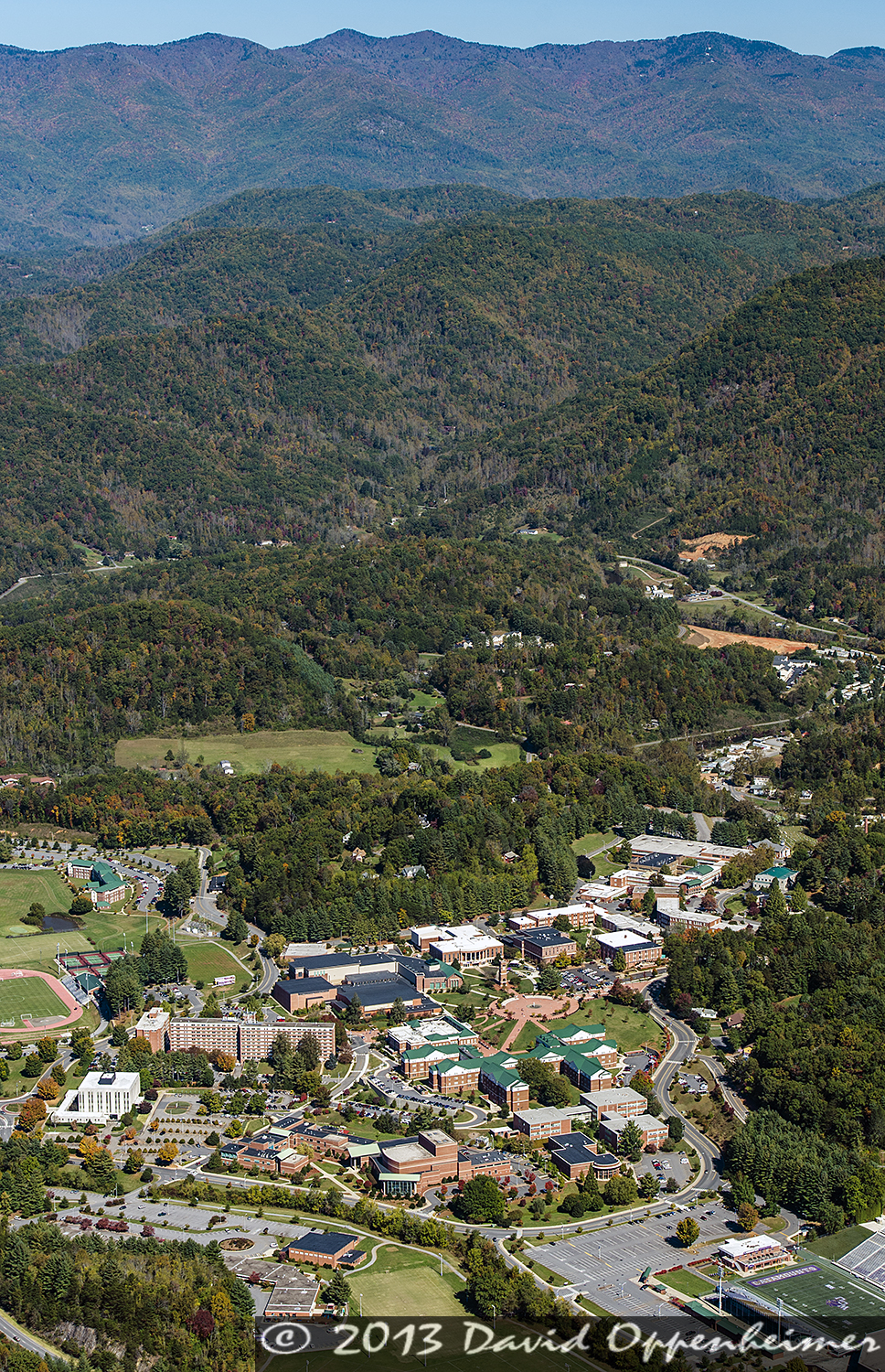
Western Carolina University Campus
Franklin, North Carolina

Jackson County Airport 24A in Cullowhee, NC

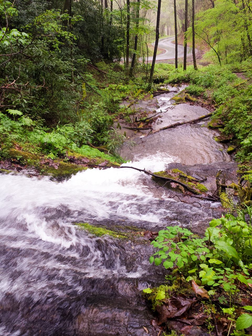
Alarka Falls

Jackson County Airport 24A in Cullowhee, NC

GSMR 777, Whittier, NC
Mountain Roads

Marshy area in Franklin NC

Alarka Falls
Topographic Map of Doghobble Dr, Franklin, NC, USA
Find elevation by address:

Places near Doghobble Dr, Franklin, NC, USA:
13 Lenten Rose
193 Holbrook Hill Dr
437 Dalton Creek Rd
625 Dalton Creek Rd
129 Macs Mountain Retreat Ln
2717 Ruby Mine Rd
606 Orenda Dr
Orenda Drive
Roy Cook Road
374 Cowee View Ln
588 Sisk Branch Rd
168 Saddle Up Dr
829 Thompson Rd
82 Beasley Mine Rd
128 Paul Hurst Rd
1389 Flowers Gap Rd
Upper Dalton Creek Road
1209 Chinquapin Mountain Rd
481 Coon Creek Rd
Coon Creek Road
Recent Searches:
- Elevation of Lampiasi St, Sarasota, FL, USA
- Elevation of Elwyn Dr, Roanoke Rapids, NC, USA
- Elevation of Congressional Dr, Stevensville, MD, USA
- Elevation of Bellview Rd, McLean, VA, USA
- Elevation of Stage Island Rd, Chatham, MA, USA
- Elevation of Shibuya Scramble Crossing, 21 Udagawacho, Shibuya City, Tokyo -, Japan
- Elevation of Jadagoniai, Kaunas District Municipality, Lithuania
- Elevation of Pagonija rock, Kranto 7-oji g. 8"N, Kaunas, Lithuania
- Elevation of Co Rd 87, Jamestown, CO, USA
- Elevation of Tenjo, Cundinamarca, Colombia