Elevation of Dalton Creek Rd, Franklin, NC, USA
Location: United States > North Carolina > Macon County > Franklin > Franklin >
Longitude: -83.363536
Latitude: 35.261719
Elevation: 690m / 2264feet
Barometric Pressure: 93KPa
Elevation Map:
Satellite Map:
Related Photos:

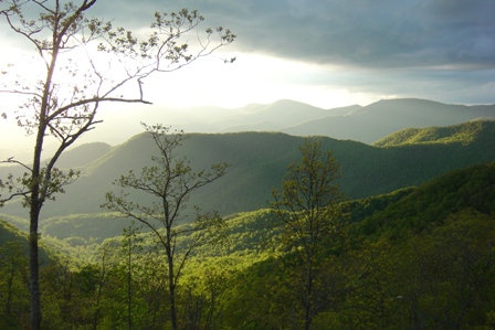
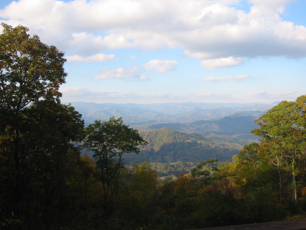
Peaceful View

Steaming Toward Fontana

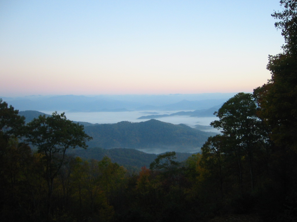
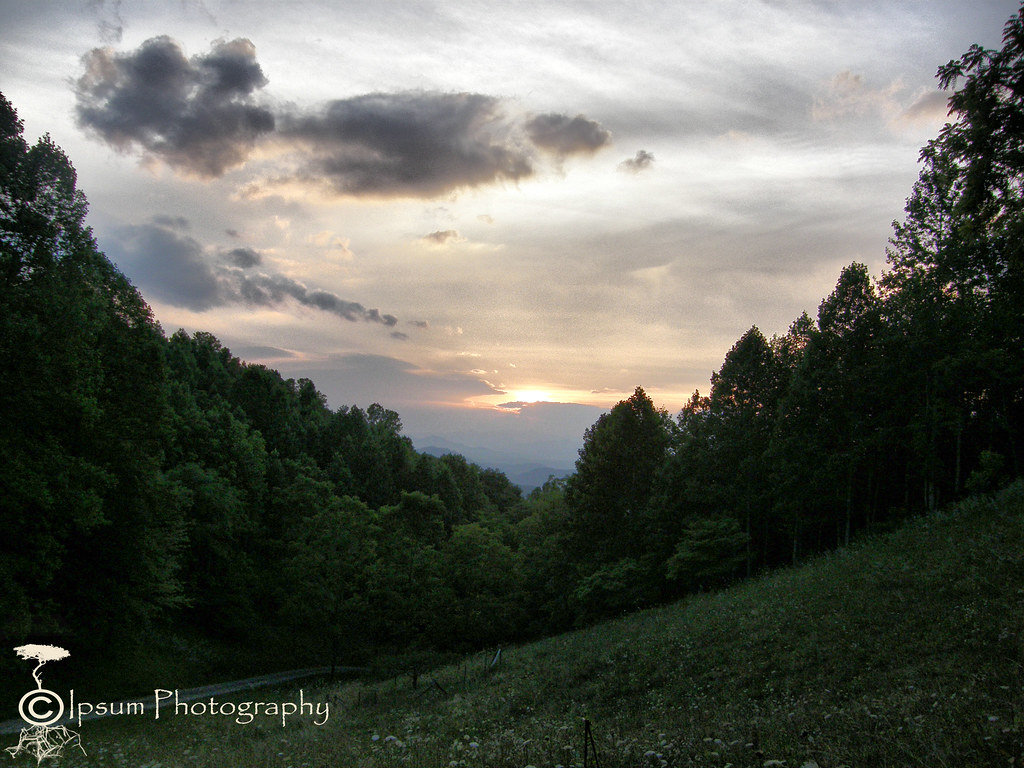
View in the evening!
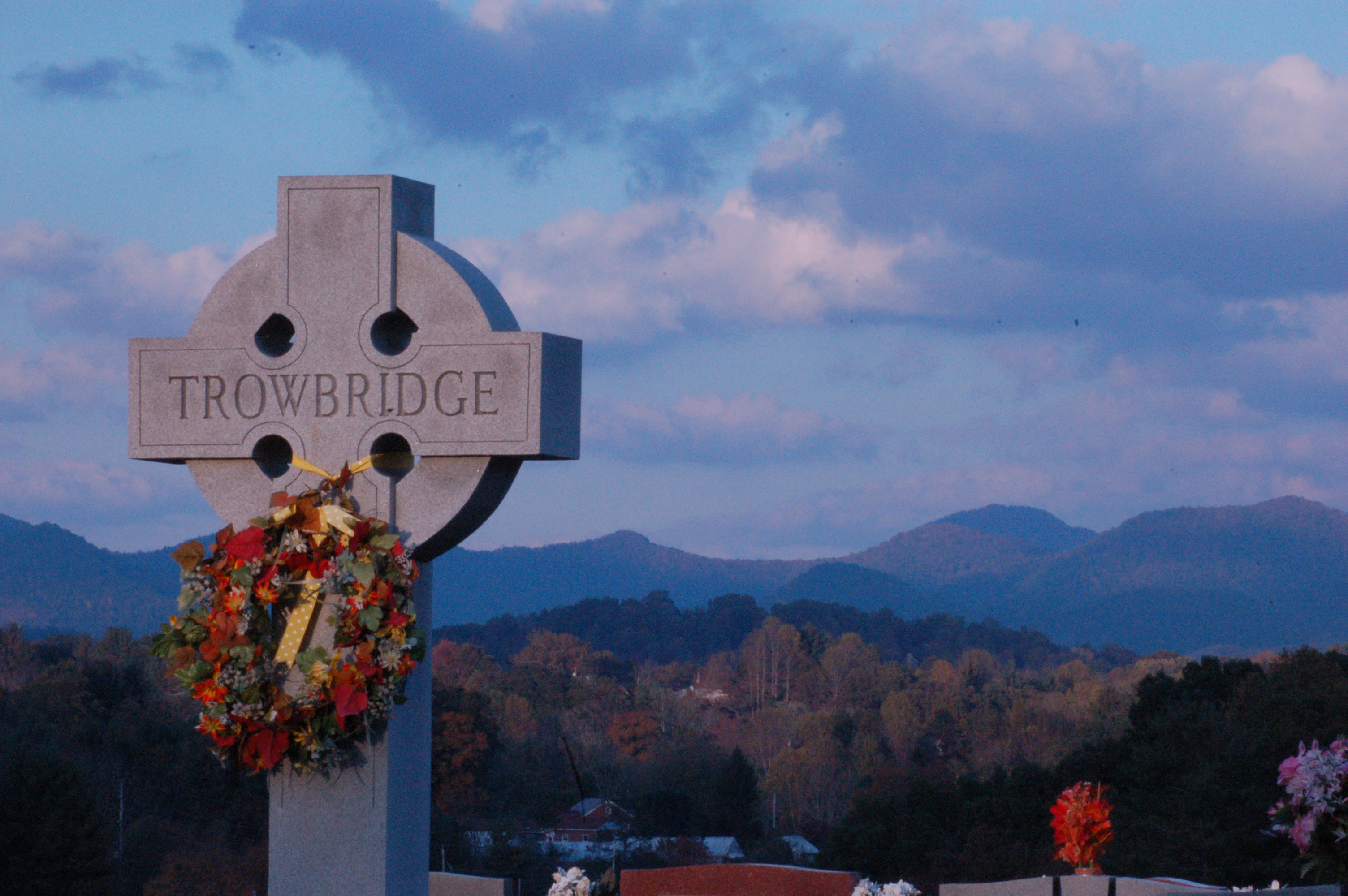
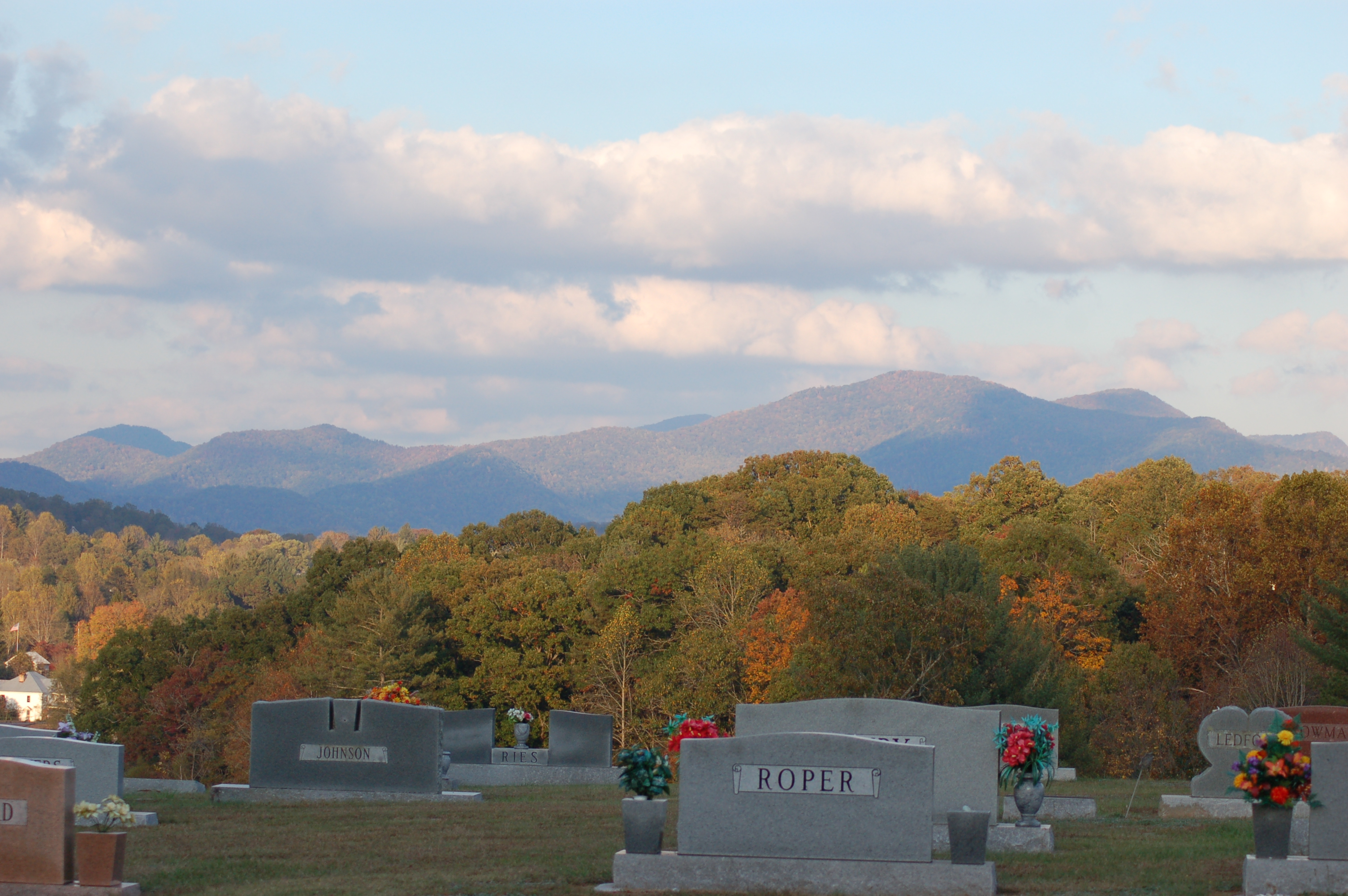
Cemetary View
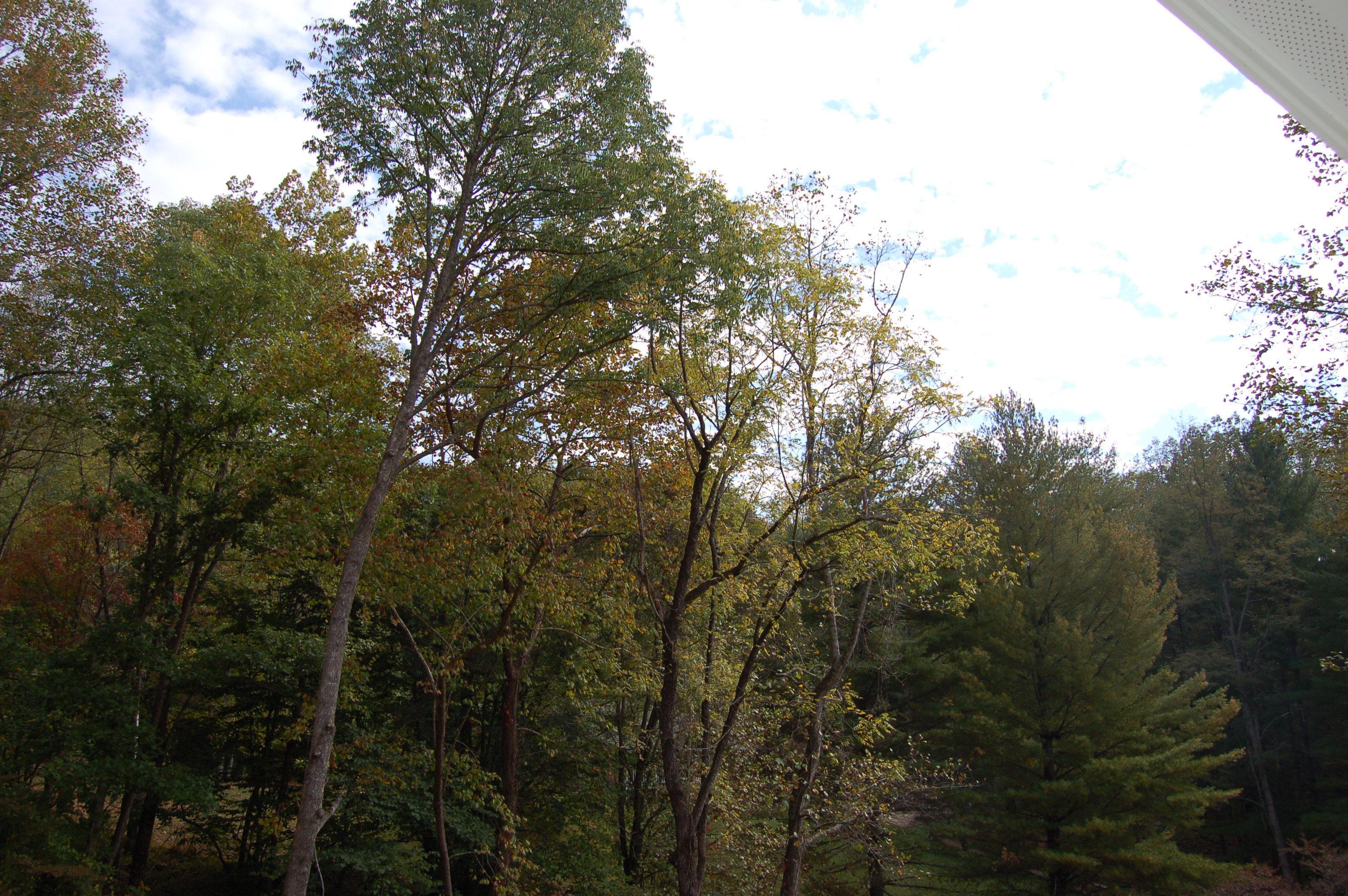
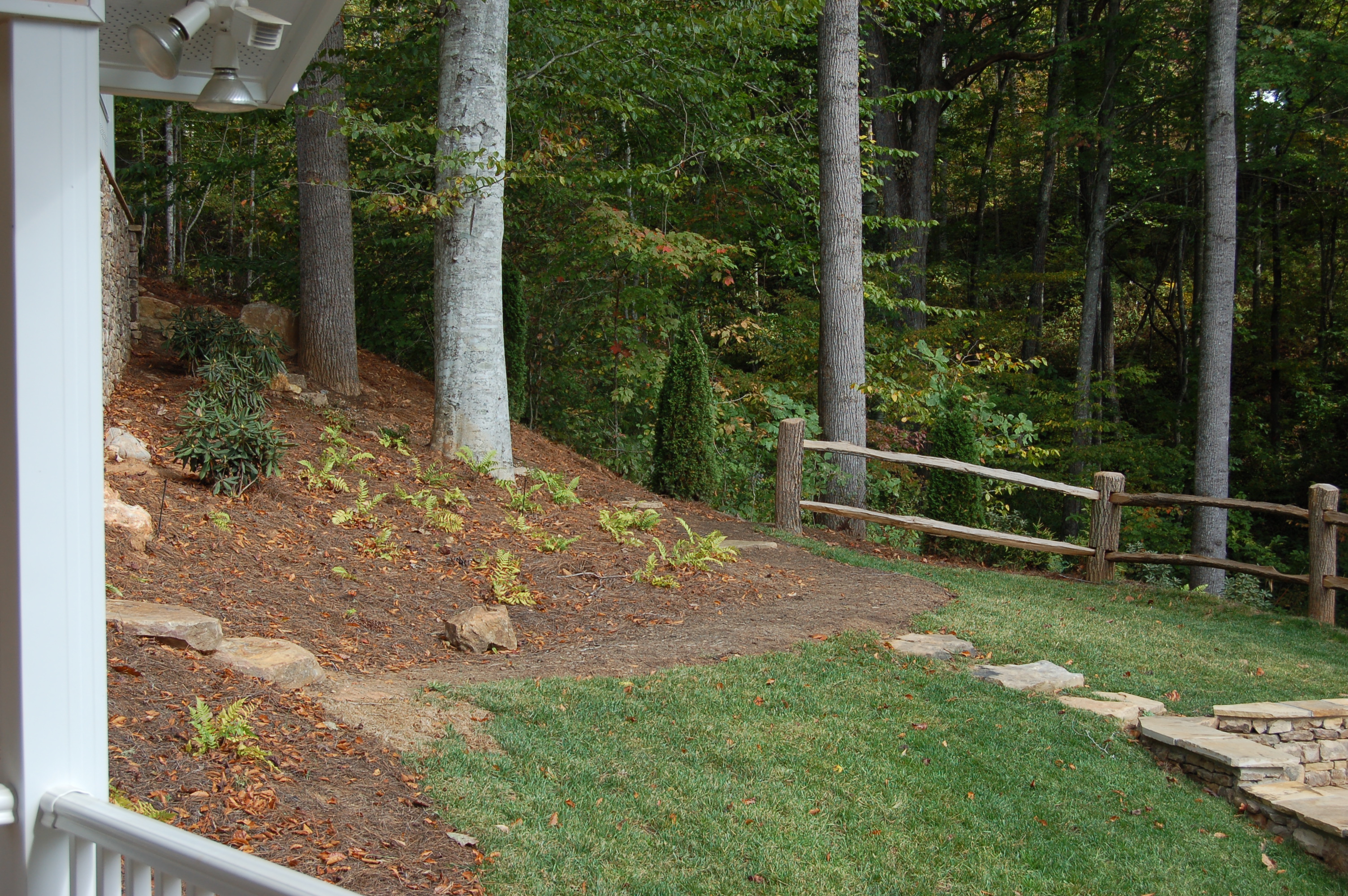
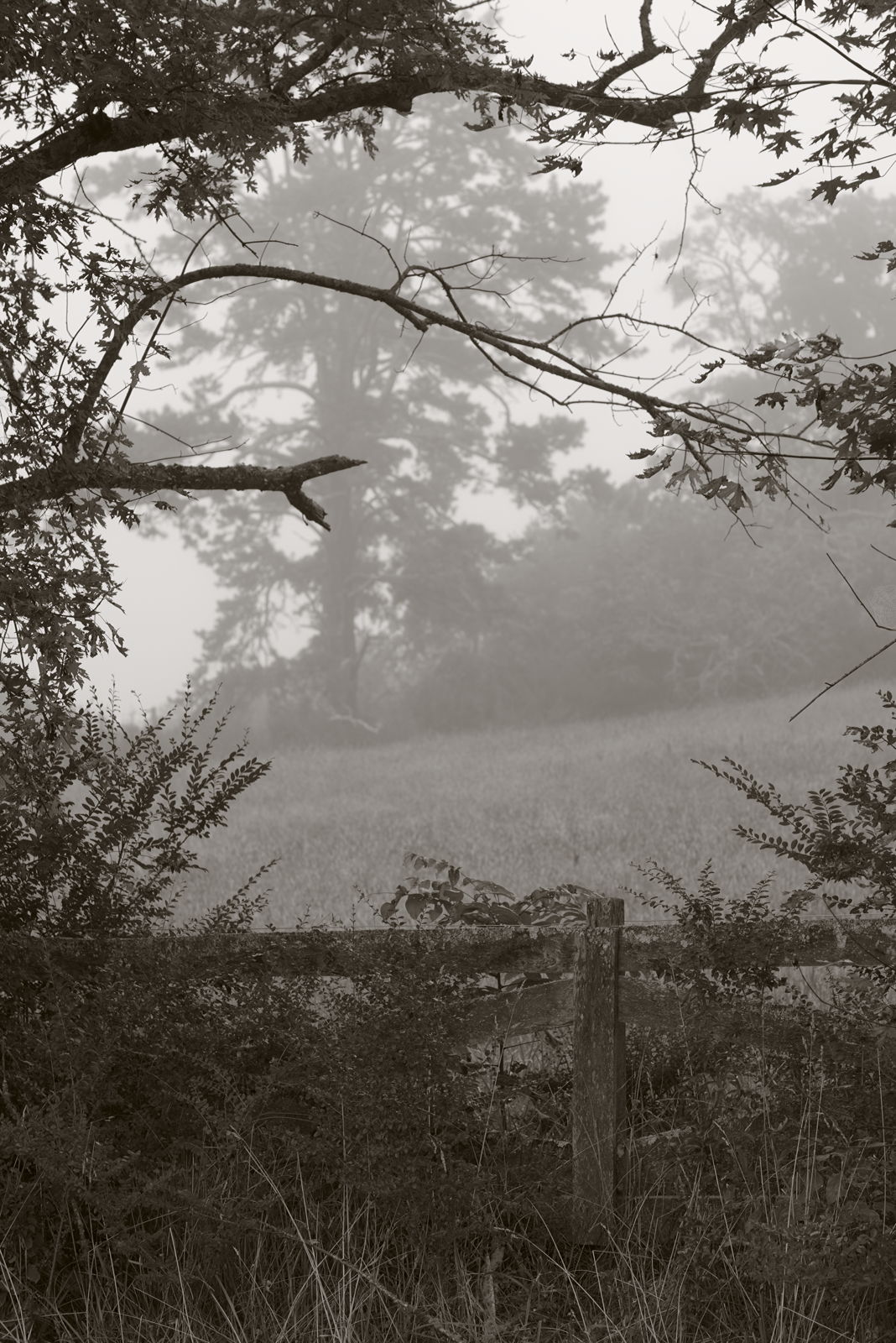
view from the road

Fire Pink

Cowee Bald Fire Tower - North Carolina
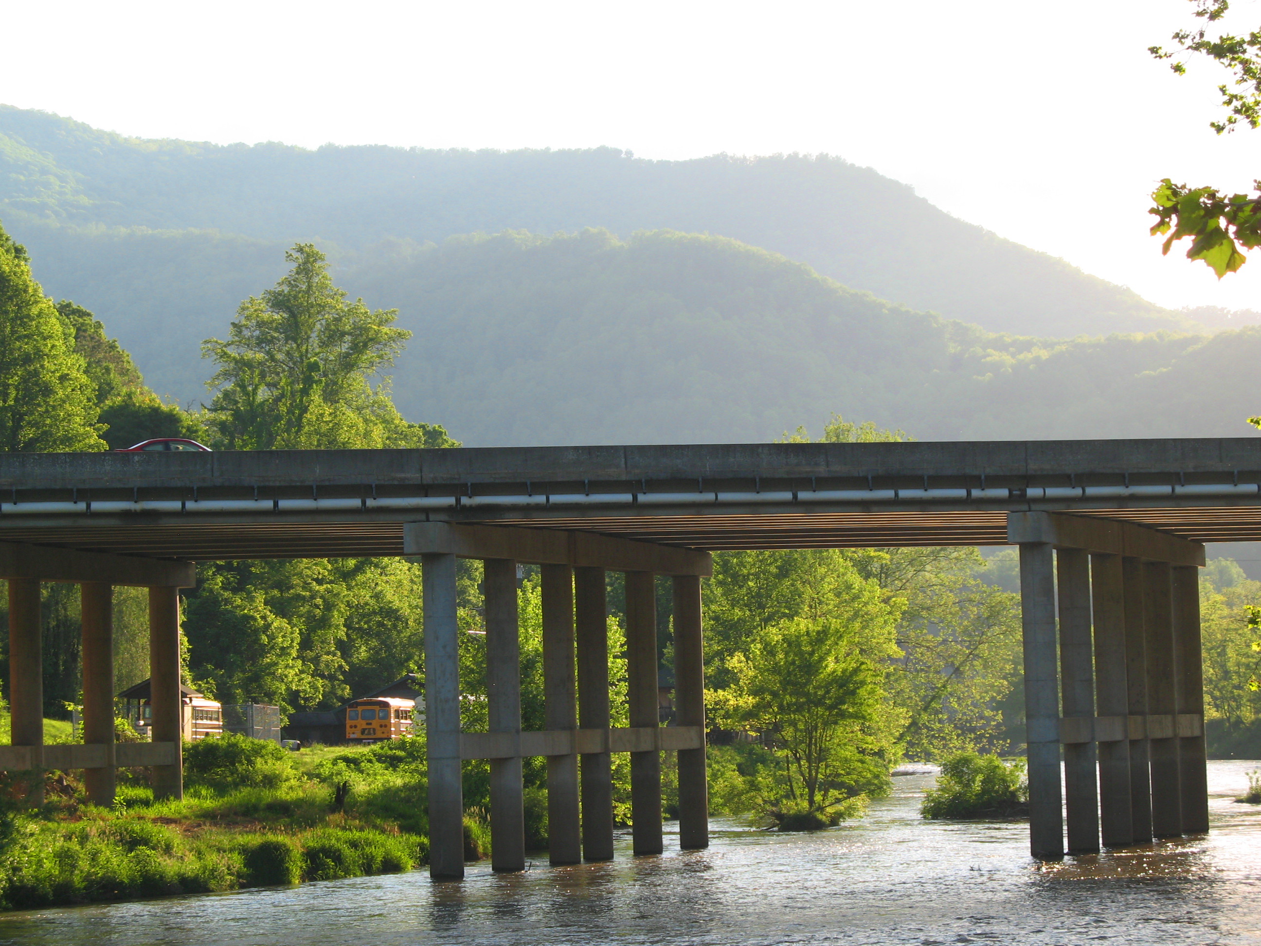
Dillsboro Bridge, Tuckasegee River, Dillsboro, North Carolina
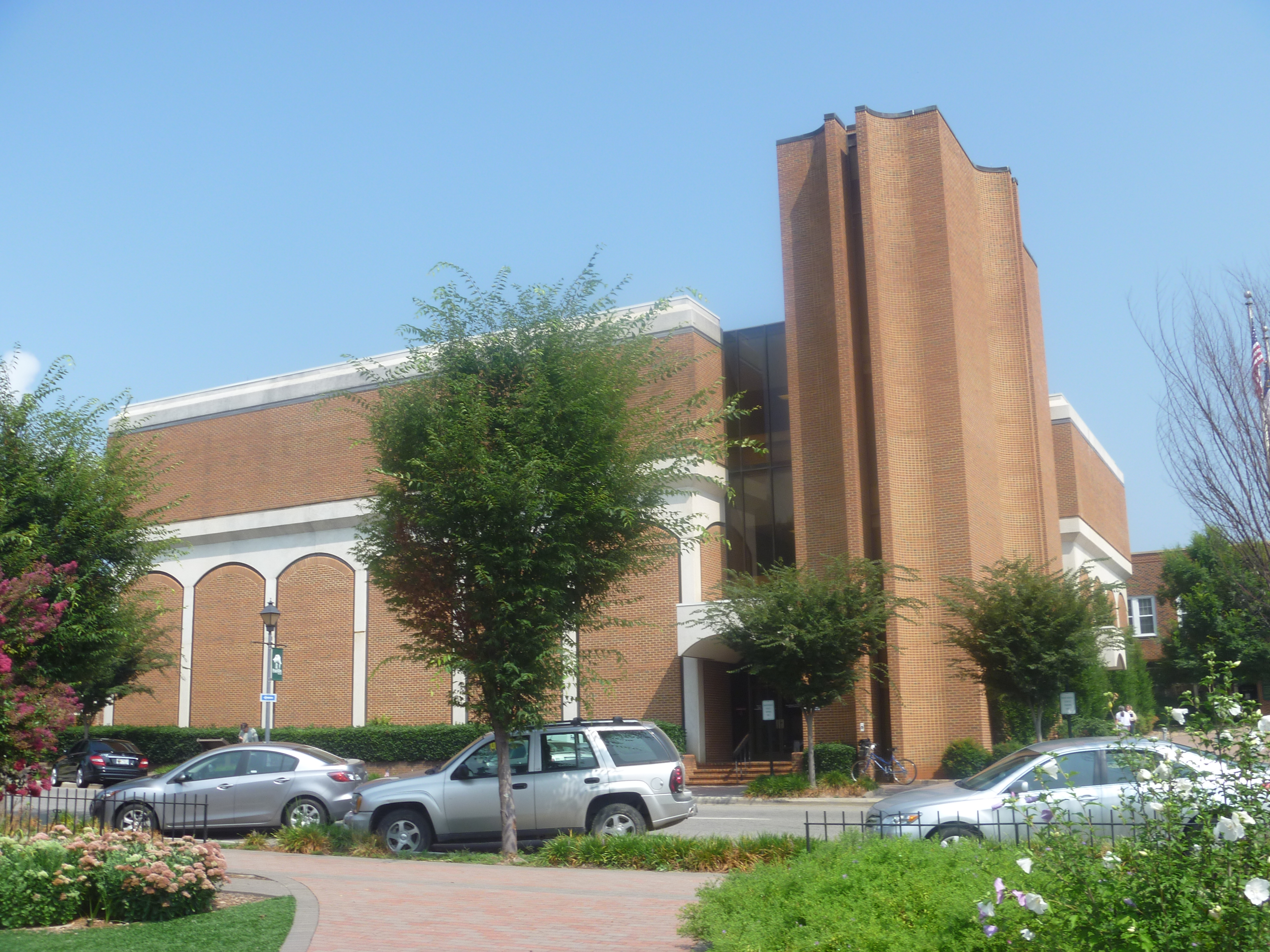
Side View Of Macon County Courthouse
Cowee Valley by Susan
Front Porch View 1
View from Al & Bill's cabin – Sylva, NC
Cemetary Ridge
View from our cabin outside Sylva, NC

Front Porch View 3
Front Porch View 2
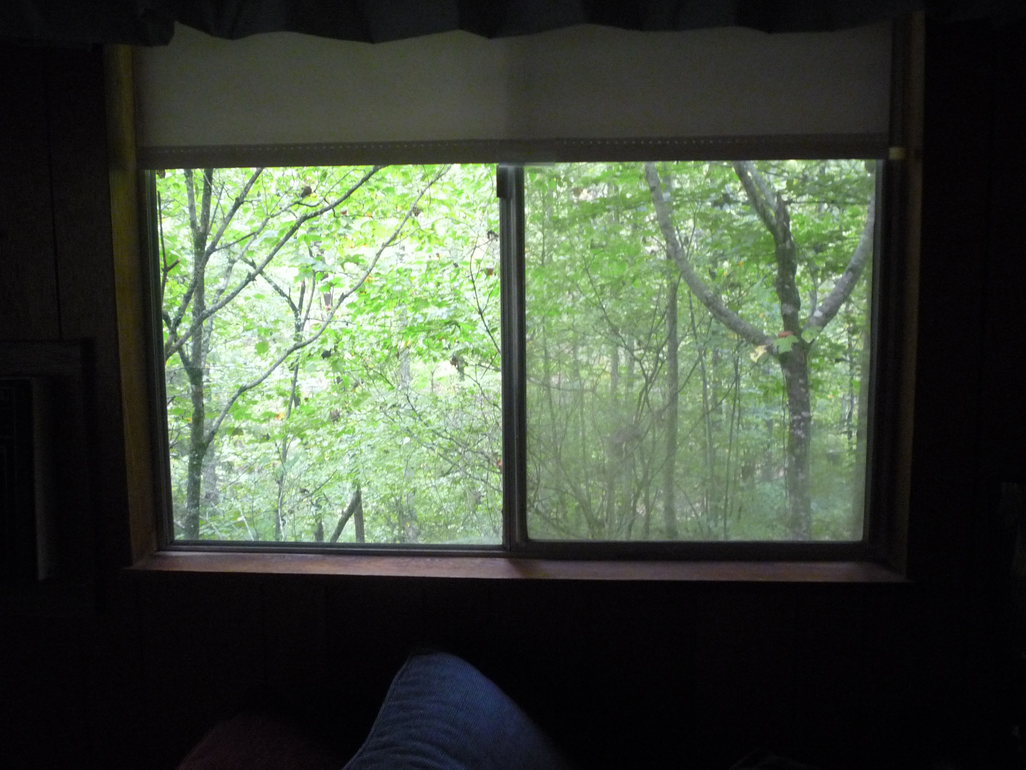
the view from our bedroom window

view from the Appalachian Trail
Mountain Sun
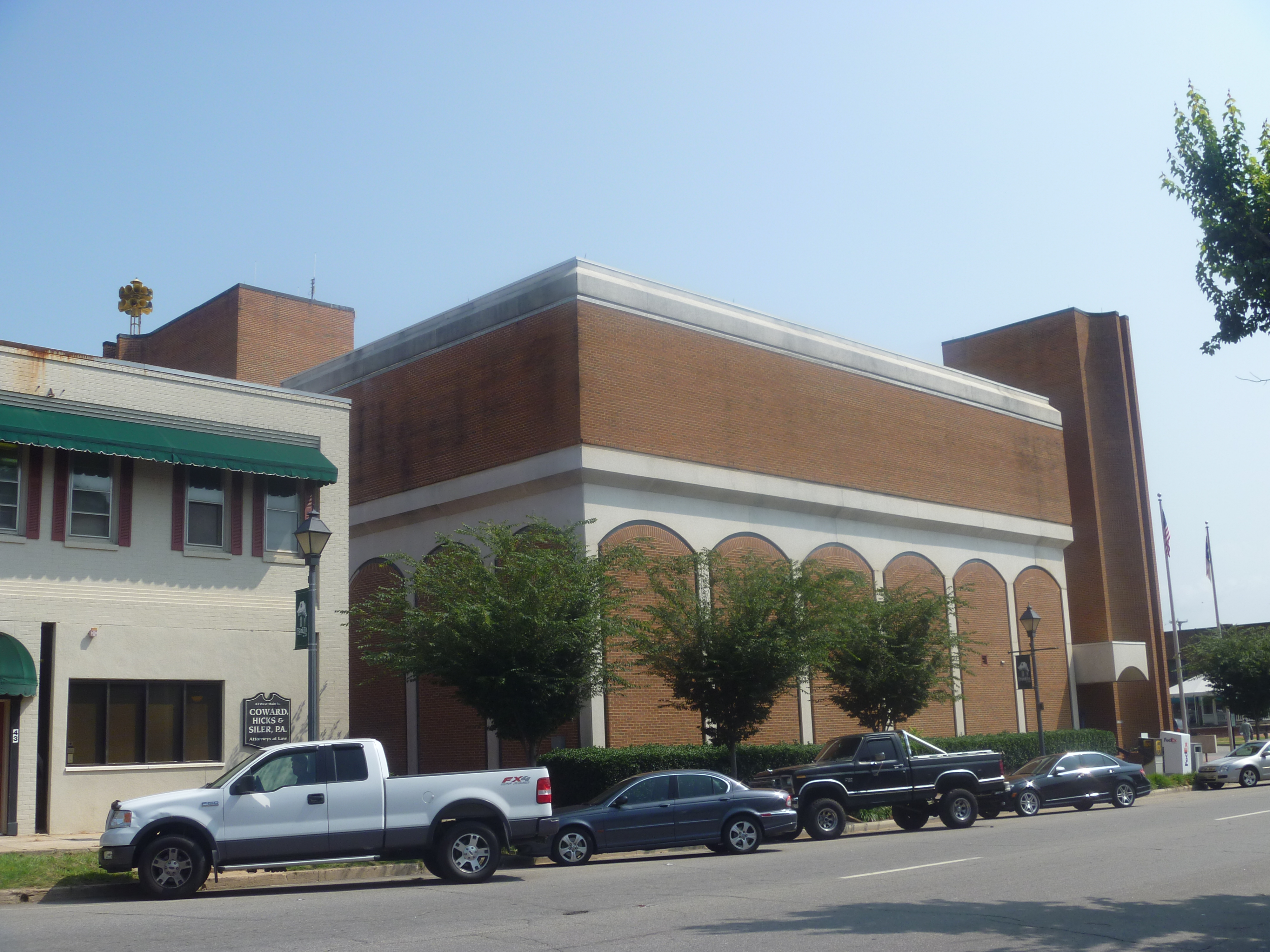
Backside View Of Macon County Courthouse
Mountain Hiking
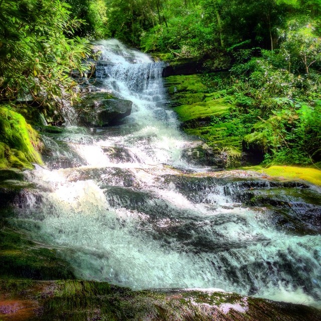
Alarka Falls #alarkafalls #brysoncity #wnc #ncwaterfalls #waterfallpics #waterfallhiking #waterfallphotography #iphotography #igersoftheday #828isgreat #blueridgecountry
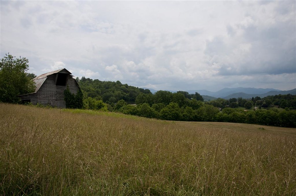
Fields of Gold | Franklin, NC

Jackson County Airport 24A in Cullowhee, NC
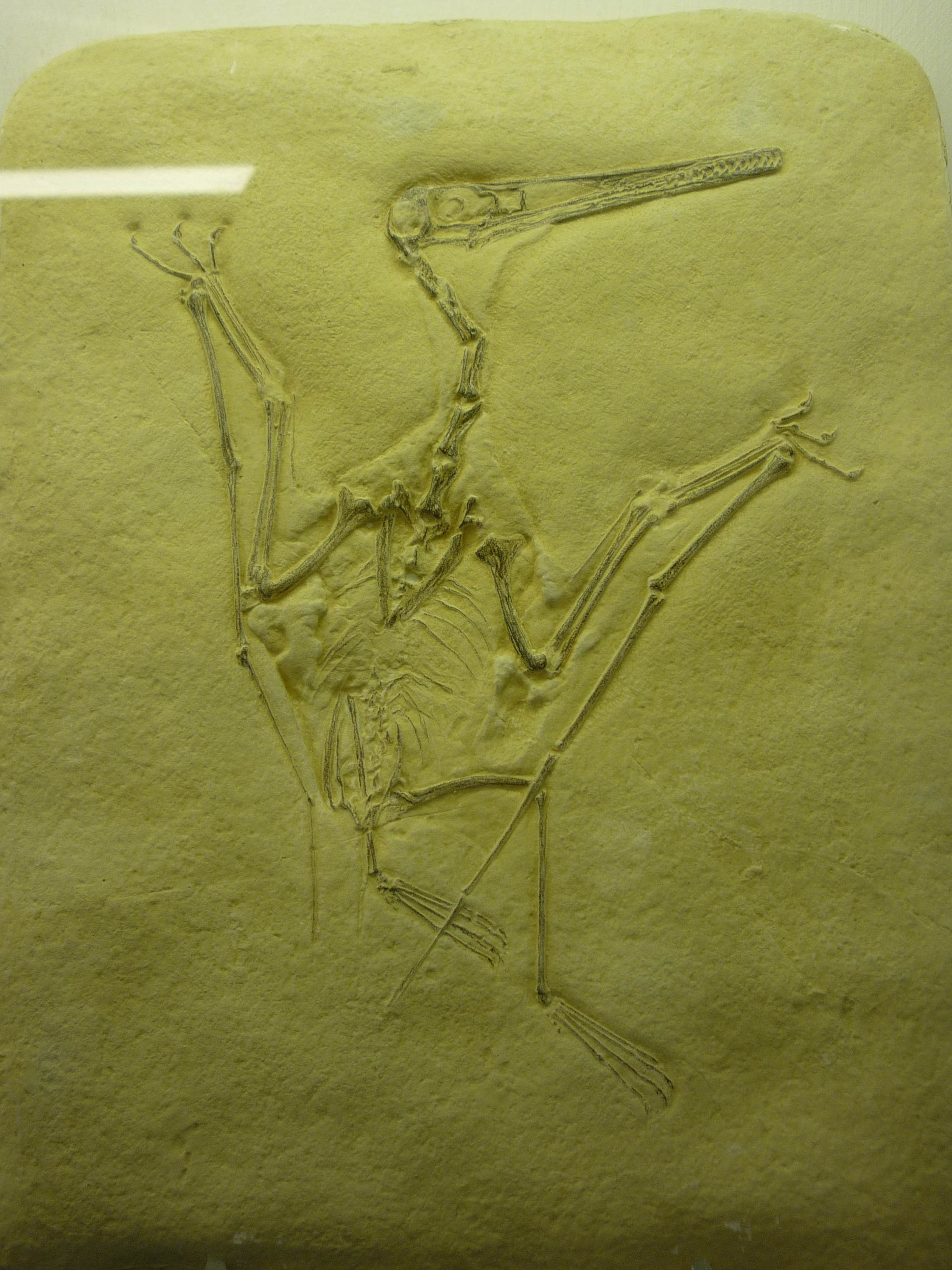
bird-like fossil
Smoky Mountains

Great Smoky Mountains of NC.
Walnut Creek Road

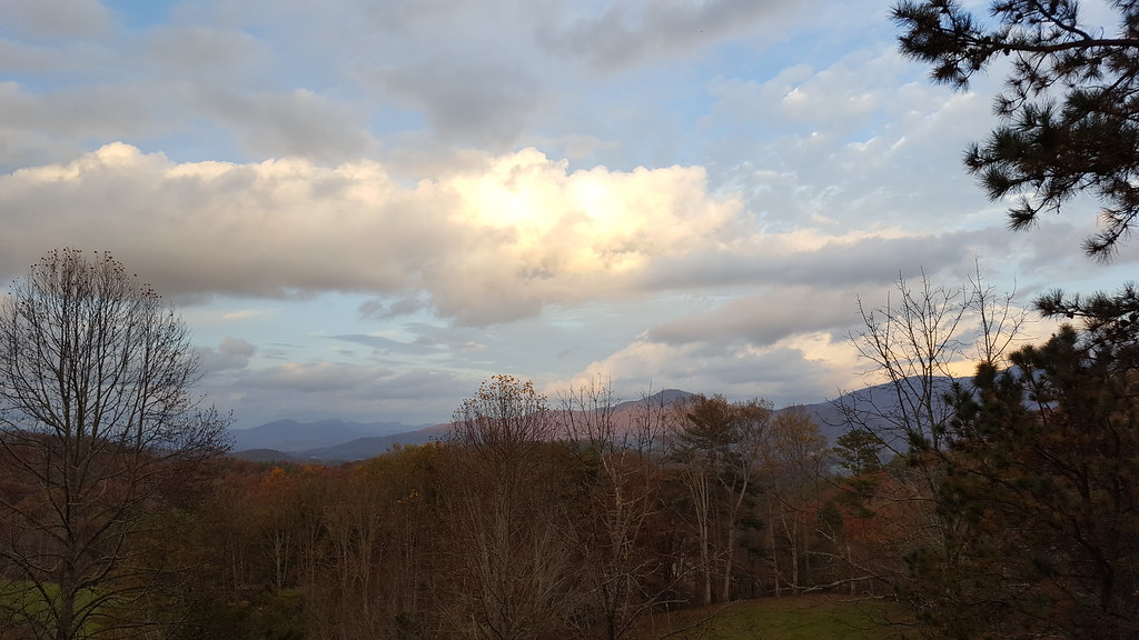
Appalachian Sunrise
Morning on Main Street
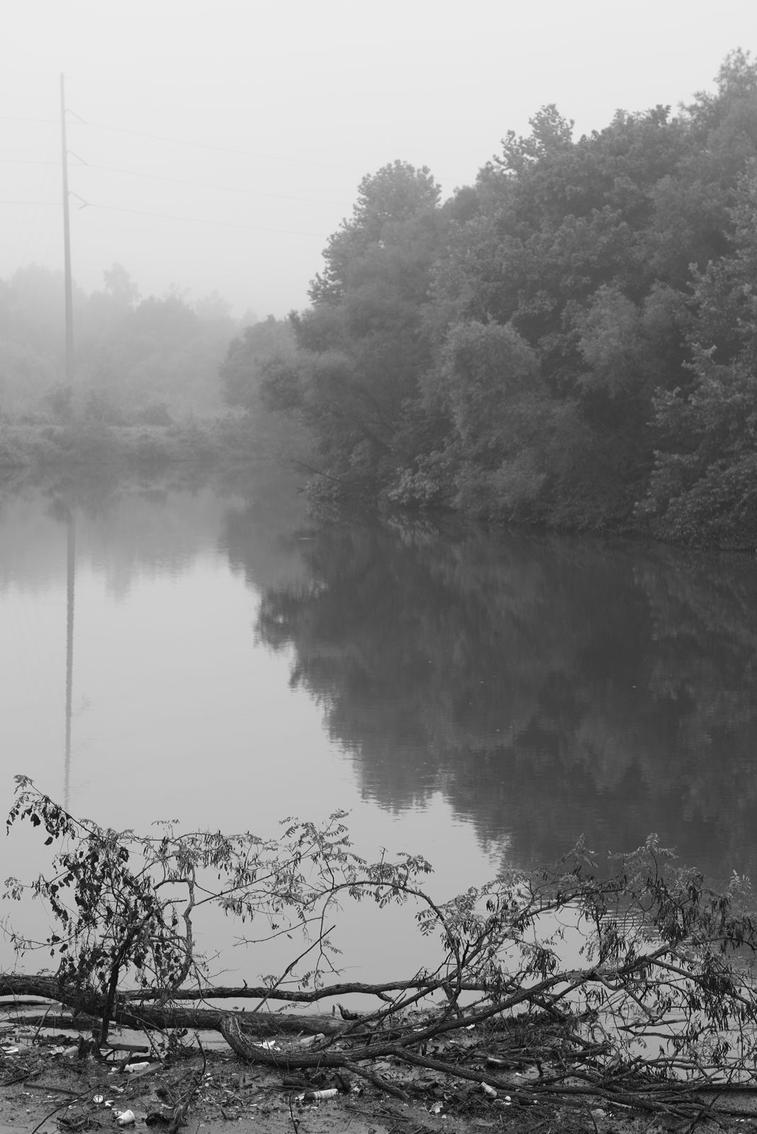
Between the river and the fog
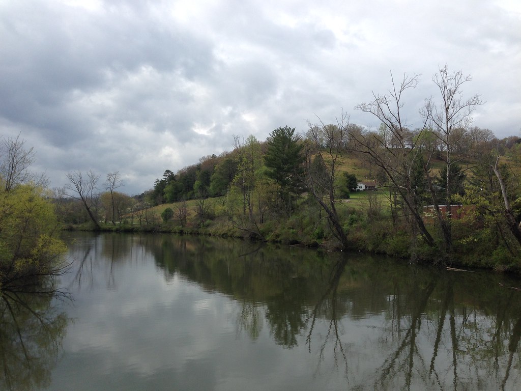
Little Tennessee River
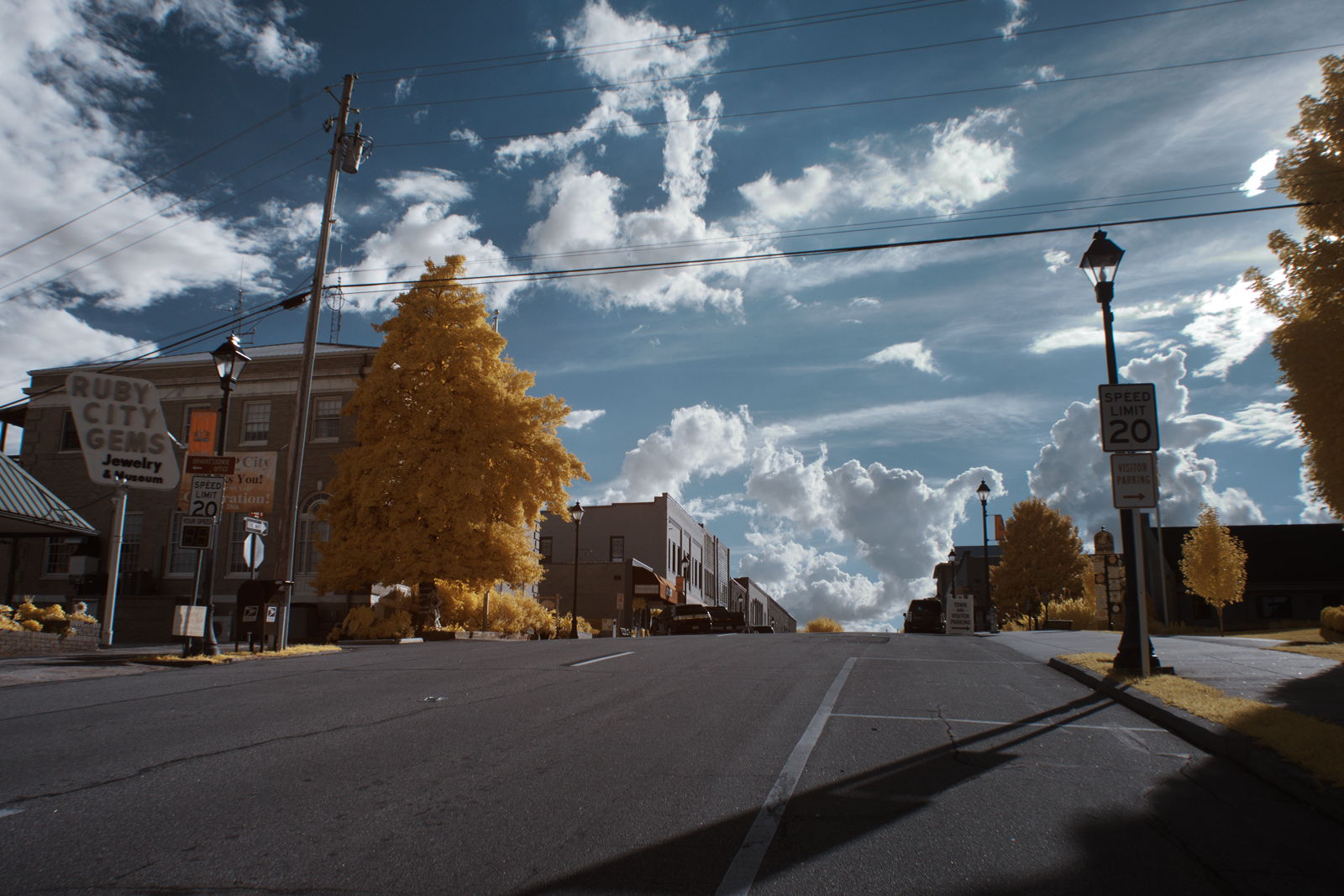
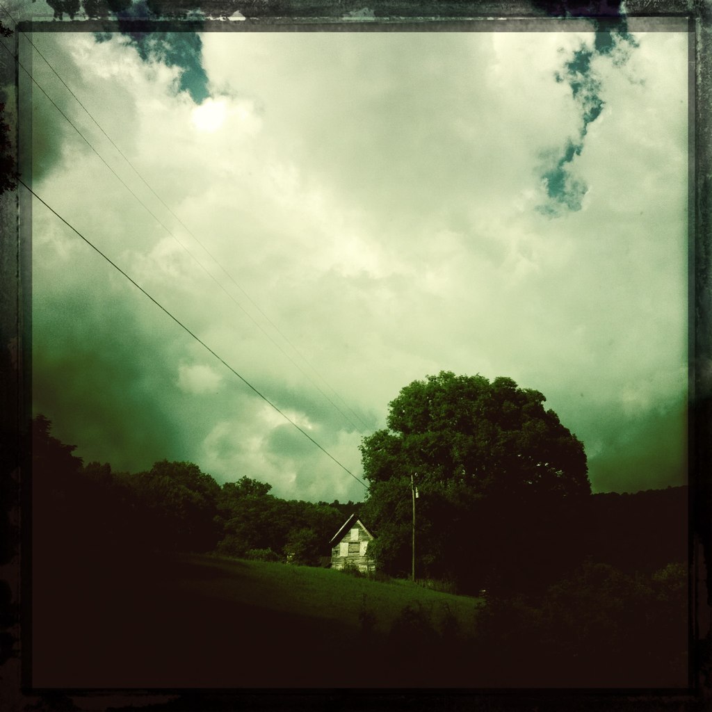
Ruby City
"The woods are lovely, dark and deep..."
What a Front Yard
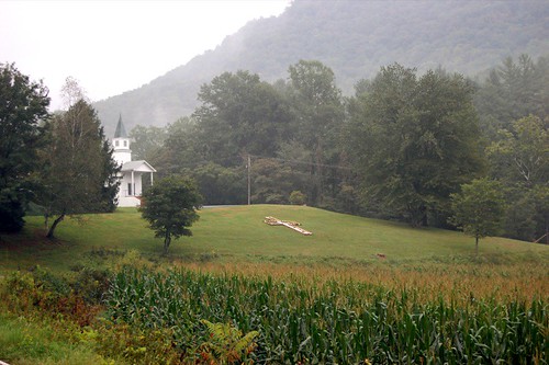
church.JPG
Town and country
Mountain Roads #4

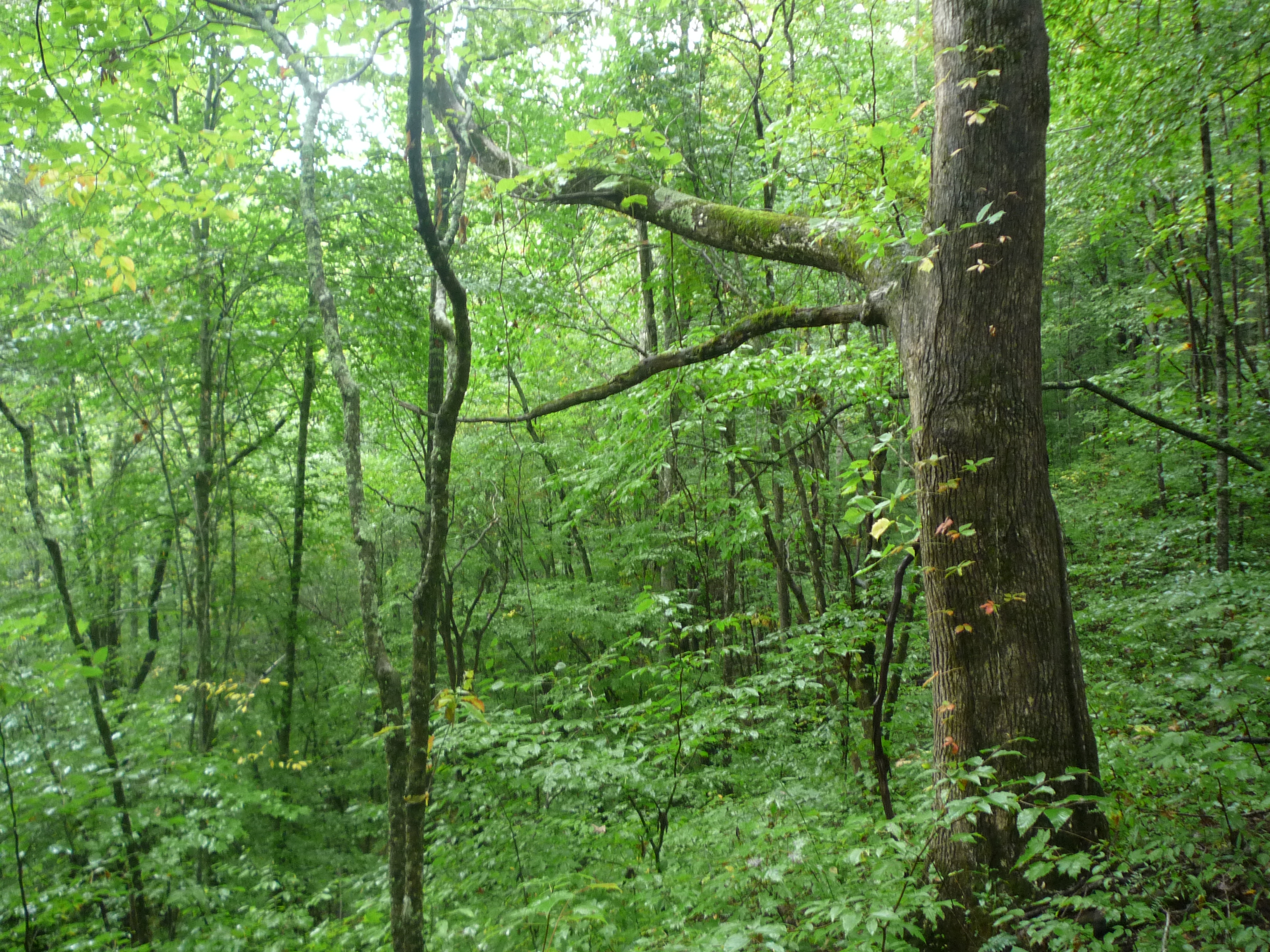
Black Locust - Robinia pseudoacacia?
Topographic Map of Dalton Creek Rd, Franklin, NC, USA
Find elevation by address:

Places near Dalton Creek Rd, Franklin, NC, USA:
437 Dalton Creek Rd
1377 Doghobble Dr
13 Lenten Rose
193 Holbrook Hill Dr
129 Macs Mountain Retreat Ln
2717 Ruby Mine Rd
168 Saddle Up Dr
829 Thompson Rd
606 Orenda Dr
Orenda Drive
Roy Cook Road
374 Cowee View Ln
128 Paul Hurst Rd
588 Sisk Branch Rd
82 Beasley Mine Rd
1389 Flowers Gap Rd
1209 Chinquapin Mountain Rd
Upper Dalton Creek Road
481 Coon Creek Rd
Coon Creek Road
Recent Searches:
- Elevation of Elwyn Dr, Roanoke Rapids, NC, USA
- Elevation of Congressional Dr, Stevensville, MD, USA
- Elevation of Bellview Rd, McLean, VA, USA
- Elevation of Stage Island Rd, Chatham, MA, USA
- Elevation of Shibuya Scramble Crossing, 21 Udagawacho, Shibuya City, Tokyo -, Japan
- Elevation of Jadagoniai, Kaunas District Municipality, Lithuania
- Elevation of Pagonija rock, Kranto 7-oji g. 8"N, Kaunas, Lithuania
- Elevation of Co Rd 87, Jamestown, CO, USA
- Elevation of Tenjo, Cundinamarca, Colombia
- Elevation of Côte-des-Neiges, Montreal, QC H4A 3J6, Canada