Elevation of Doe Creek Rd, Butler, TN, USA
Location: United States > Tennessee > Johnson County > Butler >
Longitude: -81.952258
Latitude: 36.3851839
Elevation: -10000m / -32808feet
Barometric Pressure: 295KPa
Elevation Map:
Satellite Map:
Related Photos:
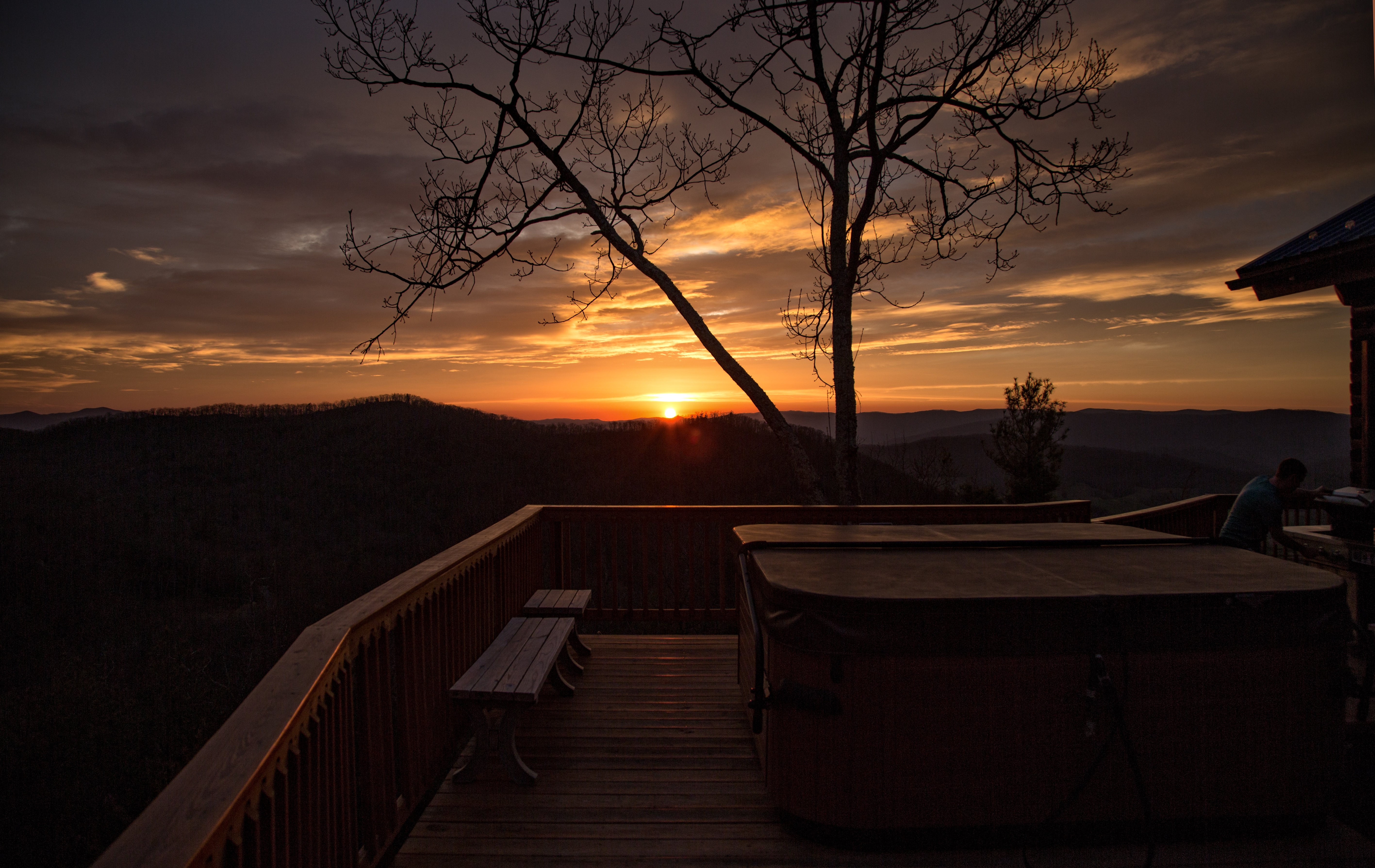
Cloud 9 Hot Tub View

Osborne Tract, Appalachian NST, Shady Valley, TN5

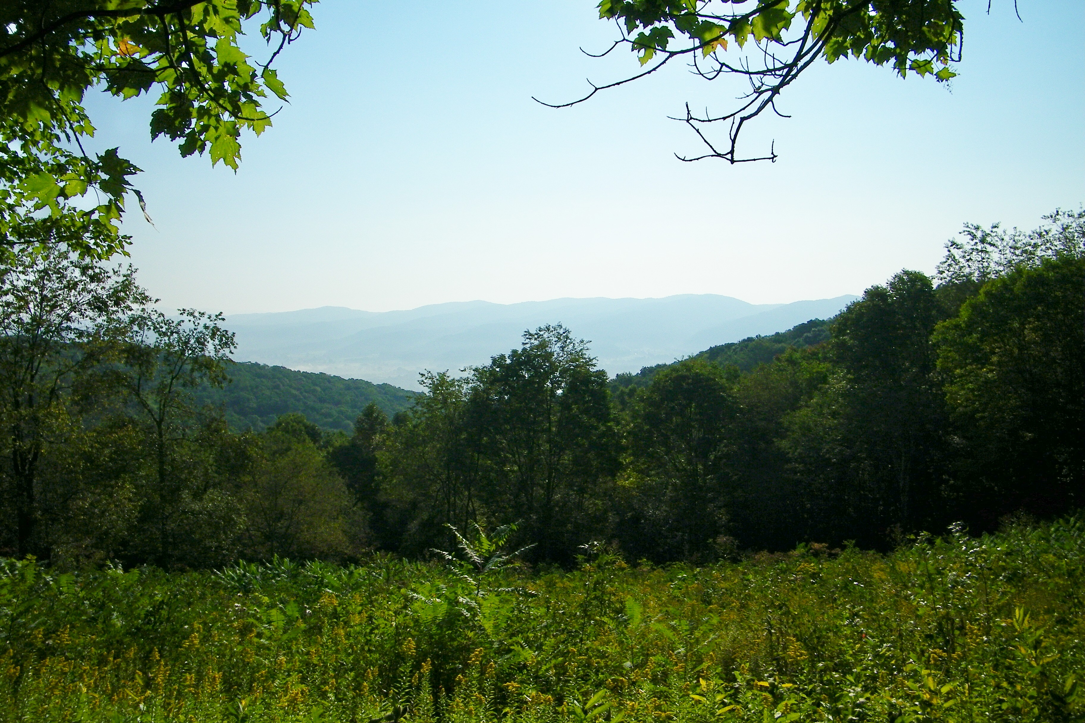
The view

Appalachian National Scenic Trail, Osborne Tract, Shady Valley, TN
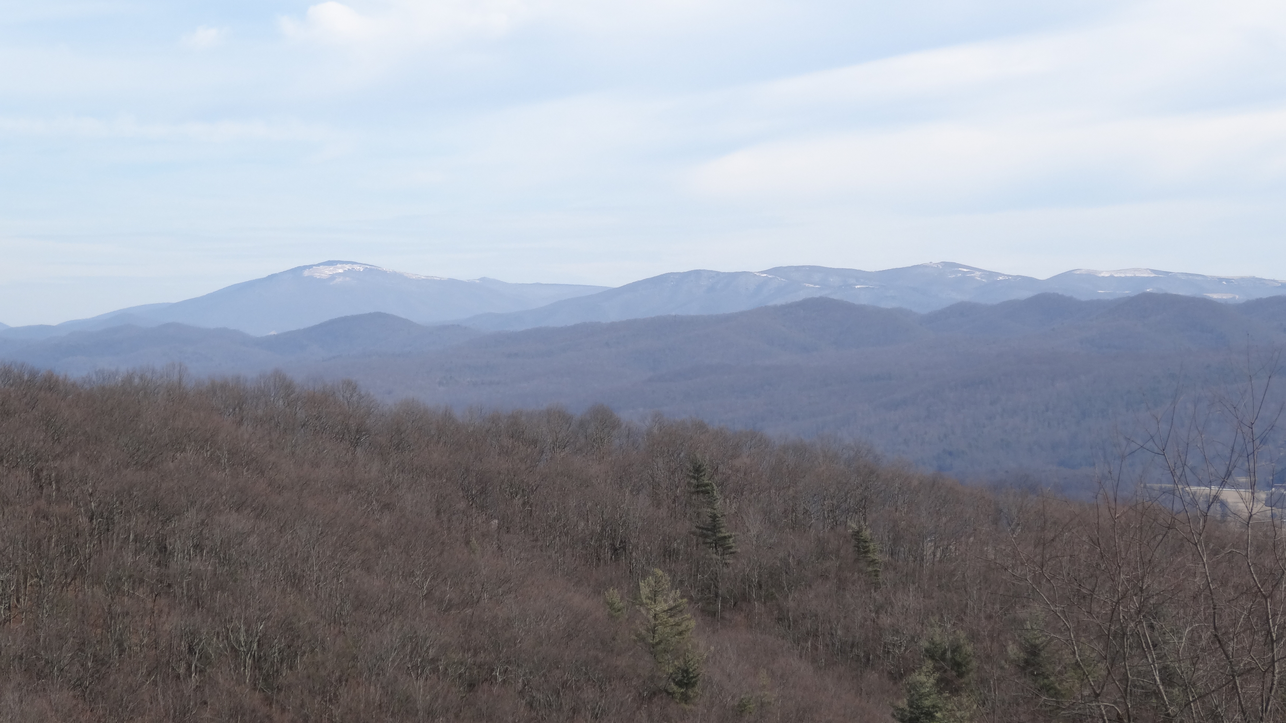
view from Appalachian NST, TN2

Osborne Tract, Appalachian NST, Shady Valley, TN7
Osborne Tract, Appalachian NST, Shady Valley, TN4

Osborne Tract, Appalachian NST, Shady Valley, TN6

Osborne Tract, Appalachian NST, Shady Valley, TN

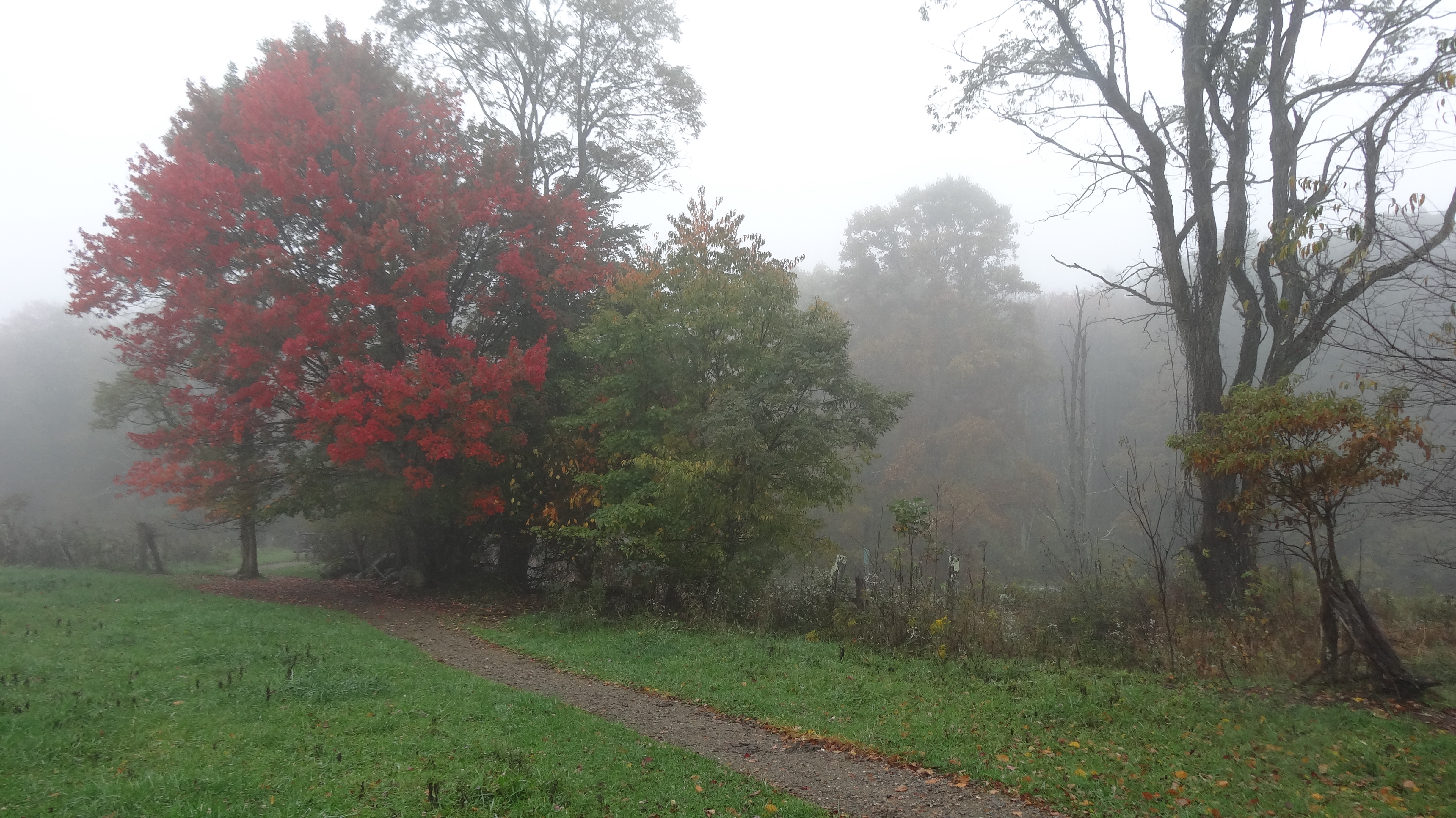
Osborne Tract, Appalachian NST, Shady Valley, TN2
Osborne Tract, Appalachian NST, Shady Valley, TN3

Mountain View from our room. Happy Wednesday Evening Everyone

watagua cabin frame

Appalachian Trail

Appalachian Trail

View from Vandeventer Shelter
Appalachian Trail

View from Vandeventer Shelter

Hummingbird Stowaway ~ Best viewed large

Vandeventer Shelter, Appalachian NST, TN

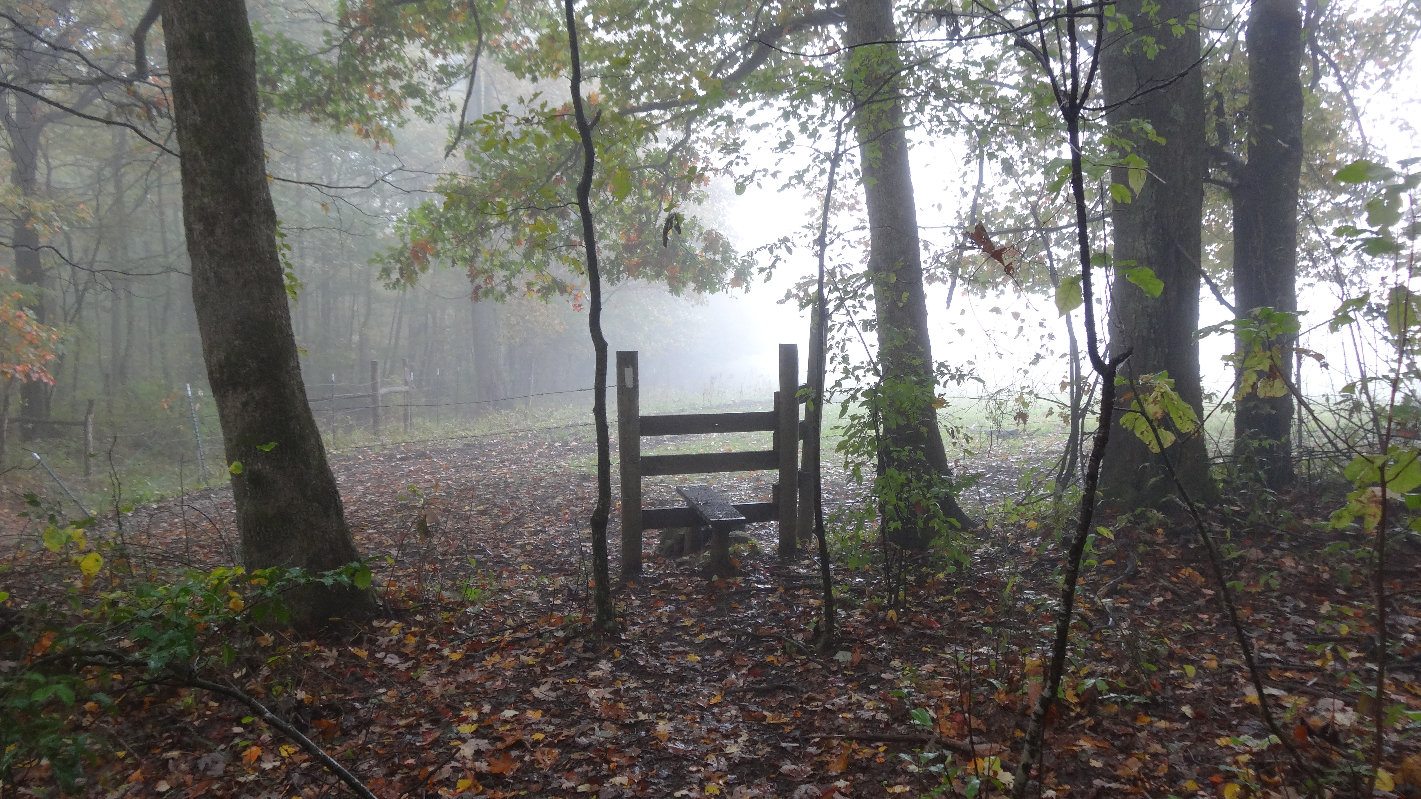
Osborne Tract, Appalachian NST, Shady Valley, TN2

Blue Hole Lower
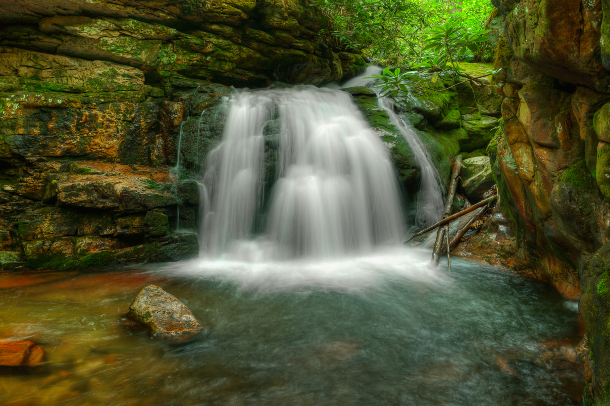
Blue Hole Falls
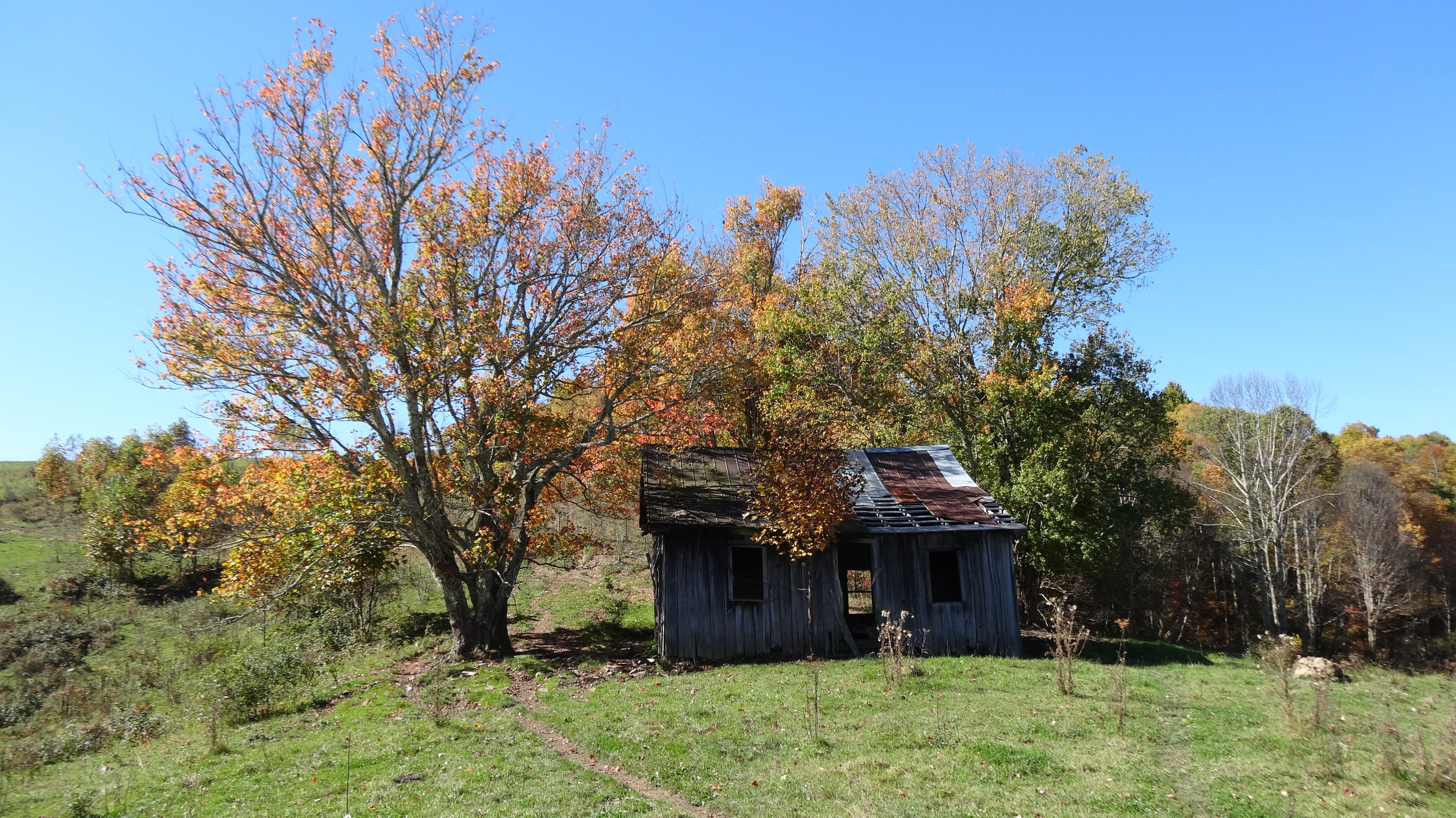
Old Cabin, Osborne Tract, Shady Valley, TN2

Uncle Nick Grindstaff Monument, Appalachian NST, TN

Water Blue Blazer on Appalachian NST, TN
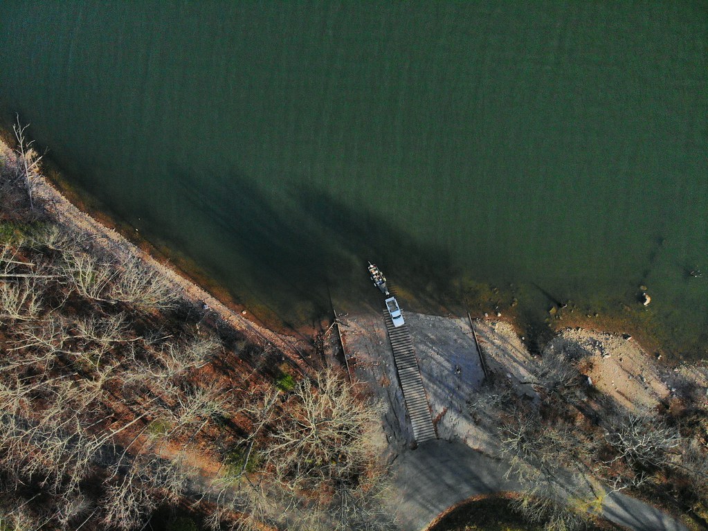
Loading the boat
IMG_1482.jpg
Shady Valley Farm

Mallard's Solitude
Blue Hole Falls, Carter County, TN4

C.R. "Doodle" White Overlook

Mountain Flame

Double Exposer

Mountains of Tennessee

Watauga Lake at Night

Country Sunshine
The Blue Hole
Topographic Map of Doe Creek Rd, Butler, TN, USA
Find elevation by address:

Places near Doe Creek Rd, Butler, TN, USA:
6070 Sink Valley Rd
Rd Campbell Rd, Butler, TN, USA
5610 Sink Valley Rd
330 Grindstaff Rd
200 Sky Ln Ridge
Little Dry Run Road
215 Myrtle Dr
Wayne Laws Road
Laurel Mountain Estates
Ridge Run Pvt Lane
115 Pioneer Ridge Ln
Sink Valley Road
936 Atwood Rd
115 Harbor View Rd
Harbor View Road
329 Harbor View Rd
1700 Copperhead Hollow Rd
1458 Dry Hill Rd
357 Norman Dugger Rd
8893 Big Dry Run Rd
Recent Searches:
- Elevation of Beall Road, Beall Rd, Florida, USA
- Elevation of Leguwa, Nepal
- Elevation of County Rd, Enterprise, AL, USA
- Elevation of Kolchuginsky District, Vladimir Oblast, Russia
- Elevation of Shustino, Vladimir Oblast, Russia
- Elevation of Lampiasi St, Sarasota, FL, USA
- Elevation of Elwyn Dr, Roanoke Rapids, NC, USA
- Elevation of Congressional Dr, Stevensville, MD, USA
- Elevation of Bellview Rd, McLean, VA, USA
- Elevation of Stage Island Rd, Chatham, MA, USA