Elevation of Sink Valley Road, Sink Valley Rd, Tennessee, USA
Location: United States > Tennessee > Johnson County > Butler >
Longitude: -81.992226
Latitude: 36.3626693
Elevation: 709m / 2326feet
Barometric Pressure: 93KPa
Elevation Map:
Satellite Map:
Related Photos:
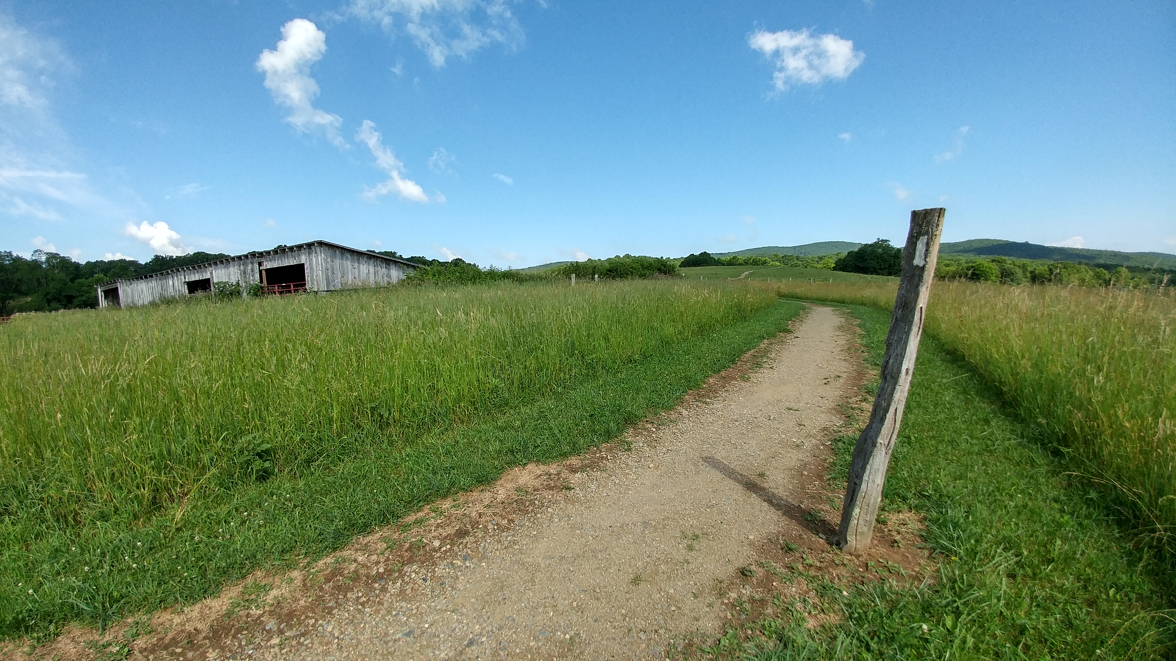
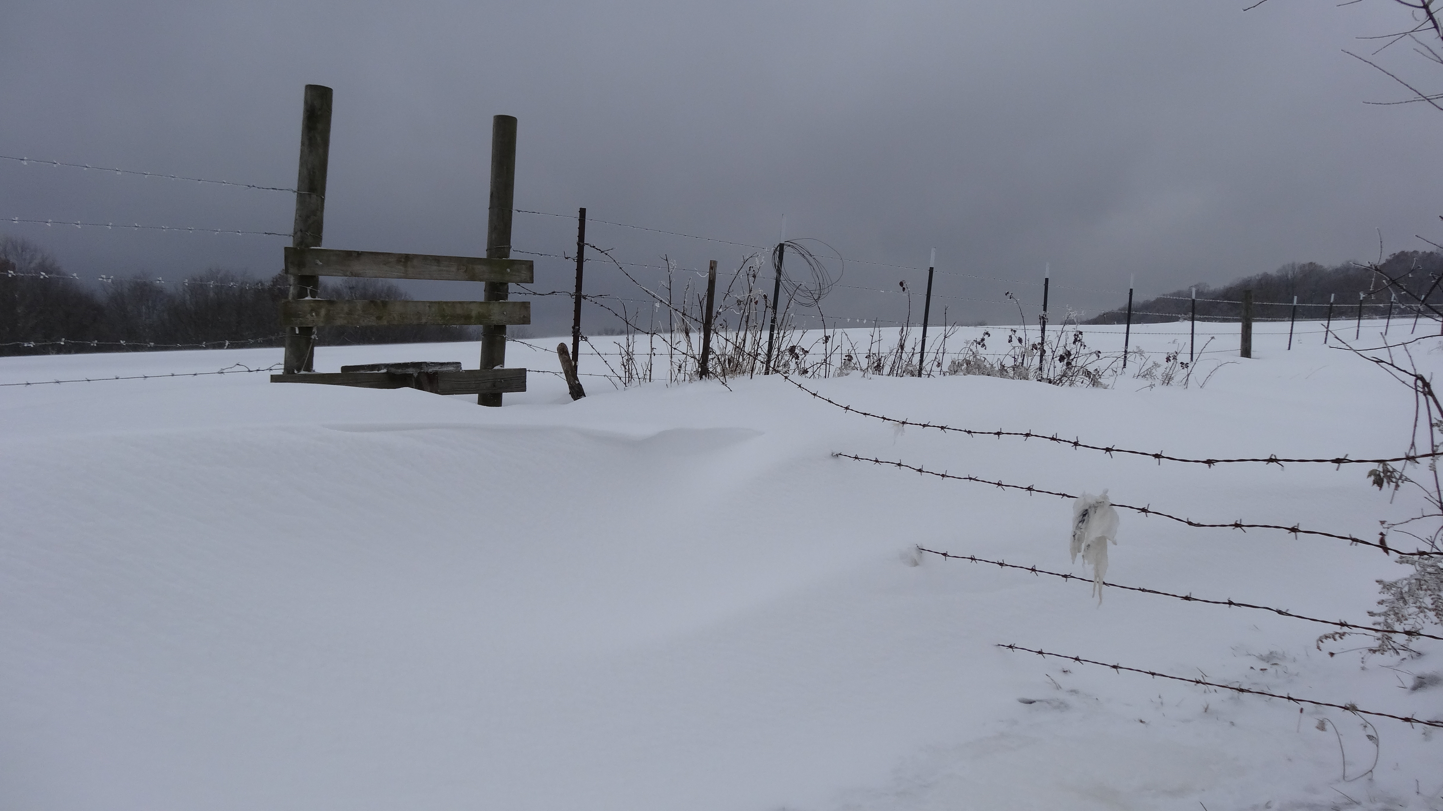
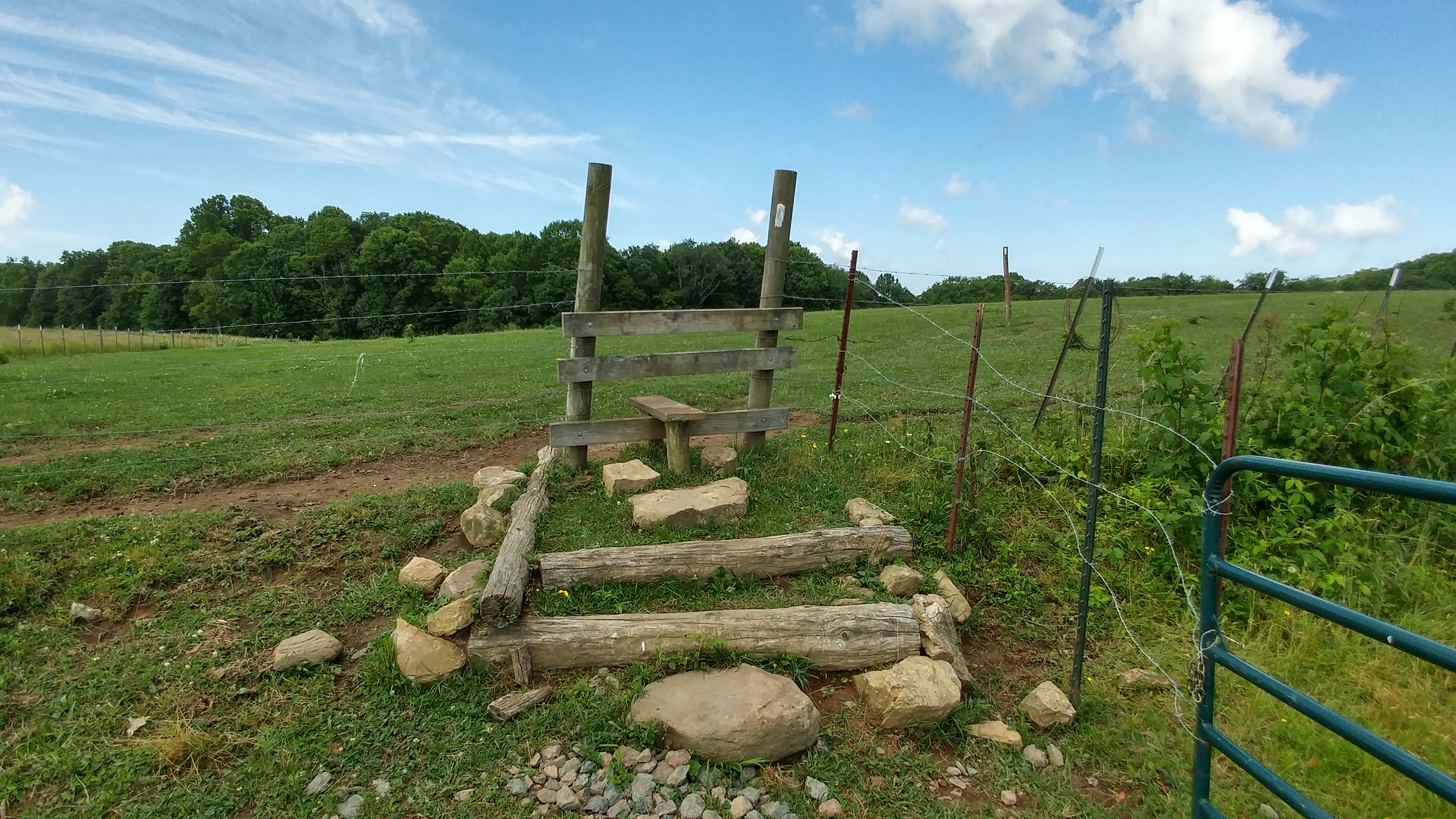
Osborne Tract, Appalachian NST, Shady Valley, TN4
watagua cabin frame

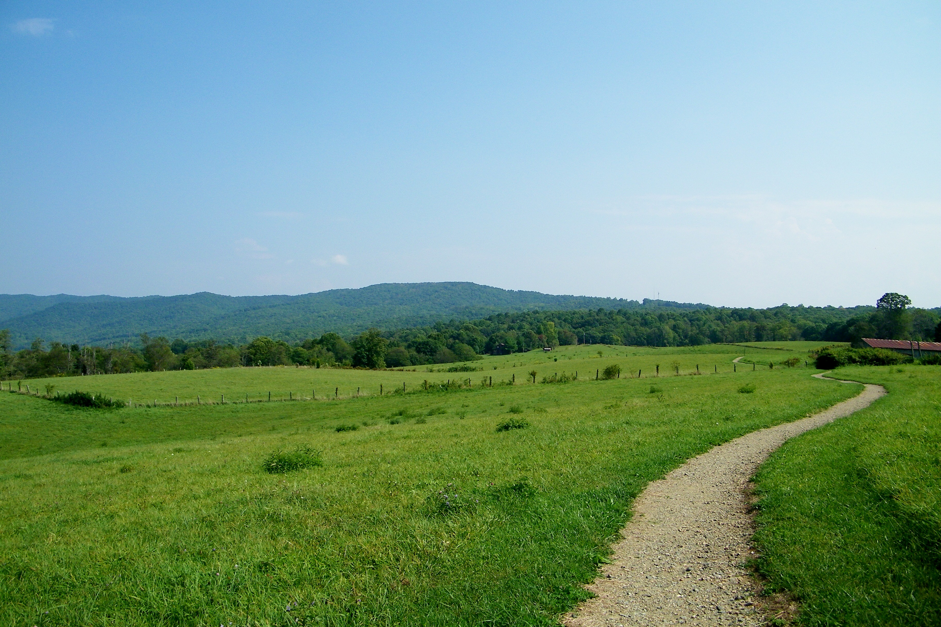
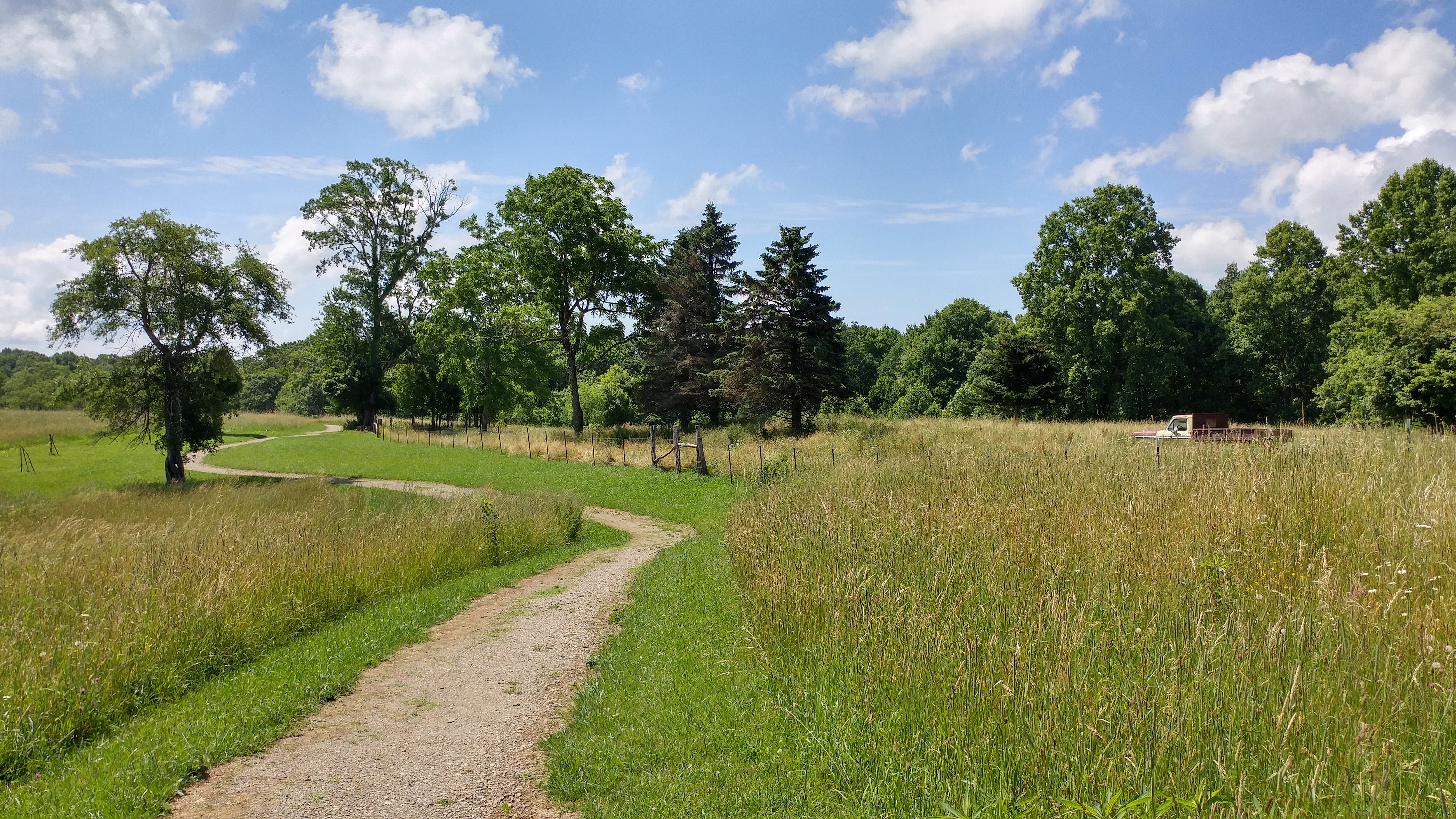
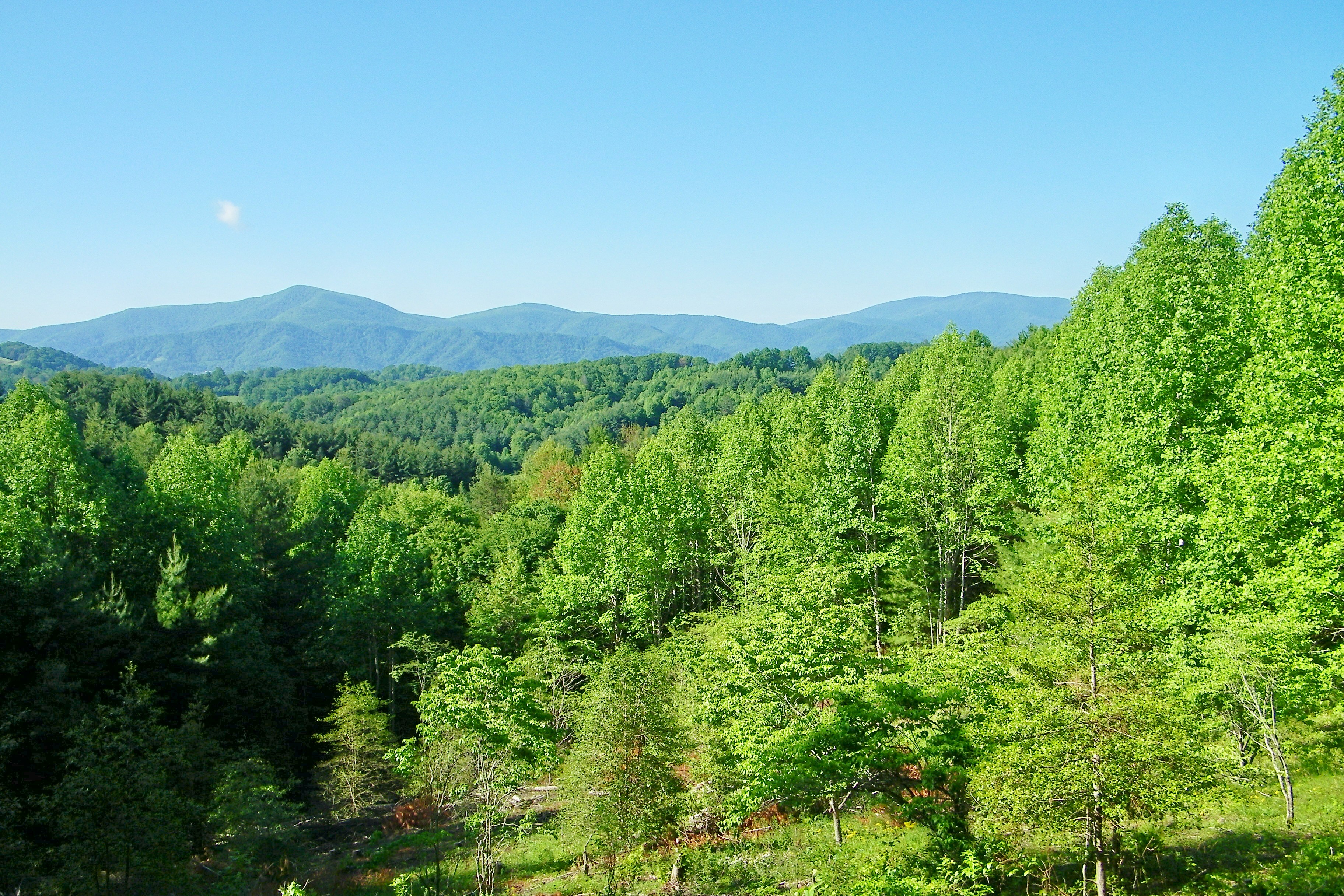
Appalachian Trail
Appalachian Trail
Osborne Tract, Appalachian NST, Shady Valley, TN6
Osborne Tract, Appalachian NST, Shady Valley, TN7
Osborne Tract, Appalachian NST, Shady Valley, TN5
Osborne Tract, Appalachian NST, Shady Valley, TN8
Osborne Tract, Appalachian NST, Shady Valley, TN7
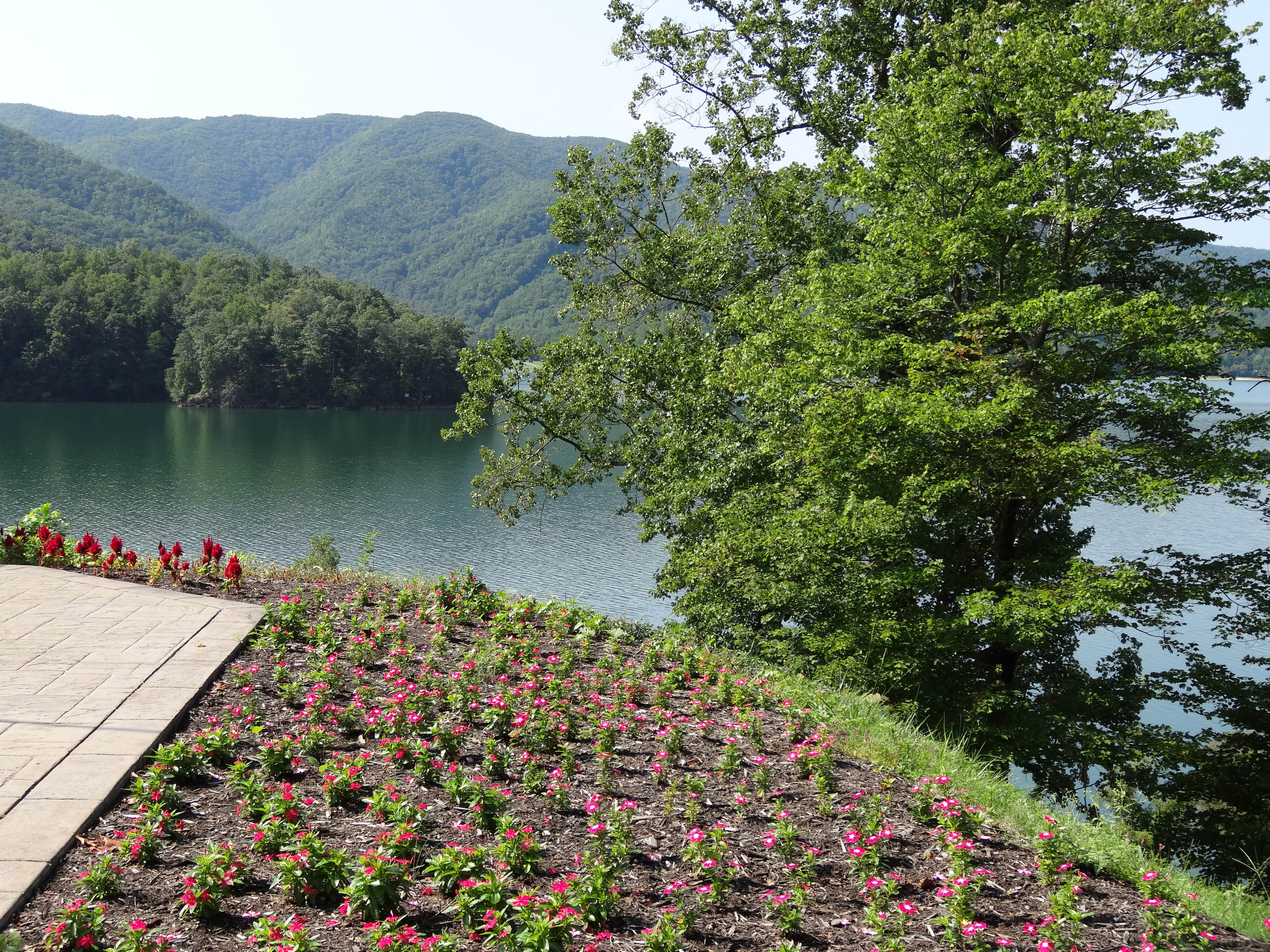
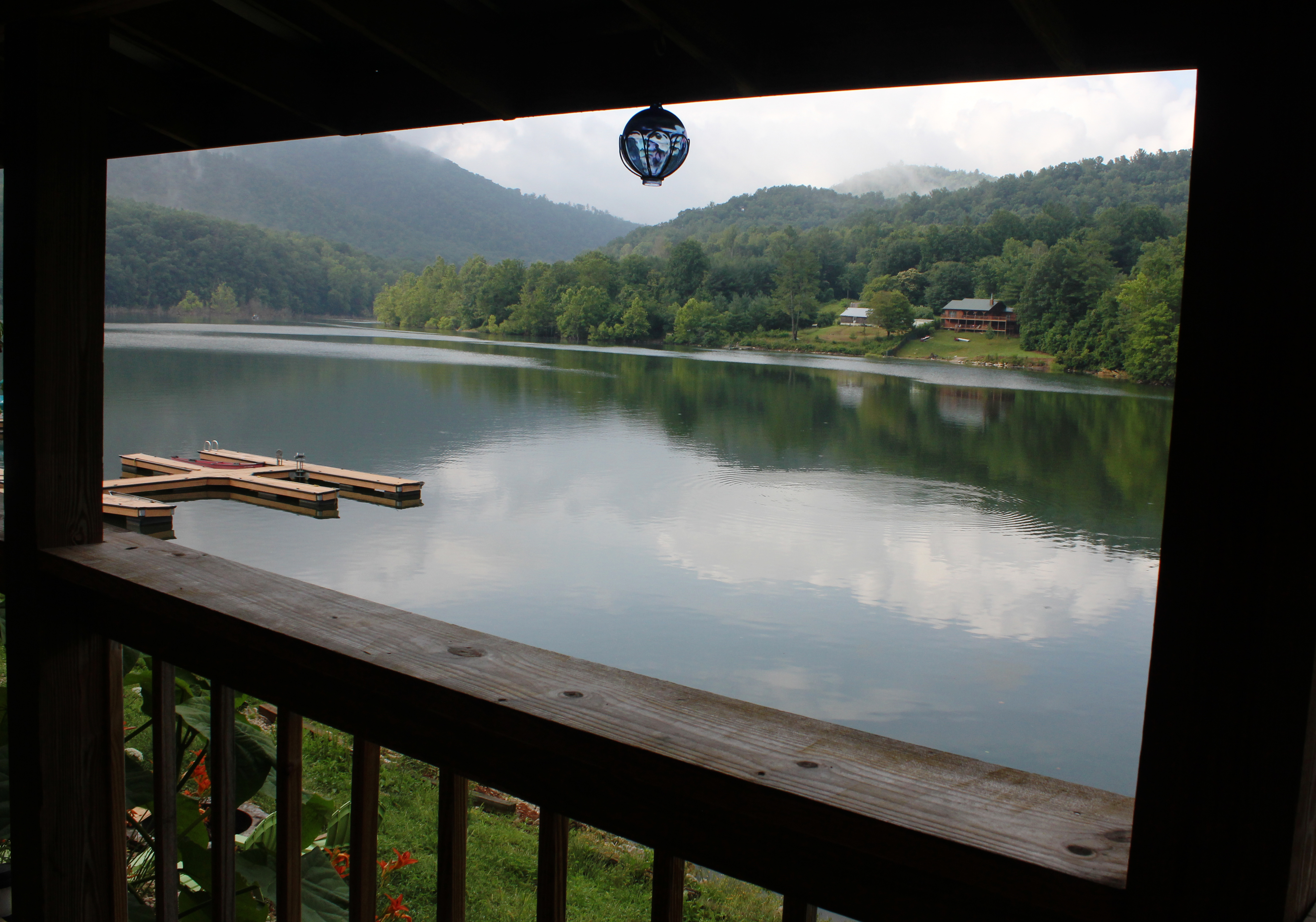
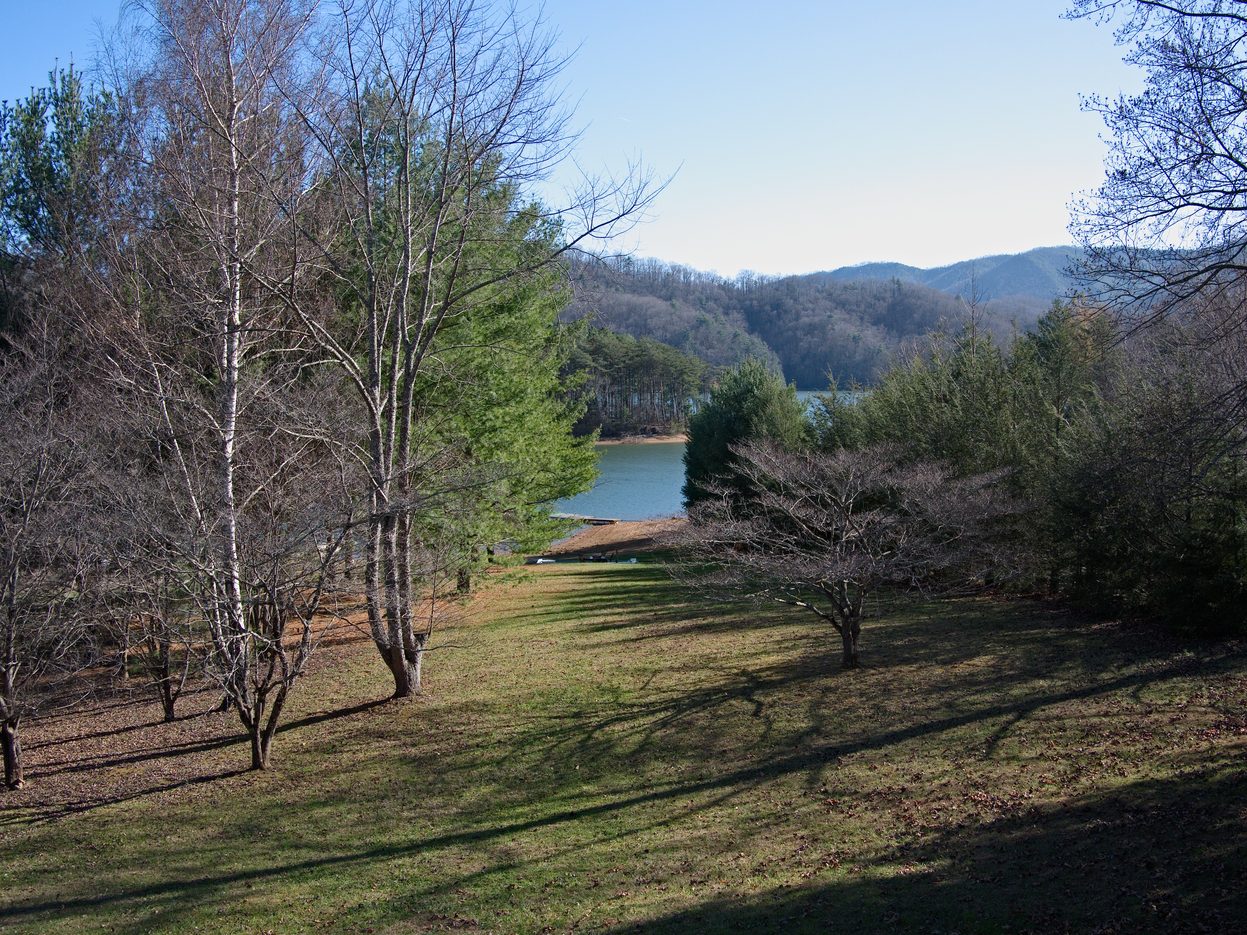
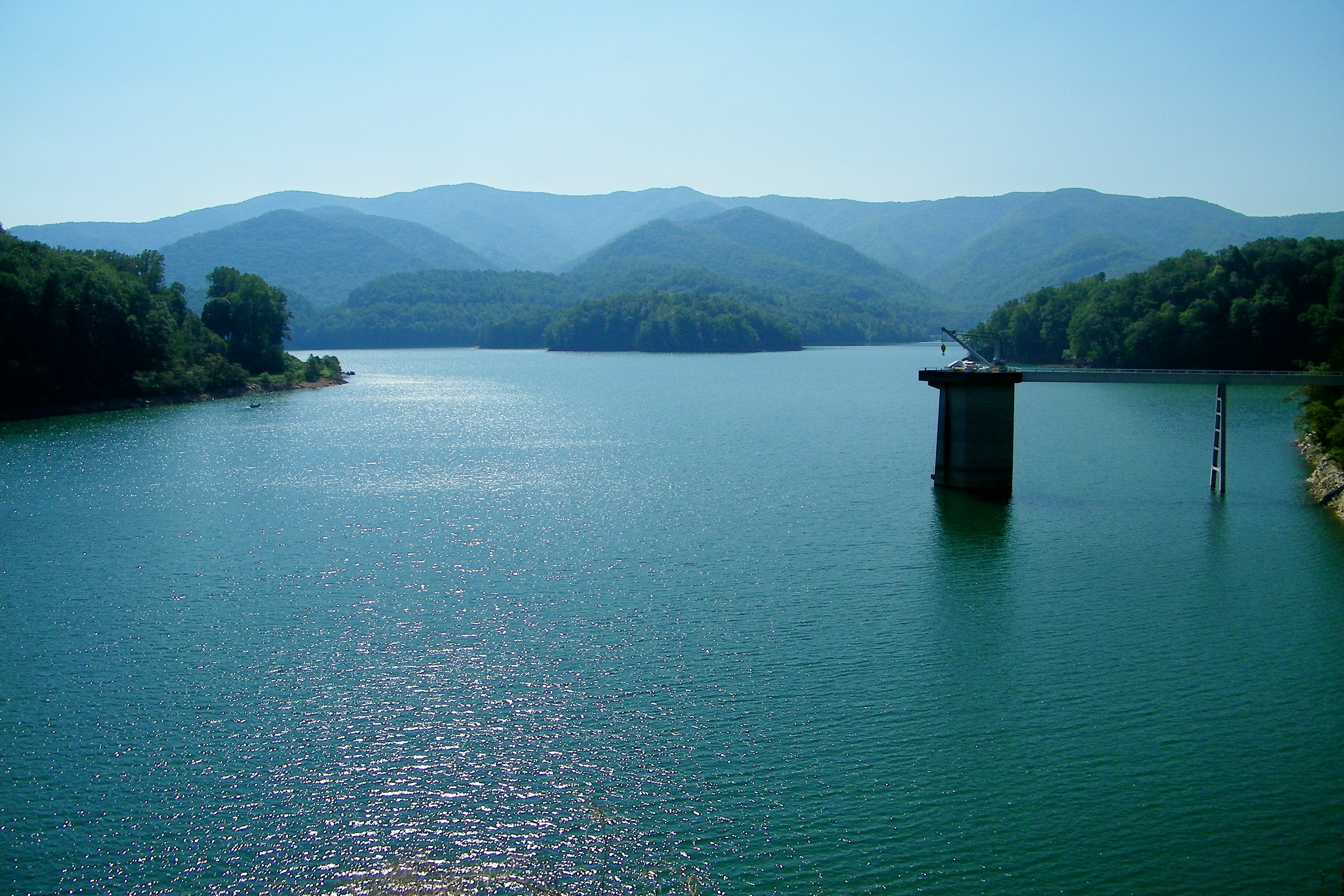
Watauga Lake, Carter County, TN
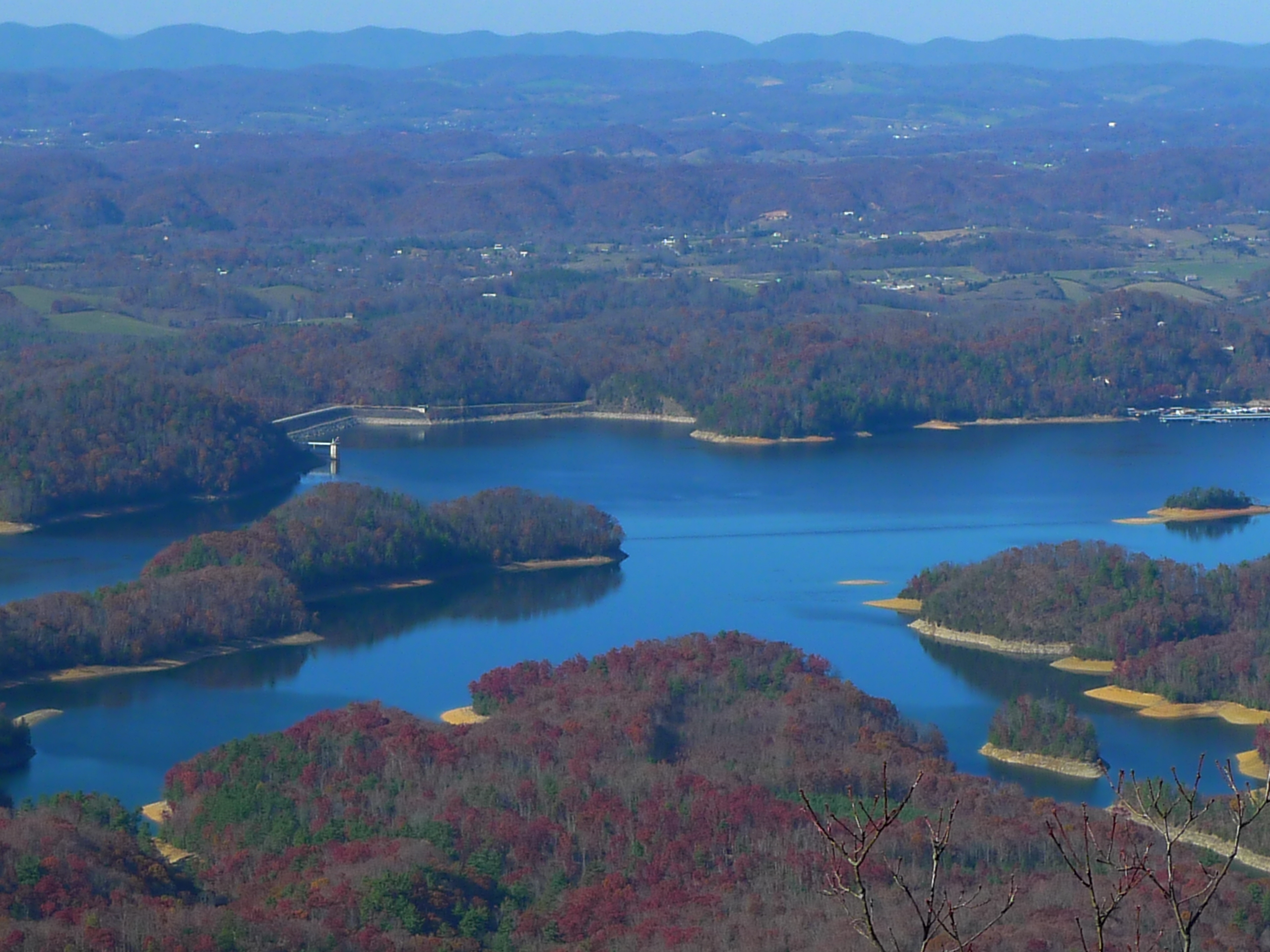
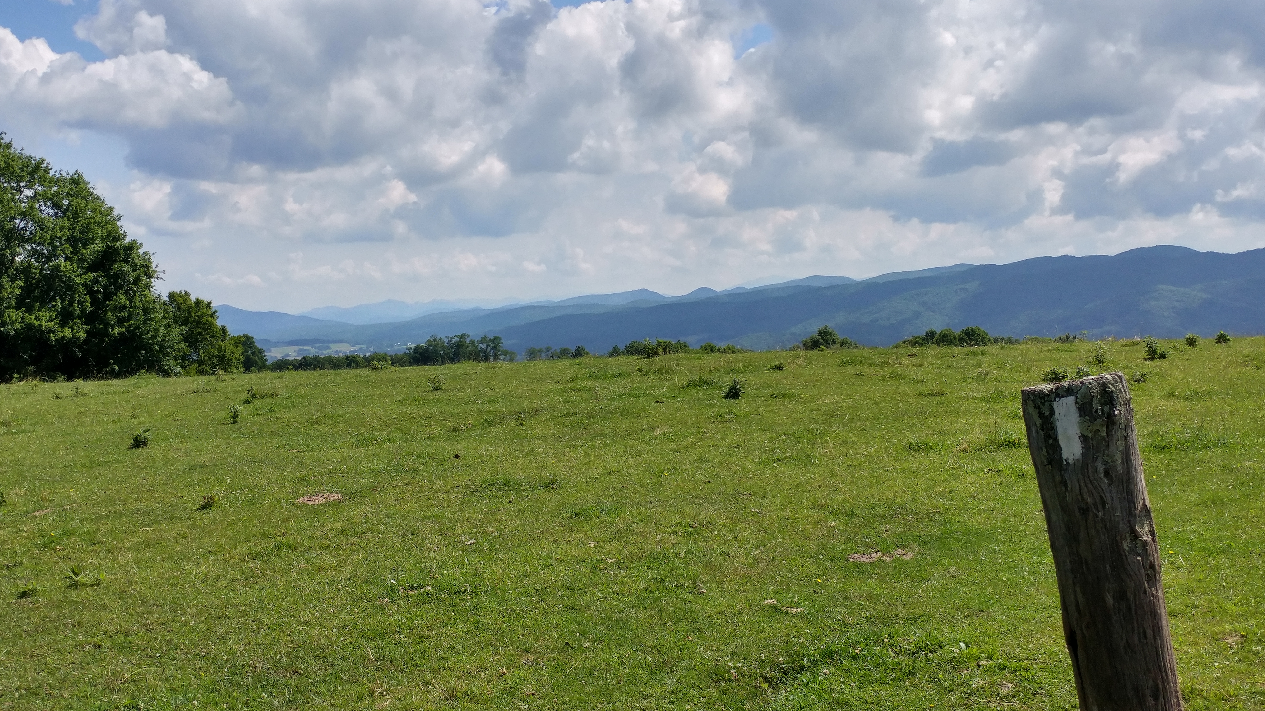
View from Flint Rock
The view
Scenic View #2
Watauga Lake
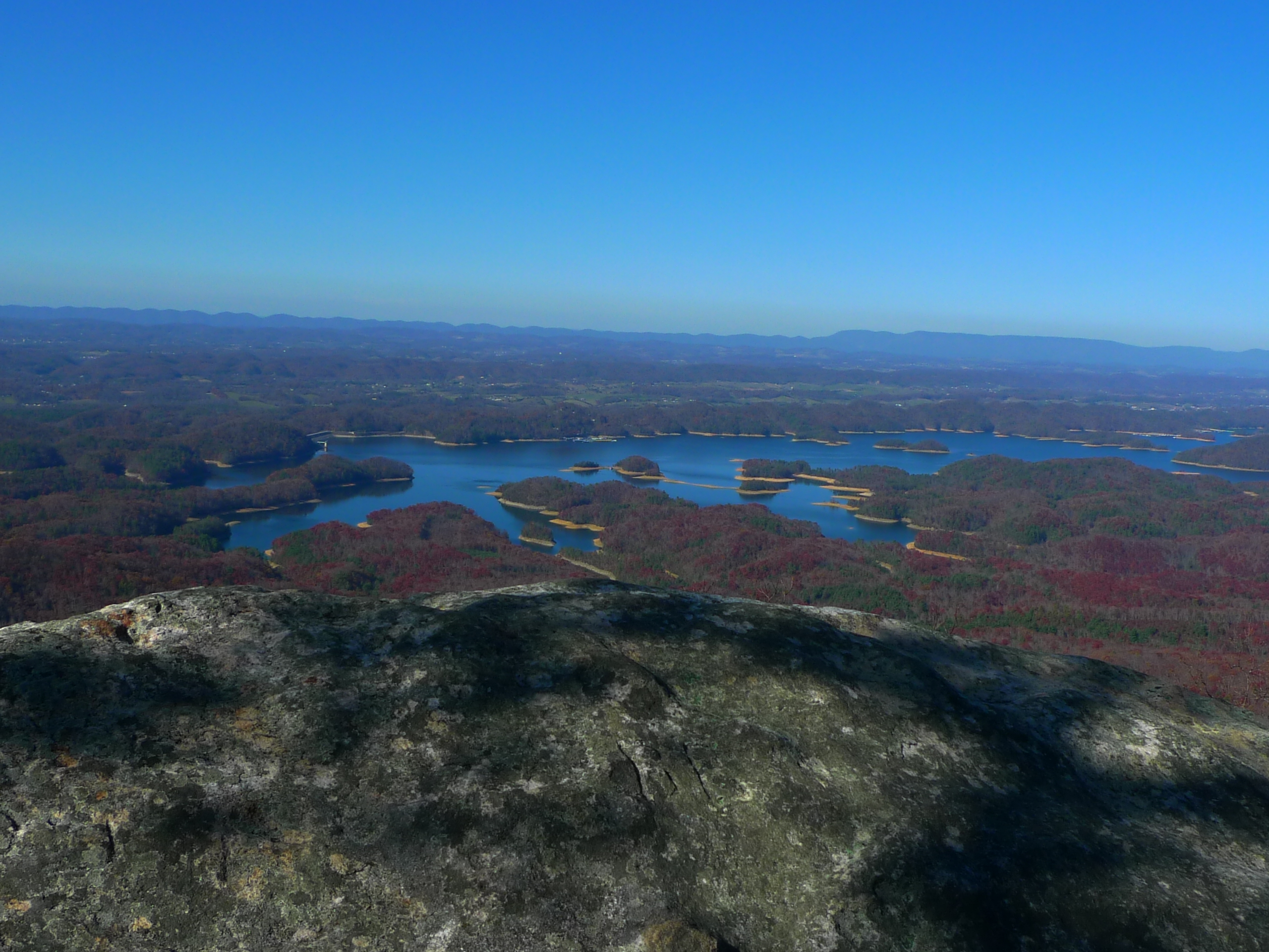
View from Flint Rock

View from Flint Rock
Watauga Lake, Carter County, TN3
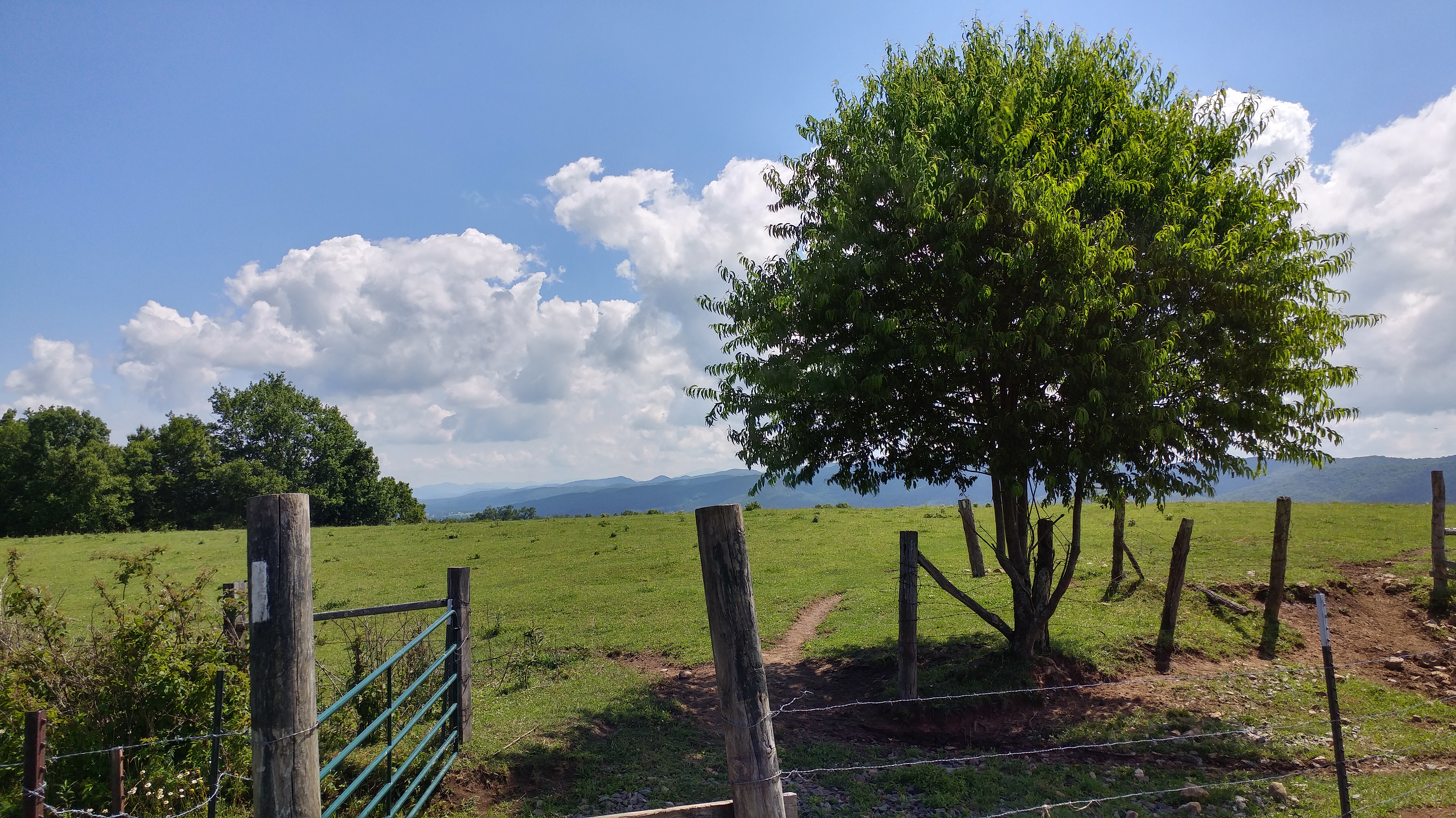
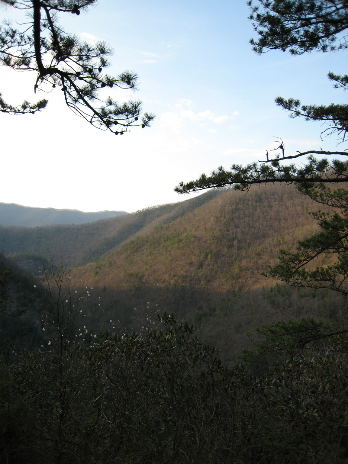
View from AT about a mile north of Walnut Mtn Rd
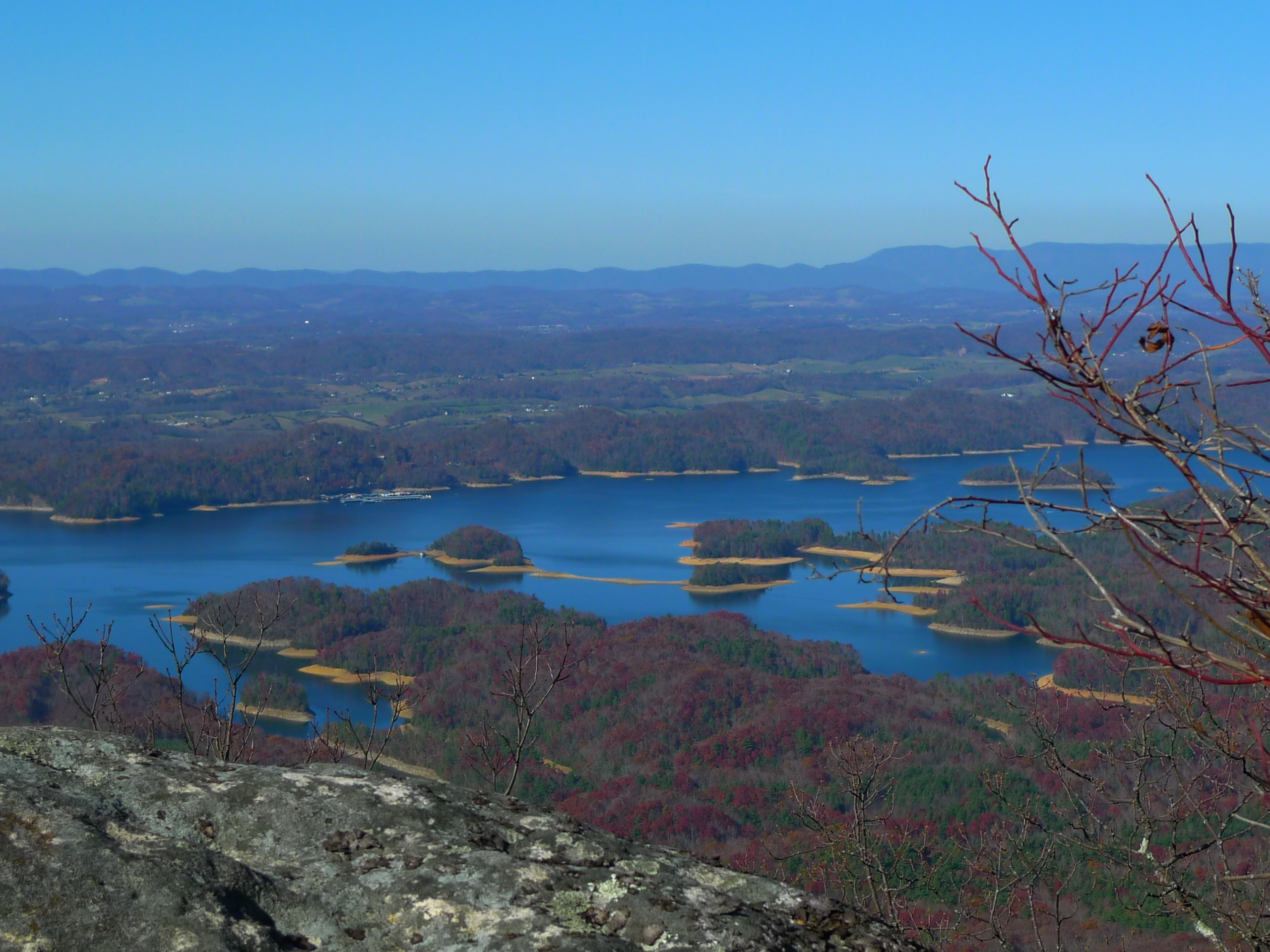
View from Flint Rock

View from Vandeventer Shelter

Watauga Lake, Carter County, TN
JFRM-2017-04-7441.jpg
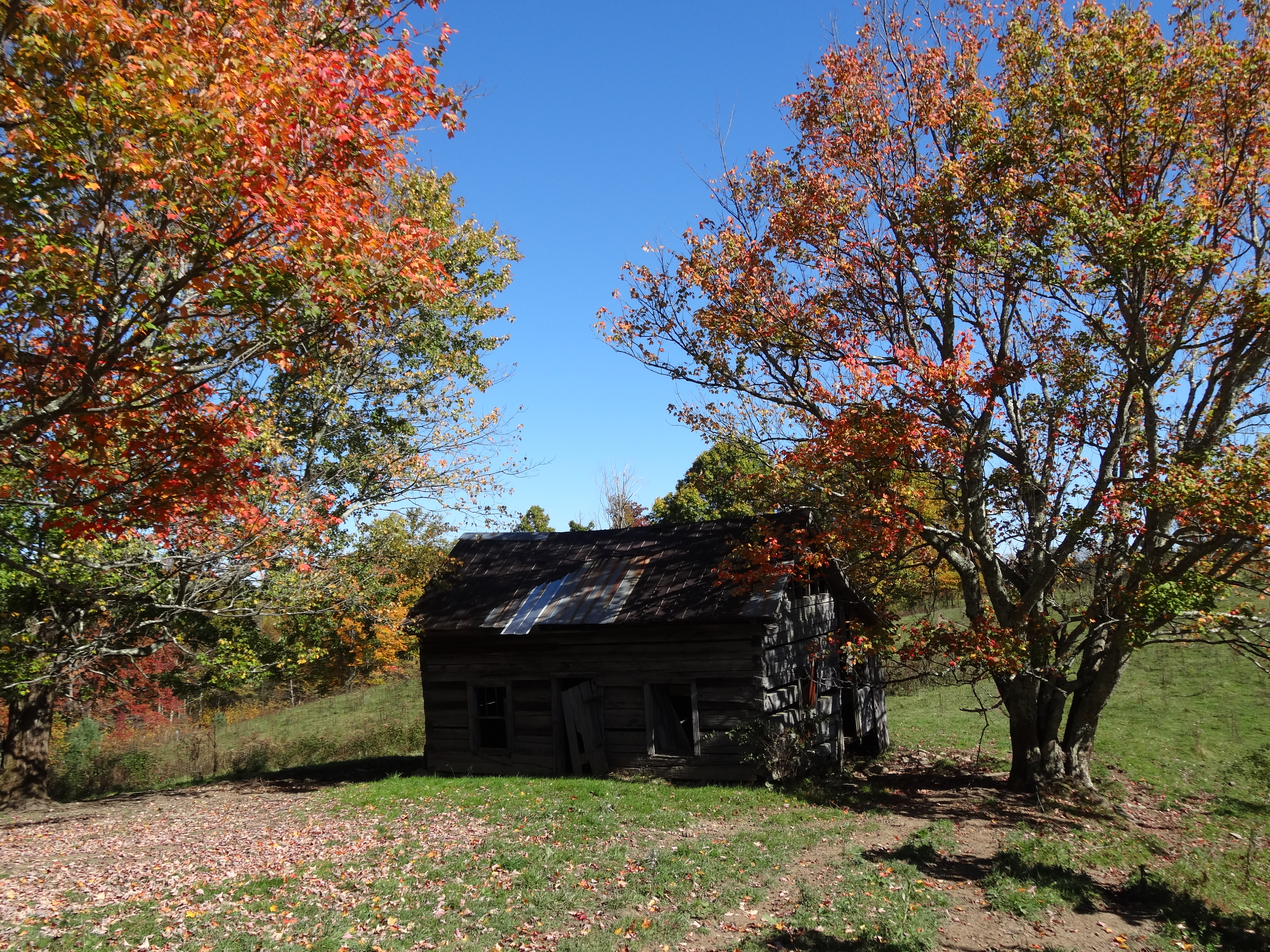
Old Cabin, Osborne Tract, Shady Valley, TN

Days End

Country Sunshine

Second Sunset 3

Serene Sunset

Mallard's Solitude

C.R. "Doodle" White Overlook

Mountain Flame

Watauga Lake at Night
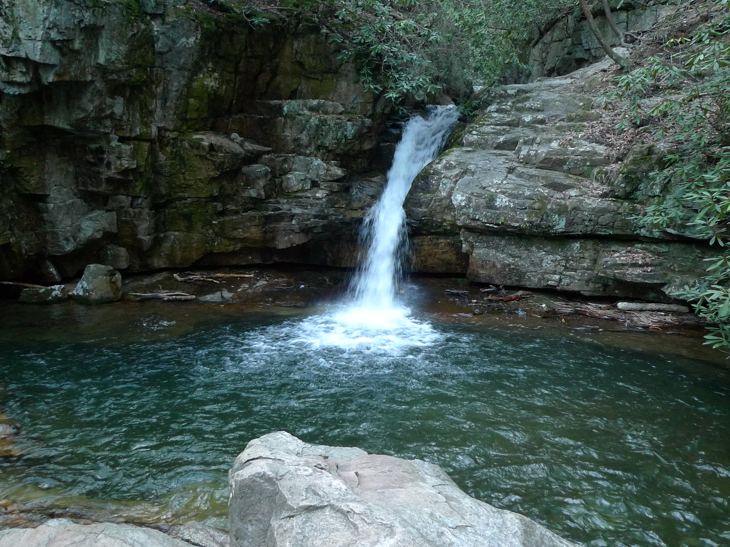
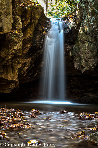
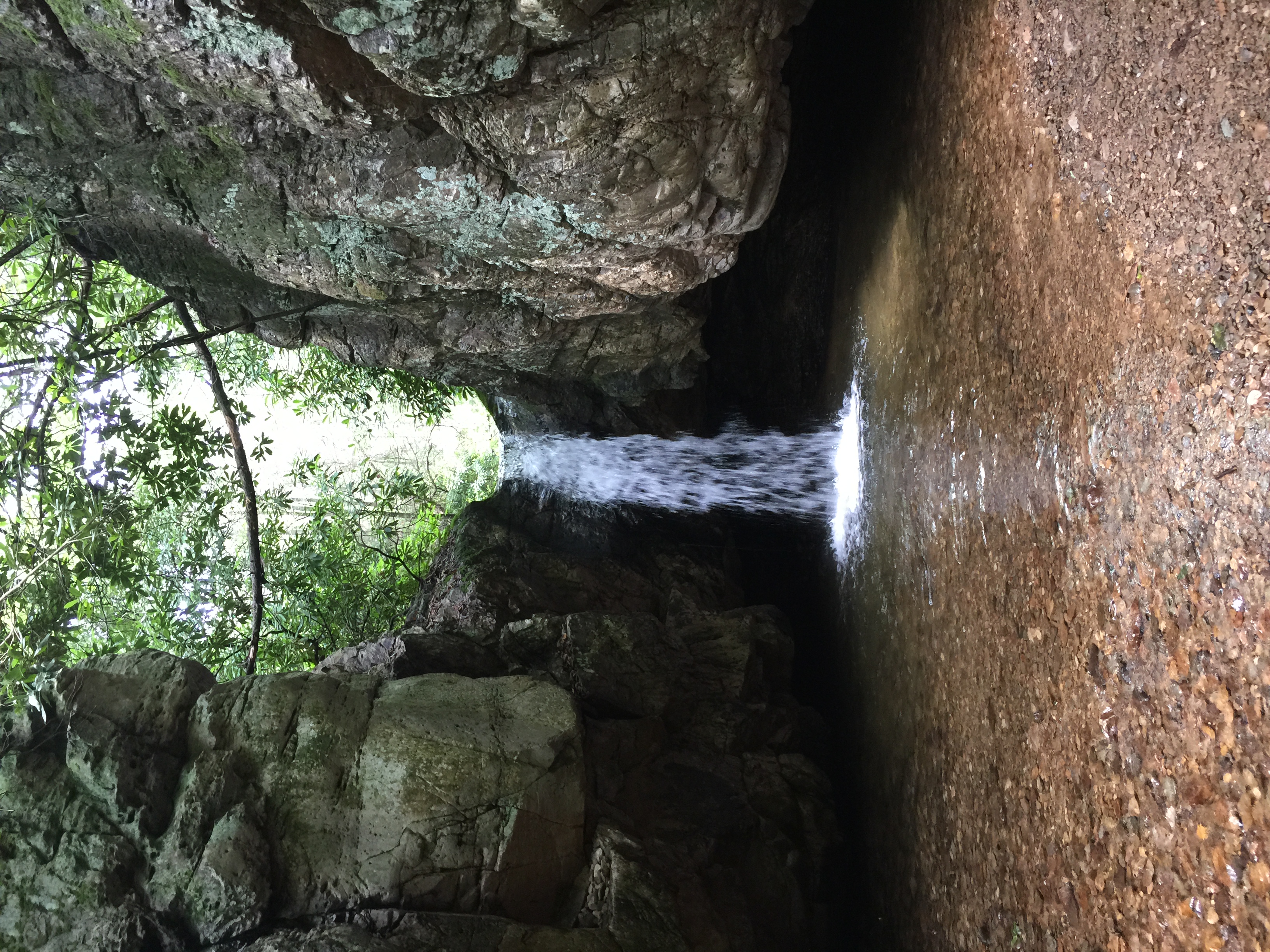
Blue Hole Lower
2012_10_21_8304_Blue_Hole-Edit
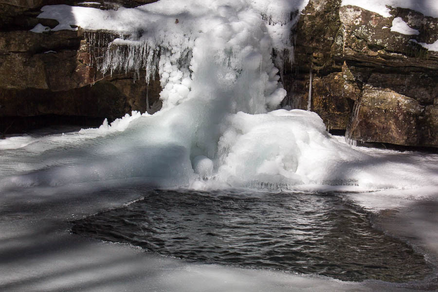
Blue Hole in the Snow
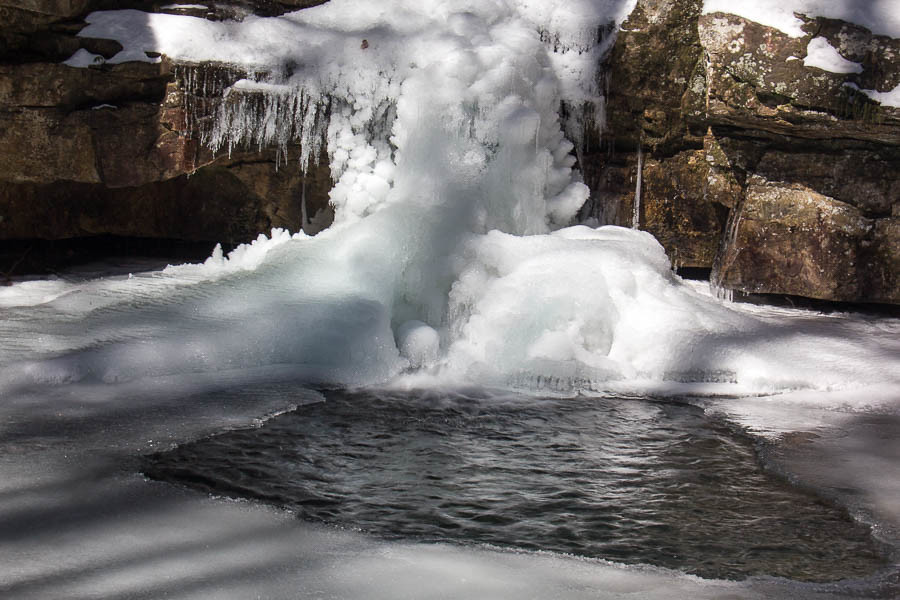
Blue Hole in the Snow
Blue Hole1
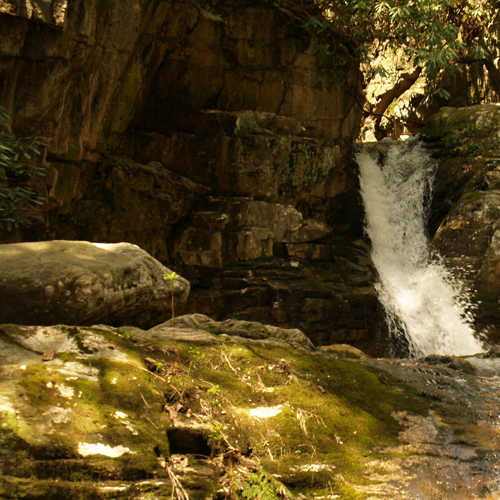
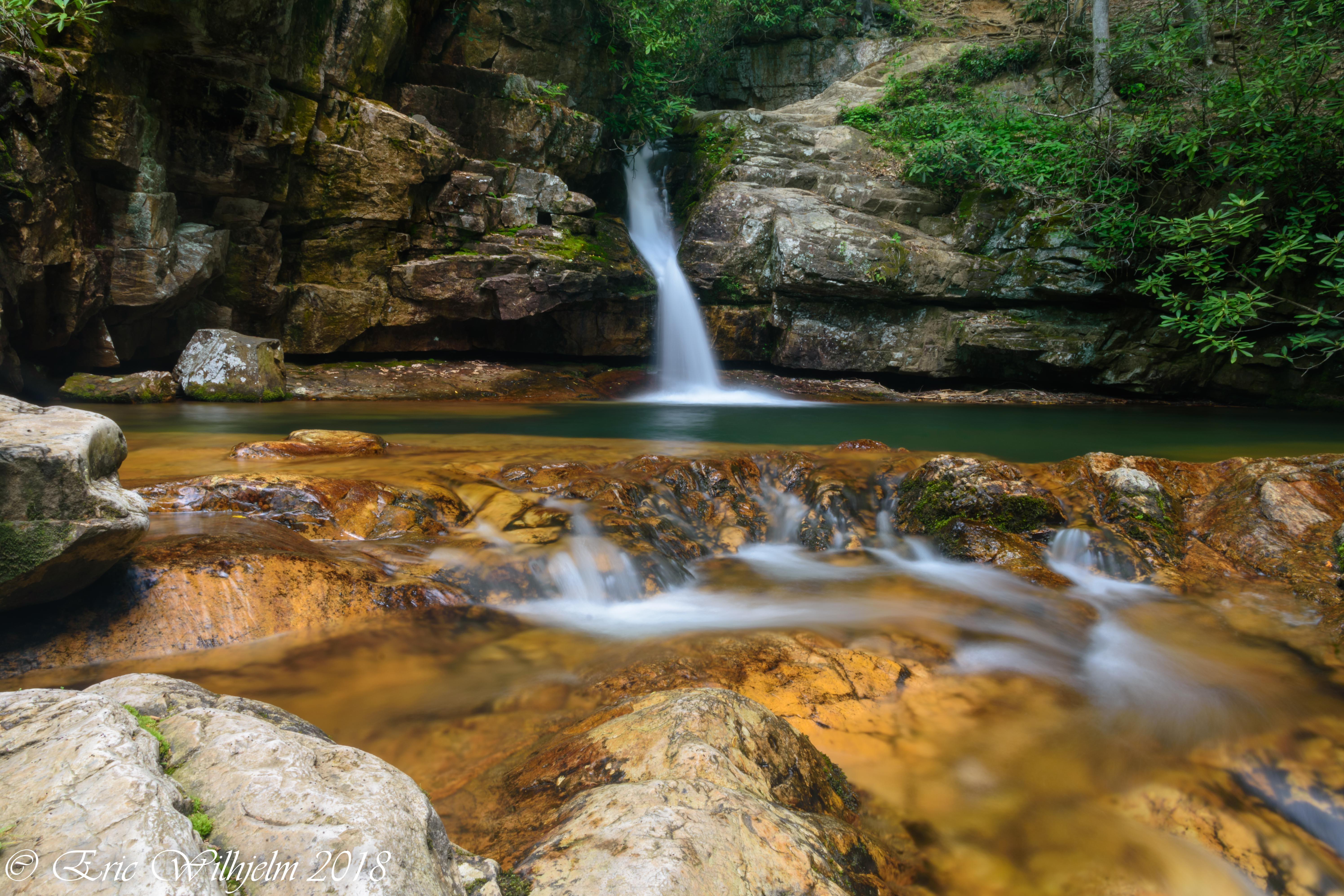
The Blue Hole

Country Lane-sm
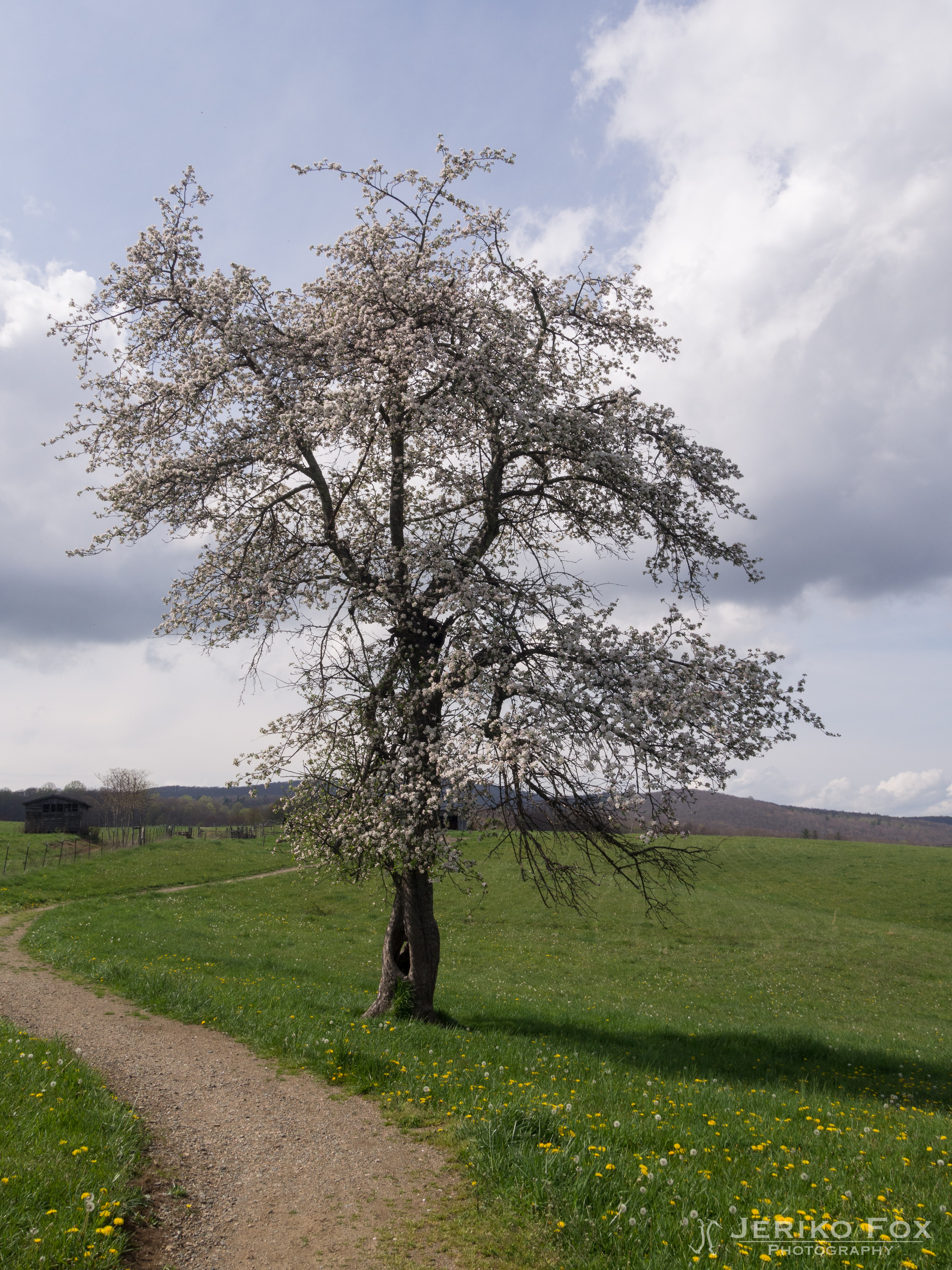
Favorites from iPhone
Topographic Map of Sink Valley Road, Sink Valley Rd, Tennessee, USA
Find elevation by address:

Places near Sink Valley Road, Sink Valley Rd, Tennessee, USA:
330 Grindstaff Rd
115 Pioneer Ridge Ln
5610 Sink Valley Rd
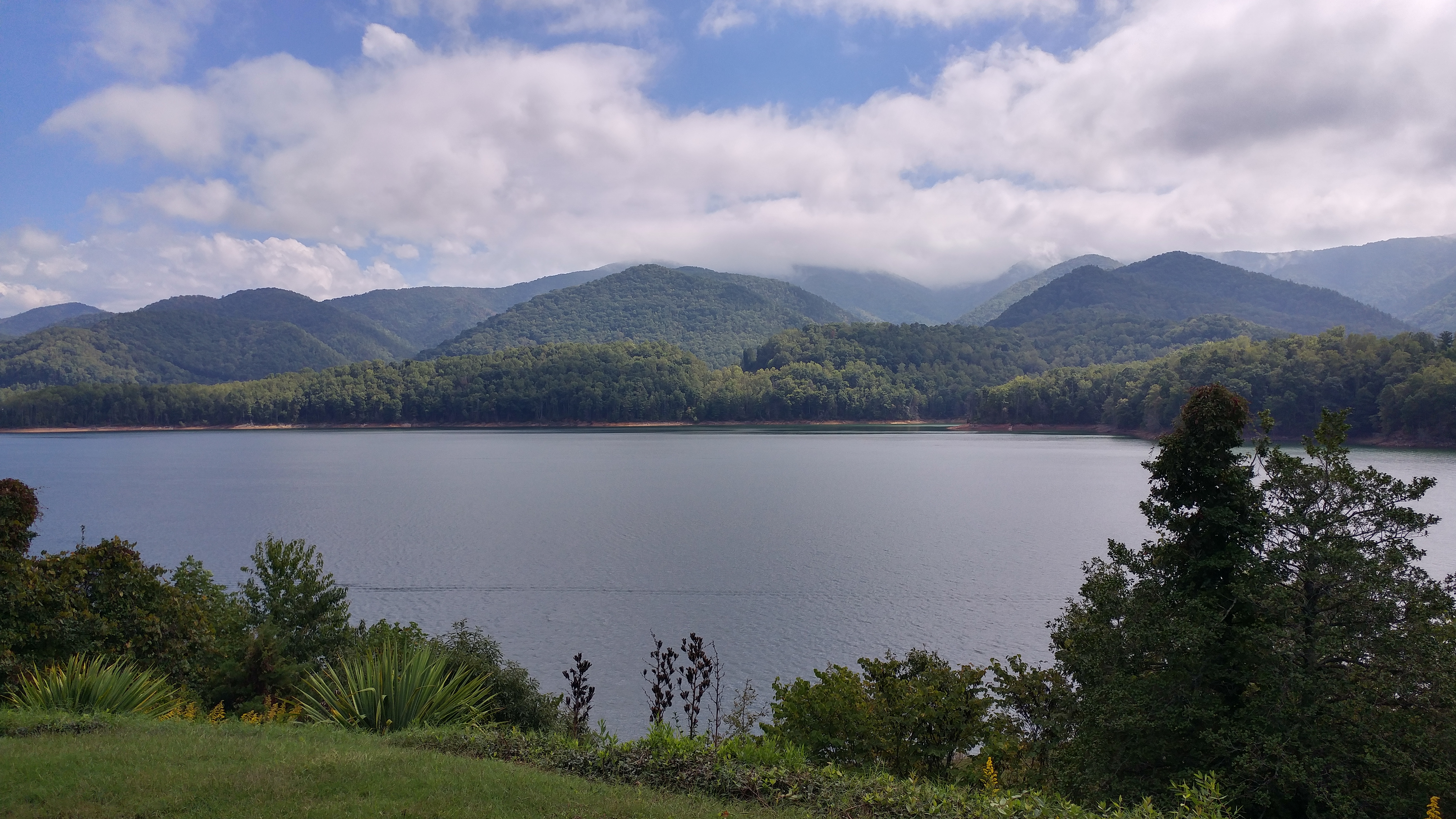
Watauga Lake
6070 Sink Valley Rd
Kyte Hollow Road
15539 Tn-67
Howes Lane
Harbor View Road
329 Harbor View Rd
936 Atwood Rd
Mountain Wynd Lane
449 Linda Ln
115 Harbor View Rd
357 Norman Dugger Rd
2999 Dry Hill Rd
Butler
177 Mcqueen St
741 Mcqueen St
1219 Doe Creek Rd
Recent Searches:
- Elevation of Zimmer Trail, Pennsylvania, USA
- Elevation of 87 Kilmartin Ave, Bristol, CT, USA
- Elevation of Honghe National Nature Reserve, QP95+PJP, Tongjiang, Heilongjiang, Jiamusi, Heilongjiang, China
- Elevation of Hercules Dr, Colorado Springs, CO, USA
- Elevation of Szlak pieszy czarny, Poland
- Elevation of Griffing Blvd, Biscayne Park, FL, USA
- Elevation of Kreuzburger Weg 13, Düsseldorf, Germany
- Elevation of Gateway Blvd SE, Canton, OH, USA
- Elevation of East W.T. Harris Boulevard, E W.T. Harris Blvd, Charlotte, NC, USA
- Elevation of West Sugar Creek, Charlotte, NC, USA