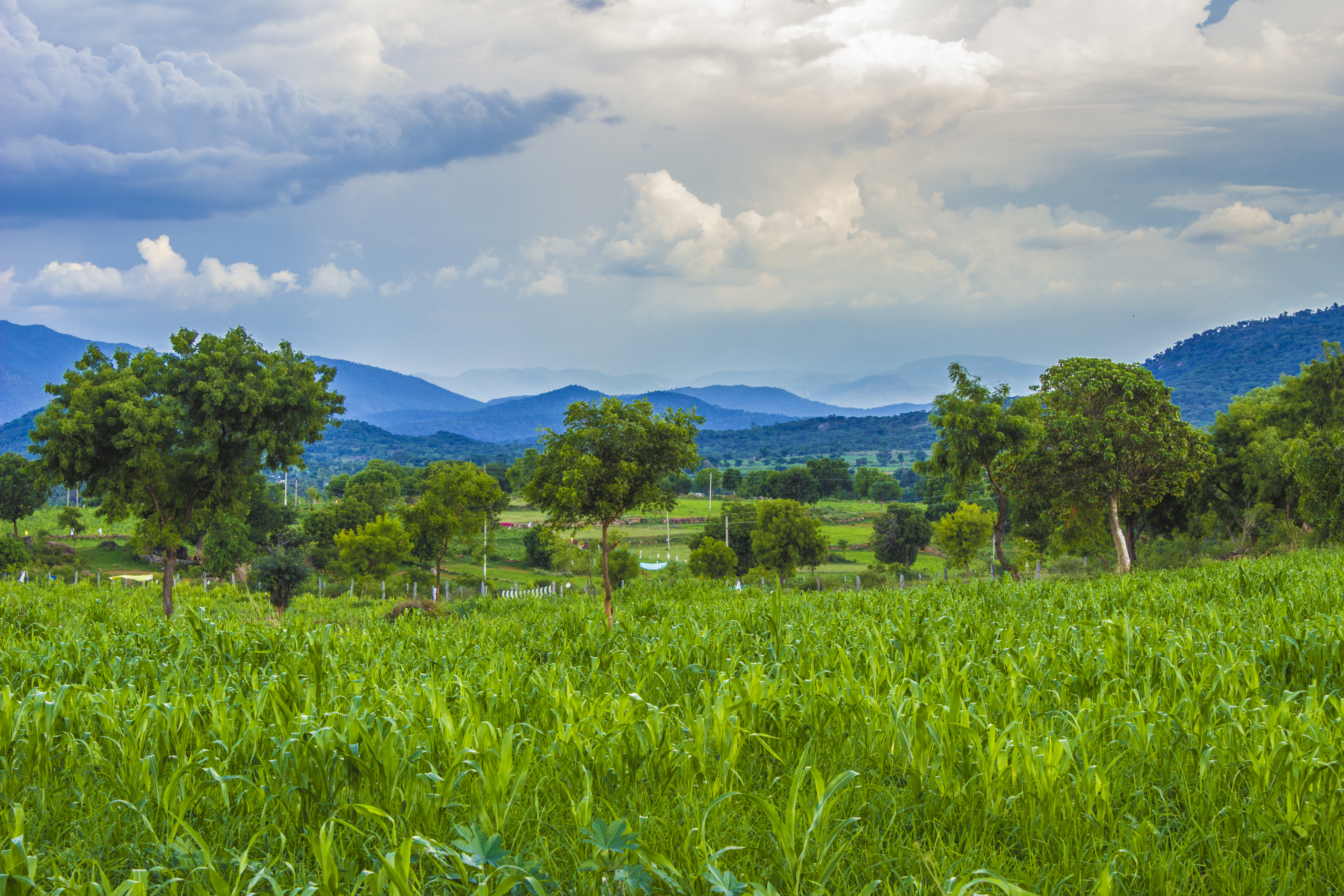
Elevation of Doddabettahalli, Karnataka, India
Location: India > Karnataka > Ramanagara >
Longitude: 77.476838
Latitude: 12.4942548
Elevation: 780m / 2559feet
Barometric Pressure: 92KPa
Elevation Map:
Satellite Map:
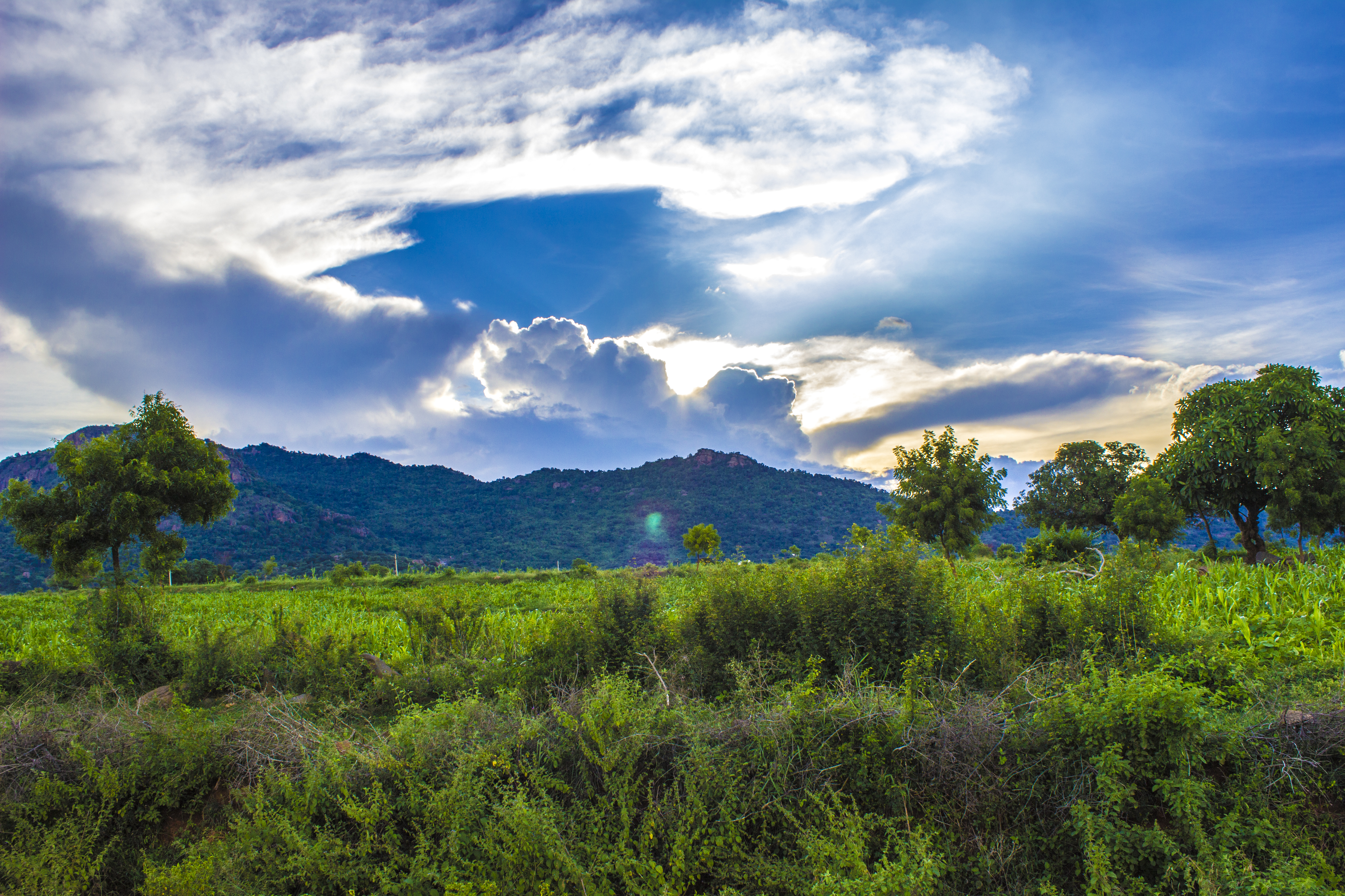
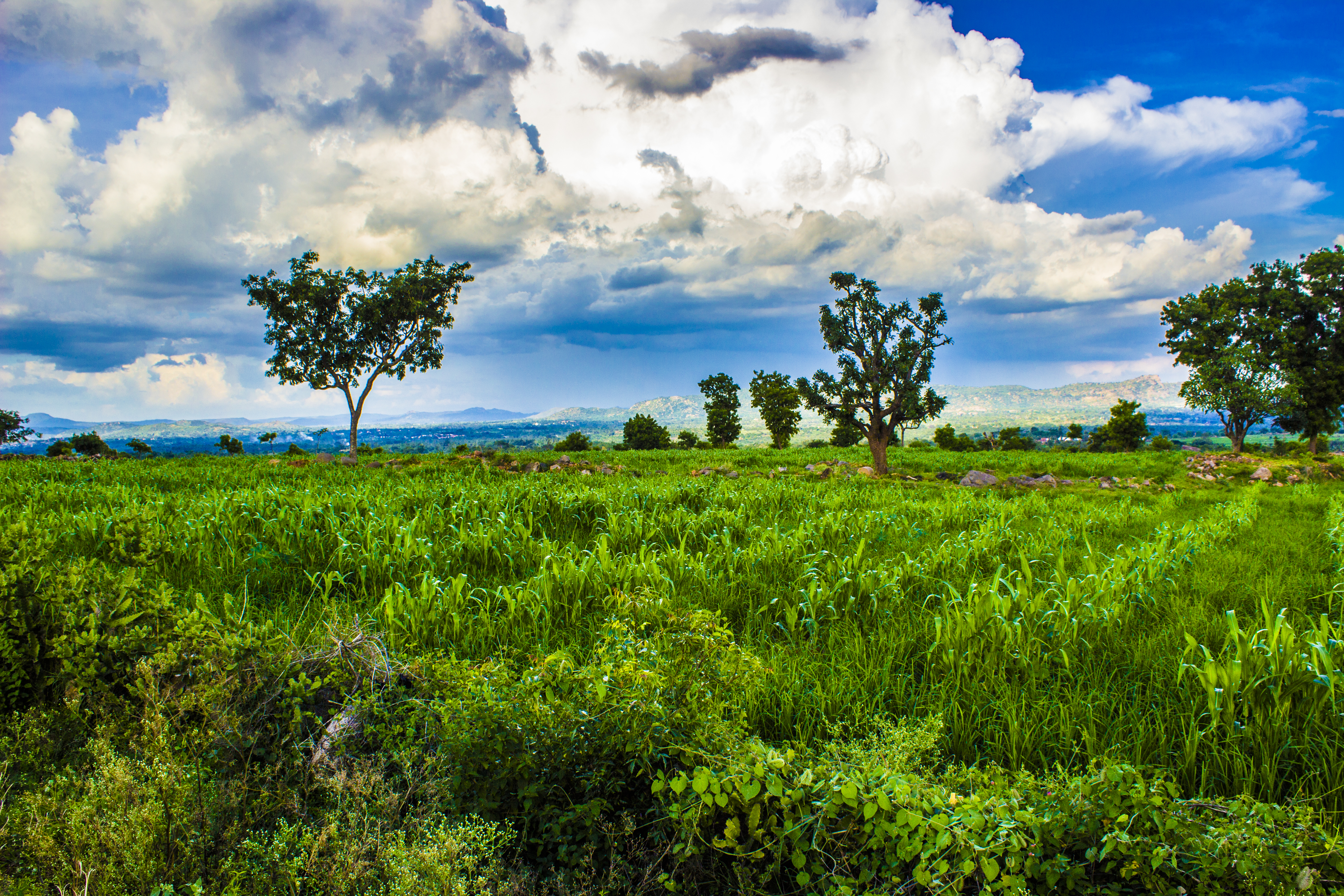
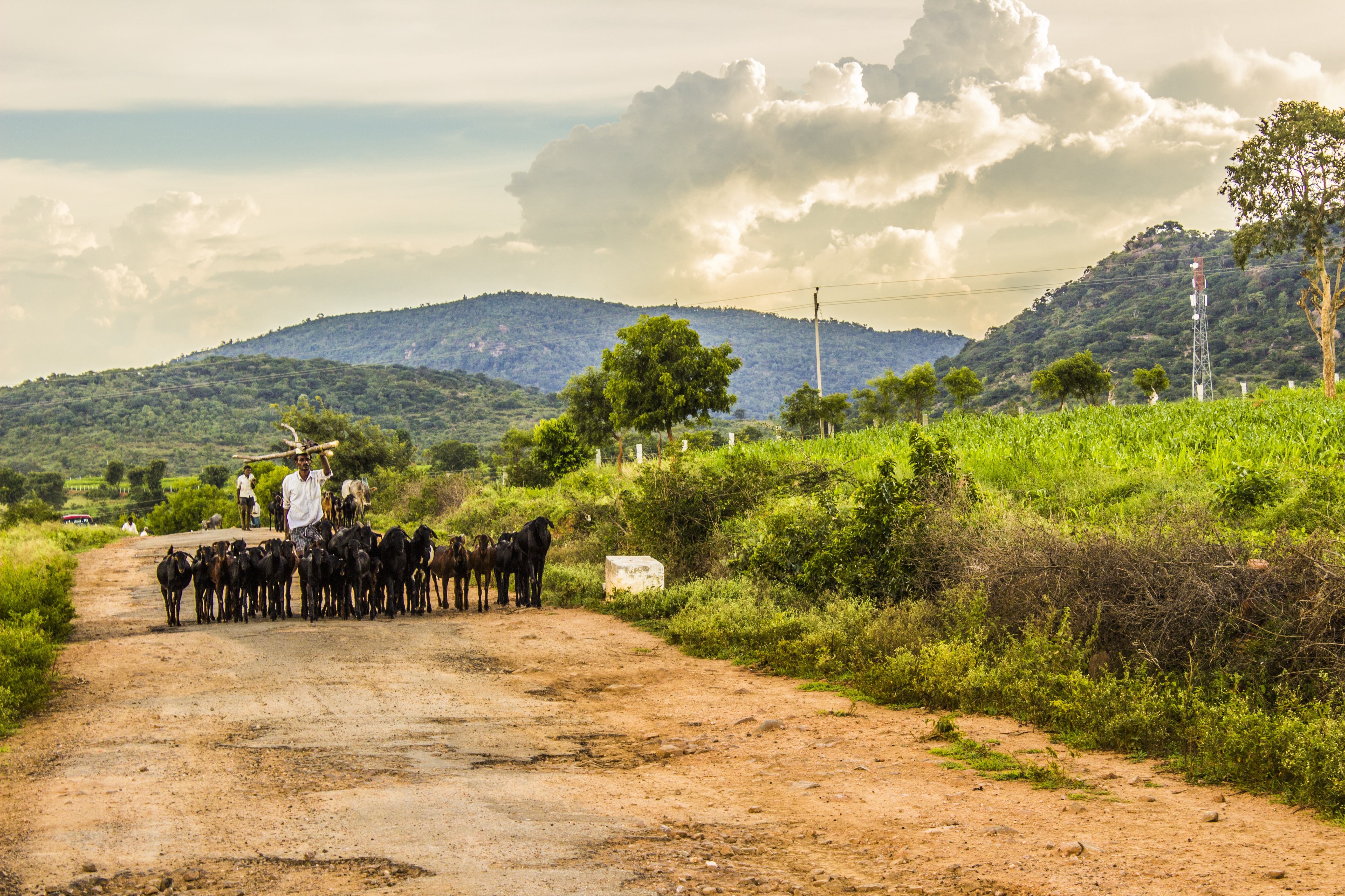
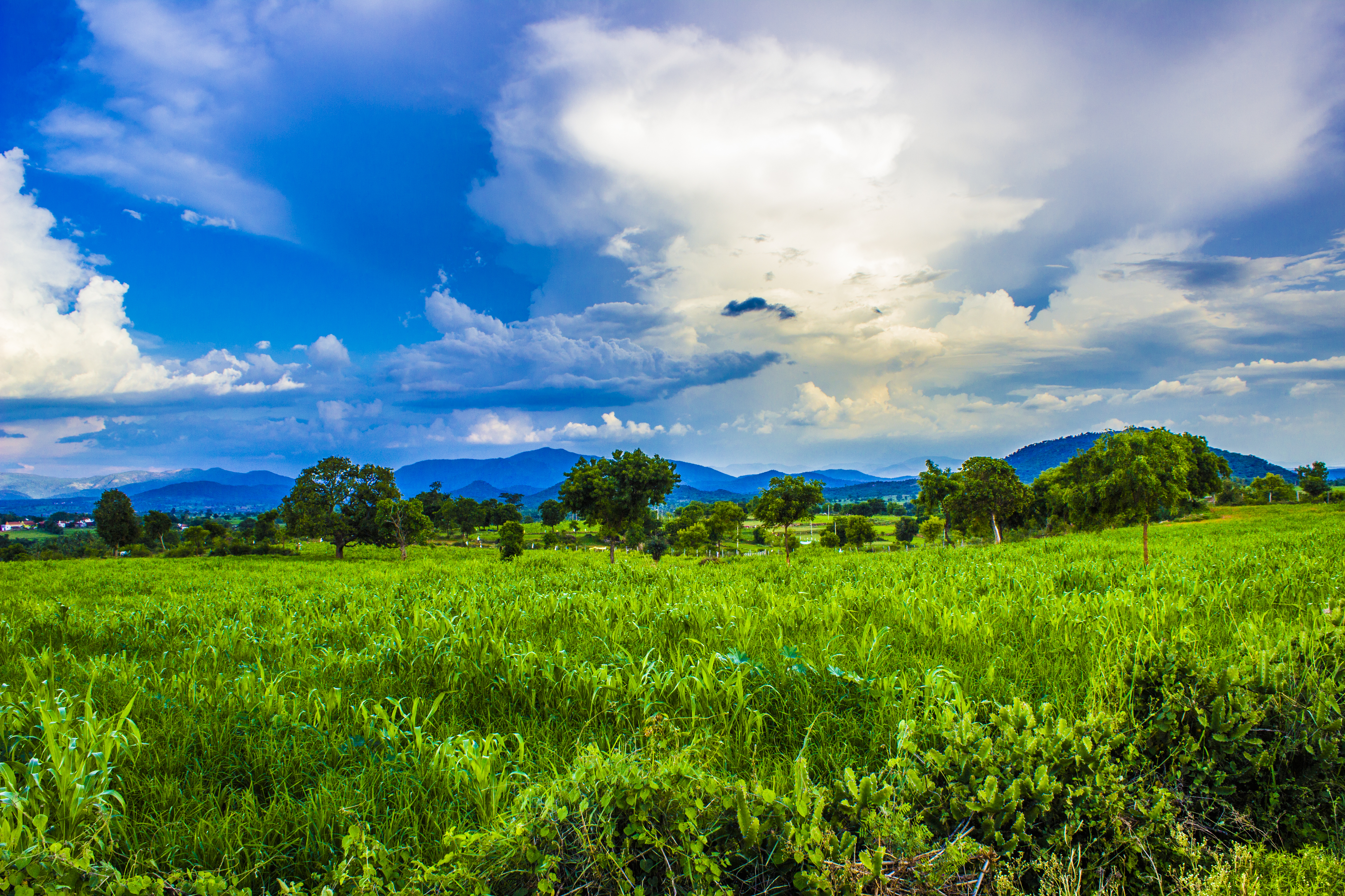
Related Photos:

Black Kite (Milvus migrans)

Sangam - Here, River Arkavati merges with Cauvery.

Main Road

Achalu Betta

Chunchi Falls

Chunchi Falls
Chunchi Falls
Chunchi Falls

Chunchi Falls

Chunchi Falls

Chunchi Falls

Chunchi Falls
Chunchi Falls
Chunchi Falls
Chunchi Falls
Topographic Map of Doddabettahalli, Karnataka, India
Find elevation by address:

Places near Doddabettahalli, Karnataka, India:
Kanakapura
Ramanagara
Bheemasandra
Unnamed Road
Karnataka, India
Marasahalli
Thally
Thally Lake
Kurbarapalli
Hosur - Thally Road
Denkanikottai
Belur
Holiday Valley Farmland Plots
Rasimanal
Namrelli
Billgundala
Bettamugilalam
Hogenakkal
Hogenakkal Waterfalls
Gopinatham Mystery Trails
Recent Searches:
- Elevation of Dog Leg Dr, Minden, NV, USA
- Elevation of Dog Leg Dr, Minden, NV, USA
- Elevation of Kambingan Sa Pansol Atbp., Purok 7 Pansol, Candaba, Pampanga, Philippines
- Elevation of Pinewood Dr, New Bern, NC, USA
- Elevation of Mountain View, CA, USA
- Elevation of Foligno, Province of Perugia, Italy
- Elevation of Blauwestad, Netherlands
- Elevation of Bella Terra Blvd, Estero, FL, USA
- Elevation of Estates Loop, Priest River, ID, USA
- Elevation of Woodland Oak Pl, Thousand Oaks, CA, USA