Elevation of Denkanikottai, Tamil Nadu, India
Location: India > Tamil Nadu > Krishnagiri >
Longitude: 77.7898537
Latitude: 12.5269825
Elevation: 879m / 2884feet
Barometric Pressure: 91KPa
Elevation Map:
Satellite Map:
Related Photos:

Booted Warbler

Panchapalli Dam

Panchapalli Dam

Panchapalli Dam

Camera 360

Panchapalli Dam

Panchapalli Dam

Panchapalli Dam

Panchapalli Dam

Panchapalli Dam
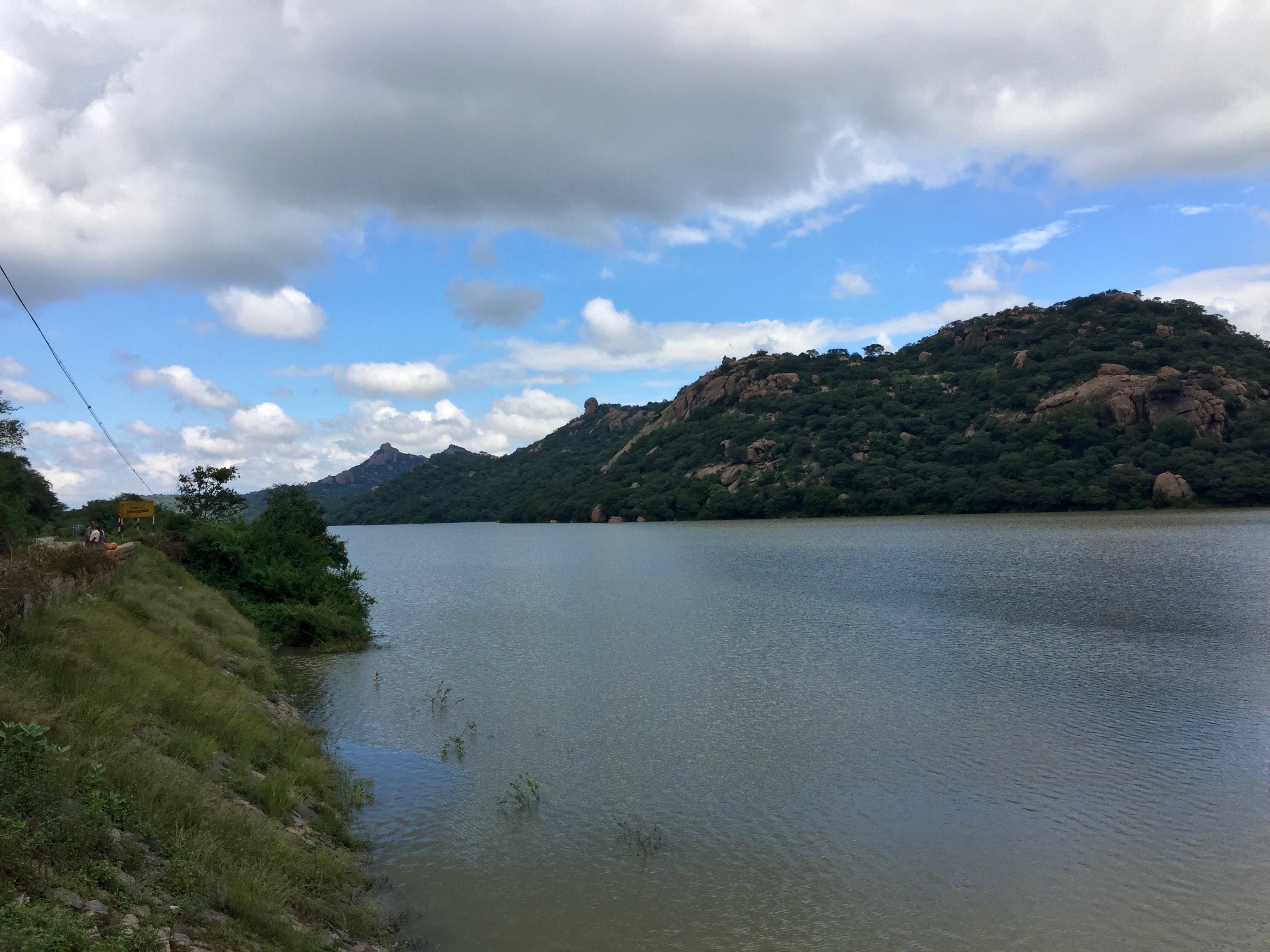
Panchapalli Dam
denkanikottai tamil nadu

C360_2012-10-24-15-48-43

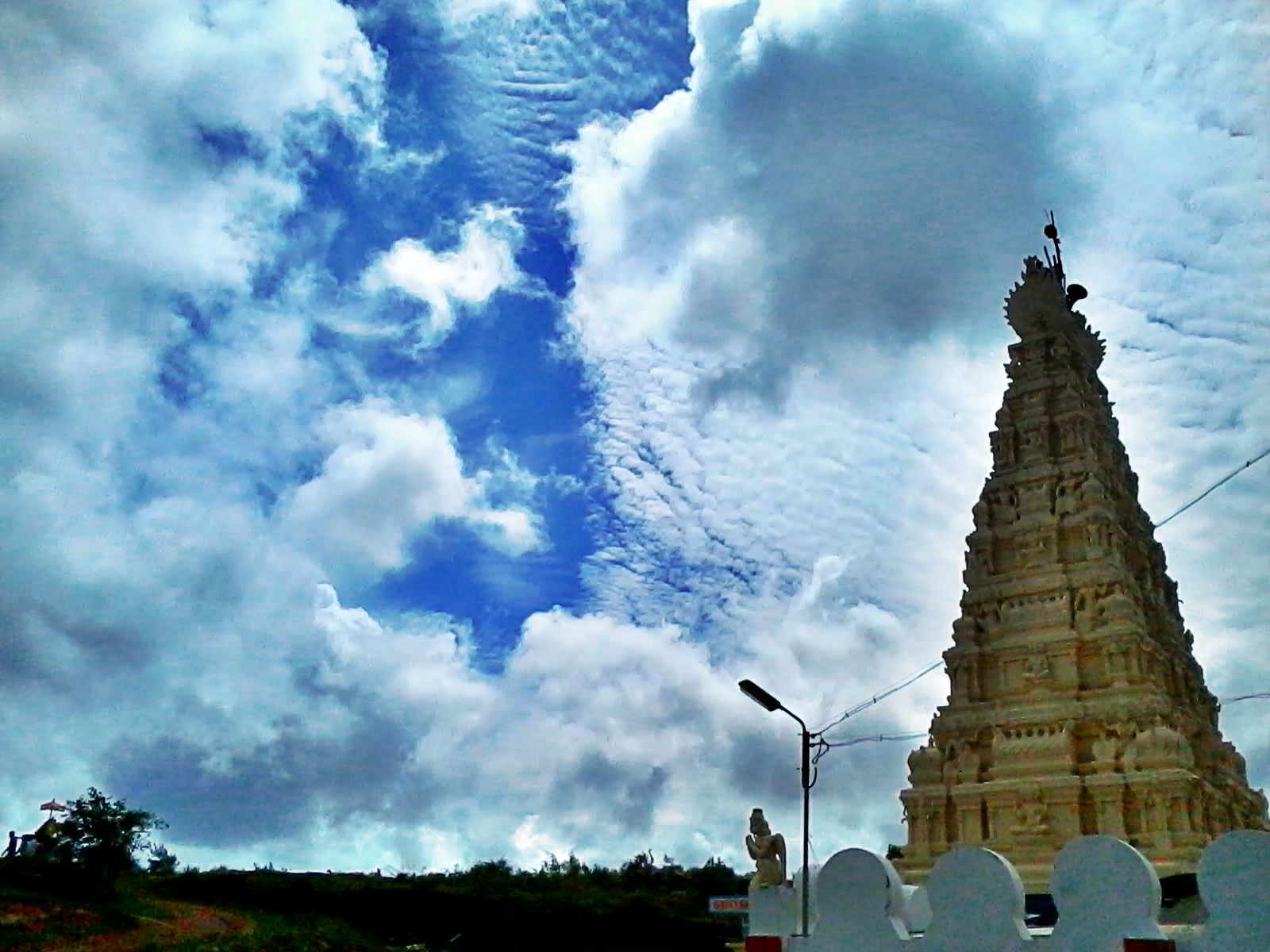
INDIA, 02/2013

INDIA, 02/2013

INDIA, 02/2013
INDIA, 02/2013

INDIA, 02/2013

INDIA, 02/2013

INDIA, 02/2013

INDIA, 02/2013

INDIA, 02/2013

INDIA, 02/2013
Topographic Map of Denkanikottai, Tamil Nadu, India
Find elevation by address:

Places near Denkanikottai, Tamil Nadu, India:
Belur
Holiday Valley Farmland Plots
Namrelli
Hosur - Thally Road
Kurbarapalli
Thally Lake
Thally
Bettamugilalam
Bheemasandra
Unnamed Road
Krishnagiri
Karnataka, India
Marasahalli
Doddabettahalli
Ramanagara
Billgundala
Rasimanal
Kanakapura
Pennagaram
Hogenakkal
Recent Searches:
- Elevation of Kambingan Sa Pansol Atbp., Purok 7 Pansol, Candaba, Pampanga, Philippines
- Elevation of Pinewood Dr, New Bern, NC, USA
- Elevation of Mountain View, CA, USA
- Elevation of Foligno, Province of Perugia, Italy
- Elevation of Blauwestad, Netherlands
- Elevation of Bella Terra Blvd, Estero, FL, USA
- Elevation of Estates Loop, Priest River, ID, USA
- Elevation of Woodland Oak Pl, Thousand Oaks, CA, USA
- Elevation of Brownsdale Rd, Renfrew, PA, USA
- Elevation of Corcoran Ln, Suffolk, VA, USA