Elevation of Doda
Longitude: 75.5480491
Latitude: 33.1457497
Elevation: -10000m / -32808feet
Barometric Pressure: 295KPa
Elevation Map:
Satellite Map:
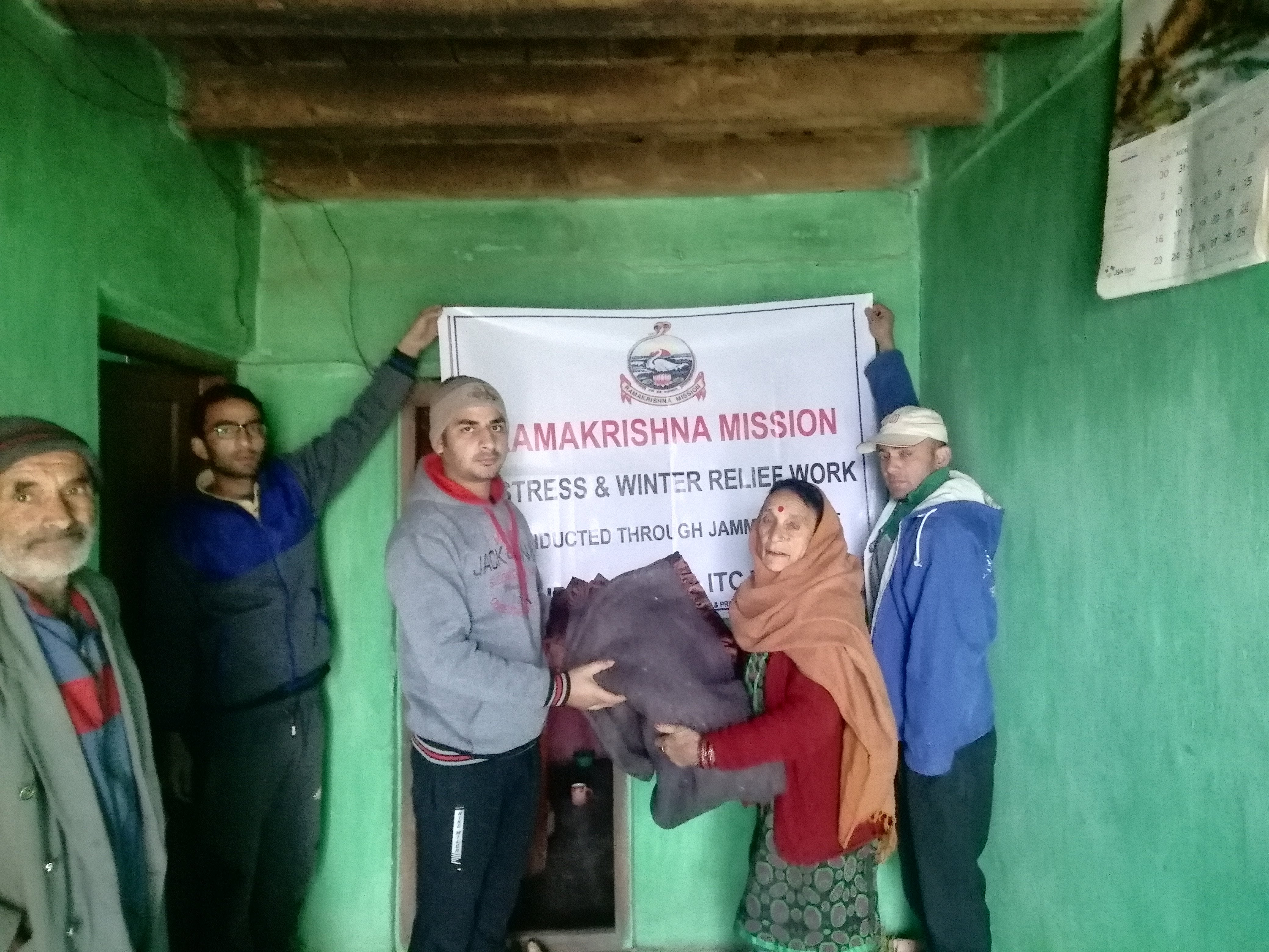
Related Photos:

Winter Relief, Ramakrishna Mission, Jammu, January 2019

Winter Relief, Ramakrishna Mission, Jammu, January 2019
Winter Relief, Ramakrishna Mission, Jammu, January 2019
Topographic Map of Doda
Find elevation by address:

Places near Doda:
Doda
Patnitop
Bhaderwah Fire Station
Ganote
Bhaderwah - Chamba Road
Ramban
Udhampur Bus Stand Road
Udhampur
Leray
Kokernag
Jawahar Tunnel
J&k Bank
Vaishno Devi
Katra
Domel
Anantnag Ktm
Kathua
Dhar Khurd
Cantonment Board Bakloh
Dhar Kalan
Recent Searches:
- Elevation of Congressional Dr, Stevensville, MD, USA
- Elevation of Bellview Rd, McLean, VA, USA
- Elevation of Stage Island Rd, Chatham, MA, USA
- Elevation of Shibuya Scramble Crossing, 21 Udagawacho, Shibuya City, Tokyo -, Japan
- Elevation of Jadagoniai, Kaunas District Municipality, Lithuania
- Elevation of Pagonija rock, Kranto 7-oji g. 8"N, Kaunas, Lithuania
- Elevation of Co Rd 87, Jamestown, CO, USA
- Elevation of Tenjo, Cundinamarca, Colombia
- Elevation of Côte-des-Neiges, Montreal, QC H4A 3J6, Canada
- Elevation of Bobcat Dr, Helena, MT, USA