Elevation of Dhar Khurd, Punjab, India
Location: India > Punjab > Pathankot >
Longitude: 75.8272482
Latitude: 32.426728
Elevation: 569m / 1867feet
Barometric Pressure: 95KPa
Elevation Map:
Satellite Map:
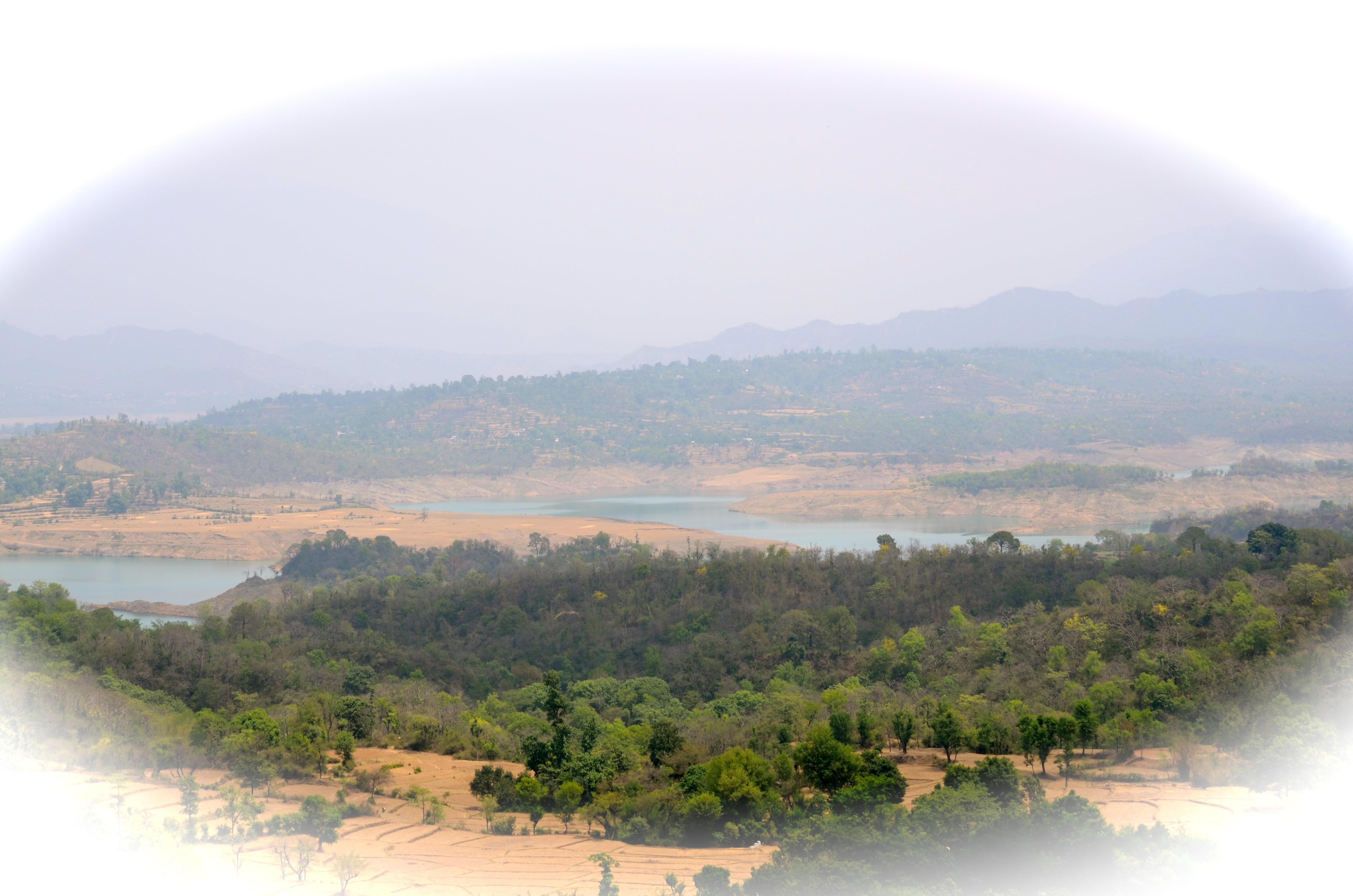
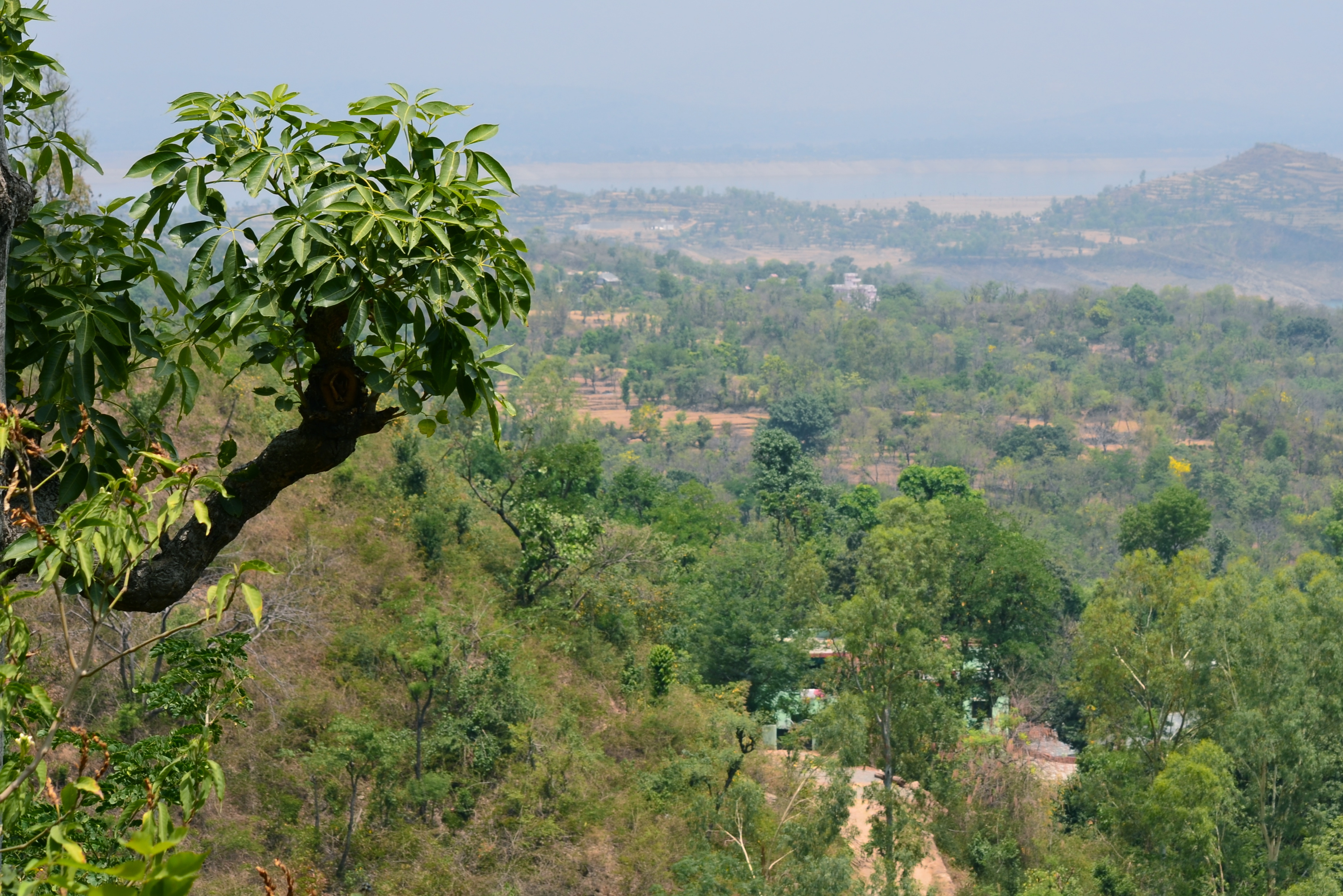
Related Photos:
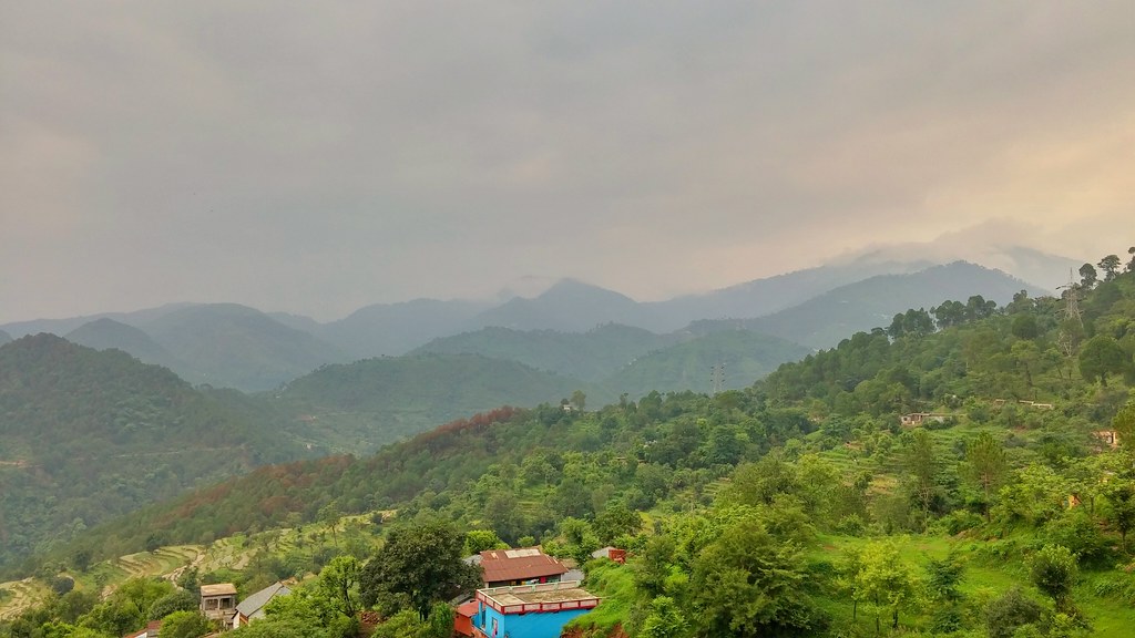
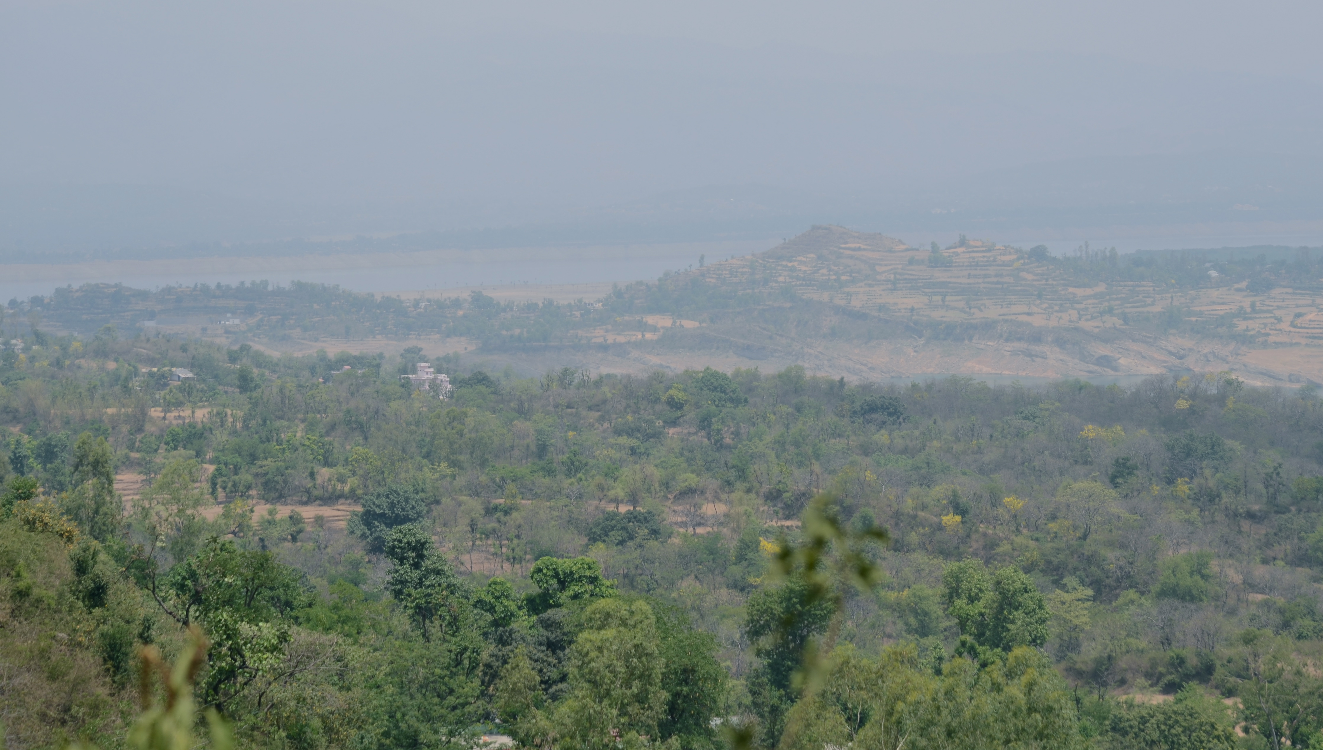
CSP_9596.JPG
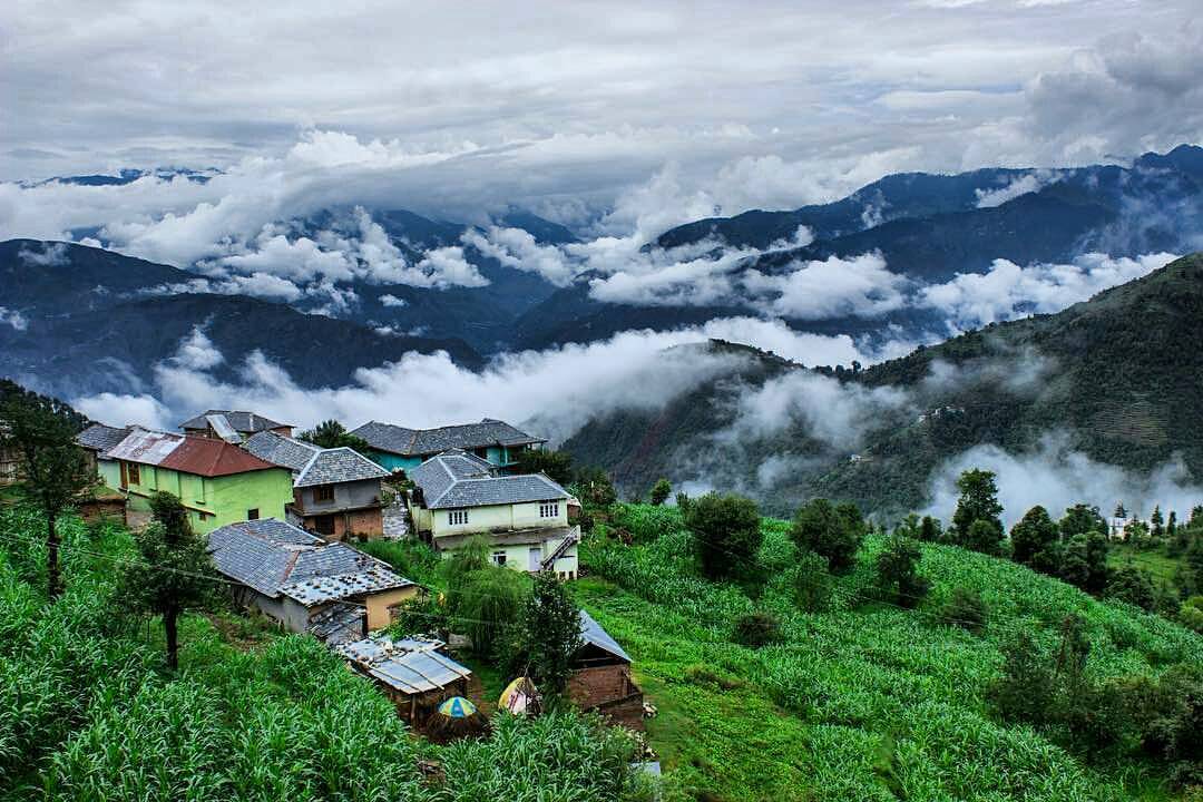
Old world charm to find the solitude in Himalayan village amidst the clouds! Life is about little #discoveries and this village in #Dalhousie, a tiny #hamlet in the upper #Chamba region of #Himayalas is one of them. The Himalayas are a popular place to r
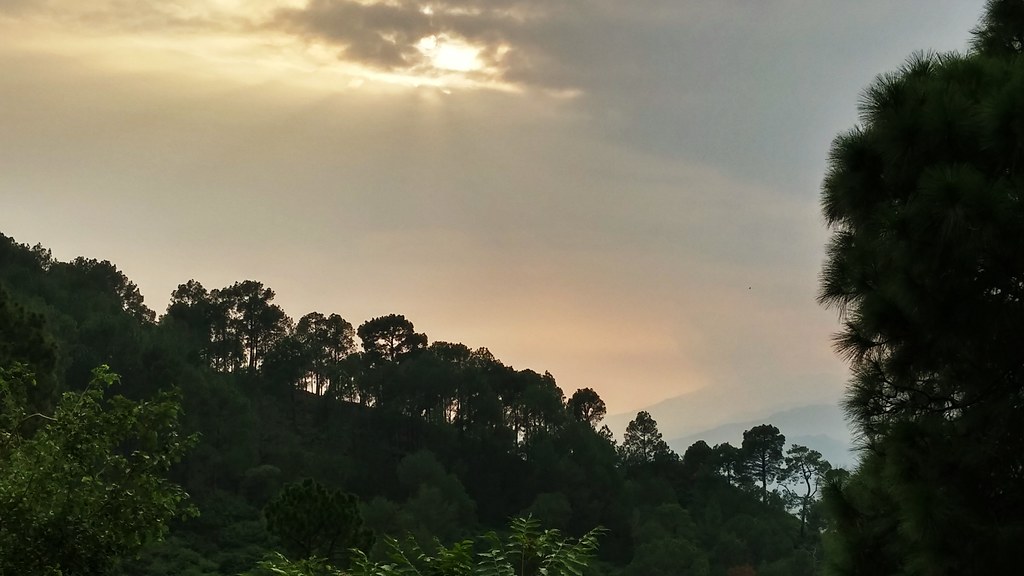
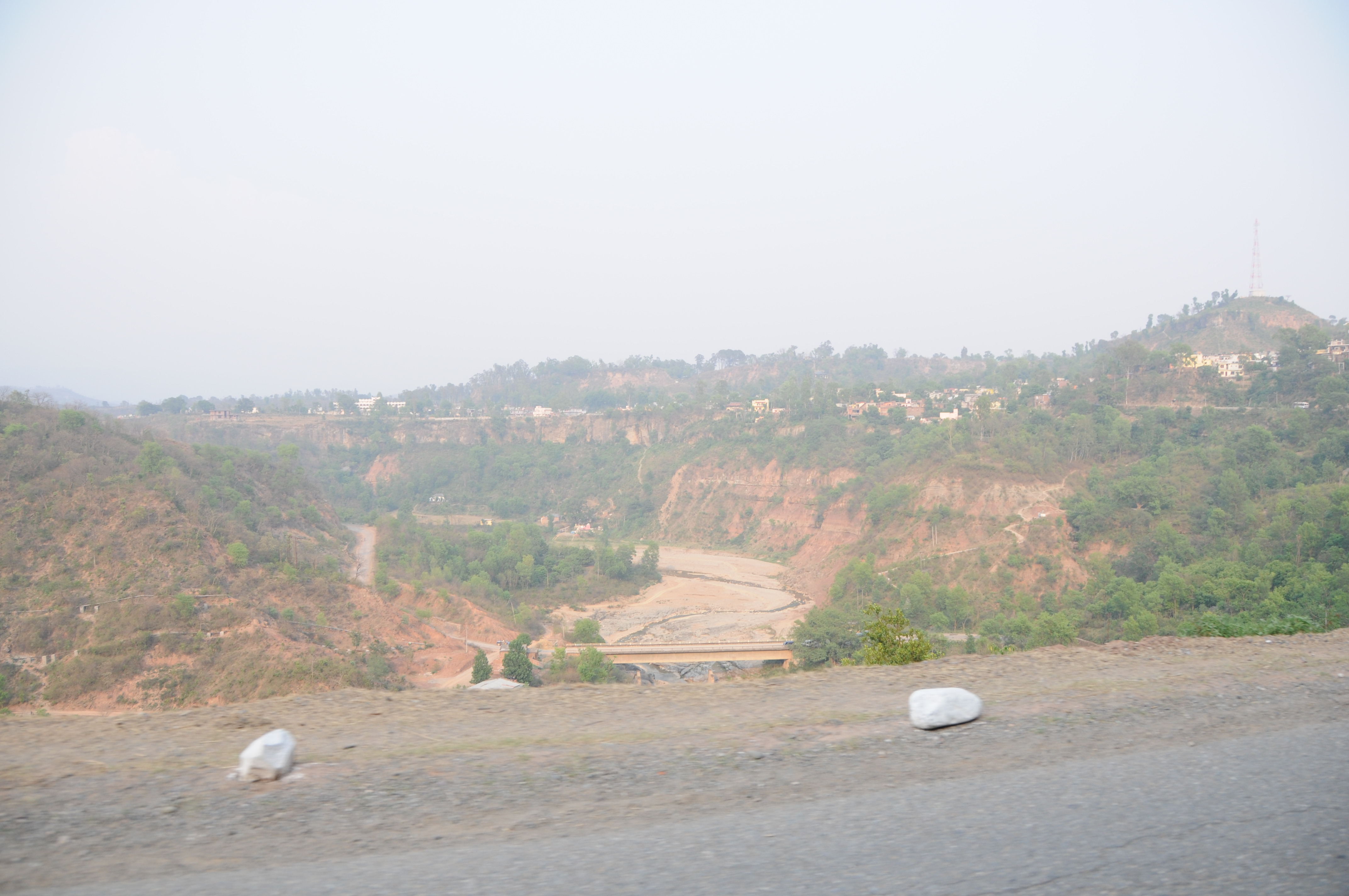
Driving to Dalhousie
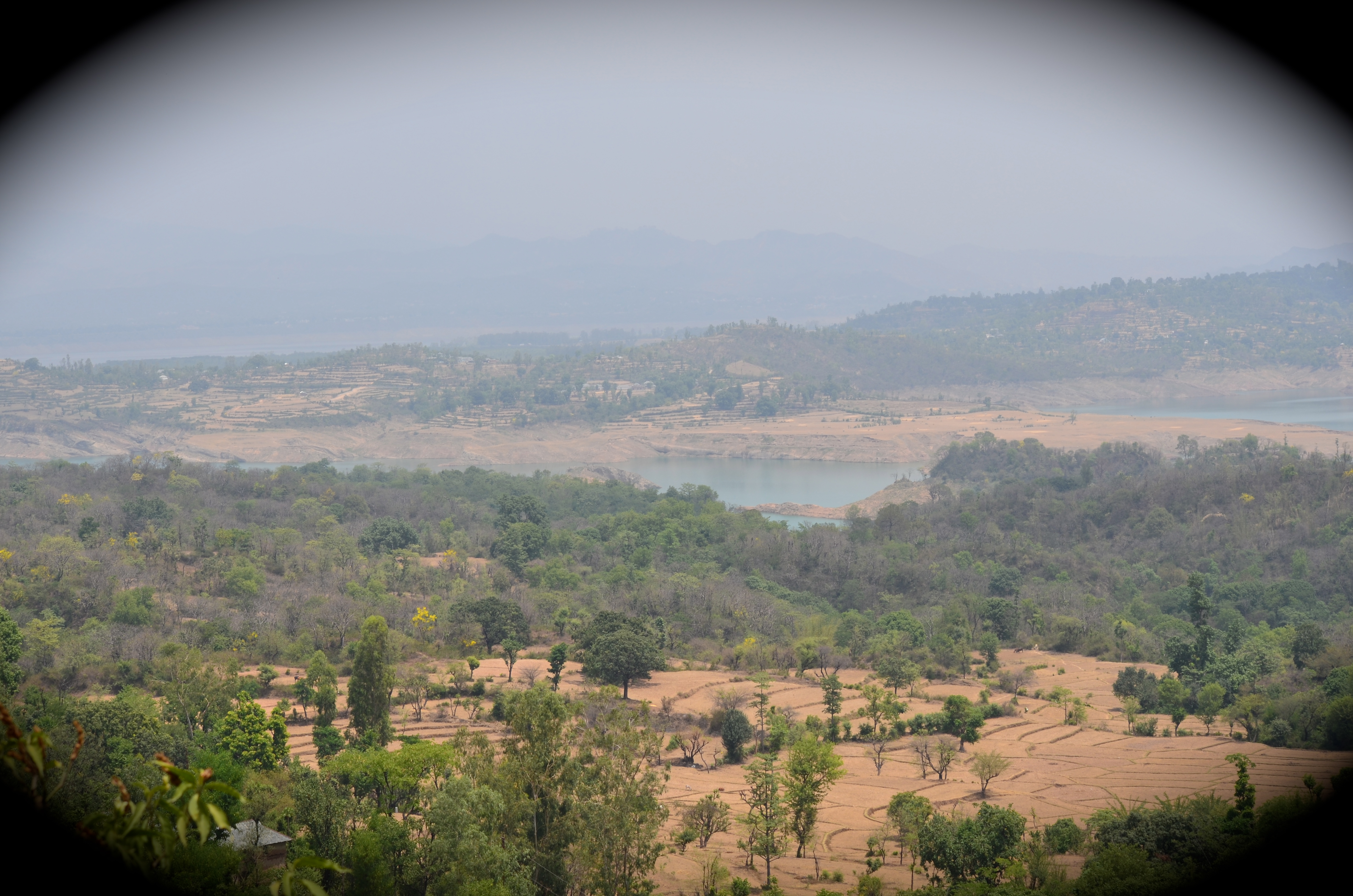
Way to Dalhousie 3
Driving to Dalhousie
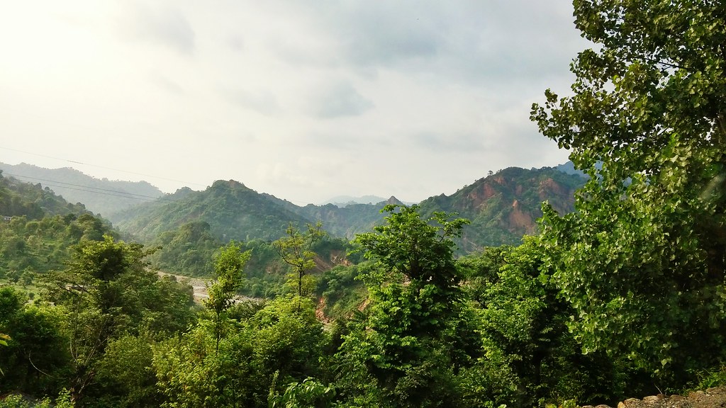
Driving to Dalhousie
Way to Dalhousie 8
Way to Dalhousie 1
Way to Dalhousie 5

Road to Dalhousie
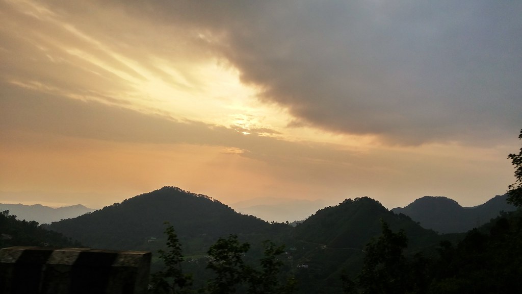
Driving to Dalhousie
Topographic Map of Dhar Khurd, Punjab, India
Find elevation by address:

Places near Dhar Khurd, Punjab, India:
Dhar Kalan
Cantonment Board Bakloh
Kathua
Bhaderwah - Chamba Road
Bhaderwah Fire Station
Doda
Doda
Patnitop
Udhampur
Udhampur Bus Stand Road
Leray
Gurudwara Sangat
Domel
Jammu Tawi
Lemon Tree Hotel, Jammu
Ganote
Jammu
Jammu Airport
Ramban
Katra
Recent Searches:
- Elevation of Spaceport America, Co Rd A, Truth or Consequences, NM, USA
- Elevation of Warwick, RI, USA
- Elevation of Fern Rd, Whitmore, CA, USA
- Elevation of 62 Abbey St, Marshfield, MA, USA
- Elevation of Fernwood, Bradenton, FL, USA
- Elevation of Felindre, Swansea SA5 7LU, UK
- Elevation of Leyte Industrial Development Estate, Isabel, Leyte, Philippines
- Elevation of W Granada St, Tampa, FL, USA
- Elevation of Pykes Down, Ivybridge PL21 0BY, UK
- Elevation of Jalan Senandin, Lutong, Miri, Sarawak, Malaysia