Elevation of Dixmont, ME, USA
Location: United States > Maine > Penobscot County >
Longitude: -69.162822
Latitude: 44.6803471
Elevation: 159m / 522feet
Barometric Pressure: 99KPa
Elevation Map:
Satellite Map:
Related Photos:
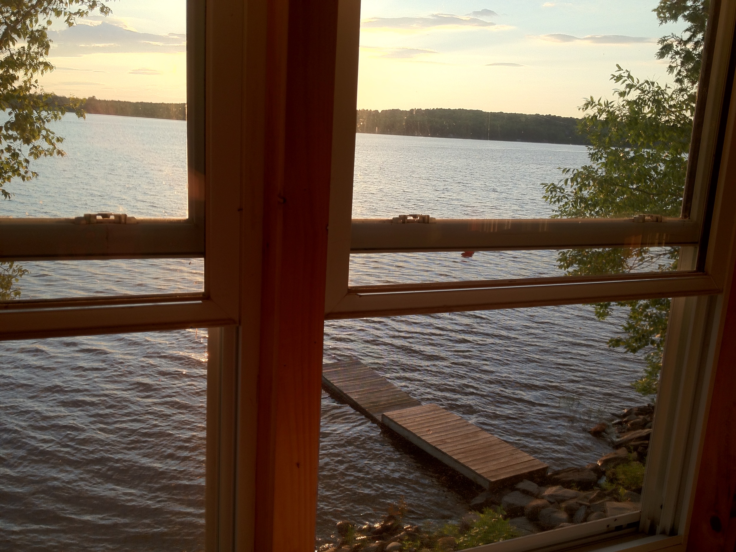
View from 2nd story
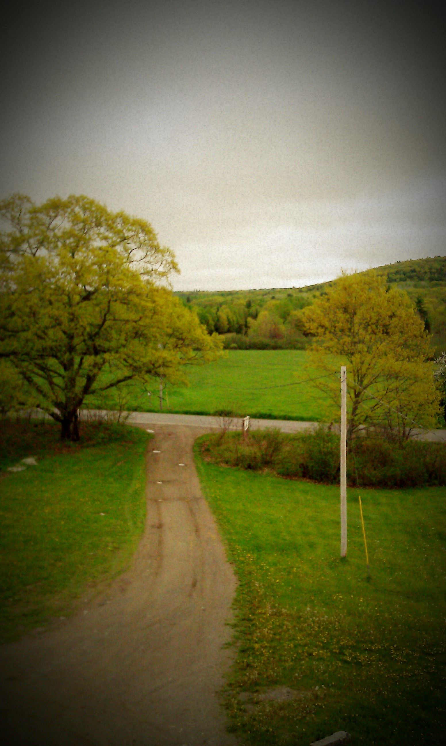
The view down Piper Mountain
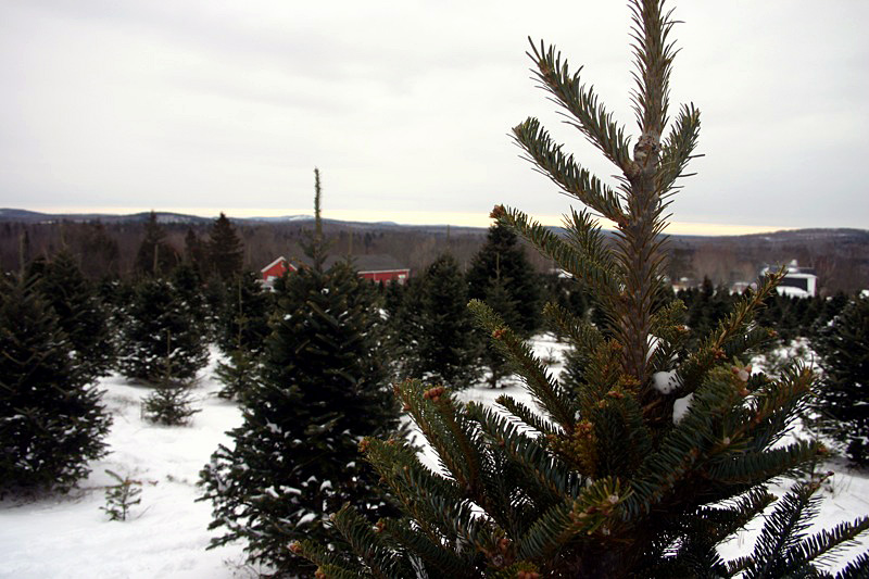
Some pics of my landscapes

Chris and Anne

Sunset over Unity Pond
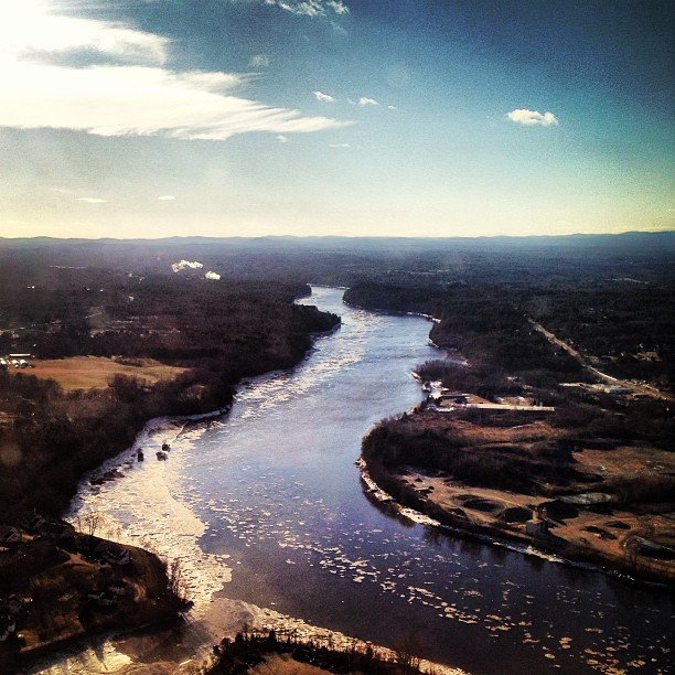
Maine.
Fall At Lake Winnecook
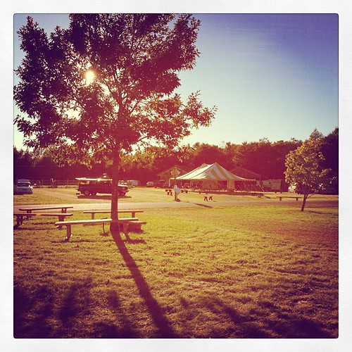
Gorgeous day for setting up! Today the fairground feels almost like Common Ground, but so very quiet. #commonground #fairground #maine

Camera Roll-30
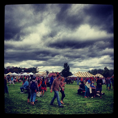
Menacing skies did not deter an insane amount of people from visiting the Common Ground Fair today! We had another awesome day. Met so many fantastic people! #commonground #cgcf

Good morning CGCF! So excited!! #commonground #fairground #maine
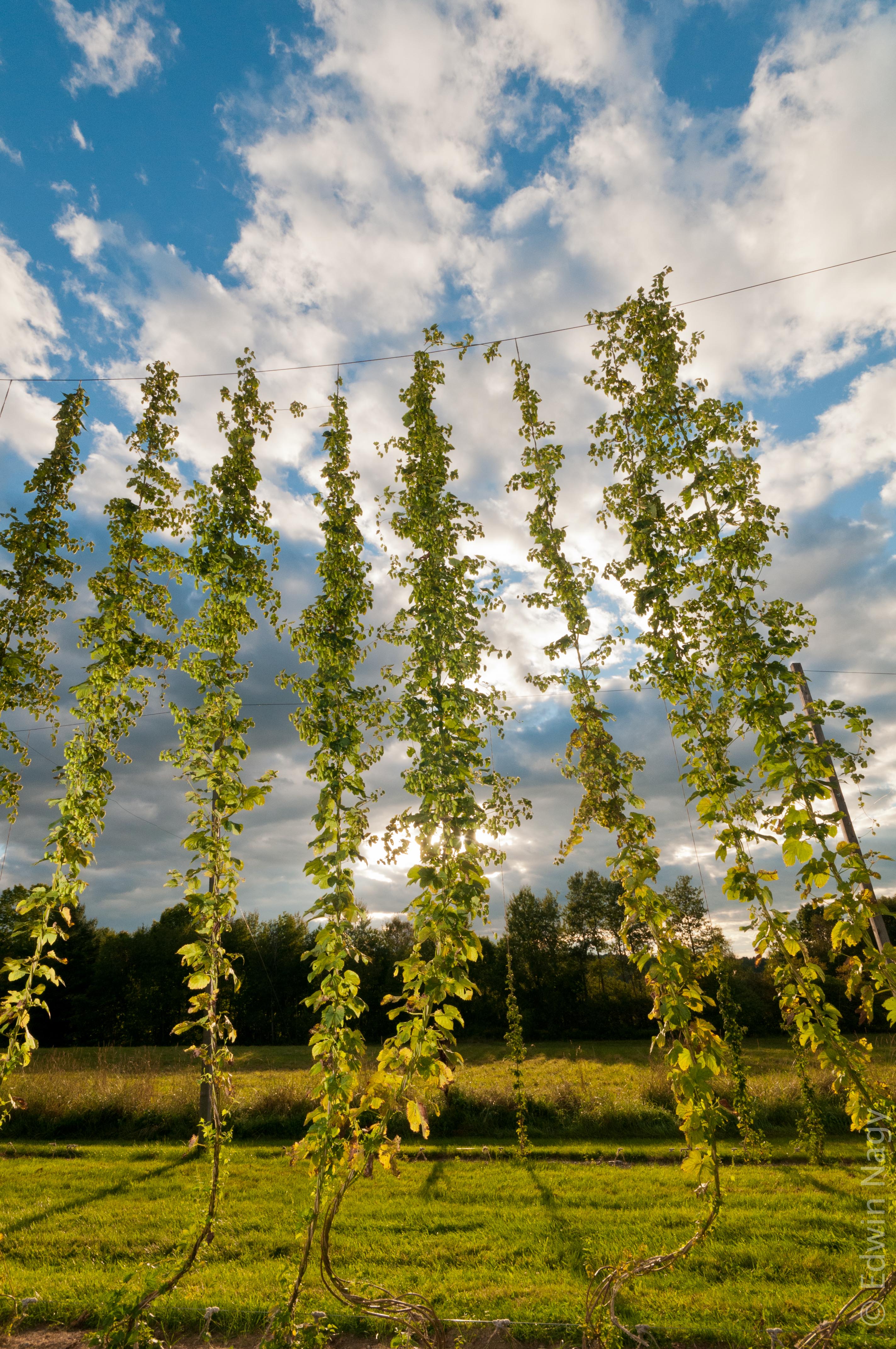
Hops at Elm Hill Farm, ME
Camera Roll-16
Camera Roll-32
Sunset over Unity Pond
Camera Roll-12

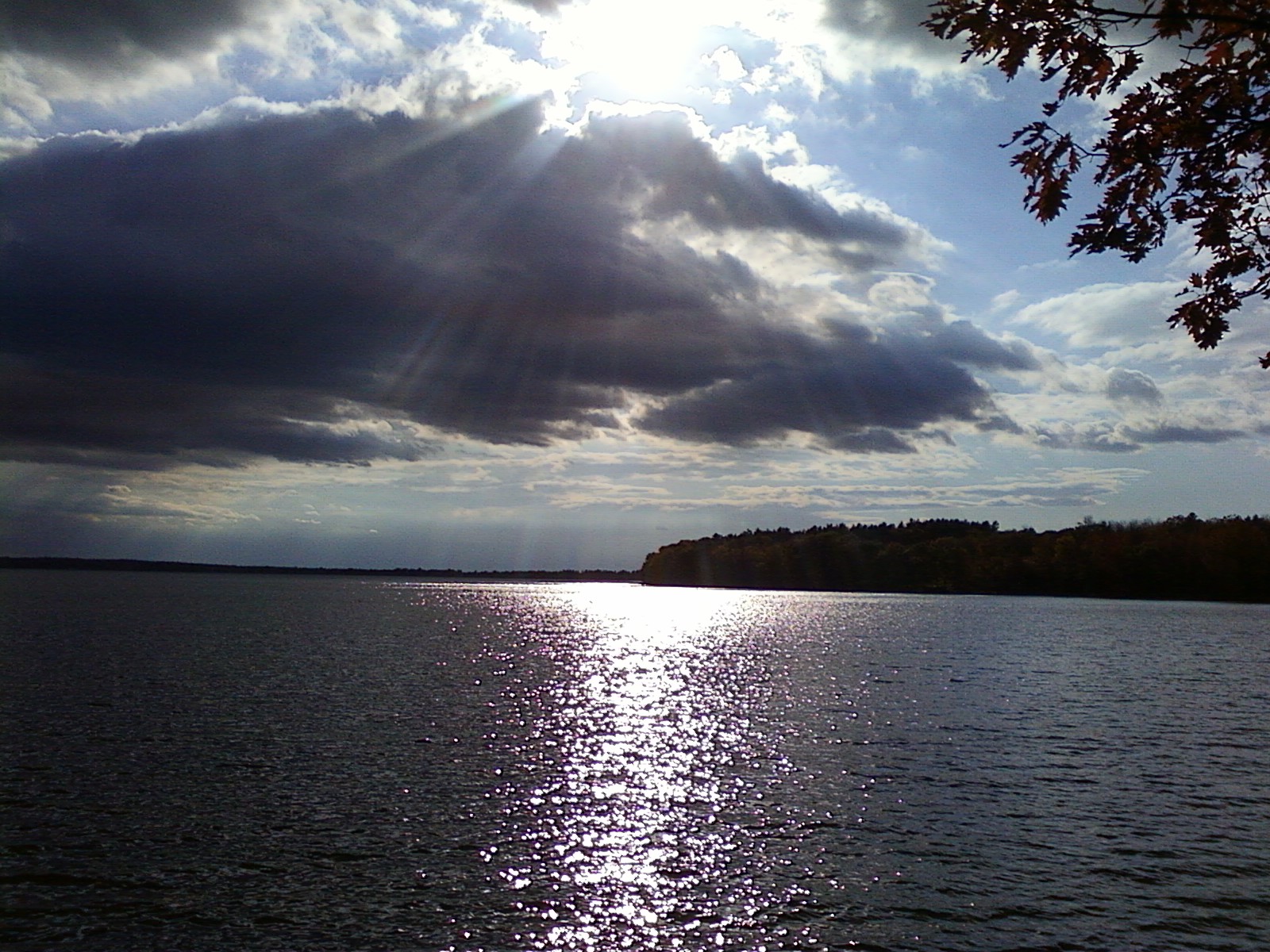
Sunset over Unity Pond
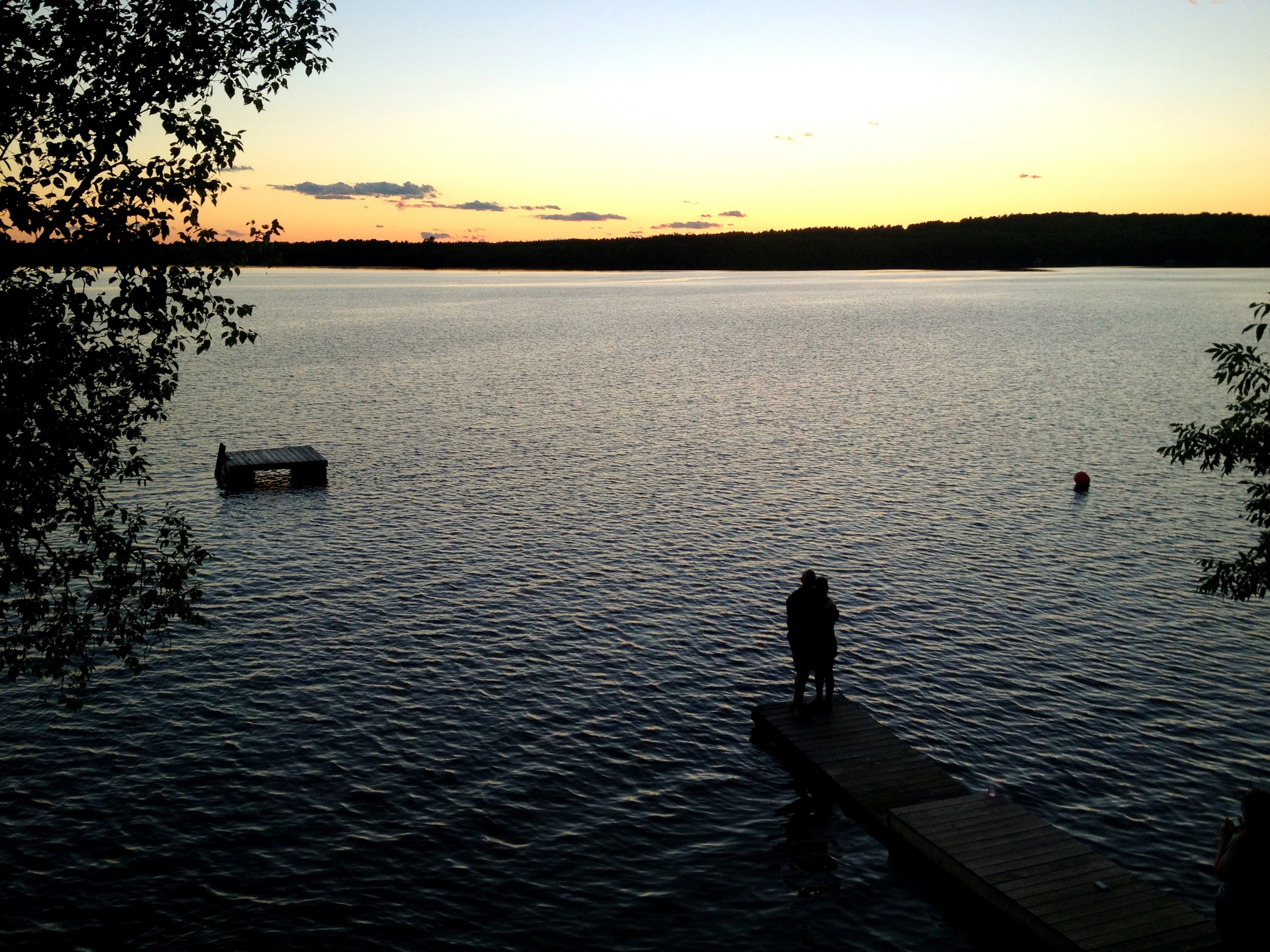
Unity Pond Sunset
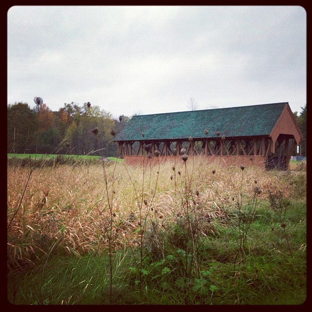
Field of Dreams covered bridge

Saturday's end. #cgcf2013 #commonground
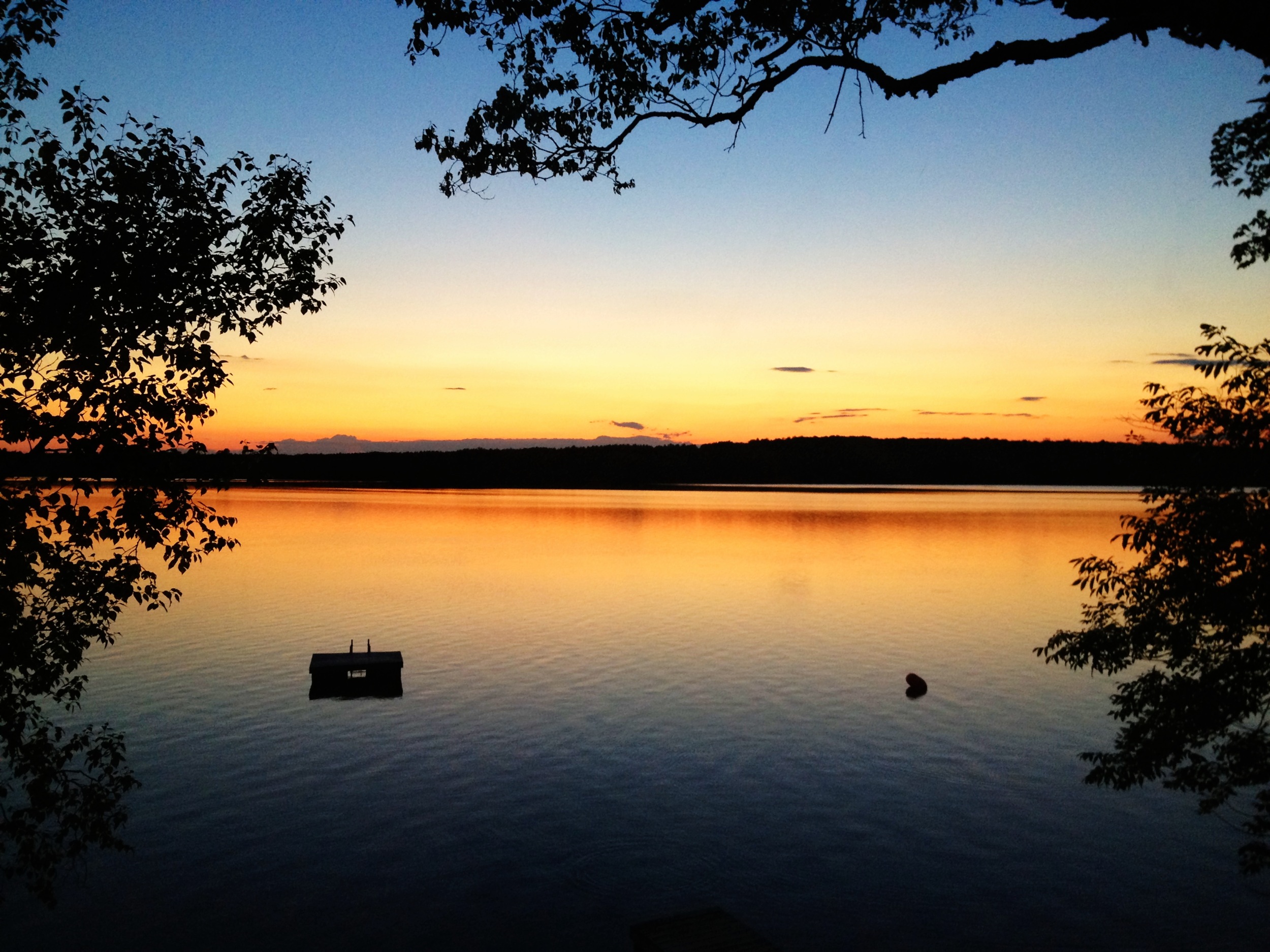
Sunset over Unity Pond

Sunset over Unity Pond
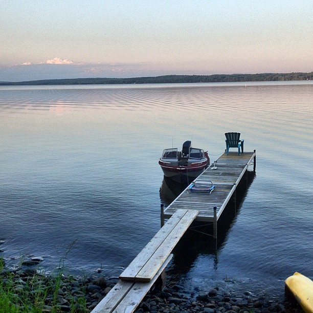
At Unity Pond
Topographic Map of Dixmont, ME, USA
Find elevation by address:

Places in Dixmont, ME, USA:
Places near Dixmont, ME, USA:
678 Moosehead Trail
Kennebec Rd, Dixmont, ME, USA
Palmer Meadow Road
Sullivan Way
Jackson
433 Bagley Hill Rd
Troy
146 Files Hill Rd
Bangor Rd, Troy, ME, USA
350 Moulton Rd
350 Moulton Rd
350 Moulton Rd
Thorndike
Palmer Road
Mudgett Road
Bangor Rd, Troy, ME, USA
2639 Kennebec Rd
2639 Kennebec Rd
797 Me-100
453 Back Brooks Rd
Recent Searches:
- Elevation of Corso Fratelli Cairoli, 35, Macerata MC, Italy
- Elevation of Tallevast Rd, Sarasota, FL, USA
- Elevation of 4th St E, Sonoma, CA, USA
- Elevation of Black Hollow Rd, Pennsdale, PA, USA
- Elevation of Oakland Ave, Williamsport, PA, USA
- Elevation of Pedrógão Grande, Portugal
- Elevation of Klee Dr, Martinsburg, WV, USA
- Elevation of Via Roma, Pieranica CR, Italy
- Elevation of Tavkvetili Mountain, Georgia
- Elevation of Hartfords Bluff Cir, Mt Pleasant, SC, USA