Elevation of Back Brooks Rd, Monroe, ME, USA
Location: United States > Maine > Waldo County > Monroe >
Longitude: -69.045864
Latitude: 44.5836694
Elevation: 108m / 354feet
Barometric Pressure: 100KPa
Elevation Map:
Satellite Map:
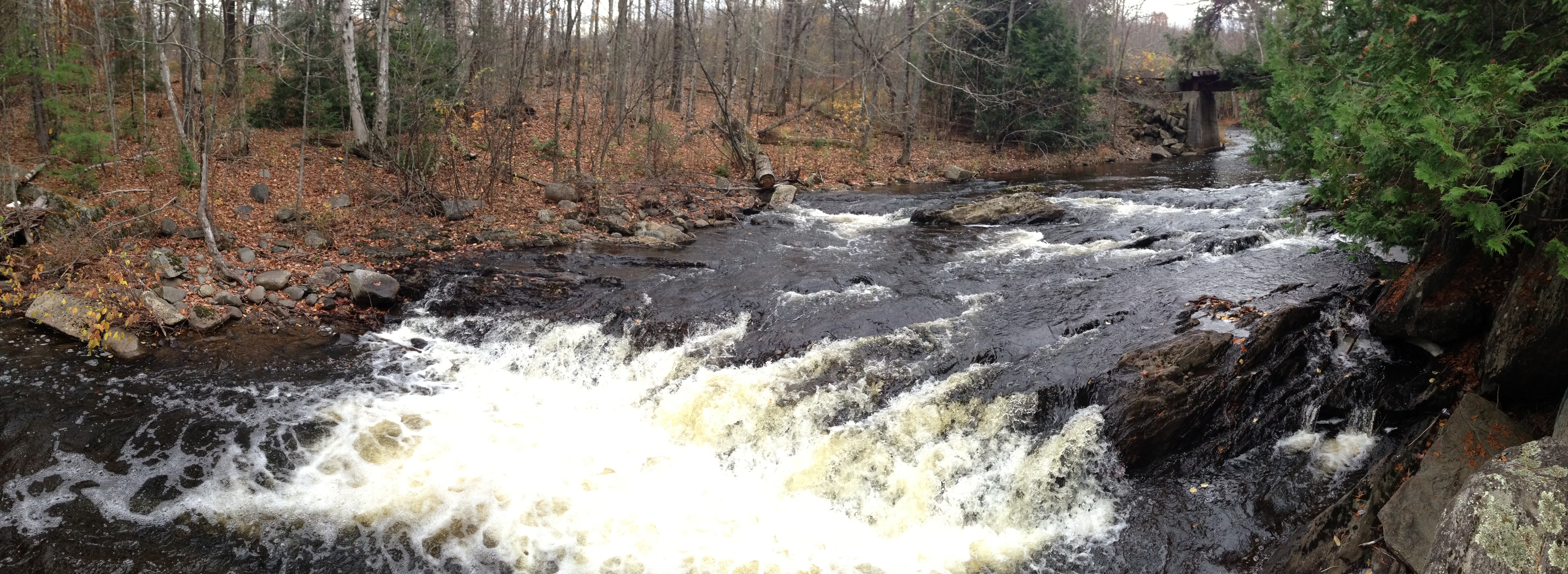
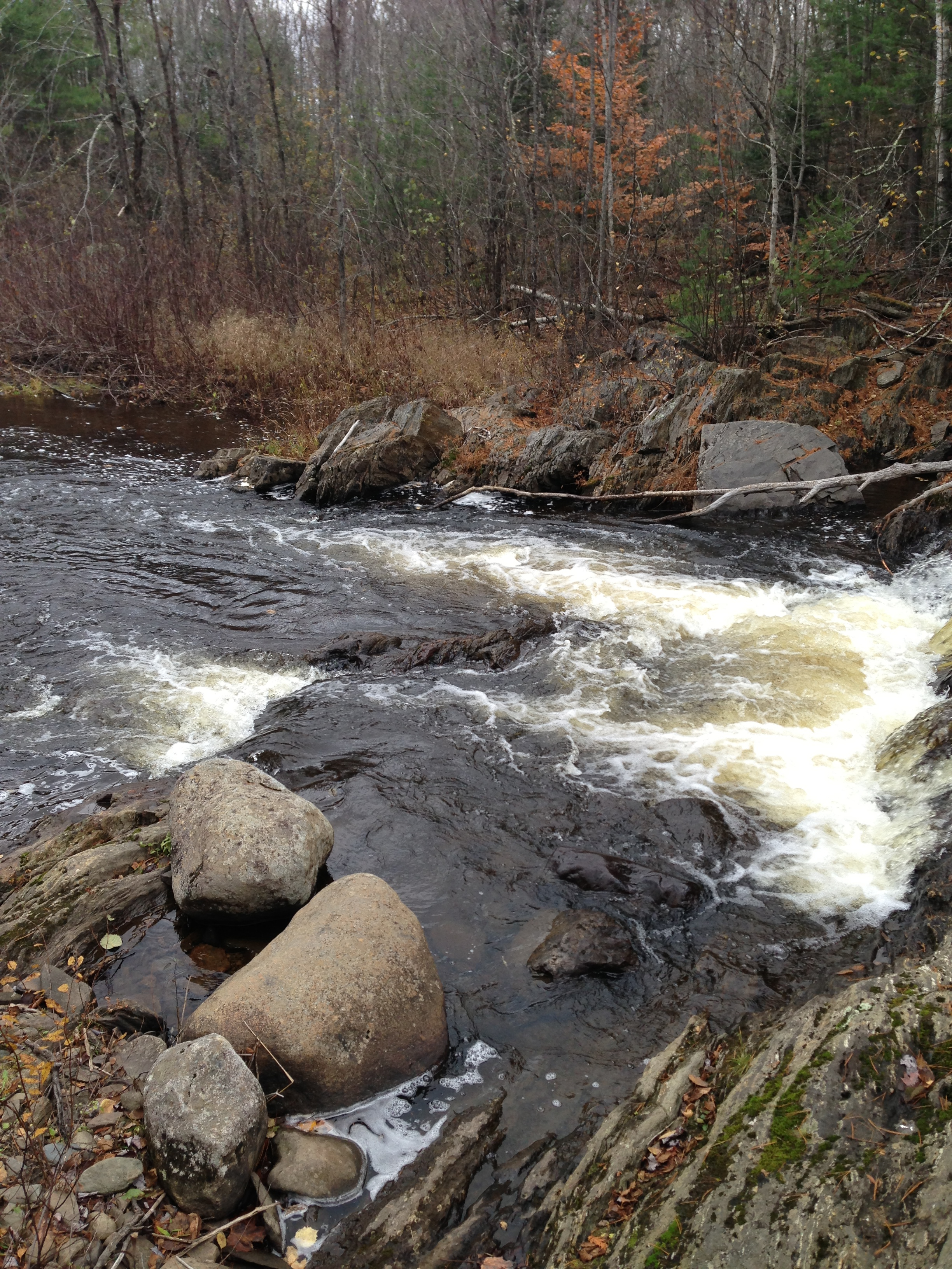
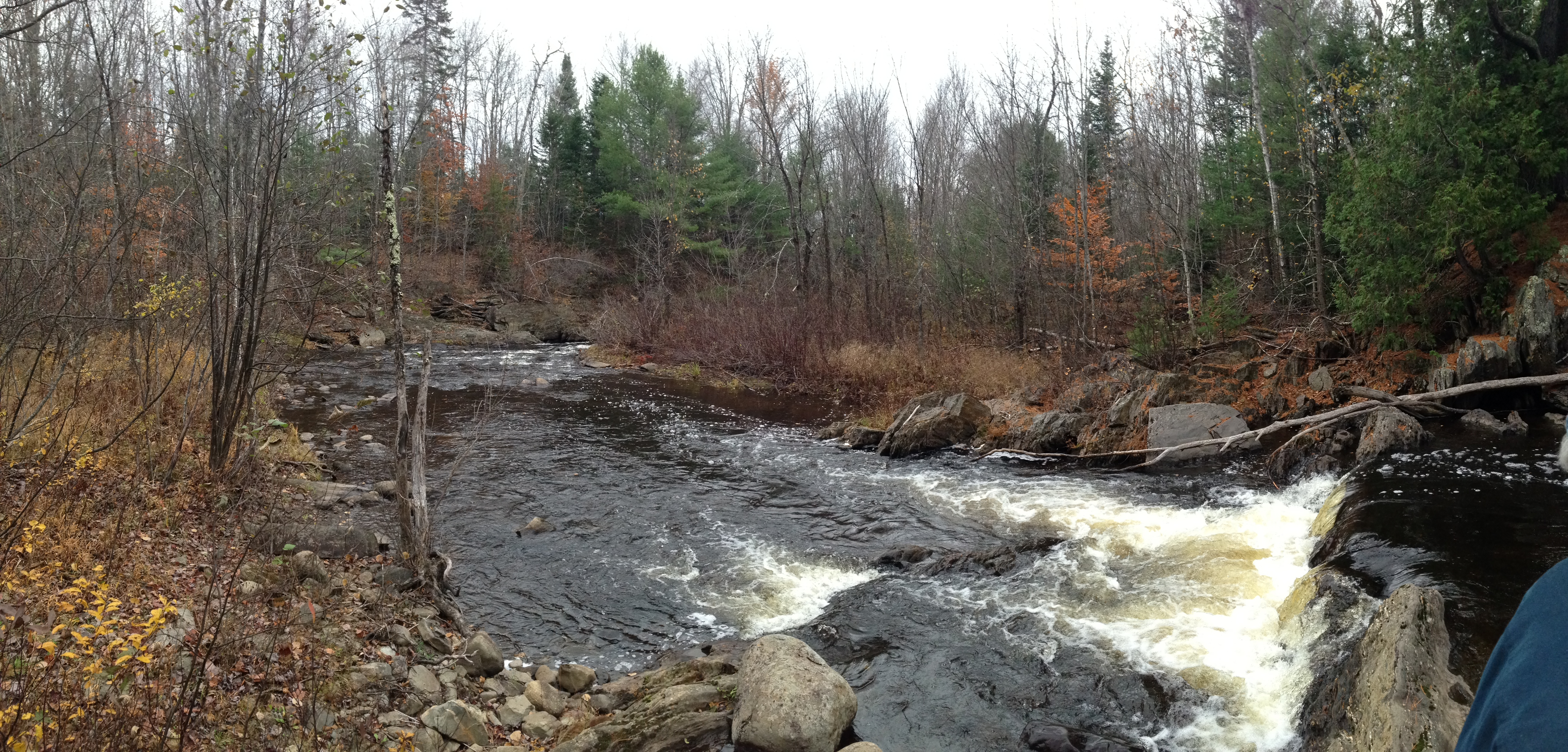
Related Photos:

Mud to Sky

The viewing tower

Fall Marsh

Autum Coming

Camera Roll-30

Rte. 7, Dixmont
Camera Roll-32
Camera Roll-12

Abandoned Stuck Jeep

Stuck Jeep B&W 2

Snowy Trail

0725 Swan Lake- 01

_DSC7982_3_4_5_6_tonemapped copy

0725 Swan Lake- 02

Nelson's Sparrow - Frankfort ME 6/6/2015
Camera Roll-14

Spring Woods 3
Topographic Map of Back Brooks Rd, Monroe, ME, USA
Find elevation by address:

Places near Back Brooks Rd, Monroe, ME, USA:
2 Dickey Hill Rd
Monroe
228 Marsh Stream Rd
Waldo
Jackson
Frankfort, ME, USA
Sandalwood Road
Marsh Stream
146 Files Hill Rd
29 Kenney Rd, Knox, ME, USA
Waldo County
Knox
350 Moulton Rd
350 Moulton Rd
350 Moulton Rd
Thorndike
433 Bagley Hill Rd
Frye Mountain
Palmer Road
Frye Mountain State Game Management Area
Recent Searches:
- Elevation of Badaber, Peshawar, Khyber Pakhtunkhwa, Pakistan
- Elevation of SE Heron Loop, Lincoln City, OR, USA
- Elevation of Slanický ostrov, 01 Námestovo, Slovakia
- Elevation of Spaceport America, Co Rd A, Truth or Consequences, NM, USA
- Elevation of Warwick, RI, USA
- Elevation of Fern Rd, Whitmore, CA, USA
- Elevation of 62 Abbey St, Marshfield, MA, USA
- Elevation of Fernwood, Bradenton, FL, USA
- Elevation of Felindre, Swansea SA5 7LU, UK
- Elevation of Leyte Industrial Development Estate, Isabel, Leyte, Philippines