Elevation of Marsh Stream, Maine, USA
Location: United States > Maine > Waldo County > Knox >
Longitude: -69.179811
Latitude: 44.5149864
Elevation: 169m / 554feet
Barometric Pressure: 99KPa
Elevation Map:
Satellite Map:
Related Photos:
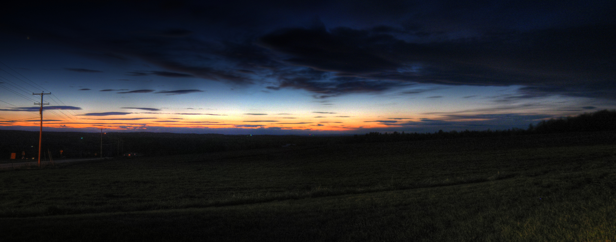
Last Gleaming; Knox, Maine
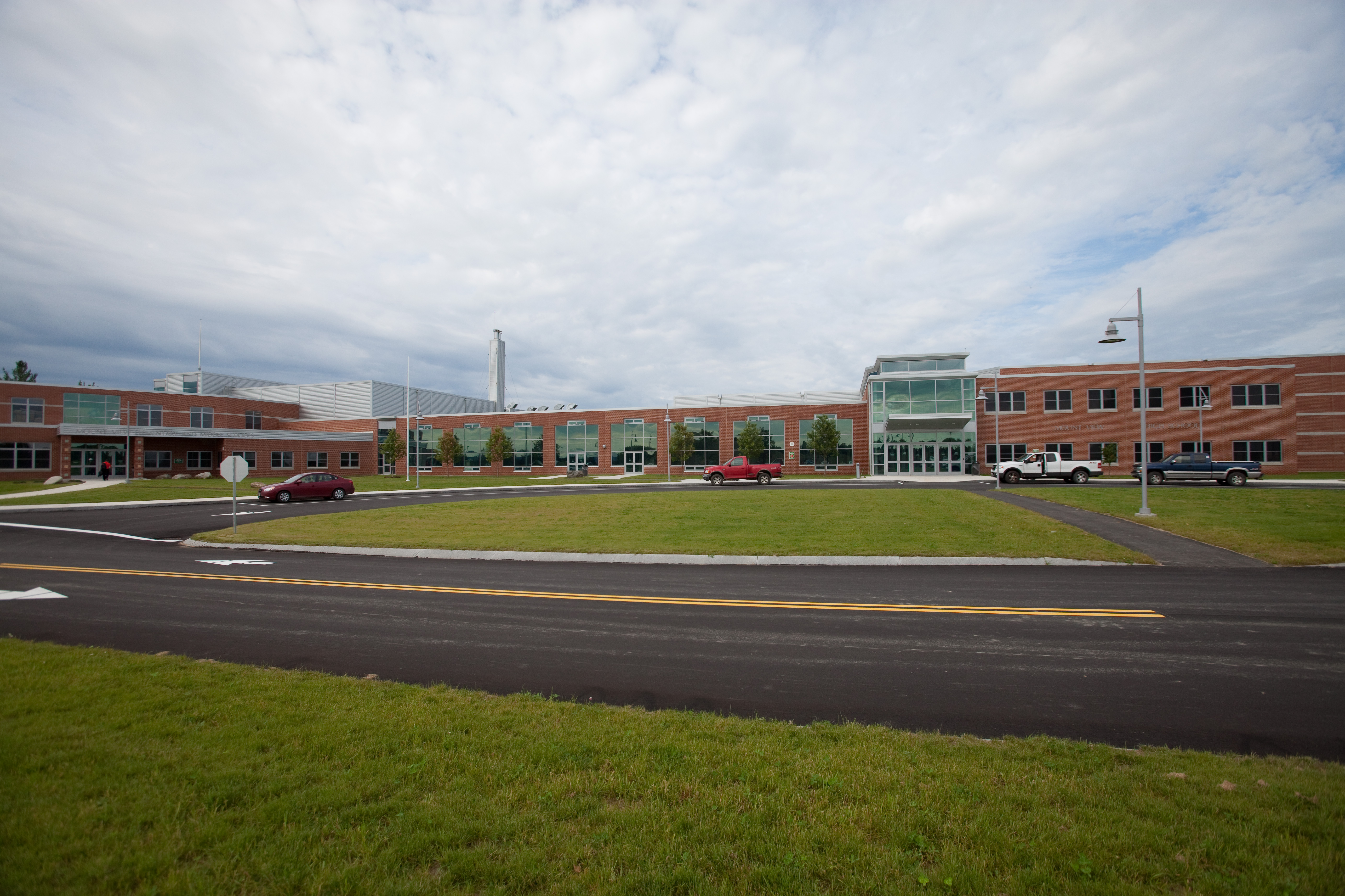
Mount View School

Rte. 7, Dixmont
1 hour in Maine and already experiencing sensory overload

0725 Swan Lake- 01

0725 Swan Lake- 02
Sandy Stream; Freedom, Maine
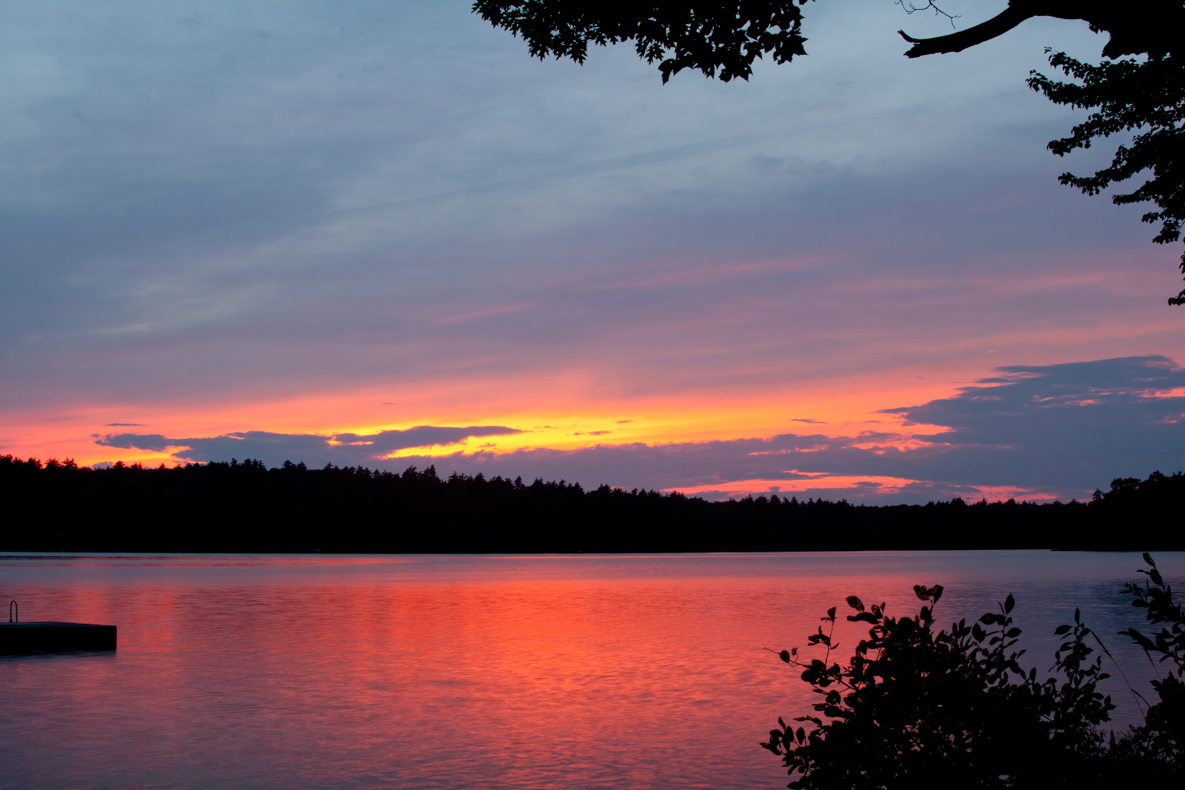
Sunset on Quantabacook Lake
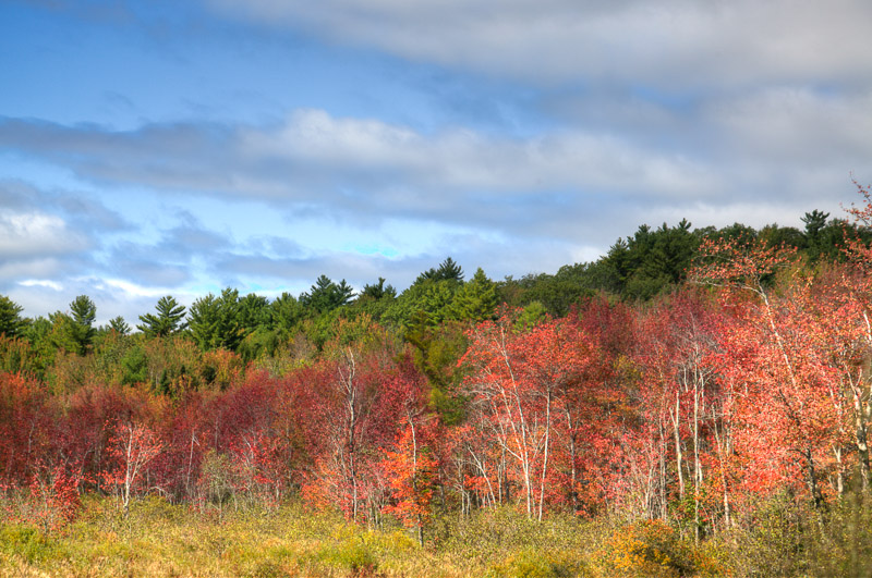
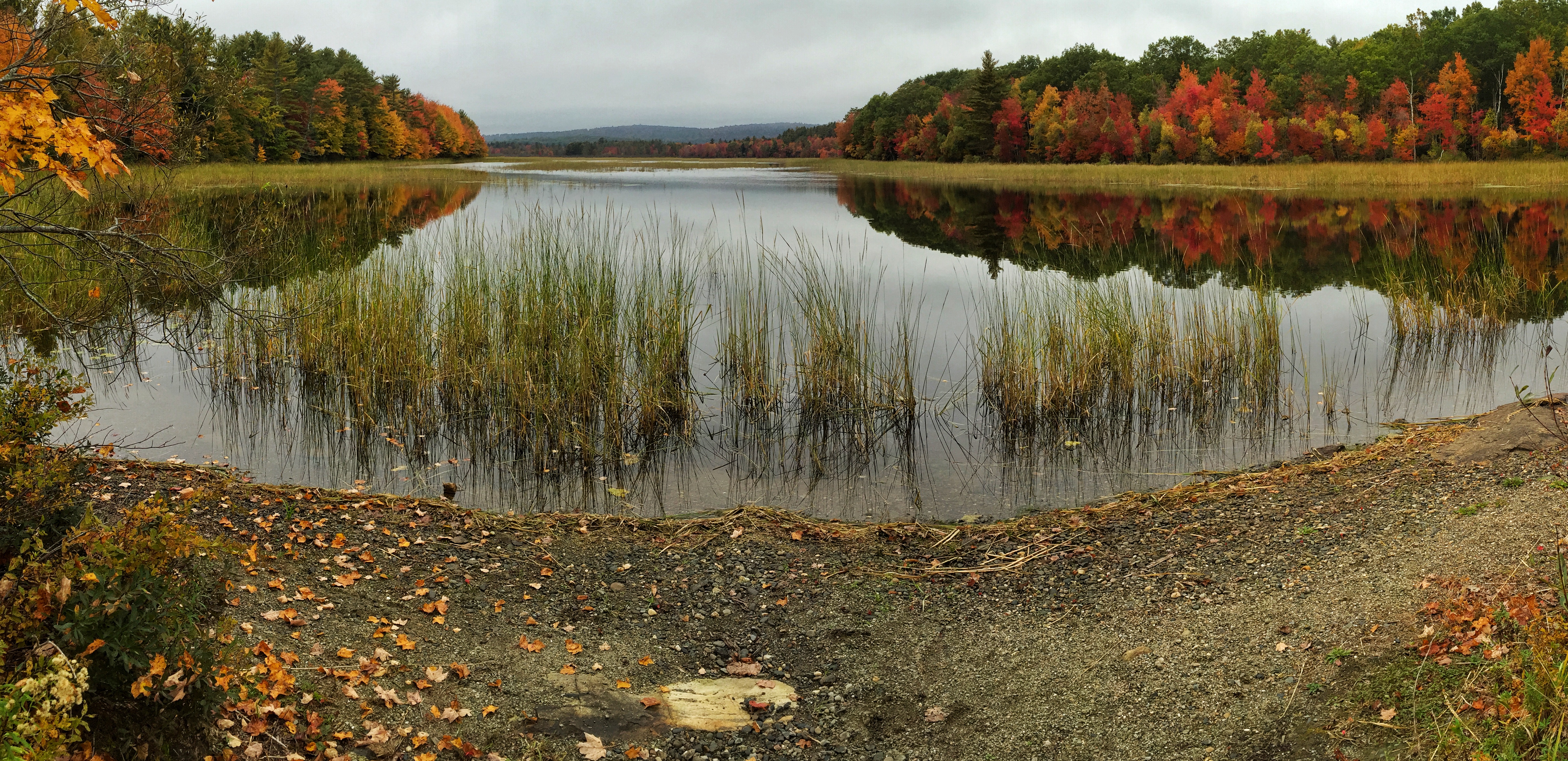
Autum Coming

Menacing skies did not deter an insane amount of people from visiting the Common Ground Fair today! We had another awesome day. Met so many fantastic people! #commonground #cgcf
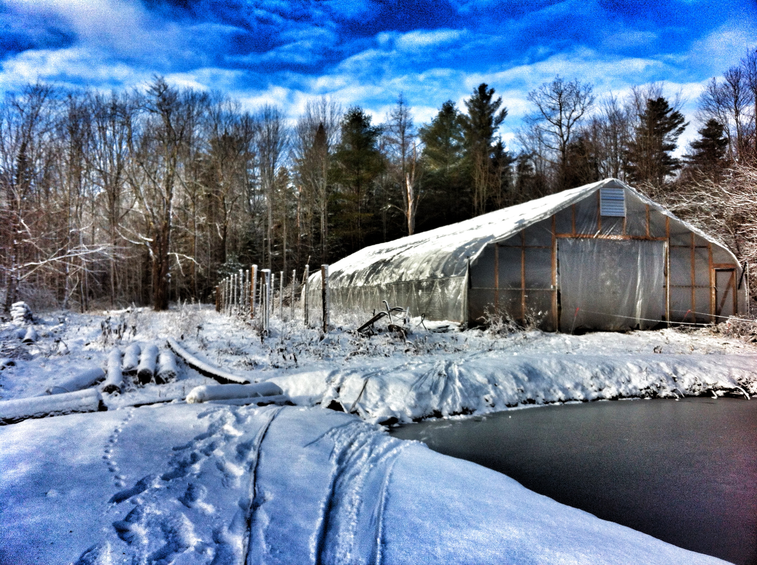
Winter's finally here! Can't believe it's going to rain heavy before it snows again.

Camera Roll-30
It's a beautiful day for Farm & Homestead Day at MOFGA

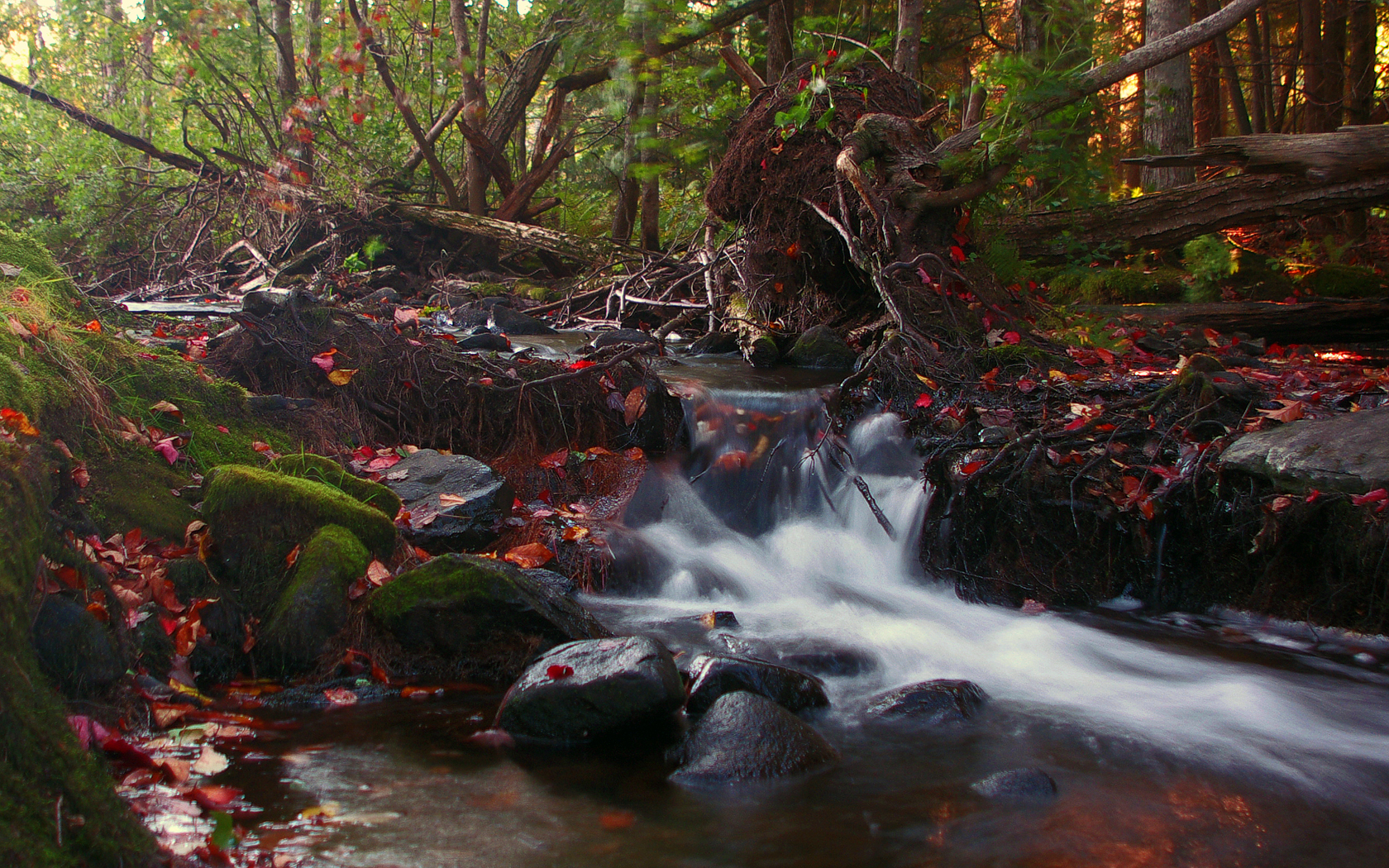
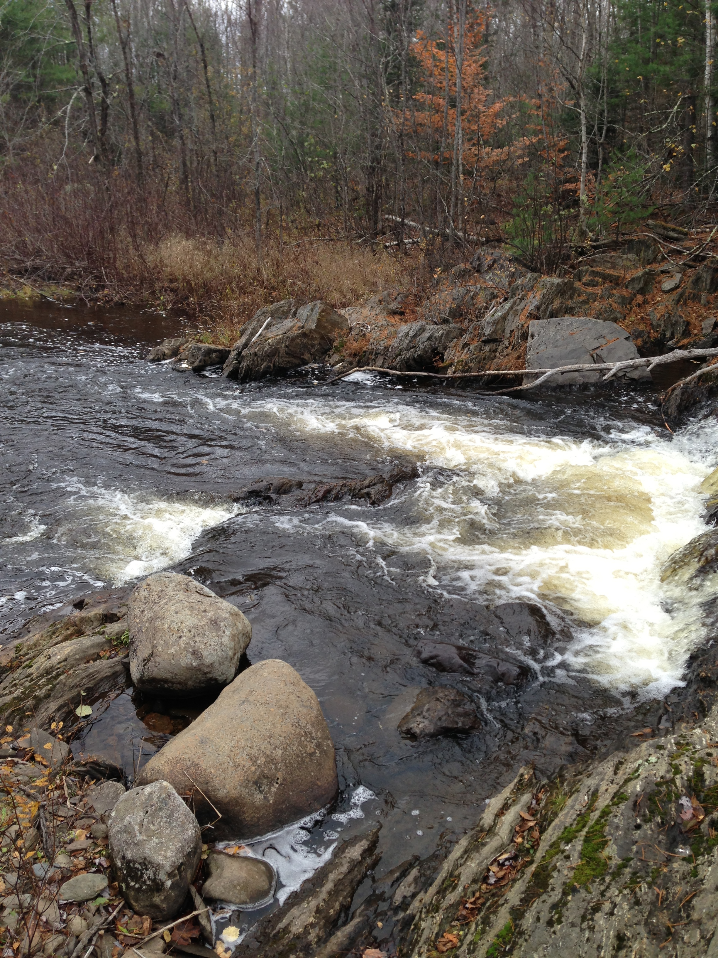
Waterfall Long Exposure
Camera Roll-12

Saturday's end. #cgcf2013 #commonground
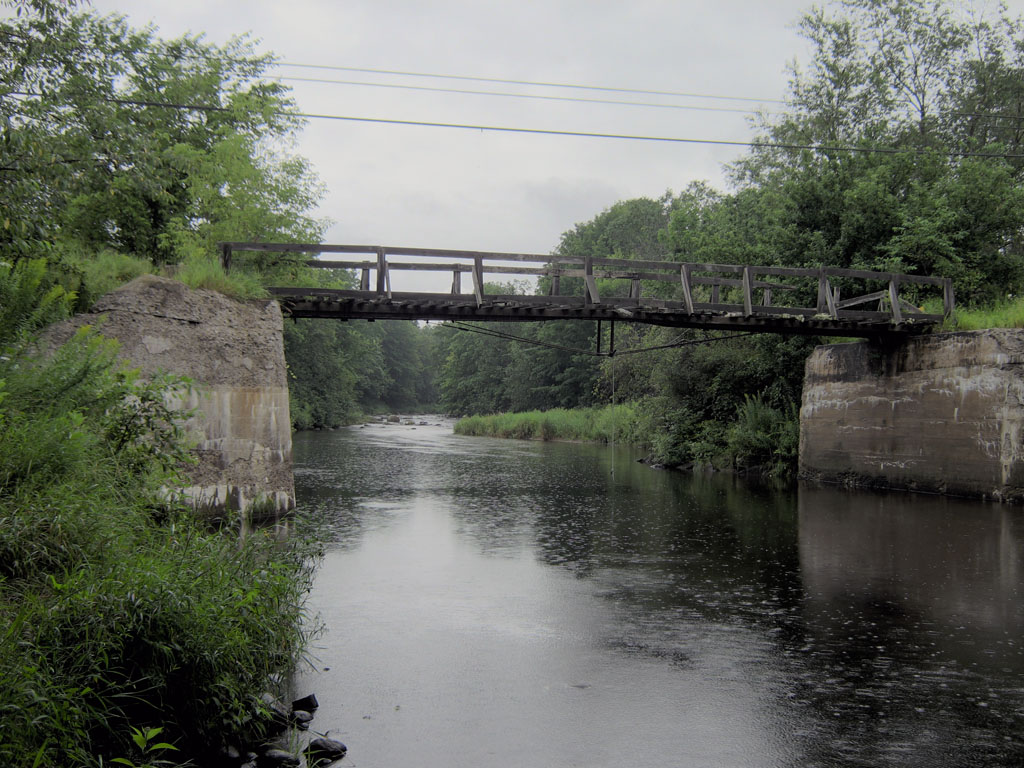
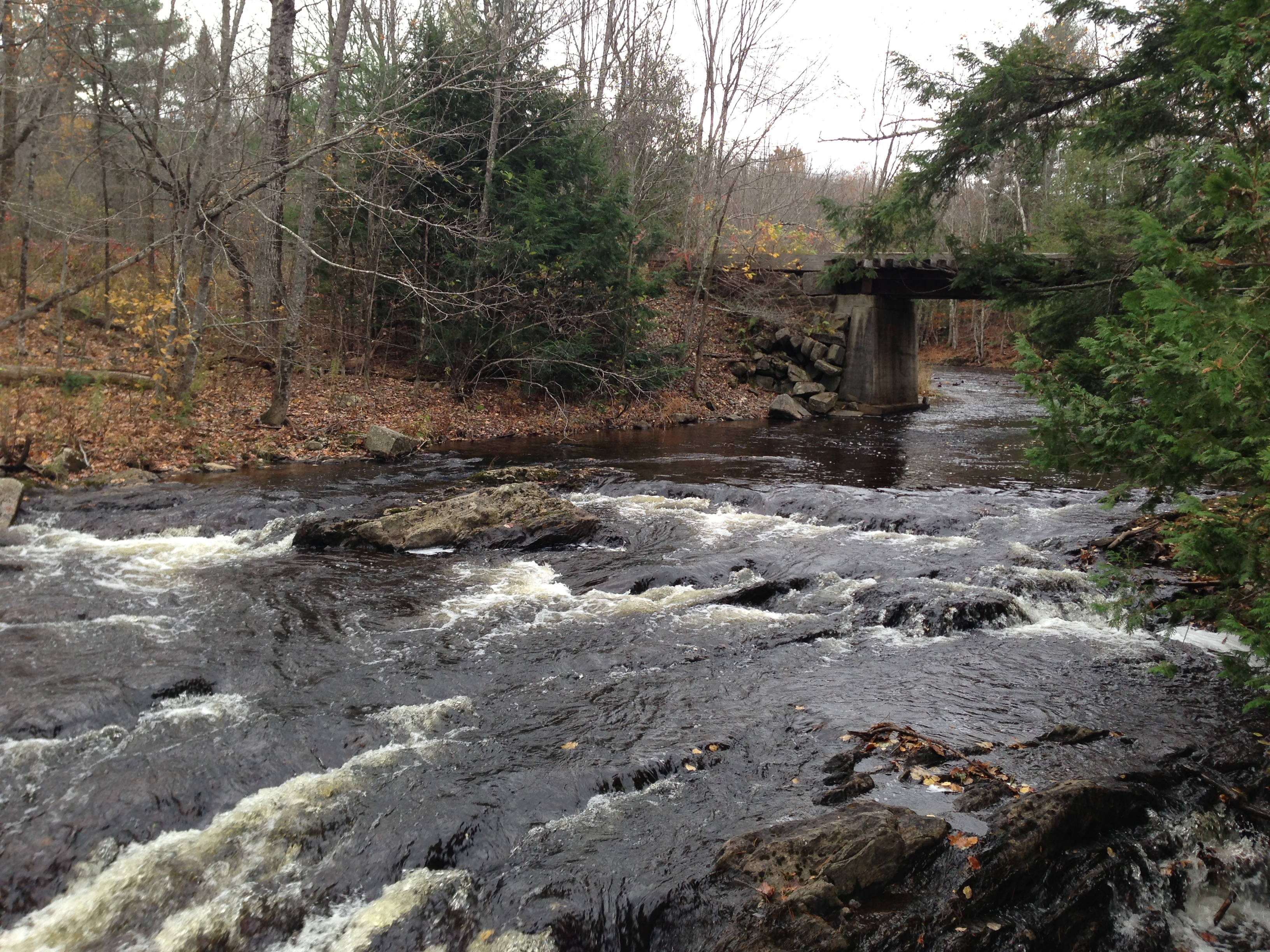
The Bridge 3
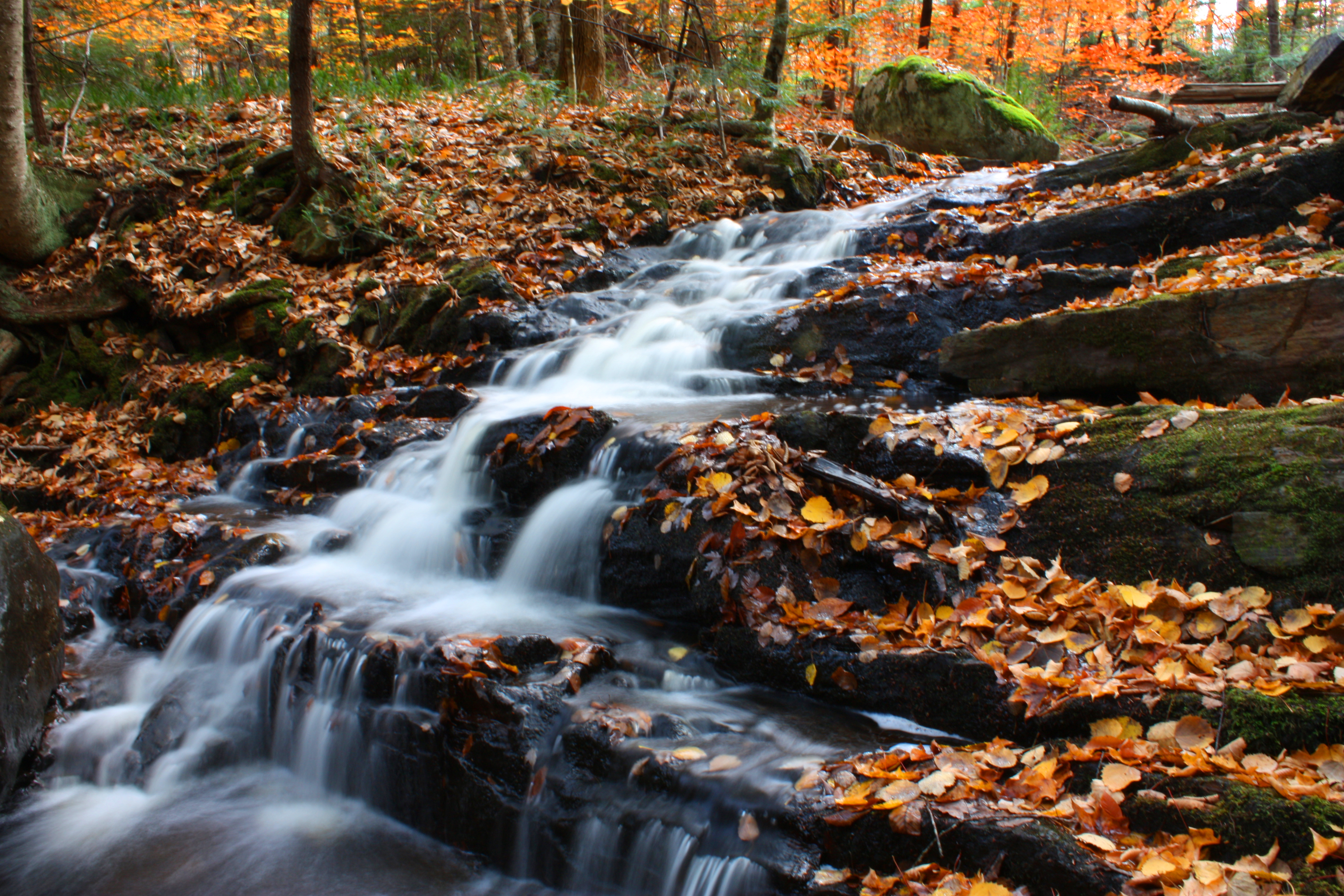
Waterfall Long Exposure
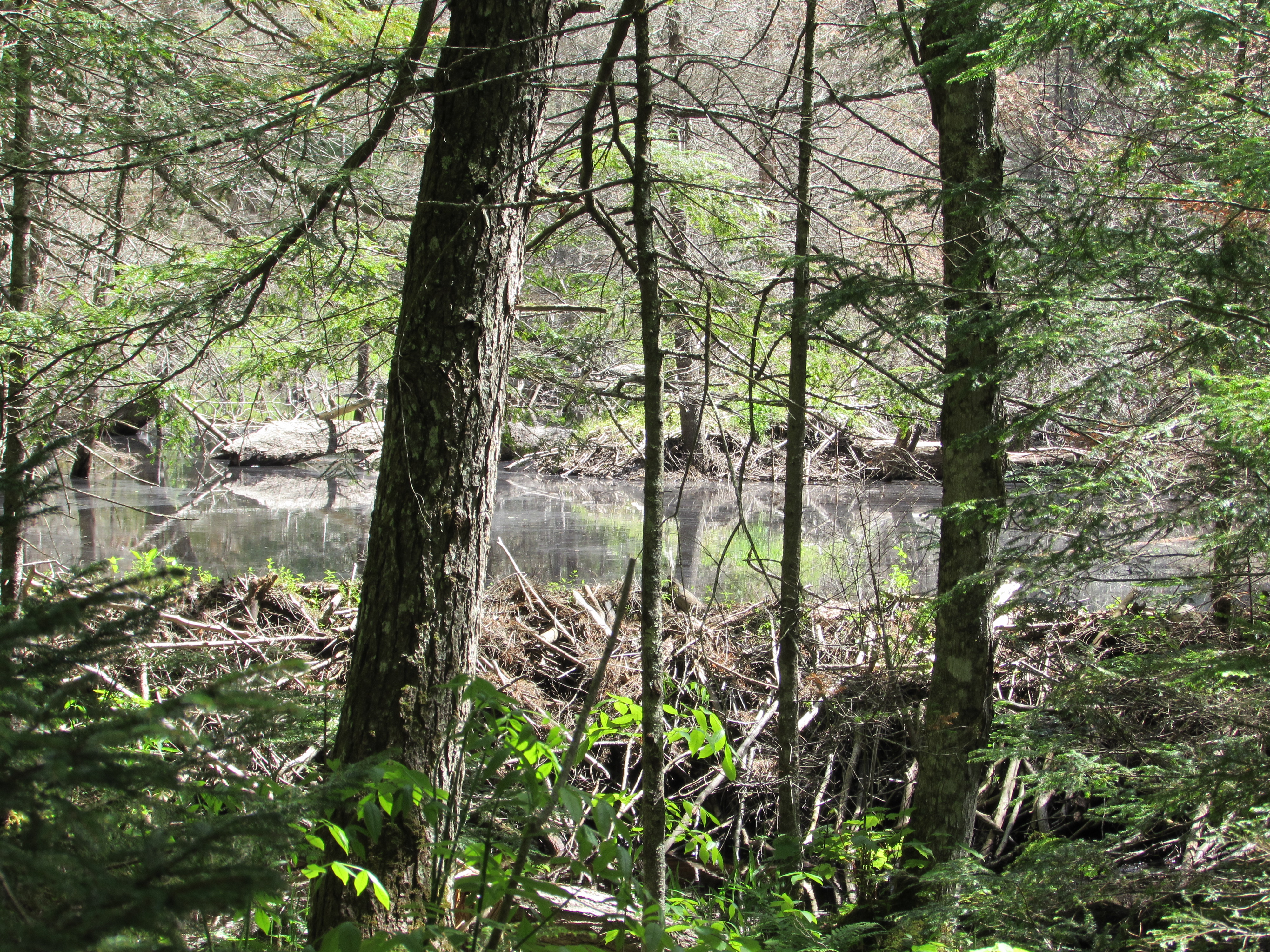
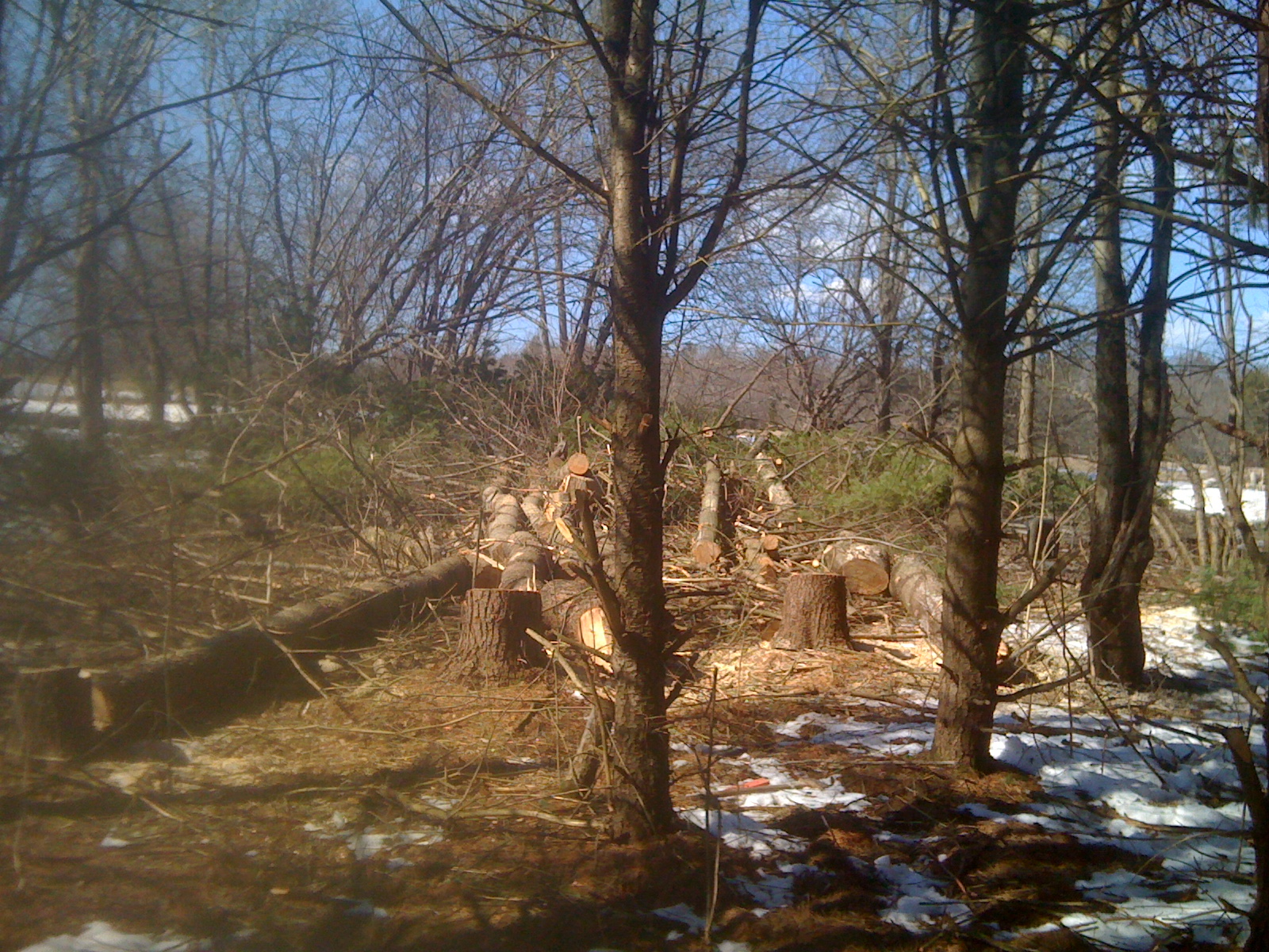
Beaver dams
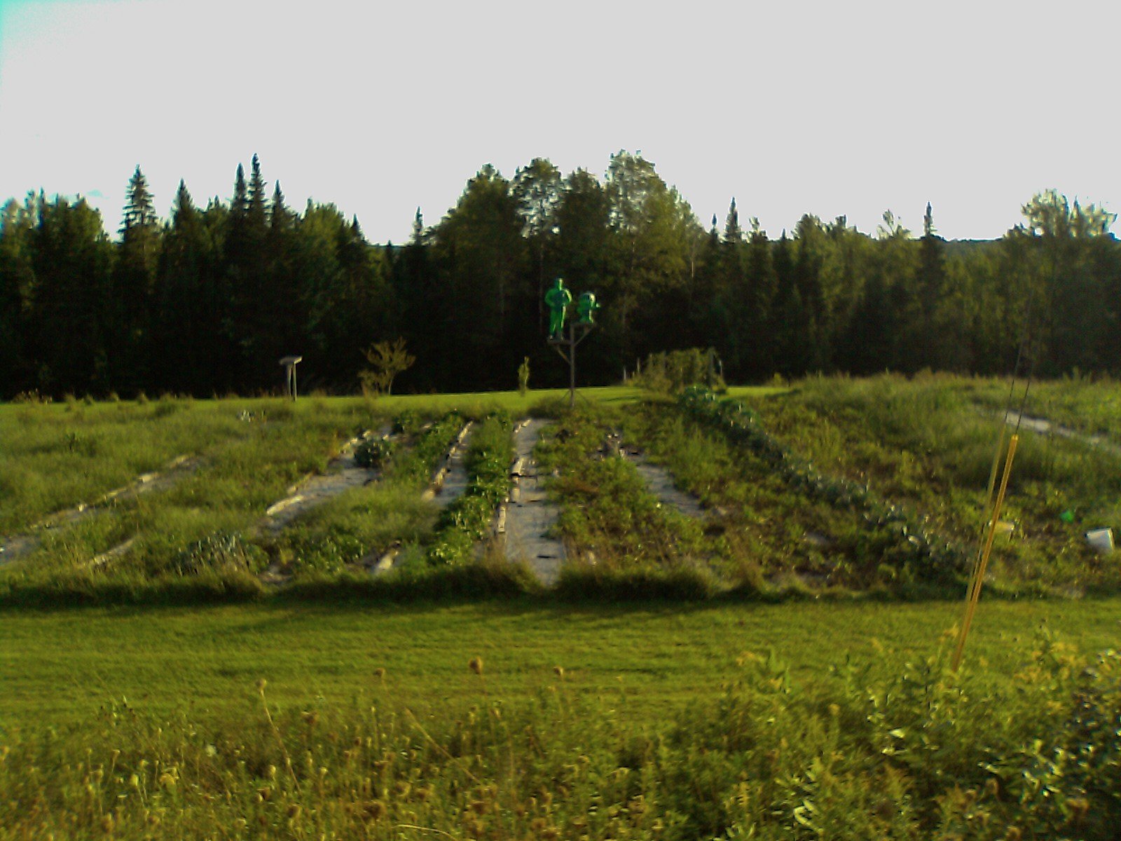
New Barn Site
ho ho ho
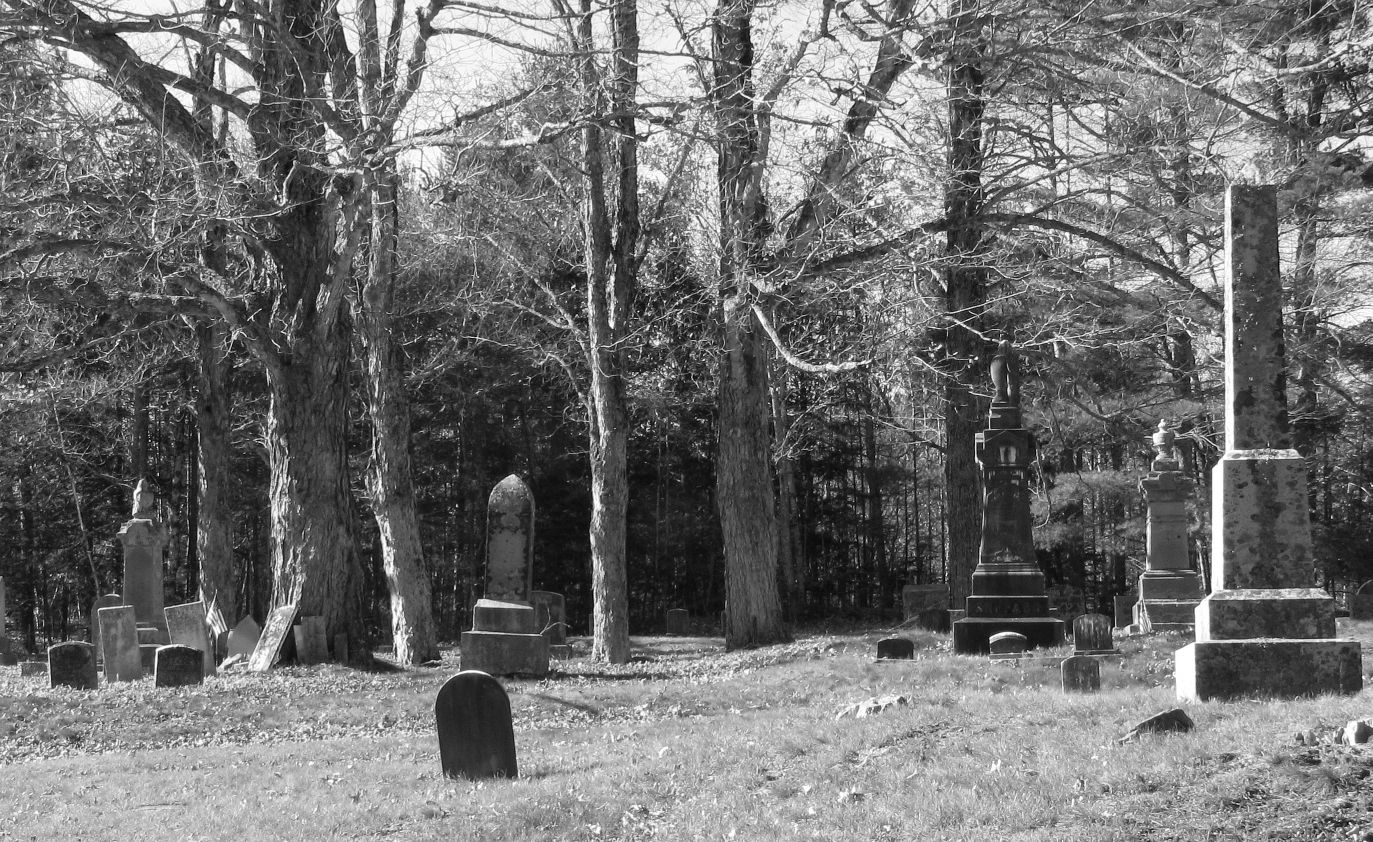
Stone Jumble
Camera Roll-29
Topographic Map of Marsh Stream, Maine, USA
Find elevation by address:

Places near Marsh Stream, Maine, USA:
29 Kenney Rd, Knox, ME, USA
Waldo County
Knox
Frye Mountain
Frye Mountain State Game Management Area
223 Morse Rd
146 Files Hill Rd
Waldo
Thorndike
350 Moulton Rd
350 Moulton Rd
350 Moulton Rd
Palmer Road
Jackson
433 Bagley Hill Rd
2 Dickey Hill Rd
453 Back Brooks Rd
Sandalwood Road
Monroe
228 Marsh Stream Rd
Recent Searches:
- Elevation of Rojo Ct, Atascadero, CA, USA
- Elevation of Flagstaff Drive, Flagstaff Dr, North Carolina, USA
- Elevation of Avery Ln, Lakeland, FL, USA
- Elevation of Woolwine, VA, USA
- Elevation of Lumagwas Diversified Farmers Multi-Purpose Cooperative, Lumagwas, Adtuyon, RV32+MH7, Pangantucan, Bukidnon, Philippines
- Elevation of Homestead Ridge, New Braunfels, TX, USA
- Elevation of Orchard Road, Orchard Rd, Marlborough, NY, USA
- Elevation of 12 Hutchinson Woods Dr, Fletcher, NC, USA
- Elevation of Holloway Ave, San Francisco, CA, USA
- Elevation of Norfolk, NY, USA