Elevation of Dixie Mountain, California, USA
Location: United States > California > Plumas County > Chilcoot >
Longitude: -120.28493
Latitude: 39.938791
Elevation: 2529m / 8297feet
Barometric Pressure: 74KPa
Elevation Map:
Satellite Map:
Related Photos:

Reflections in Little Last Chance Creek
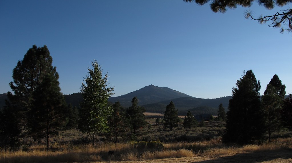
Sierra Valley, CA views
Topographic Map of Dixie Mountain, California, USA
Find elevation by address:

Places near Dixie Mountain, California, USA:
Reconnaissance Peak
3250 Maddalena Rd
Ridge St, Portola, CA, USA
249 Greeley St
Beckwourth
Chipmunk Lane
Frenchman Lake Road
Crocker Mountain
Vinton
445-25
Adams Peak
Portola, CA, USA
Doyle
7315 Marilyn Dr
7315 Marilyn Dr
7315 Marilyn Dr
7315 Marilyn Dr
7315 Marilyn Dr
7315 Marilyn Dr
7315 Marilyn Dr
Recent Searches:
- Elevation of Corso Fratelli Cairoli, 35, Macerata MC, Italy
- Elevation of Tallevast Rd, Sarasota, FL, USA
- Elevation of 4th St E, Sonoma, CA, USA
- Elevation of Black Hollow Rd, Pennsdale, PA, USA
- Elevation of Oakland Ave, Williamsport, PA, USA
- Elevation of Pedrógão Grande, Portugal
- Elevation of Klee Dr, Martinsburg, WV, USA
- Elevation of Via Roma, Pieranica CR, Italy
- Elevation of Tavkvetili Mountain, Georgia
- Elevation of Hartfords Bluff Cir, Mt Pleasant, SC, USA