Elevation of Marilyn Dr, Portola, CA, USA
Location: United States > California > Plumas County > Portola >
Longitude: -120.47485
Latitude: 39.8705259
Elevation: 1833m / 6014feet
Barometric Pressure: 81KPa
Elevation Map:
Satellite Map:
Related Photos:

Rear view of the Feather River Express on the main line in Portola, CA
Sierra Valley_IMG_1274
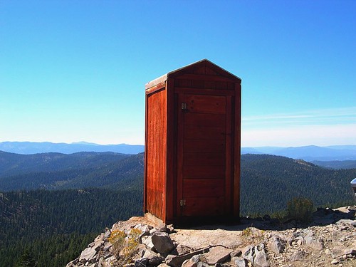
Room with a View
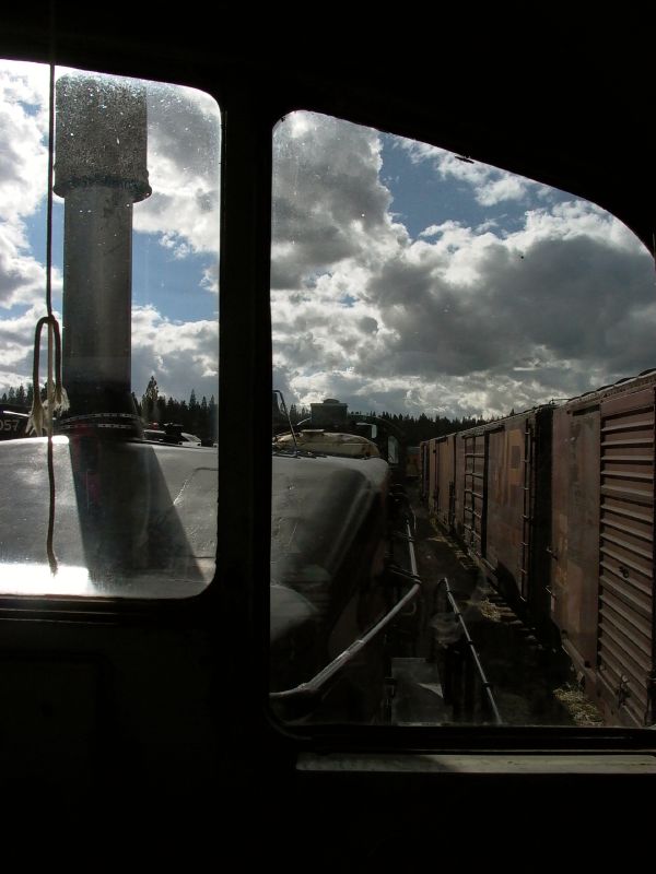
Engineer's view
View from our cabins.
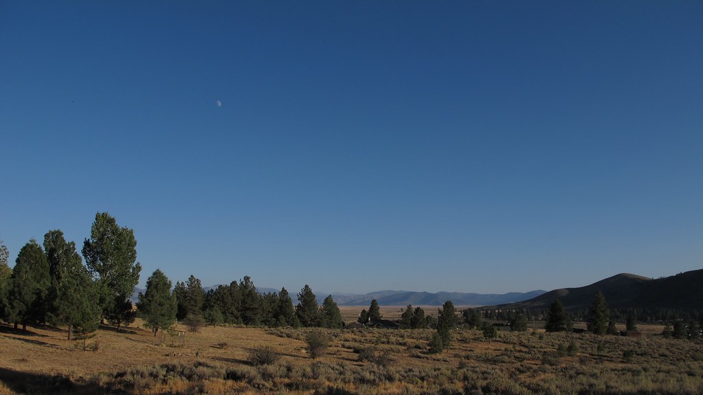
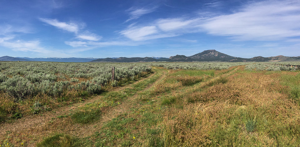
Sierra Valley, CA views
Sierra Valley, CA views
Beckwirth cabin view

Cab View from #2
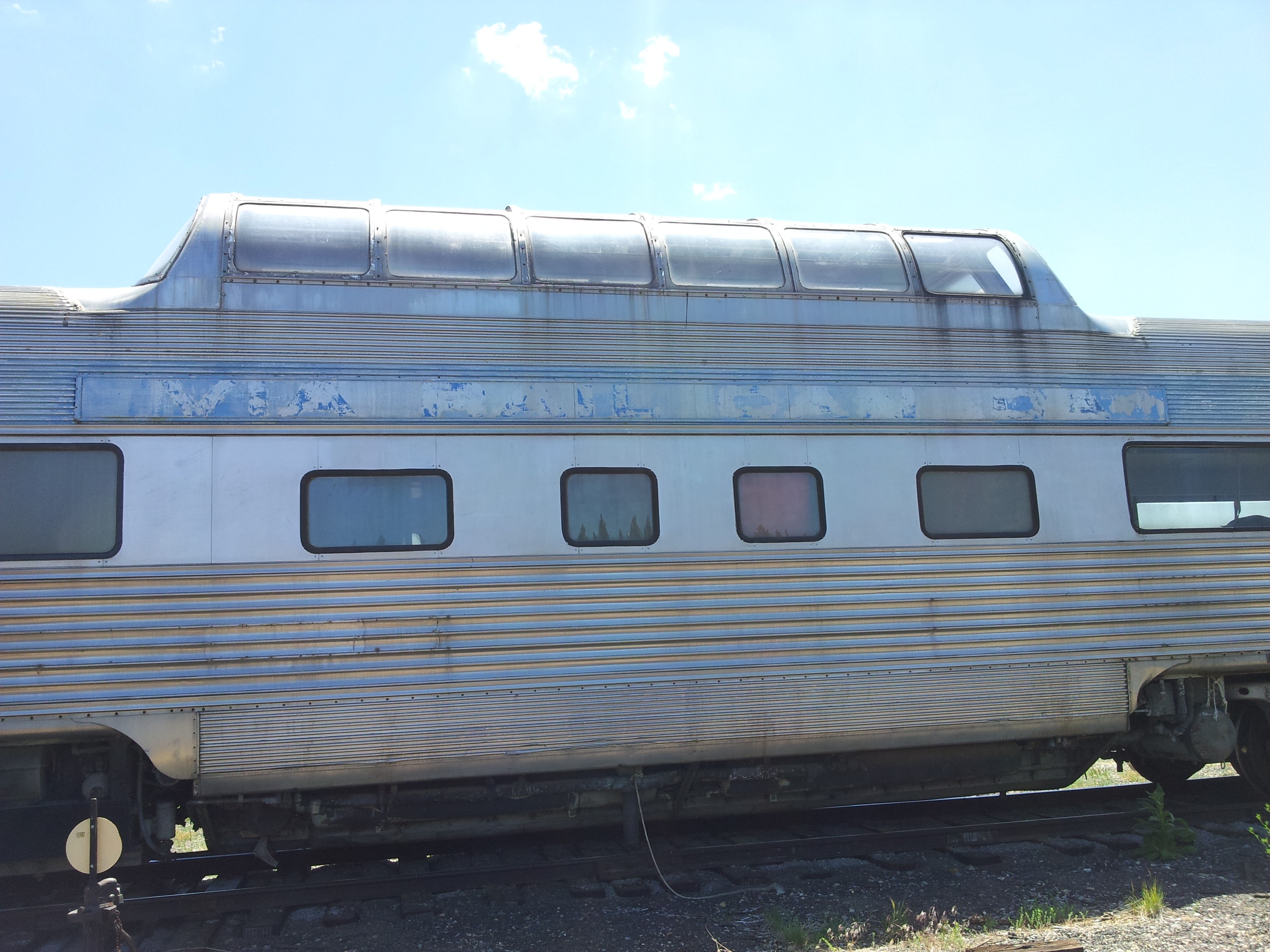
California Zephyr Vista View
Topographic Map of Marilyn Dr, Portola, CA, USA
Find elevation by address:

Places near Marilyn Dr, Portola, CA, USA:
7315 Marilyn Dr
7315 Marilyn Dr
7315 Marilyn Dr
7315 Marilyn Dr
7315 Marilyn Dr
7315 Marilyn Dr
Lake Davis
Portola, CA, USA
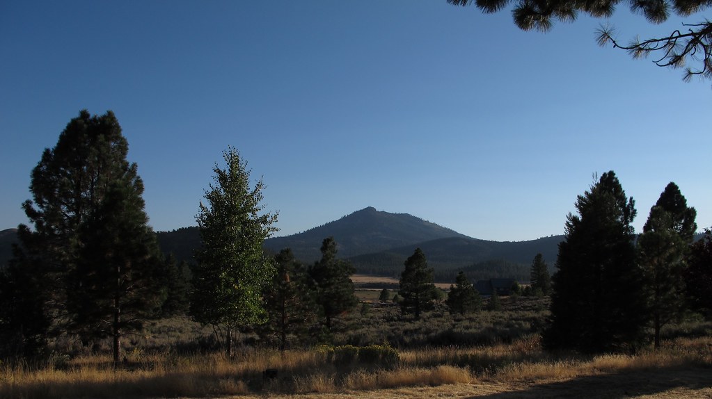
Crocker Mountain
Chipmunk Lane
117 E Loyalton Ave
Portola
Portola Fire Department
700 Western Pacific Way
Delleker
700 3rd Ave
Portola Junior/senior High School
5646 Semaphore Rd
5712 Iron Horse Dr
Semaphore Rd, Portola, CA, USA
Recent Searches:
- Elevation of Tenjo, Cundinamarca, Colombia
- Elevation of Côte-des-Neiges, Montreal, QC H4A 3J6, Canada
- Elevation of Bobcat Dr, Helena, MT, USA
- Elevation of Zu den Ihlowbergen, Althüttendorf, Germany
- Elevation of Badaber, Peshawar, Khyber Pakhtunkhwa, Pakistan
- Elevation of SE Heron Loop, Lincoln City, OR, USA
- Elevation of Slanický ostrov, 01 Námestovo, Slovakia
- Elevation of Spaceport America, Co Rd A, Truth or Consequences, NM, USA
- Elevation of Warwick, RI, USA
- Elevation of Fern Rd, Whitmore, CA, USA