Elevation of Dixfield, ME, USA
Location: United States > Maine > Oxford County >
Longitude: -70.456336
Latitude: 44.5313932
Elevation: 129m / 423feet
Barometric Pressure: 100KPa
Elevation Map:
Satellite Map:
Related Photos:

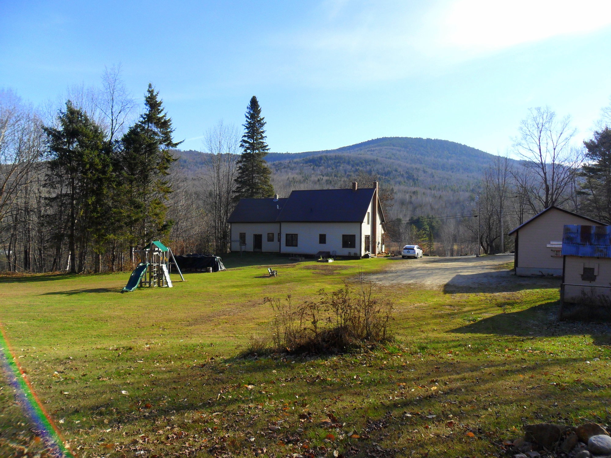
The View From Your Front Porch

Light Meets Dark

Birch Leaves

Morning Sky
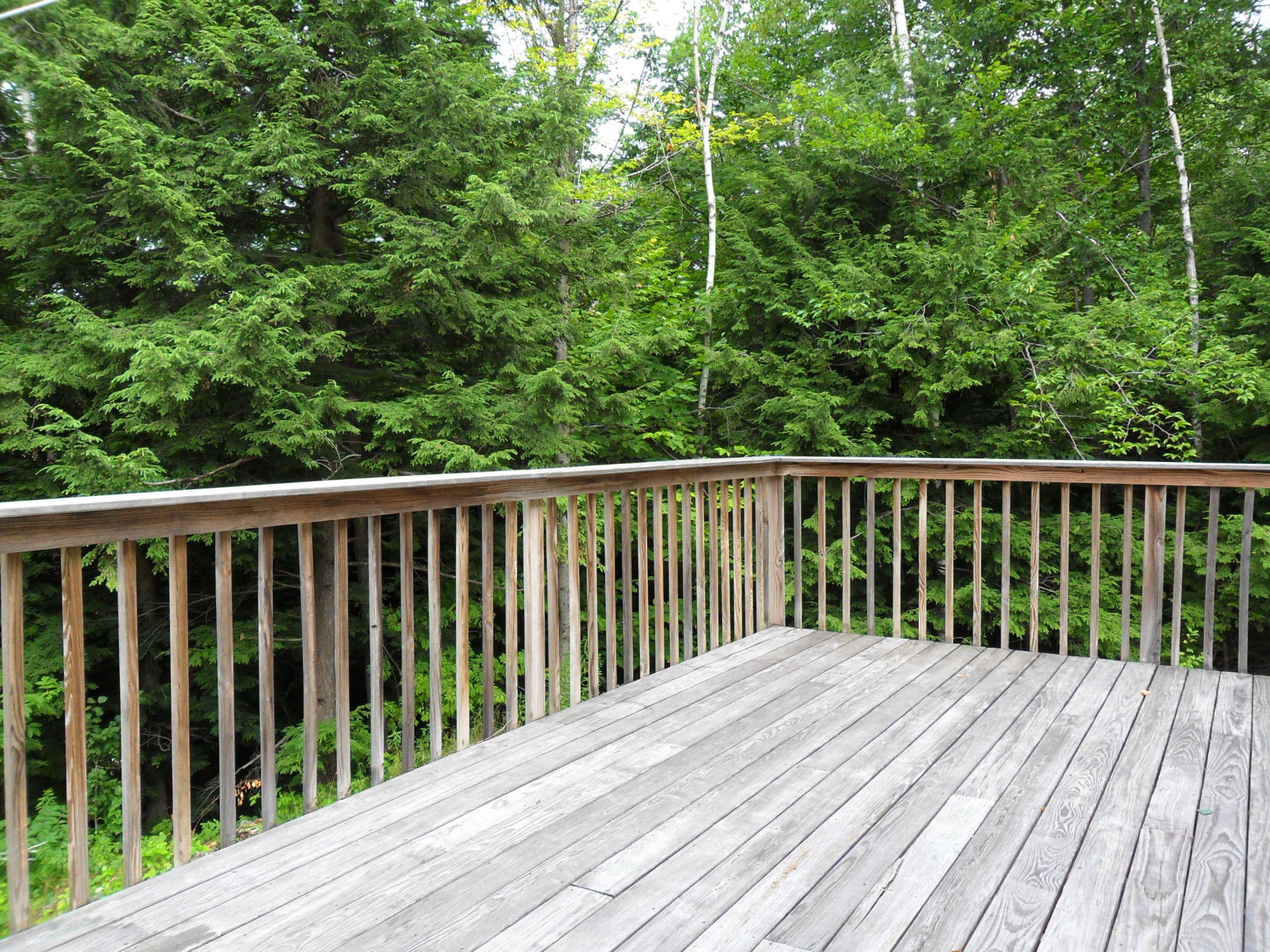
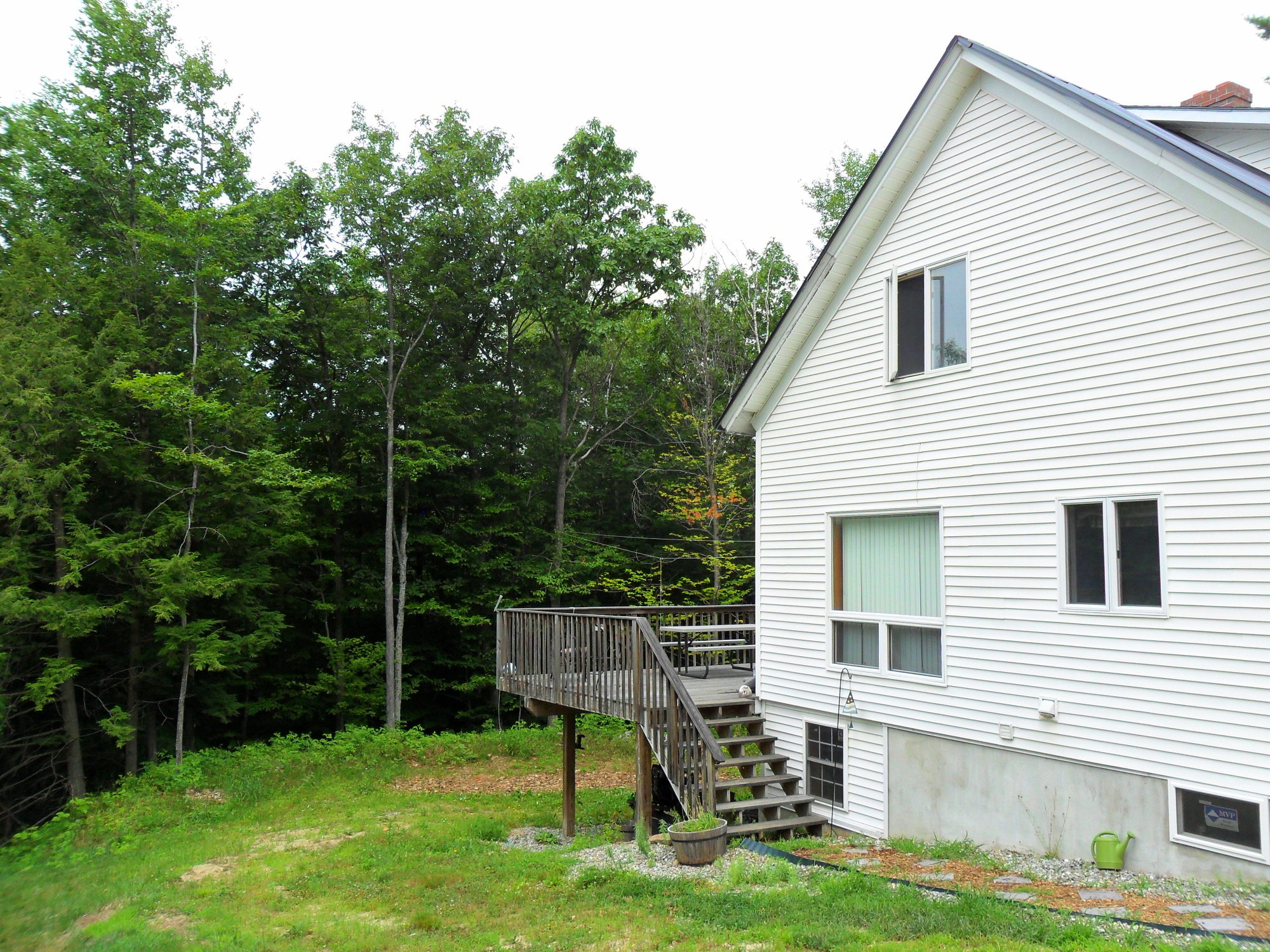
Deck View

Beautiful Morning
View from SAD 21 Elementary School

Ooops!
View from the sugar shack

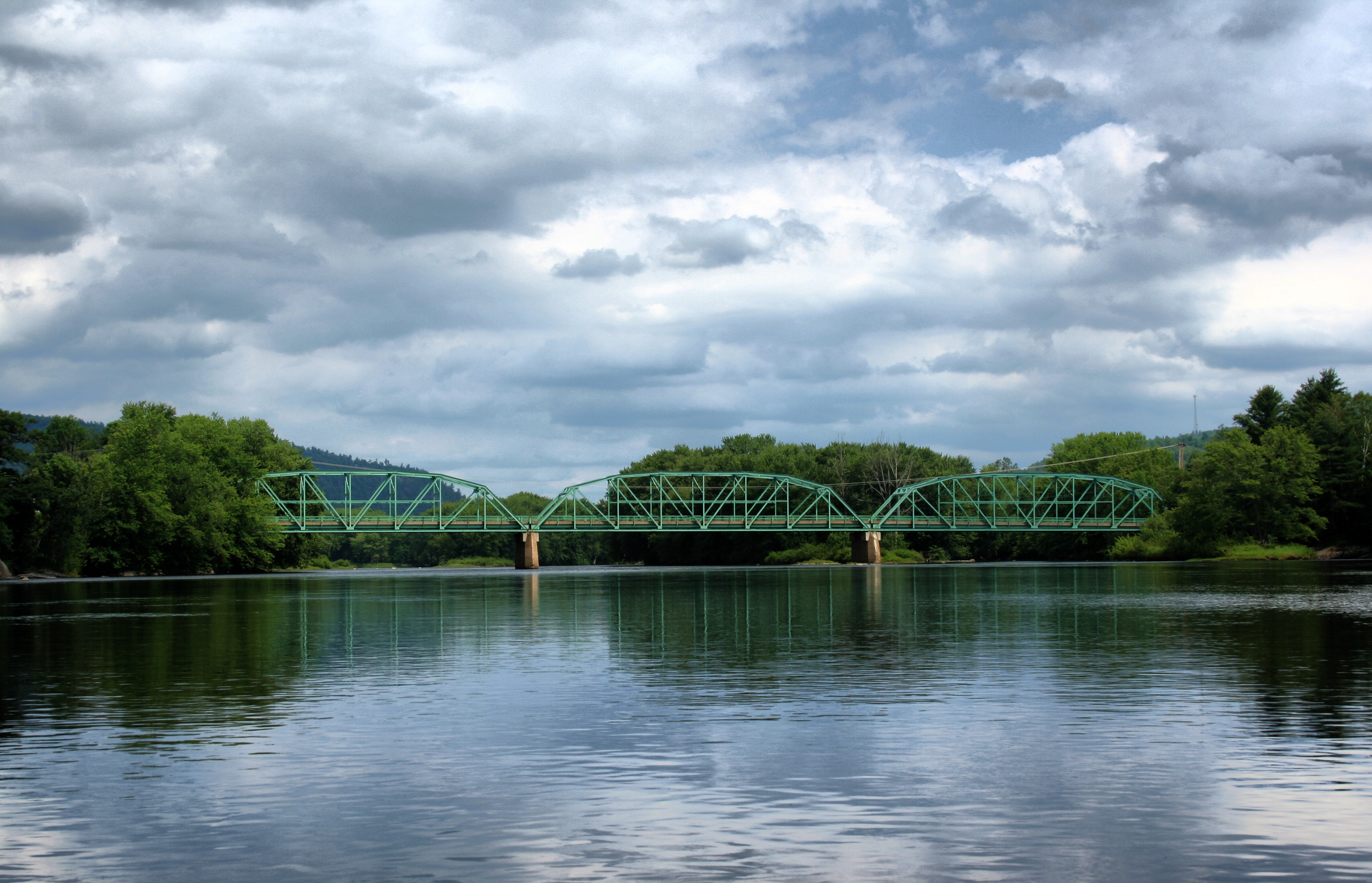
Train View
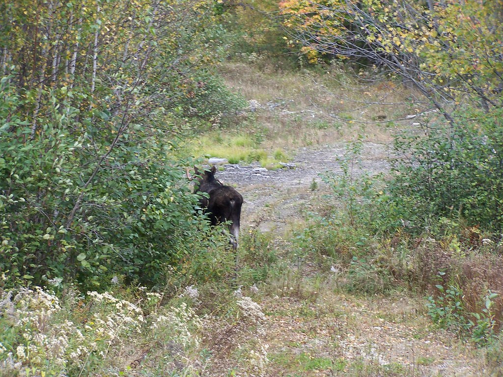
moose moon
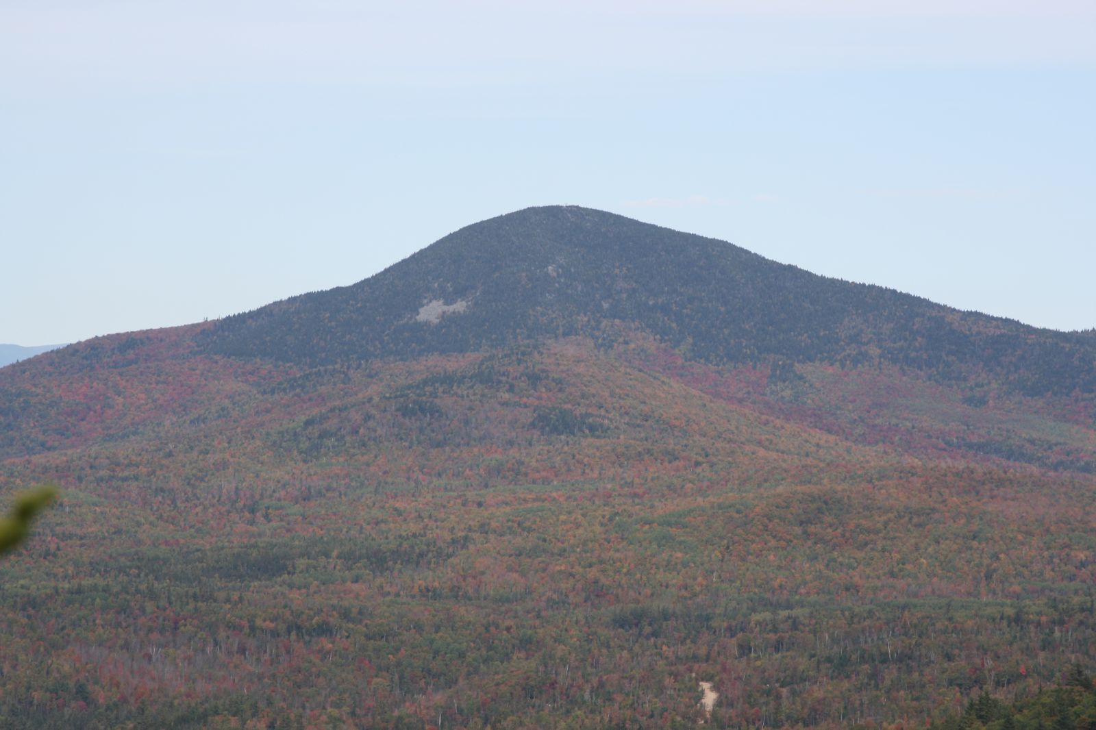
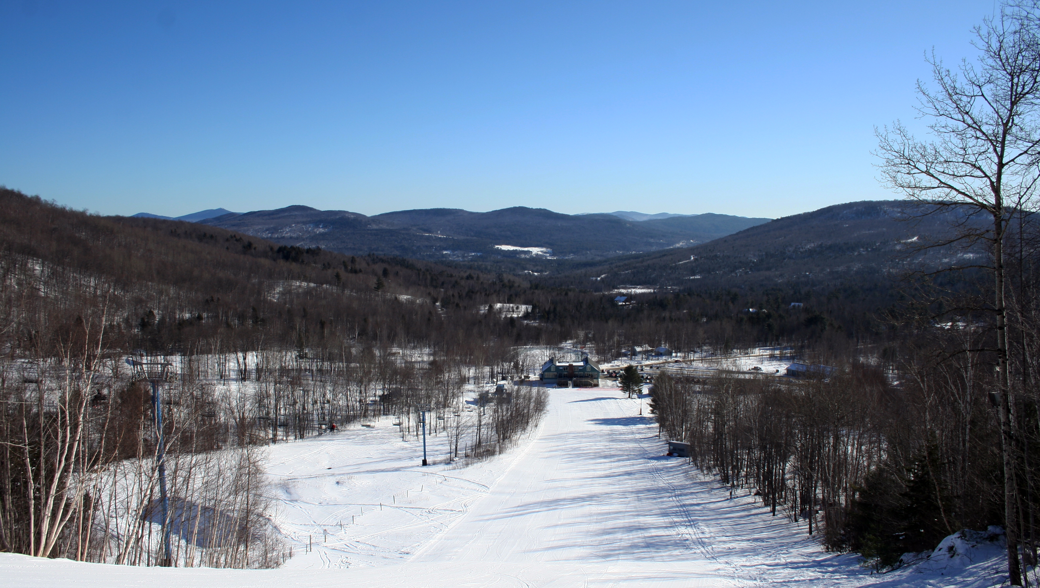
Bald Mountain
Side View
View of the Mexico, Maine skyline

Foggy Pond

Check Out Those Mountains
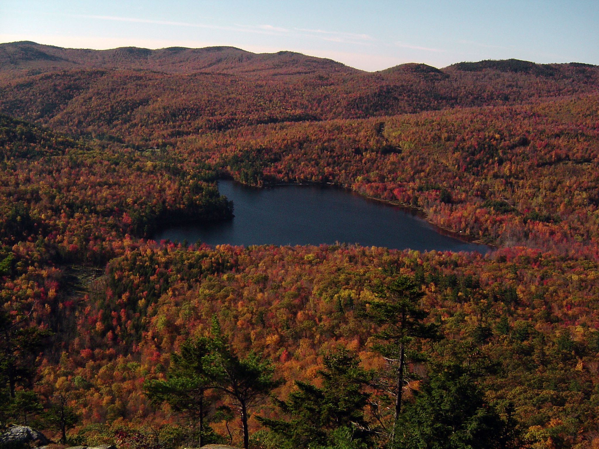
Shagg Pond from Bald Mountain
Black Mountain - View From the Mountain

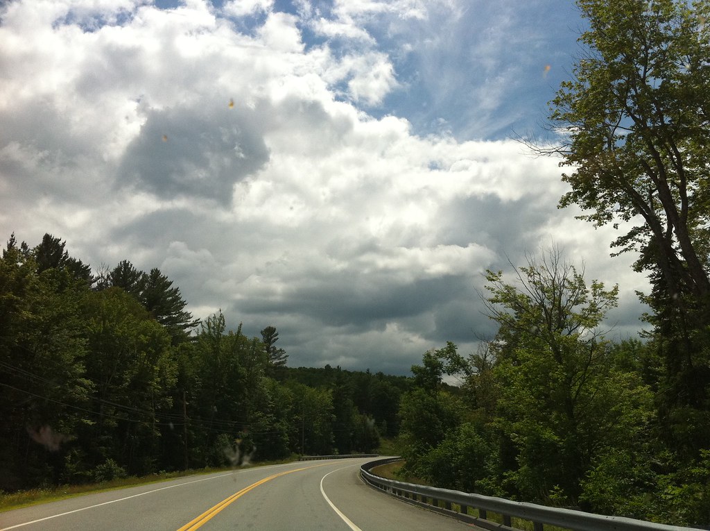
Drive By Landscapes
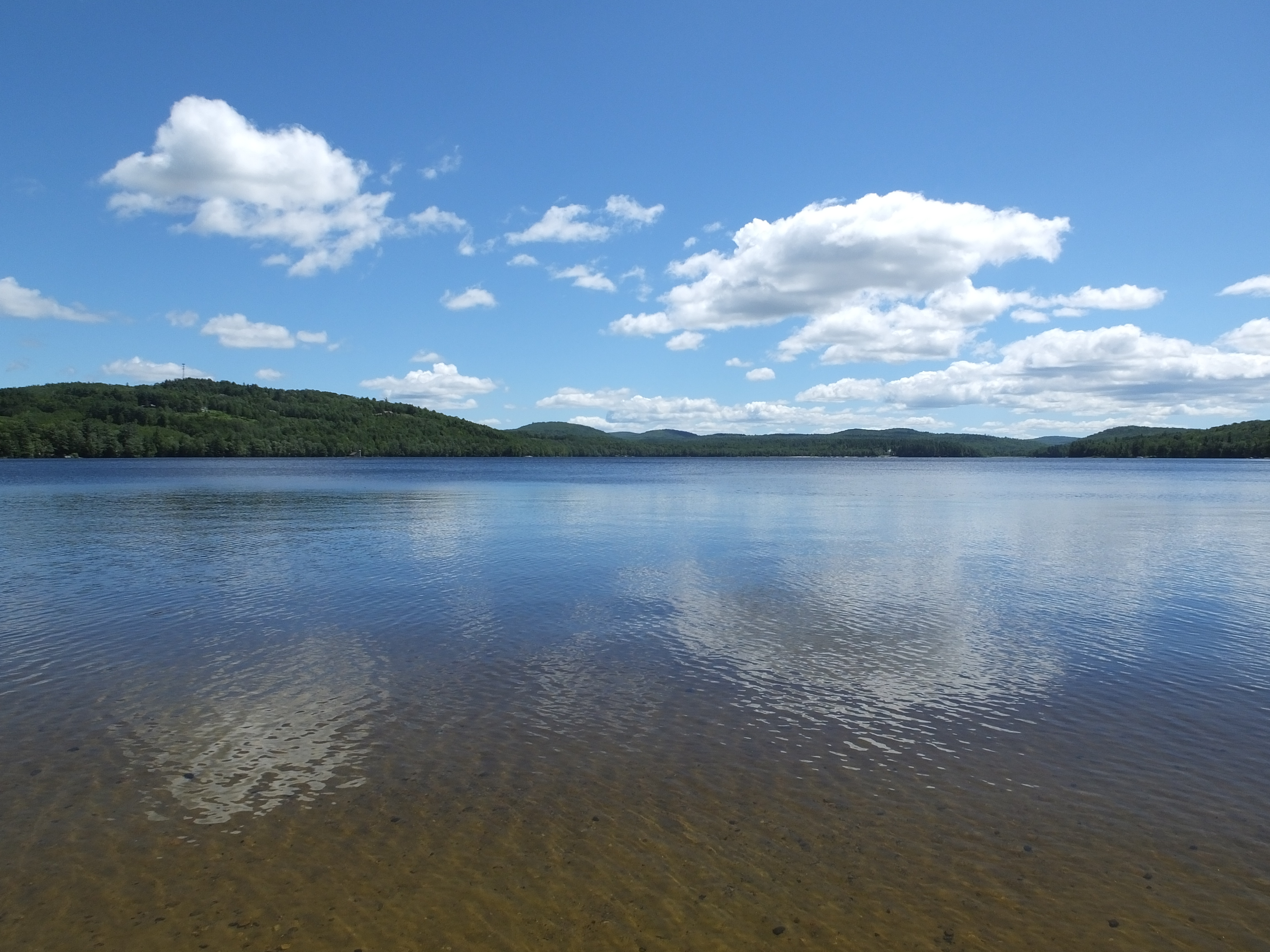
Lake Anasagunticook

From Your Woods
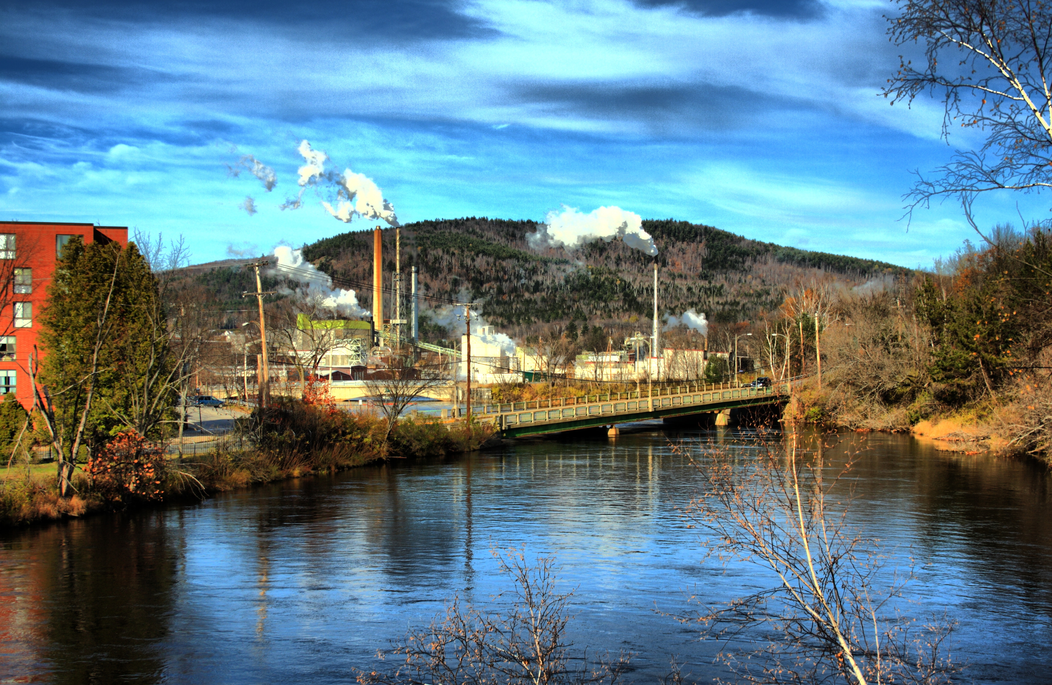
Mill and Canal HDR
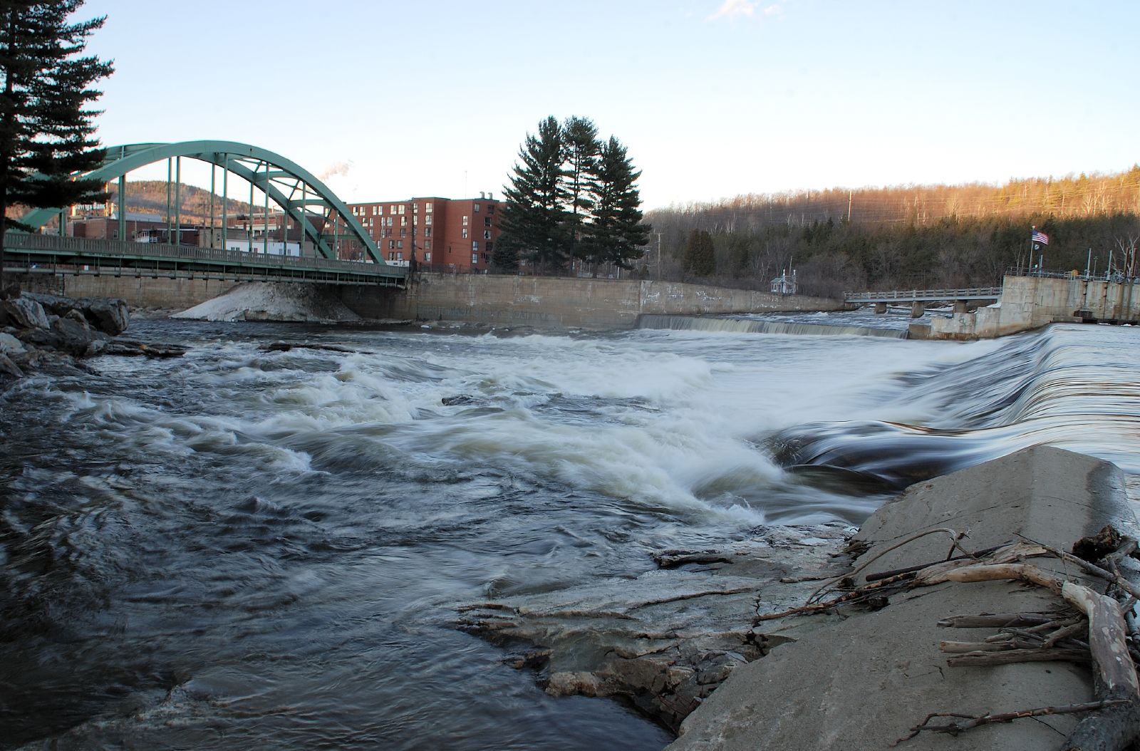
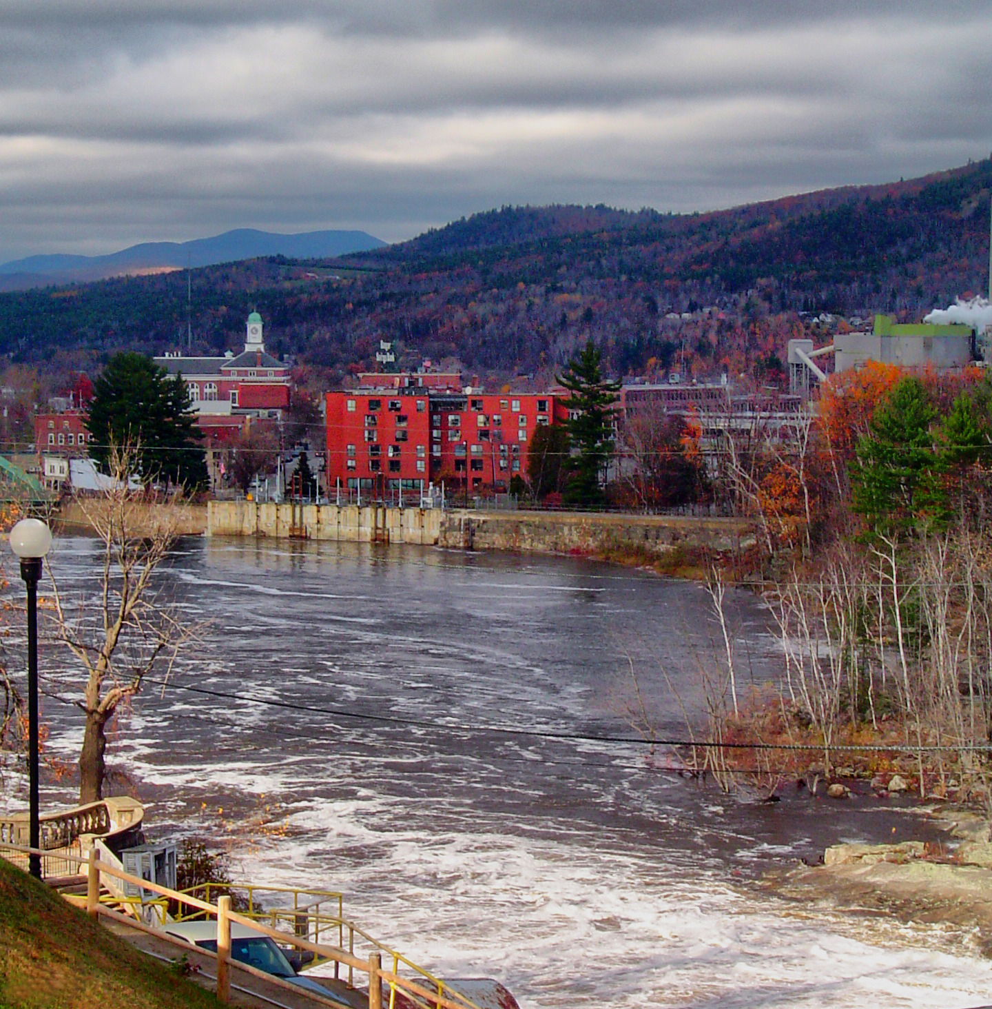
Rumford Dam at the Start of Spring

Orange Above Landscape
River Valley and the Island

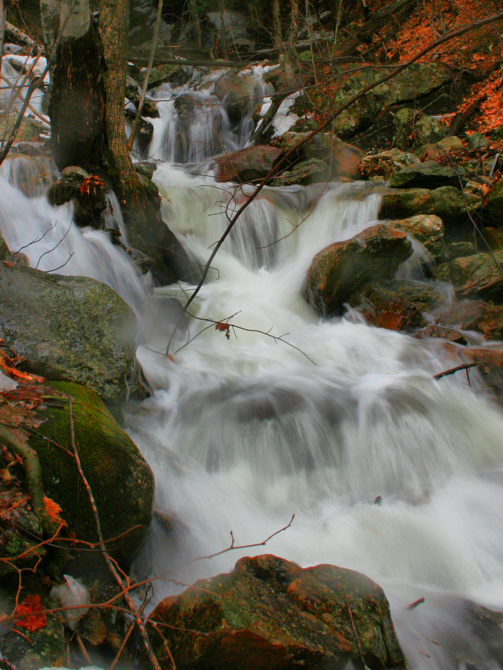
Mountain Stream
7-5
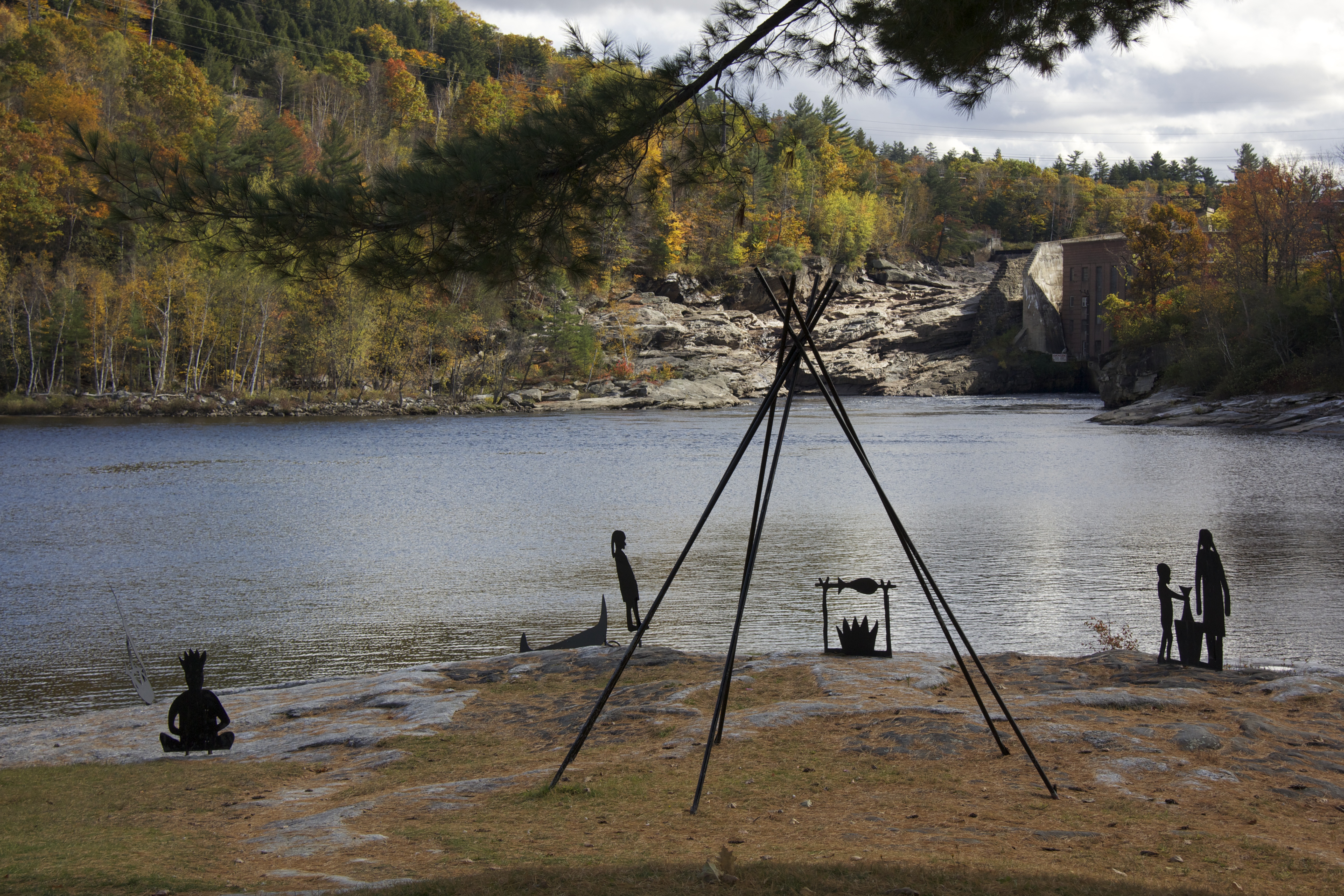
Native silhouettes at the Rumford rest stop.
Rainy Day Cacades
20120915 47 Rumford, Maine
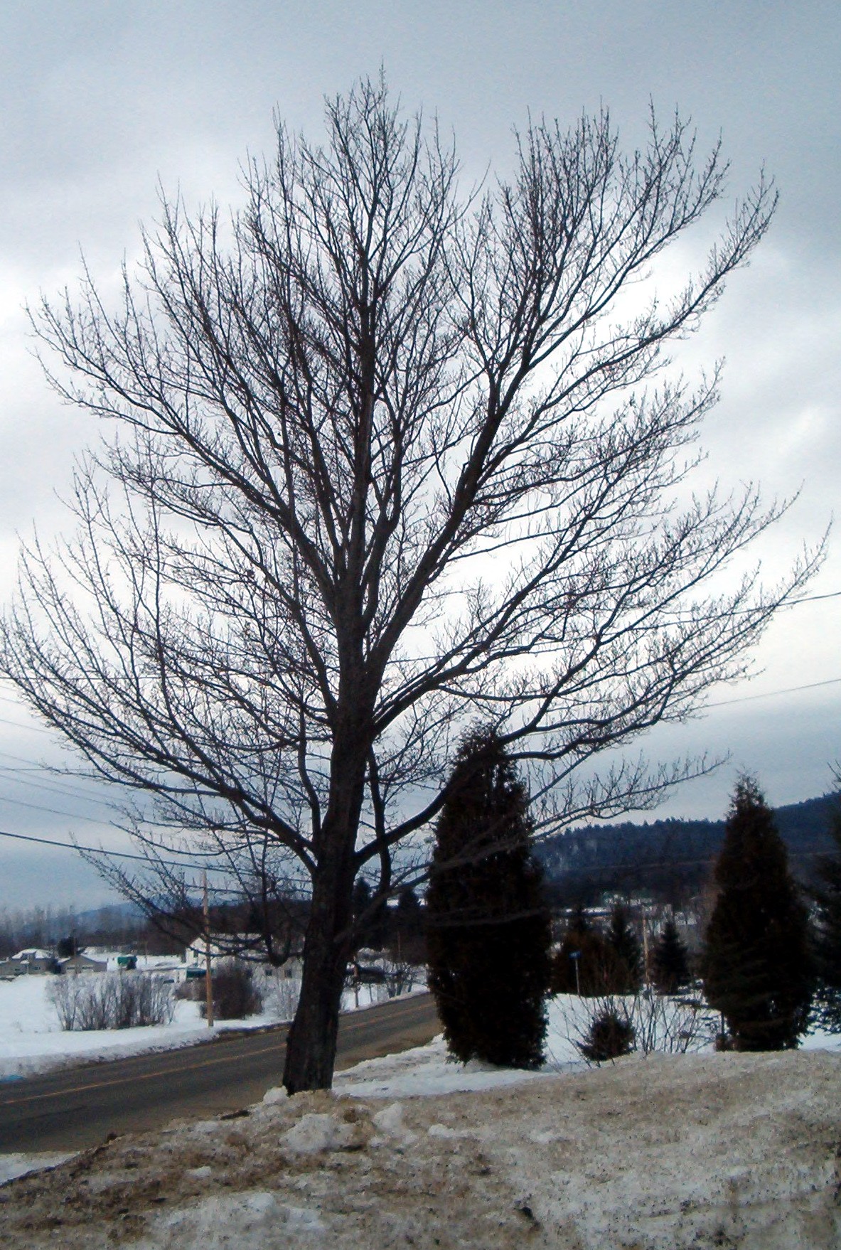
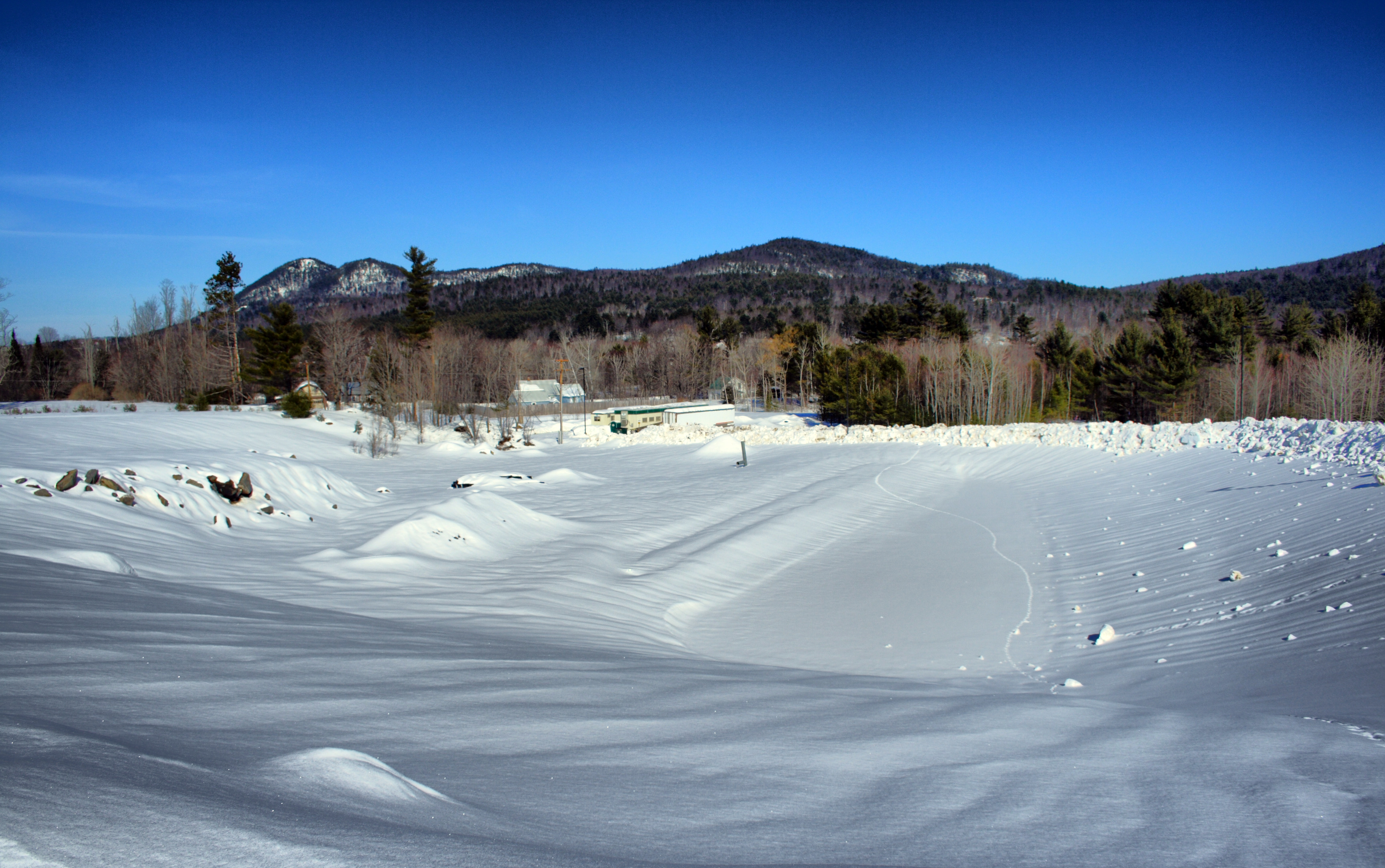
Cold Winter Day

Backyard Birch Afternoon

Information?

Peru Valley Fog

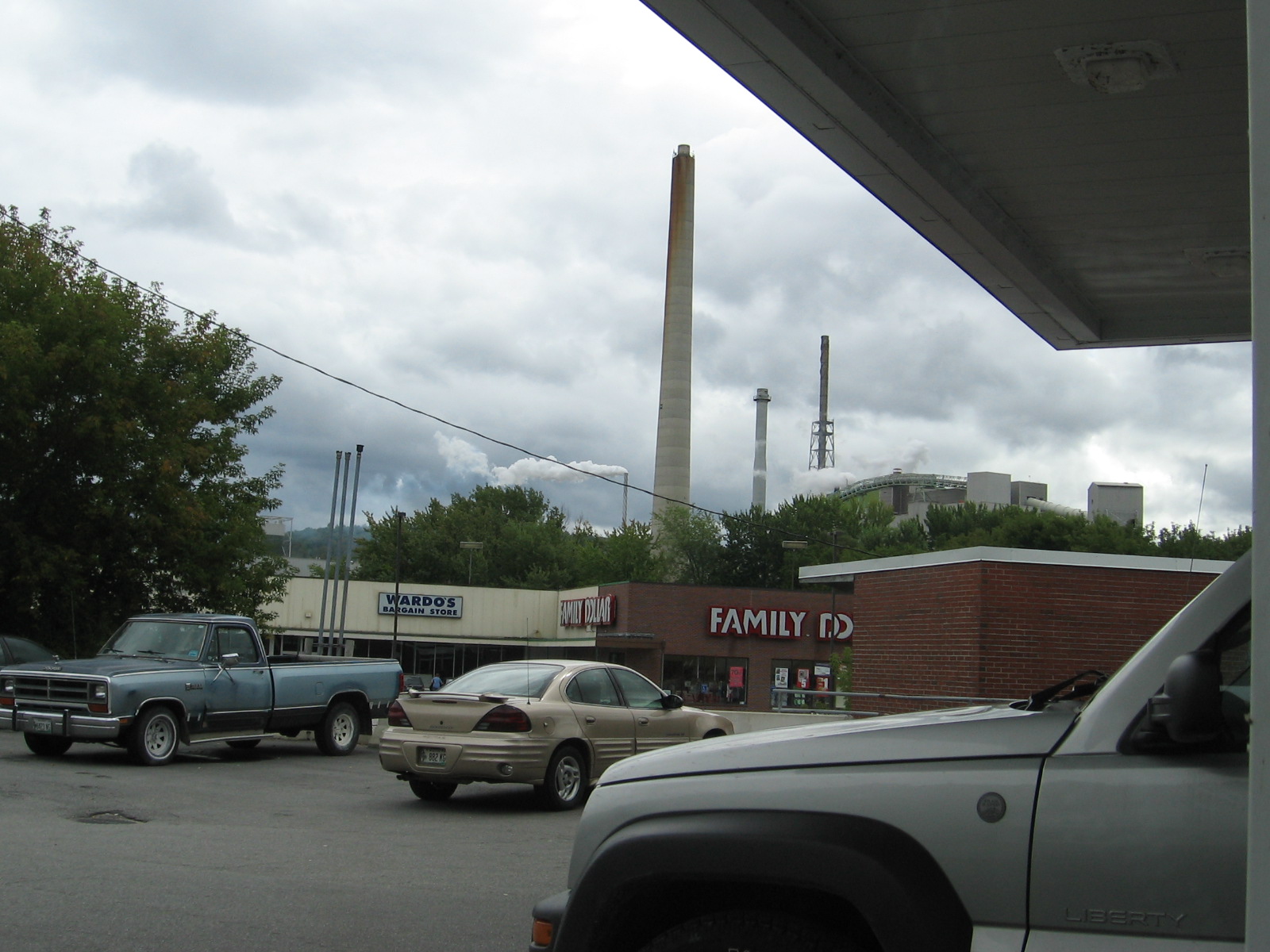
Rumford, Maine
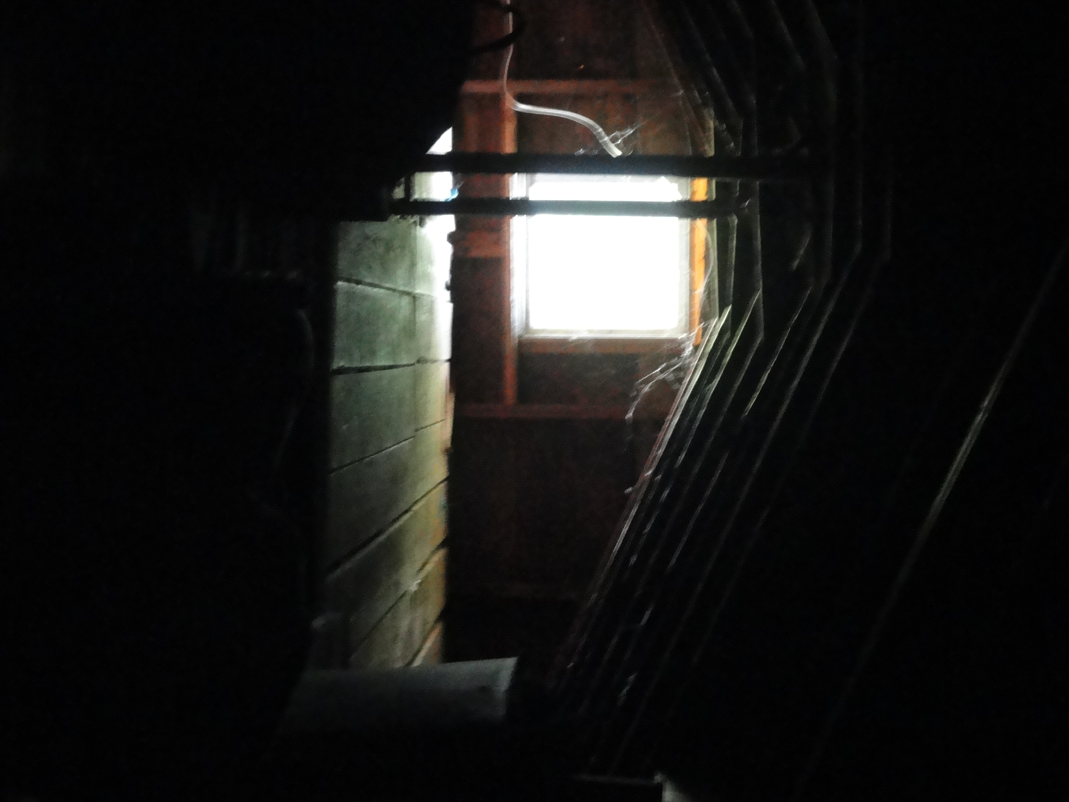
DSC05390 The Lonely Attic
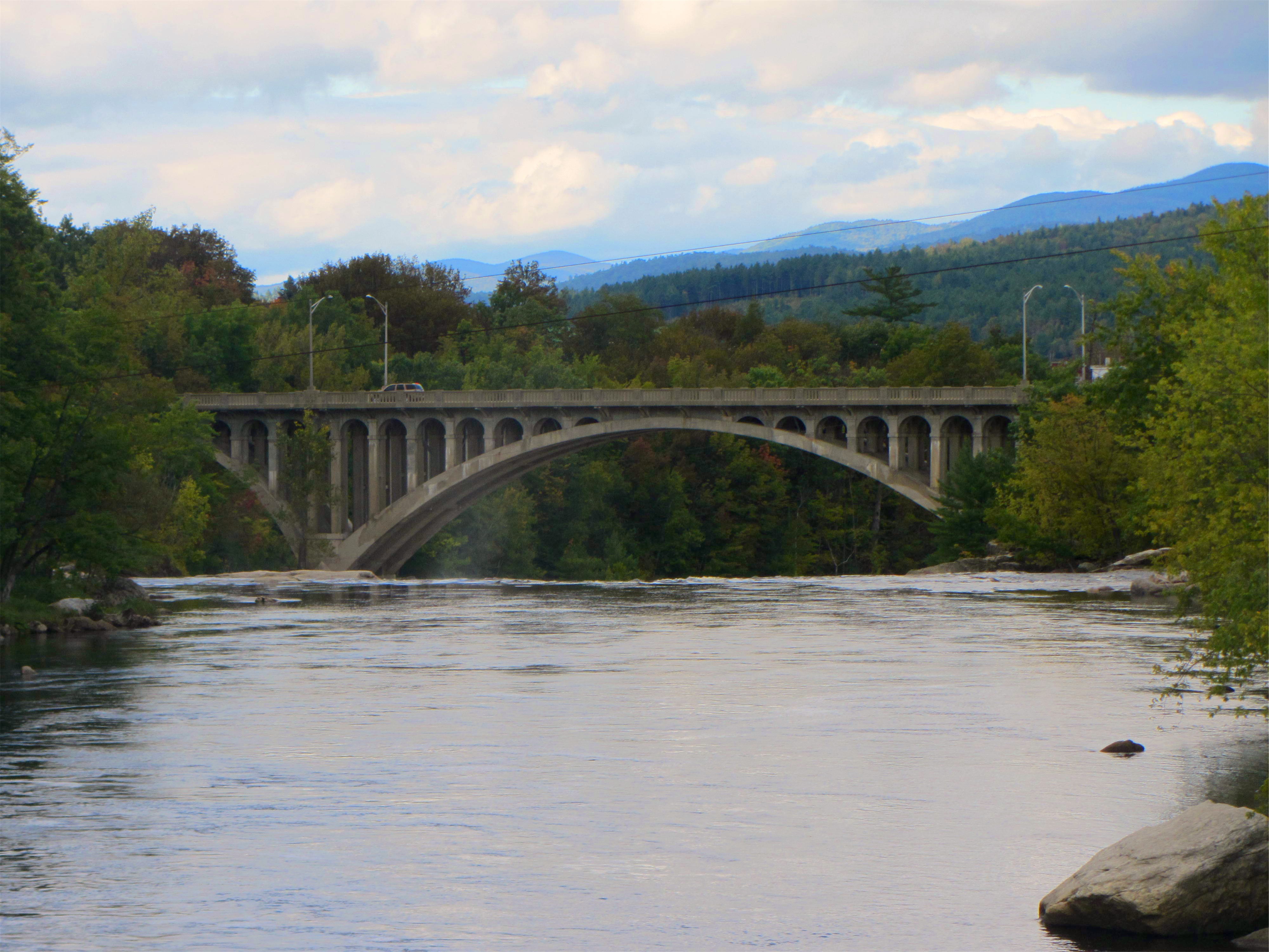
Peru Mexico Bridge
Topographic Map of Dixfield, ME, USA
Find elevation by address:

Places in Dixfield, ME, USA:
Places near Dixfield, ME, USA:
Dixfield
105 River St
105 River St
Weld Street Market
Dirigo High School
4 Dix Ave
82 Hall Hill Rd
88 Main St, Peru, ME, USA
Victory Lane
698 River Rd
459 Auburn Rd
Gammon Road
Peru
Franklin Annex
14 Wyman Hill Rd
Common Rd, Dixfield, ME, USA
Norton Road
42 Wyman Hill Rd
397 Backkingdom Rd
237 Backkingdom Rd
Recent Searches:
- Elevation of Corso Fratelli Cairoli, 35, Macerata MC, Italy
- Elevation of Tallevast Rd, Sarasota, FL, USA
- Elevation of 4th St E, Sonoma, CA, USA
- Elevation of Black Hollow Rd, Pennsdale, PA, USA
- Elevation of Oakland Ave, Williamsport, PA, USA
- Elevation of Pedrógão Grande, Portugal
- Elevation of Klee Dr, Martinsburg, WV, USA
- Elevation of Via Roma, Pieranica CR, Italy
- Elevation of Tavkvetili Mountain, Georgia
- Elevation of Hartfords Bluff Cir, Mt Pleasant, SC, USA