Elevation of US-2, Dixfield, ME, USA
Location: United States > Maine > Oxford County > Dixfield >
Longitude: -70.372141
Latitude: 44.5721807
Elevation: 201m / 659feet
Barometric Pressure: 99KPa
Elevation Map:
Satellite Map:
Related Photos:

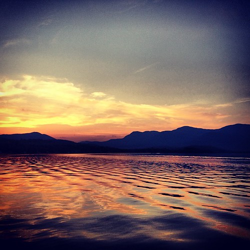
Birch Leaves

The View From Your Front Porch

Light Meets Dark
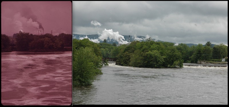
Rumford, Mexico, ME 1973 & 2012

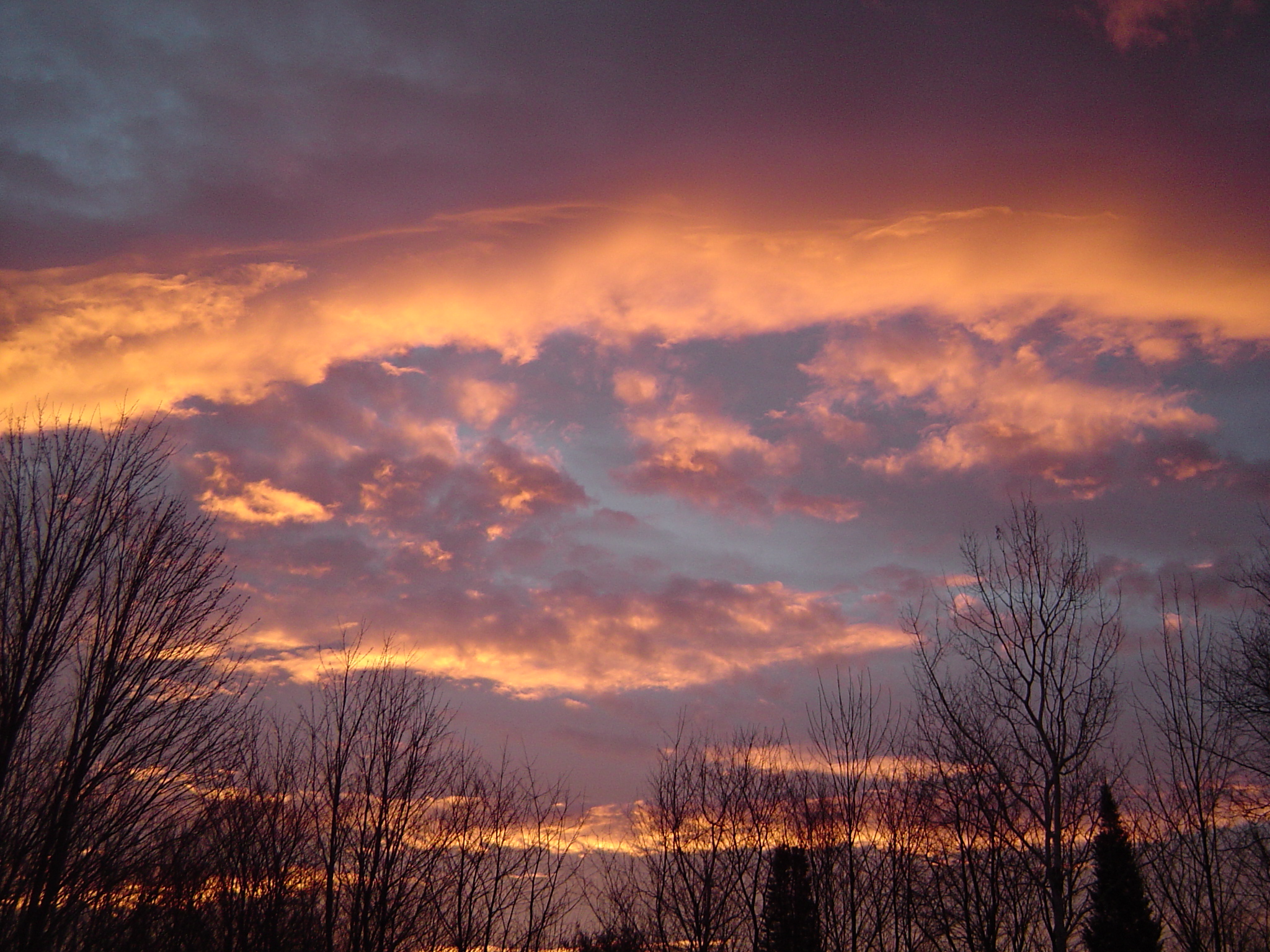
Morning Sky
View From North Jay White Granite Park
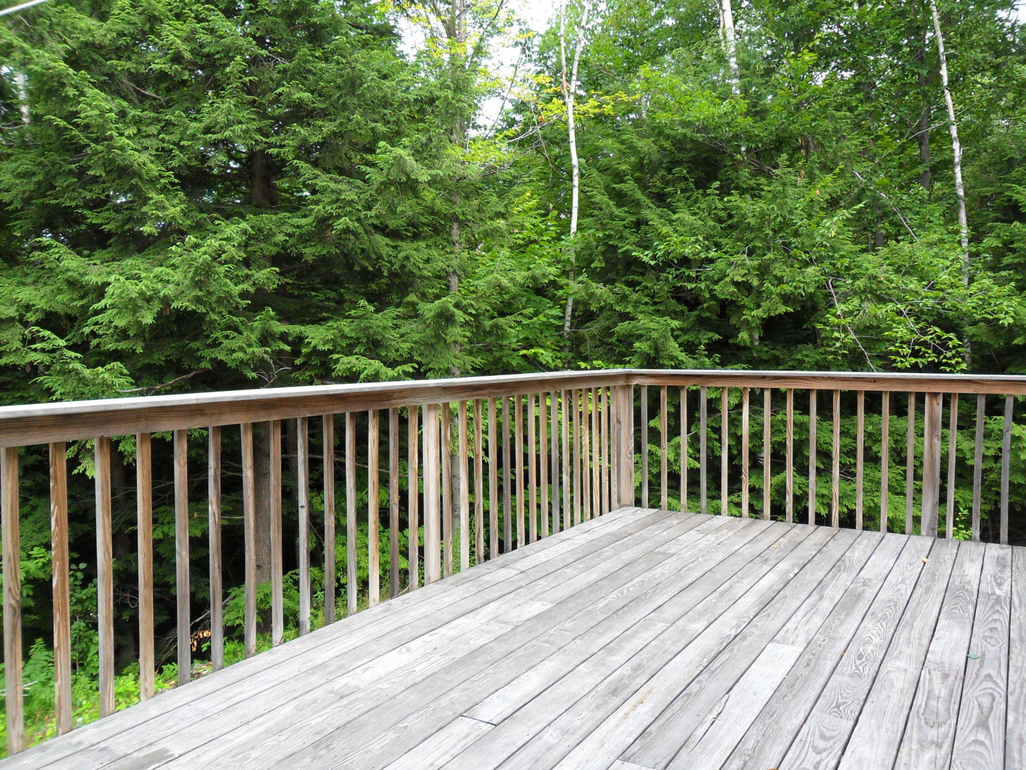
Deck View

Forest view while working this week is a lovely change of pace :)

Beautiful Morning
View from SAD 21 Elementary School
Ooops!
View from the sugar shack
Train View

Whispering Pines View
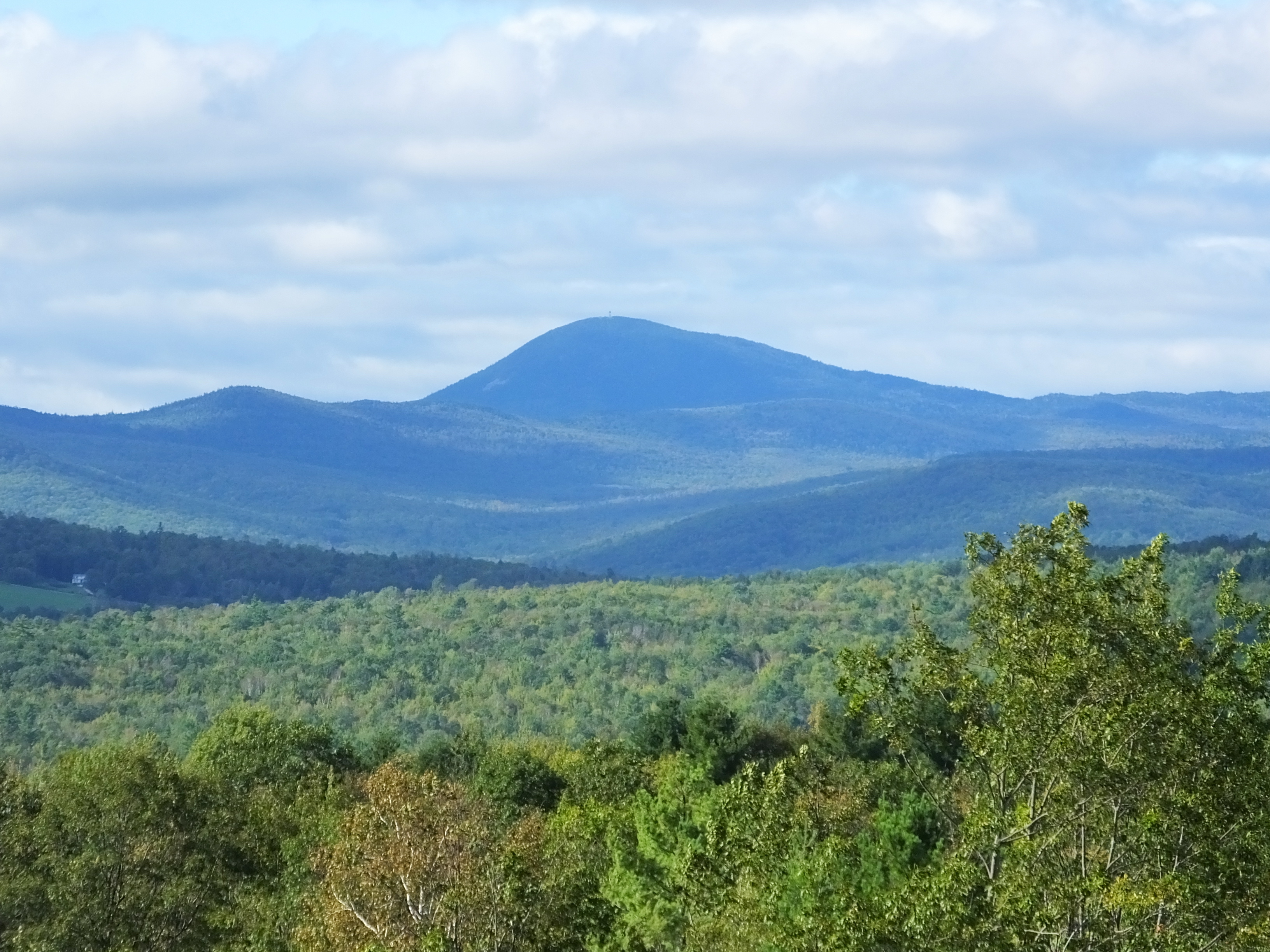
Bald Mountain
Side View
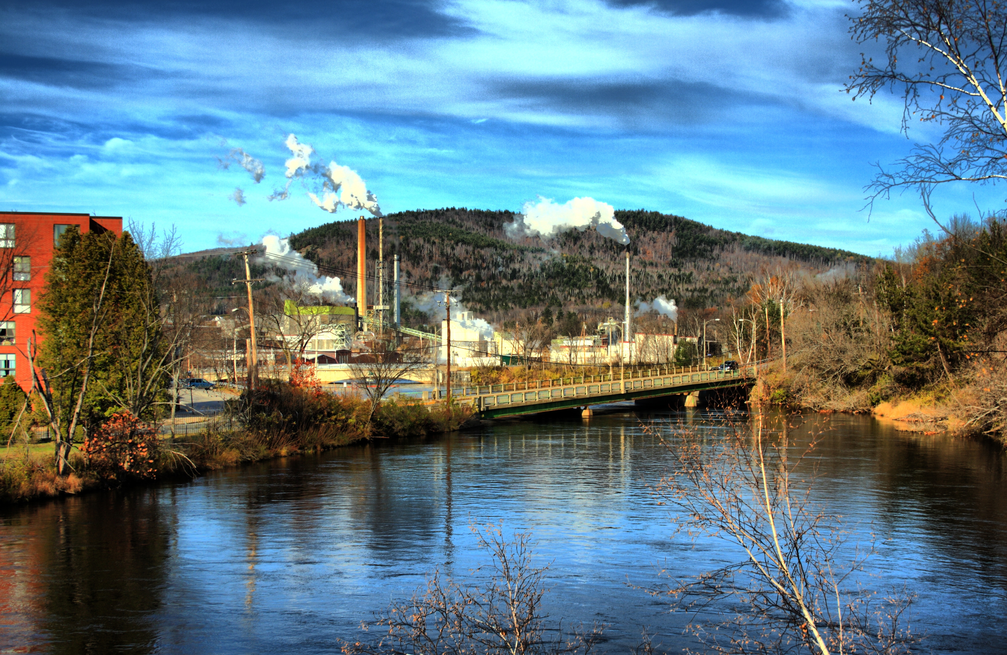
View of the Mexico, Maine skyline
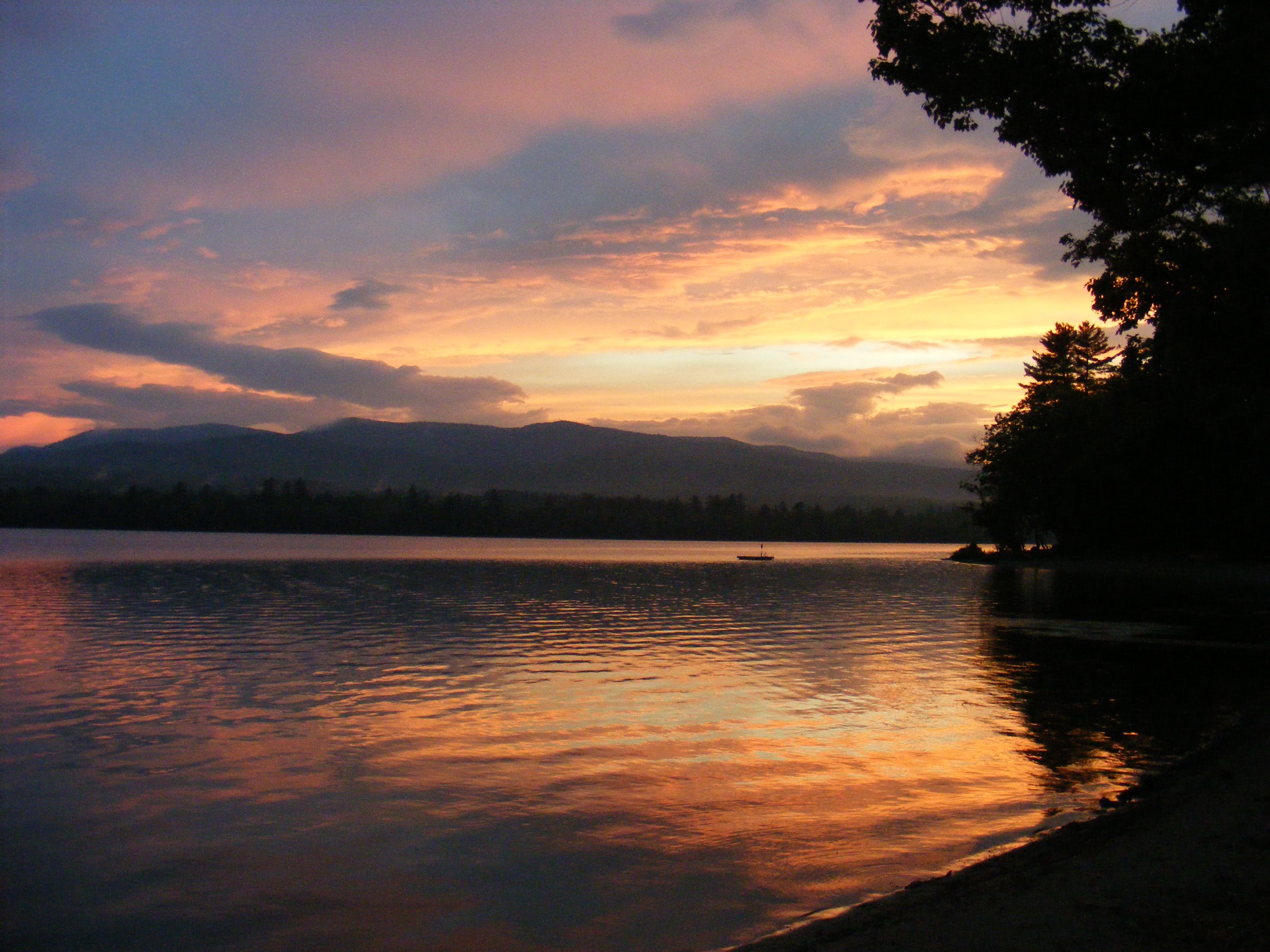
After the sunset
storm coming

Androscoggin River At Pine Island

Above Pine Island

Androscoggin River At Pine Island
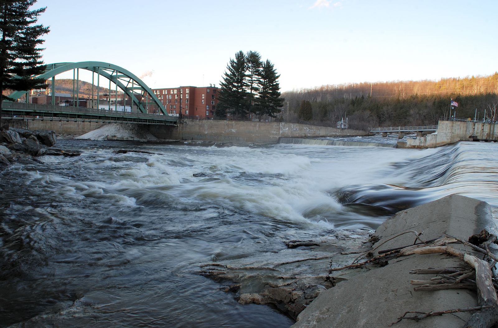
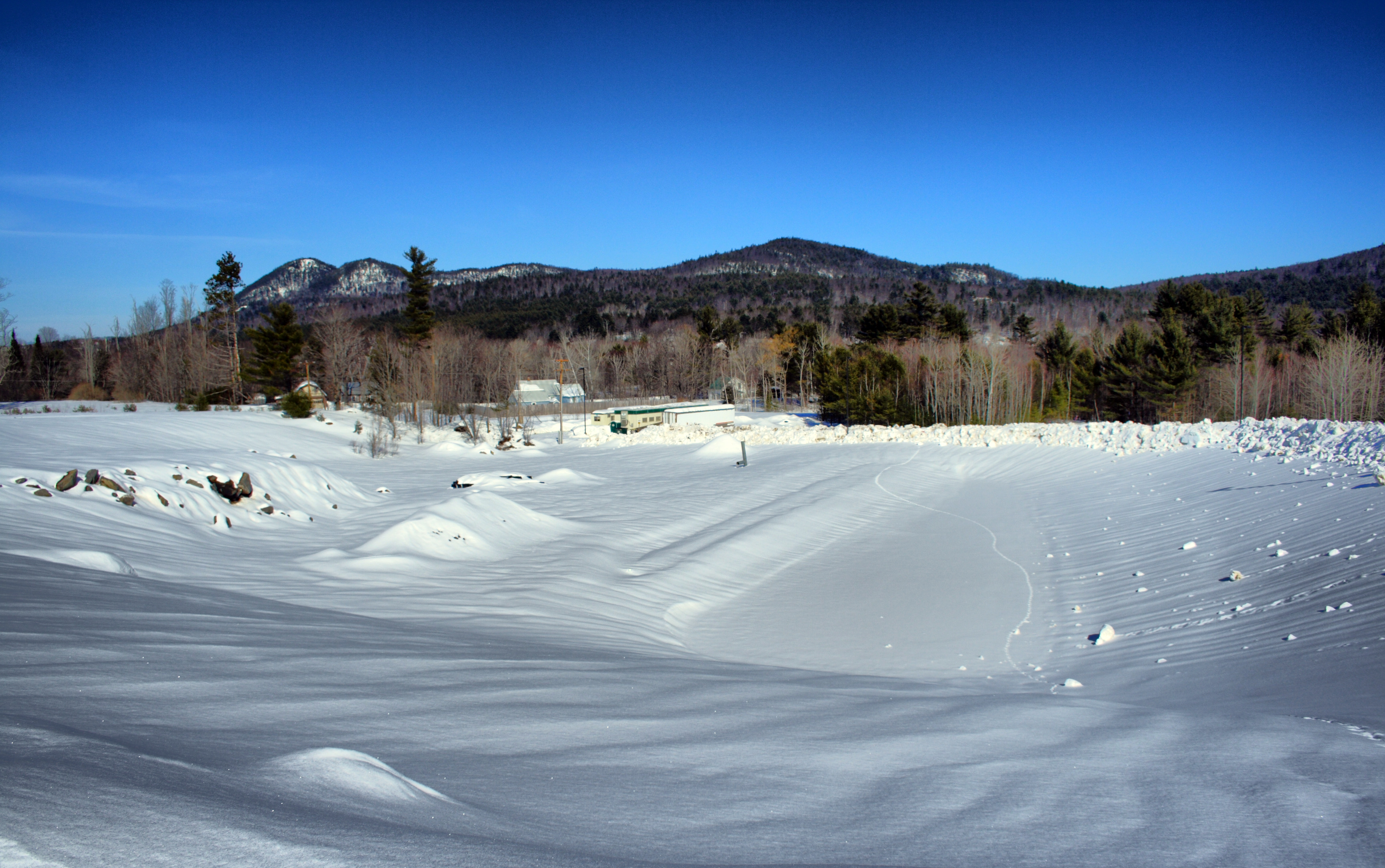
Rumford Dam at the Start of Spring
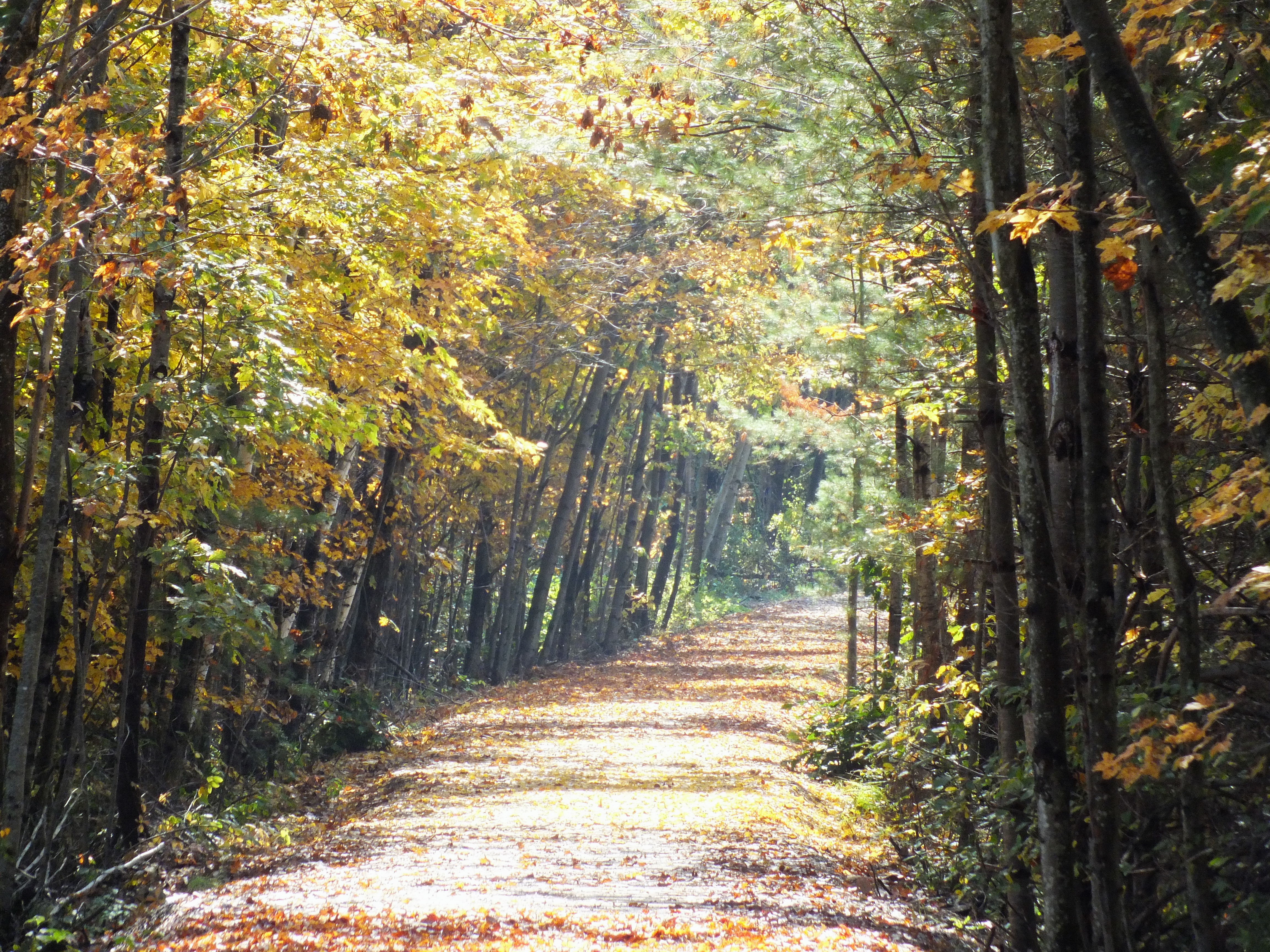
The Whistle-Stop Trail
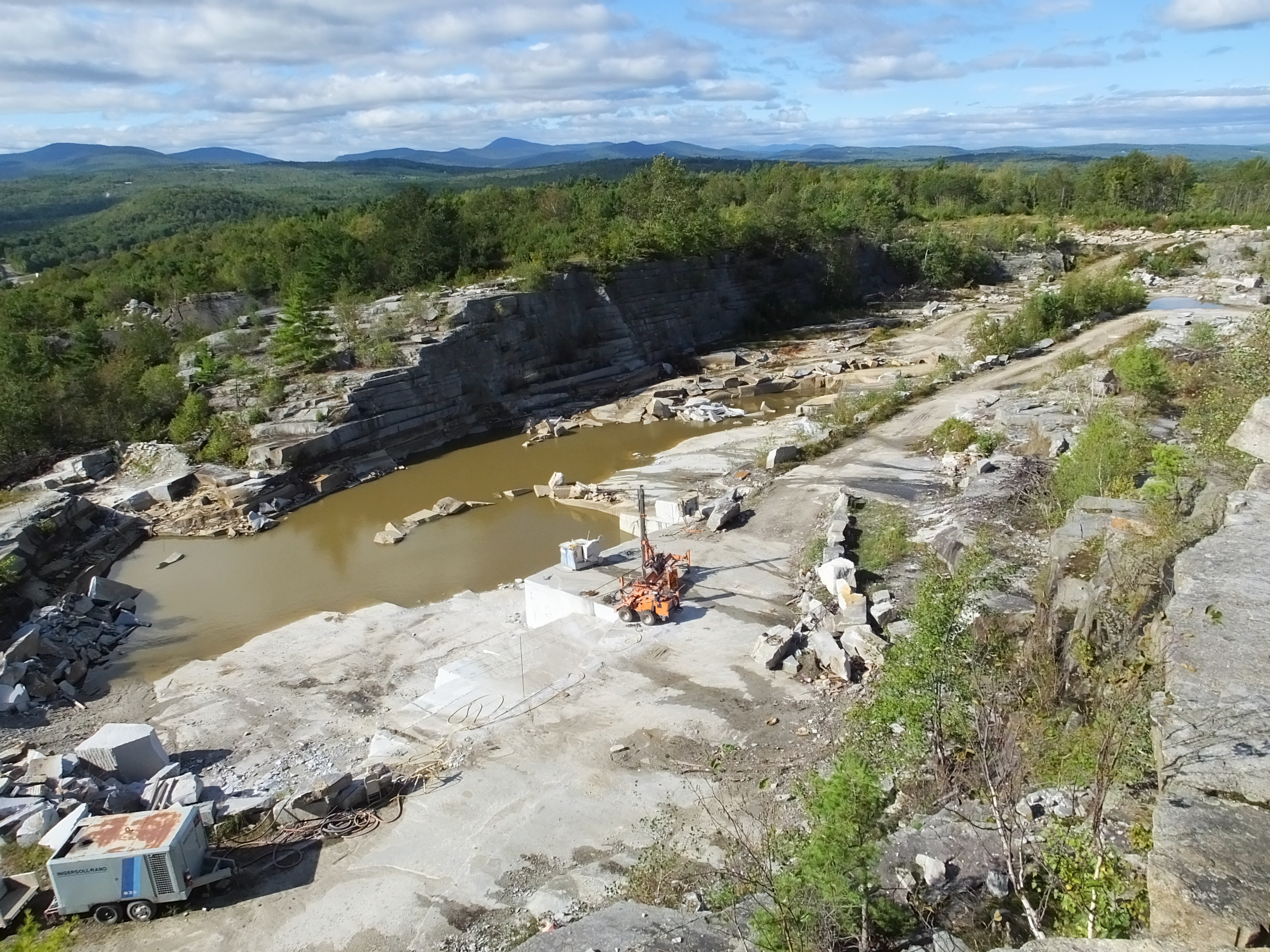
North Jay White Granite Park 1
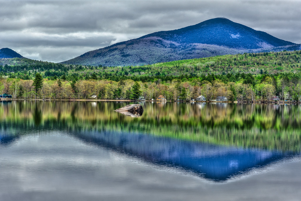
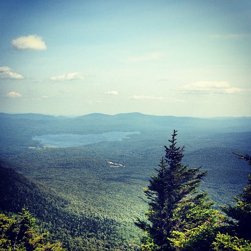
Webb Lake

Drive By Landscapes
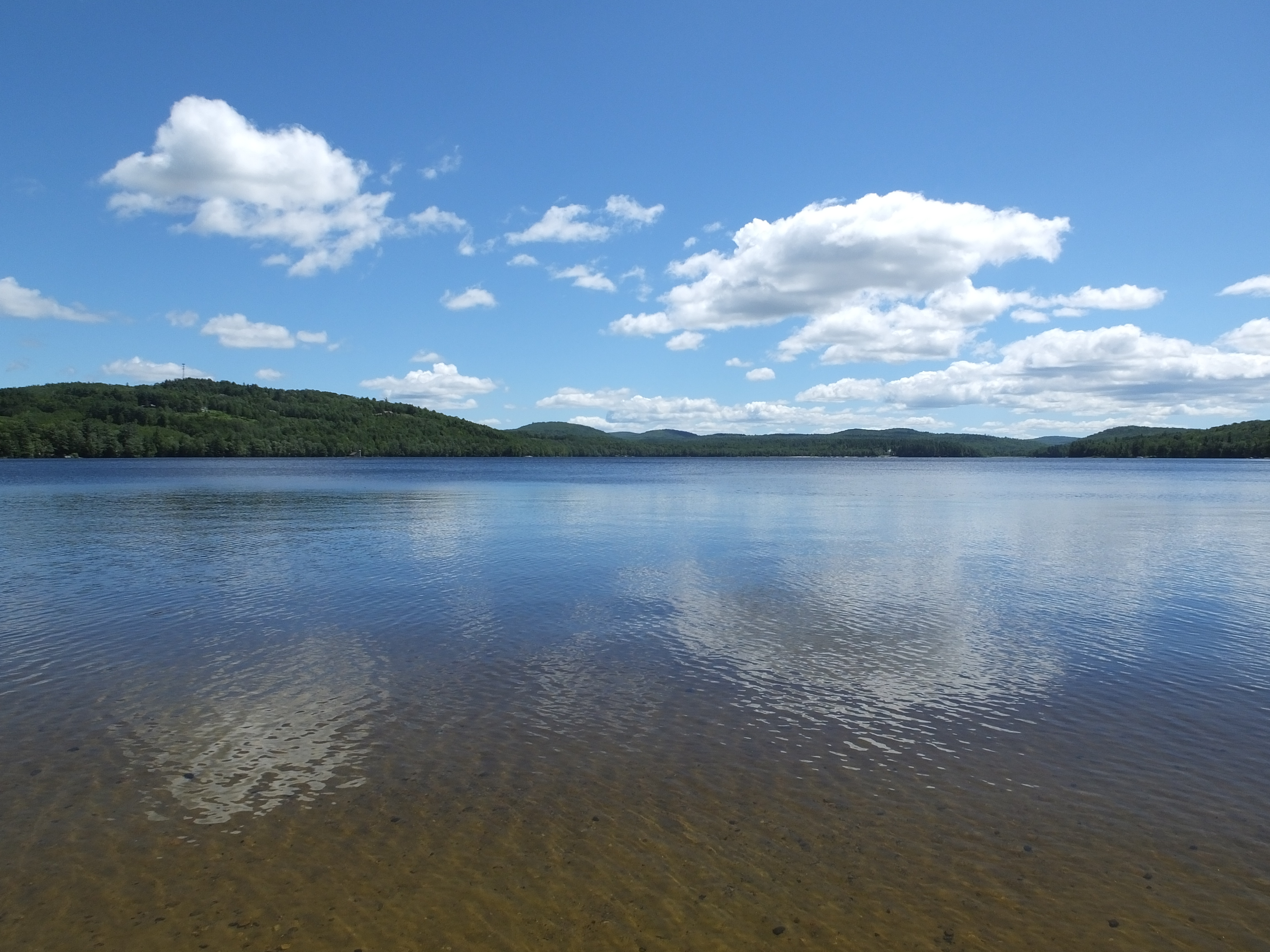
Lake Anasagunticook
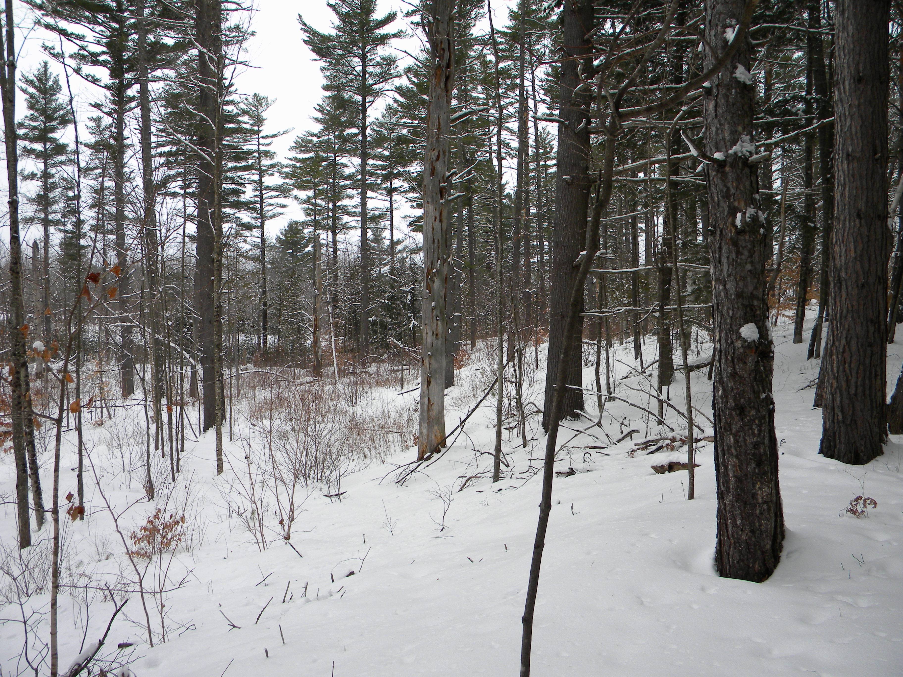
Woods on a hill
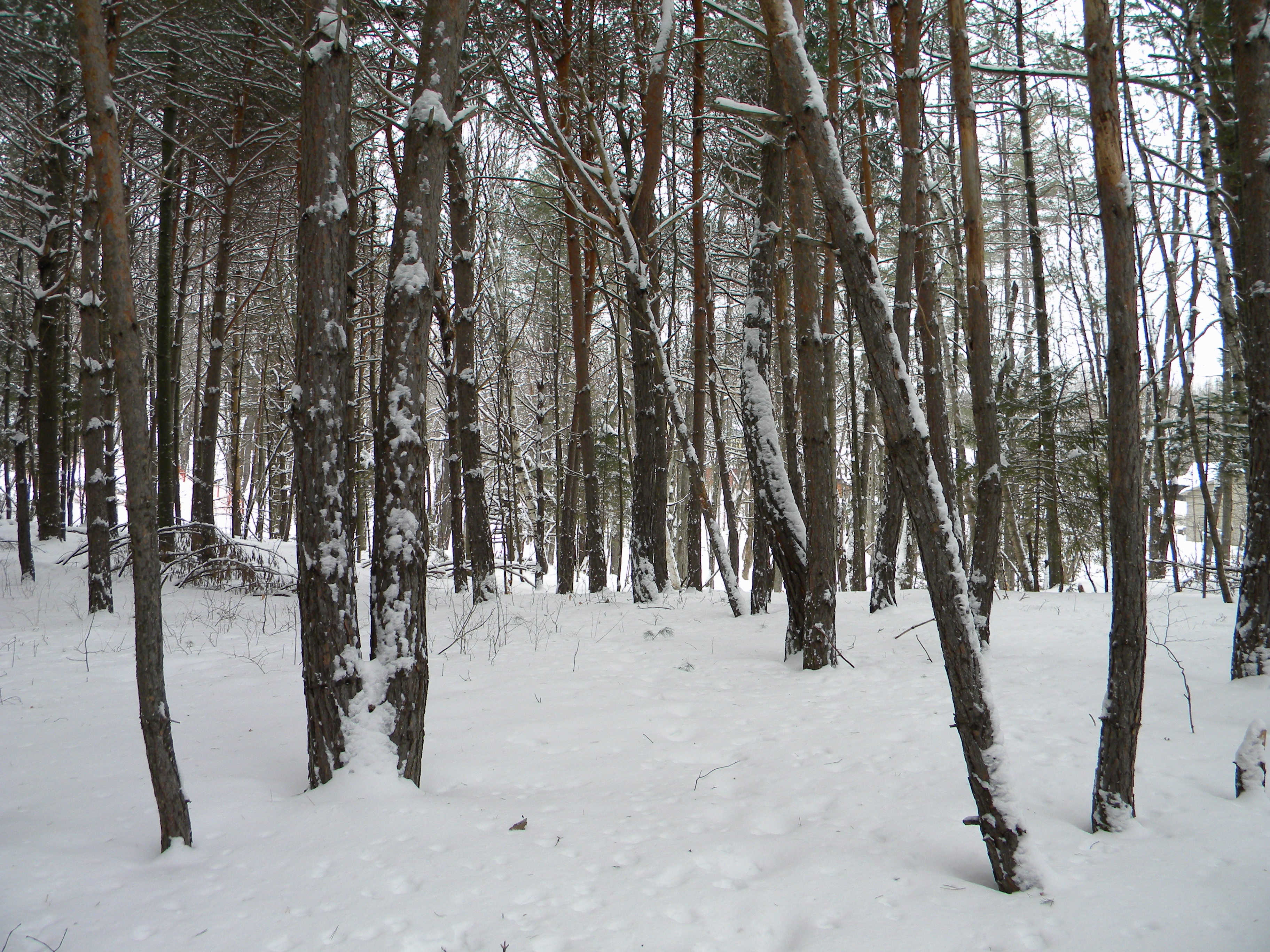
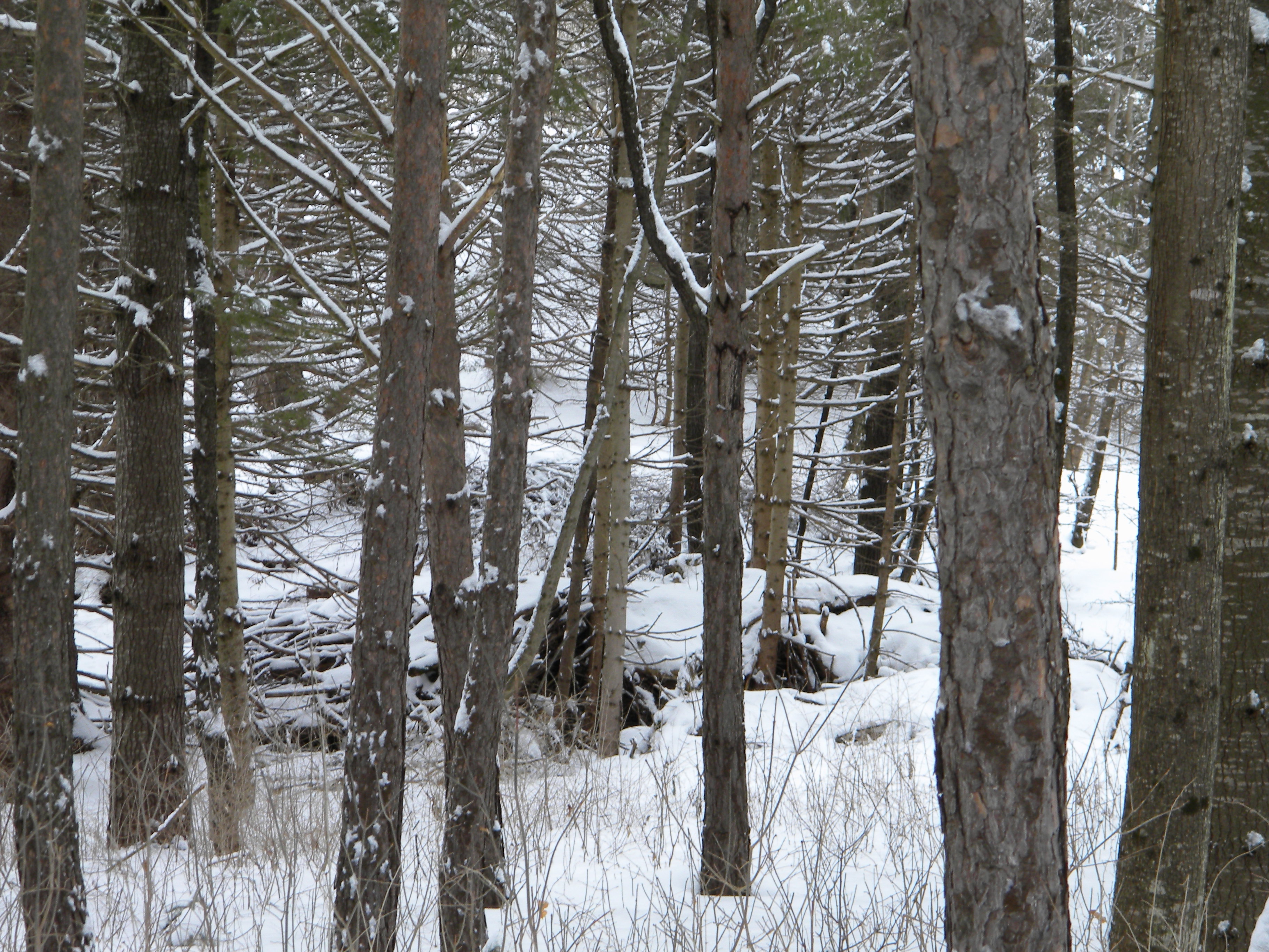
Some more forrest
Webb Lake

From Your Woods
Mill and Canal HDR
The Forrest
Webb Lake from Tumbledown Mountain el. 3054 FT #lake #mountains #mainelove #landscape
Orange Above Landscape
#sunset #tumbledown #mtjackson #mainelove #magichour
Topographic Map of US-2, Dixfield, ME, USA
Find elevation by address:

Places near US-2, Dixfield, ME, USA:
Norton Road
Common Rd, Dixfield, ME, USA
Peru
459 Auburn Rd
Victory Lane
82 Hall Hill Rd
Auburn Rd, Peru, ME, USA
Dirigo High School
4 Dix Ave
Weld Street Market
Dixfield
Dixfield
105 River St
105 River St
244 Tower Rd
88 Main St, Peru, ME, USA
698 River Rd
Gammon Road
397 Backkingdom Rd
237 Backkingdom Rd
Recent Searches:
- Elevation of Holloway Ave, San Francisco, CA, USA
- Elevation of Norfolk, NY, USA
- Elevation of - San Marcos Pass Rd, Santa Barbara, CA, USA
- Elevation of th Pl SE, Issaquah, WA, USA
- Elevation of 82- D Rd, Captain Cook, HI, USA
- Elevation of Harlow CM20 2PR, UK
- Elevation of Shenyang Agricultural University, Dong Ling Lu, Shen He Qu, Shen Yang Shi, Liao Ning Sheng, China
- Elevation of Alpha Dr, Melbourne, FL, USA
- Elevation of Hiroshima University, 1-chōme-3-2 Kagamiyama, Higashihiroshima, Hiroshima -, Japan
- Elevation of Bernina Dr, Lake Arrowhead, CA, USA