Elevation of Dinkle Rd, Stanley, NM, USA
Location: United States > New Mexico > Santa Fe County >
Longitude: -106.02293
Latitude: 35.085292
Elevation: 1904m / 6247feet
Barometric Pressure: 80KPa
Elevation Map:
Satellite Map:
Related Photos:
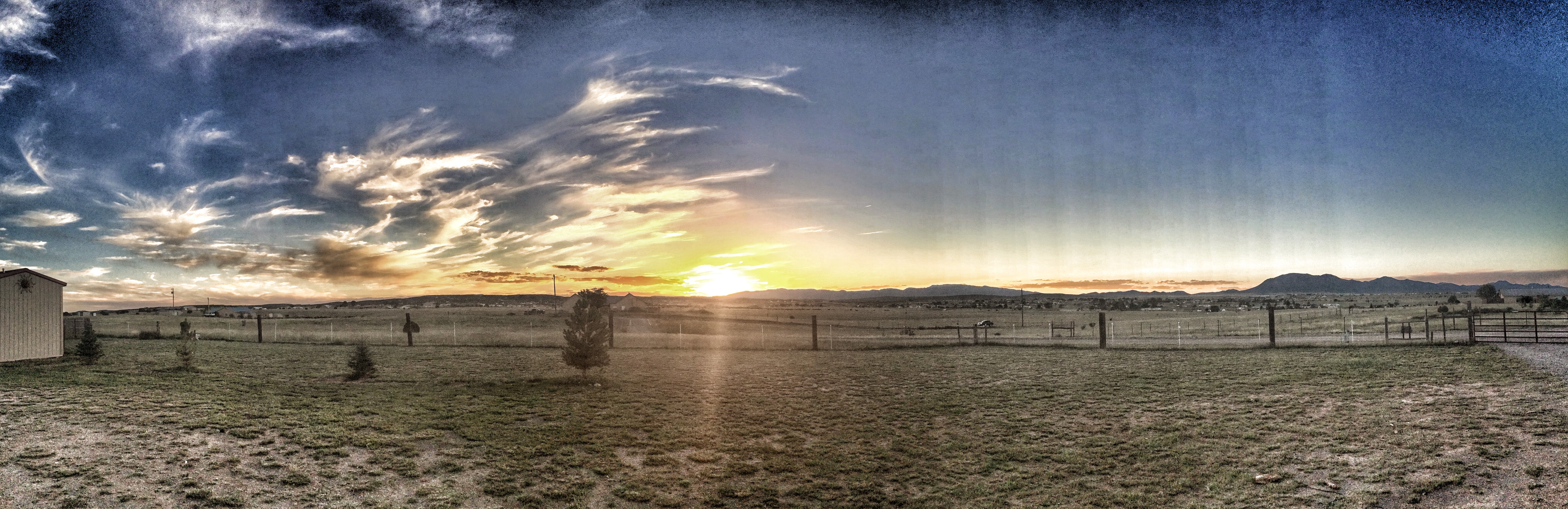
Sunset - Edgewood, NM
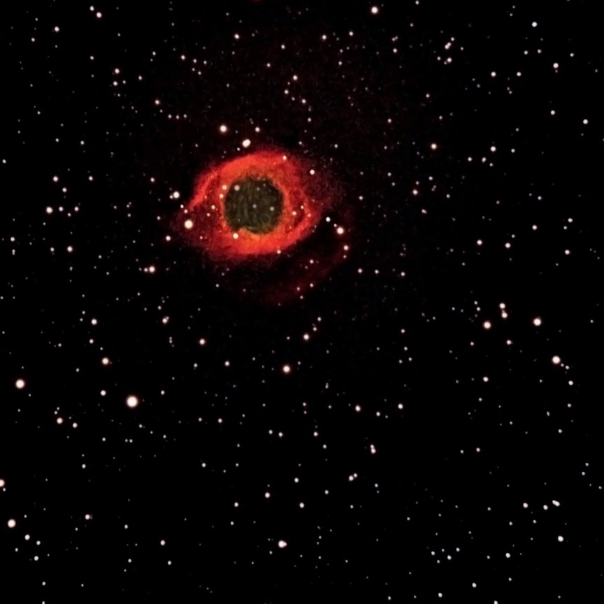
Helix Nebula
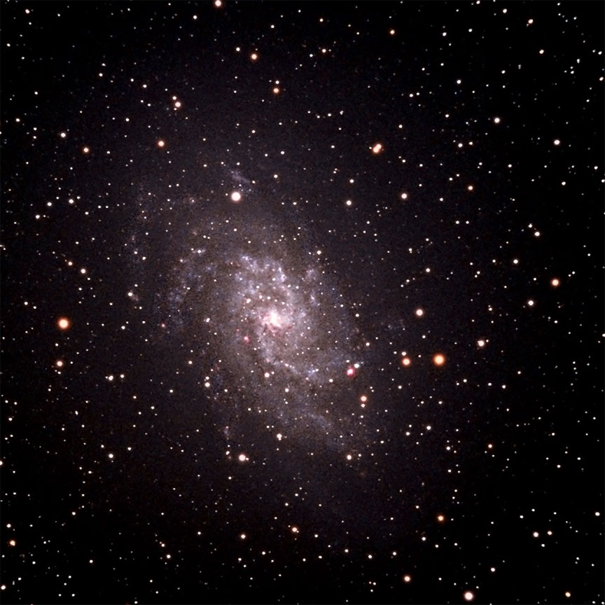
Triangulum Galaxy
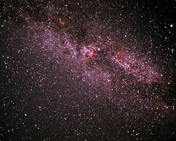
Cygnus (Wide Field)
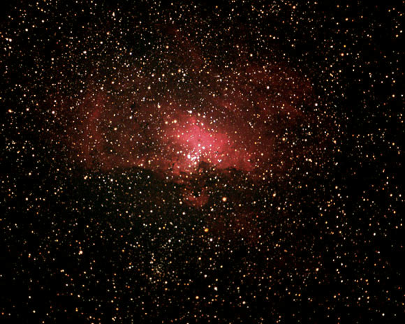
Eagle Nebula
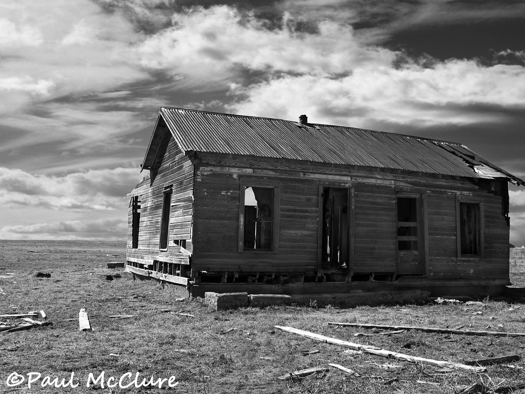
Dinkle house

White Out
20150516 070955 1SL5

Aerial Photography Airplane Fly New Mexico Desert IMG_2806

Aerial Photography Airplane Fly New Mexico Desert IMG_2808

Landscape_090711_LR-30.jpg

high plains nm

Aerial Photography Airplane Fly New Mexico Desert IMG_2807
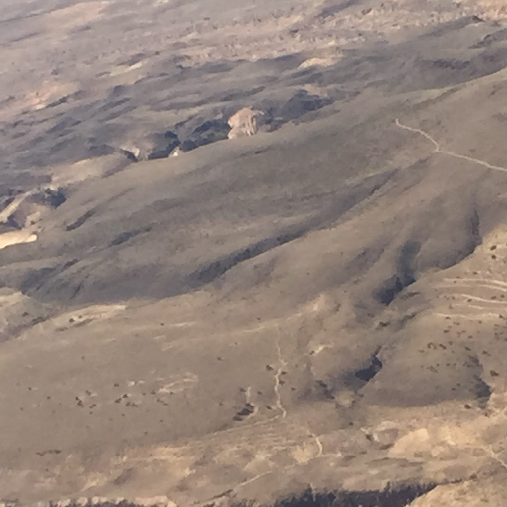
Aerial Photography Airplane Fly New Mexico Desert IMG_2804

Aerial Photography Airplane Fly New Mexico Desert IMG_2809

#beautiful #sunset #rainstorm #rain #lightbeam #weather #clouds #storm #bicoastal #crosscountry #roadtrip #california to #georgia #driving #america

Big sky over the Sandias.
#TravelMyPlanet to #Albuquerque and enjoying the #landscape @herrerafluis #traveler

Truck_092712_LR-316.jpg
SWC Roll 1 (3/12)

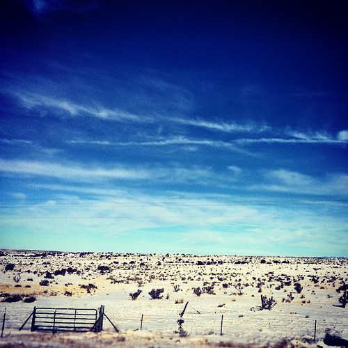
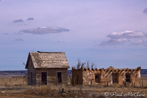
Abandoned - Stanley, NM
I-40 East New Mexico (48)
SWC Roll 1 (4/12)
ROUTE66_1113 - MORIARTY NM

My mom's greenhouse. Her camera. Her shot.
Stanley NM
Topographic Map of Dinkle Rd, Stanley, NM, USA
Find elevation by address:

Places near Dinkle Rd, Stanley, NM, USA:
9 Co Rd 6A, Stanley, NM, USA
28 Co Rd 6a
47 King Farm Rd
966 Co Rd 8
Stanley
NM-, Moriarty, NM, USA
Moriarty
349 E Venus Rd
Moriarty, NM, USA
1815 Nm-333
Dinkle Rd, Edgewood, NM, USA
8 Oak Rd
44 Plains View Ln
25 Quail Run E
4 Richardson Rd
76 Hill Ranch Rd, Edgewood, NM, USA
321 Madrid Ave
Edgewood
1 Lacy Rd
5 Serrania
Recent Searches:
- Elevation of Spaceport America, Co Rd A, Truth or Consequences, NM, USA
- Elevation of Warwick, RI, USA
- Elevation of Fern Rd, Whitmore, CA, USA
- Elevation of 62 Abbey St, Marshfield, MA, USA
- Elevation of Fernwood, Bradenton, FL, USA
- Elevation of Felindre, Swansea SA5 7LU, UK
- Elevation of Leyte Industrial Development Estate, Isabel, Leyte, Philippines
- Elevation of W Granada St, Tampa, FL, USA
- Elevation of Pykes Down, Ivybridge PL21 0BY, UK
- Elevation of Jalan Senandin, Lutong, Miri, Sarawak, Malaysia