Elevation of Edgewood, NM, USA
Location: United States > New Mexico > Santa Fe County >
Longitude: -106.19141
Latitude: 35.0614358
Elevation: 2026m / 6647feet
Barometric Pressure: 79KPa
Elevation Map:
Satellite Map:
Related Photos:

the view from my backyard...
12 09 28 My View From Here: Horseshoe Valley.

12 09 29 My View From Here: Treetoptrekking.
Sunset - Edgewood, NM

Madrid, NM view.
Jeep with a view
Here's the other side

No Like Snow

Well? Shall we go? Yes, let's go.

Road Trip 201212060017
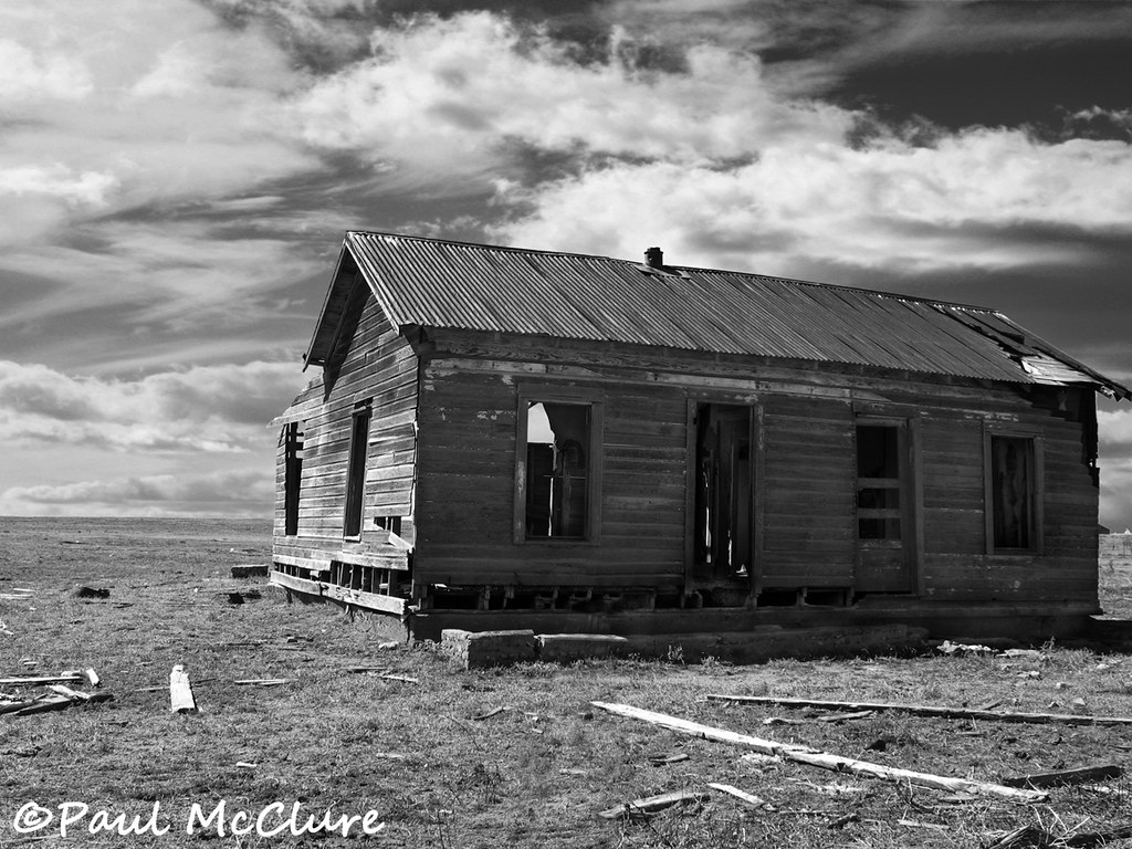
Dinkle house

White Out

#sunrise in #edgewood #newmexico with the family - #roadtrip #morningwalk #earlybird

Sandia Park Sunrise

Sandia Sunrise
Topographic Map of Edgewood, NM, USA
Find elevation by address:

Places in Edgewood, NM, USA:
Dinkle Rd, Edgewood, NM, USA
76 Hill Ranch Rd, Edgewood, NM, USA
Ballenger Ranch Rd, Edgewood, NM, USA
Nm 14, Edgewood, NM, USA
Simmons Rd, Edgewood, NM, USA
Equestrian Park Road
Serrania
New Mexico 344
Mountain Valley Road
Mountain Valley Trail
Camino Estribor
Eagle Point
Canyon Hills
Places near Edgewood, NM, USA:
5 Hope Ct
5 Colina Verdosa Ct
34 Blue Mule Dr
Camino Estribor
30 Turner Ridge Rd
5 Serrania
14 Serrania
Serrania
1 Lacy Rd
76 Hill Ranch Rd, Edgewood, NM, USA
56 Sunny Dale Rd
60 Sunny Dale Rd
Mountain Valley Trail
33 Cll Cinturon
33 Cll Viernes
7 Sandia Mountain Ranch Dr
25 Western Trail Dr
Nm Tree Removal
Equestrian Park Road
Eagle Point
Recent Searches:
- Elevation of Kreuzburger Weg 13, Düsseldorf, Germany
- Elevation of Gateway Blvd SE, Canton, OH, USA
- Elevation of East W.T. Harris Boulevard, E W.T. Harris Blvd, Charlotte, NC, USA
- Elevation of West Sugar Creek, Charlotte, NC, USA
- Elevation of Wayland, NY, USA
- Elevation of Steadfast Ct, Daphne, AL, USA
- Elevation of Lagasgasan, X+CQH, Tiaong, Quezon, Philippines
- Elevation of Rojo Ct, Atascadero, CA, USA
- Elevation of Flagstaff Drive, Flagstaff Dr, North Carolina, USA
- Elevation of Avery Ln, Lakeland, FL, USA