Elevation of Dill Rd, Landrum, SC, USA
Location: United States > South Carolina > Spartanburg County > Landrum >
Longitude: -82.266623
Latitude: 35.103723
Elevation: 307m / 1007feet
Barometric Pressure: 98KPa
Elevation Map:
Satellite Map:
Related Photos:
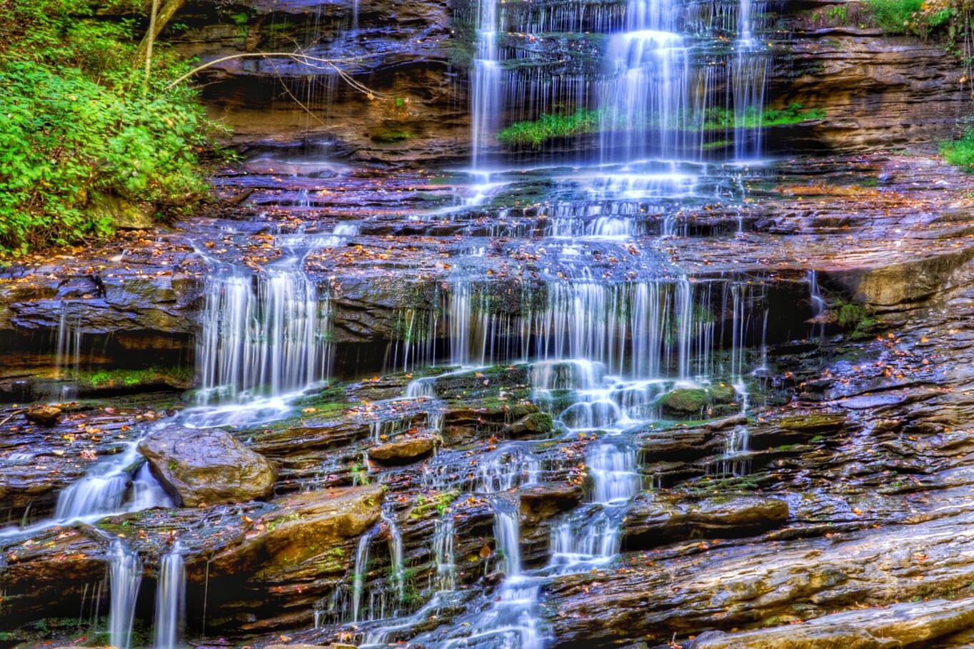
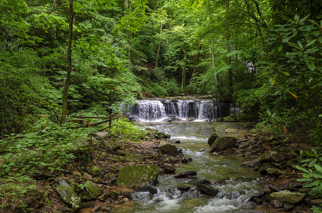
Pearson's Falls

Pearson Lower New Trail - Read Description
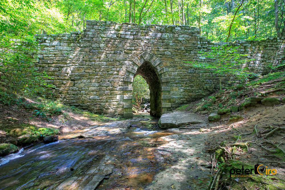
Poinsett Bridge near Highland, SC

The Hayloft Cottage

Tree with Mushrooms in Landrum, SC

Springhouse Cottage
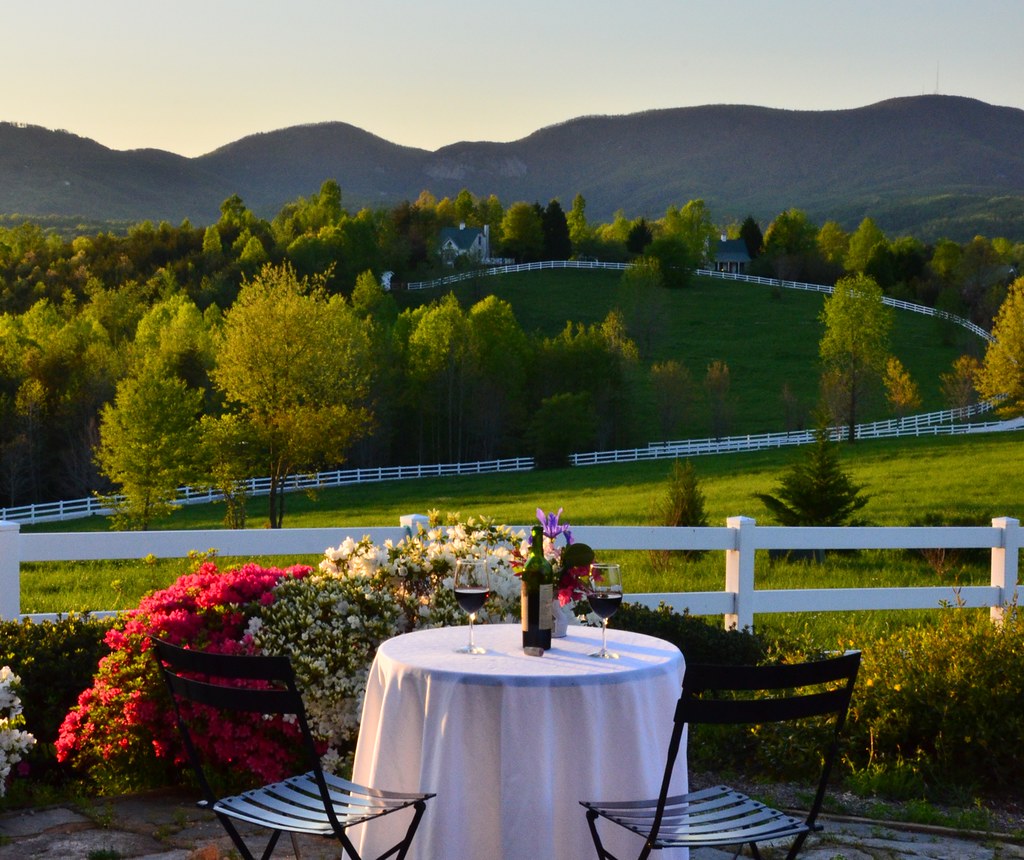
Wine Glass Table Moutains

Saluda runaway track
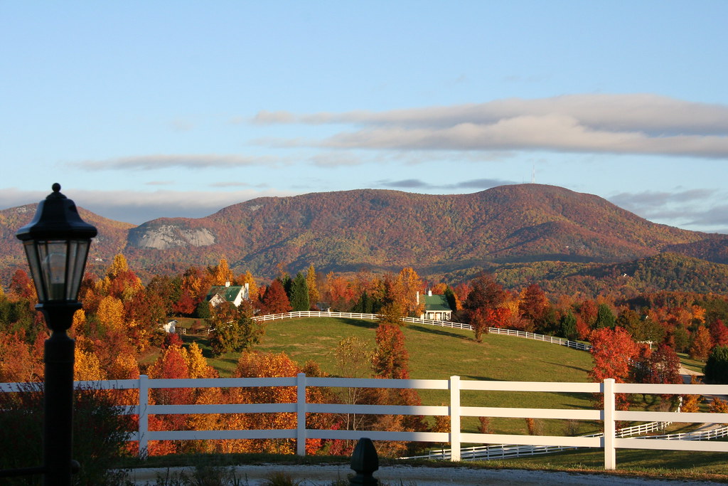
RHI in the Fall
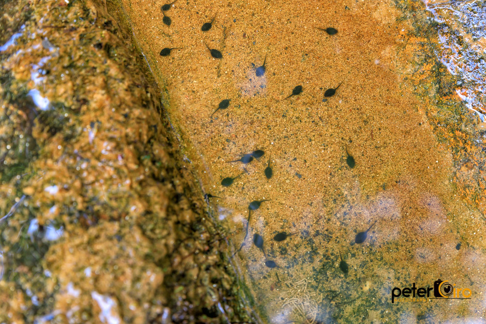
Tadpoles in a Puddle at the Campbell Covered Bridge in Landrum, SC
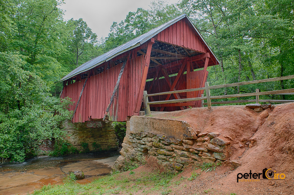
Campbell Covered Bridge in the rain in Landrum, SC
Lake Cunningham 2
Pearson's Falls
View from my window.
Main Inn View

Day 1235 - The View

sunset sundial

View of the drained Swimming Lake from the Boating Lake dam.
Pearson's Falls-through the Trees
RHI Snow Day

Lavender Nights at Lyman Lake
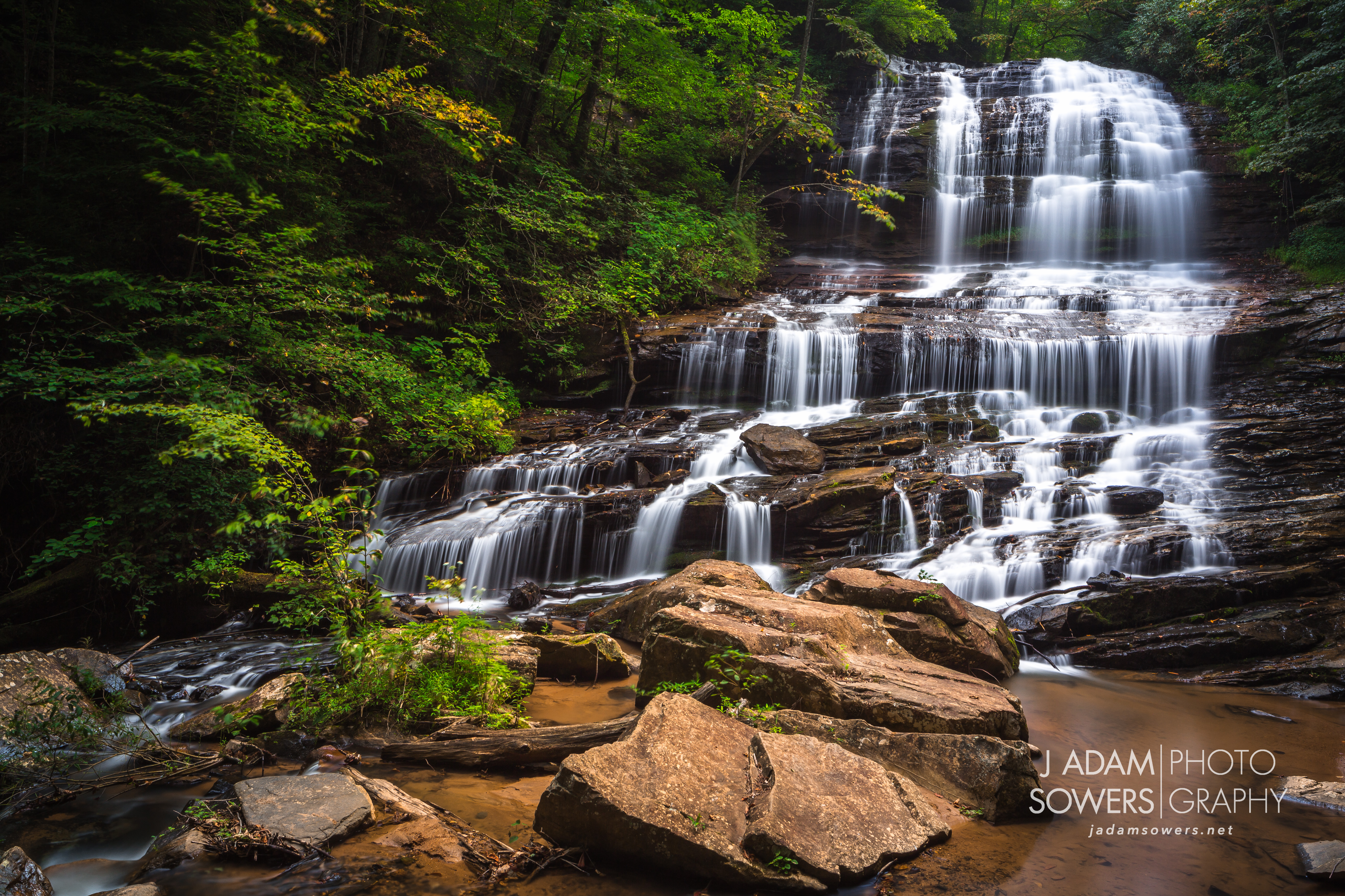
Pearson's Falls
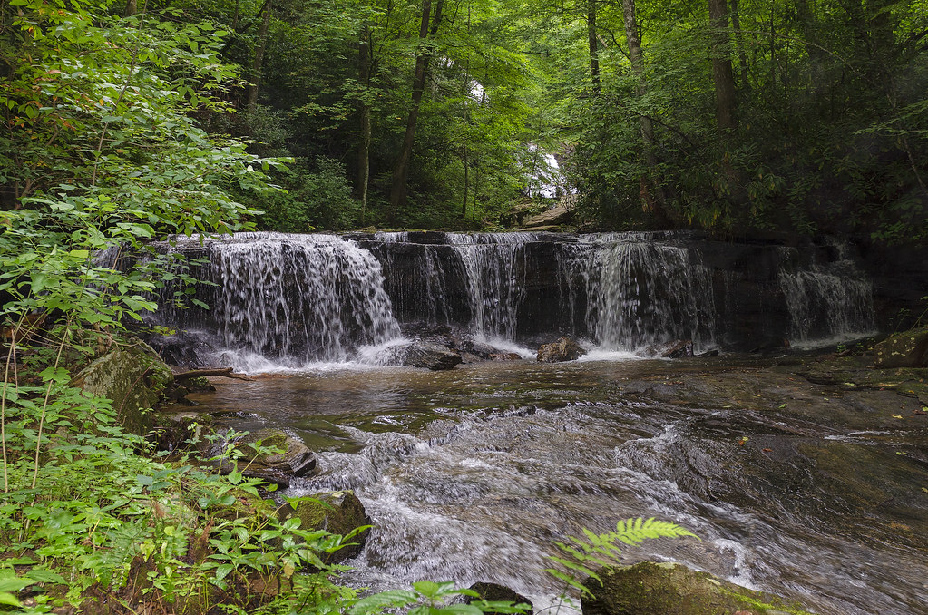
Poinsett Cascade

Poinsett Flow

Early morning at DuPont Forest
2012-09-18 14.31.12

2012-09-18 14.32.51

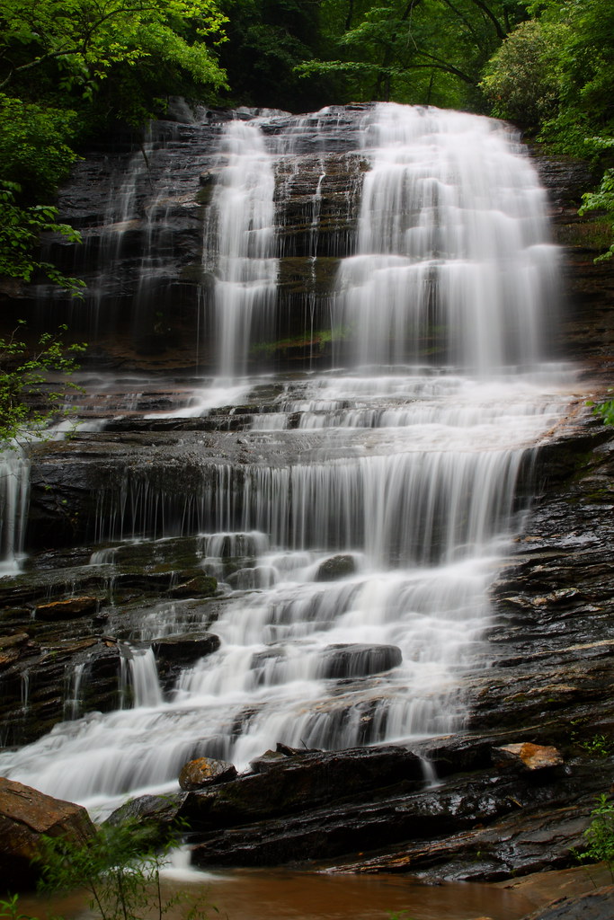
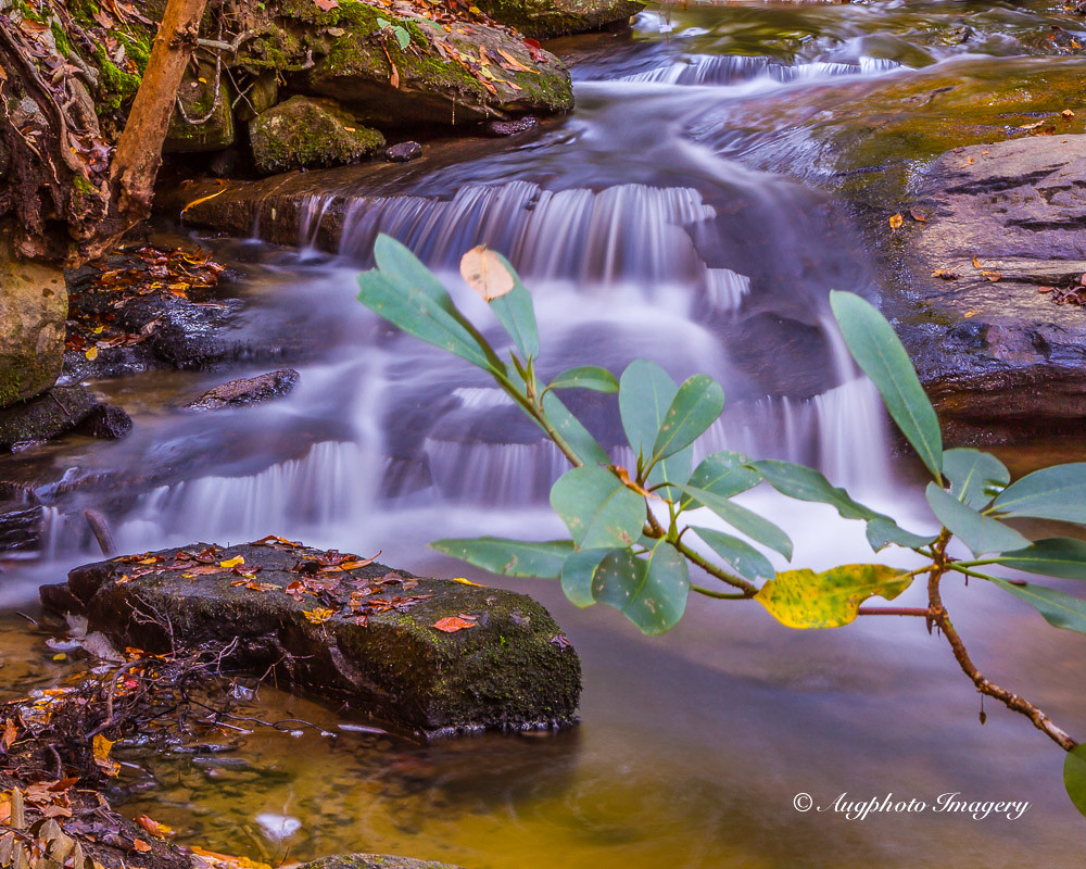
Small Waterfall at Pearson's Falls
Gentle Falls on the North Pacolet River
2012-09-18 14.35.32
Gentle North Pacolet

Bradley Falls creek

Water Dancing on the Rocks

Trip'n Clouds
North Pacolet River II
Pearson's Falls, N.C.

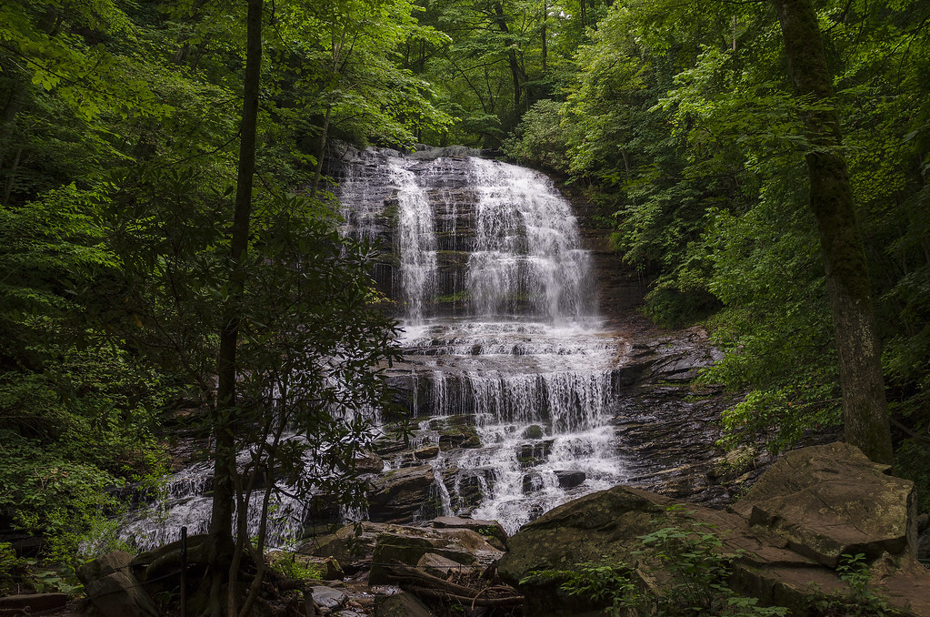
Pearsons Falls
Peaceful Trail
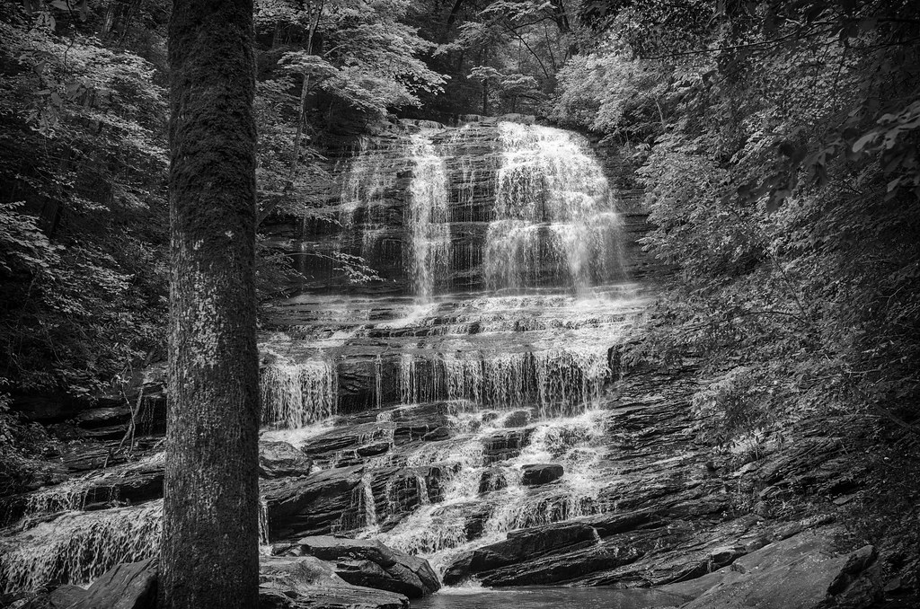
Pearson Falls - BW
Falls Along the Pacolet
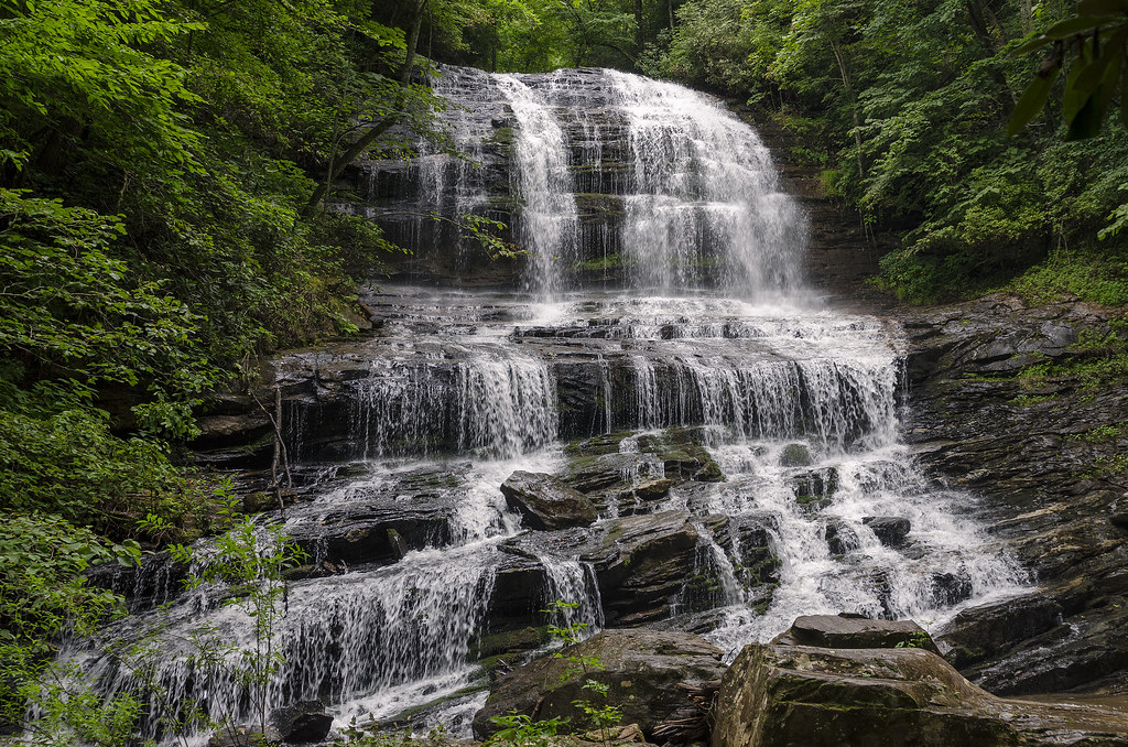
Pearson Falls
Topographic Map of Dill Rd, Landrum, SC, USA
Find elevation by address:

Places near Dill Rd, Landrum, SC, USA:
338 N Glassy Mountain Rd
600 N Glassy Mountain Rd
Chestnut Ridge Heritage Preserve Trail
100 Ridge Pass Way
Ridge Rd Ext, Greer, SC, USA
100 Outlook Ledge
19 Round Top Ln
19 Round Top Ln
19 Round Top Ln
85 Eagle Rock Rd
109 Raptor Way
170 Raptor Way
10 Plumley Summit Rd
72 Eagle Rock Rd
150 Packs Mountain Ridge Rd
137 Packs Mountain Ridge Rd
The Cliffs At Glassy Wellness Center
11 Vireo Dr
Highland
5 R-pd-18
Recent Searches:
- Elevation of Leguwa, Nepal
- Elevation of County Rd, Enterprise, AL, USA
- Elevation of Kolchuginsky District, Vladimir Oblast, Russia
- Elevation of Shustino, Vladimir Oblast, Russia
- Elevation of Lampiasi St, Sarasota, FL, USA
- Elevation of Elwyn Dr, Roanoke Rapids, NC, USA
- Elevation of Congressional Dr, Stevensville, MD, USA
- Elevation of Bellview Rd, McLean, VA, USA
- Elevation of Stage Island Rd, Chatham, MA, USA
- Elevation of Shibuya Scramble Crossing, 21 Udagawacho, Shibuya City, Tokyo -, Japan