Elevation of Raptor Way, Landrum, SC, USA
Location: United States > South Carolina > Spartanburg County > Landrum >
Longitude: -82.309200
Latitude: 35.1350686
Elevation: 540m / 1772feet
Barometric Pressure: 95KPa
Elevation Map:
Satellite Map:
Related Photos:
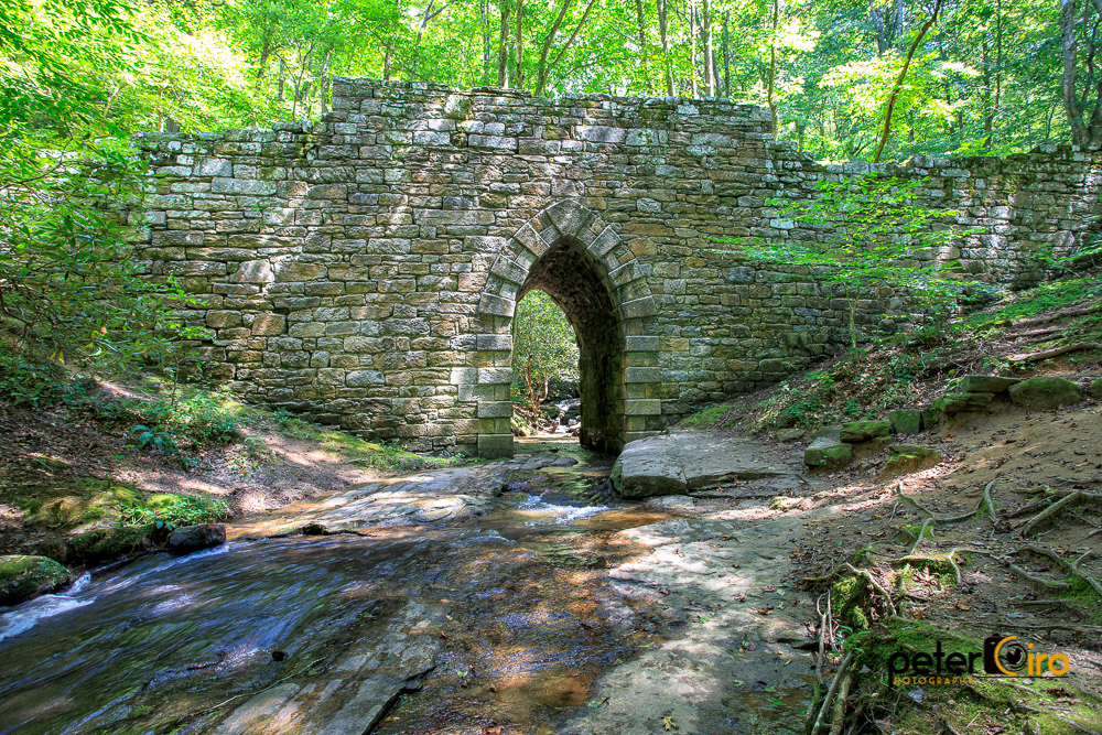
Poinsett Bridge near Highland, SC

View of the drained Swimming Lake from the Boating Lake dam.

The Hayloft Cottage

Tree with Mushrooms in Landrum, SC
Springhouse Cottage
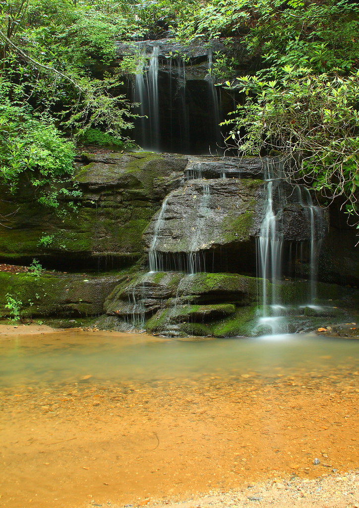
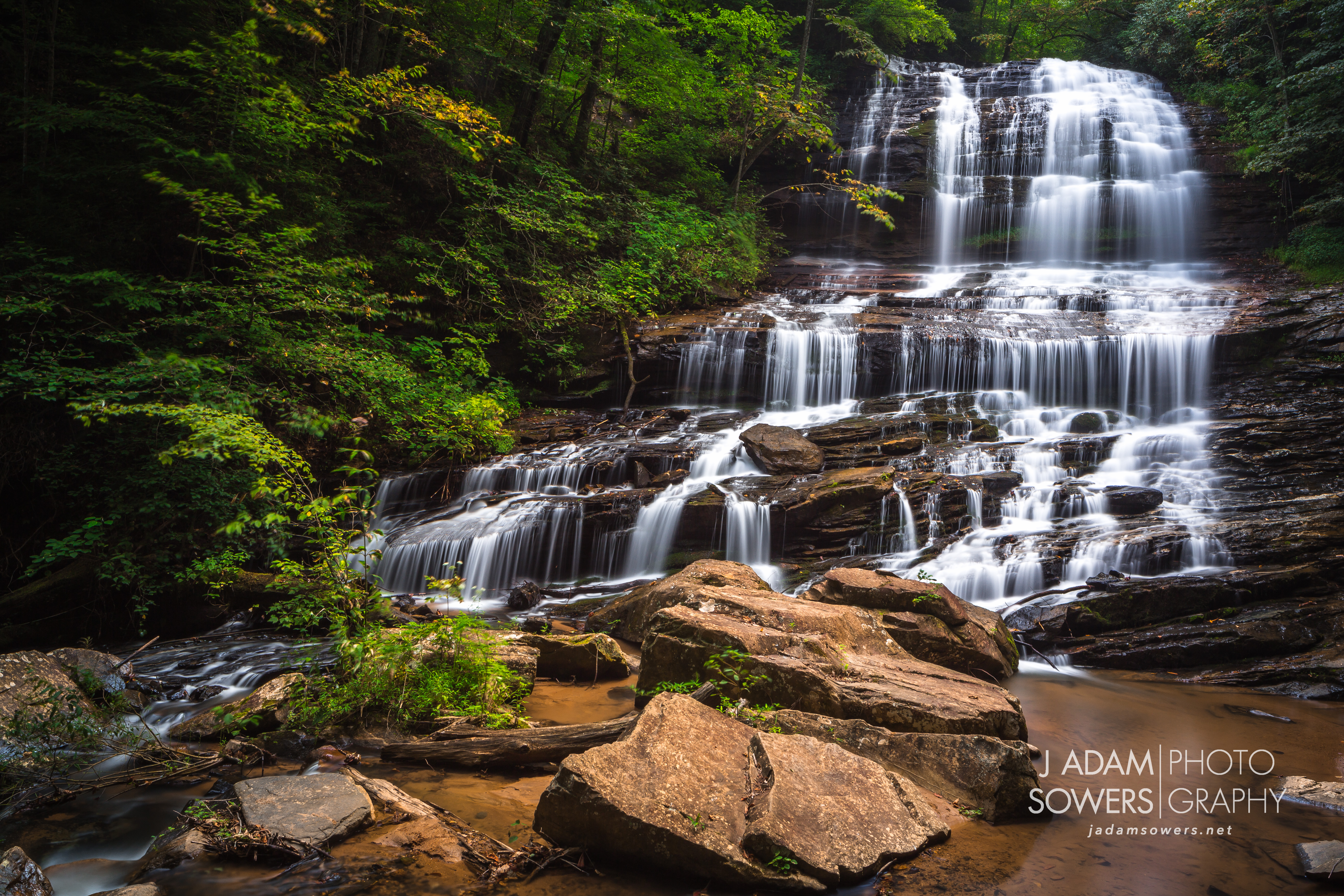
Bradley Falls Side View

High Bridge (Side View)
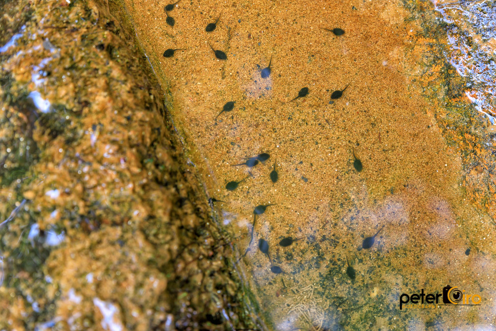
Tadpoles in a Puddle at the Campbell Covered Bridge in Landrum, SC

PEARSON'S FALLS BLUE RIDGE MOUNTAINS ~ N.C.

Pearson Lower New Trail - Read Description
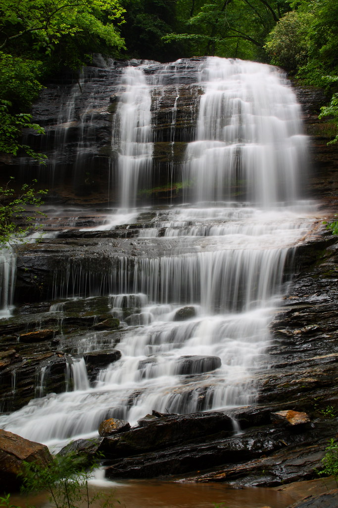
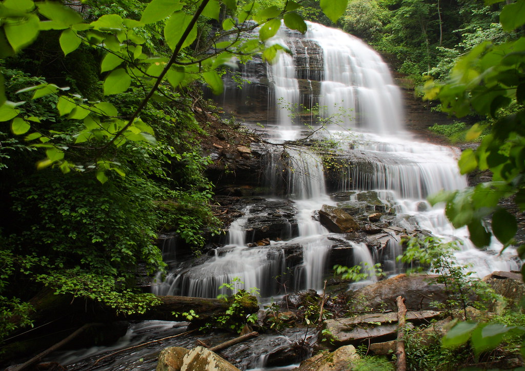
Pearson's Falls
View from my window.
Main Inn View

sunset sundial
Pearson's Falls-through the Trees
RHI Snow Day
The Grainary Cottage

Once-staff members Dean Mayer and Mark Bailey view the remnants of The Boathouse, the waterfront-staff cabin where they once spent their summers on staff..
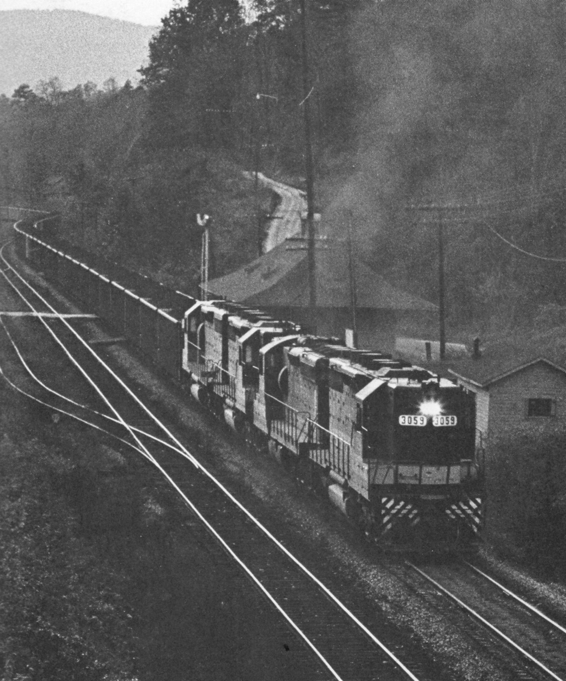
Belmont Coal Train Passing Saluda Depot, 1967
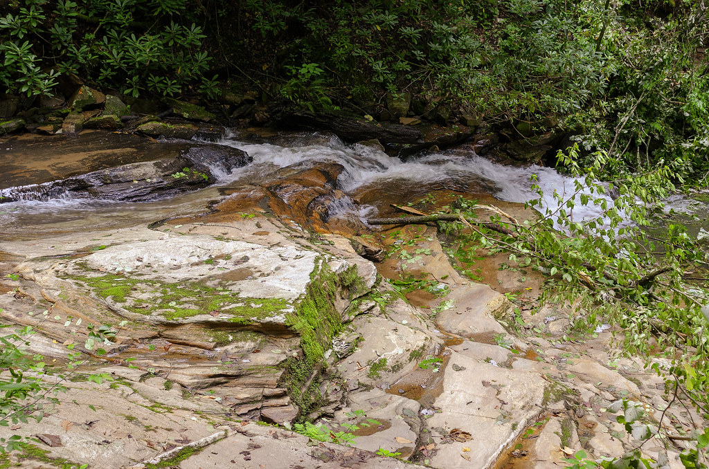
Just a Trickle
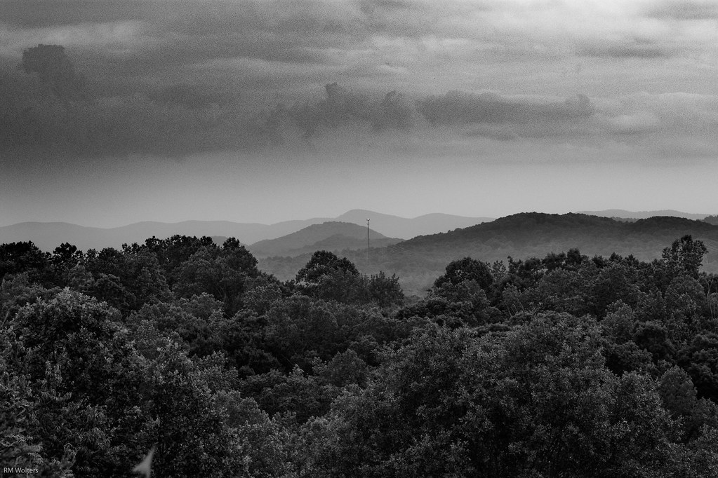
Black and White Mountains
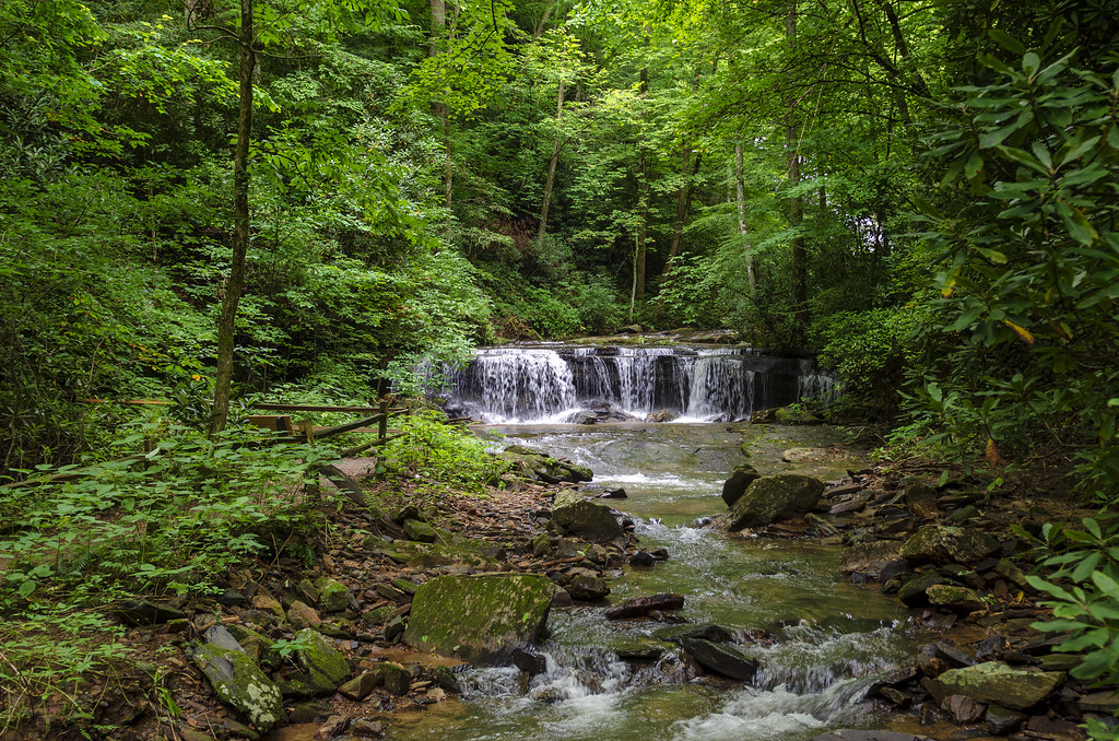
Poinsett Cascade
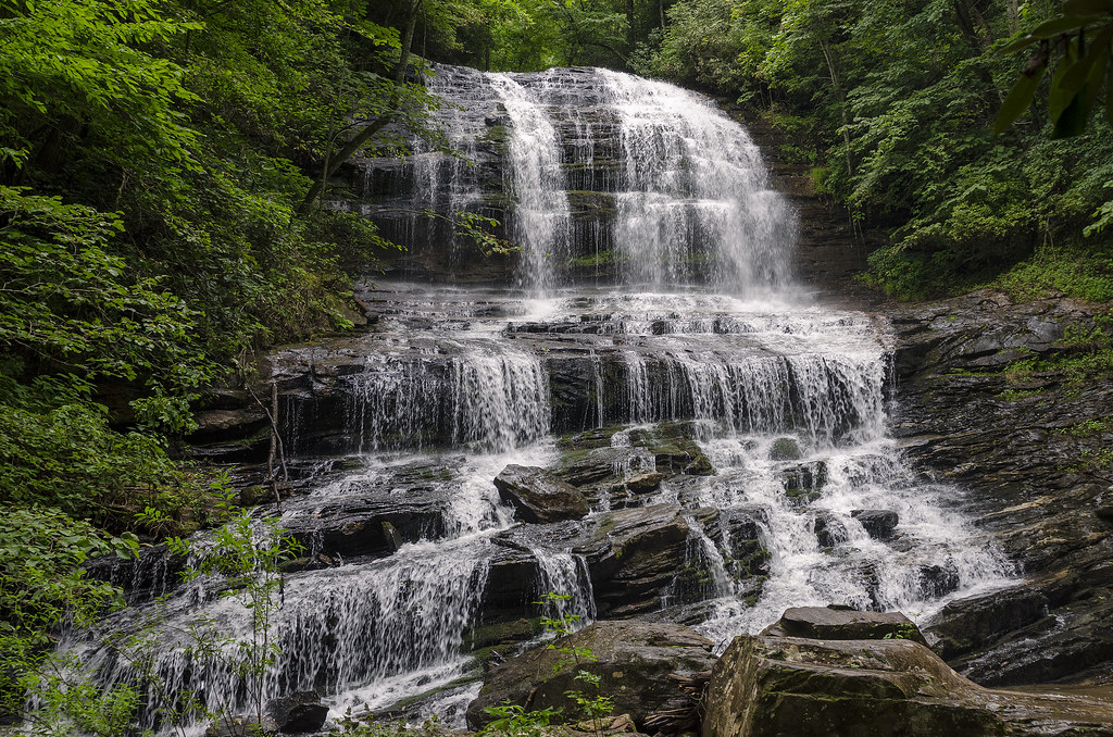
Pearson's Falls
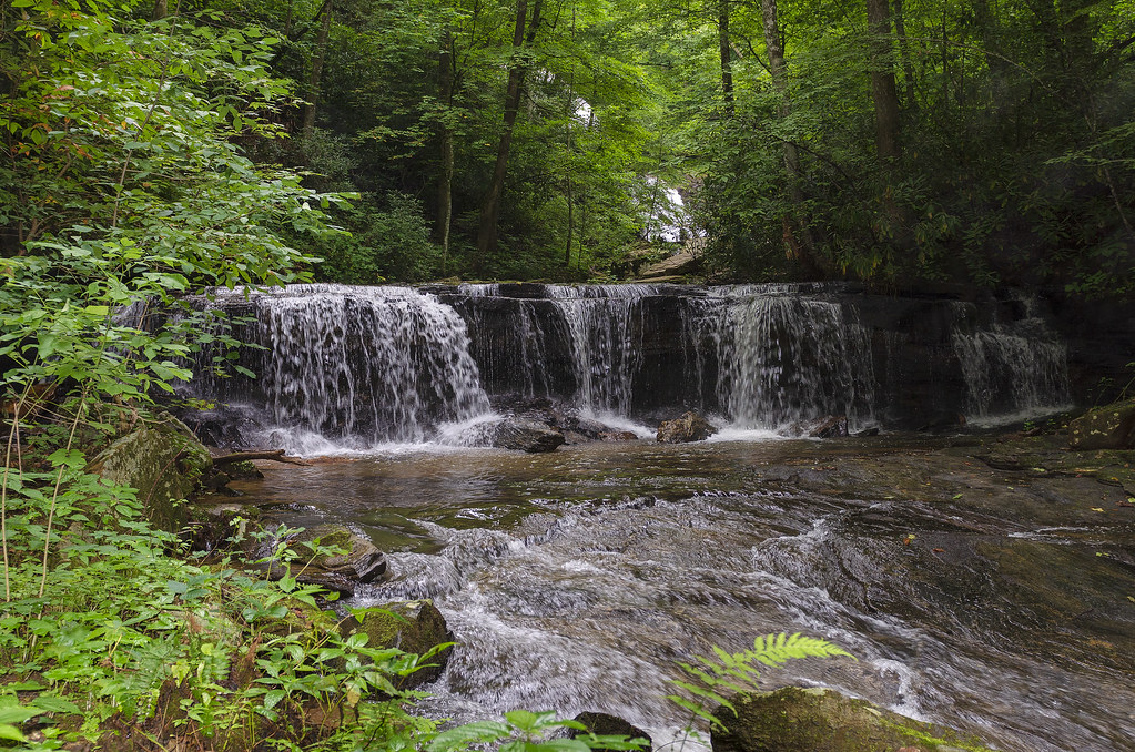
Gentle Falls on the North Pacolet River
Gentle North Pacolet

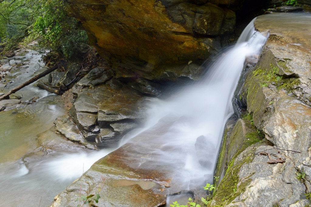
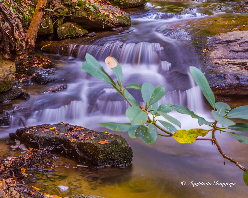
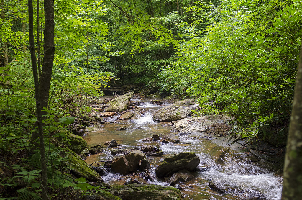
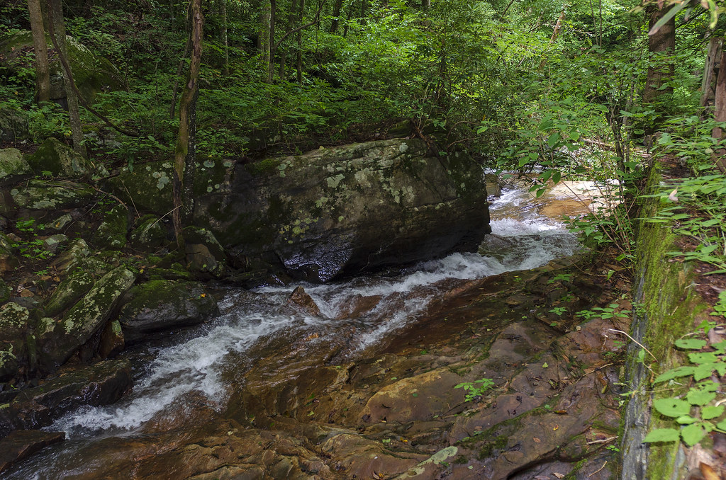
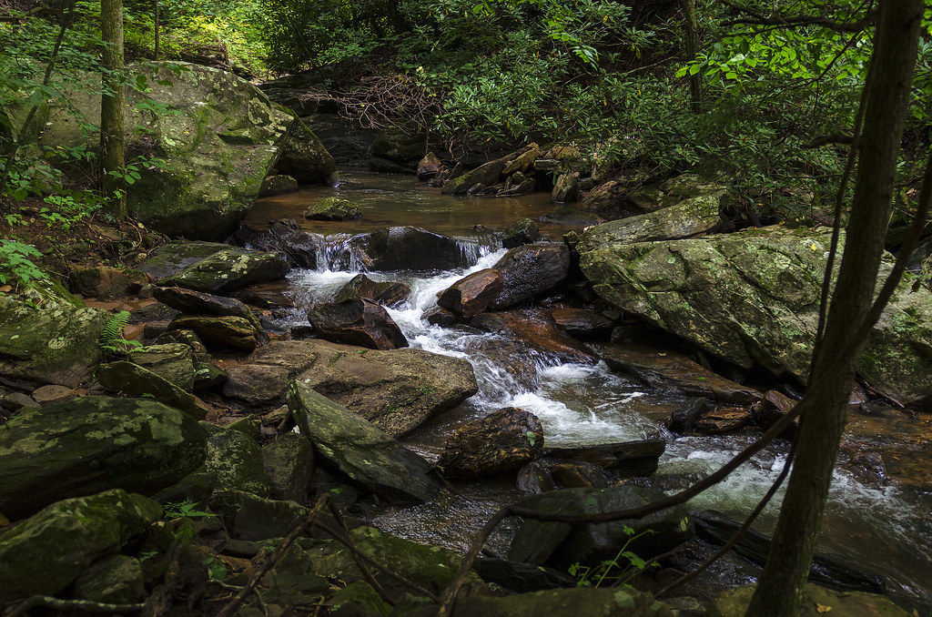
Bradley Falls creek

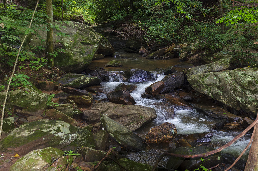
Water Dancing on the Rocks
North Pacolet River II
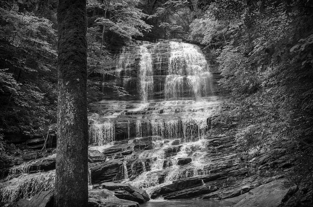
Pearson Falls - BW
Peaceful Trail
Falls Along the Pacolet
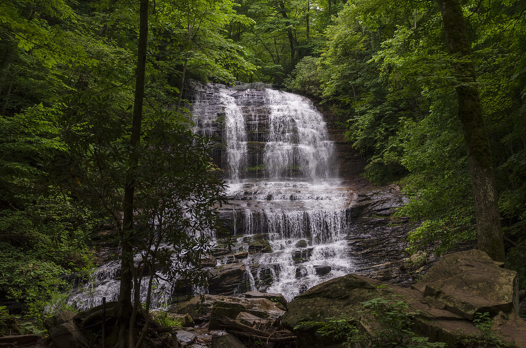
Pearson Falls
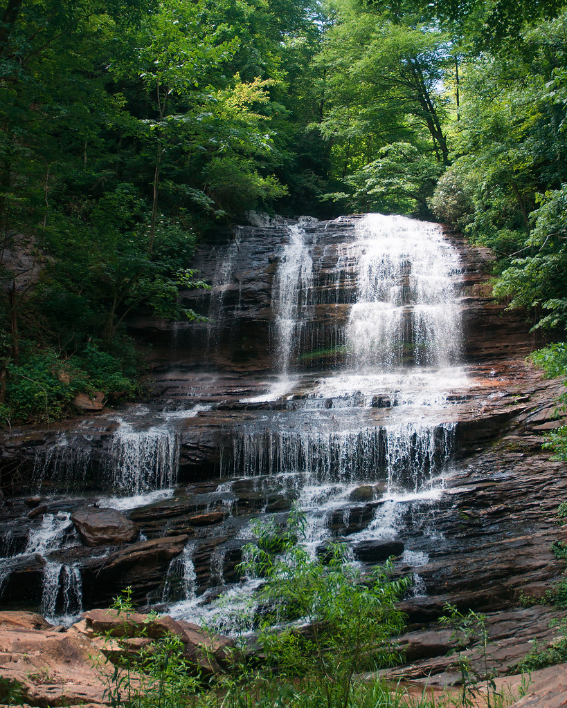
Pearson Falls
North Pacolet River III
North Pacolet River
Moss on River Rock

Pearson Falls II
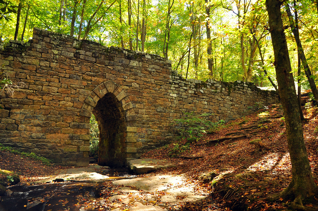
Poinsette Bridge
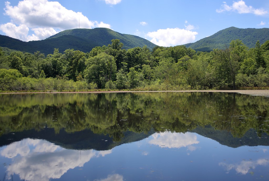
Vaughn Gap and Hogback Mountain
Topographic Map of Raptor Way, Landrum, SC, USA
Find elevation by address:

Places near Raptor Way, Landrum, SC, USA:
109 Raptor Way
11 Vireo Dr
The Cliffs At Glassy Wellness Center
5 R-pd-18
217 Limestone Trail
8 Moss Falls Ln
1 Little Boulder Dr
11 Moss Falls Ln
17 Northslope View Dr
10 Plumley Summit Rd
100 Ridge Pass Way
120 Hawk Springs Dr
72 Eagle Rock Rd
254 Foggy Cut Ln
Foggy Cut Lane
Foggy Cut Lane
85 Eagle Rock Rd
258 Foggy Cut Ln
35 Granite Knob Way
56 Raven Rd
Recent Searches:
- Elevation of 1 Zion Park Blvd, Springdale, UT, USA
- Elevation of Ganderbal
- Elevation map of Konkan Division, Maharashtra, India
- Elevation of Netaji Nagar, Hallow Pul, Kurla, Mumbai, Maharashtra, India
- Elevation of Uralsk, Kazakhstan
- Elevation of 45- Kahana Dr, Honokaa, HI, USA
- Elevation of New Mexico 30, NM-30, Española, NM, USA
- Elevation of Santmyer Way, Charles Town, WV, USA
- Elevation of Riserva Naturale Lago di Montepulciano, Italy
- Elevation of Marjorie Lane, Marjorie Ln, Whitefield, NH, USA