Elevation map of Devils Thumb, Kitimat-Stikine D, AK, Canada
Location: United States > Alaska > Petersburg >
Longitude: -132.36666
Latitude: 57.0913889
Elevation: 1761m / 5778feet
Barometric Pressure: 82KPa
Elevation Map:
Satellite Map:
Related Photos:
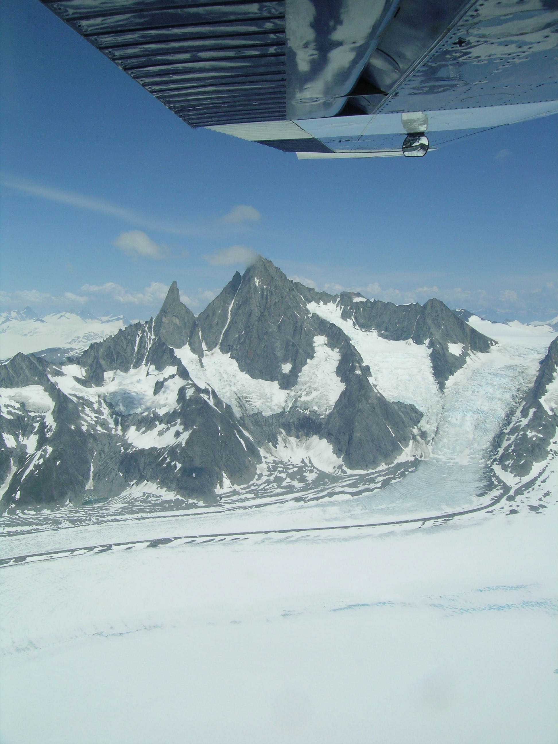
Witch's Cauldron Glacier in Southeast Alaska
Topographic Map of Devils Thumb, Kitimat-Stikine D, AK, Canada
Find elevation by address:

Places near Devils Thumb, Kitimat-Stikine D, AK, Canada:
Mount Ratz
Wrangell
City And Borough Of Wrangell
1303 Gjoa St
1201 Haugen Dr
Petersburg James A Johnson
Petersburg Borough
Petersburg
Mitkof Hwy, Petersburg, AK, USA
Port Protection
Recent Searches:
- Elevation of Corso Fratelli Cairoli, 35, Macerata MC, Italy
- Elevation of Tallevast Rd, Sarasota, FL, USA
- Elevation of 4th St E, Sonoma, CA, USA
- Elevation of Black Hollow Rd, Pennsdale, PA, USA
- Elevation of Oakland Ave, Williamsport, PA, USA
- Elevation of Pedrógão Grande, Portugal
- Elevation of Klee Dr, Martinsburg, WV, USA
- Elevation of Via Roma, Pieranica CR, Italy
- Elevation of Tavkvetili Mountain, Georgia
- Elevation of Hartfords Bluff Cir, Mt Pleasant, SC, USA