Elevation of Desolation Peak, Washington, USA
Location: United States > Washington > Rockport >
Longitude: -121.01623
Latitude: 48.9112432
Elevation: 1855m / 6086feet
Barometric Pressure: 81KPa
Elevation Map:
Satellite Map:
Related Photos:
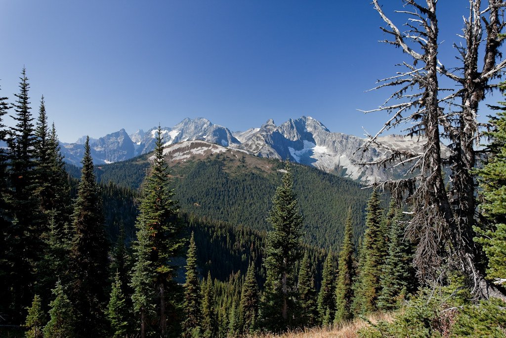
View of Cascades Moutains
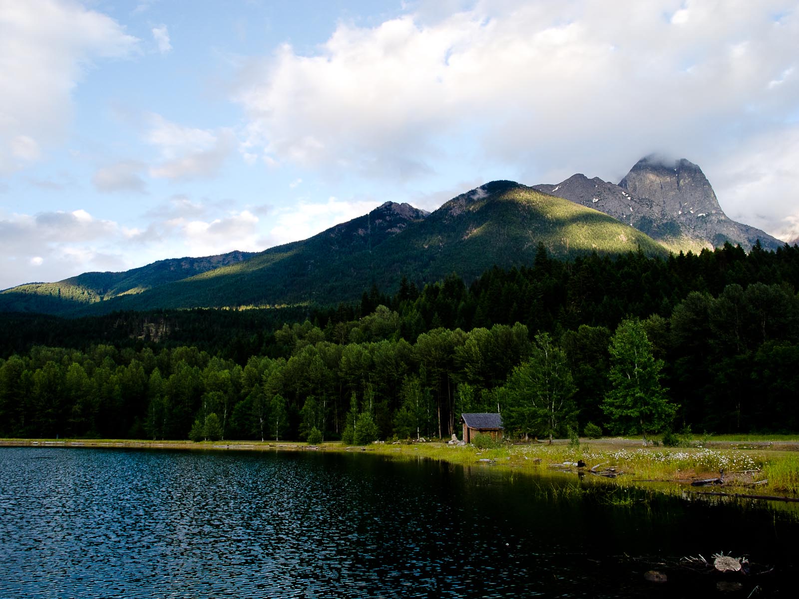
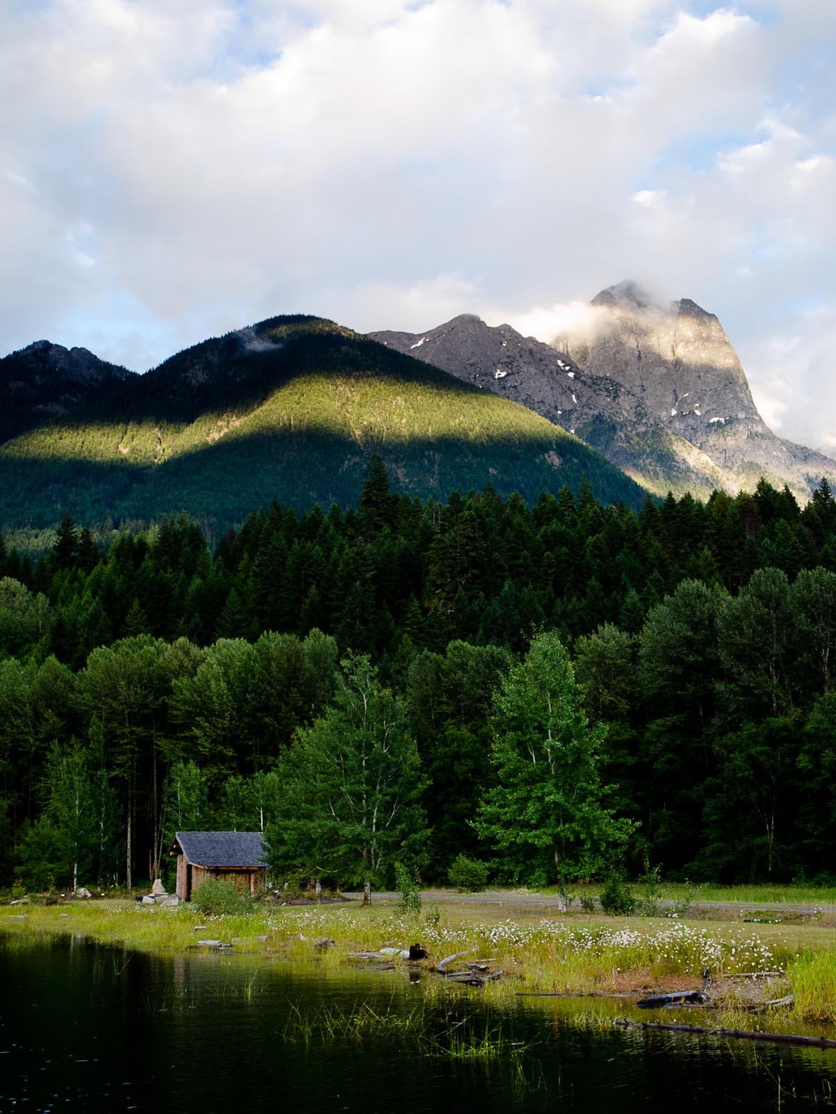
Beaver Creek campsite
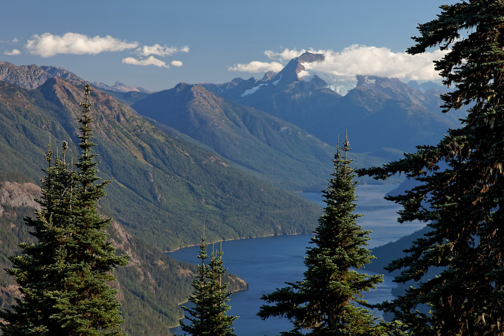
View From Ross Lake Reservoir
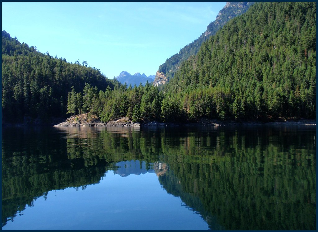
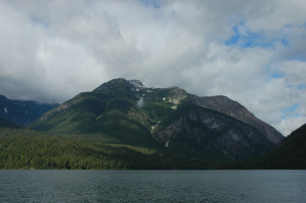
View of Ross Lake
View From Ross Lake Reservoir

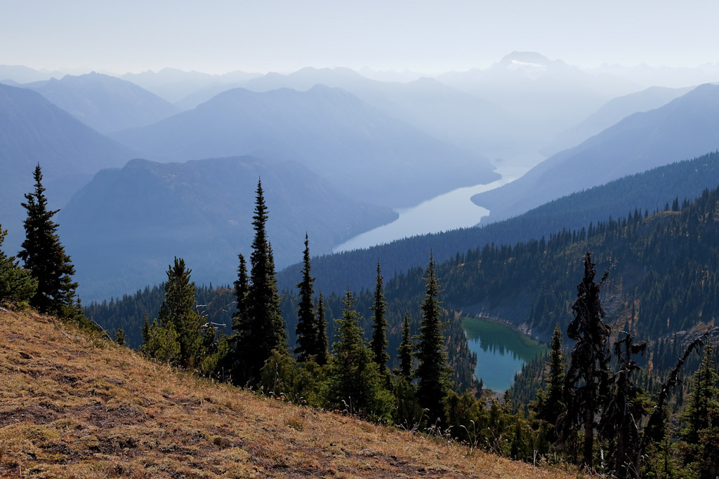
last view of ross lake and nohokameen
Trail view
View From Ross Lake Reservoir
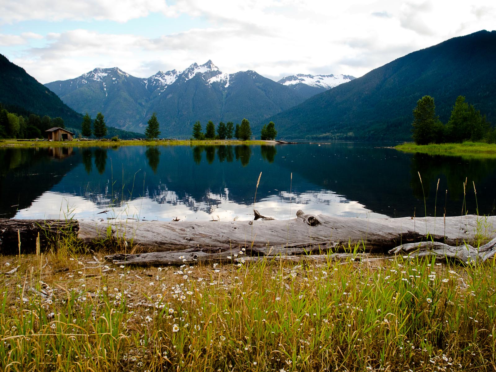
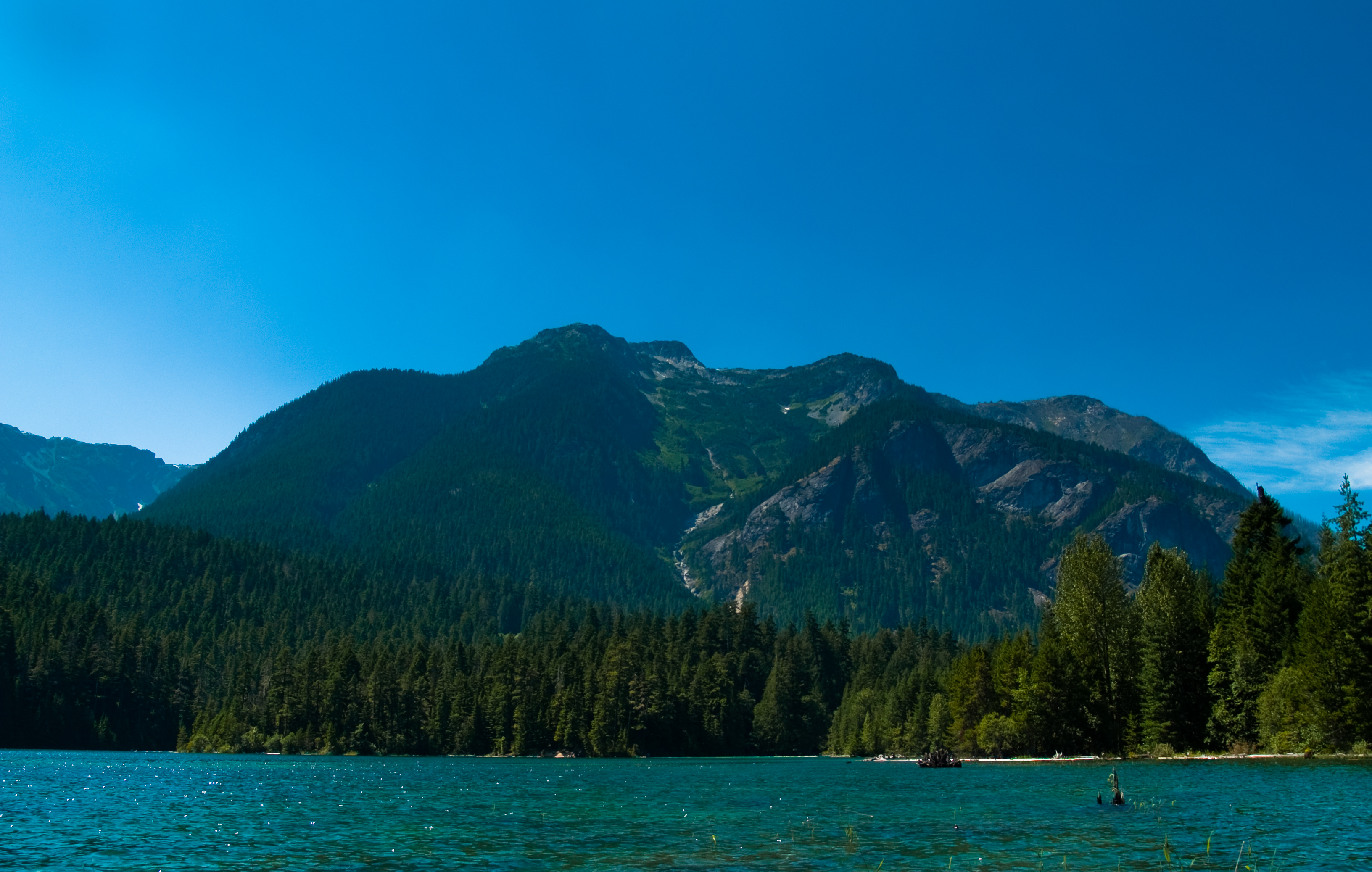
A View to a Lake
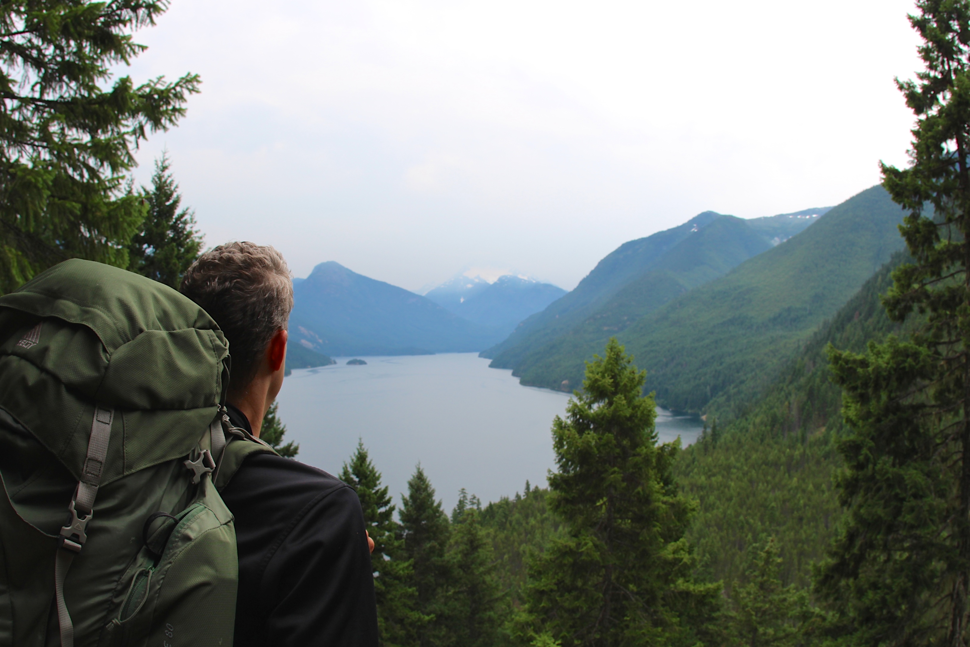
View from the Pass
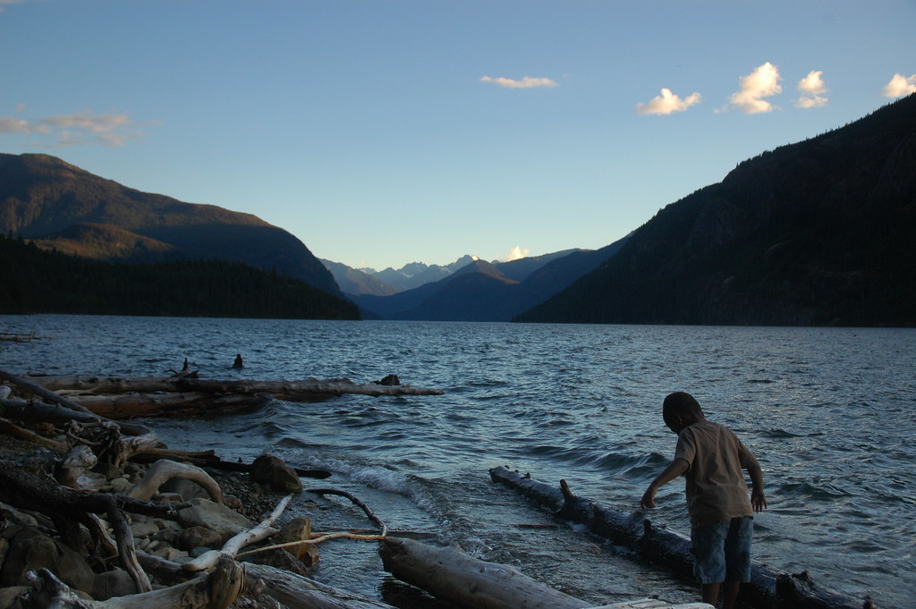
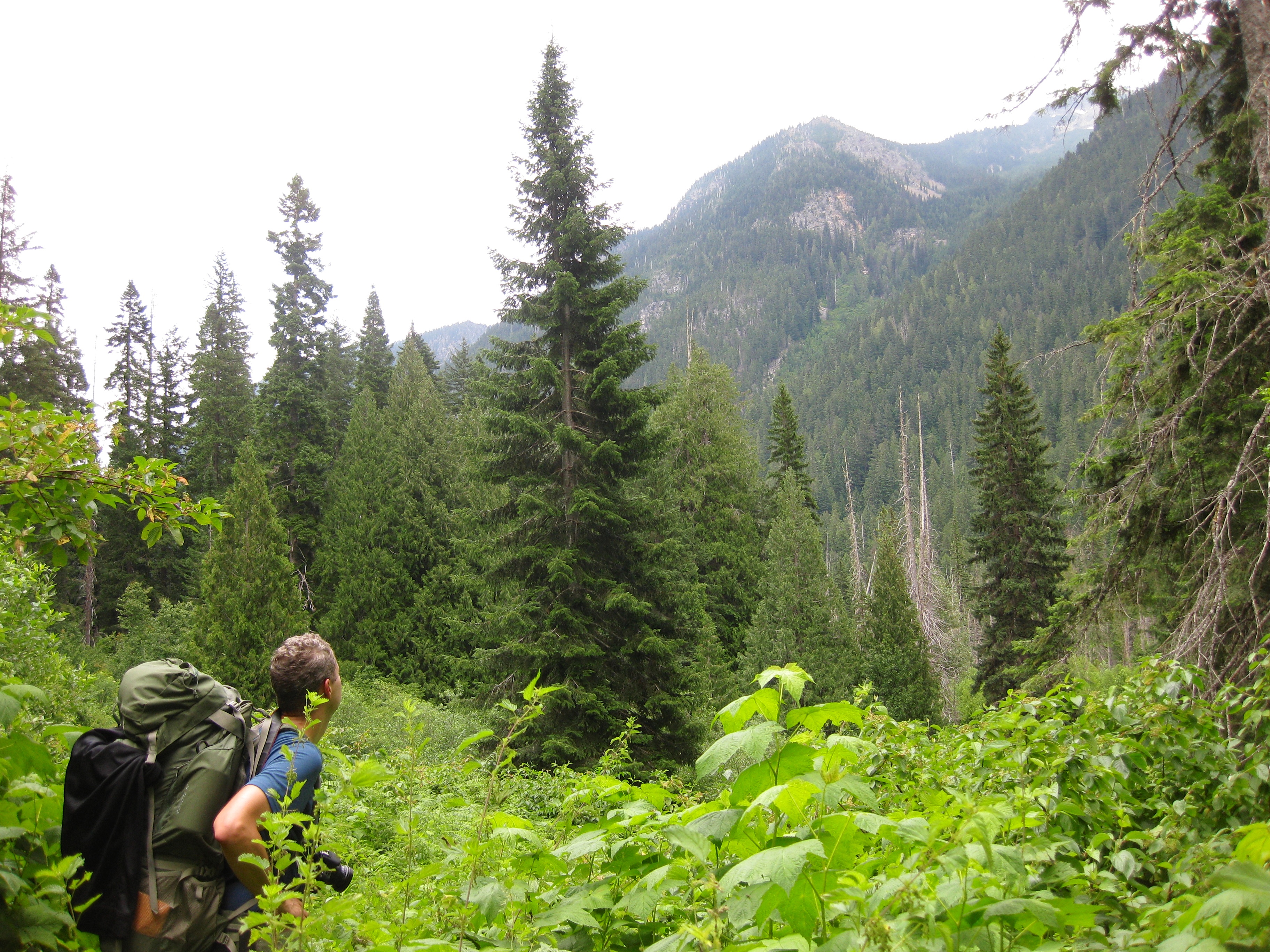
The boy and the lake
Partly Cloudy

3783 Zoomed-in view of Slate Peak (far left) from the Devils Dome Trail northeast of Devils Pass
mountain views
Topographic Map of Desolation Peak, Washington, USA
Find elevation by address:

Places near Desolation Peak, Washington, USA:
Lightning Creek Campground
Skagit Peak
Hozomeen Mountain
Spratt Mountain
Hozomeen Campground
Lone Goat Mountain
Snow Camp Mountain
Red Mountain
Jack Mountain
Nepopekum Mountain
Mount Prophet
Wright Peak
Silver Ridge West
Shawatum Mountain
Luna Campground
Ross Lake National Recreation Area
Ruby Mountain
Diablo Lake
Mount Andrews
Mount Spickard
Recent Searches:
- Elevation of Corso Fratelli Cairoli, 35, Macerata MC, Italy
- Elevation of Tallevast Rd, Sarasota, FL, USA
- Elevation of 4th St E, Sonoma, CA, USA
- Elevation of Black Hollow Rd, Pennsdale, PA, USA
- Elevation of Oakland Ave, Williamsport, PA, USA
- Elevation of Pedrógão Grande, Portugal
- Elevation of Klee Dr, Martinsburg, WV, USA
- Elevation of Via Roma, Pieranica CR, Italy
- Elevation of Tavkvetili Mountain, Georgia
- Elevation of Hartfords Bluff Cir, Mt Pleasant, SC, USA