Elevation of Denson Reed Rd, Cleveland, TX, USA
Location: United States > Texas > Liberty County > Cleveland >
Longitude: -95.198611
Latitude: 30.5346812
Elevation: 79m / 259feet
Barometric Pressure: 100KPa
Elevation Map:
Satellite Map:
Related Photos:
Sunrise at the Campsite

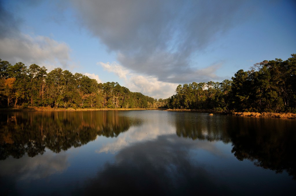
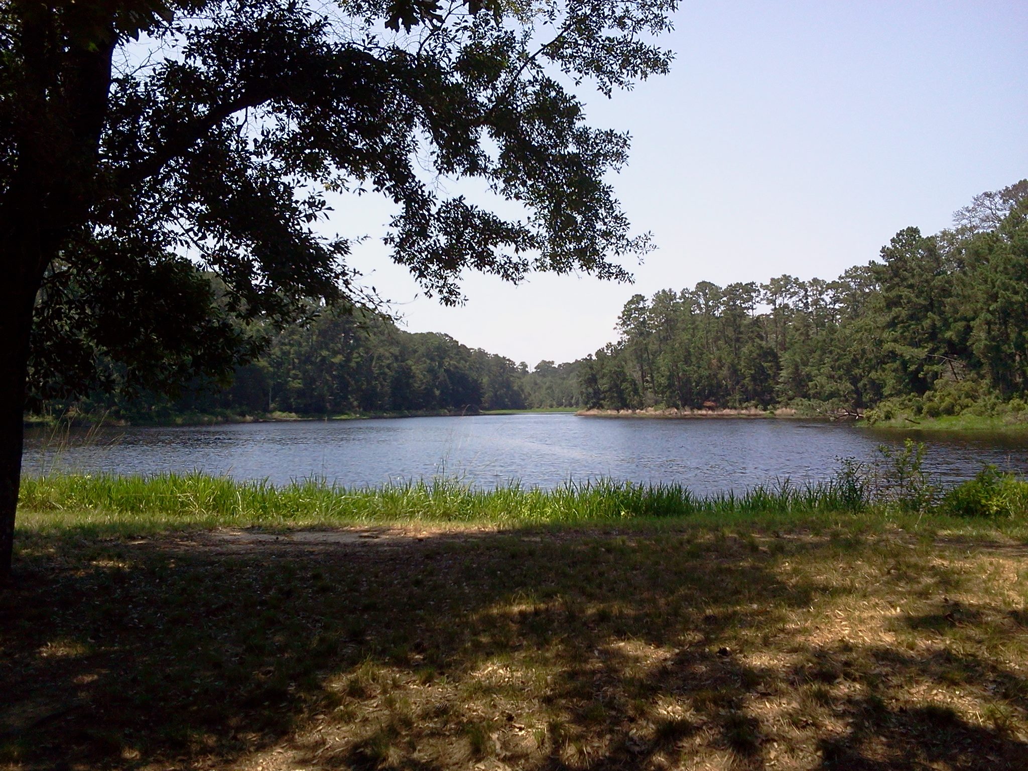
Double Lake
Coldspring TX 12-1-12 10400
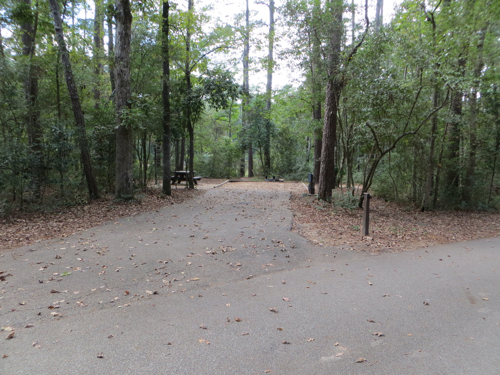
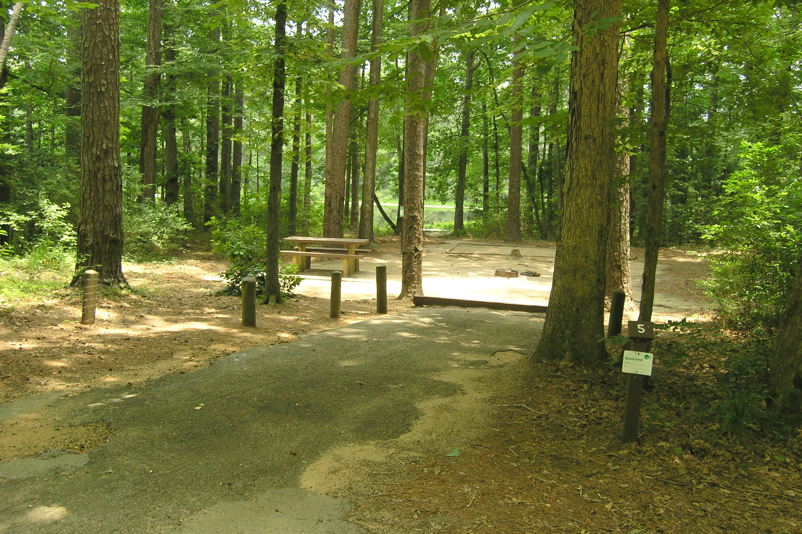
Double Lake Example Water and Electric Site
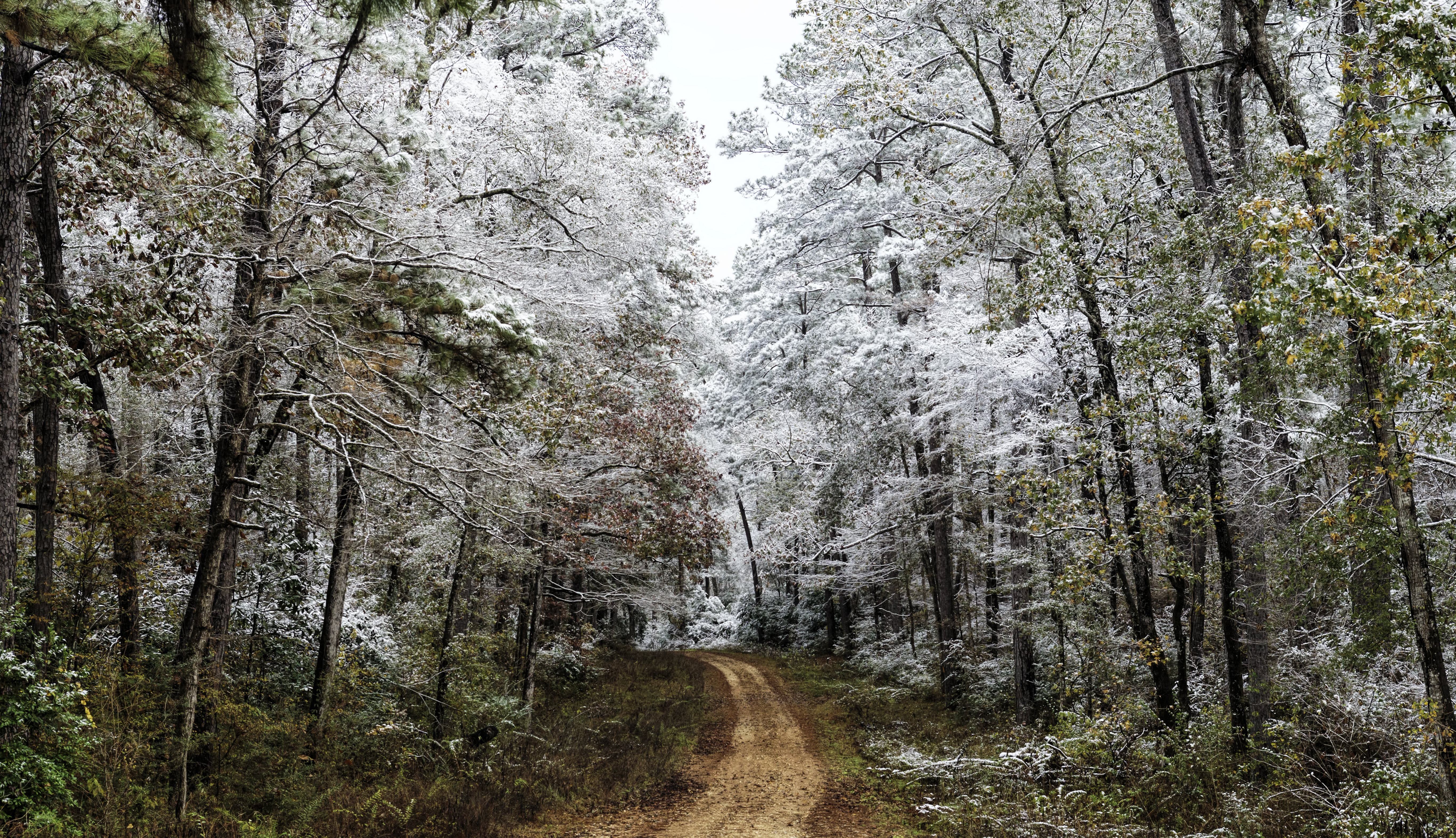
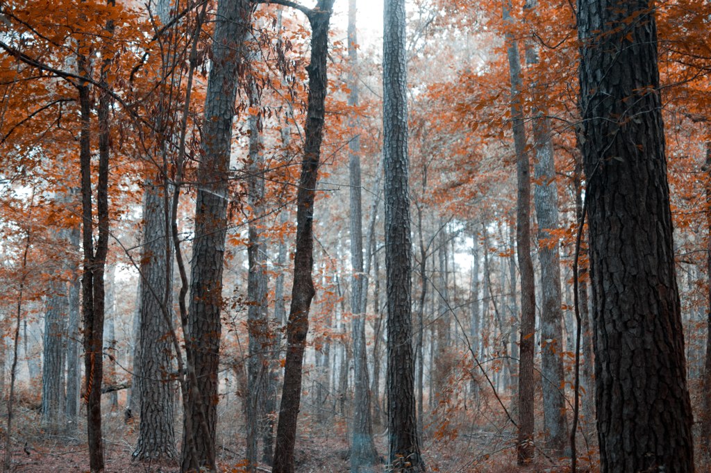
Frozen Color

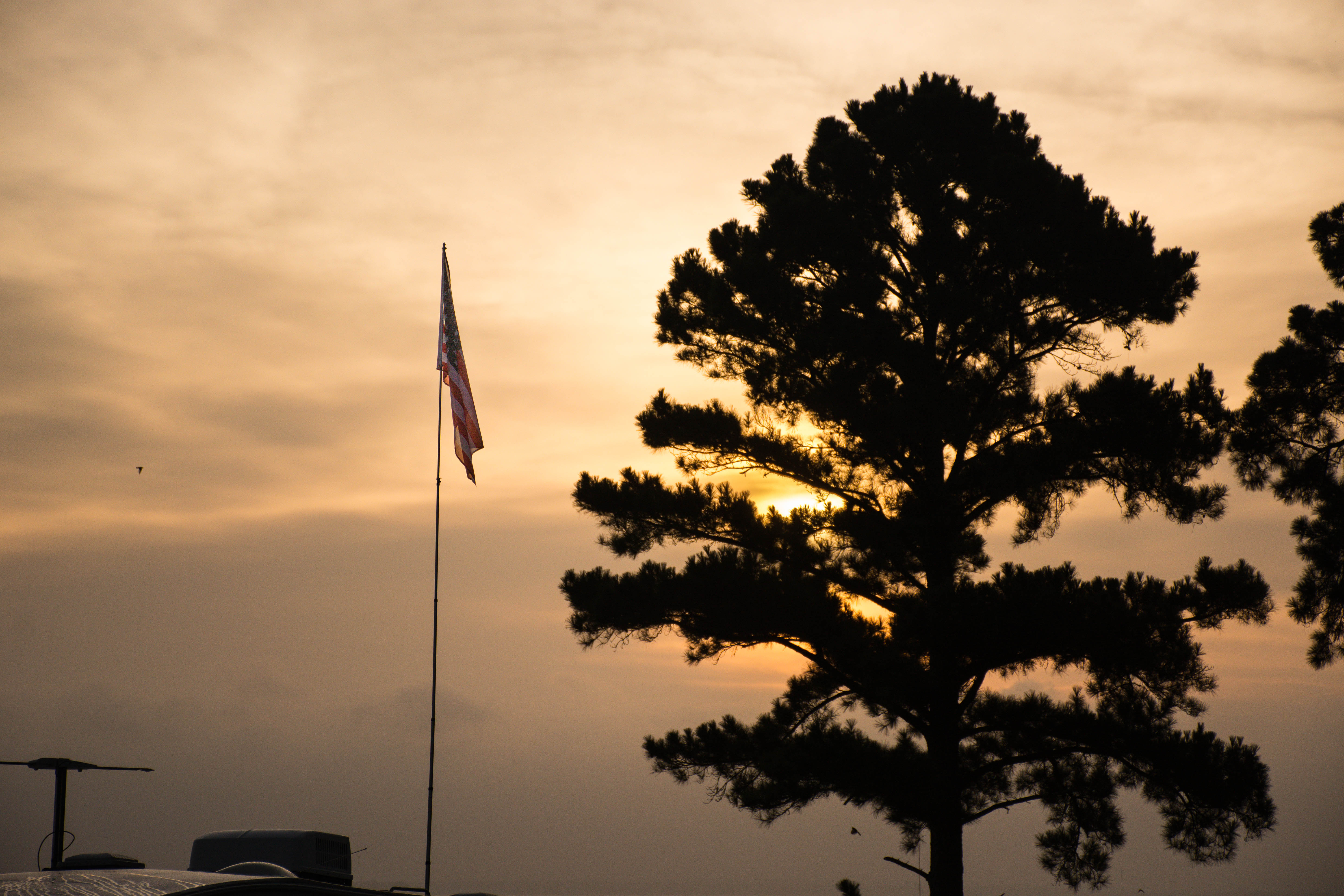
Peaceful Sunrise
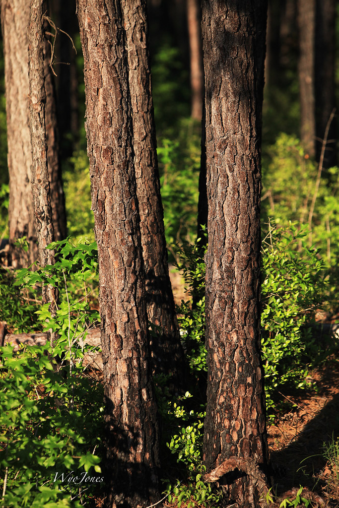
Can't See the Forest For the Trees

Little Thicket Nature Sanctuary forest
Coldspring TX 12-1-12 10513
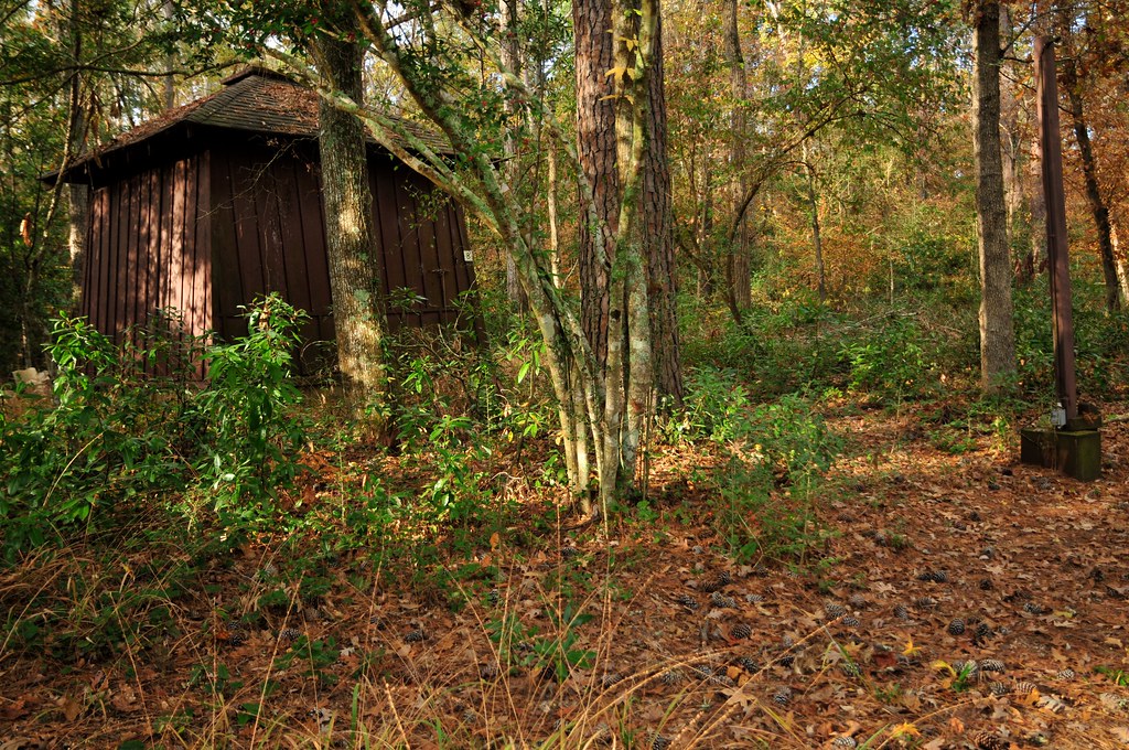
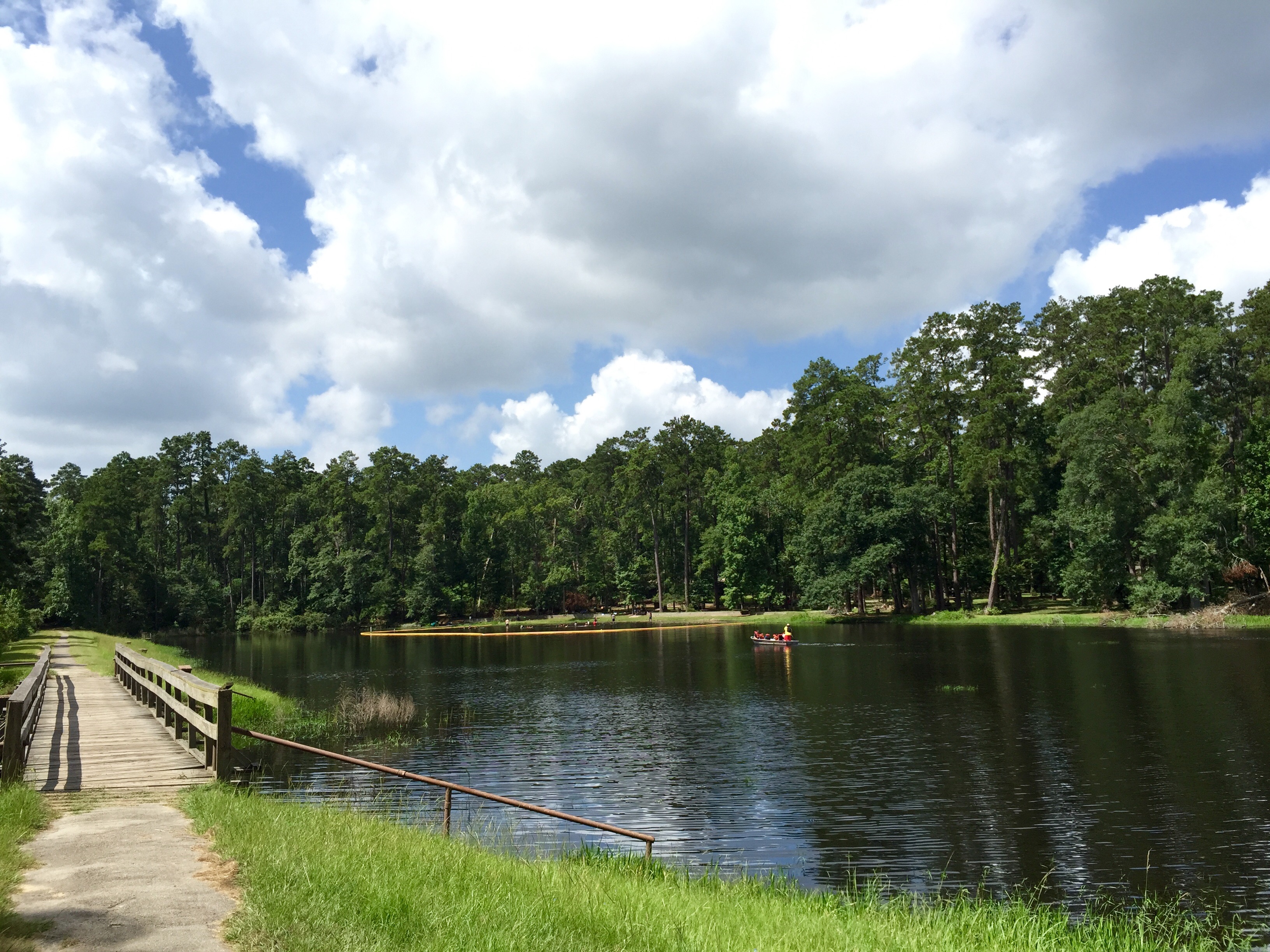
Double Lake Campground, Texas
20100925-sam_houston14

Little Thicket Nature Sanctuary forest
Double Lake

Little Thicket Nature Sanctuary forest
Double Lake
Double Lake
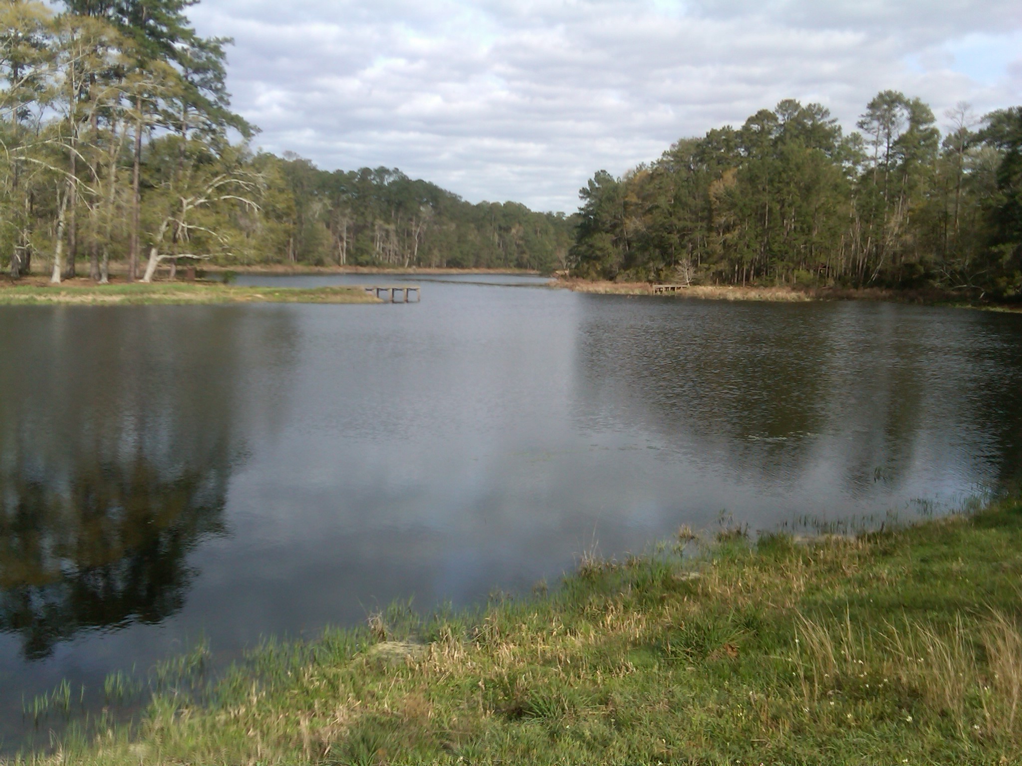
Double Lake with actual water in it.
Topographic Map of Denson Reed Rd, Cleveland, TX, USA
Find elevation by address:

Places near Denson Reed Rd, Cleveland, TX, USA:
280 Denson Reed Rd
165 Evergreen Heights Rd
500 Mcadams Vann Rd
TX-, Coldspring, TX, USA
San Jacinto County
7391 Fm1725
J J Lane
Coldspring
Coldspring
Coldspring
West Double Creek
Fm Loop N, Coldspring, TX, USA
10 Carl Burns Rd
1021 Lakeview Estates Dr
690 Ellisor Rd
2001 Brown Rd
Sam Houston National Forest
Waverly
60 Sherry Ln
50 FM Rd, Coldspring, TX, USA
Recent Searches:
- Elevation of Elwyn Dr, Roanoke Rapids, NC, USA
- Elevation of Congressional Dr, Stevensville, MD, USA
- Elevation of Bellview Rd, McLean, VA, USA
- Elevation of Stage Island Rd, Chatham, MA, USA
- Elevation of Shibuya Scramble Crossing, 21 Udagawacho, Shibuya City, Tokyo -, Japan
- Elevation of Jadagoniai, Kaunas District Municipality, Lithuania
- Elevation of Pagonija rock, Kranto 7-oji g. 8"N, Kaunas, Lithuania
- Elevation of Co Rd 87, Jamestown, CO, USA
- Elevation of Tenjo, Cundinamarca, Colombia
- Elevation of Côte-des-Neiges, Montreal, QC H4A 3J6, Canada