Elevation of Denmar Lane, Denmar Ln, Long Lane, MO, USA
Location: United States > Missouri > Dallas County > Washington Township >
Longitude: -92.987544
Latitude: 37.529288
Elevation: 358m / 1175feet
Barometric Pressure: 97KPa
Elevation Map:
Satellite Map:
Related Photos:

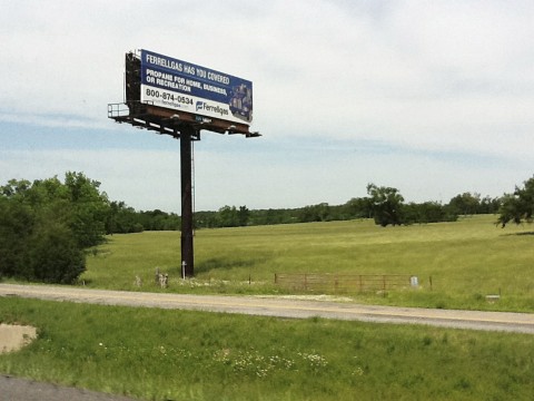
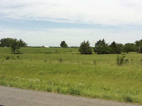
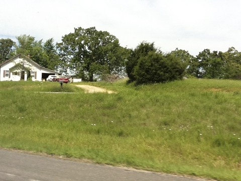
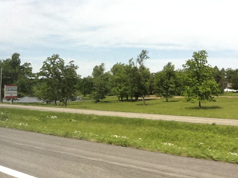
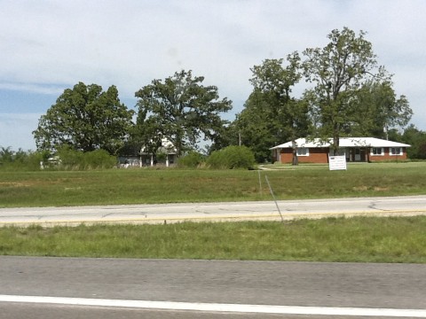
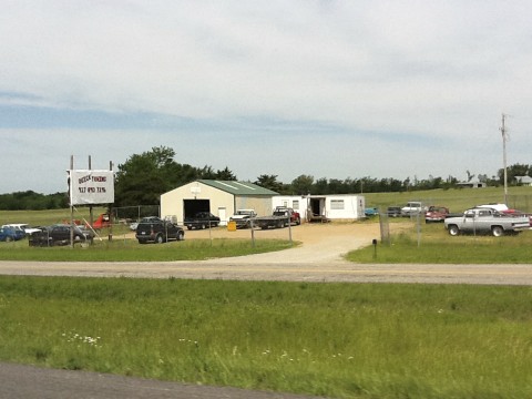
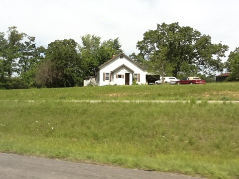
10-06-07 Day 10 - Route 66

Devils elbow
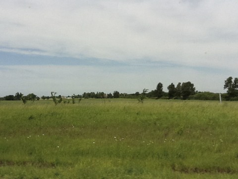
Route 66
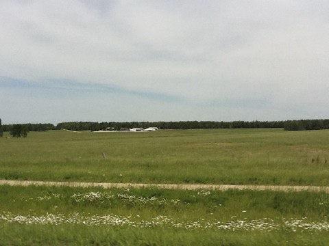
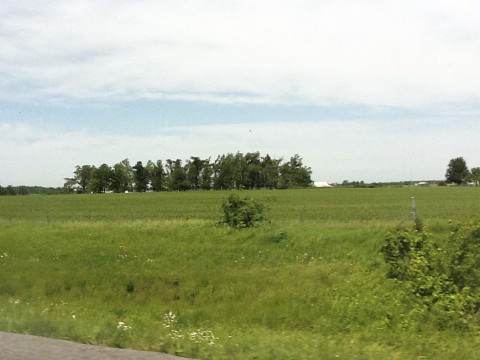
Route 66
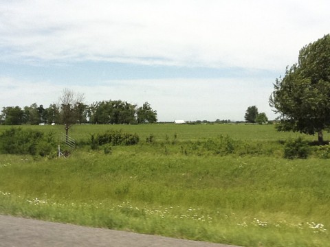
Route 66
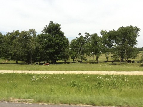
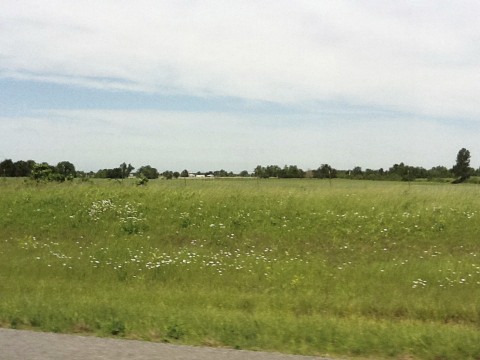
Route 66
Route 66
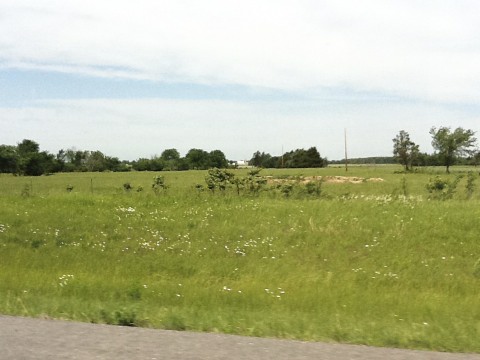
Route 66
Route 66
Route 66
Route 66
Route 66

Route 66
Route 66
Route 66
Route 66
Route 66
Route 66
Route 66
Route 66
Route 66
Topographic Map of Denmar Lane, Denmar Ln, Long Lane, MO, USA
Find elevation by address:

Places near Denmar Lane, Denmar Ln, Long Lane, MO, USA:
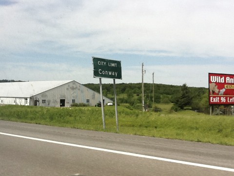
State Hwy M, Conway, MO, USA
State Hwy H, Elkland, MO, USA
Washington Township
379 State Hwy H
2348 State Hwy Ee
Jackson Township
Jackson Township
Elkland
119 State Hwy H
379 State Hwy F
Long Lane
Wilson Township
148 Hayes Rd
112 State Hwy P
South Benton Township
1436 Hickory Rd
Thunder Road Llc
17 State Hwy F
Sheridan Township
1580 Vinyard Rd
Recent Searches:
- Elevation of Royal Ontario Museum, Queens Park, Toronto, ON M5S 2C6, Canada
- Elevation of Groblershoop, South Africa
- Elevation of Power Generation Enterprises | Industrial Diesel Generators, Oak Ave, Canyon Country, CA, USA
- Elevation of Chesaw Rd, Oroville, WA, USA
- Elevation of N, Mt Pleasant, UT, USA
- Elevation of 6 Rue Jules Ferry, Beausoleil, France
- Elevation of Sattva Horizon, 4JC6+G9P, Vinayak Nagar, Kattigenahalli, Bengaluru, Karnataka, India
- Elevation of Great Brook Sports, Gold Star Hwy, Groton, CT, USA
- Elevation of 10 Mountain Laurels Dr, Nashua, NH, USA
- Elevation of 16 Gilboa Ln, Nashua, NH, USA