Elevation of State Hwy EE, Elkland, MO, USA
Location: United States > Missouri > Webster County > Jackson Township >
Longitude: -92.978485
Latitude: 37.4401864
Elevation: 367m / 1204feet
Barometric Pressure: 97KPa
Elevation Map:
Satellite Map:
Related Photos:

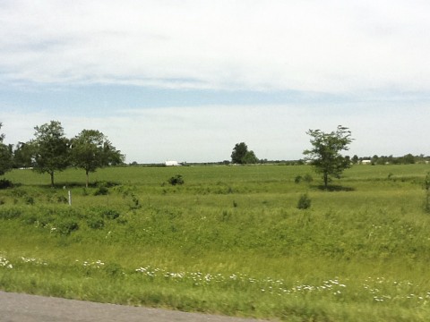
Missouri, Webster County
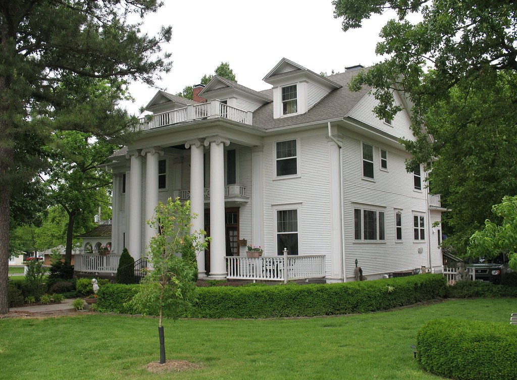
Dickey House Marshfield MO
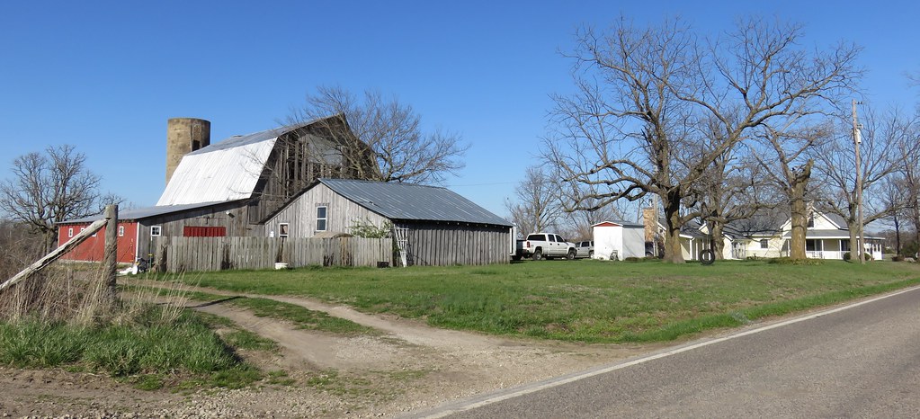
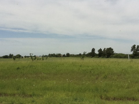
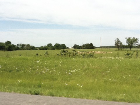
Southwestern Missouri Farm (Webster County, Missouri)

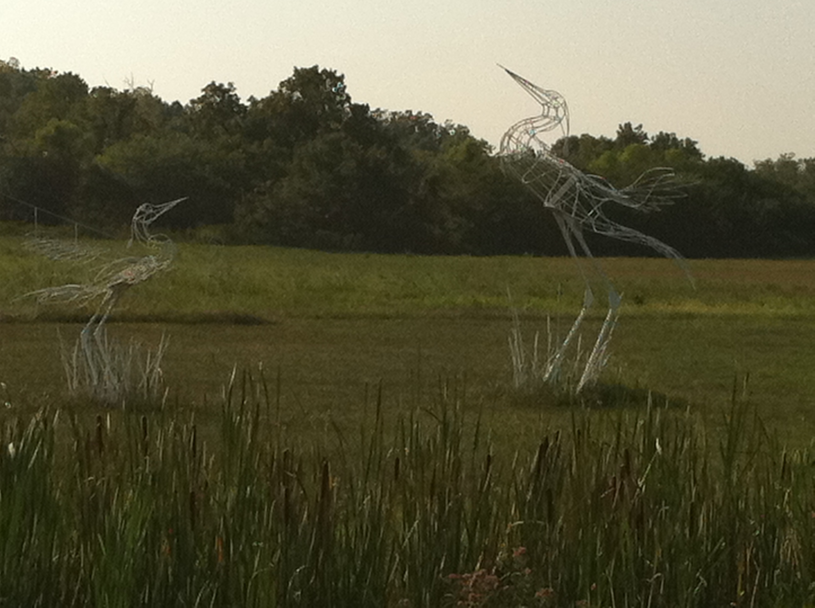
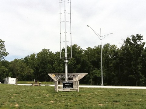
Hidden Waters Park

Hidden Waters Park

10-06-07 Day 10 - Route 66
Devils elbow

Hidden Waters Park
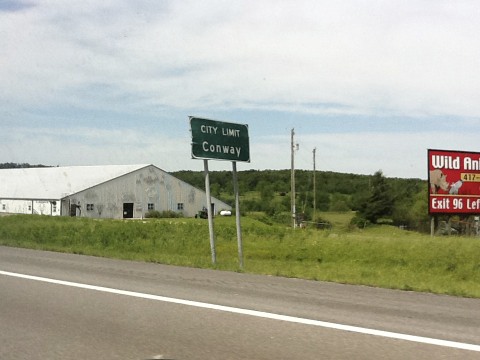
ROUTE66_0482 - NORTHVIEW MO
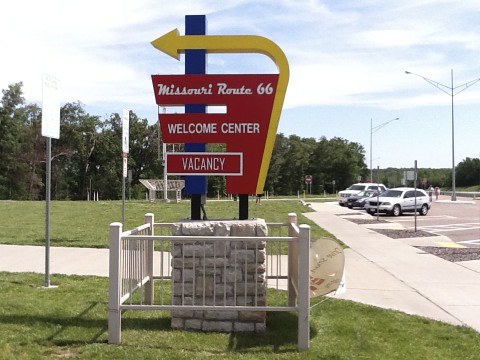
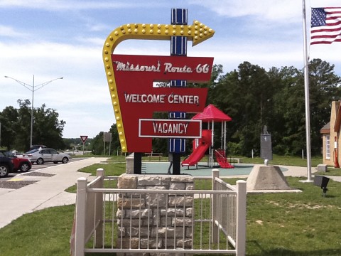
Route 66
Route 66
Route 66
Route 66
Route 66
Route 66
Route 66

Route 66
Route 66
Route 66
Route 66
Route 66
Route 66
Topographic Map of State Hwy EE, Elkland, MO, USA
Find elevation by address:

Places near State Hwy EE, Elkland, MO, USA:
1436 Hickory Rd
1580 Vinyard Rd
Thunder Road Llc
63 Ridgeview Ln
1331 Spur Dr
540 Pine Ridge St
540 Pine Ridge St
541 Julian St
Marshfield
Marshfield Township
Sportsman Court
Grant Township
Northview Road
Webster County
West Ozark Township
675 Heritage Rd
675 Heritage Rd
675 Heritage Rd
675 Heritage Rd
675 Heritage Rd
Recent Searches:
- Elevation of Ilungu, Tanzania
- Elevation of Yellow Springs Road, Yellow Springs Rd, Chester Springs, PA, USA
- Elevation of Rēzekne Municipality, Latvia
- Elevation of Plikpūrmaļi, Vērēmi Parish, Rēzekne Municipality, LV-, Latvia
- Elevation of 2 Henschke Ct, Caboolture QLD, Australia
- Elevation of Redondo Ave, Long Beach, CA, USA
- Elevation of Sadovaya Ulitsa, 20, Rezh, Sverdlovskaya oblast', Russia
- Elevation of Ulitsa Kalinina, 79, Rezh, Sverdlovskaya oblast', Russia
- Elevation of 72-31 Metropolitan Ave, Middle Village, NY, USA
- Elevation of 76 Metropolitan Ave, Brooklyn, NY, USA