Elevation of Deluz, CA, USA

Location: United States > California > San Diego County >

Longitude: -117.32493

Latitude: 33.437134

Elevation: 109m / 358feet

Barometric Pressure: 100KPa

Elevation Map:

elevation map of Deluz, CA, USA

Satellite Map:

Satellite map of Deluz, CA, USA

Related Photos:

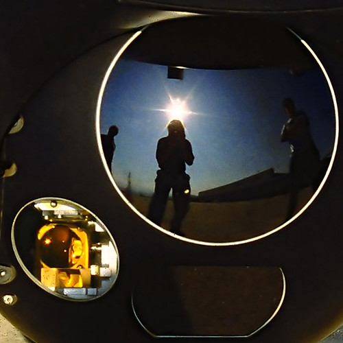
california reflection usmc october bell military 1996 optical huey helicopter turret tracking mcas camppendleton usmarinecorps uh1n nosemounted
Huey, Dewey, and Louie?
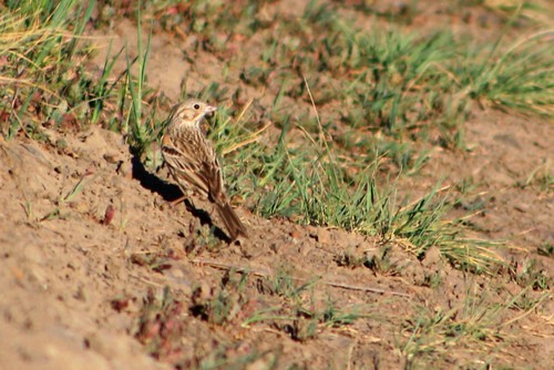
riversidecounty vespersparrow pooecetesgramineus santarosaplateauecologicalreserve santaroseplateau
Vesper Sparrow (Pooecetes gramineus)
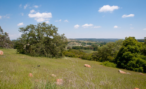
santarosaplateau
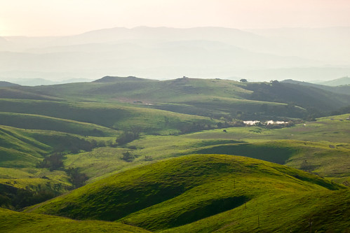
View over the plateau
santarosaplateauecologicalpreserve 03312019 murrieta riversidecounty california afsdxnikkor55300mmf4556gedvr nikond5300 mtsanjacinto
The view of Mt. San Jacinto from Santa Rosa Plateau, Murrieta, CA
View of Durlings Nursery in Fallbrook CA 1
Point of View
Enjoy the View
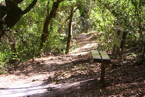
nature bench wildlife santarosaplateau
a bench in the woods
flowers cloud memorial diane firstdayofspring
The Day After the Last Day of Winter
pentax outoffocus wildflowers 21mm santarosaplateau goldfields silkypix pentaxk10d
Camera tricks
jcgpan
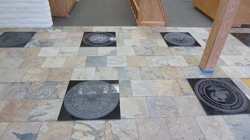
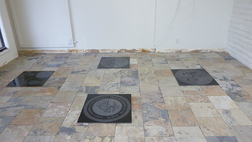
View of laser inscribed black granite that featured the seal of each military service. John Graffio adapted official designs to be inscribed on an Epilog Laser machine using Corel Draw software.
phillipcross-back-180
nature wildlife santarosaplateau
view from the top
jcgpan
View of laser inscribed black granite that featured the seal of each military service. John Graffio adapted official designs to be inscribed on an Epilog Laser machine using Corel Draw software.
jcgpan
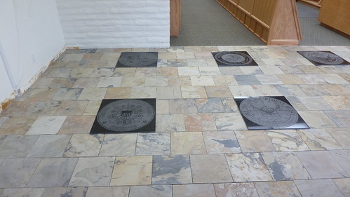
View of laser inscribed black granite that featured the seal of each military service. John Graffio adapted official designs to be inscribed on an Epilog Laser machine using Corel Draw software.
Chunky! - Menudo @ Las Brisas Tacqueria
jcgpan
View of laser inscribed black granite that featured the seal of each military service. John Graffio adapted official designs to be inscribed on an Epilog Laser machine using Corel Draw software.
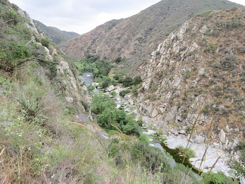
california unitedstates places temecula santamargaritaecologicalreserve
Santa Margarita River Canyon
Las Brisas Tacqueria
Menu @ Las Brisas Tacqueria
california unitedstates places temecula santamargaritaecologicalreserve
Lunch Time View
adventure climb clouds forest grass hike hill meadow pasture silhouette summer sunset trees up walk
The Man Who Went Up a Hill and Other Stories
california tree green nature grass canon landscape spring powershot santarosaecologicalreserve sx260
Springtime, Santa Rosa Plateau
santa tree field clouds 35mm nikon rosa f2 nikkor plains studios barrens d3 murrieta santarosaplateau plainjoe isayx3 plainjoephotoblogcom
The Long and Winding Road
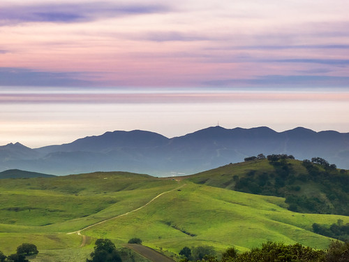
sky green nature grass canon landscape outdoors haze purple hiking horizon powershot hills pacificocean vegetation southerncalifornia s100 camppendleton santaanamountains santamargaritamountains margaritalookout
Santa Margarita Mountains and Pacific Ocean
california canon vernalpool santarosaplateau riversidecounty blueribbonwinner wildflowersunset
Santa Rosa Plateau Vernal Pool (Explored)
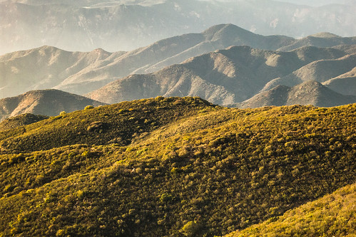
winter nature canon landscape outdoors hiking january powershot hills southerncalifornia chaparral s100 camppendleton clevelandnationalforest santamargaritamountains margaritalookout exsdc tenajaroad
North to the San Mateo Wilderness
santarosaplateau lauraphotos wsweekly85
Blowing in the Wind
california ca travel usa tree nature photoshop canon landscape march photo interestingness google interesting oak day photographer picture clarity explore socal adobe getty southerncalifornia adjust infocus 2014 santarosaplateau cs6 denoise santarosaplateauecologicalreserve 60d topazlabs photographersnaturecom davetoussaint
A Lone Oak on the Santa Rosa Plateau
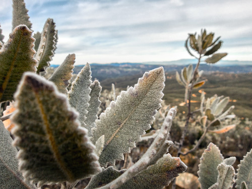
winter macro nature canon landscape outdoors flora hiking january powershot southerncalifornia chaparral s100 2015 yerbasanta clevelandnationalforest santamargaritamountains
Yerba Santa, Santa Margarita Mountains
winter green nature grass canon landscape outdoors hiking january powershot hills southerncalifornia s100 camppendleton clevelandnationalforest santamargaritamountains margaritalookout exsdc tenajaroad
The Rolling Green West of Margarita
california santa unitedstates rosa murrieta plateauecologicalreservemurrietta
Santa Rosa 263
trees plants green grass canon walking landscape outdoors spring afternoon unitedstates hiking scenic powershot socal vegetation southerncalifornia oaks santarosaplateau riversidecounty ecologicalreserve project365 sx260
To the place I belong, Project 365: 75/365
california santa unitedstates rosa murrieta plateauecologicalreservemurrietta
Santa Rosa 60
california ca travel usa flower macro nature photoshop canon landscape march photo interestingness google interesting photographer bokeh picture explore socal adobe getty southerncalifornia preserve temecula adjust 2014 santarosaplateau chocolatelily cs6 tenaja denoise 60d topazlabs photographersnaturecom davetoussaint
First Shot of Spring
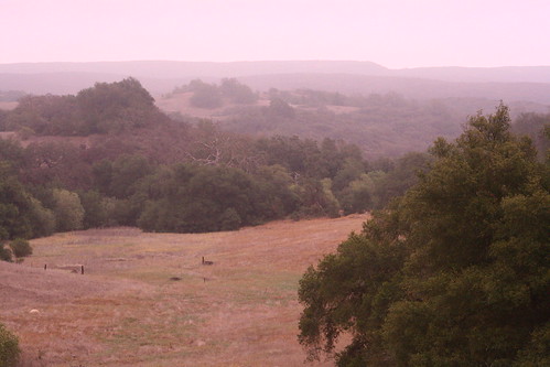
california usa tree nature fog canon landscape photo oak flickr award lone temecula 2009 naturepreserve murrieta cubism santarosaplateau potofgold tenaja 40d treesubject photographersnaturecom davetoussaint davetoussaintcom
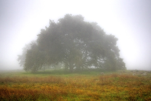
Fog shrouded Oak Tree
dng
Bunchgrass Prairie and Engelmann Oak Woodland
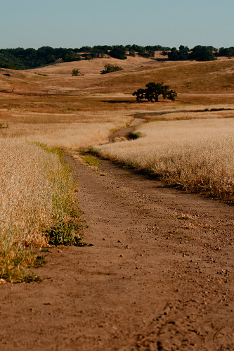
road sky tree landscape dirt santarosaplateau lauraphotos
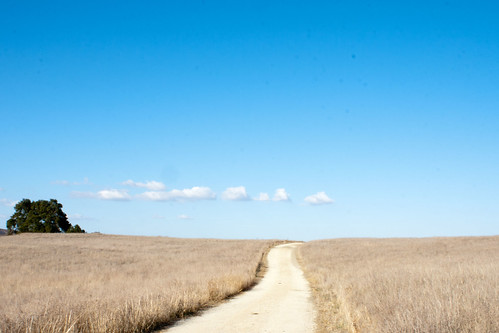
Road to the Horizon
blackandwhite nature field grass bokeh feathers meadow hike backlit santarosaplateau 85mmf14
The Ground Aflame
santarosaplateau lauraphotos
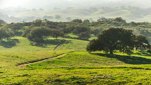
Plateau Path
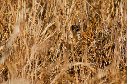
snake rattlesnake santarosaplateau lauraphotos
Hidden Danger
Cleveland National Forest