Elevation of Casalero Dr, Temecula, CA, USA
Location: United States > California > Riverside County > Temecula >
Longitude: -117.26420
Latitude: 33.4893441
Elevation: 357m / 1171feet
Barometric Pressure: 97KPa
Elevation Map:
Satellite Map:
Related Photos:
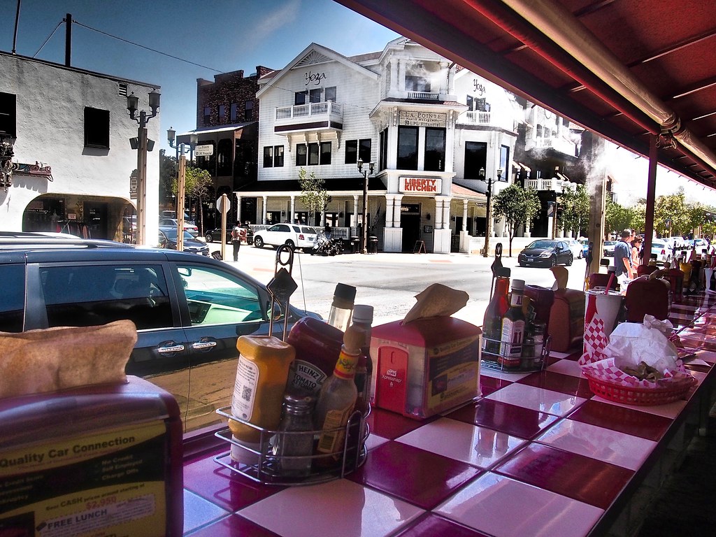
Liberty Kitchen
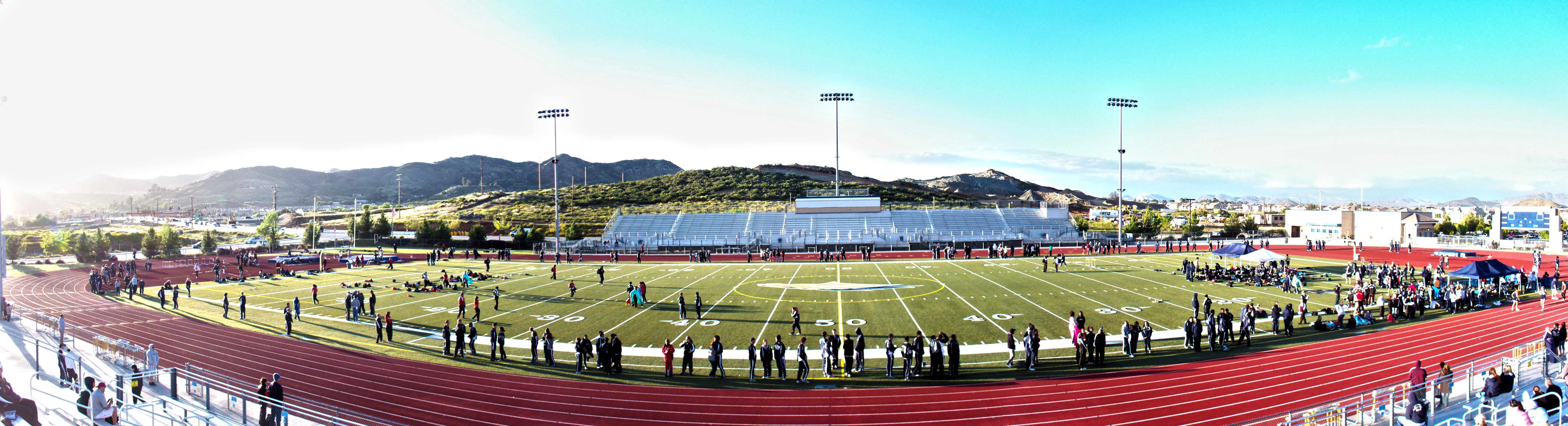
Track Panorama
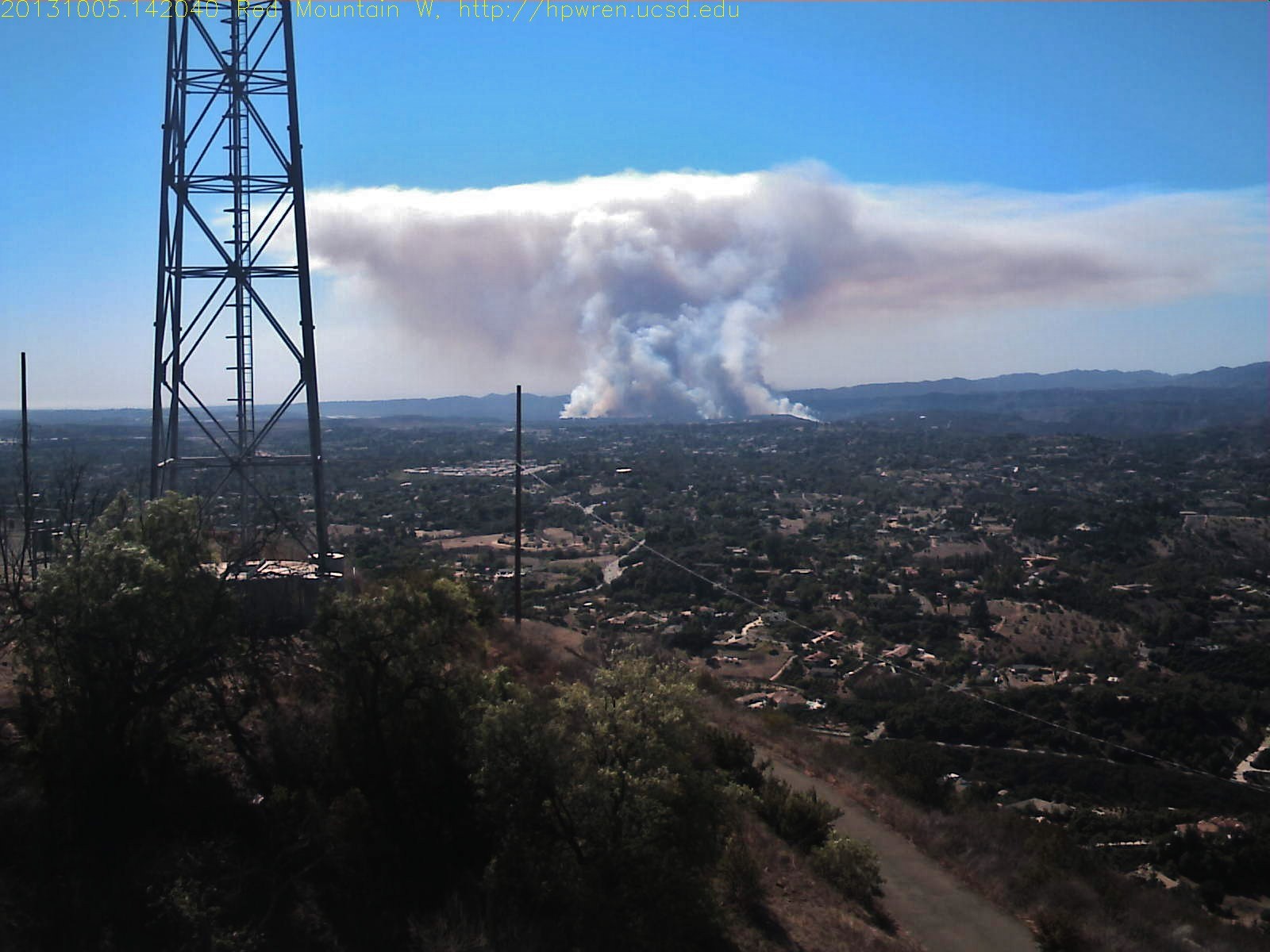
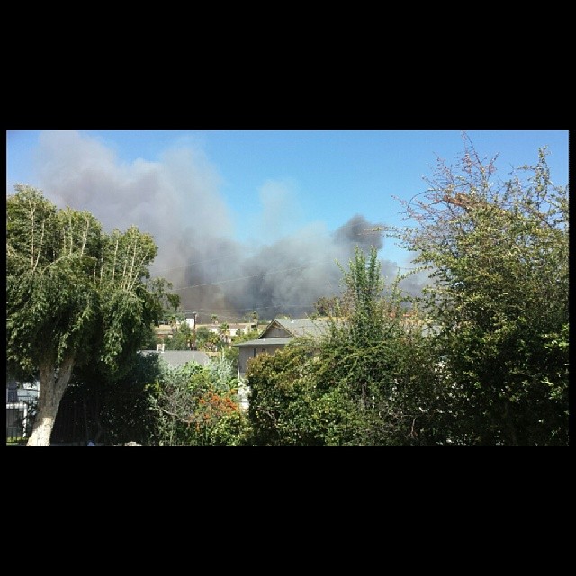
Red Mountain west view of Camp Pendleton wildfire

Before Starbacks, After Starbucks
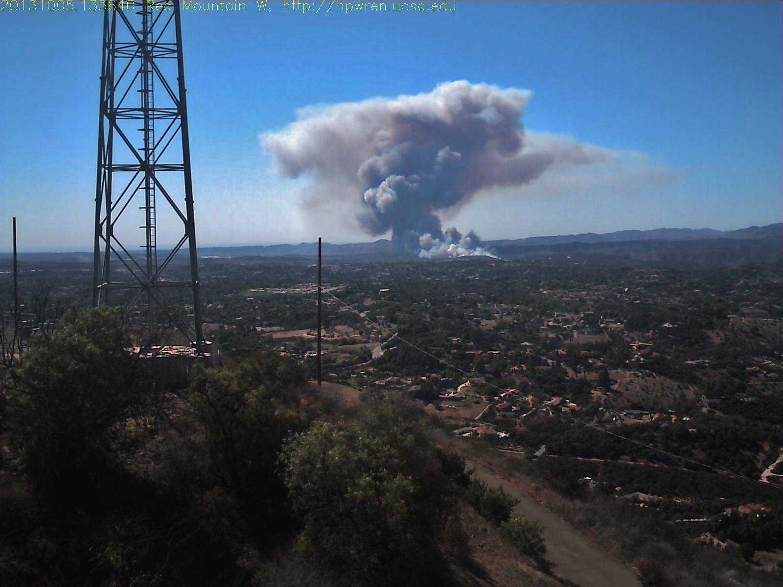
Red Mountain west view of Camp Pendleton wildfire
Wildland fire night view

Dear Reader viewing

Dear Reader viewing
Panorama looking south across the street from the library

Street View - Fallbrook

why do I feel this way?
Distant snow, about 60 miles away
Bowling view
My window view. Getting ready to pack up just in case they tell us to evacuate we ate okay l.

S. Main Avenue - Fallbrook

my view #endoftheday

Street View - S Main Avenue - Fallbrook

Sunset Sky
My lunchtime view from the breakroom patio at work

The Day After the Last Day of Winter
A view to the pond
THE END RESULT, EXPLORED #54
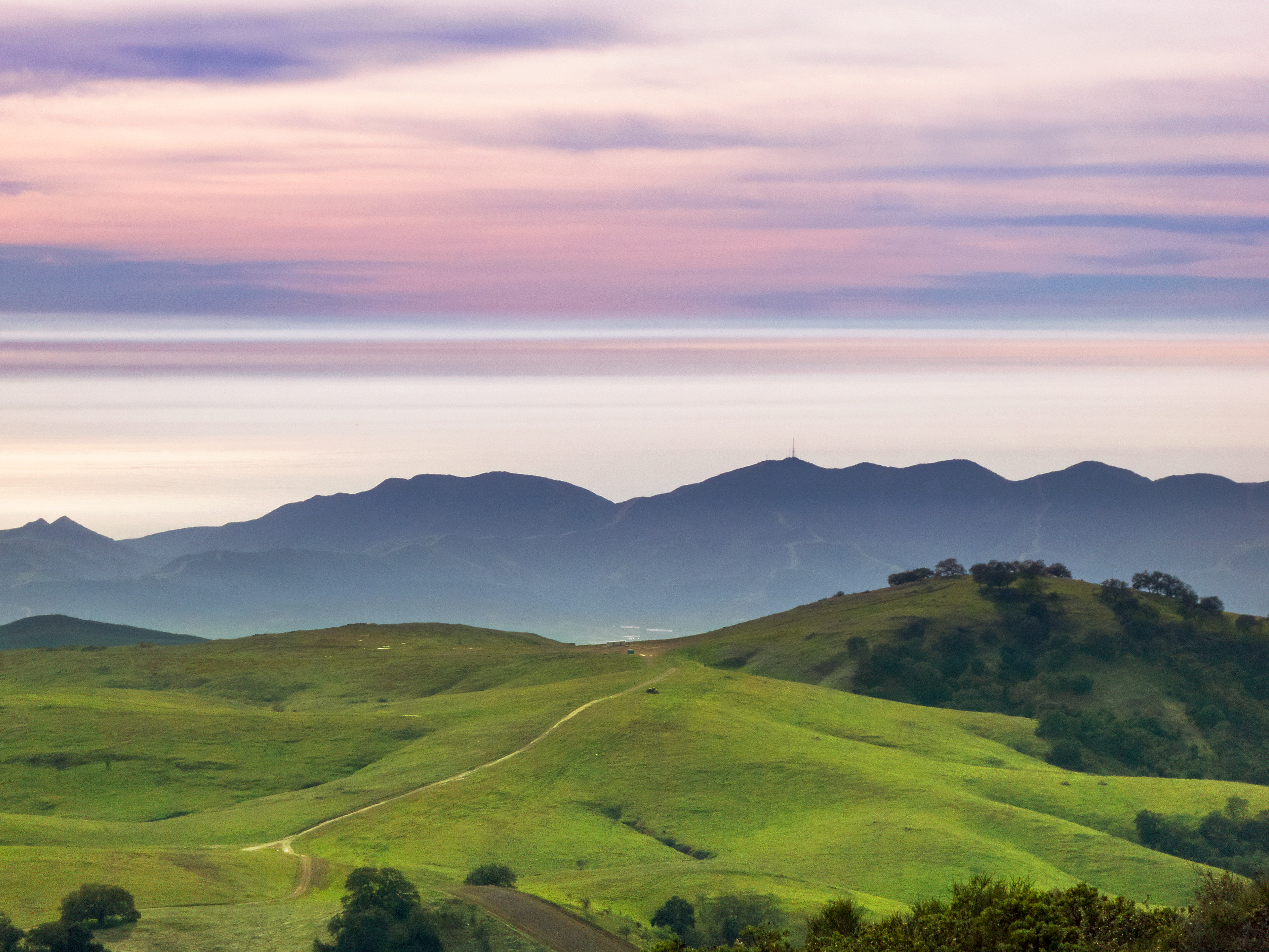
Santa Margarita Mountains and Pacific Ocean
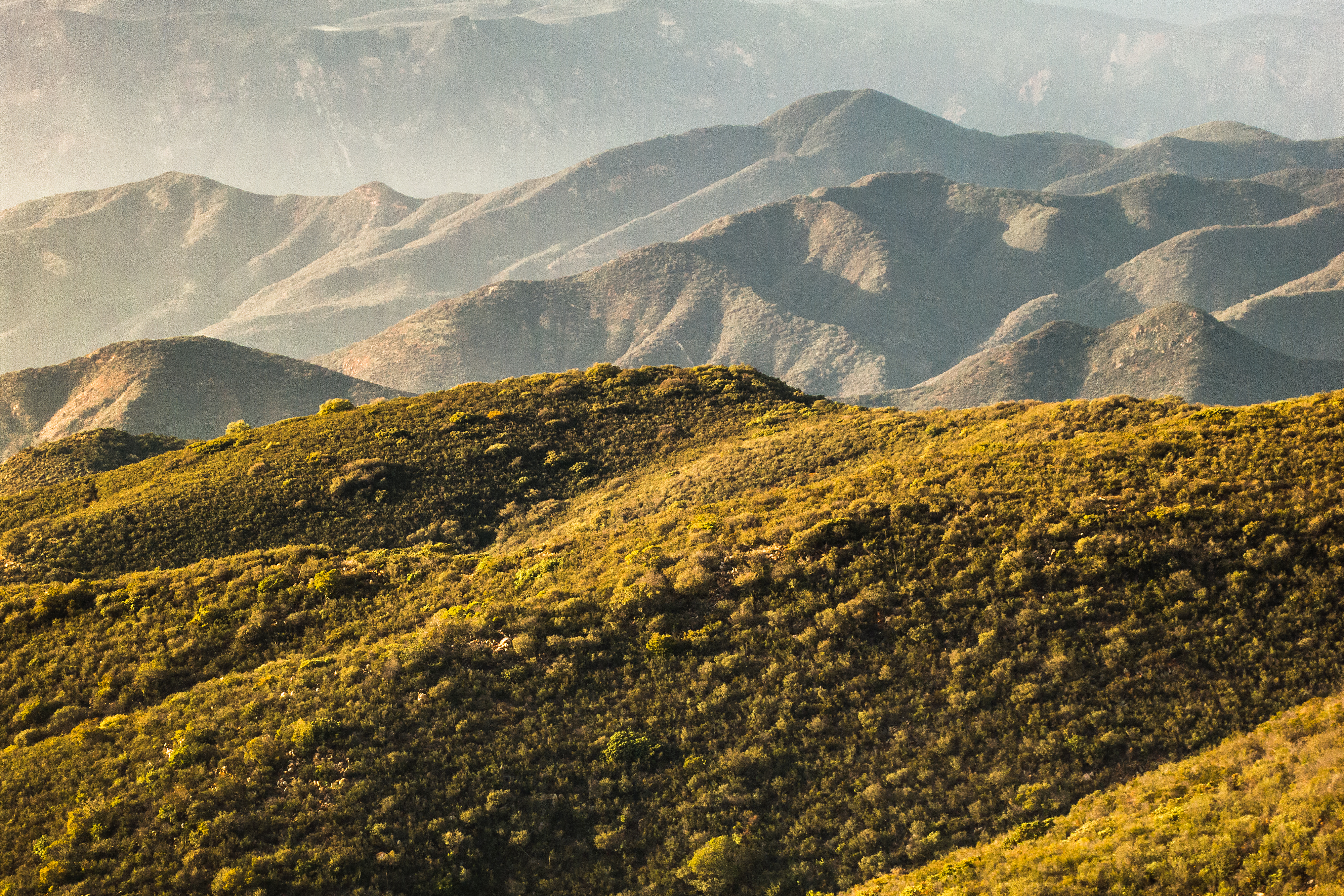
North to the San Mateo Wilderness
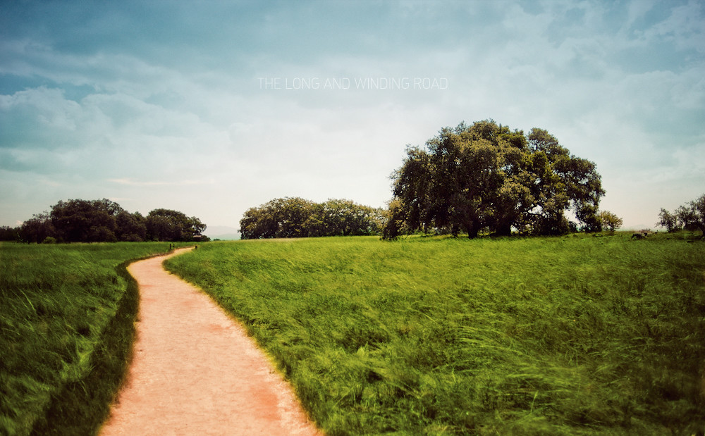
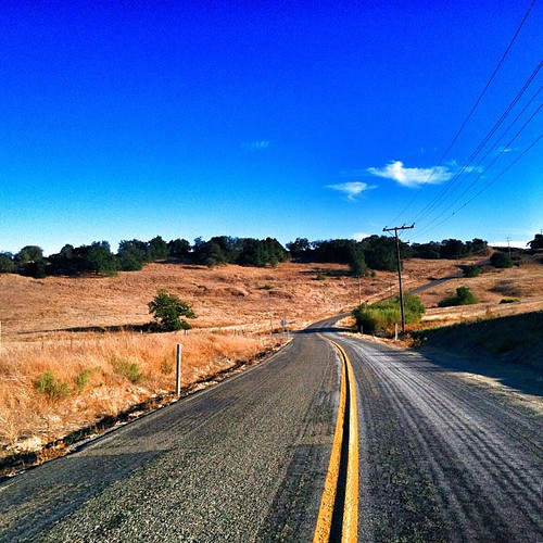
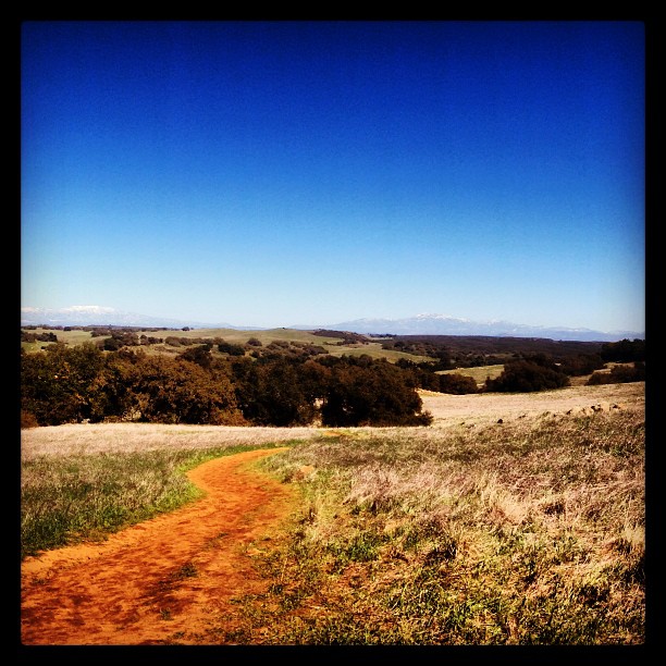
The Long and Winding Road

DSC_0846.jpg
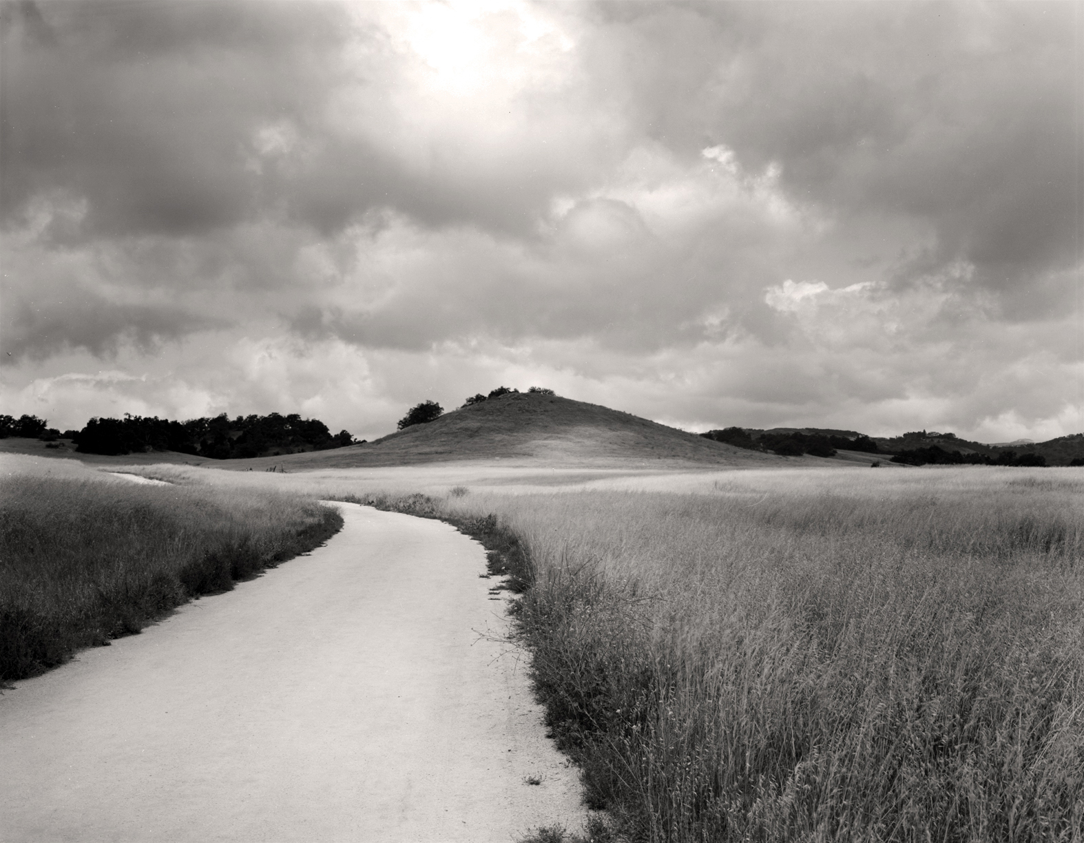
Santa Rosa Path

Adam and his speed steed
Love this drive at #santarosaplateau
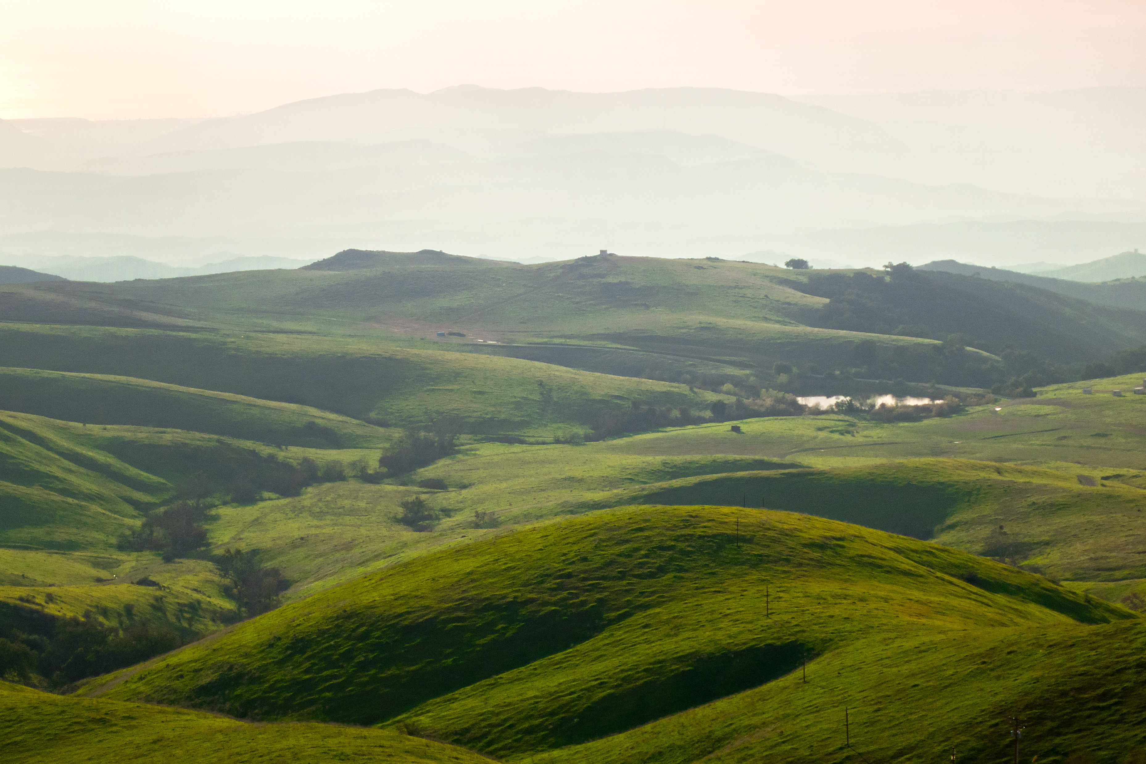
The Rolling Green West of Margarita
Springtime, Santa Rosa Plateau
#california #trip #temecula

Yerba Santa, Santa Margarita Mountains

Blowing in the Wind

Santa Rosa Plateau Vernal Pool (Explored)
Another beautiful day at Santa Rosa Plateau!

Into The Horizon.
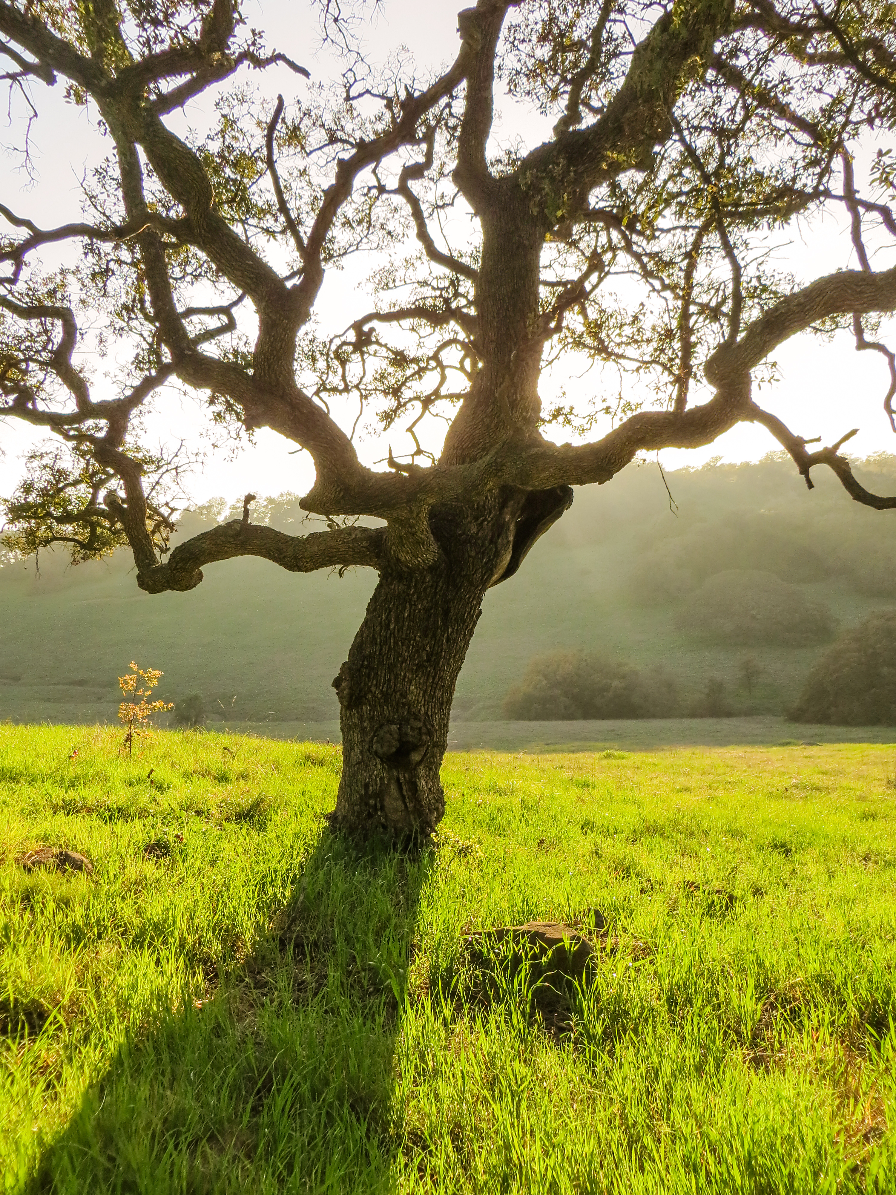
Bunchgrass Prairie and Engelmann Oak Woodland
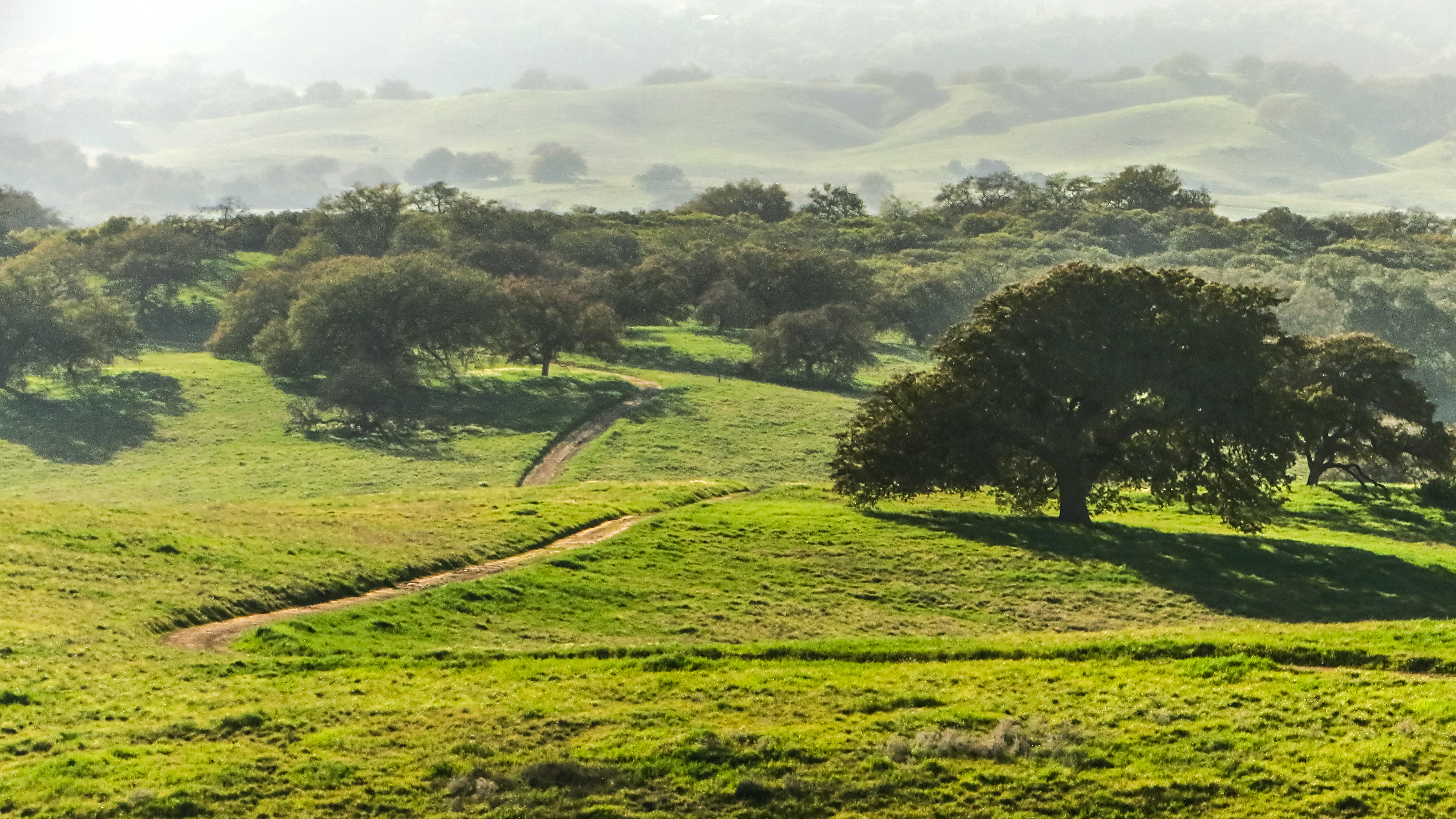
Santa Rosa 60
To the place I belong, Project 365: 75/365

Santa Rosa 263
Topographic Map of Casalero Dr, Temecula, CA, USA
Find elevation by address:

Places near Casalero Dr, Temecula, CA, USA:
43689 Casalero Dr
21110 Lillian Ln
Carancho Rd, Temecula, CA, USA
44410 Los Gatos Rd
46320 Sandia Creek Dr
40505 Sandia Creek Dr
25377 Via Oeste
Santa Rosa Plateau
40436 Little Ross Rd
Vía Escondido
4150 Rock Mountain Rd
Rock Mountain Road
45525 Cll Jardin
39400 Clinton Keith Rd
3450 W Sandia Creek Terrace
De Luz Murrieta Road
3450 W Sandia Creek Terrace
26095 Cll Catrina
24755 Rancho California Rd
40150 Avenida Del Tiendas
Recent Searches:
- Elevation of Leguwa, Nepal
- Elevation of County Rd, Enterprise, AL, USA
- Elevation of Kolchuginsky District, Vladimir Oblast, Russia
- Elevation of Shustino, Vladimir Oblast, Russia
- Elevation of Lampiasi St, Sarasota, FL, USA
- Elevation of Elwyn Dr, Roanoke Rapids, NC, USA
- Elevation of Congressional Dr, Stevensville, MD, USA
- Elevation of Bellview Rd, McLean, VA, USA
- Elevation of Stage Island Rd, Chatham, MA, USA
- Elevation of Shibuya Scramble Crossing, 21 Udagawacho, Shibuya City, Tokyo -, Japan