Elevation of Delta Rd 2, Mathias, WV, USA
Location: United States > West Virginia > Hardy County > Lost River > Mathias >
Longitude: -78.881695
Latitude: 38.7992919
Elevation: 526m / 1726feet
Barometric Pressure: 95KPa
Elevation Map:
Satellite Map:
Related Photos:

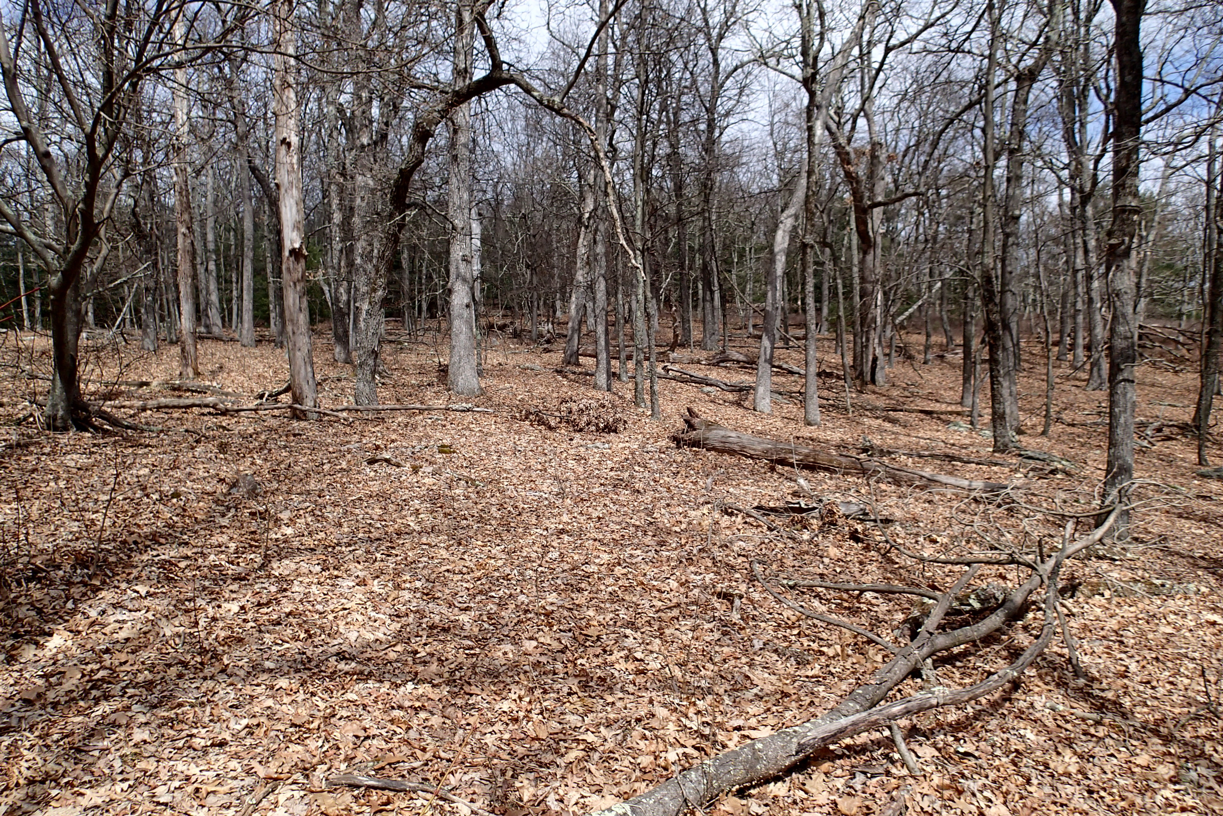
Late Fall in George Washington Forest, Virginia

View of Stream in Summer

Valley View Mennonite Church Criders Virginia 2012

Mountain house view with grill
Valley View Mennonite Church Criders Virginia 2012
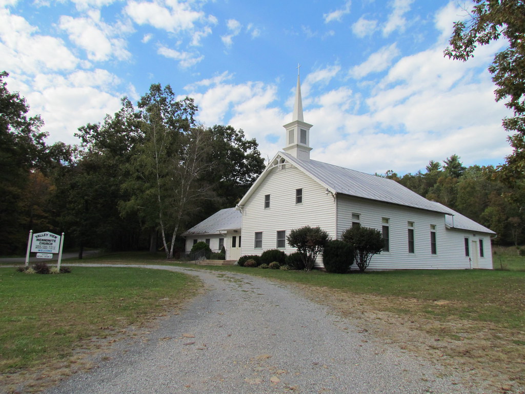
Valley View Mennonite Church Criders Virginia 2012

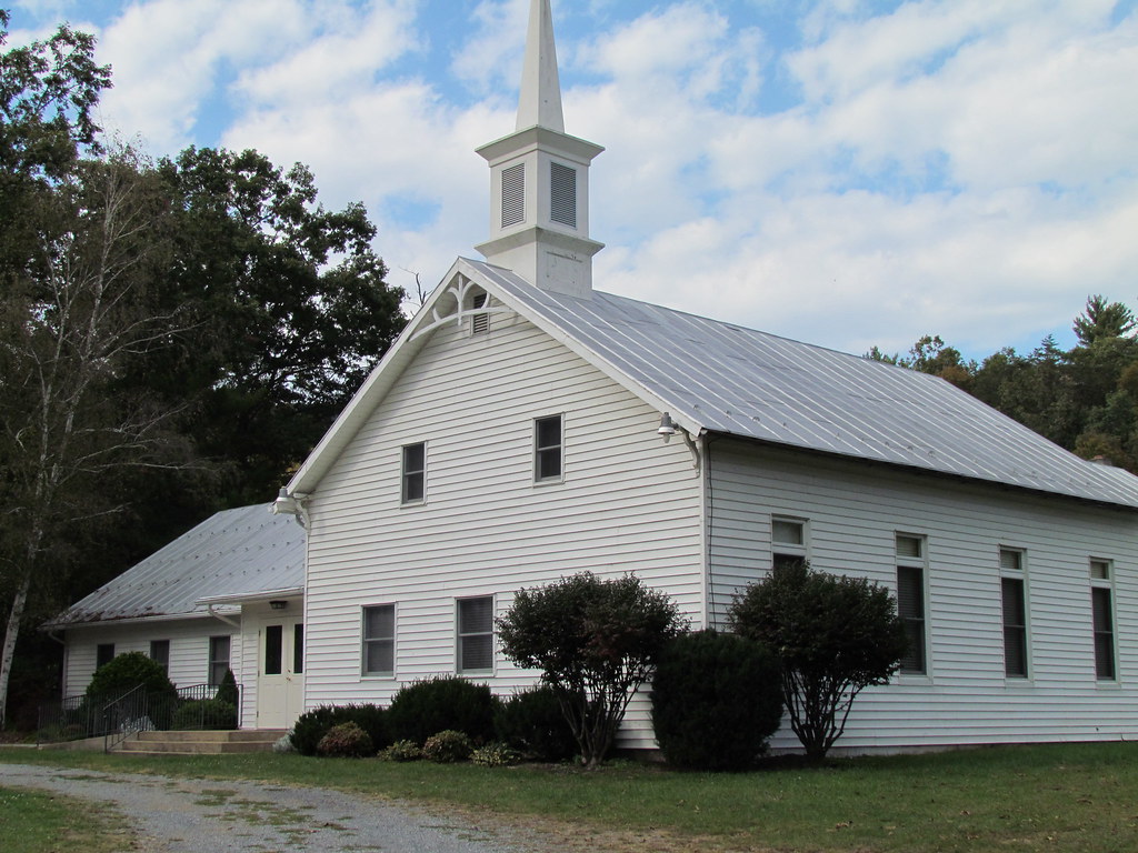
Valley View Mennonite Church Criders Virginia 2012 (1880)

P3295621 10 Church Rock View

P3285610 08 Jct View Looking Left
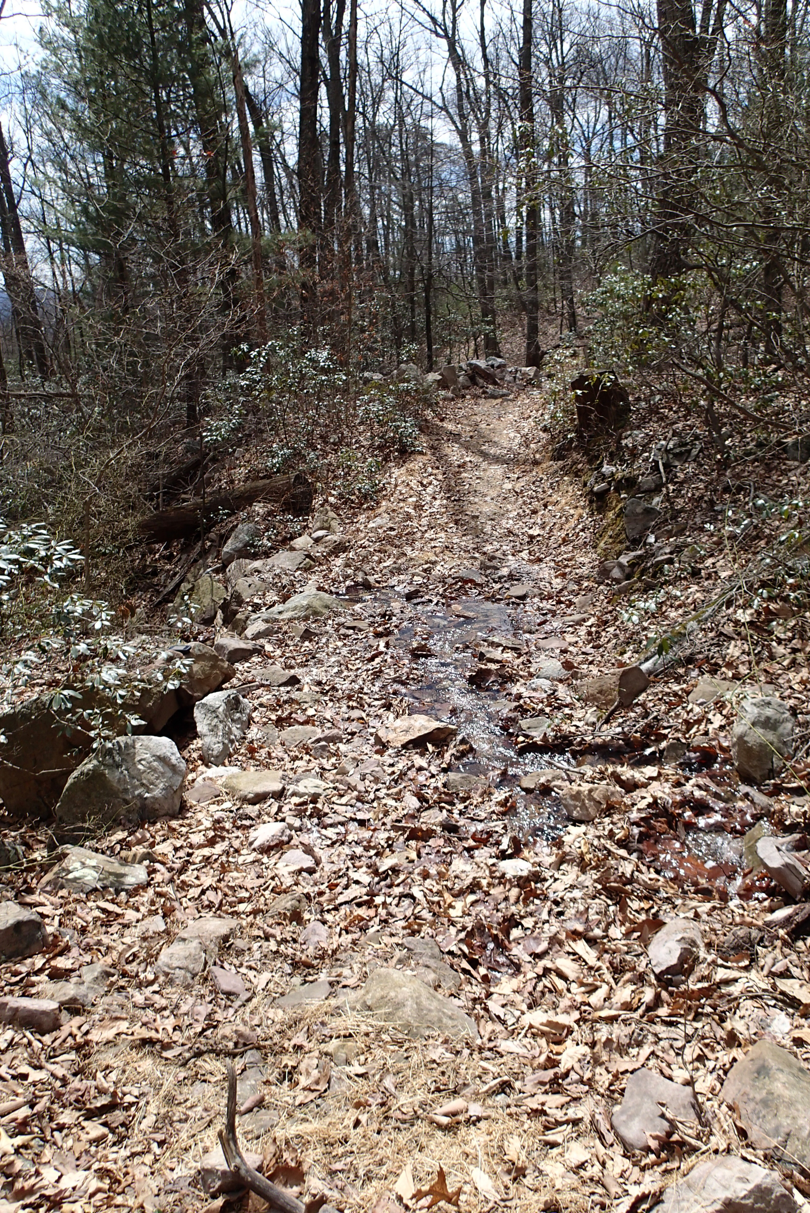
P3285600 05 Stream Crossing View Looking Back

P3285596 04 Jct View Church Rock Tr

P3285615 08 Jct View Church Rock Tr

DSC01175 003 View Great North Mtn facing north
P3285613 08 Jct View Looking Back at Church Rock Tr

P3285496 03 Jct View Looking Back at Access Tr

P3285518 07 Jct View Ahead Tomahawk Pond Tr

DSC01174 003 View Great North Mtn facing northeast

P3285603 06 Jct View Looking Back

P3285604 06 Jct View Looking at Church Rock Tr

P3285606 06 Jct View of Blaze
P3285611 08 Jct View Looking Right

Moon Through Trees

Photo Op

DSC01316 009 FR 1851 jct SR 717

Babbling brook.

Thats me driving.

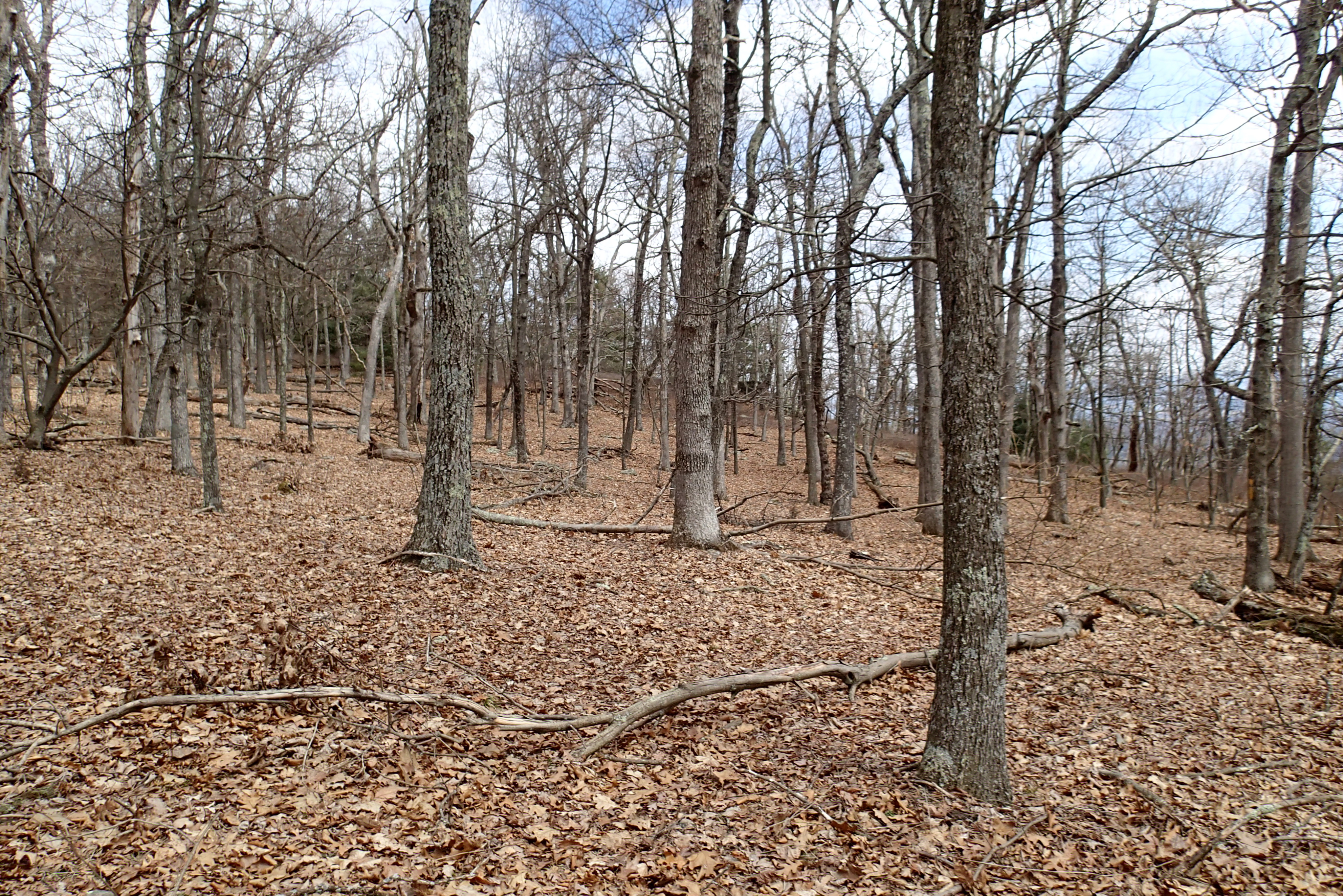
North mt
West VA 121001_120rs

West VA 121001_103 pan s

The Farm Stream in Spring
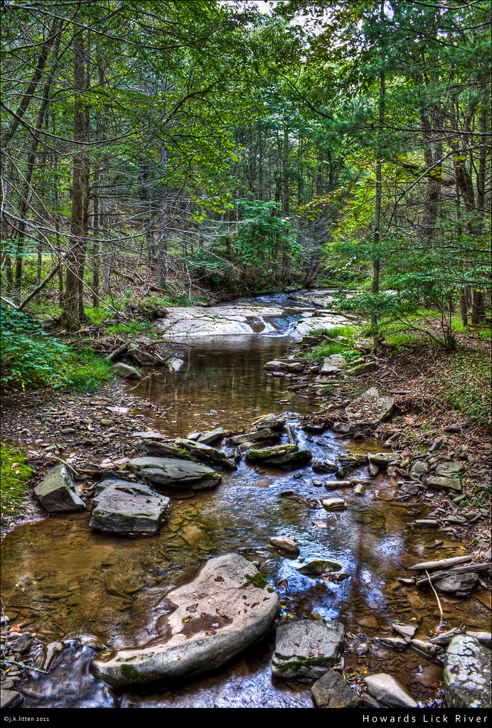
Howards Lick River

2009 Parish Rereat-17

Snow at Chalet High

20090307-_MG_9667

20090127-_MG_0145

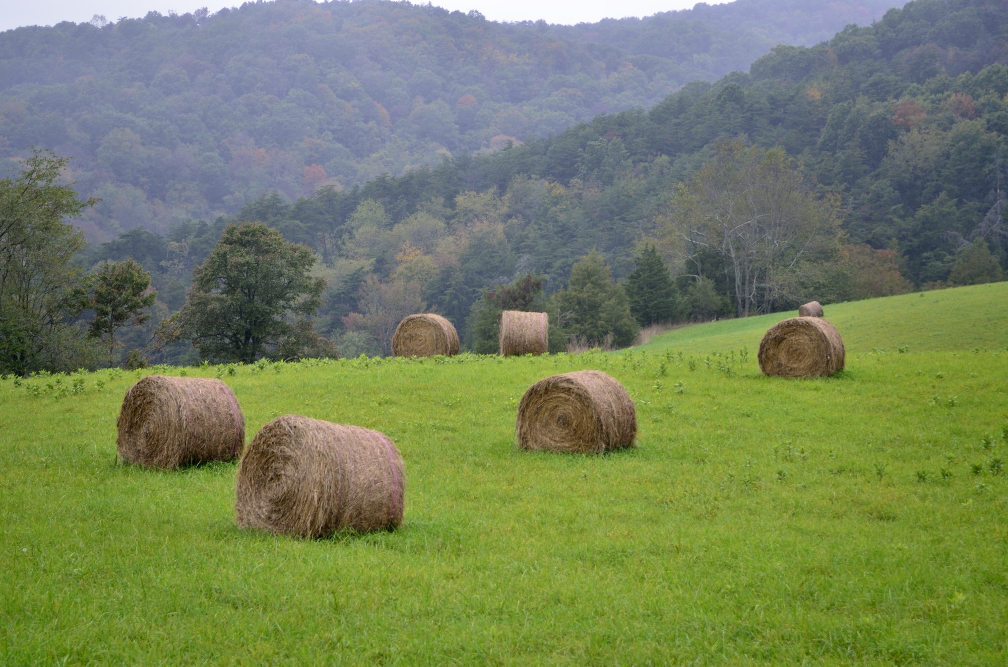
Mountains above farm

Dry grass

First Box Turtle of the season, Church Mountain area of George Washington National Forest

Power Lines.

Forestville, VA
Topographic Map of Delta Rd 2, Mathias, WV, USA
Find elevation by address:

Places near Delta Rd 2, Mathias, WV, USA:
Mattie Snyder Road
Highland Retreat
Moyers Lane
810 Fallbush Mountain Dr
Stultz Lane
18304 Crab Run Rd
18140 Bergton Rd
16979 Bergton Rd
16633 Bergton Rd
17938 Crab Run Rd
Bergton
20898 Souder Ln
13884 Supinlick Rd
19592 Clem Hollow Ln
29292 Arbuckle Rd
4305 Supinlick Ridge Rd
154 The Hill Rd
Grade Rd, Basye, VA, USA
950 Tussing Ln
108 Yvonne Way
Recent Searches:
- Elevation of 6 Rue Jules Ferry, Beausoleil, France
- Elevation of Sattva Horizon, 4JC6+G9P, Vinayak Nagar, Kattigenahalli, Bengaluru, Karnataka, India
- Elevation of Great Brook Sports, Gold Star Hwy, Groton, CT, USA
- Elevation of 10 Mountain Laurels Dr, Nashua, NH, USA
- Elevation of 16 Gilboa Ln, Nashua, NH, USA
- Elevation of Laurel Rd, Townsend, TN, USA
- Elevation of 3 Nestling Wood Dr, Long Valley, NJ, USA
- Elevation of Ilungu, Tanzania
- Elevation of Yellow Springs Road, Yellow Springs Rd, Chester Springs, PA, USA
- Elevation of Rēzekne Municipality, Latvia