Elevation of Fallbush Mountain Dr, Mathias, WV, USA
Location: United States > West Virginia > Hardy County > Lost River > Mathias >
Longitude: -78.93009
Latitude: 38.835108
Elevation: 585m / 1919feet
Barometric Pressure: 94KPa
Elevation Map:
Satellite Map:
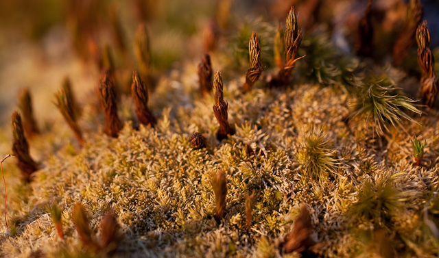
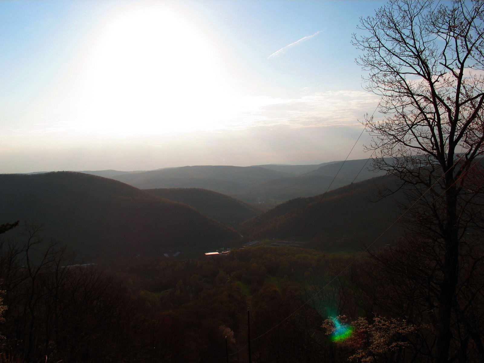
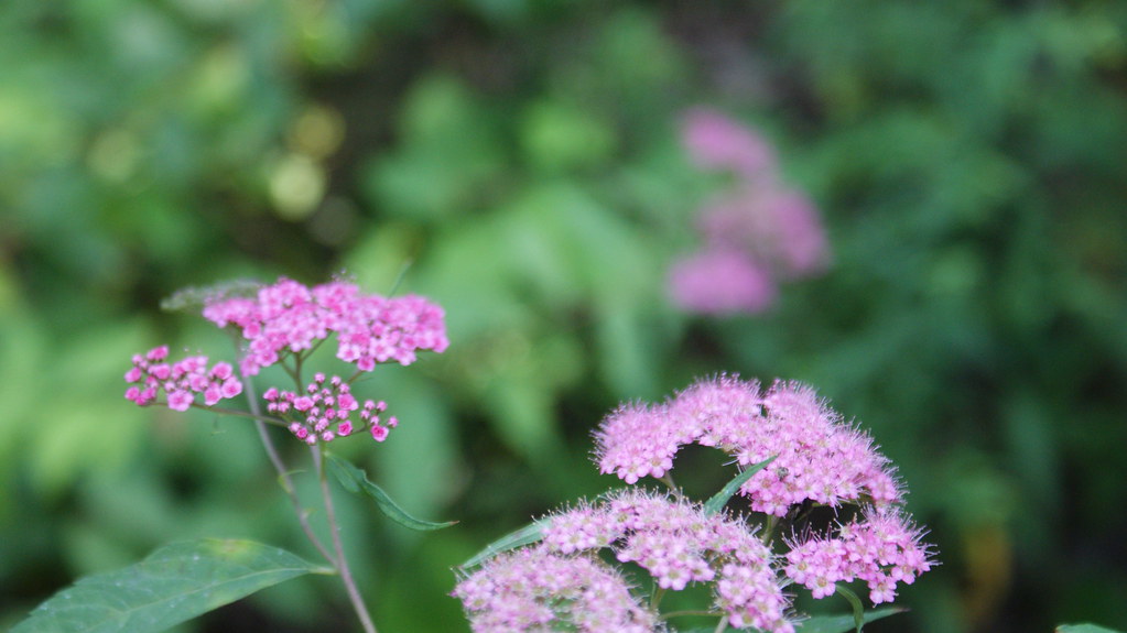
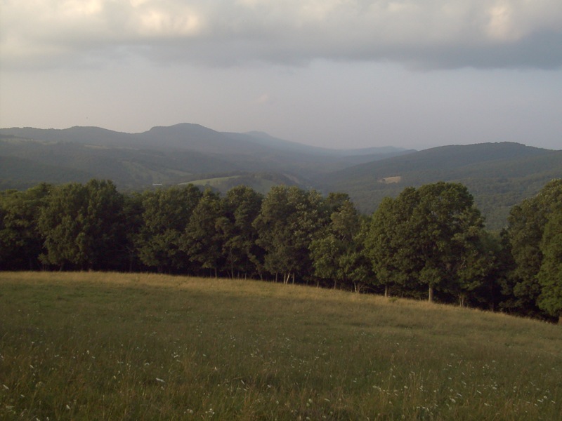
Related Photos:
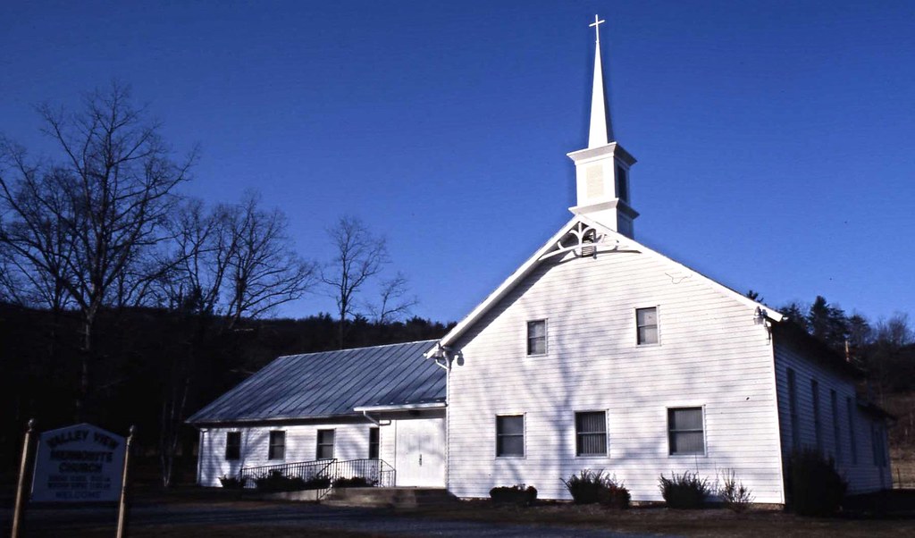
Valley View Mennonite Church, Criders, Virginia, 1993

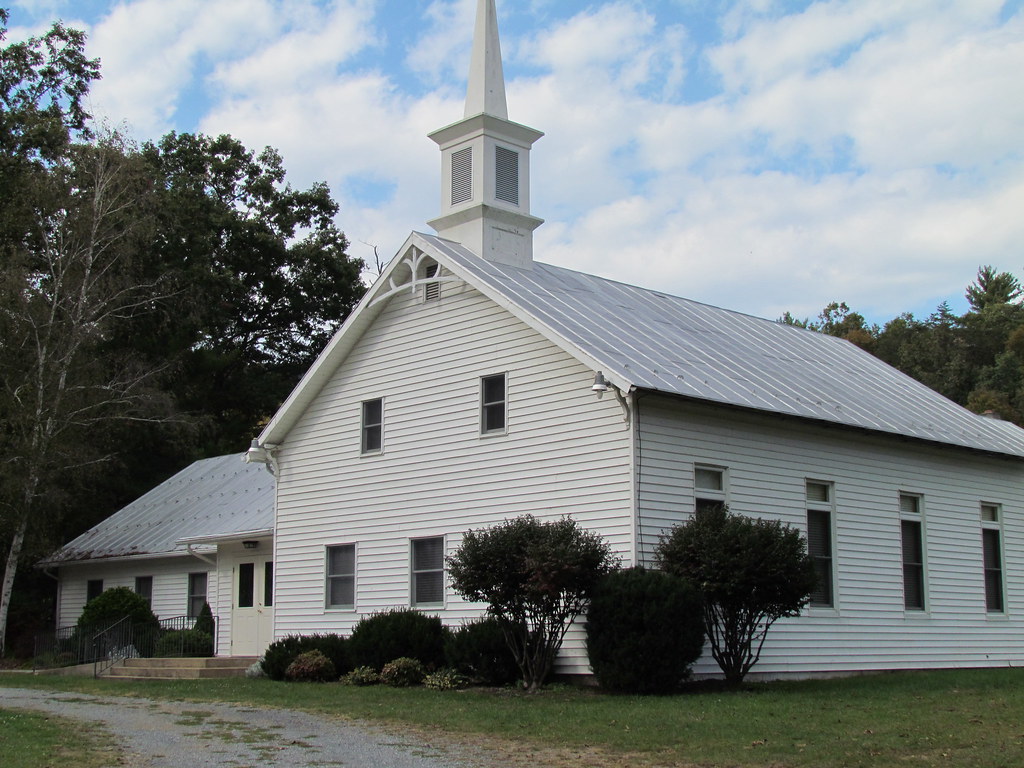
Valley View Mennonite Church Criders Virginia 2012
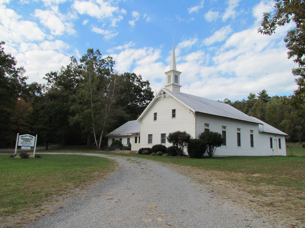
Valley View Mennonite Church Criders Virginia 2012
Valley View Mennonite Church Criders Virginia 2012

Valley View Mennonite Church Criders Virginia 2012
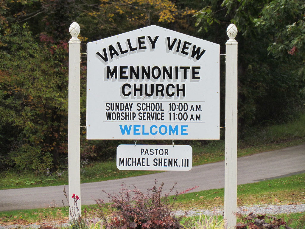
Valley View Mennonite Church Criders Virginia 2012 (1880)
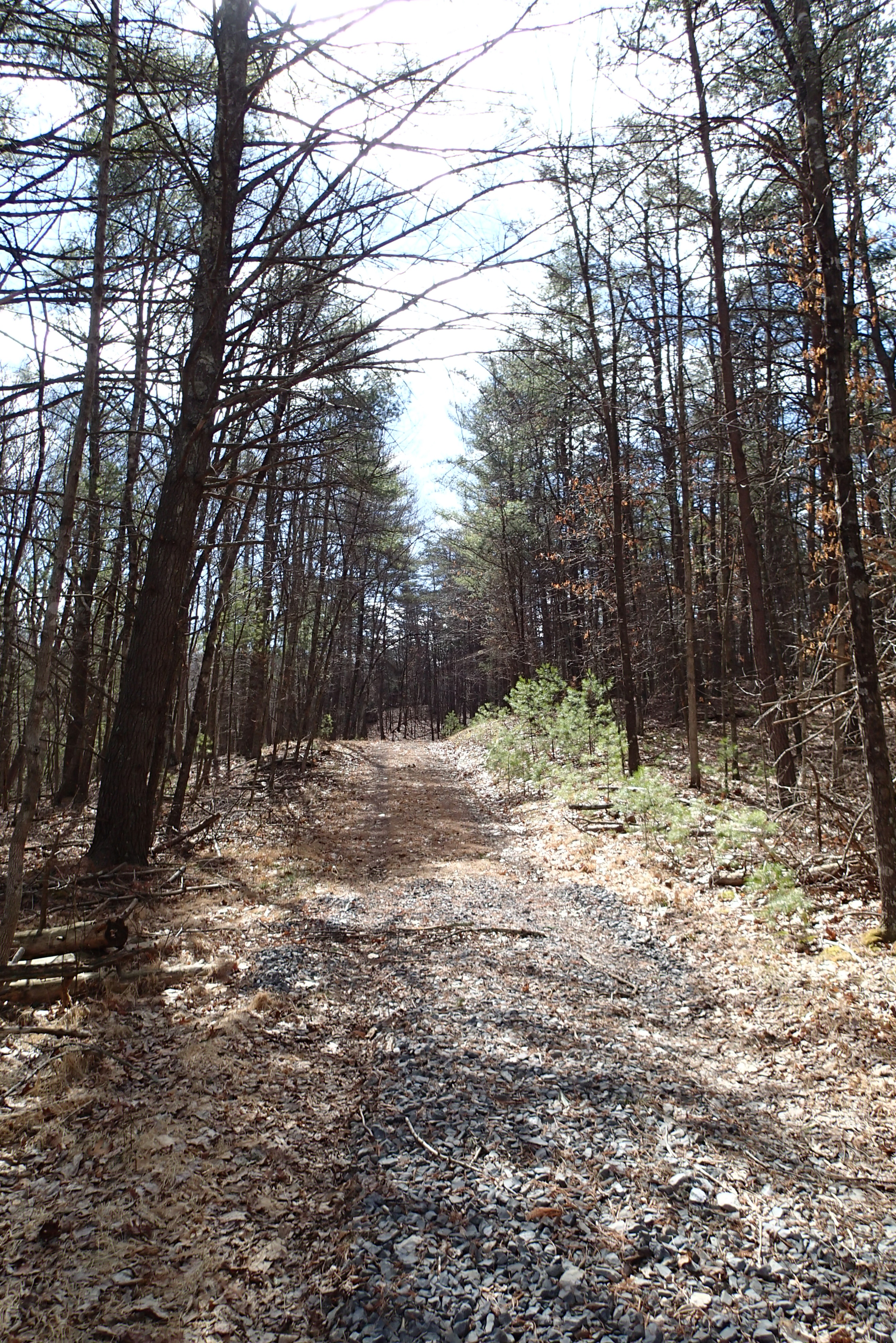
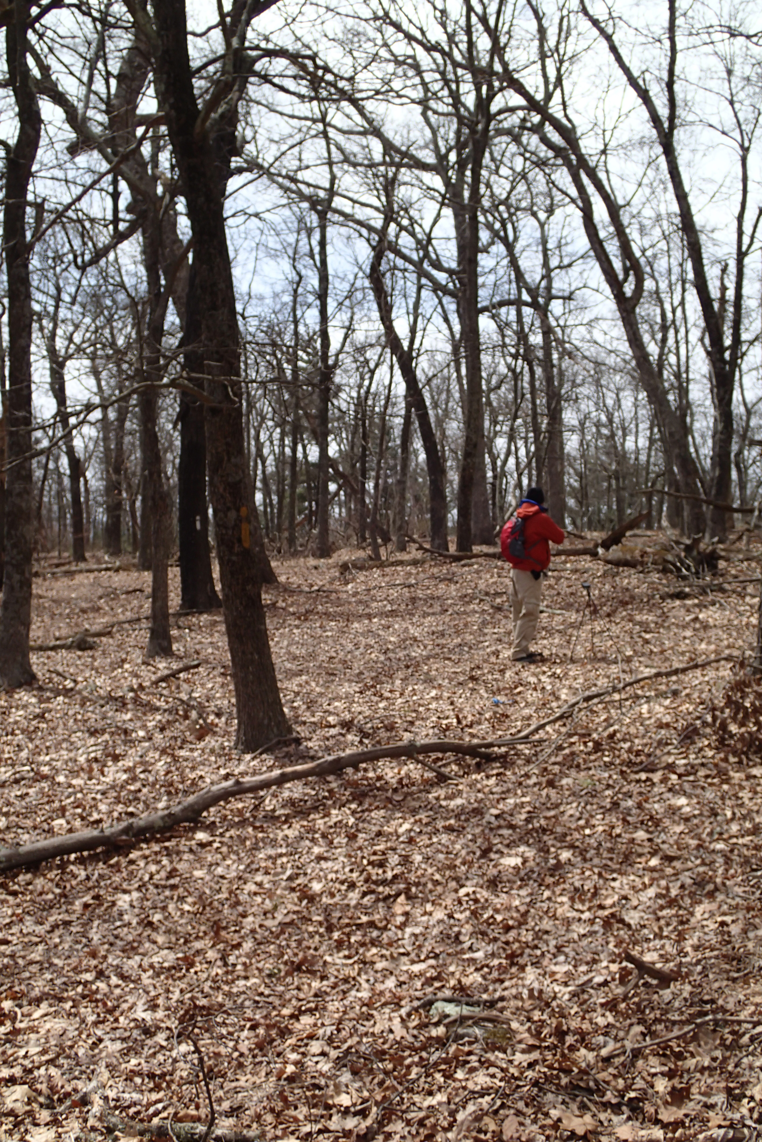
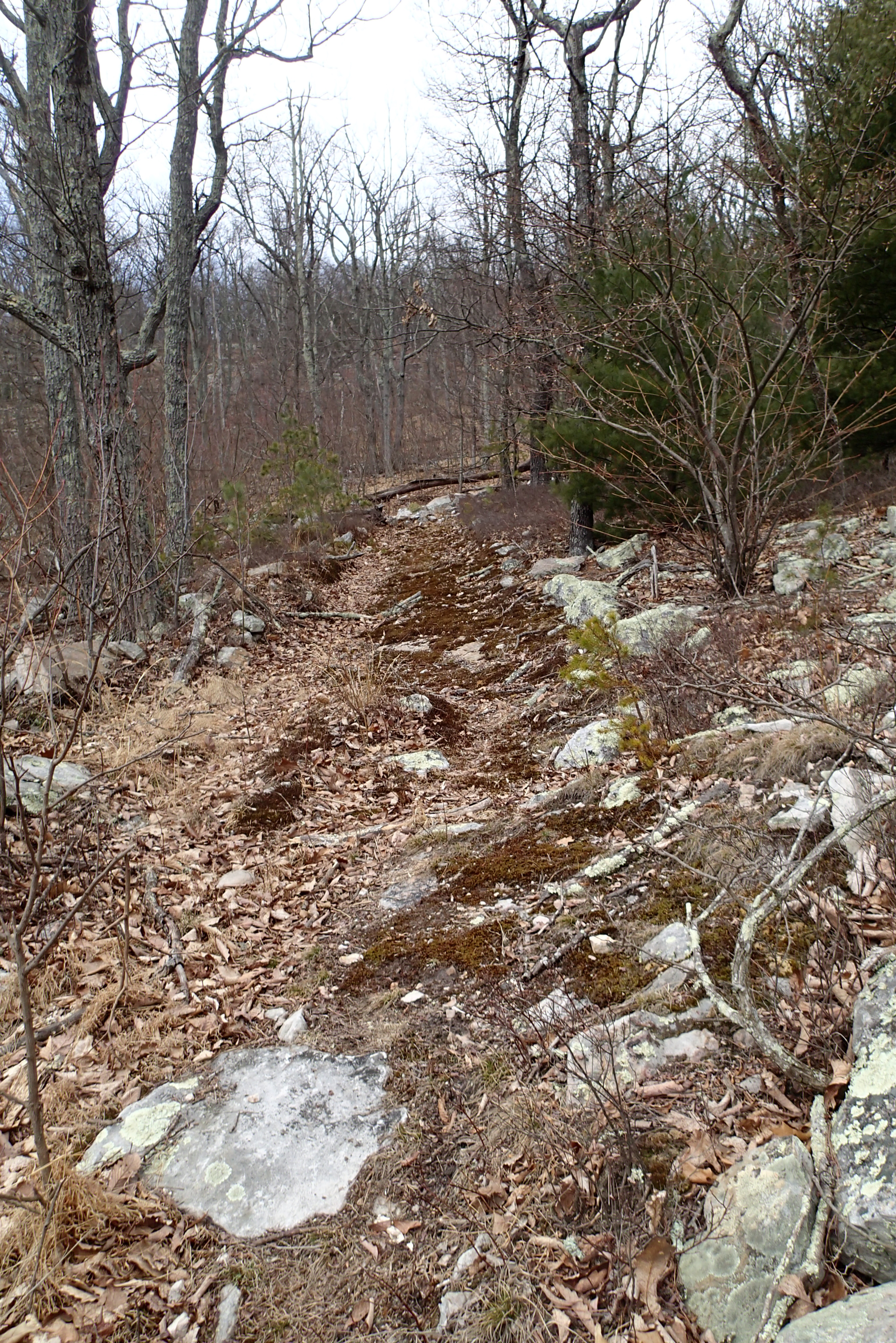
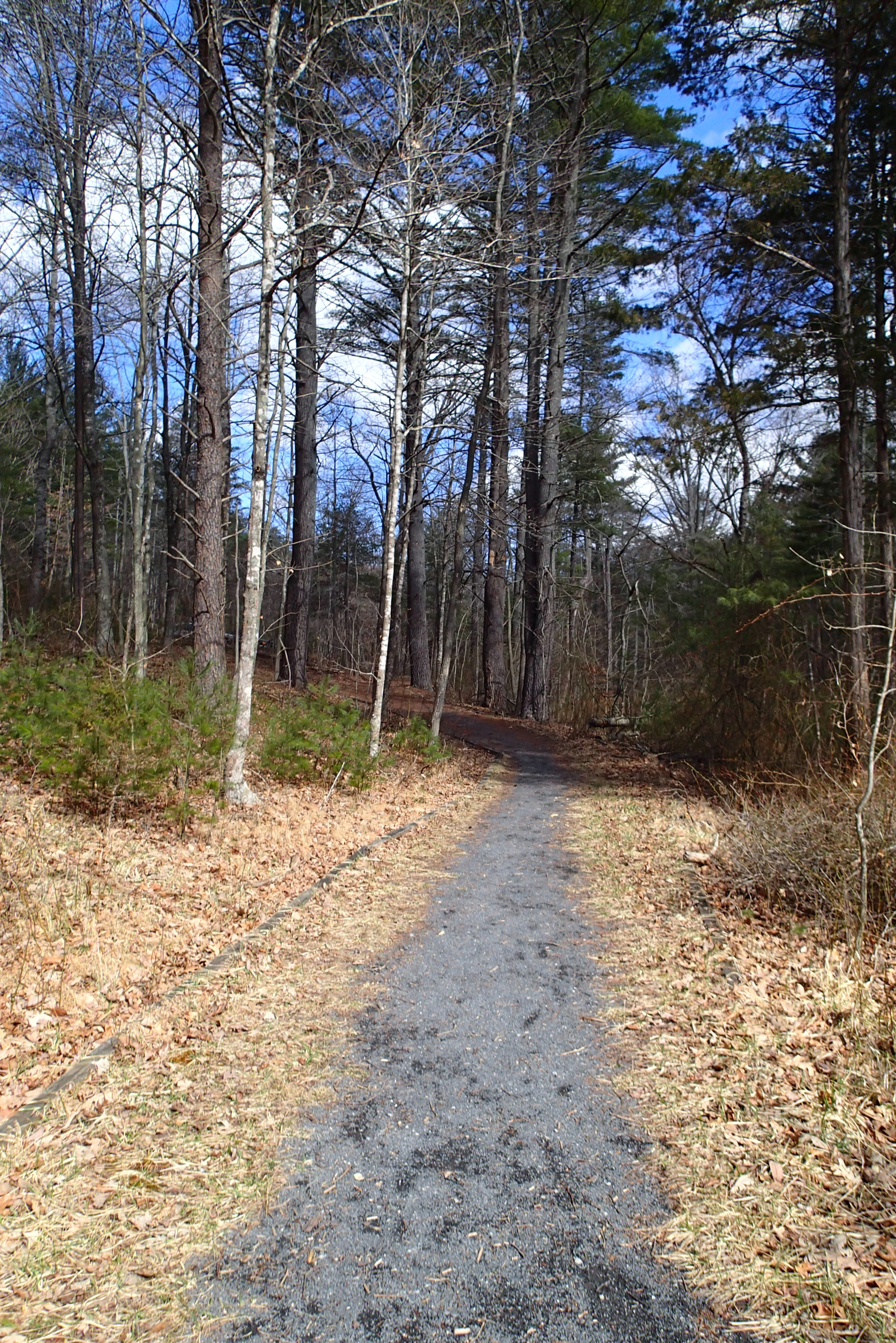
P3285514 05 View Forest Road Looking Back
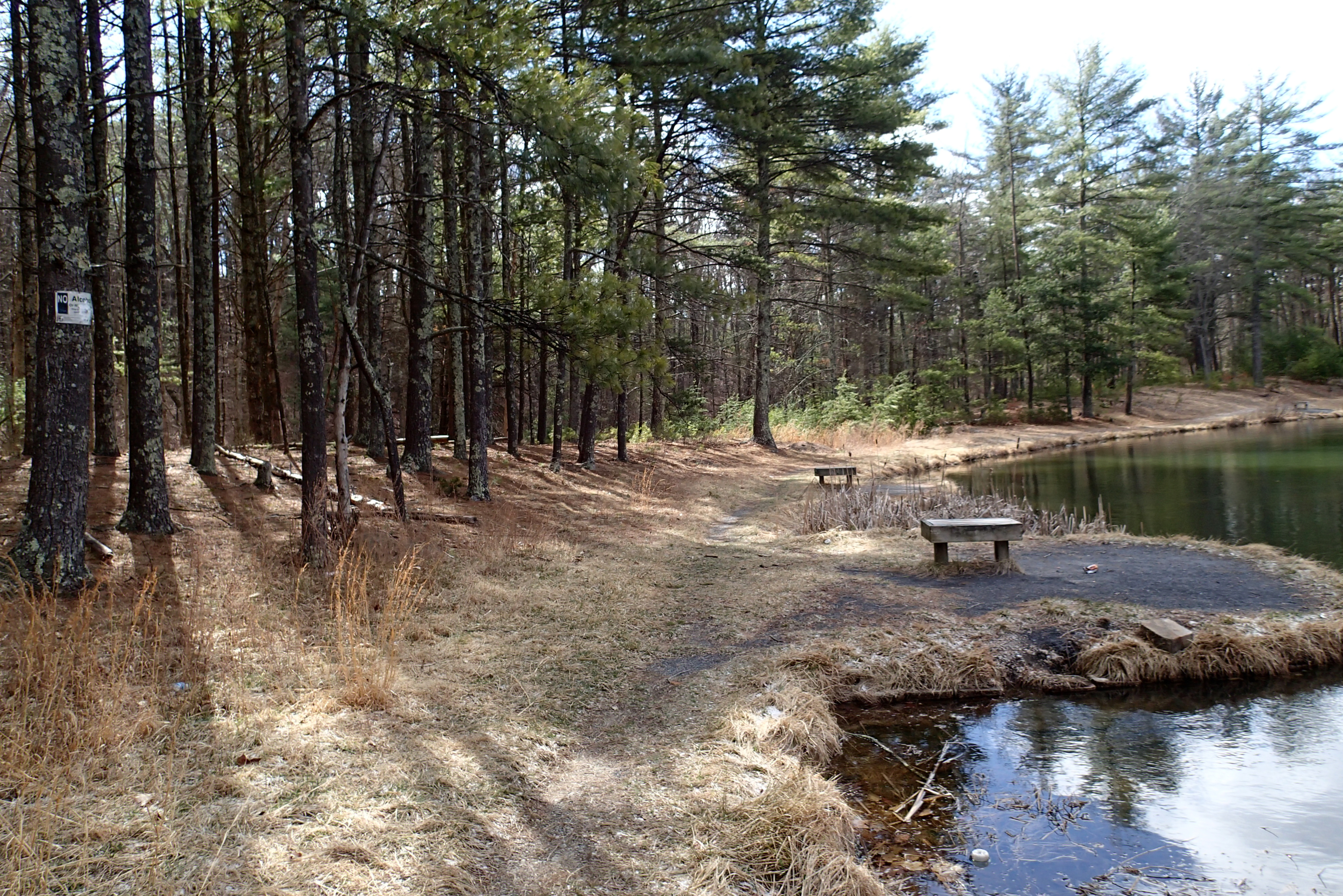
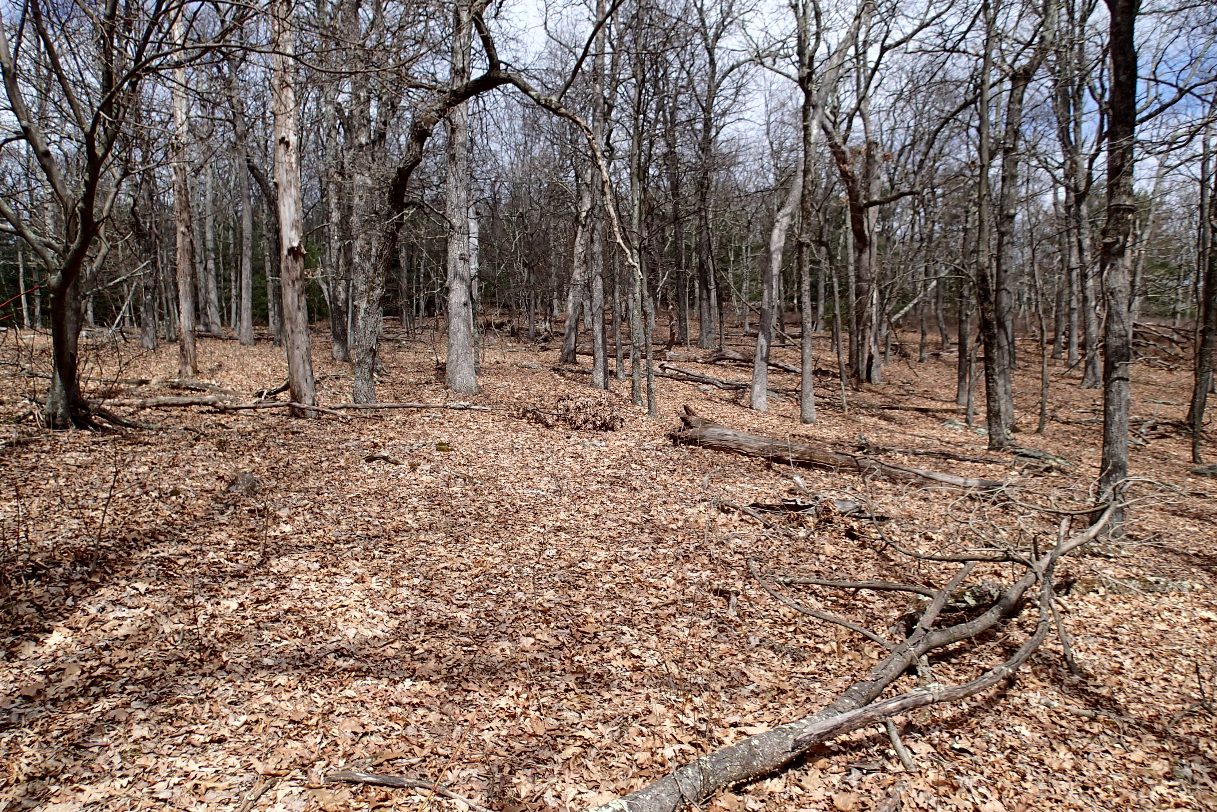
P3285504 04 Jct View Ahead at Tomahawk Pond Tr and Benches
P3285603 06 Jct View Looking Back
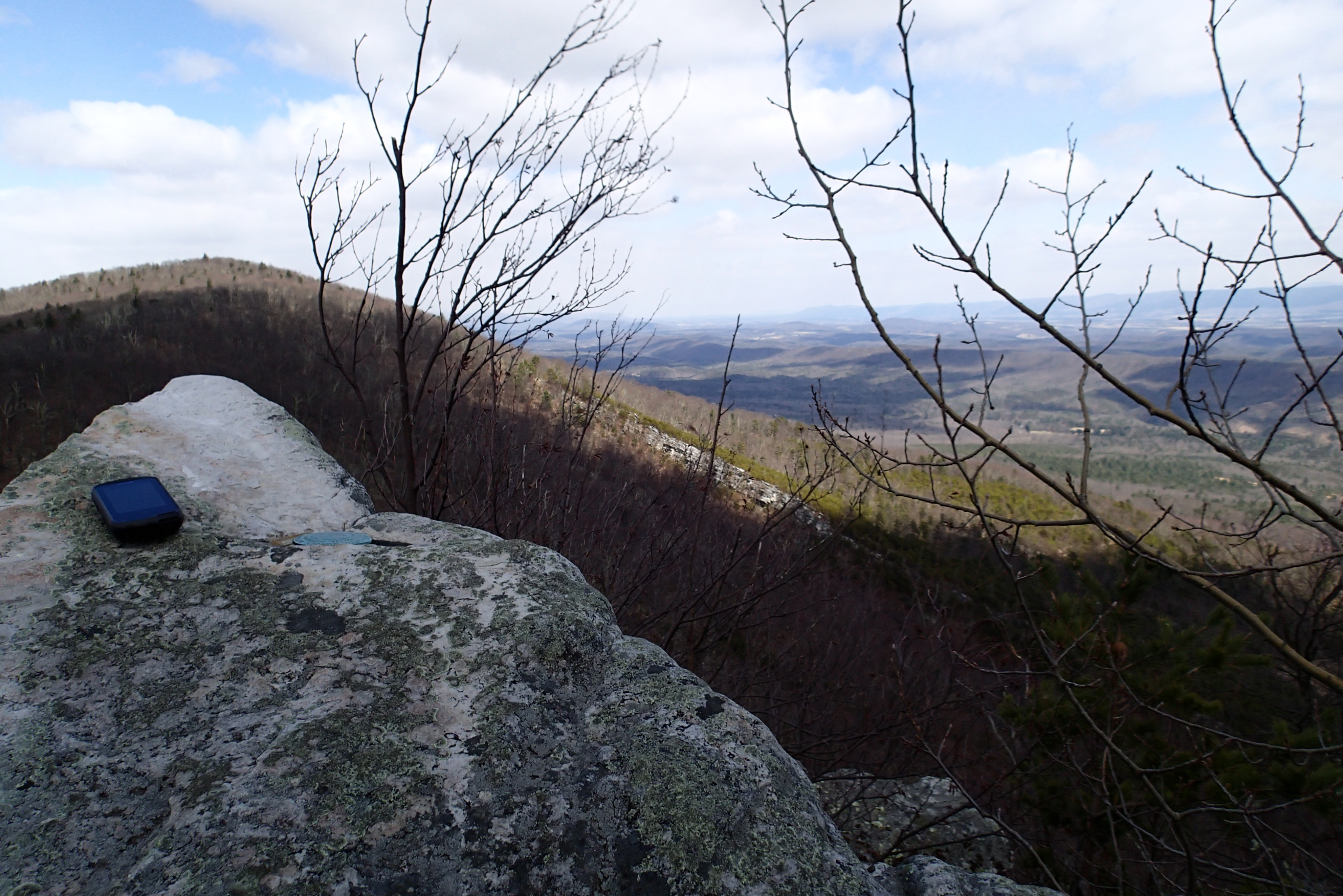
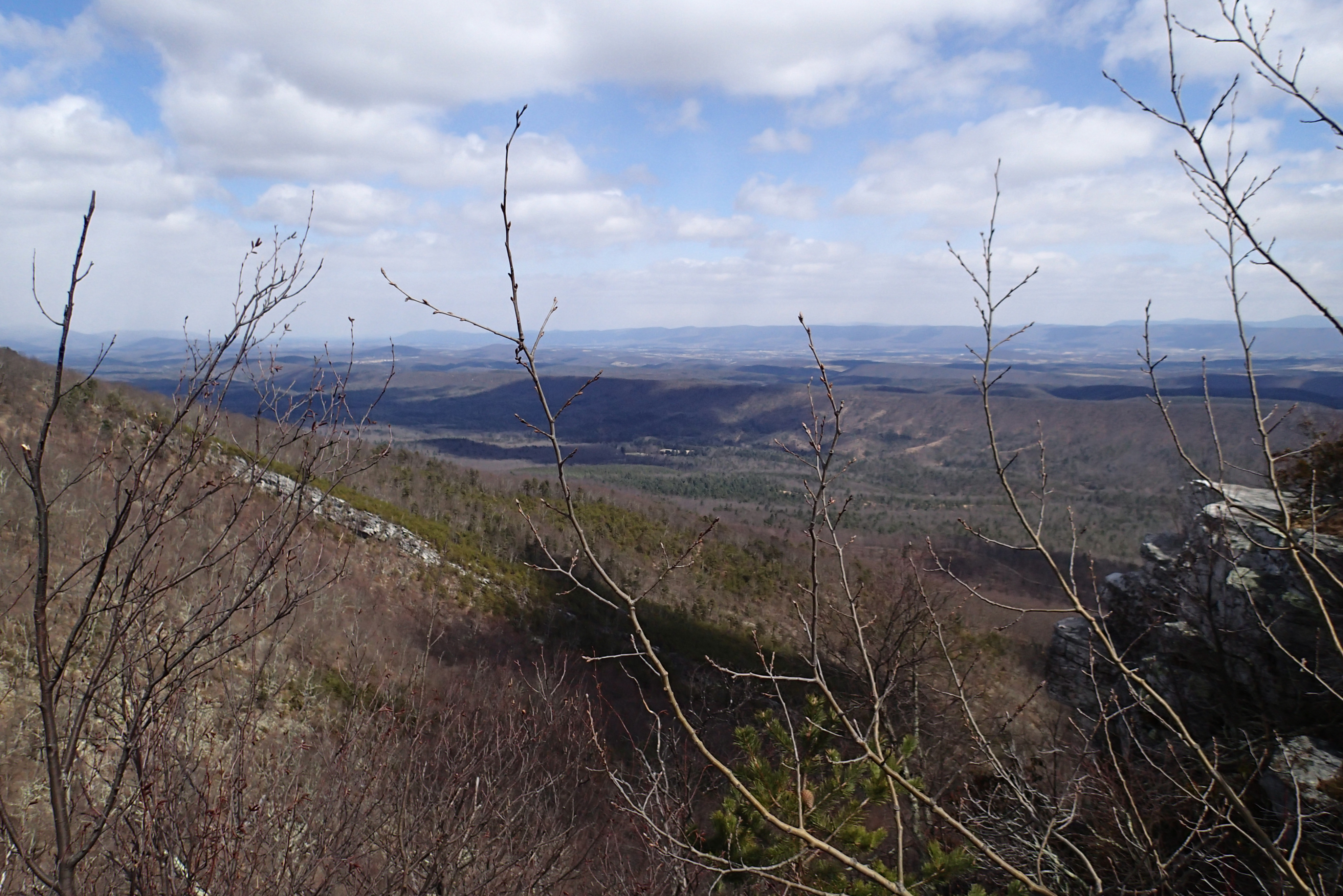
P3295621 10 Church Rock View
P3285610 08 Jct View Looking Left
P3285611 08 Jct View Looking Right
P3285503 04 Jct View Forest Road
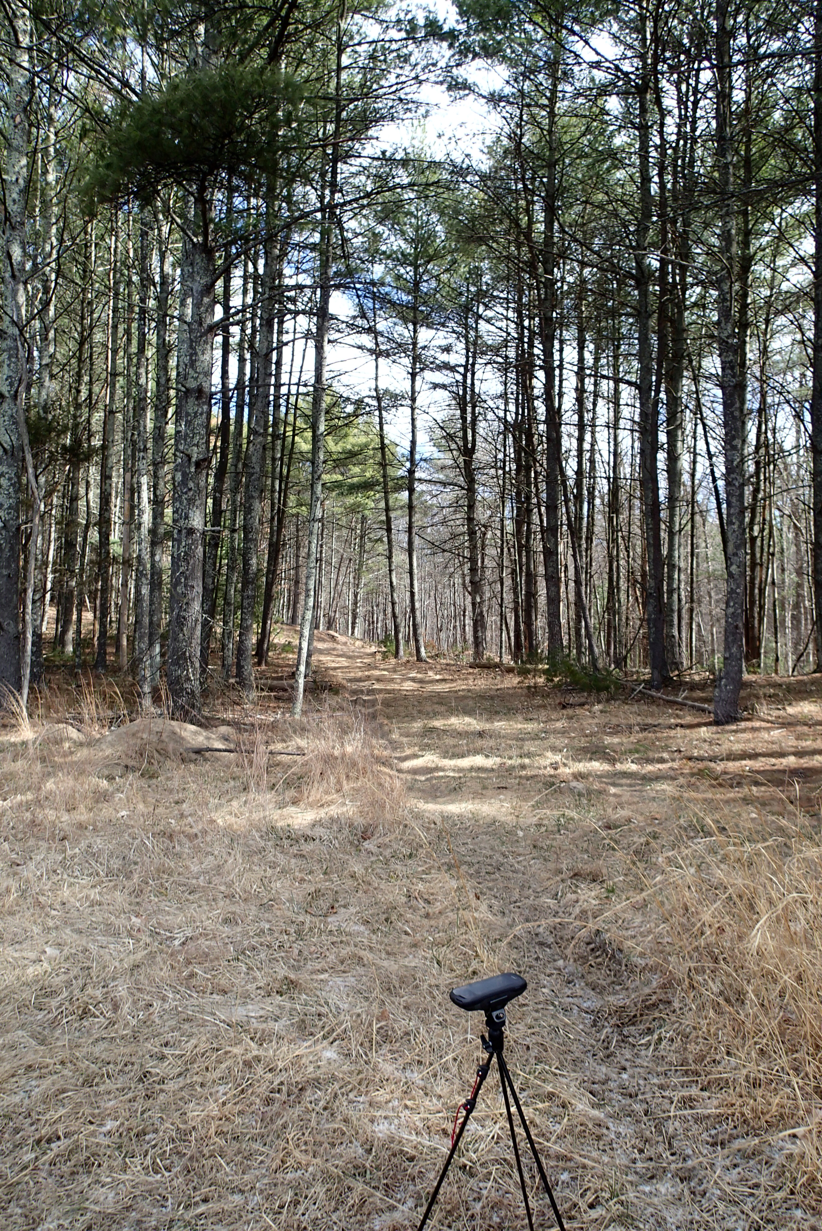
P3285524 08 TH View to Pond
P3285605 06 Jct View Looking at Social Short Cut
P3295628 10 Church Rock View Right
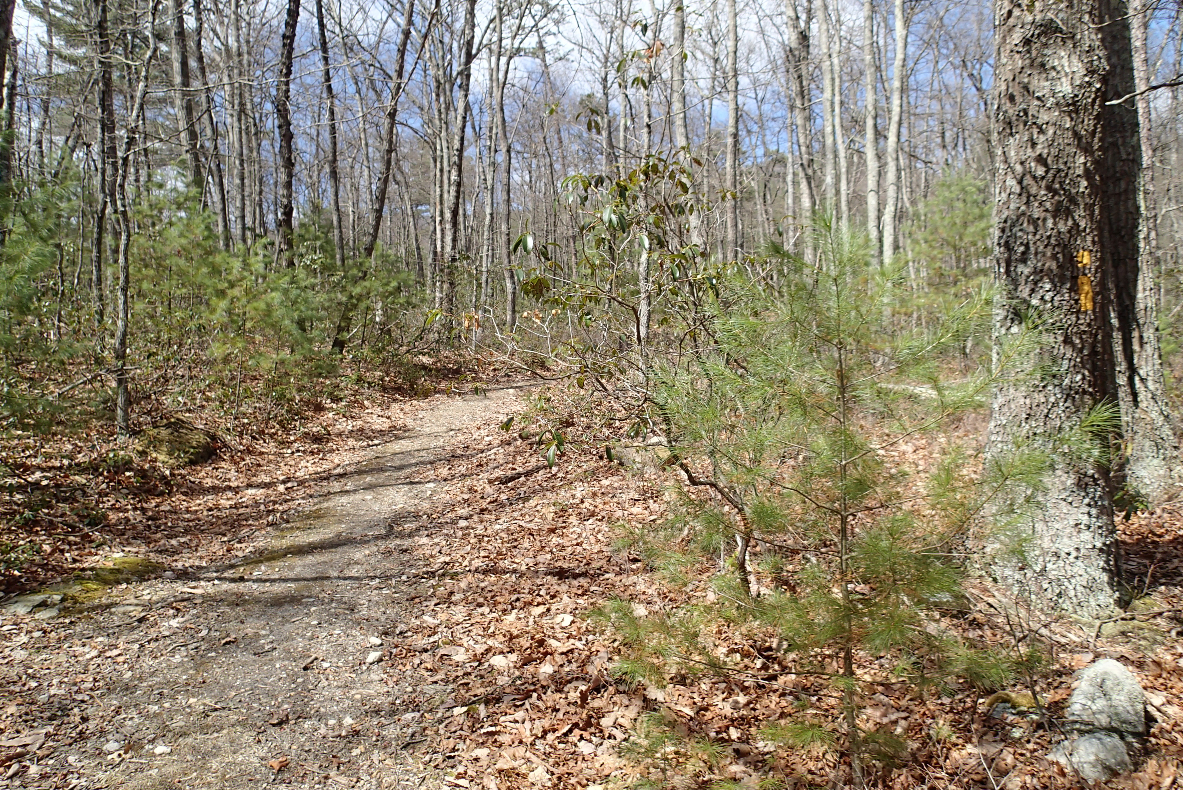
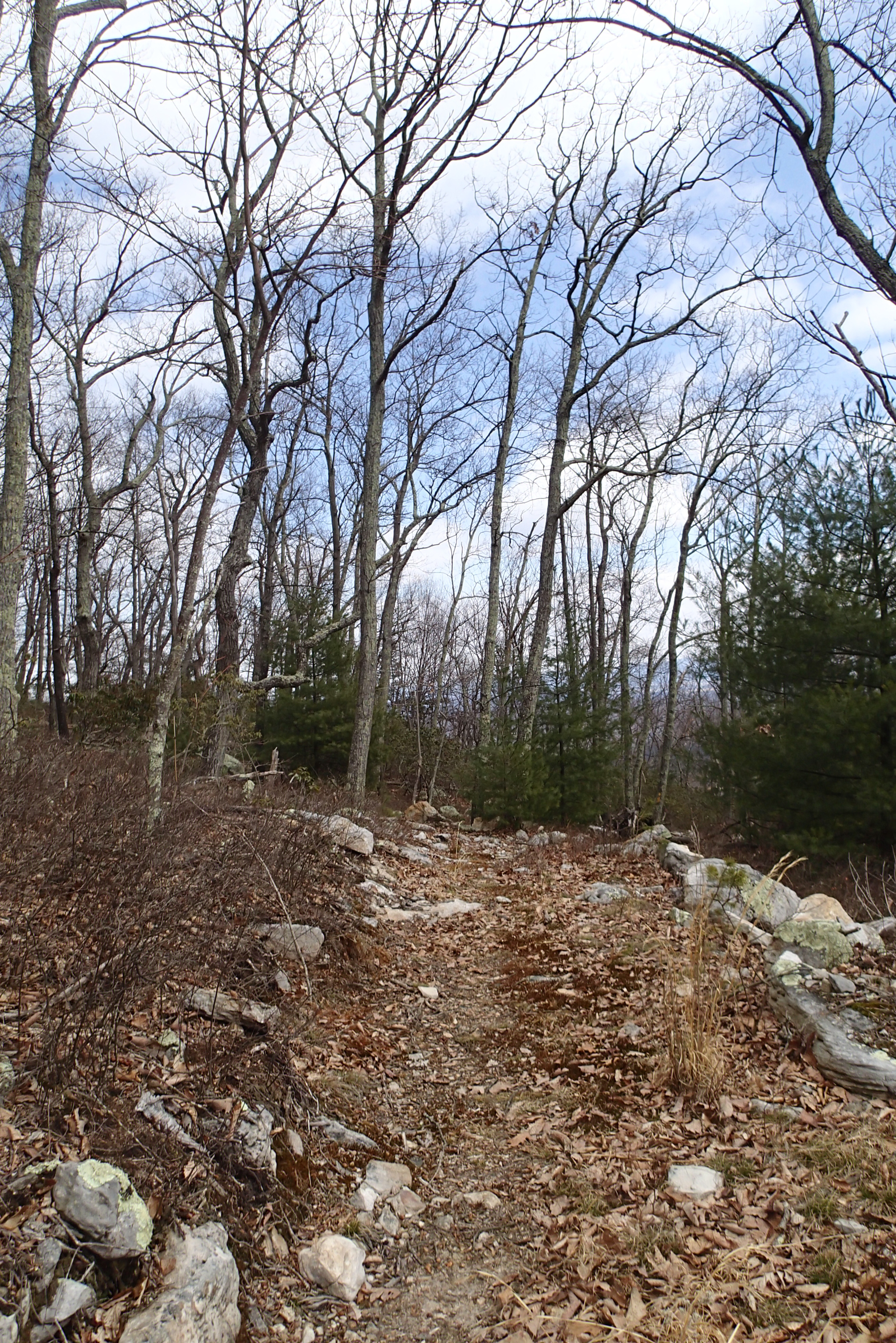
P3285596 04 Jct View Church Rock Tr

DSC01175 003 View Great North Mtn facing north

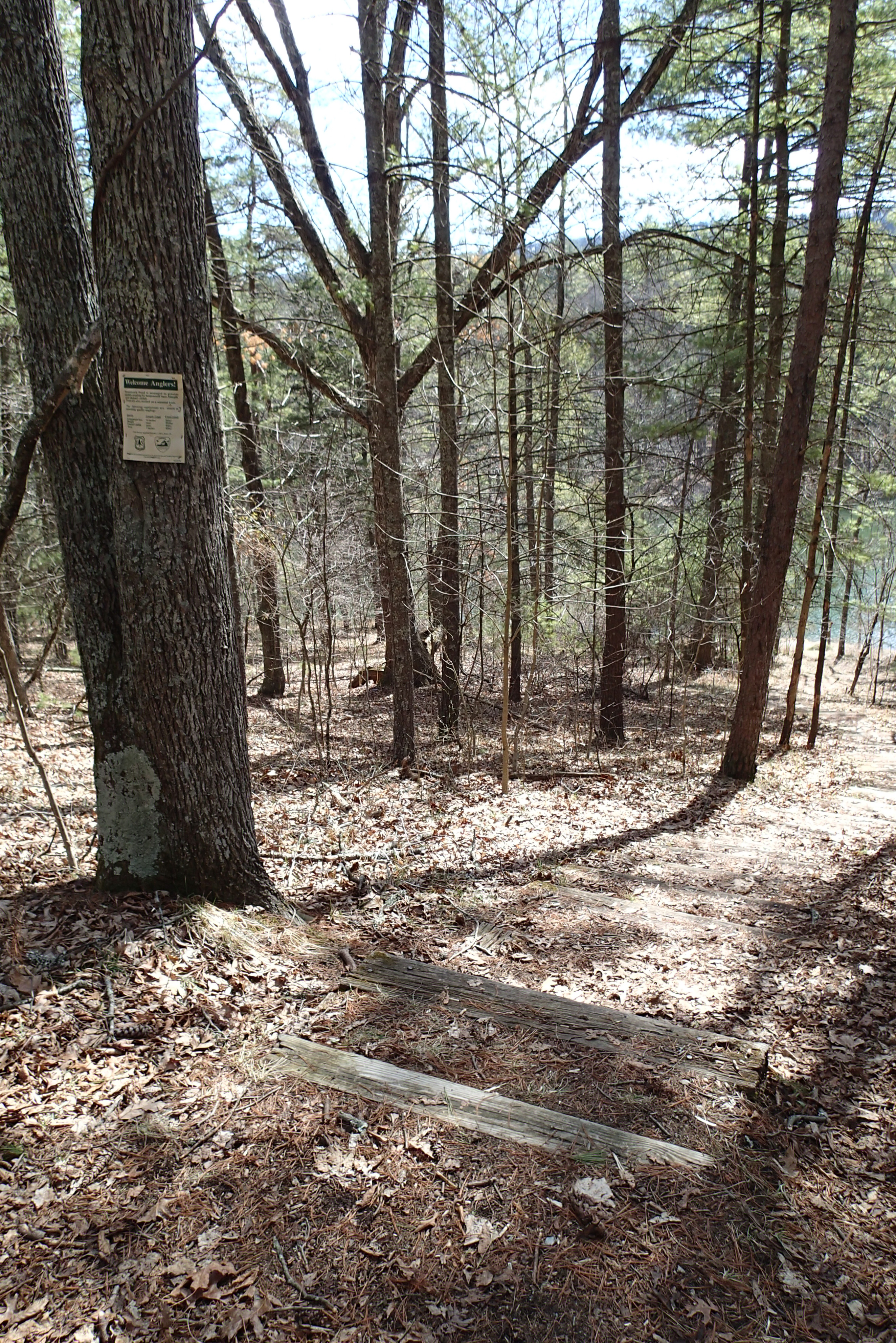
P3285517 07 Jct View South Parking Access
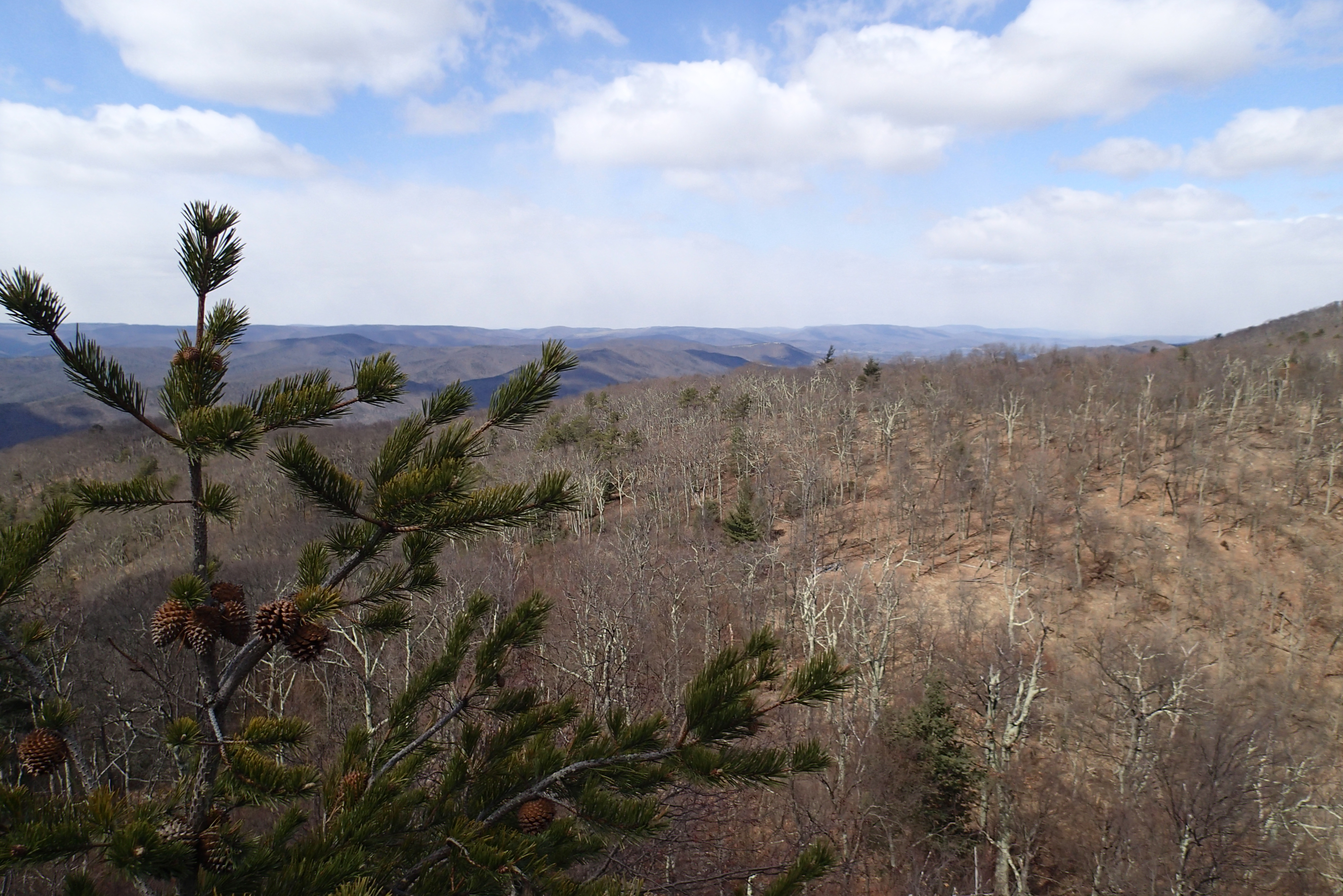
P3295624 10 Church Rock View Left-Center
P3285496 03 Jct View Looking Back at Access Tr
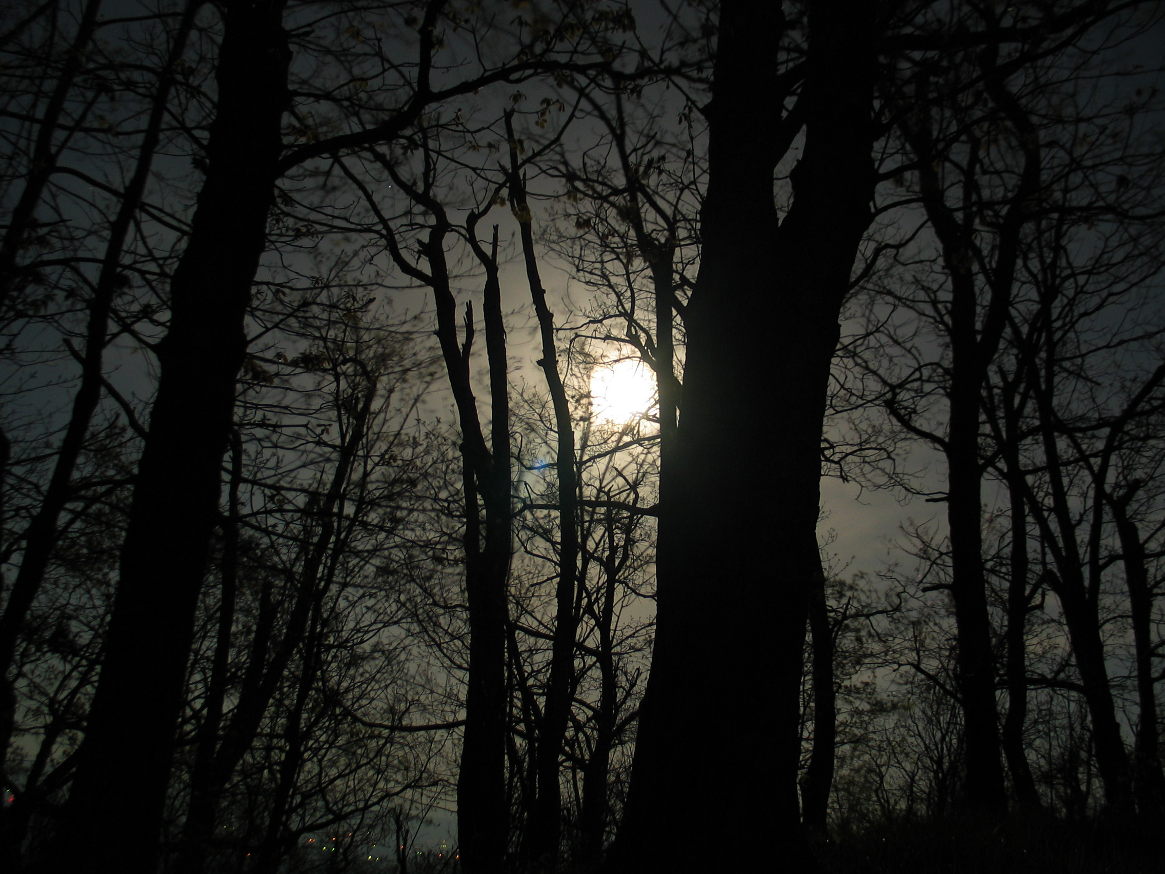
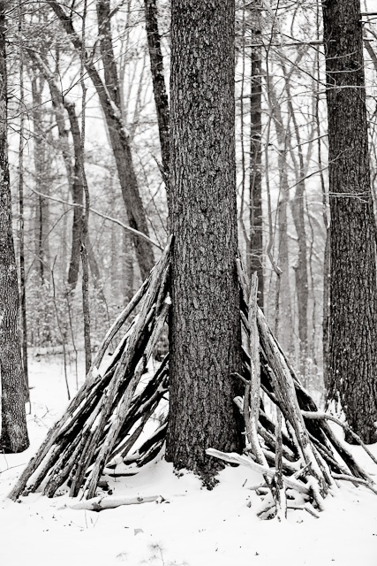
Moon Through Trees
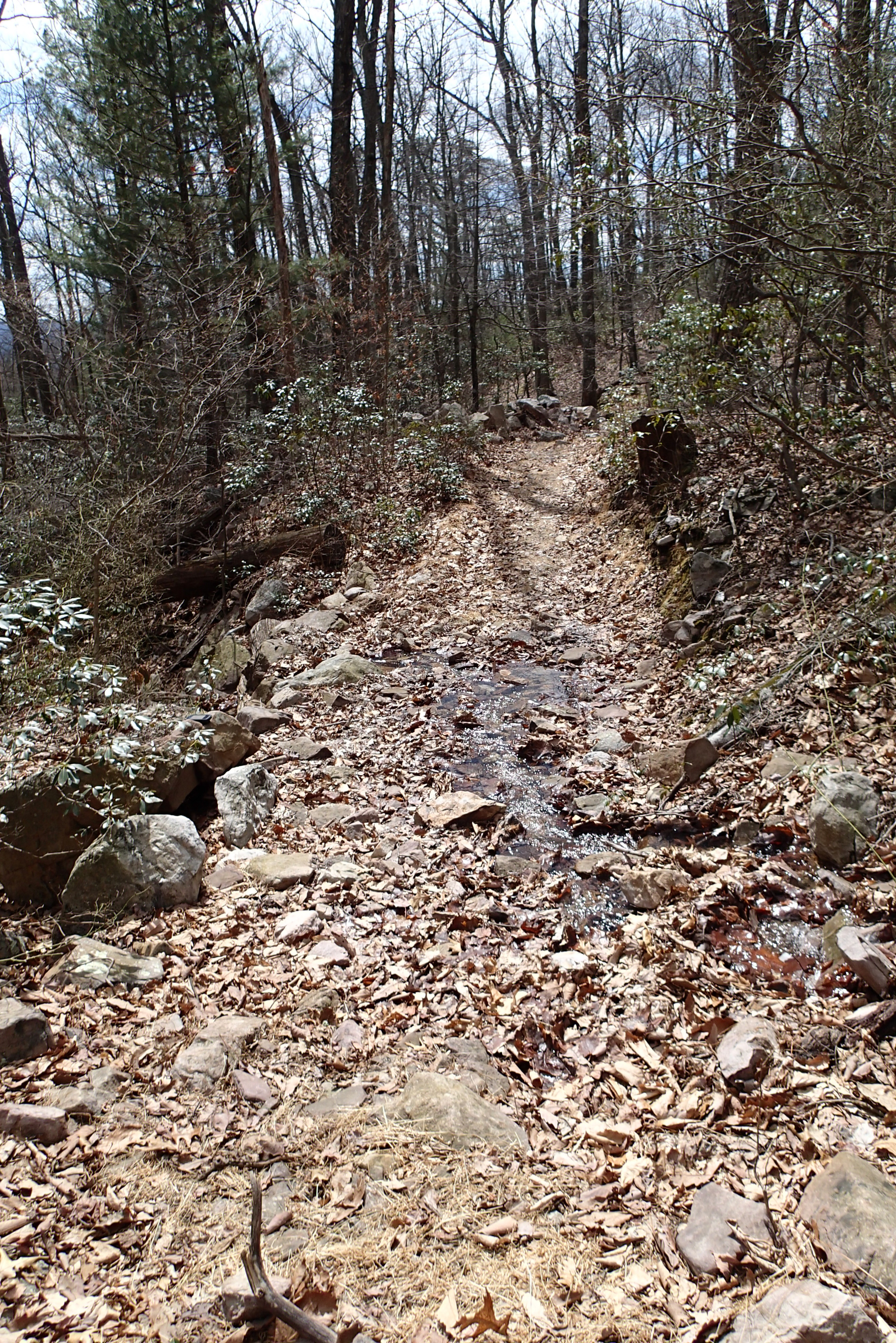
P3285600 05 Stream Crossing View Looking Back

Photo Op
North mt
PDRM0570.JPG

2009 Parish Rereat-17
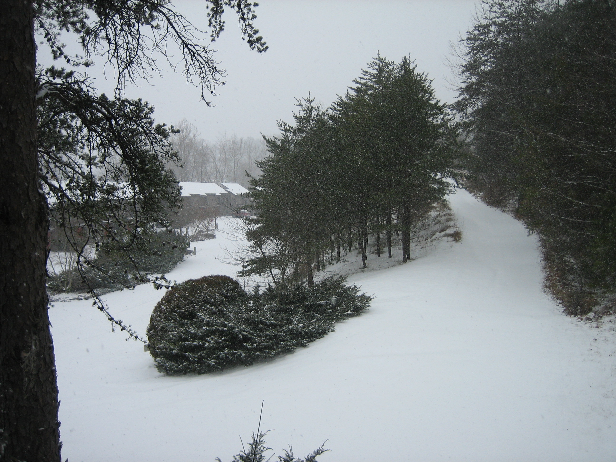
Snow at Chalet High
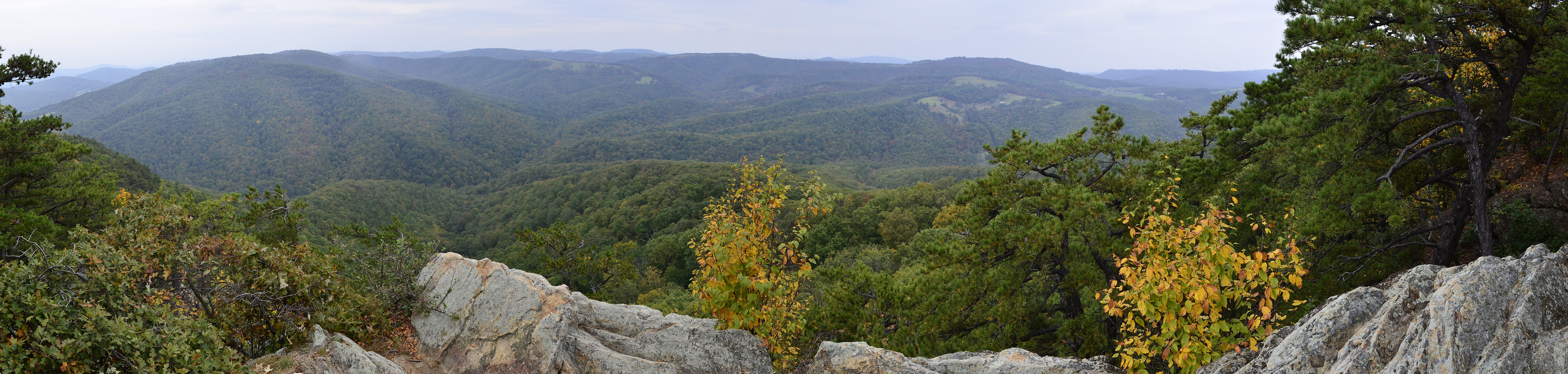
West VA 121001_103 pan s
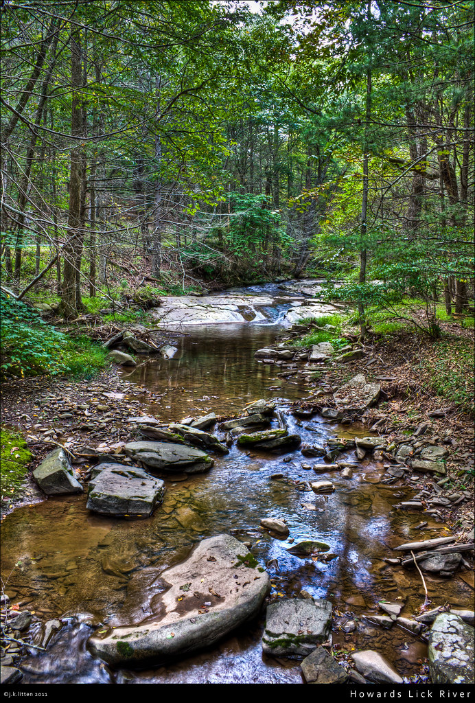
Howards Lick River

20090307-_MG_9669

Toad, Highland Retreat, Bergton, Virginia
20090307-_MG_9667
From a Road I'm Not Supposed To Drive On
Shrine Mont
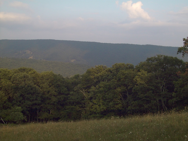
Field on top of the mountains
20090127-_MG_0145
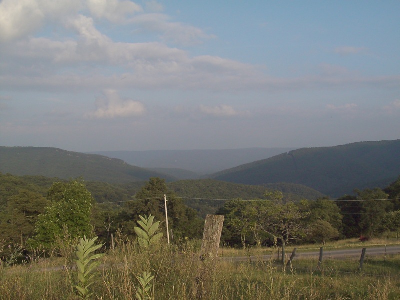
Mountains above farm
Lost River Trails
Topographic Map of Fallbush Mountain Dr, Mathias, WV, USA
Find elevation by address:

Places near Fallbush Mountain Dr, Mathias, WV, USA:
Stultz Lane
Moyers Lane
20898 Souder Ln
Mattie Snyder Road
19592 Clem Hollow Ln
18304 Crab Run Rd
564 Delta Rd 2
29292 Arbuckle Rd
17938 Crab Run Rd
18140 Bergton Rd
16979 Bergton Rd
Highland Retreat
16633 Bergton Rd
Bergton
21555 Overly Hollow
Plains
23148 Overly Hollow
23049 Overly Hollow
21934 Bennett Run Rd
Criders
Recent Searches:
- Elevation of Lagasgasan, X+CQH, Tiaong, Quezon, Philippines
- Elevation of Rojo Ct, Atascadero, CA, USA
- Elevation of Flagstaff Drive, Flagstaff Dr, North Carolina, USA
- Elevation of Avery Ln, Lakeland, FL, USA
- Elevation of Woolwine, VA, USA
- Elevation of Lumagwas Diversified Farmers Multi-Purpose Cooperative, Lumagwas, Adtuyon, RV32+MH7, Pangantucan, Bukidnon, Philippines
- Elevation of Homestead Ridge, New Braunfels, TX, USA
- Elevation of Orchard Road, Orchard Rd, Marlborough, NY, USA
- Elevation of 12 Hutchinson Woods Dr, Fletcher, NC, USA
- Elevation of Holloway Ave, San Francisco, CA, USA