Elevation of Deen's Landing Road, Deen's Landing Rd, Georgia, USA
Location: United States > Georgia > Appling County > Baxley >
Longitude: -82.379577
Latitude: 31.9399011
Elevation: 36m / 118feet
Barometric Pressure: 101KPa
Elevation Map:
Satellite Map:
Related Photos:
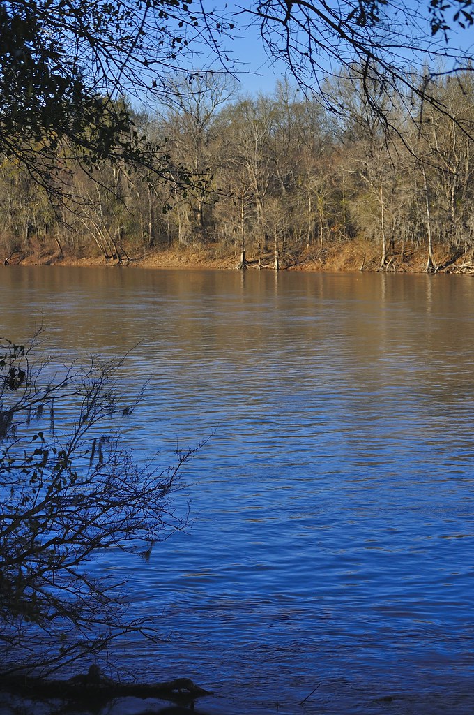
Altamaha River

Camp Ground3
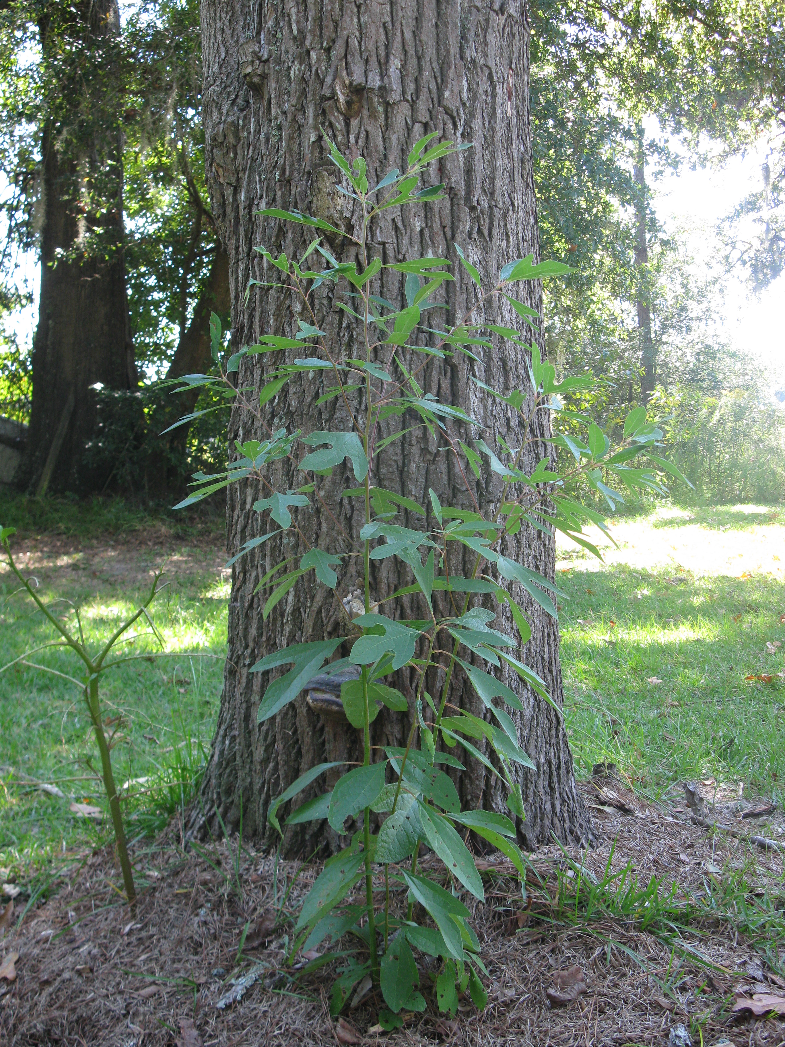
Sassafras Plant
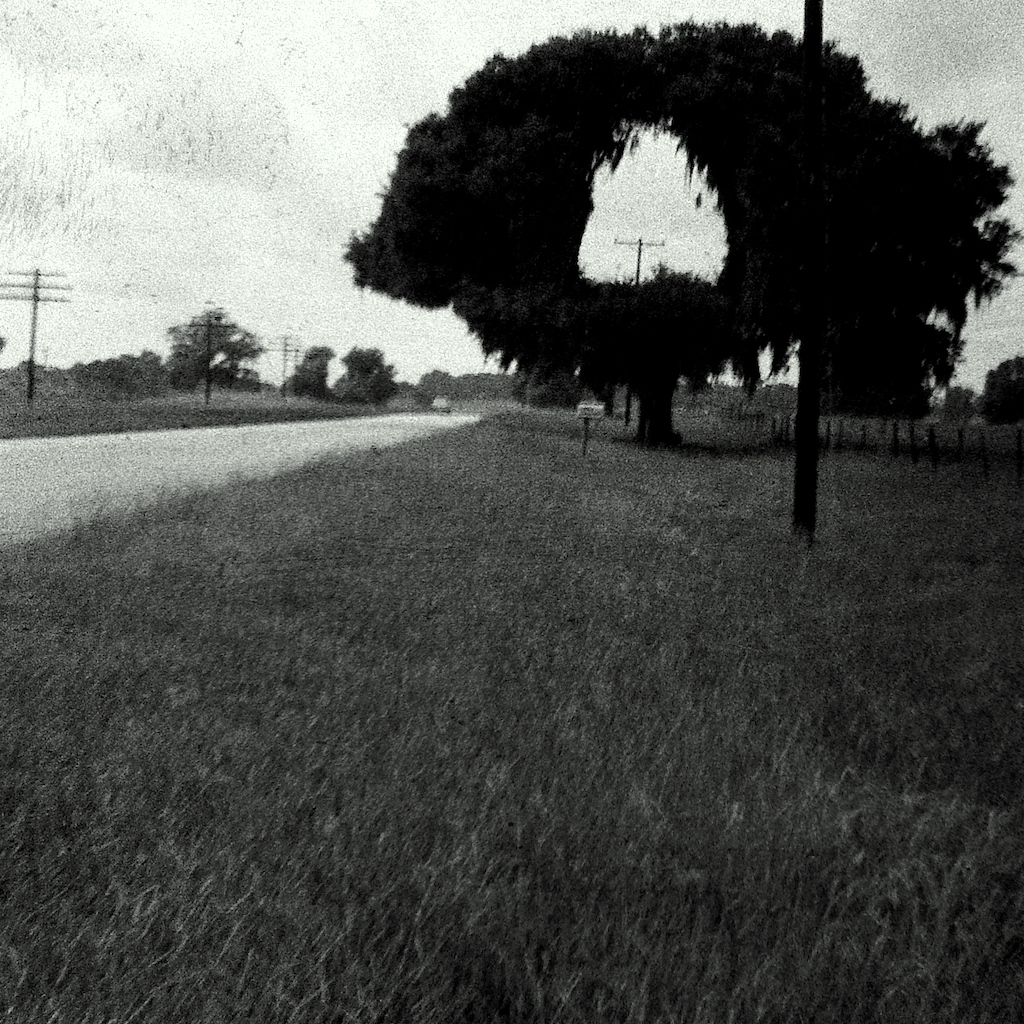
Hole in One
Topographic Map of Deen's Landing Road, Deen's Landing Rd, Georgia, USA
Find elevation by address:

Places near Deen's Landing Road, Deen's Landing Rd, Georgia, USA:
Spring Branch Rd, Baxley, GA, USA
Ginger Farm Road
359 Yawn Rd
Davis Landing, Baxley, GA, USA
Toombs County
Bell Dr, Baxley, GA, USA
Golden Isles W, Baxley, GA, USA
Altamaha River Road
1260 Three Rivers Ln
1260 Three Rivers Ln
Uvalda
83 Hollis St
313 W Myrtle St
Graham
22 Graham Zoar Rd, Hazlehurst, GA, USA
Baxley
218 Fair St
162 Three Rivers Ln
GA-, Uvalda, GA, USA
Alston
Recent Searches:
- Elevation of Groblershoop, South Africa
- Elevation of Power Generation Enterprises | Industrial Diesel Generators, Oak Ave, Canyon Country, CA, USA
- Elevation of Chesaw Rd, Oroville, WA, USA
- Elevation of N, Mt Pleasant, UT, USA
- Elevation of 6 Rue Jules Ferry, Beausoleil, France
- Elevation of Sattva Horizon, 4JC6+G9P, Vinayak Nagar, Kattigenahalli, Bengaluru, Karnataka, India
- Elevation of Great Brook Sports, Gold Star Hwy, Groton, CT, USA
- Elevation of 10 Mountain Laurels Dr, Nashua, NH, USA
- Elevation of 16 Gilboa Ln, Nashua, NH, USA
- Elevation of Laurel Rd, Townsend, TN, USA