Elevation of GA-, Uvalda, GA, USA
Location: United States > Georgia > Montgomery County > Alston >
Longitude: -82.477295
Latitude: 32.0800202
Elevation: 75m / 246feet
Barometric Pressure: 100KPa
Elevation Map:
Satellite Map:
Related Photos:
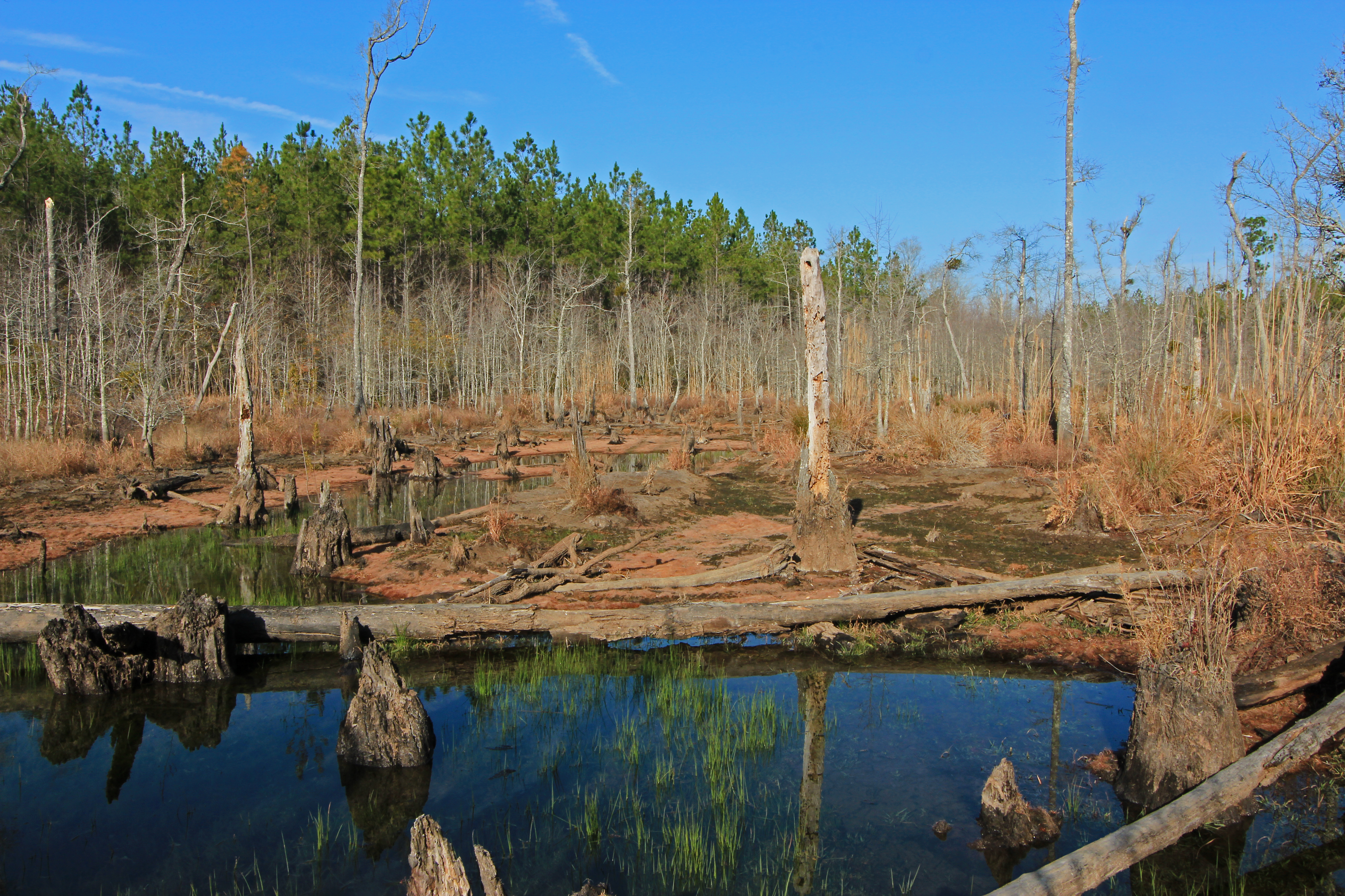
beaver pond, Cobb Creek, at Highway 130, Toombs County, Georgia 1

Barn n Field

Skyway …

Old Barn

Hay …
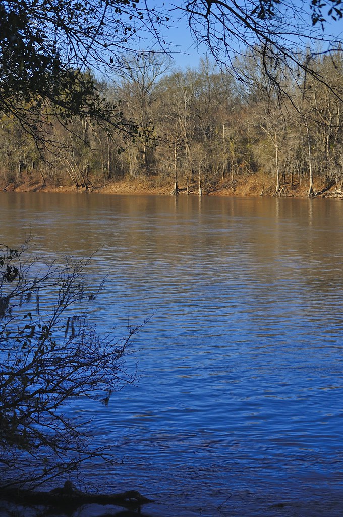
Altamaha River

Deep forest …
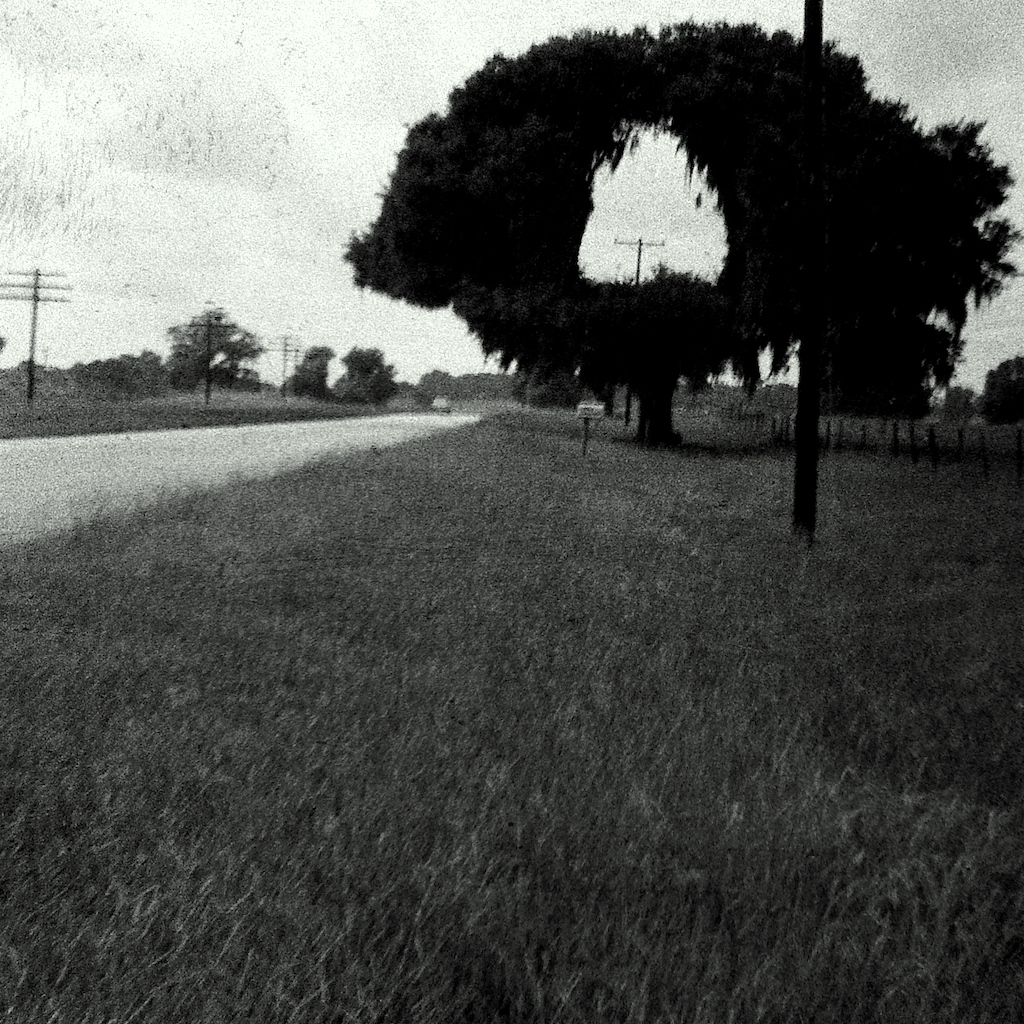
Hole in One

Camp Ground3

Shrub …
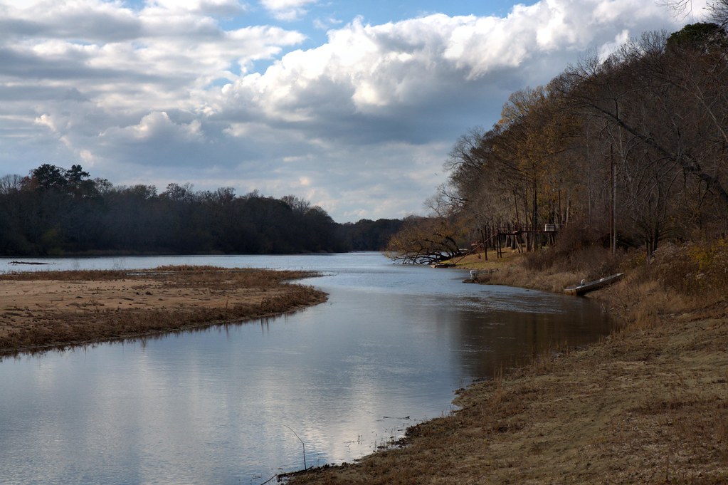
Gray's Landing, Toombs County

A field of dead sunflowers …
Topographic Map of GA-, Uvalda, GA, USA
Find elevation by address:

Places near GA-, Uvalda, GA, USA:
Alston
313 W Myrtle St
Uvalda
US-, Mt Vernon, GA, USA
GA-29, Vidalia, GA, USA
Co Rd, Ailey, GA, USA
Montgomery County
162 Three Rivers Ln
Altamaha River Road
1260 Three Rivers Ln
1260 Three Rivers Ln
Toombs County
James St, Ailey, GA, USA
Ailey
S Railroad St, Ailey, GA, USA
118 Gum St
831 Morris Rd
210 Rabbit Run
405 Kenworth St
Brice Dr, Vidalia, GA, USA
Recent Searches:
- Elevation of Elwyn Dr, Roanoke Rapids, NC, USA
- Elevation of Congressional Dr, Stevensville, MD, USA
- Elevation of Bellview Rd, McLean, VA, USA
- Elevation of Stage Island Rd, Chatham, MA, USA
- Elevation of Shibuya Scramble Crossing, 21 Udagawacho, Shibuya City, Tokyo -, Japan
- Elevation of Jadagoniai, Kaunas District Municipality, Lithuania
- Elevation of Pagonija rock, Kranto 7-oji g. 8"N, Kaunas, Lithuania
- Elevation of Co Rd 87, Jamestown, CO, USA
- Elevation of Tenjo, Cundinamarca, Colombia
- Elevation of Côte-des-Neiges, Montreal, QC H4A 3J6, Canada