Elevation map of Dedza, Malawi
Location: Malawi > Central Region >
Longitude: 34.2421597
Latitude: -14.189458
Elevation: 1469m / 4820feet
Barometric Pressure: 85KPa
Elevation Map:
Satellite Map:
Related Photos:

Pasture
IMG_7082


DSC05905

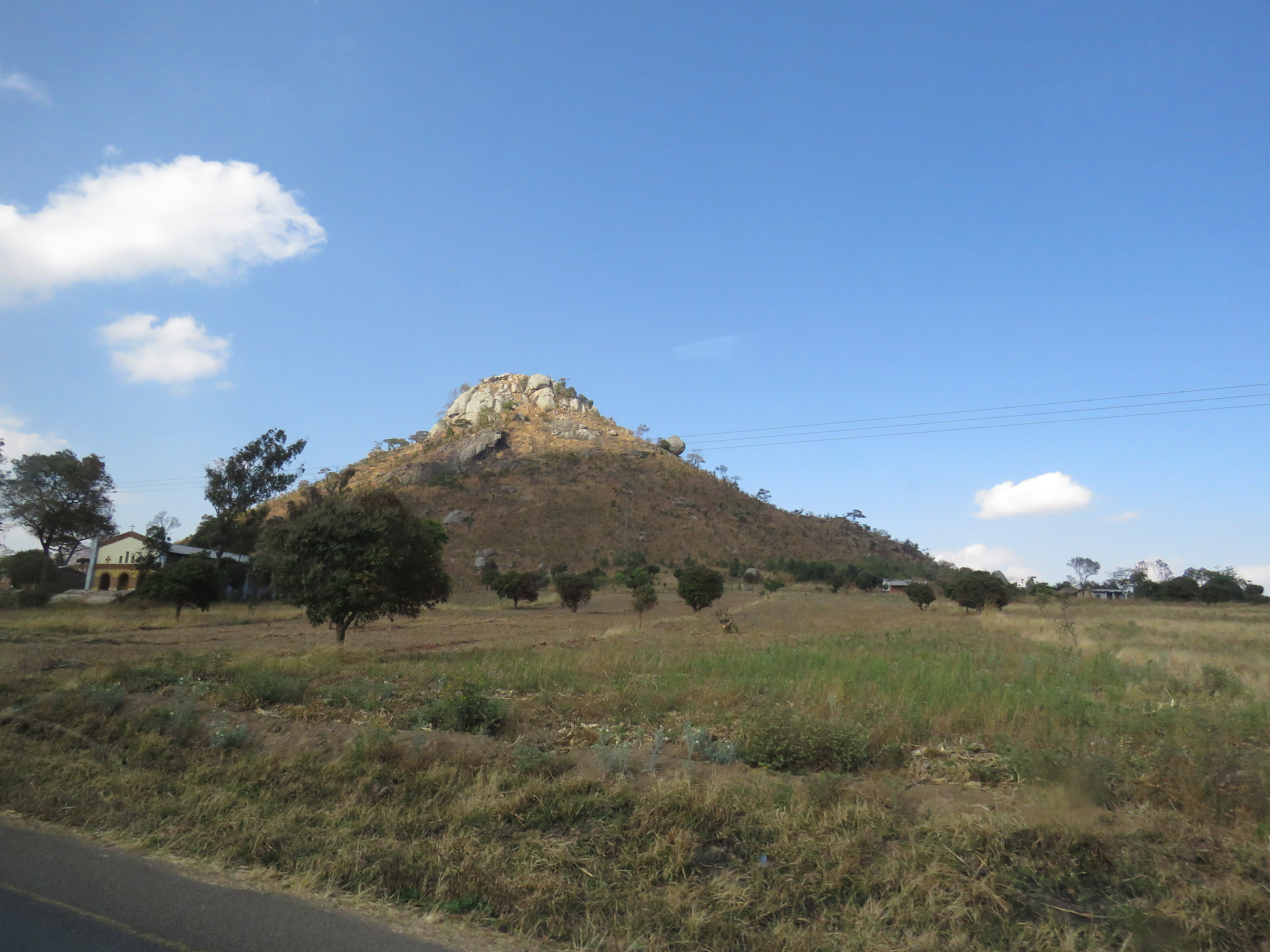
Along the road in Malawi

23 April, 11.51
Topographic Map of Dedza, Malawi
Find elevation by address:

Places in Dedza, Malawi:
Places near Dedza, Malawi:
Chongoni Rock Art Area
Dedza
Golomoti
Lake Malawi
Lake Malawi National Park Office
Mangochi
Nkaya Station
Southern Region
Recent Searches:
- Elevation of 7 Waterfall Way, Tomball, TX, USA
- Elevation of SW 57th Ave, Portland, OR, USA
- Elevation of Crocker Dr, Vacaville, CA, USA
- Elevation of Pu Ngaol Community Meeting Hall, HWHM+3X7, Krong Saen Monourom, Cambodia
- Elevation of Royal Ontario Museum, Queens Park, Toronto, ON M5S 2C6, Canada
- Elevation of Groblershoop, South Africa
- Elevation of Power Generation Enterprises | Industrial Diesel Generators, Oak Ave, Canyon Country, CA, USA
- Elevation of Chesaw Rd, Oroville, WA, USA
- Elevation of N, Mt Pleasant, UT, USA
- Elevation of 6 Rue Jules Ferry, Beausoleil, France