Elevation of Chongoni Rock Art Area, Malawi
Location: Malawi > Central Region > Dedza >
Longitude: 34.1963889
Latitude: -14.223055
Elevation: 1852m / 6076feet
Barometric Pressure: 81KPa
Elevation Map:
Satellite Map:
Related Photos:

Pasture

DSC05922

Potato Harvesting at a Demonstration Plot in Dedza District, Malawi

Potato Harvesting at a Demonstration Plot in Dedza District, Malawi

23 April, 11.51

171 Dusk as we near Lilongwe P1000927

170 The oldest bridge in Malawi, near Lilongwe P1000923
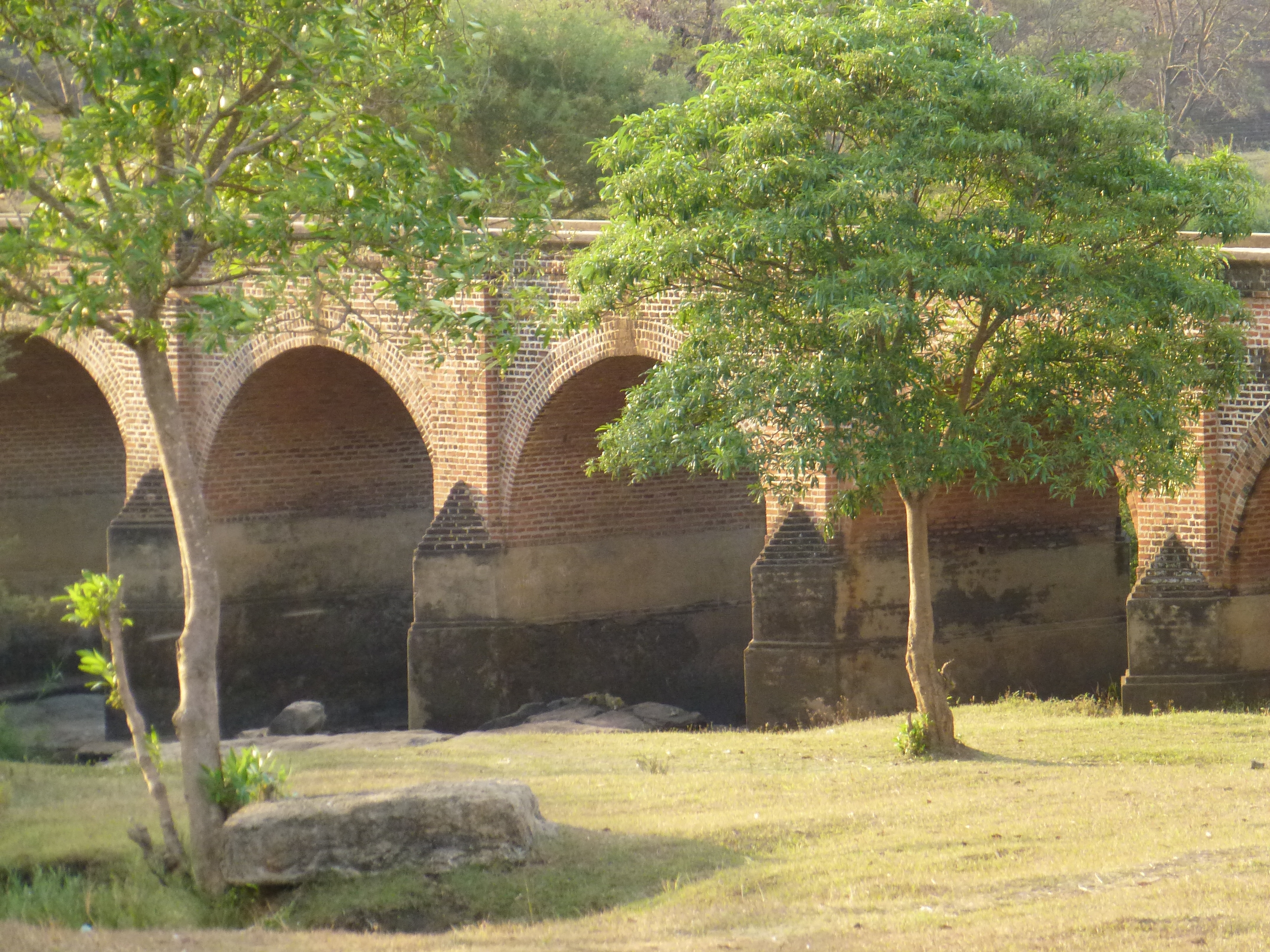
169 The oldest bridge in Malawi, near Lilongwe P1000922

Along the road in Malawi
Topographic Map of Chongoni Rock Art Area, Malawi
Find elevation by address:

Places near Chongoni Rock Art Area, Malawi:
Dedza
Dedza
Golomoti
Lake Malawi
Lake Malawi National Park Office
Mangochi
Nkaya Station
Southern Region
Recent Searches:
- Elevation of Tenjo, Cundinamarca, Colombia
- Elevation of Côte-des-Neiges, Montreal, QC H4A 3J6, Canada
- Elevation of Bobcat Dr, Helena, MT, USA
- Elevation of Zu den Ihlowbergen, Althüttendorf, Germany
- Elevation of Badaber, Peshawar, Khyber Pakhtunkhwa, Pakistan
- Elevation of SE Heron Loop, Lincoln City, OR, USA
- Elevation of Slanický ostrov, 01 Námestovo, Slovakia
- Elevation of Spaceport America, Co Rd A, Truth or Consequences, NM, USA
- Elevation of Warwick, RI, USA
- Elevation of Fern Rd, Whitmore, CA, USA