Elevation of Debert, NS B0M, Canada
Location: Canada > Nova Scotia > Colchester County > Colchester, Subd. A >
Longitude: -63.458301
Latitude: 45.4377218
Elevation: 51m / 167feet
Barometric Pressure: 101KPa
Elevation Map:
Satellite Map:
Related Photos:
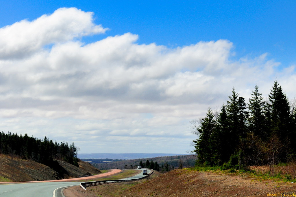
On the Road 1of2 (20080512-105636-PJG)

church.
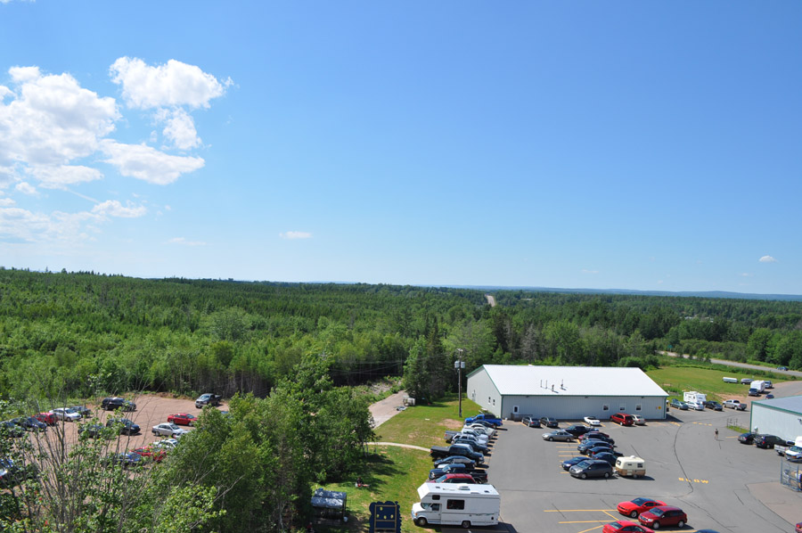
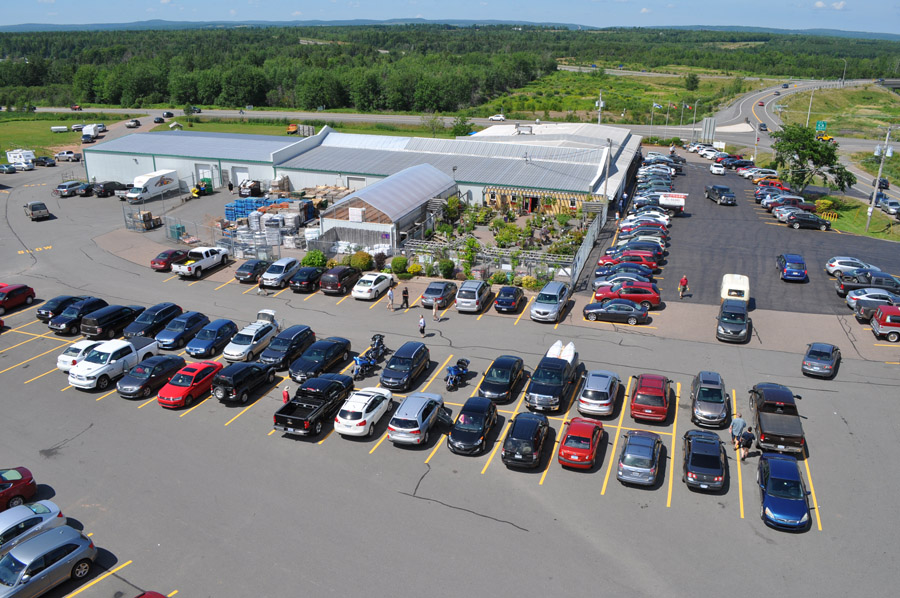
View from the lighthouse

View from the lighthouse
View from the lighthouse

View from the lighthouse

Truro Bearcat

Truro Carvings

Lawrence Museum Wetlands
The fish again

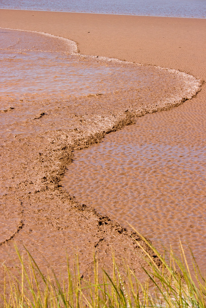
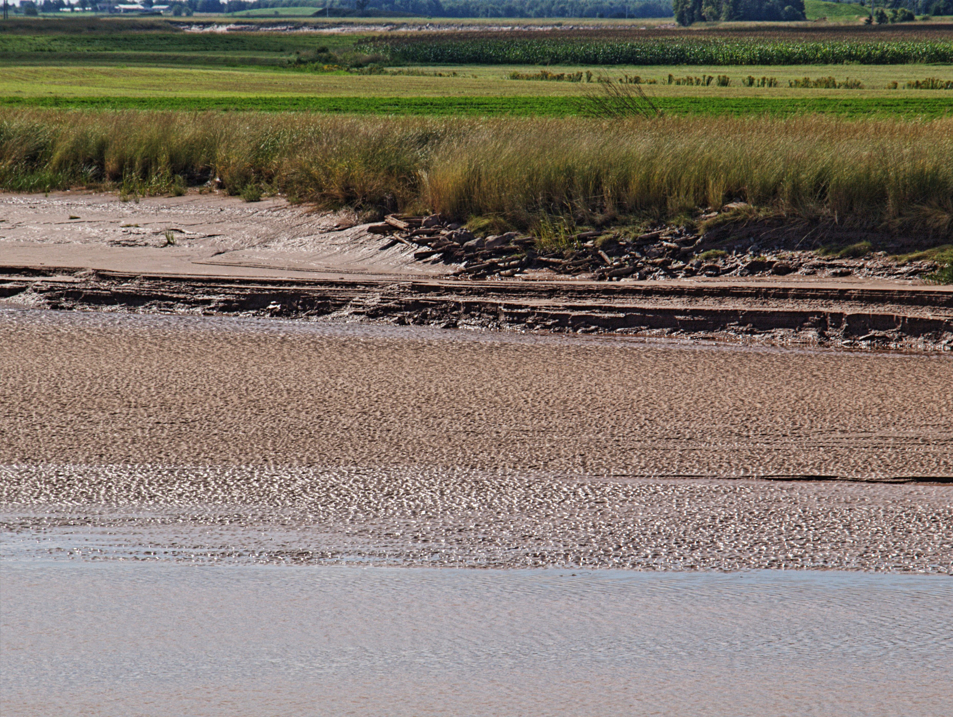
Fundy Mud as seen along the Cobequid trail in Truro

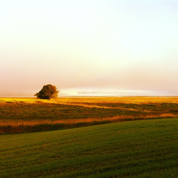
The farm on the hill
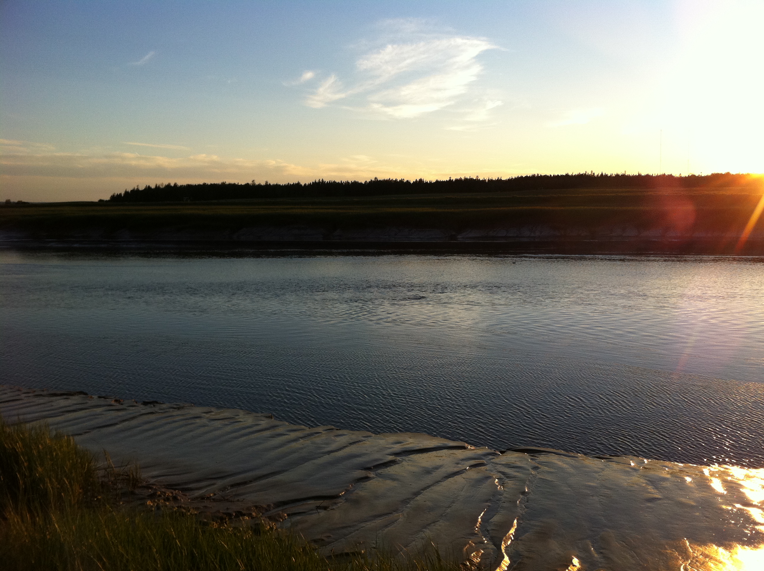
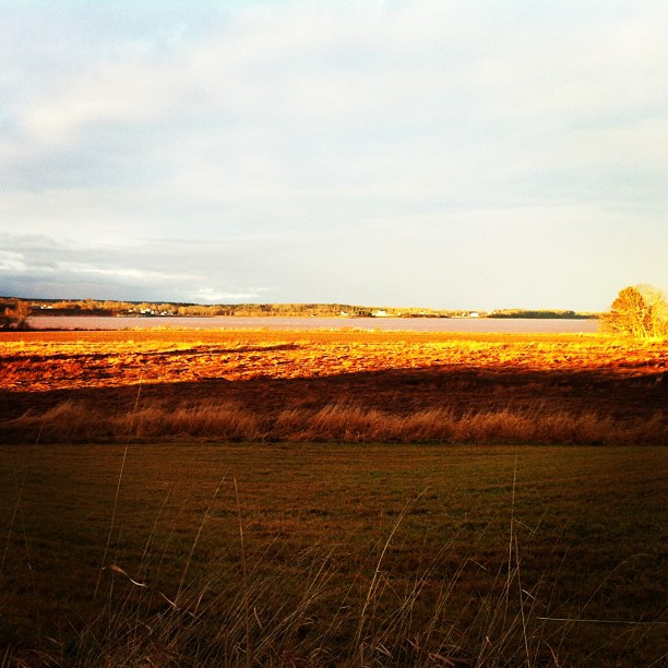
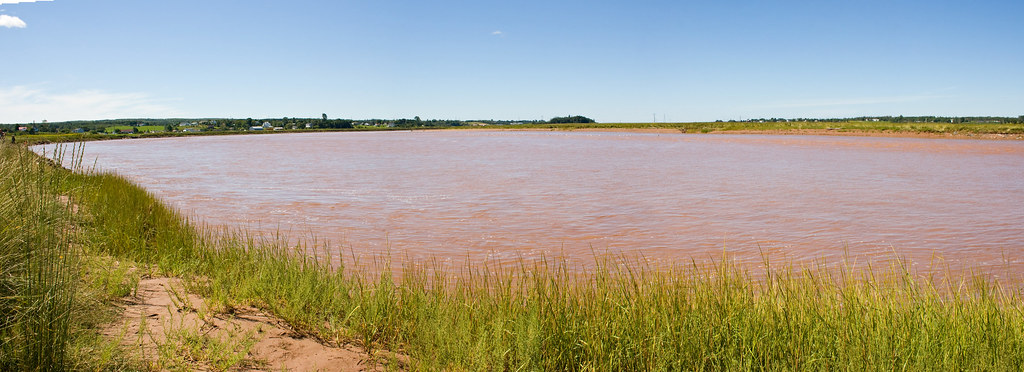
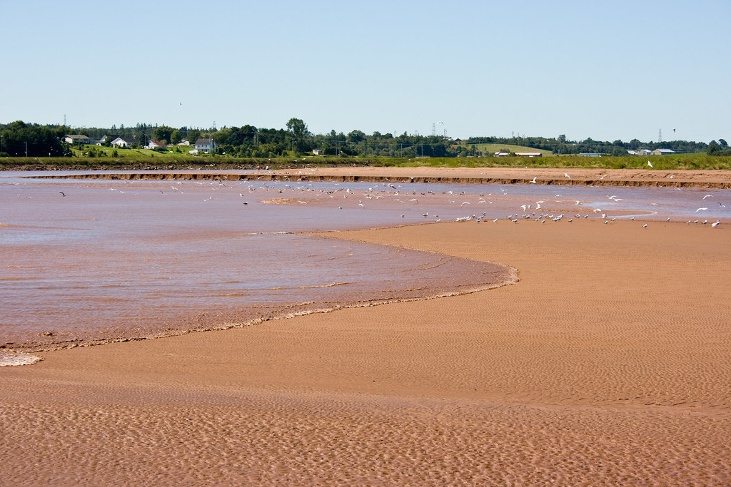
Early morning, Cobequid Bay
Where the Shubenacadie River meets the Cobequid Bay
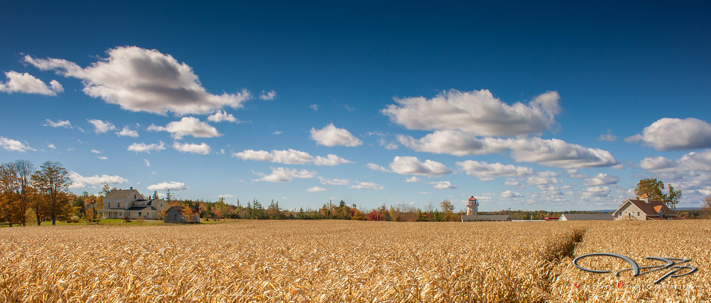
Corn Field

project 365 - january 31
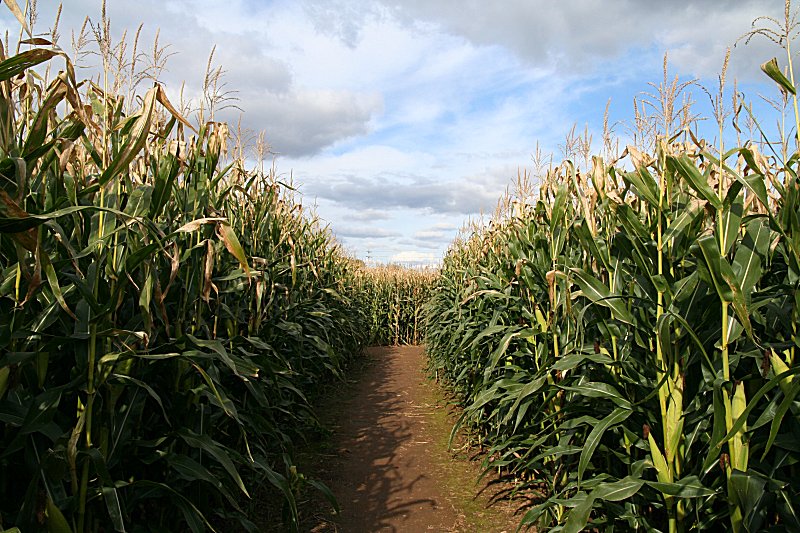
Corn Maze
Truro Tidal Bore
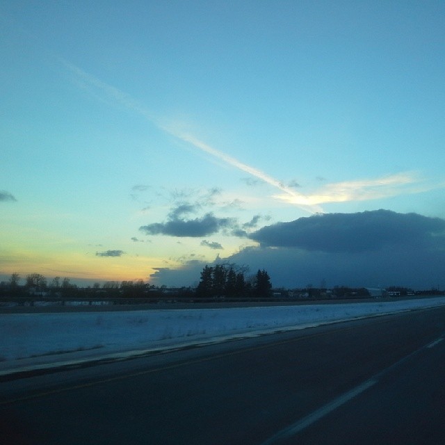
I've always been fascinated with the sky and clouds, what a kewl sunset and clouds coming off the Bay of Fundy. #Truro #NovaScotia #Canada #NouvelleÉcosse #uniontravels #wintertravels #winter #hiver #clouds #sunset #TCH

Wentworth Falls

Truro Tidal Bore
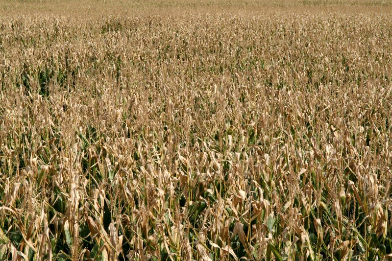
Corn Maze
Truro Tidal Bore
Salmon River HDR

Bay of Fundy Tidal Bore

Shubenacadie River

Truro Tidal Bore
Truro Tidal Bore
Topographic Map of Debert, NS B0M, Canada
Find elevation by address:

Places in Debert, NS B0M, Canada:
Places near Debert, NS B0M, Canada:
47 Lockheed Crescent
Plains Rd, Debert, NS B0M 1G0, Canada
Lightbody Road
Folly Mountain
313 Onslow Mountain Rd
Colchester County
Onslow Mountain
Old Tatamagouche Rd, Onslow Mountain, NS B6L 6P1, Canada
2 Churchill St
2 Churchill St
59 Churchill St
59 Churchill St
401 Robie St
Mccallum Settlement
18 Roosevelt Ave
61 Smith Ave
32 Whitman Ct
Truro
37 King St
78 King St
Recent Searches:
- Elevation of Côte-des-Neiges, Montreal, QC H4A 3J6, Canada
- Elevation of Bobcat Dr, Helena, MT, USA
- Elevation of Zu den Ihlowbergen, Althüttendorf, Germany
- Elevation of Badaber, Peshawar, Khyber Pakhtunkhwa, Pakistan
- Elevation of SE Heron Loop, Lincoln City, OR, USA
- Elevation of Slanický ostrov, 01 Námestovo, Slovakia
- Elevation of Spaceport America, Co Rd A, Truth or Consequences, NM, USA
- Elevation of Warwick, RI, USA
- Elevation of Fern Rd, Whitmore, CA, USA
- Elevation of 62 Abbey St, Marshfield, MA, USA