Elevation of Plains Rd, Debert, NS B0M 1G0, Canada
Location: Canada > Nova Scotia > Colchester County > Colchester, Subd. A > Debert >
Longitude: -63.492747
Latitude: 45.440545
Elevation: 61m / 200feet
Barometric Pressure: 101KPa
Elevation Map:
Satellite Map:
Related Photos:
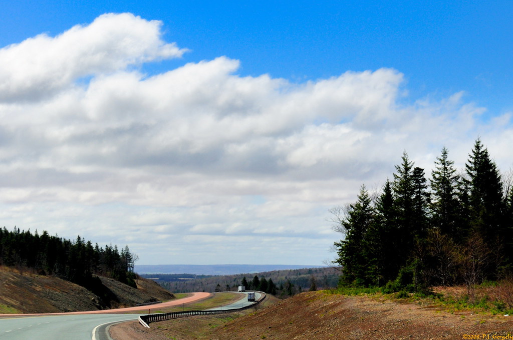
On the Road 1of2 (20080512-105636-PJG)

church.
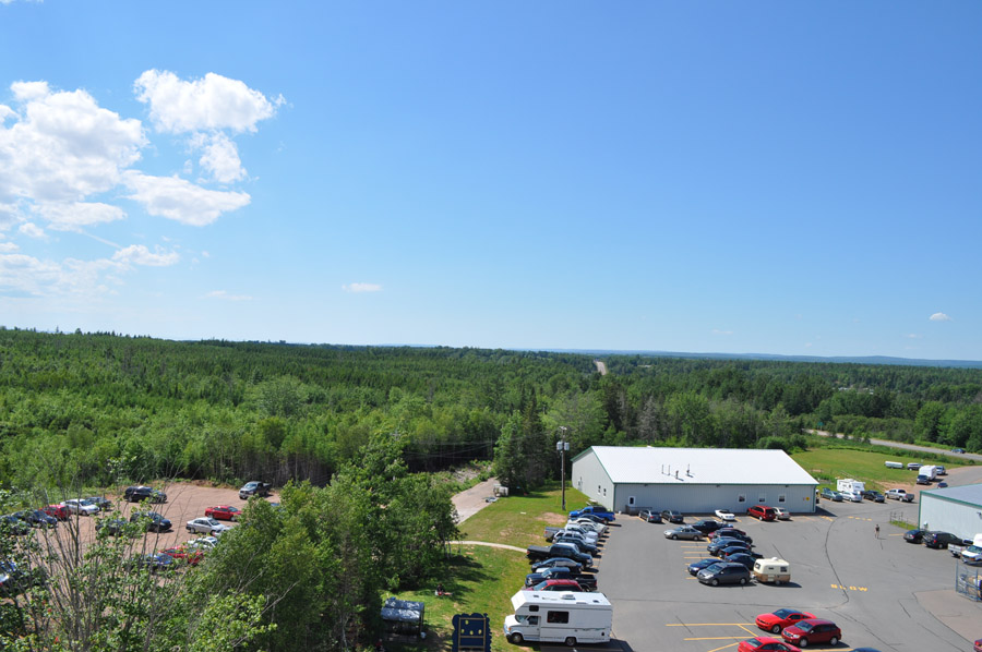
View from the lighthouse

View from the lighthouse
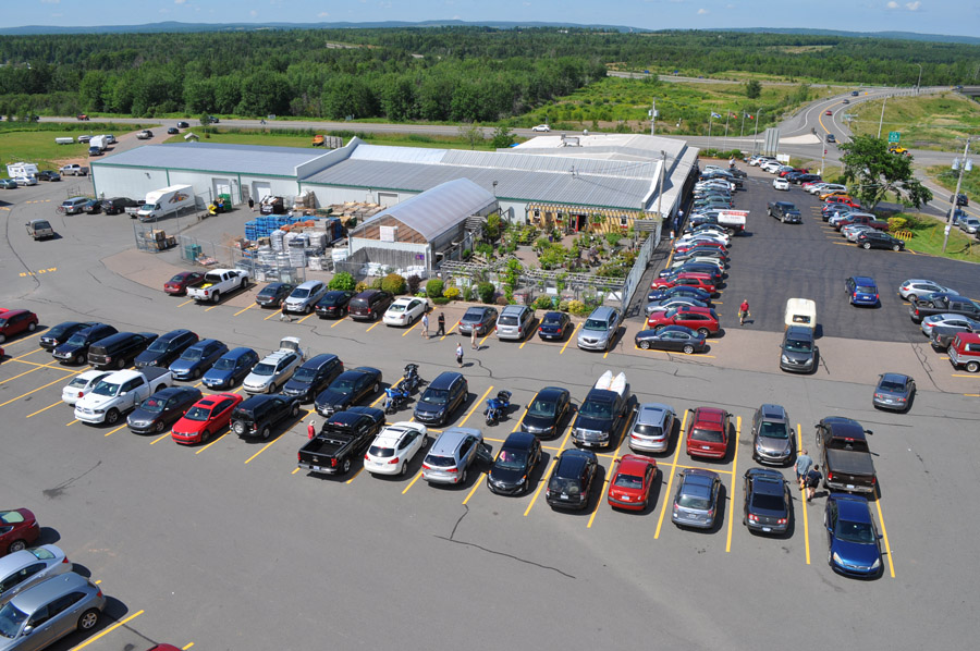
View from the lighthouse

View from the lighthouse

Lawrence Museum Wetlands
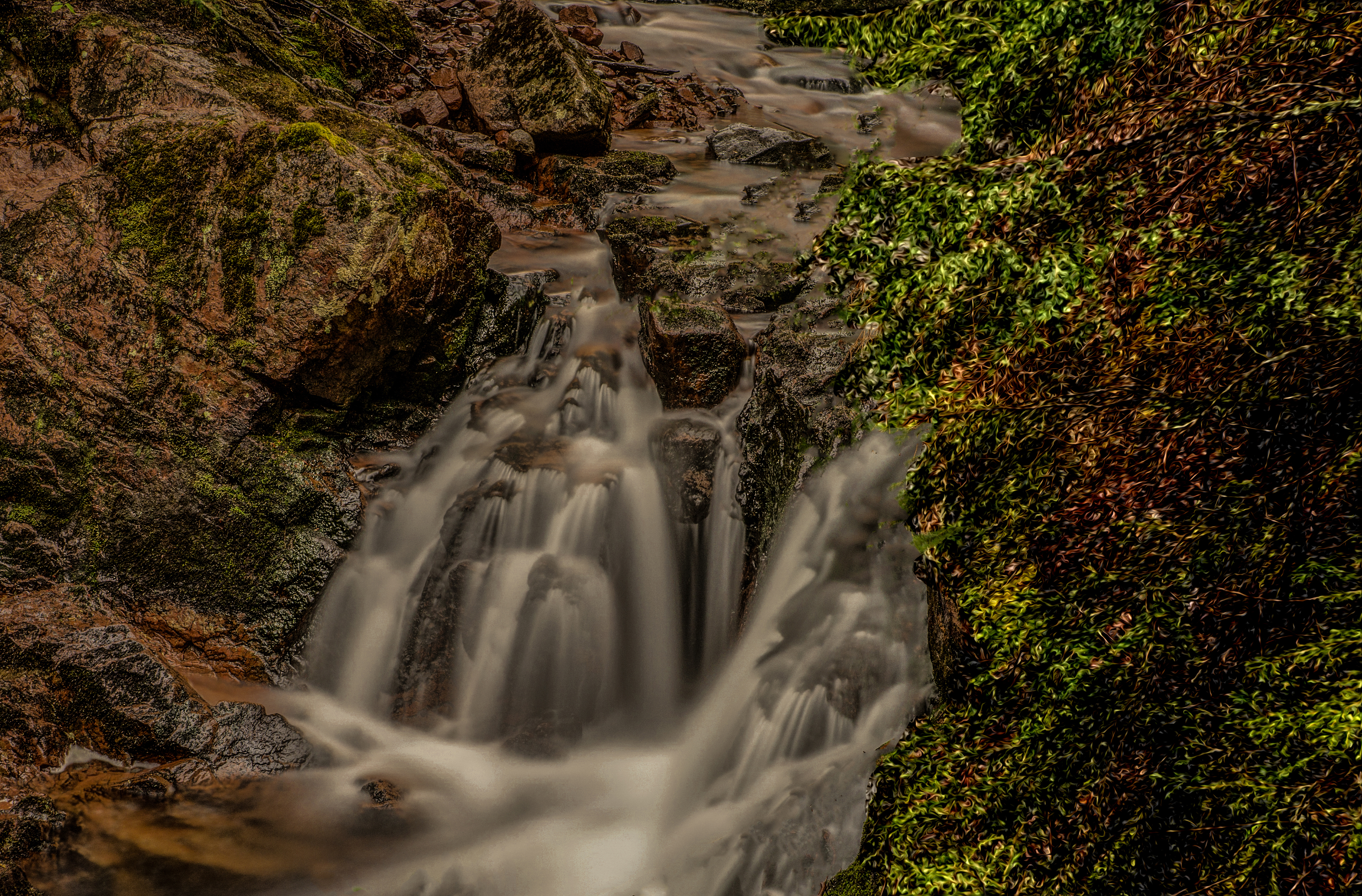
Hart Lake Brook Upper Falls (1)
The fish again
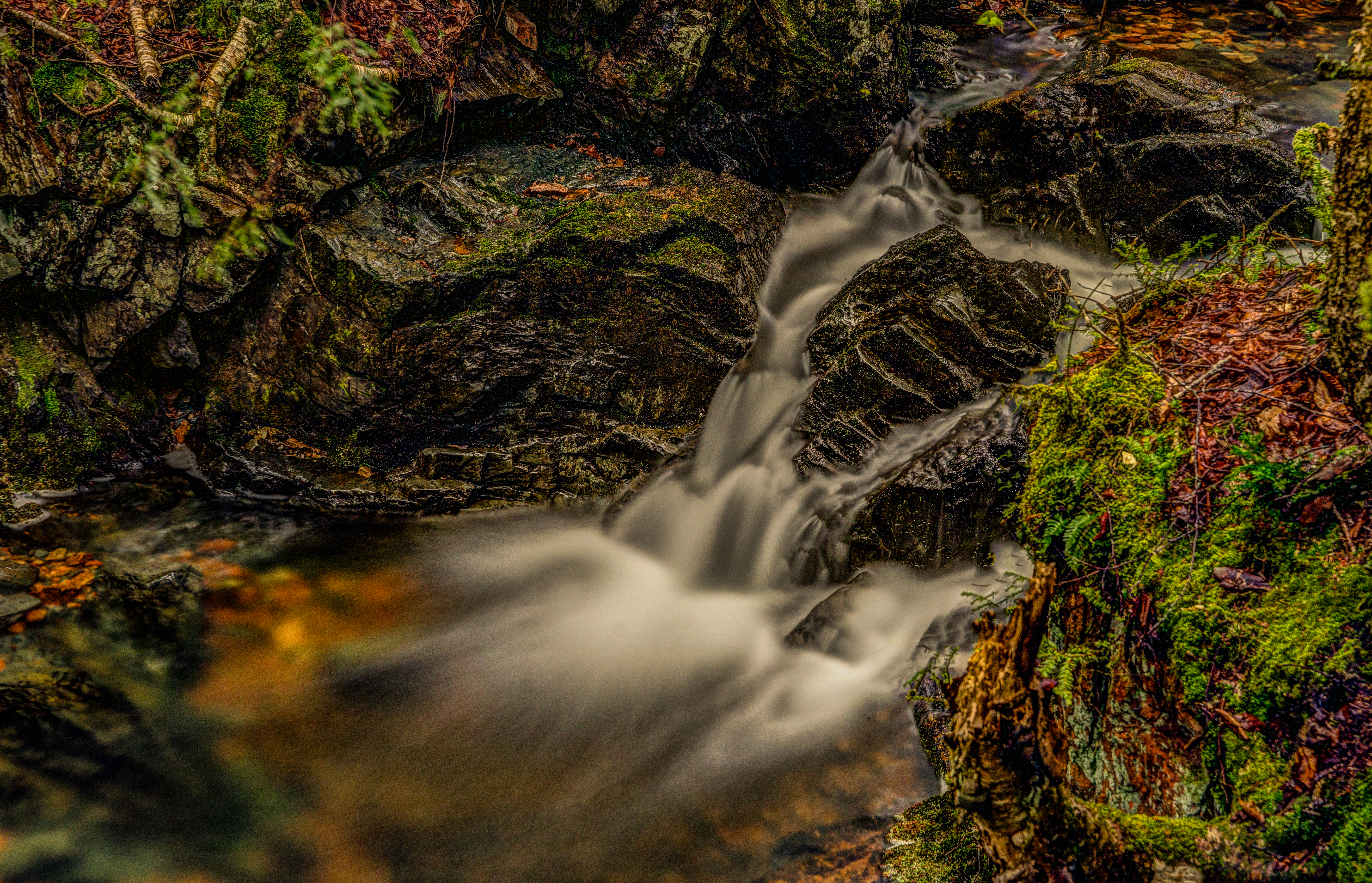
Hart Lake Brook Upper Falls (7)

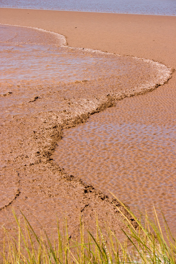
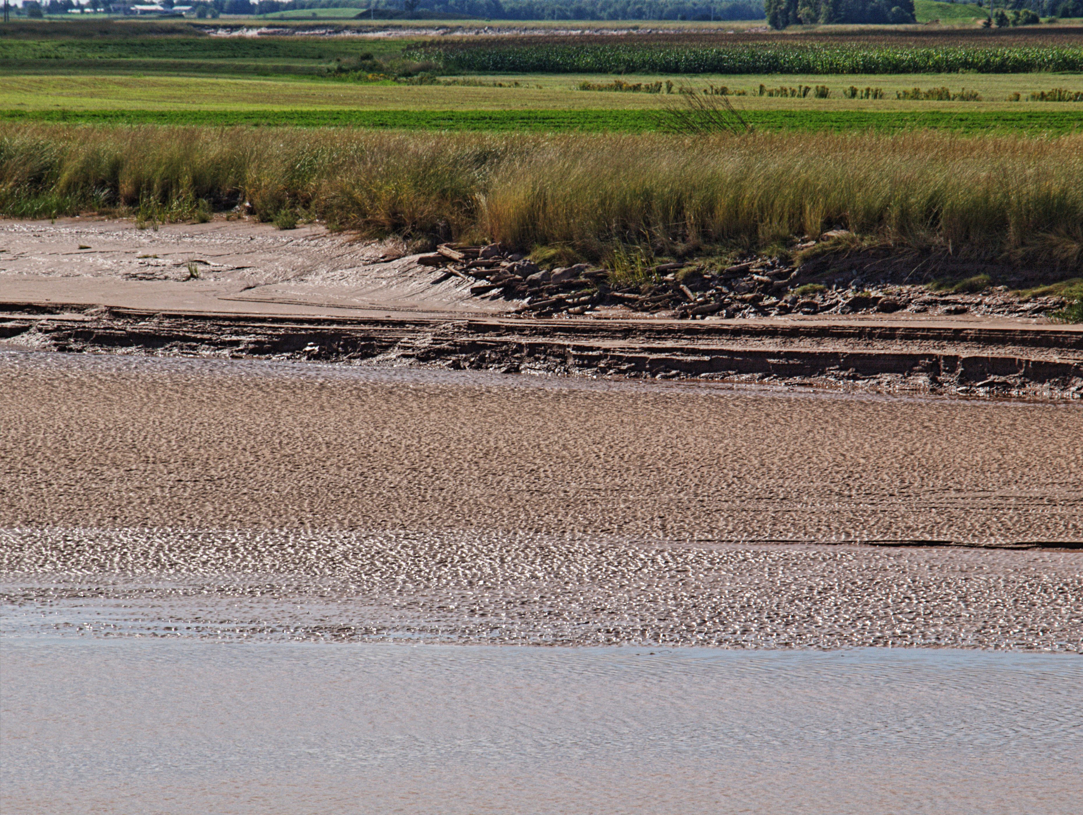
Fundy Mud as seen along the Cobequid trail in Truro

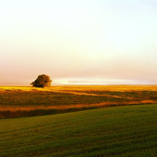
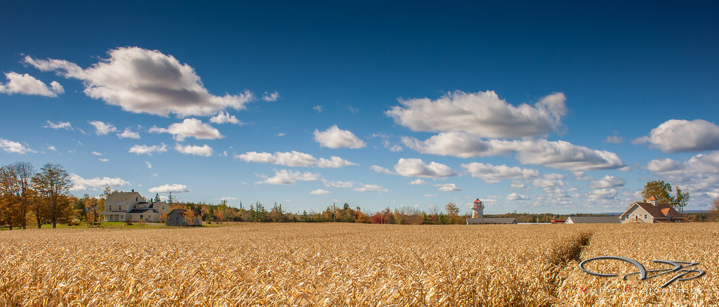
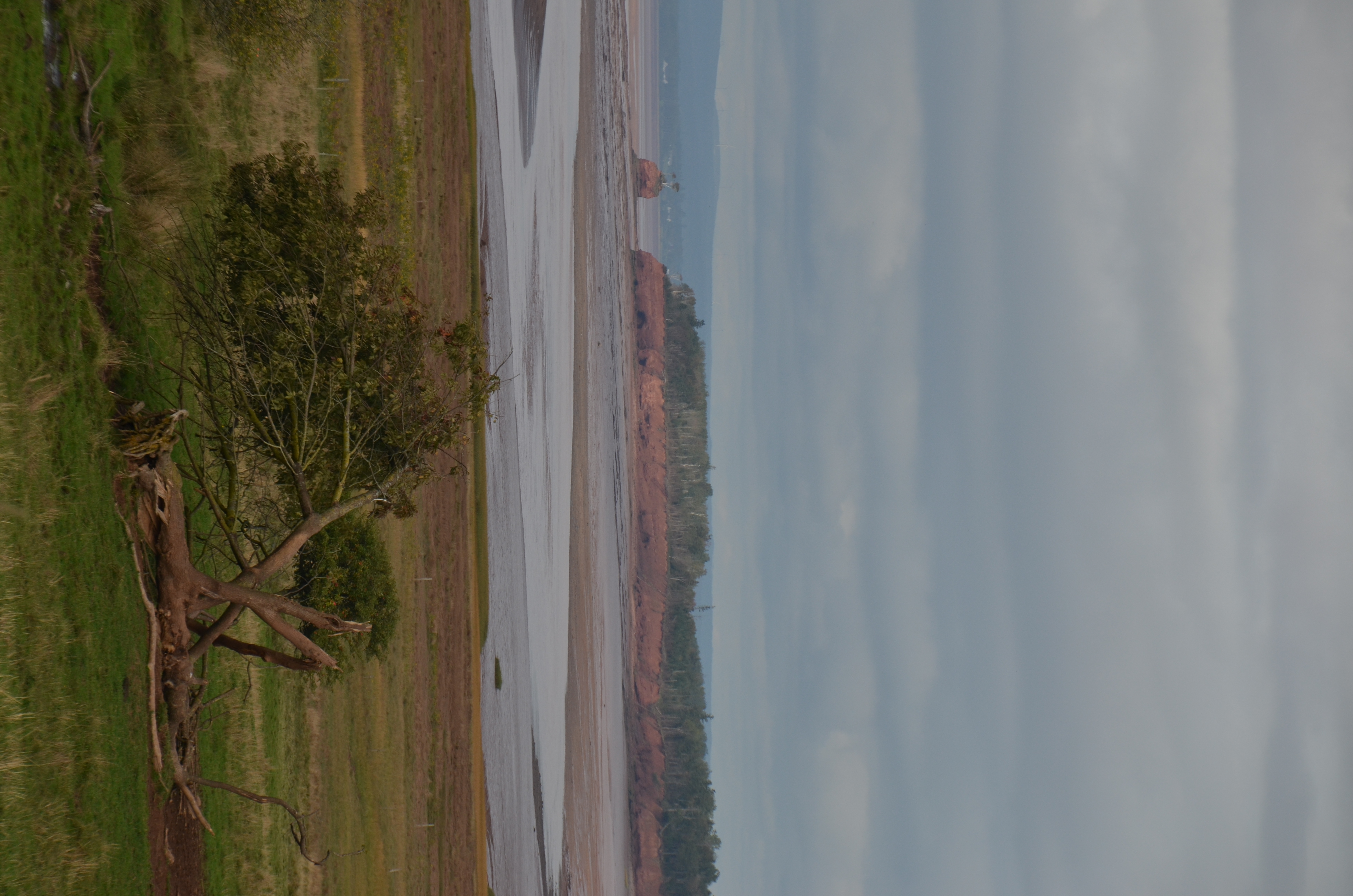
The farm on the hill
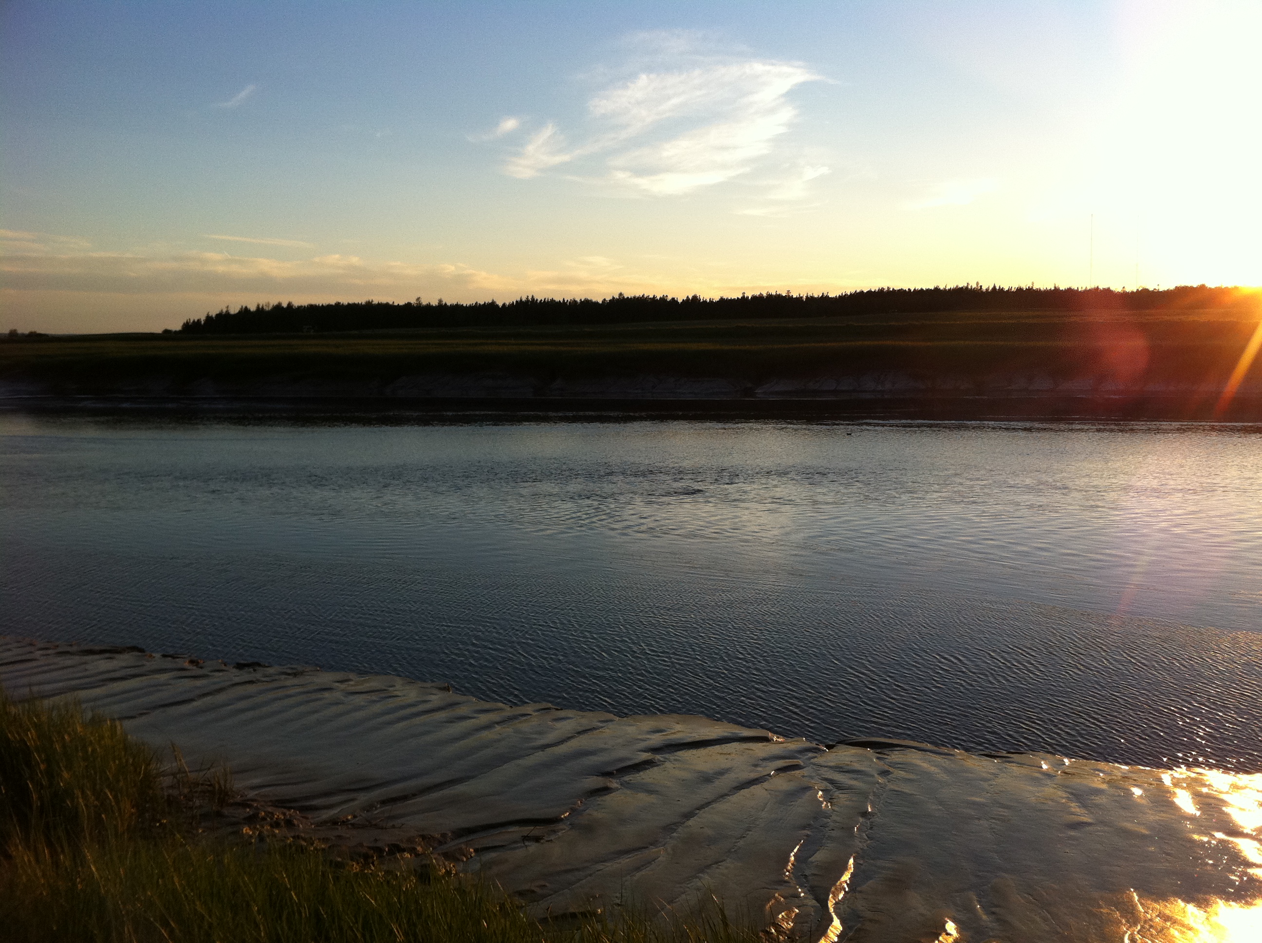
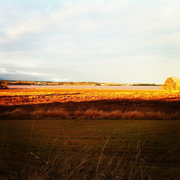
Early morning, Cobequid Bay
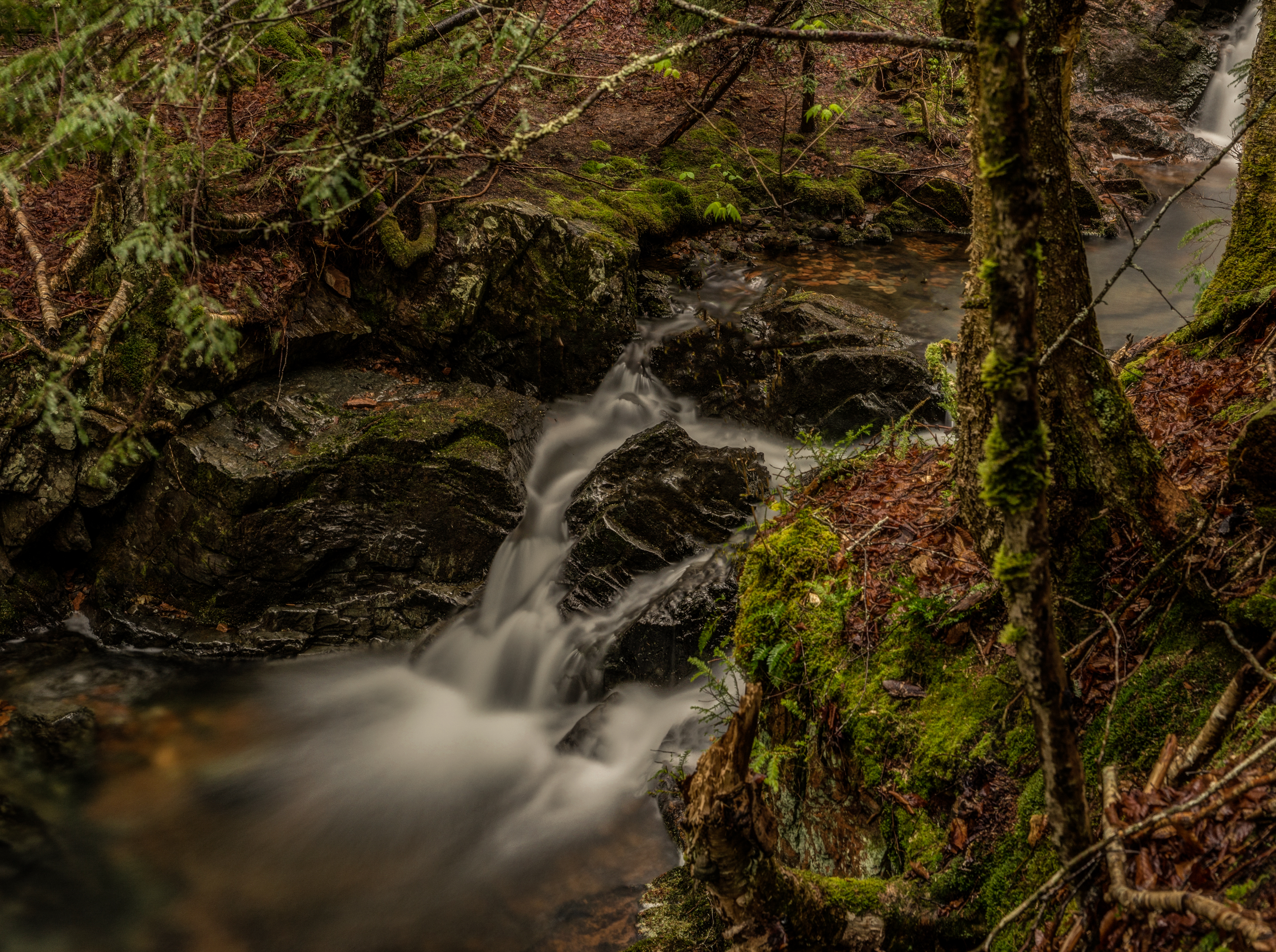
Hart Lake Brook Upper Falls (5)
Where the Shubenacadie River meets the Cobequid Bay
Corn Field

project 365 - january 31
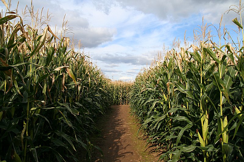
Corn Maze
Truro Tidal Bore
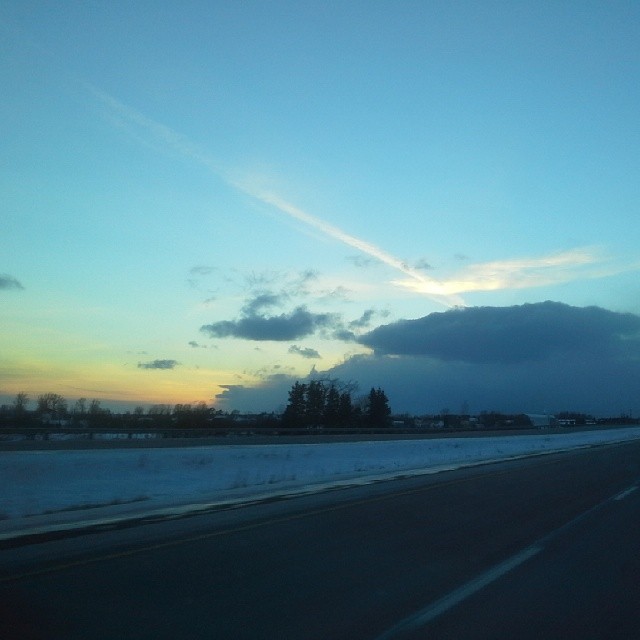
I've always been fascinated with the sky and clouds, what a kewl sunset and clouds coming off the Bay of Fundy. #Truro #NovaScotia #Canada #NouvelleÉcosse #uniontravels #wintertravels #winter #hiver #clouds #sunset #TCH

Wentworth Falls

Truro Tidal Bore
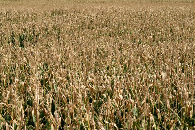
Corn Maze
Küstenlandschaft
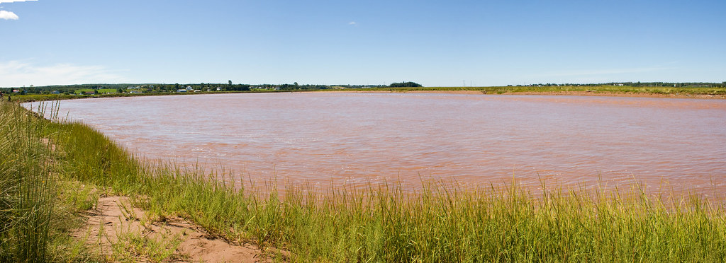
Truro Tidal Bore
Salmon River HDR
Topographic Map of Plains Rd, Debert, NS B0M 1G0, Canada
Find elevation by address:

Places near Plains Rd, Debert, NS B0M 1G0, Canada:
Debert
Folly Mountain
47 Lockheed Crescent
Lightbody Road
313 Onslow Mountain Rd
Colchester County
Onslow Mountain
Old Tatamagouche Rd, Onslow Mountain, NS B6L 6P1, Canada
2 Churchill St
2 Churchill St
59 Churchill St
59 Churchill St
Mccallum Settlement
401 Robie St
18 Roosevelt Ave
61 Smith Ave
32 Whitman Ct
Truro
37 King St
78 King St
Recent Searches:
- Elevation of Fernwood, Bradenton, FL, USA
- Elevation of Felindre, Swansea SA5 7LU, UK
- Elevation of Leyte Industrial Development Estate, Isabel, Leyte, Philippines
- Elevation of W Granada St, Tampa, FL, USA
- Elevation of Pykes Down, Ivybridge PL21 0BY, UK
- Elevation of Jalan Senandin, Lutong, Miri, Sarawak, Malaysia
- Elevation of Bilohirs'k
- Elevation of 30 Oak Lawn Dr, Barkhamsted, CT, USA
- Elevation of Luther Road, Luther Rd, Auburn, CA, USA
- Elevation of Unnamed Road, Respublika Severnaya Osetiya — Alaniya, Russia