Elevation of Deaf Smith County, TX, USA
Location: United States > Texas >
Longitude: -102.52980
Latitude: 35.0017354
Elevation: 1238m / 4062feet
Barometric Pressure: 87KPa
Elevation Map:
Satellite Map:
Related Photos:
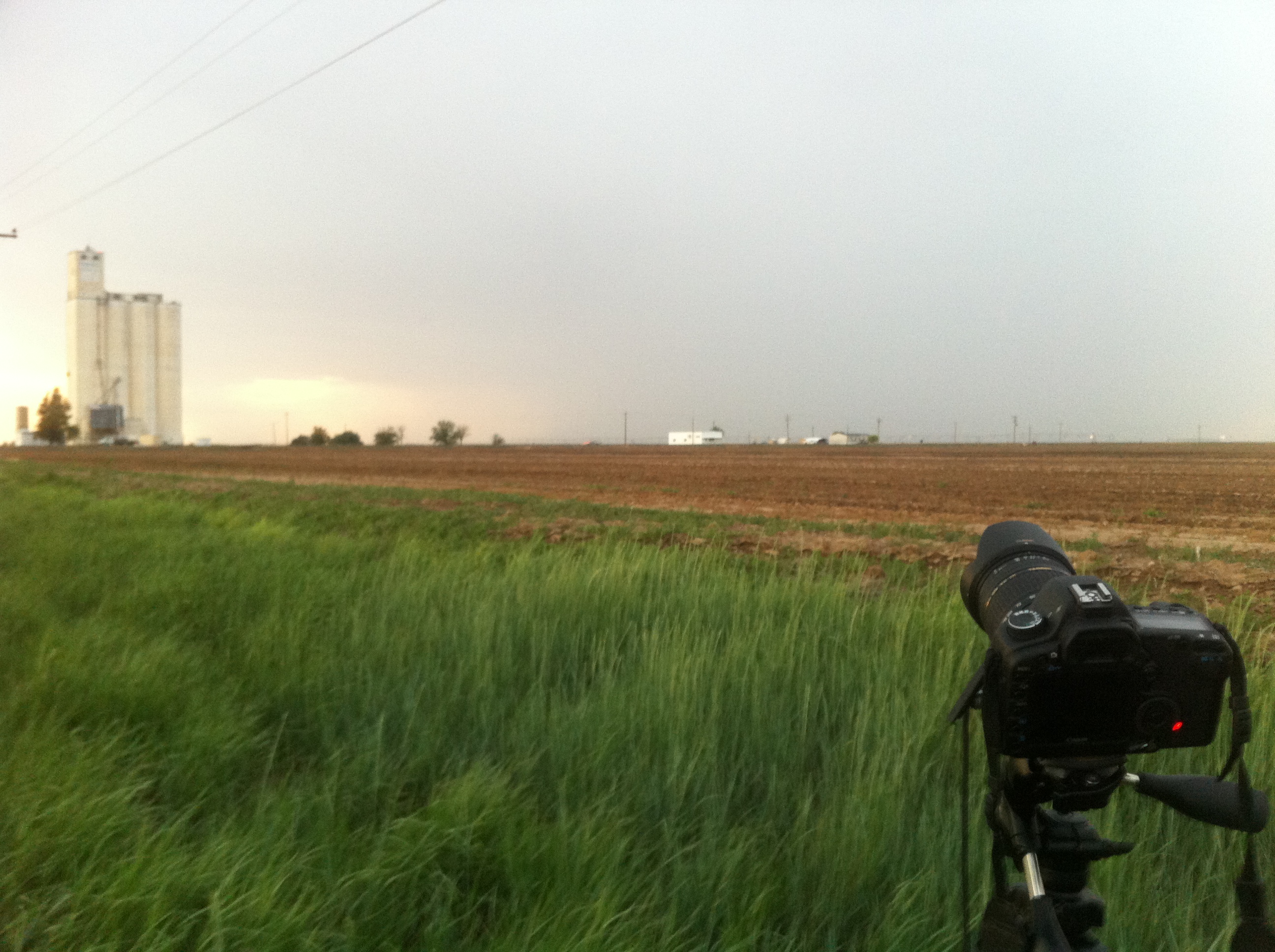
IMG_2887

370
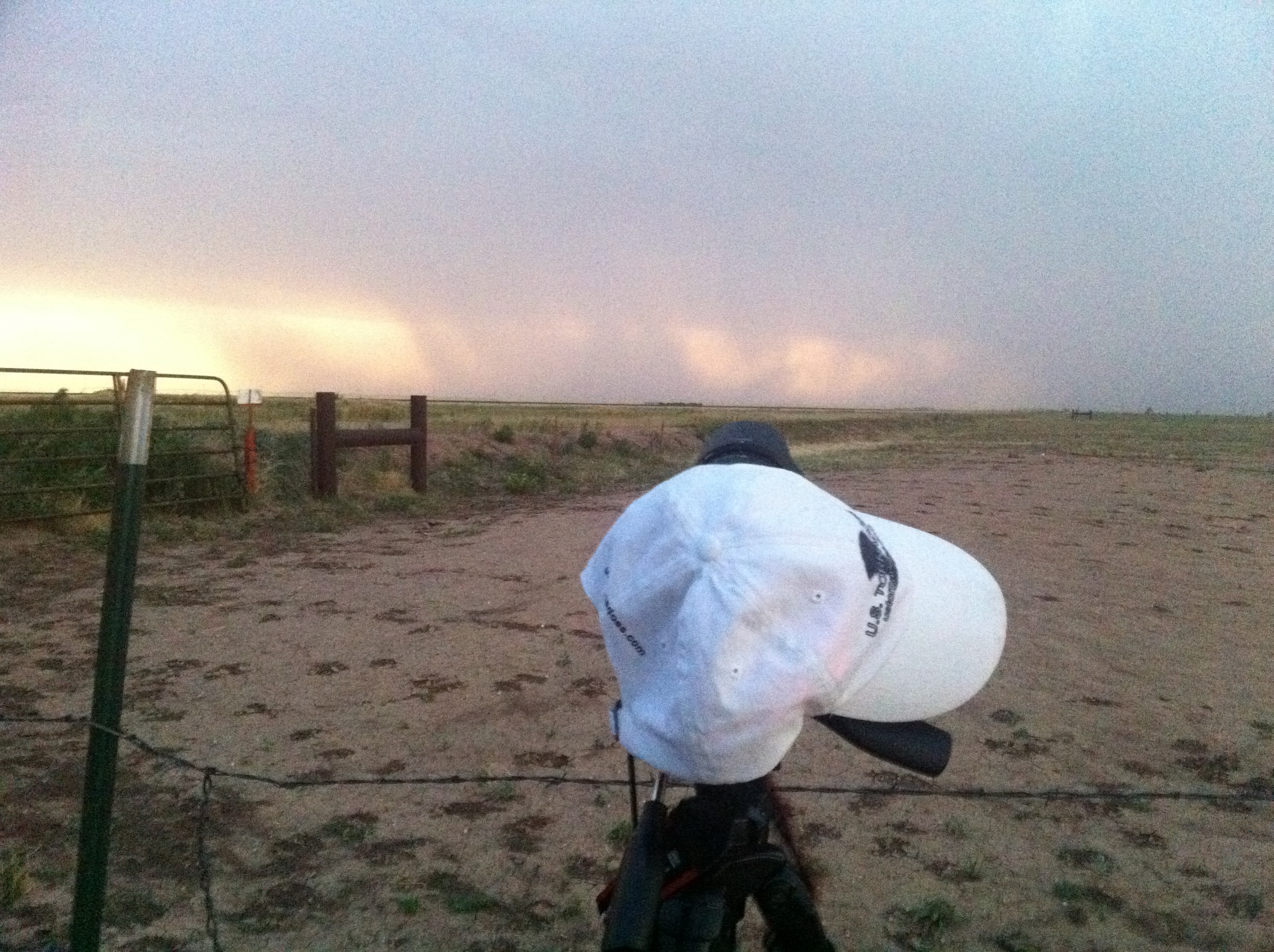
IMG_2889

IMG_2891
Topographic Map of Deaf Smith County, TX, USA
Find elevation by address:

Places in Deaf Smith County, TX, USA:
Places near Deaf Smith County, TX, USA:
3898 Fm1057
Hereford
Co Rd 9A, Hereford, TX, USA
Alines Rd, Canyon, TX, USA
FM, Dimmitt, TX, USA
23000 Adkisson Rd
Dimmitt
E Bedford St, Dimmitt, TX, USA
Castro County
6720 Arnot Rd
10399 Gordon Cummings Rd
301 Us-60
Let It Be
17455 White Wing Rd
15190 Penny Lane
Penny Lane
22 Canyon Rim Dr
8401 Shady Lake Dr
1401 1st Ave
1701 Creekmere Dr
Recent Searches:
- Elevation of Falling Spring Rd, Clyde, NC, USA
- Elevation of Kingsfield St, Castle Rock, CO, USA
- Elevation of AMELIA CT HSE, VA, USA
- Elevation of Abbey Dr, Virginia Beach, VA, USA
- Elevation of Brooks Lp, Spearfish, SD, USA
- Elevation of Panther Dr, Maggie Valley, NC, USA
- Elevation of Jais St - Wadi Shehah - Ras al Khaimah - United Arab Emirates
- Elevation of Shawnee Avenue, Shawnee Ave, Easton, PA, USA
- Elevation of Scenic Shore Dr, Kingwood Area, TX, USA
- Elevation of W Prive Cir, Delray Beach, FL, USA