Elevation of Damron Dr, North Manchester, IN, USA
Location: United States > Indiana > Wabash County > Pleasant Township > North Manchester >
Longitude: -85.766682
Latitude: 41.012403
Elevation: 239m / 784feet
Barometric Pressure: 98KPa
Elevation Map:
Satellite Map:
Related Photos:

Manchester High School Gym

Position light lamp
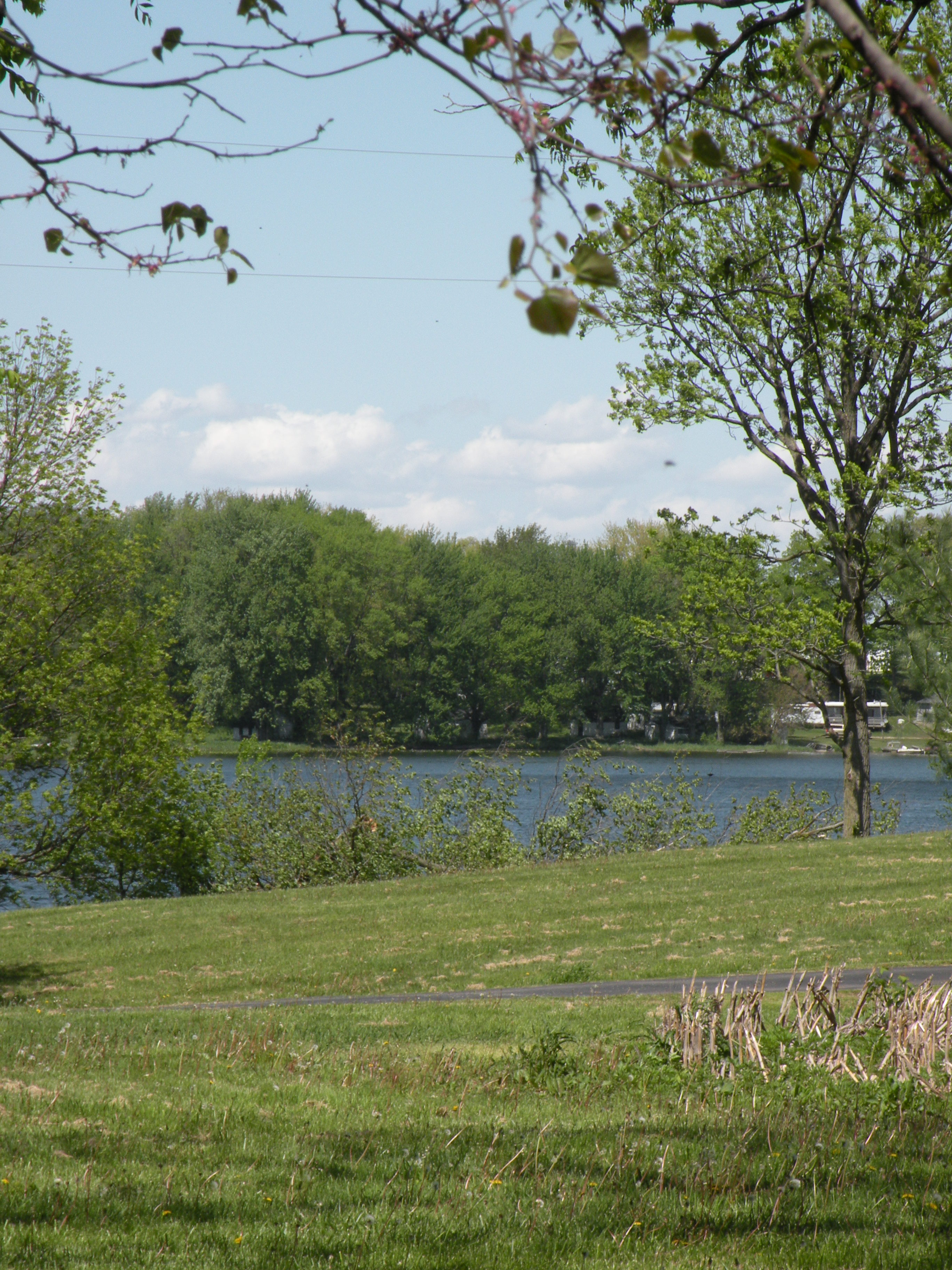
View from Sons backyard
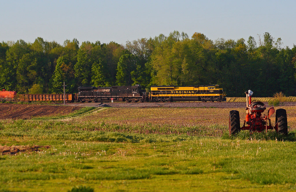
NS 1069 West - Claypool
Sweet 60's

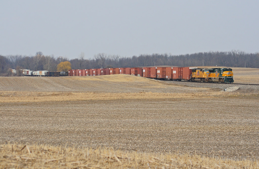
Fields, Near Claypool IN
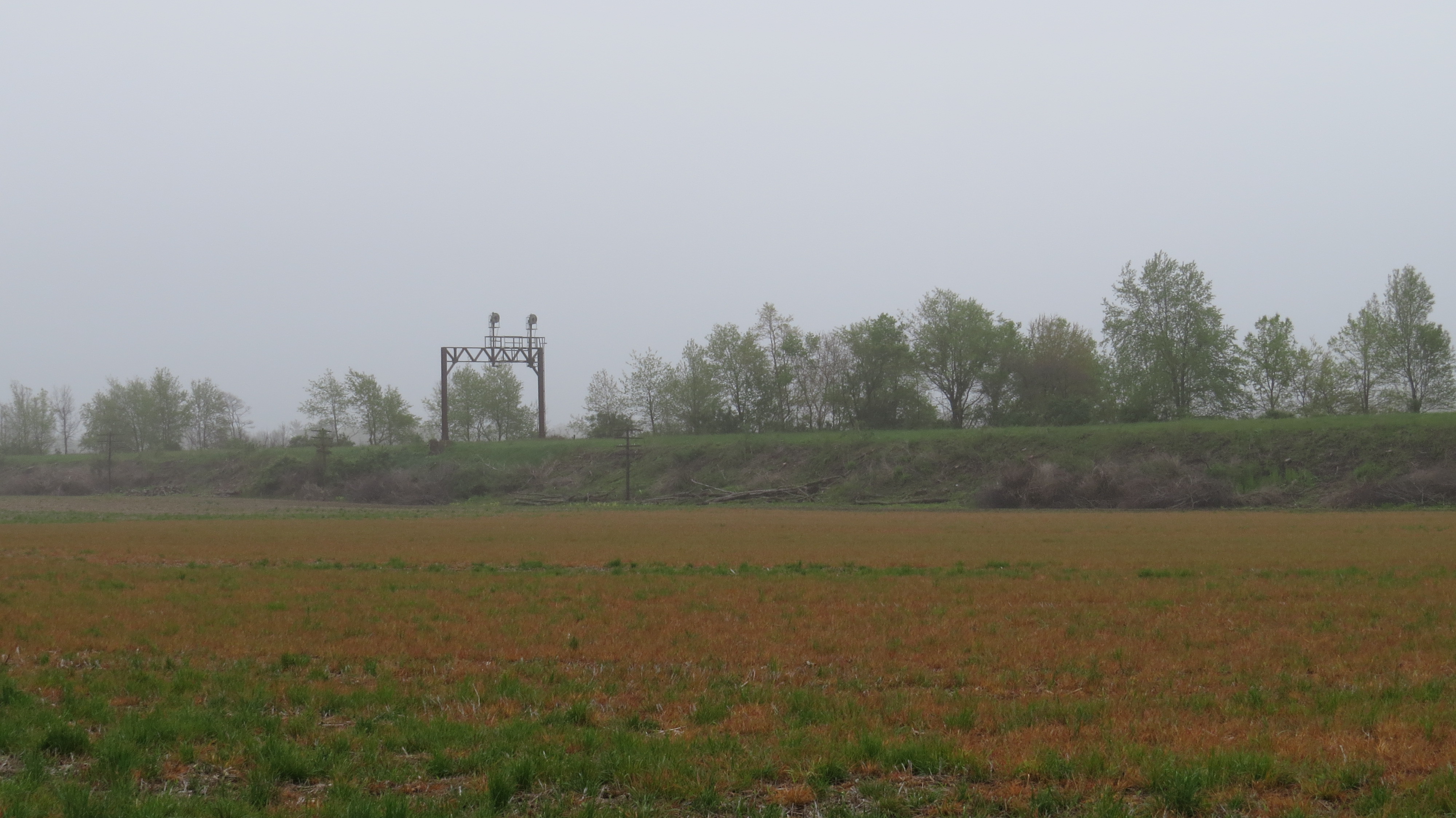
Erie Signal
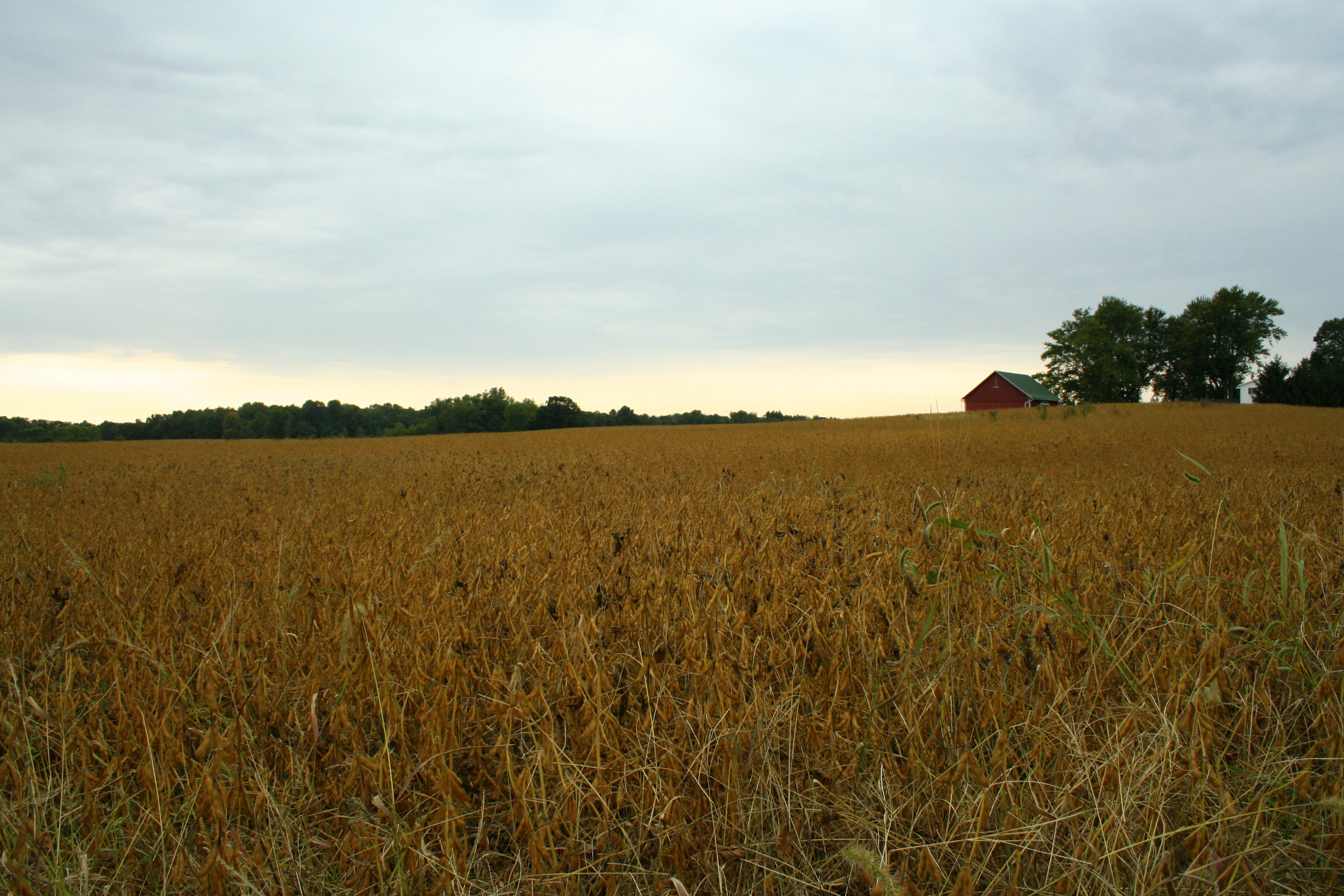
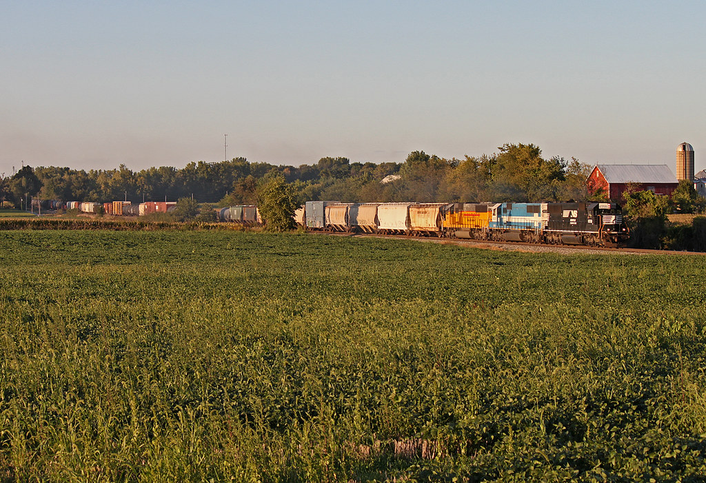
Bean Field

Wild Daisy's

Grist Mill

Ole Grist Mill

Grist Mill 2

Abe Lincoln

Barn near Wabash, IN

Indiana Countryside

NS 365 - Packerton
Hill & Dale
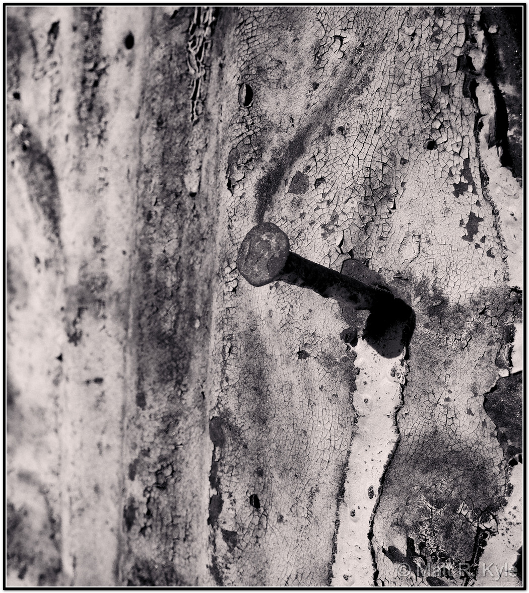
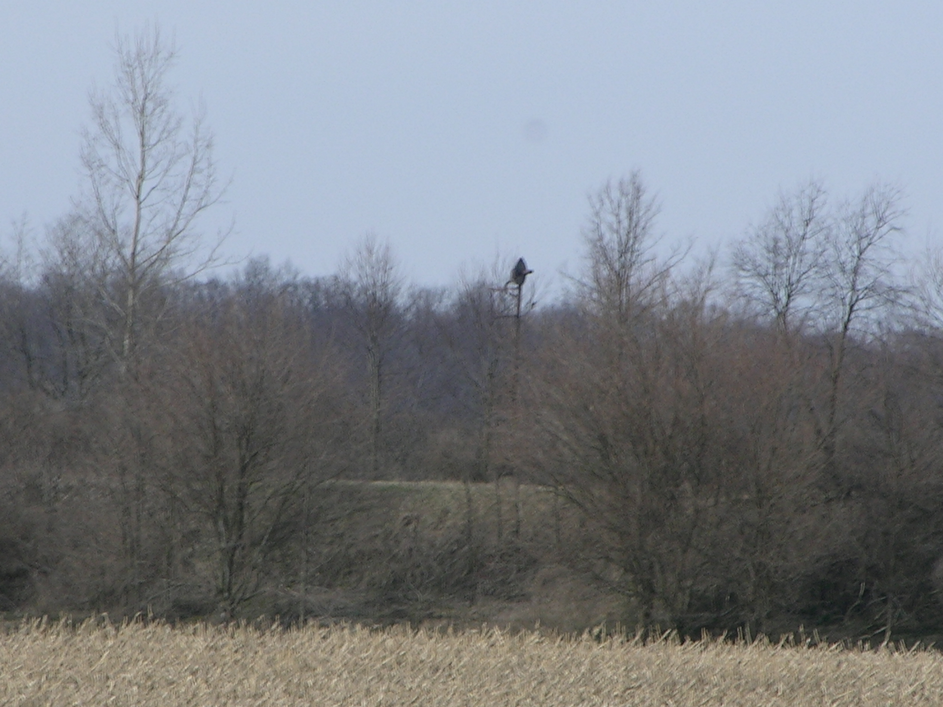
Knock me Down B/W

Straw Field

Wild Flowers

By this point I was starting to feel like an extra on the Telletubbies set
RX Interlocking - Laketon, IN
Topographic Map of Damron Dr, North Manchester, IN, USA
Find elevation by address:

Places near Damron Dr, North Manchester, IN, USA:
405 Woodland Dr
North Manchester
10 2nd St, North Manchester, IN, USA
Chester Township
Jackson Township
N Main St, Sidney, IN, USA
Sidney
S W, South Whitley, IN, USA
W Bracken Rd, Huntington, IN, USA
Cleveland Township
South Whitley
Warren Township
8221 W 900 N
W Bracken Rd, Huntington, IN, USA
N Goshen Rd, Huntington, IN, USA
3147 County Rd 400 W
N W, Huntington, IN, USA
Whitley County
Washington Township
Clear Creek Township
Recent Searches:
- Elevation of Pu Ngaol Community Meeting Hall, HWHM+3X7, Krong Saen Monourom, Cambodia
- Elevation of Royal Ontario Museum, Queens Park, Toronto, ON M5S 2C6, Canada
- Elevation of Groblershoop, South Africa
- Elevation of Power Generation Enterprises | Industrial Diesel Generators, Oak Ave, Canyon Country, CA, USA
- Elevation of Chesaw Rd, Oroville, WA, USA
- Elevation of N, Mt Pleasant, UT, USA
- Elevation of 6 Rue Jules Ferry, Beausoleil, France
- Elevation of Sattva Horizon, 4JC6+G9P, Vinayak Nagar, Kattigenahalli, Bengaluru, Karnataka, India
- Elevation of Great Brook Sports, Gold Star Hwy, Groton, CT, USA
- Elevation of 10 Mountain Laurels Dr, Nashua, NH, USA