Elevation of Washington Township, IN, USA
Location: United States > Indiana > Whitley County >
Longitude: -85.499419
Latitude: 41.0524839
Elevation: 254m / 833feet
Barometric Pressure: 98KPa
Elevation Map:
Satellite Map:
Related Photos:
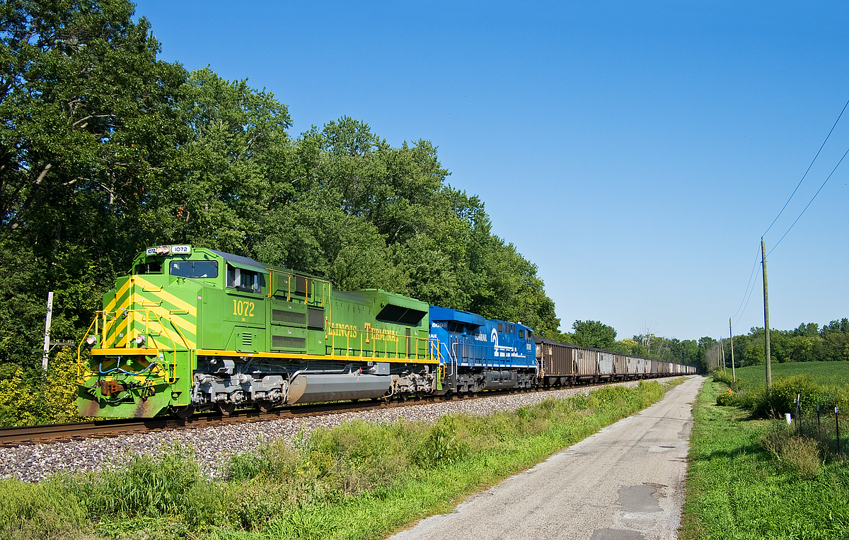
NS 1072, NS Chicago District, South Whitley, Indiana
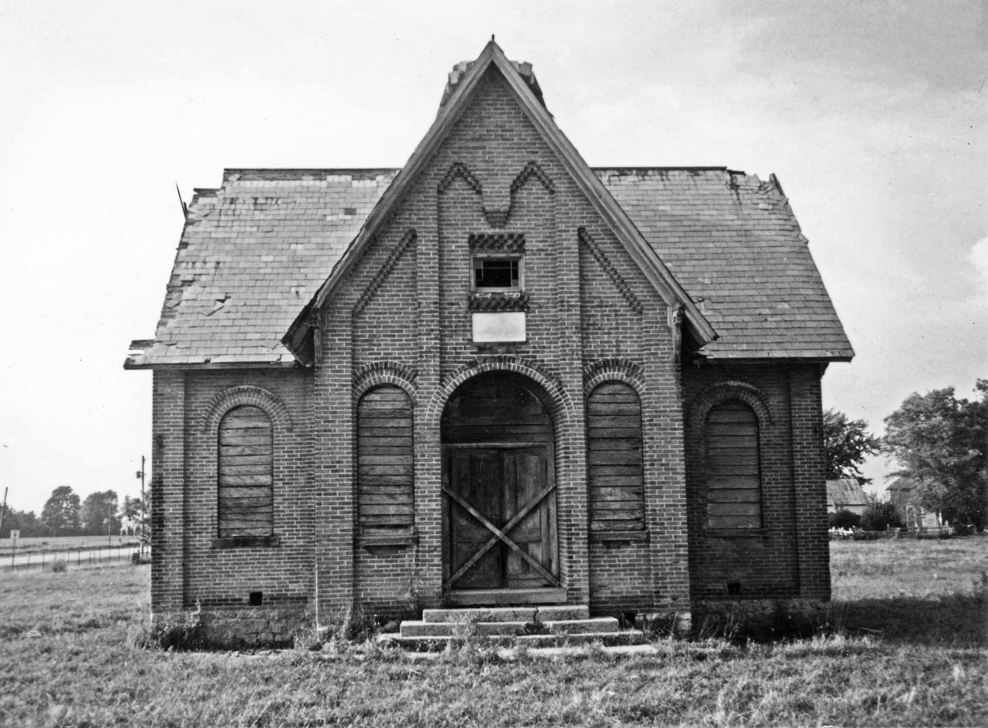
Whitley County Shoolhouse
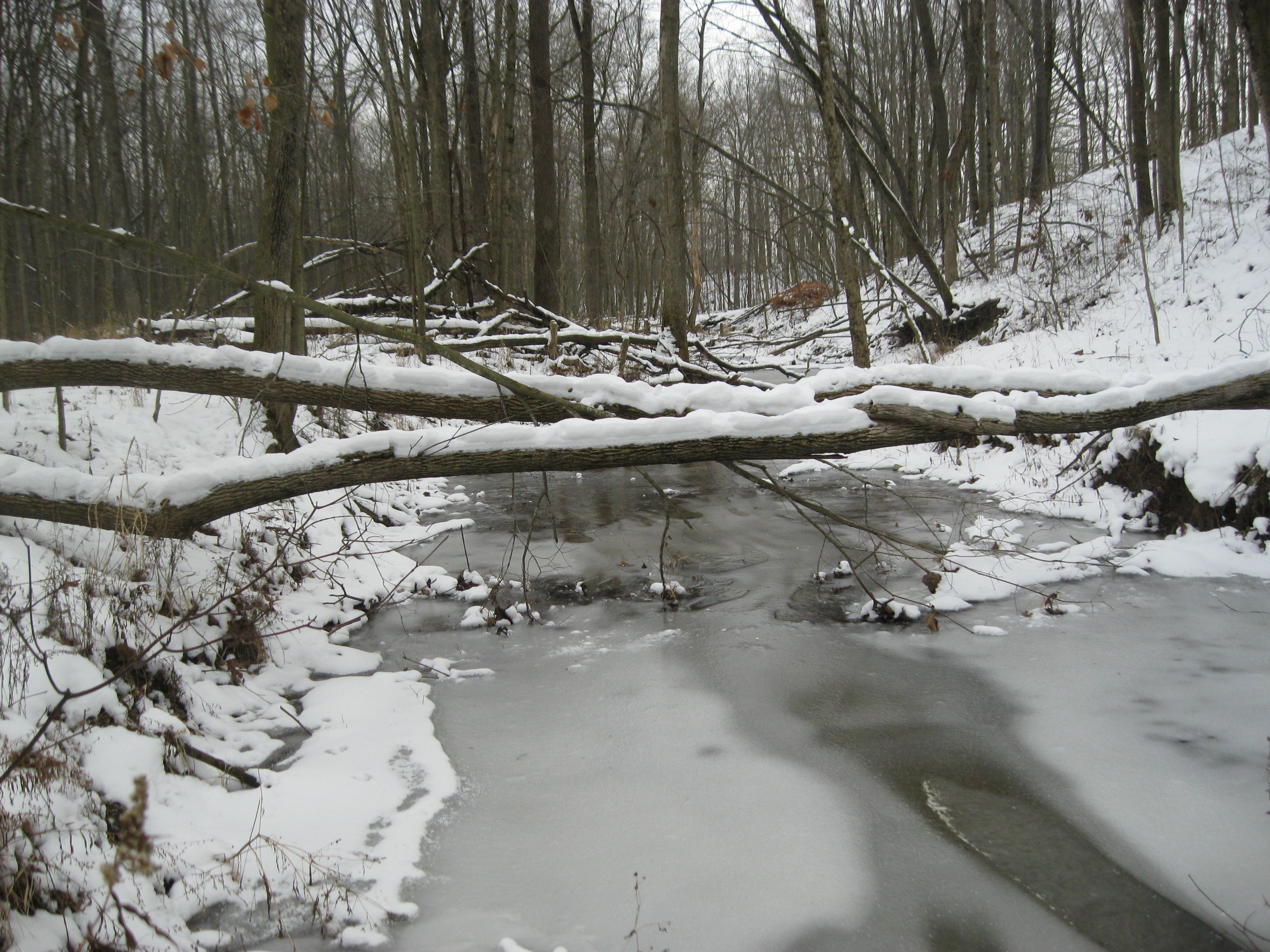
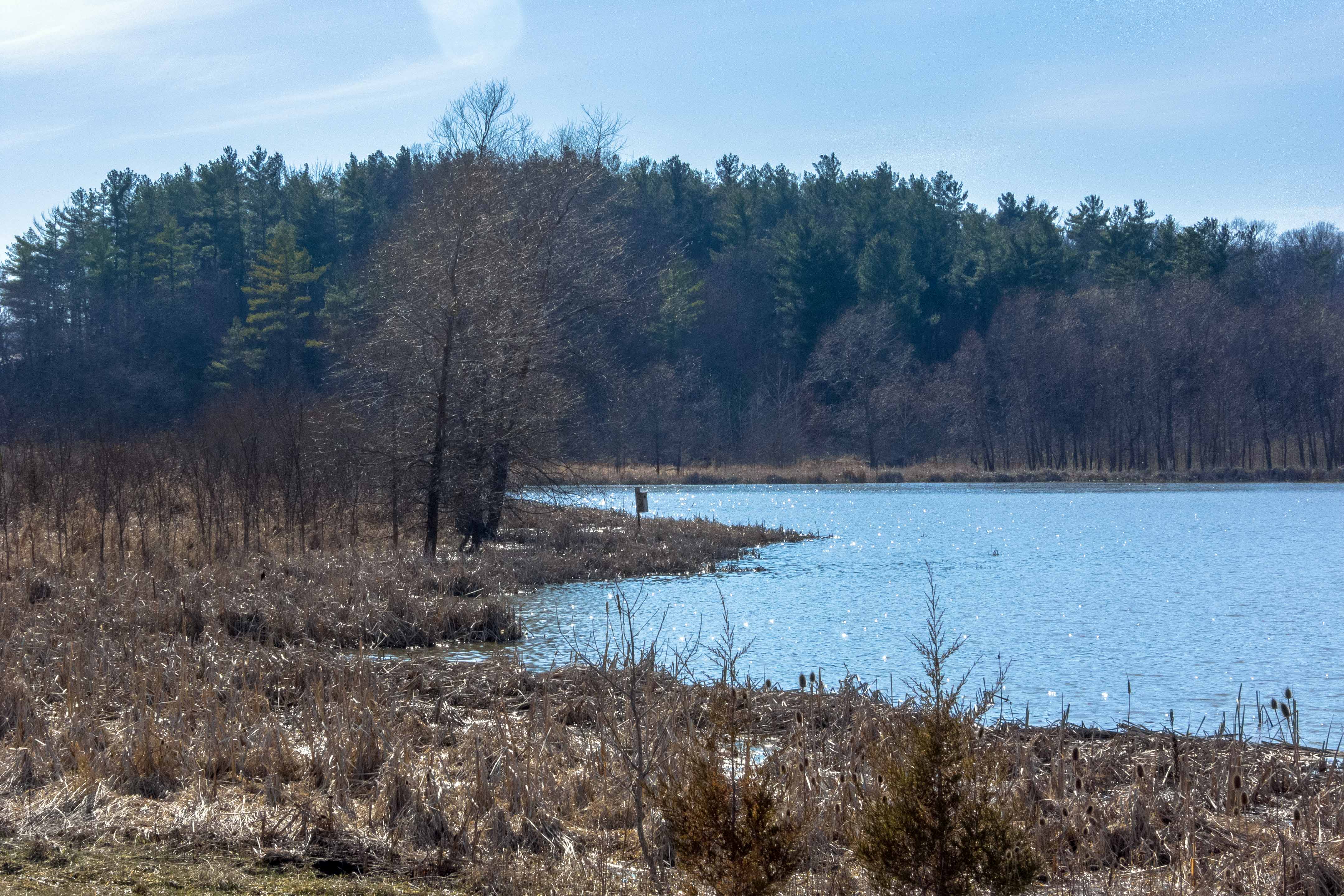
Creek view

Indiana Hay Bales

Red Barn, Whitley County, IN

Camera Roll-663
Knock me Down B/W

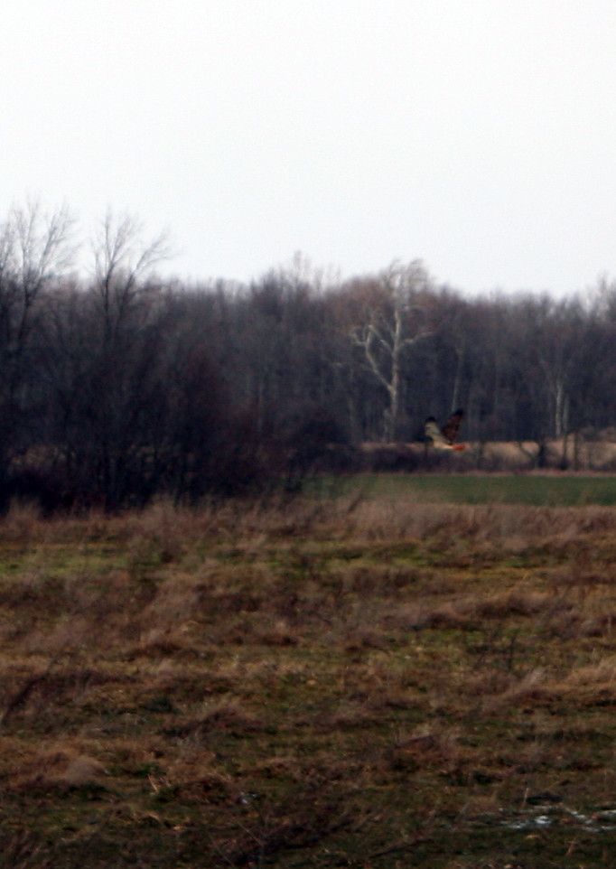
Henslow's Sparrow
Indiana Countryside

Wild Flowers

2013 - February
2013 - March
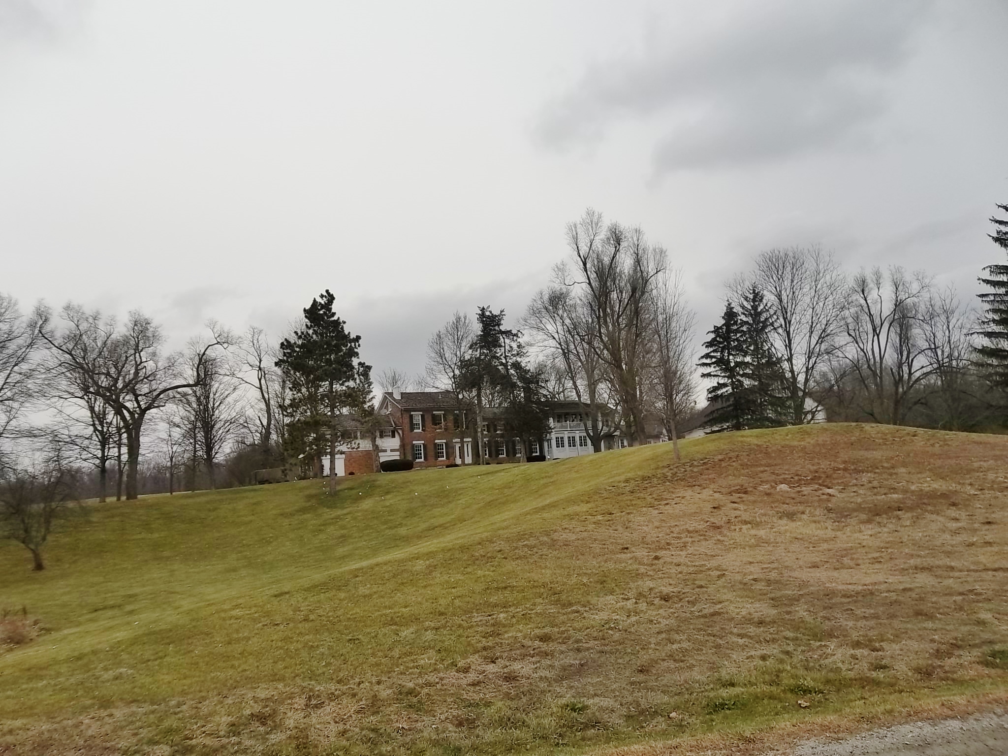
Vermilyea House

Sharp Image, Aboite, IN

Soft focus for soft light

2013 - March
Topographic Map of Washington Township, IN, USA
Find elevation by address:

Places in Washington Township, IN, USA:
Places near Washington Township, IN, USA:
S E, Columbia City, IN, USA
N W, Huntington, IN, USA
Whitley County
S Raber Rd, Columbia City, IN, USA
Clear Creek Township
N Goshen Rd, Huntington, IN, USA
3147 County Rd 400 W
W Bracken Rd, Huntington, IN, USA
Cleveland Township
South Whitley
W Bracken Rd, Huntington, IN, USA
Warren Township
8221 W 900 N
S W, South Whitley, IN, USA
Chester Township
Jackson Township
10 2nd St, North Manchester, IN, USA
Sidney
N Main St, Sidney, IN, USA
405 Woodland Dr
Recent Searches:
- Elevation of Crocker Dr, Vacaville, CA, USA
- Elevation of Pu Ngaol Community Meeting Hall, HWHM+3X7, Krong Saen Monourom, Cambodia
- Elevation of Royal Ontario Museum, Queens Park, Toronto, ON M5S 2C6, Canada
- Elevation of Groblershoop, South Africa
- Elevation of Power Generation Enterprises | Industrial Diesel Generators, Oak Ave, Canyon Country, CA, USA
- Elevation of Chesaw Rd, Oroville, WA, USA
- Elevation of N, Mt Pleasant, UT, USA
- Elevation of 6 Rue Jules Ferry, Beausoleil, France
- Elevation of Sattva Horizon, 4JC6+G9P, Vinayak Nagar, Kattigenahalli, Bengaluru, Karnataka, India
- Elevation of Great Brook Sports, Gold Star Hwy, Groton, CT, USA